Elevation of OH-2, Hicksville, OH, USA
Location: United States > Ohio > Defiance County > Hicksville Township > Hicksville >
Longitude: -84.709535
Latitude: 41.324506
Elevation: 233m / 764feet
Barometric Pressure: 99KPa
Elevation Map:
Satellite Map:
Related Photos:
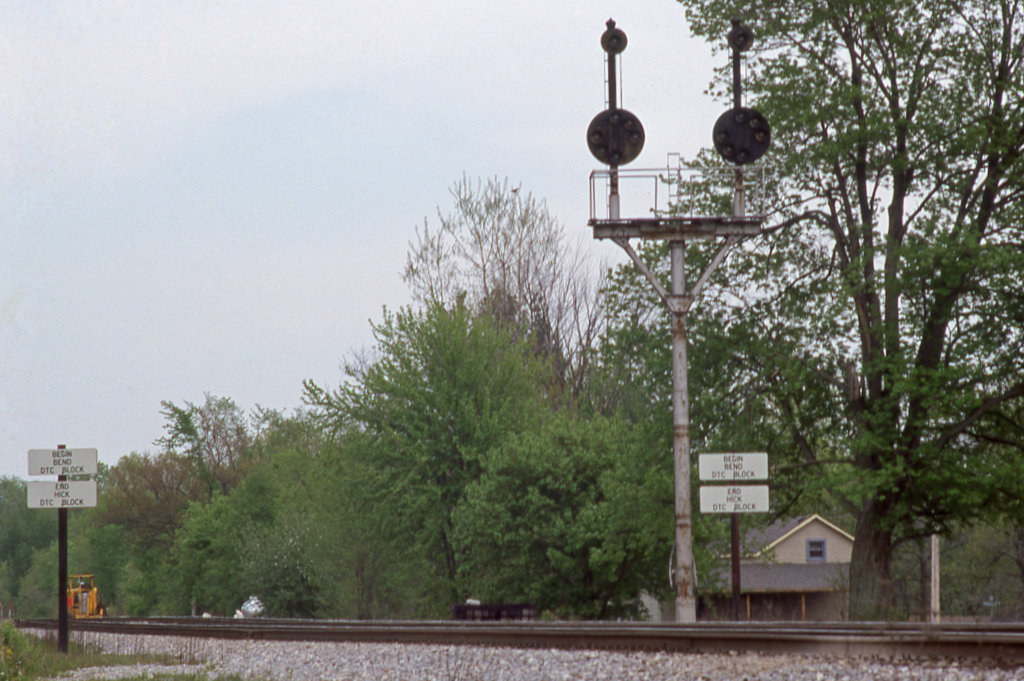
CSX_Sherwood-OH-EB-signals_EY1997-1
Making Tracks
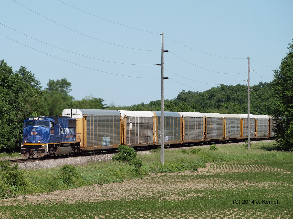
CSX Q209. June 5, 2014
NS_Melbern-OH_21T-Derailment_071013-2
NS_Melbern-OH_21T-Derailment_071013-3
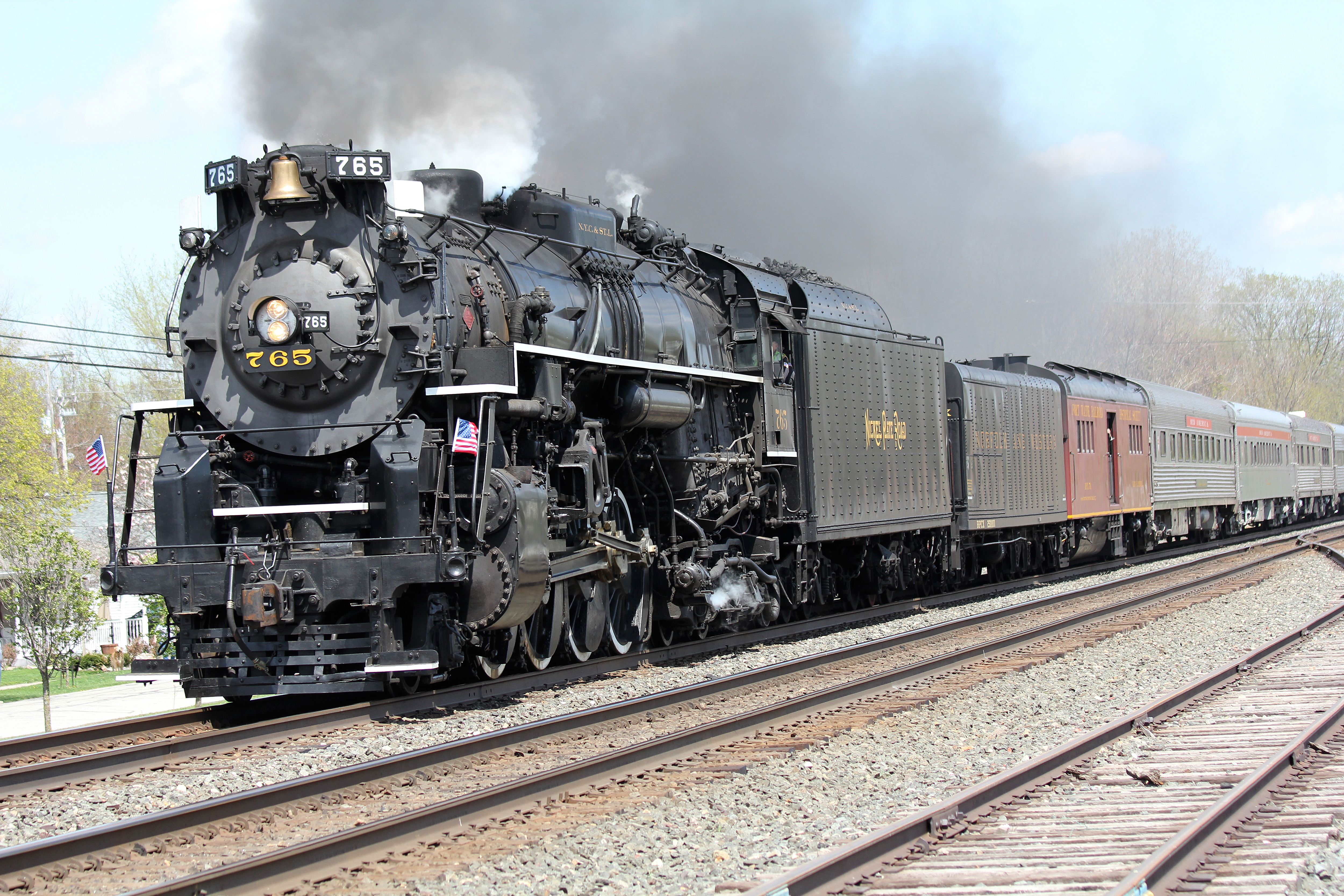
Milwuakee #261 Indo
NS_Edgerton-OH_CL3045_072107-2
NS_Edgerton-OH_CL3045_072107-1

NS_Edgerton-OH_lost-container_062410-3
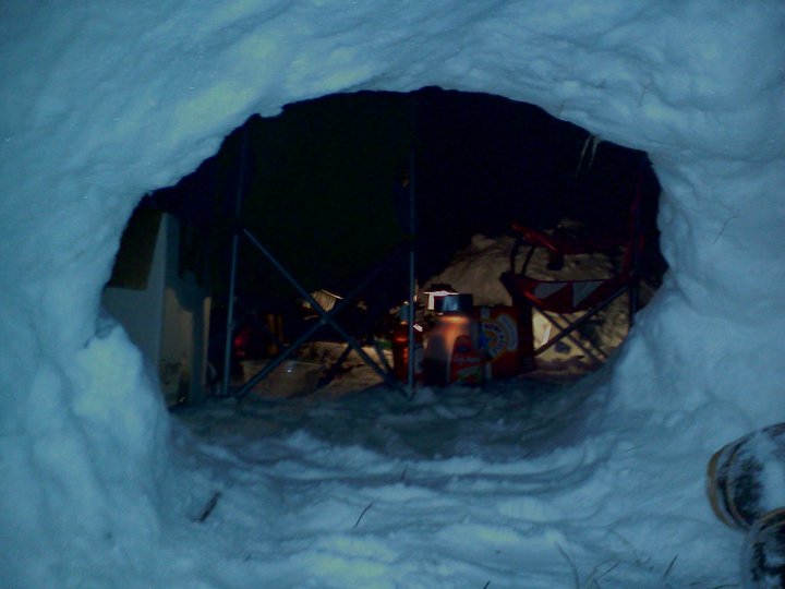
A view of the arctic campsite from within team Nate and James' igloo!
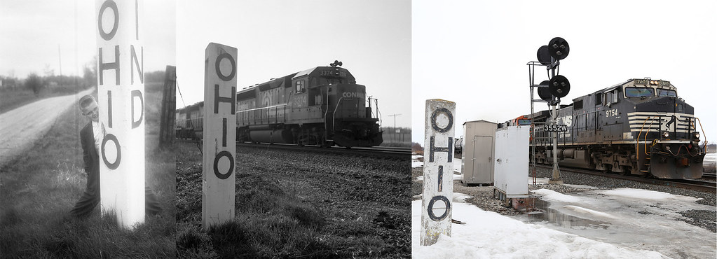
New York Central State Line Marker
41° 11' 15.8" N 84° 45' 4.4" W0.02014:04:21 14:37:4214:37:42IMG_4137
41° 11' 19.6" N 84° 44' 26.5" W0.02014:04:21 15:08:2915:08:29IMG_4165

A better shot of the Earth umbra rising over the Ohio clouds at sunset.

Wetlands, St Joe IN
41° 11' 50.8" N 84° 44' 19.8" W0.02014:04:21 14:58:0414:58:04IMG_4153

simply wheat

41° 12' 30.5" N 84° 43' 33.7" W0.02014:04:21 14:46:4914:46:49IMG_4142

41° 11' 4.7" N 84° 45' 6.1" W0.02014:04:21 14:34:4614:34:46IMG_4136
Storm Clouds, St Joe IN
41° 11' 13.2" N 84° 44' 17.9" W0.02014:04:21 15:11:1215:11:12IMG_4169
NS_Melbern-OH_21T-Derailment_071013-1
41° 11' 8.4" N 84° 44' 8.6" W0.02014:04:21 15:13:2315:13:23IMG_4175
41° 11' 12.9" N 84° 44' 16.7" W0.02014:04:21 15:11:2615:11:26IMG_4173
41° 11' 20.9" N 84° 45' 2.3" W0.02014:04:21 14:39:1614:39:16IMG_4140
41° 11' 13.1" N 84° 44' 17.1" W0.02014:04:21 15:11:2015:11:20IMG_4171

Fields of Western Ohio, Part II

41° 11' 13.3" N 84° 44' 17.2" W0.02014:04:21 15:11:1515:11:15IMG_4170

September in the Heartland
41° 11' 16.9" N 84° 44' 23.8" W0.02014:04:21 15:09:3315:09:33IMG_4166
Topographic Map of OH-2, Hicksville, OH, USA
Find elevation by address:

Places near OH-2, Hicksville, OH, USA:
7920 Cicero Rd
Hicksville, OH, USA
OH-49, Hicksville, OH, USA
Hicksville Township
Hicksville
Milford Township
6 Rd, Edgerton, OH, USA
Edgerton
Stafford Township
St. Joseph Township
Co Rd 75, Butler, IN, USA
Cecil
9 Rd, Bryan, OH, USA
IN-, St Joe, IN, USA
Sherwood
IN-37, Harlan, IN, USA
1 Rd, Edgerton, OH, USA
Rd, Cecil, OH, USA
Mud Creek Rd, Sherwood, OH, USA
3rd St, St Joe, IN, USA
Recent Searches:
- Elevation of Cavendish Rd, Harringay Ladder, London N4 1RR, UK
- Elevation of 1 Zion Park Blvd, Springdale, UT, USA
- Elevation of Ganderbal
- Elevation map of Konkan Division, Maharashtra, India
- Elevation of Netaji Nagar, Hallow Pul, Kurla, Mumbai, Maharashtra, India
- Elevation of Uralsk, Kazakhstan
- Elevation of 45- Kahana Dr, Honokaa, HI, USA
- Elevation of New Mexico 30, NM-30, Española, NM, USA
- Elevation of Santmyer Way, Charles Town, WV, USA
- Elevation of Riserva Naturale Lago di Montepulciano, Italy