Elevation of Ogata, Minamiakita District, Akita Prefecture, Japan
Location: Japan > Akita Prefecture > Minamiakita District >
Longitude: 139.960067
Latitude: 40.0177915
Elevation: -1m / -3feet
Barometric Pressure: 101KPa
Elevation Map:
Satellite Map:
Related Photos:
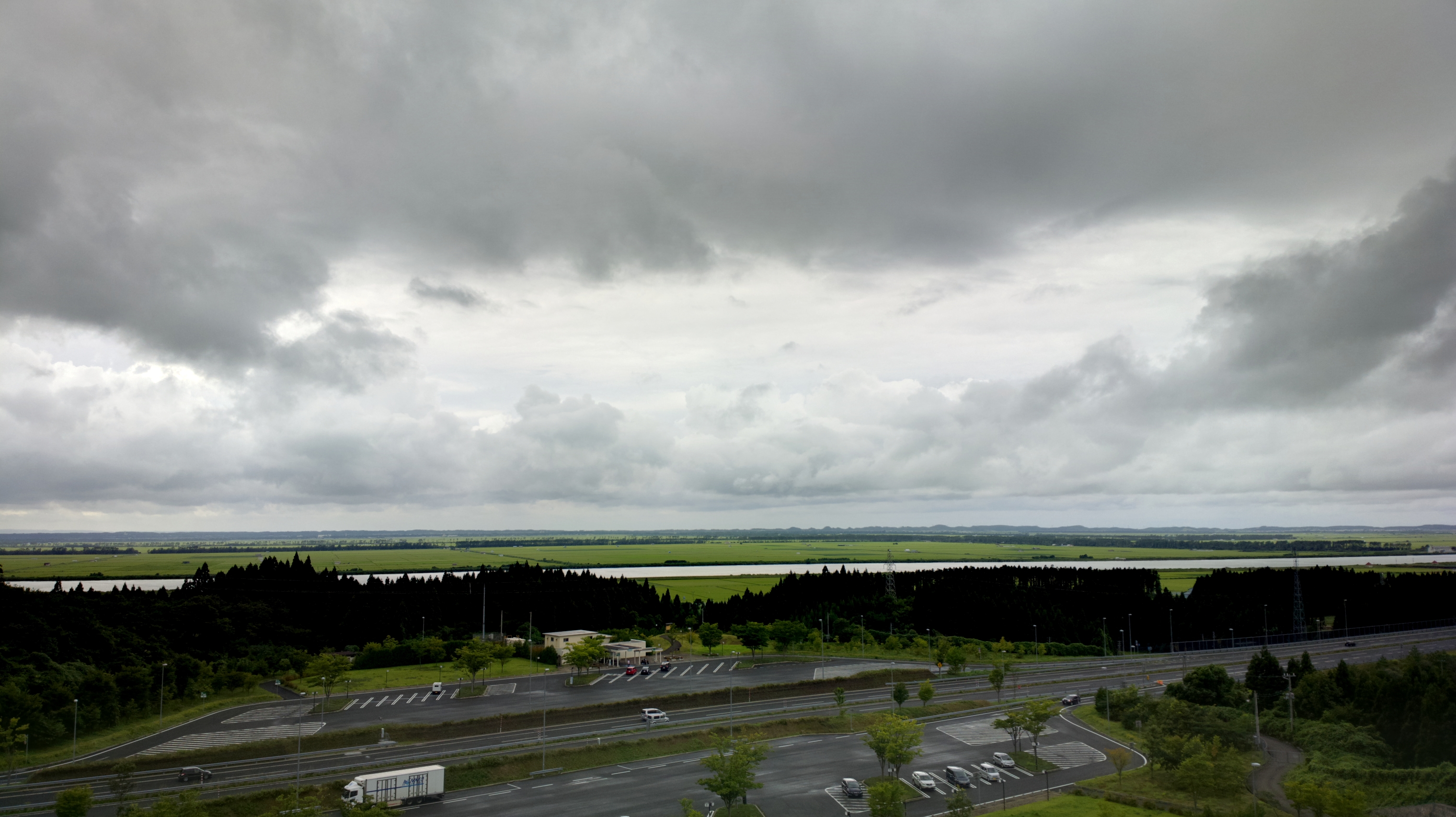
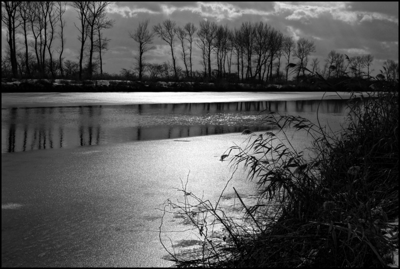
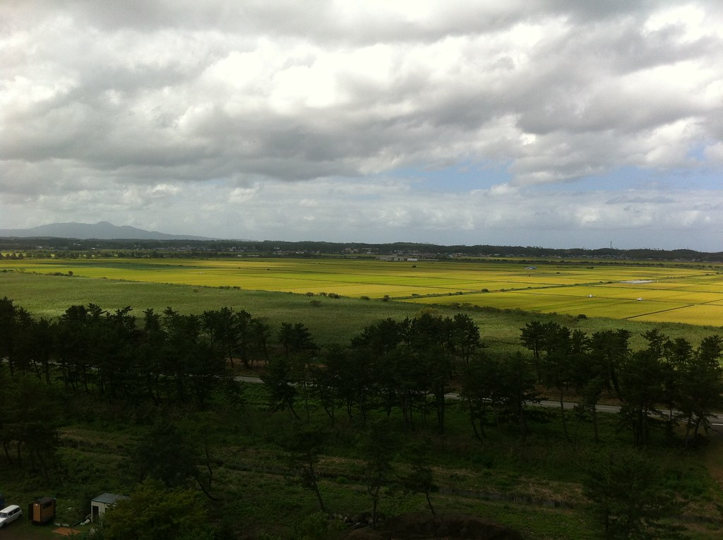
Hachirogata View HDR

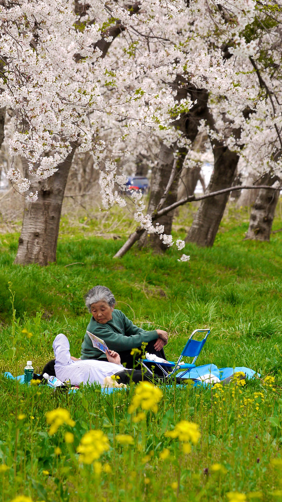
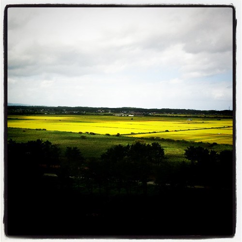
Sakura and Rapeseed Viewing at Ogata Akita - Japanese Lady amongst the flowers (SN.137_2012)
Sakura and Rapeseed Viewing at Ogata Akita - Hanamiing (SN.047_2012)

Sakura and Rapeseed Viewing at Ogata Akita - Babahera Ice Cream Seller by the Road (SN.167_2012)
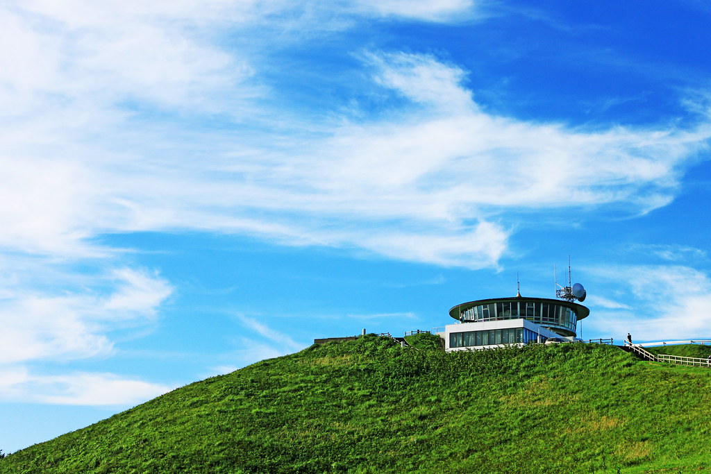
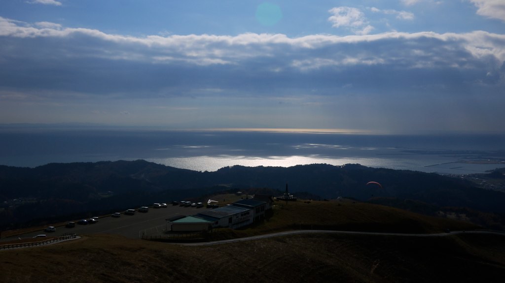
from the top of Mt.Ogata Fuji
Resort Shirakami
排水路・大潟村

shiny river
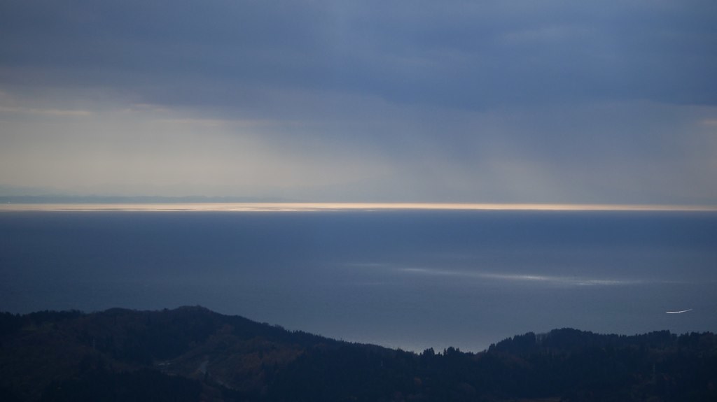
Tohoku #14

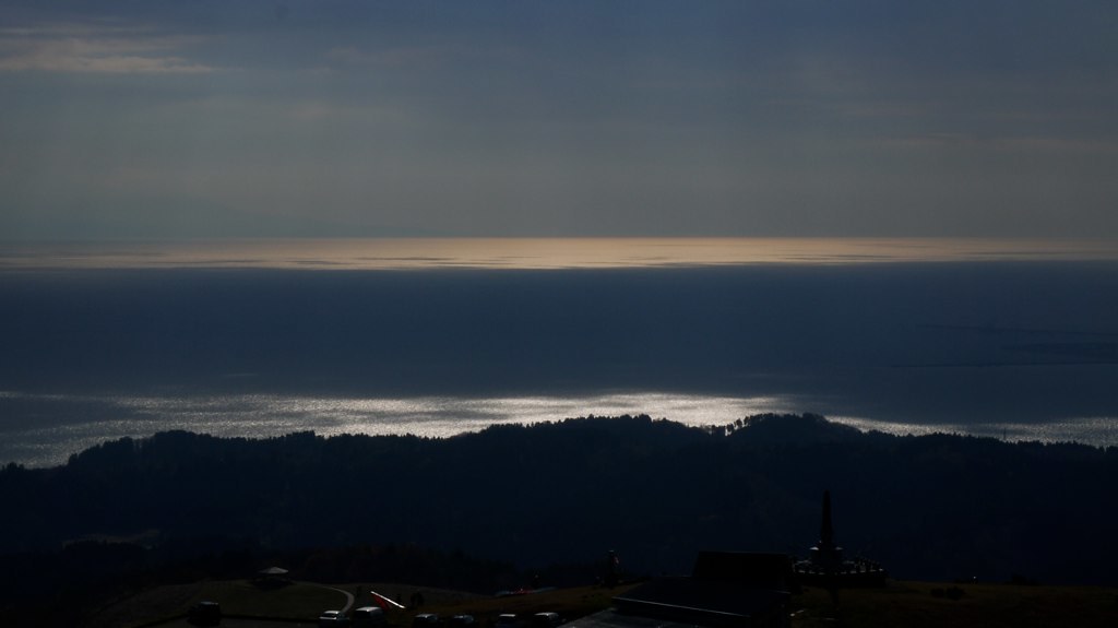
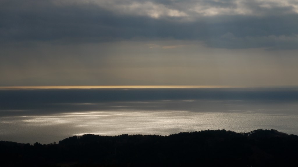
Long Exposure of the Sea of Japan facing the Oga Peninsula during late evening
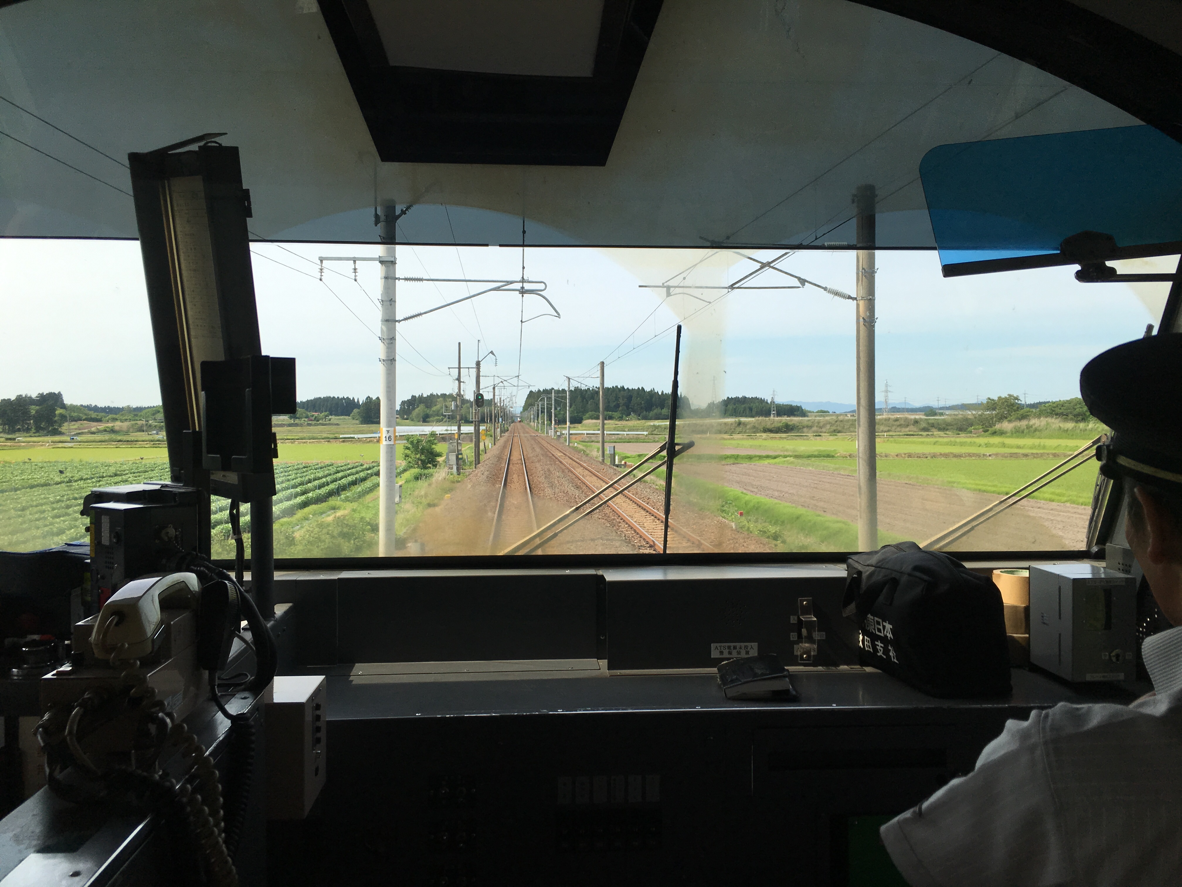
奥羽本線の車窓から
大潟村で一番高い建物からの眺め。ゼロから作ったんだからなあ。ホテルで金婚式のご夫婦とすれ違ったけど、結婚されてから入植して45年。 #大潟村あきまこまち
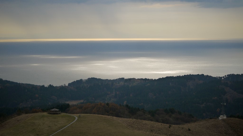
寒風山
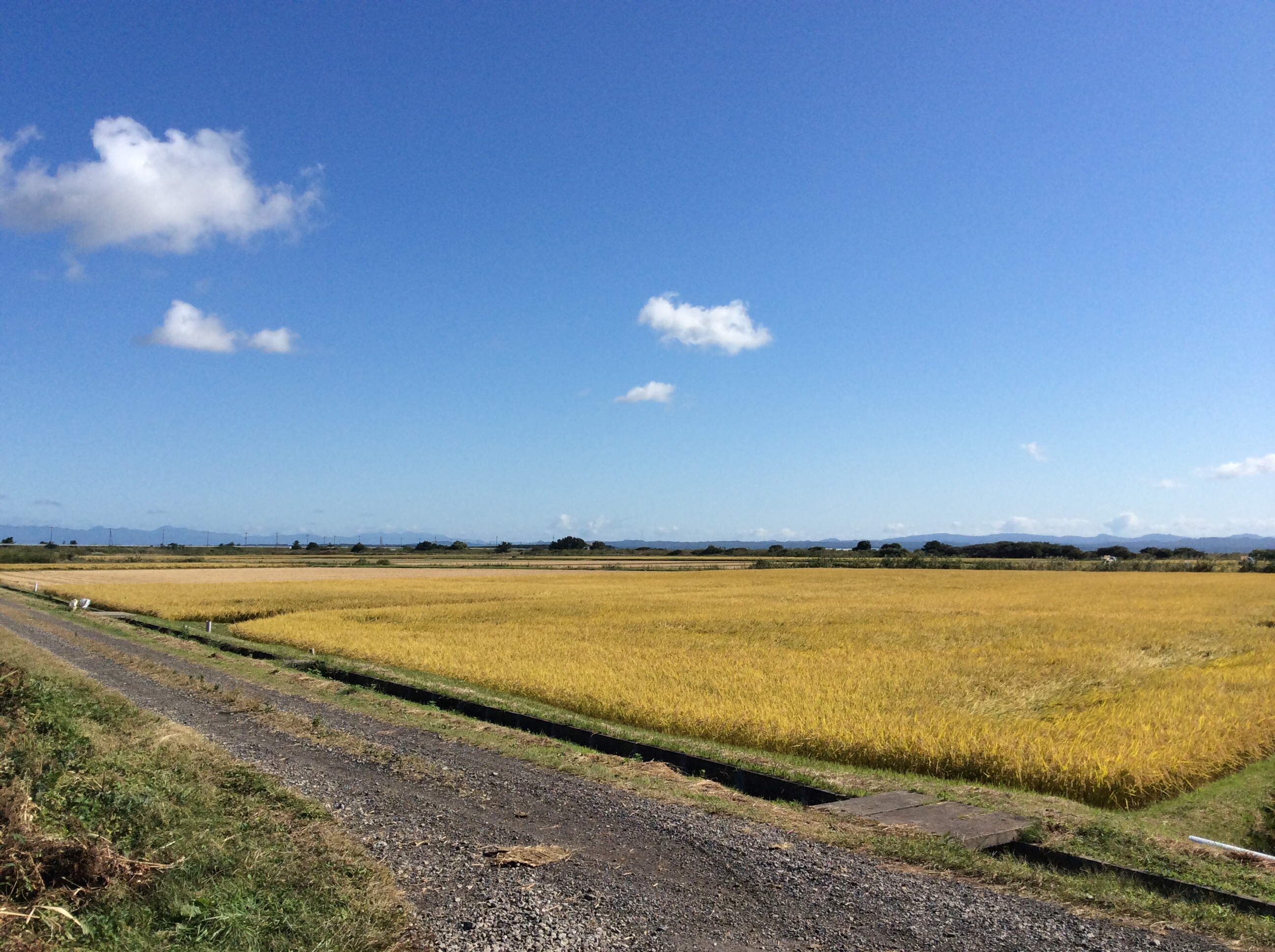
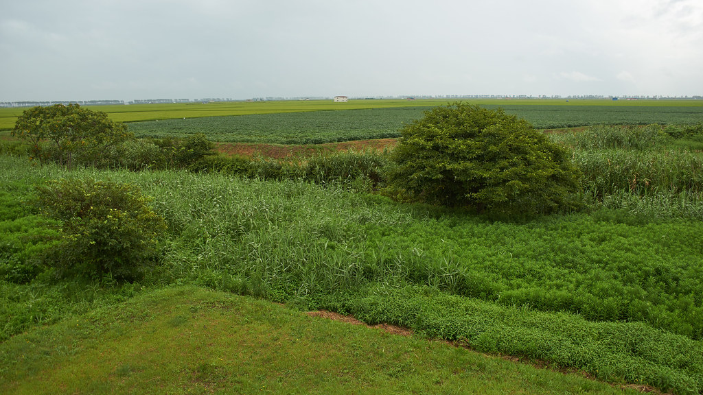
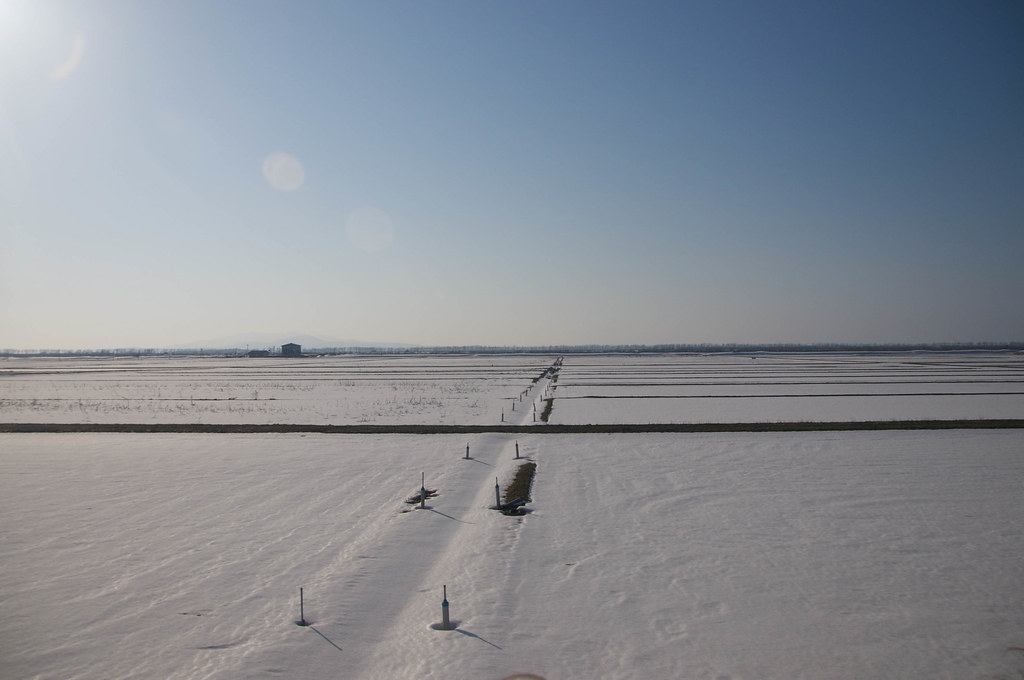
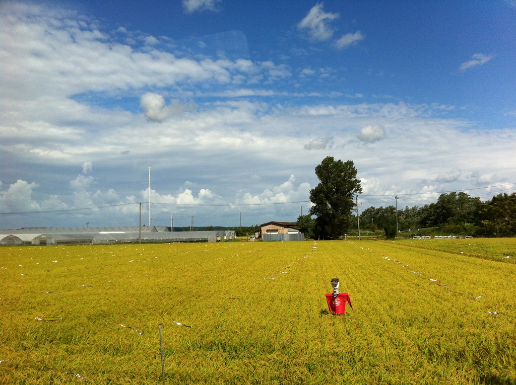
Ogata, a huge filled-in lake that is all farmland.
not windows wallpaper
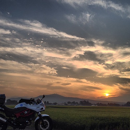
寒風山とバイクと盛りすぎな夕陽

秋風 寒風山
Ogata village
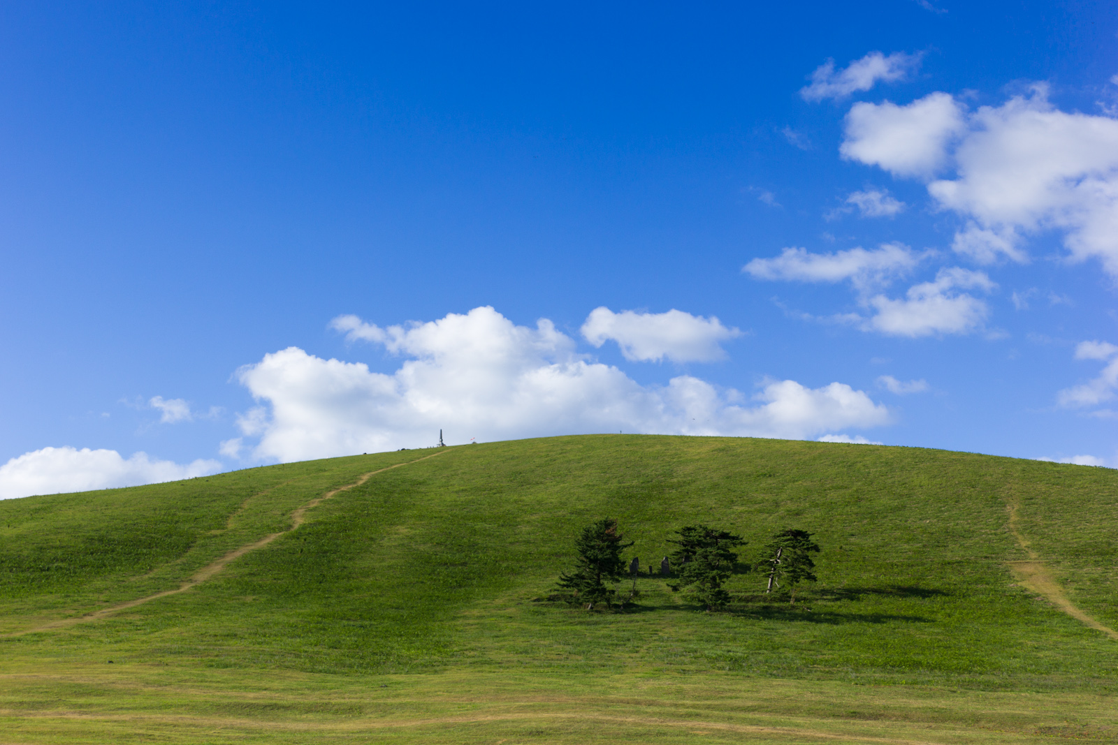
Mt.Kanpuu (寒風山)
Oga Peninsula (男鹿半島) - 062
Oga Peninsula (男鹿半島) - 088
Oga Peninsula (男鹿半島) - 038
Oga Peninsula (男鹿半島) - 061

Oga Peninsula (男鹿半島) - 067
Oga Peninsula (男鹿半島) - 024

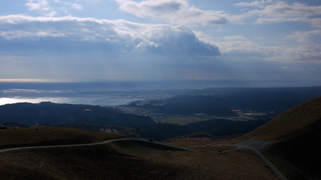
パラグライダー
Oga Peninsula (男鹿半島) - 001
Topographic Map of Ogata, Minamiakita District, Akita Prefecture, Japan
Find elevation by address:

Places in Ogata, Minamiakita District, Akita Prefecture, Japan:
Places near Ogata, Minamiakita District, Akita Prefecture, Japan:
3 Chome-1-30 Higashi, Ōgata-mura, Minamiakita-gun, Akita-ken -, Japan
Mitane
Kitsunezaki-6 Kumeoka Shinden, Mitane-chō, Yamamoto-gun, Akita-ken -, Japan
Miyahidai-8-9 Ukawa, Mitane-chō, Yamamoto-gun, Akita-ken -, Japan
Hachirōgata
Harahe-26 Tennō, Katagami-shi, Akita-ken -, Japan
Shinden Ienoshita- Masaka, Hachirōgata-machi, Minamiakita-gun, Akita-ken -, Japan
Hachirogata
Dōden-32 Oganakanakamaguchi, Oga-shi, Akita-ken -, Japan
Ikawa
Moriyamashita- Koike, Gojōme-machi, Minamiakita-gun, Akita-ken -, Japan
Gojome
Katagami
Oga
Ogawanakamichi-91-2 Shōwaōkubo, Katagami-shi, Akita-ken -, Japan
Ashizawa- Funagawaminato Funagawa, Oga-shi, Akita-ken -, Japan
Minamiakita District
Minamidai-28 Hattaōkura, Ikawa-machi, Minamiakita-gun, Akita-ken -, Japan
Noshiro
Furukawashiki-42 Fukikoshi, Noshiro-shi, Akita-ken -, Japan
Recent Searches:
- Elevation of Congressional Dr, Stevensville, MD, USA
- Elevation of Bellview Rd, McLean, VA, USA
- Elevation of Stage Island Rd, Chatham, MA, USA
- Elevation of Shibuya Scramble Crossing, 21 Udagawacho, Shibuya City, Tokyo -, Japan
- Elevation of Jadagoniai, Kaunas District Municipality, Lithuania
- Elevation of Pagonija rock, Kranto 7-oji g. 8"N, Kaunas, Lithuania
- Elevation of Co Rd 87, Jamestown, CO, USA
- Elevation of Tenjo, Cundinamarca, Colombia
- Elevation of Côte-des-Neiges, Montreal, QC H4A 3J6, Canada
- Elevation of Bobcat Dr, Helena, MT, USA