Elevation of Oderaue, Germany
Location: Germany > Brandenburg > Märkisch-oderland >
Longitude: 14.1824529
Latitude: 52.7910231
Elevation: 3m / 10feet
Barometric Pressure: 101KPa
Elevation Map:
Satellite Map:
Related Photos:
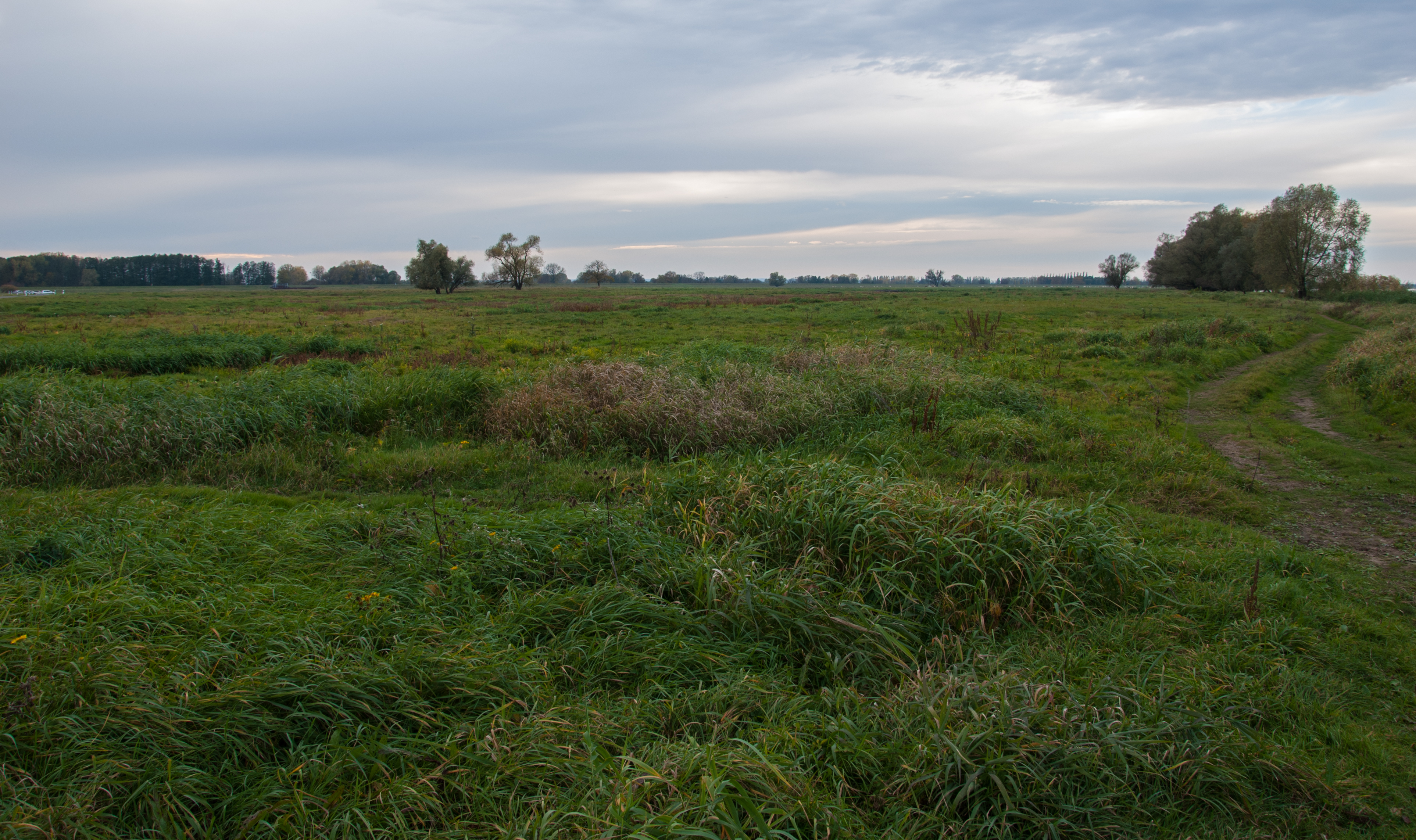
Oderbruch bei Güstebieser Loose
Topographic Map of Oderaue, Germany
Find elevation by address:

Places near Oderaue, Germany:
Wriezen
Altgaul 25, Wriezen, Germany
Altgaul
Altranft
Neulewin
Güstebieser Loose 20, Neulewin, Germany
Sonnenburger Weg 1, Bad Freienwalde (Oder), Germany
Altlewin 16, Neutrebbin, Germany
Güstebieser Loose
Altlewin
Neutrebbin
Altfriedland
Ringenwalder Dorfstraße 6, Märkische Höhe, Germany
Märkische Höhe
Karlsdorf 13, Neuhardenberg, Germany
Märkisch-oderland
Ringenwalde
Neuhardenberg
Schöneberg
Schöneberg
Recent Searches:
- Elevation of Corso Fratelli Cairoli, 35, Macerata MC, Italy
- Elevation of Tallevast Rd, Sarasota, FL, USA
- Elevation of 4th St E, Sonoma, CA, USA
- Elevation of Black Hollow Rd, Pennsdale, PA, USA
- Elevation of Oakland Ave, Williamsport, PA, USA
- Elevation of Pedrógão Grande, Portugal
- Elevation of Klee Dr, Martinsburg, WV, USA
- Elevation of Via Roma, Pieranica CR, Italy
- Elevation of Tavkvetili Mountain, Georgia
- Elevation of Hartfords Bluff Cir, Mt Pleasant, SC, USA