Elevation of Oberpierscheid, Germany
Location: Germany > Rhineland-palatinate >
Longitude: 6.3718488
Latitude: 50.0648582
Elevation: 520m / 1706feet
Barometric Pressure: 95KPa
Elevation Map:
Satellite Map:
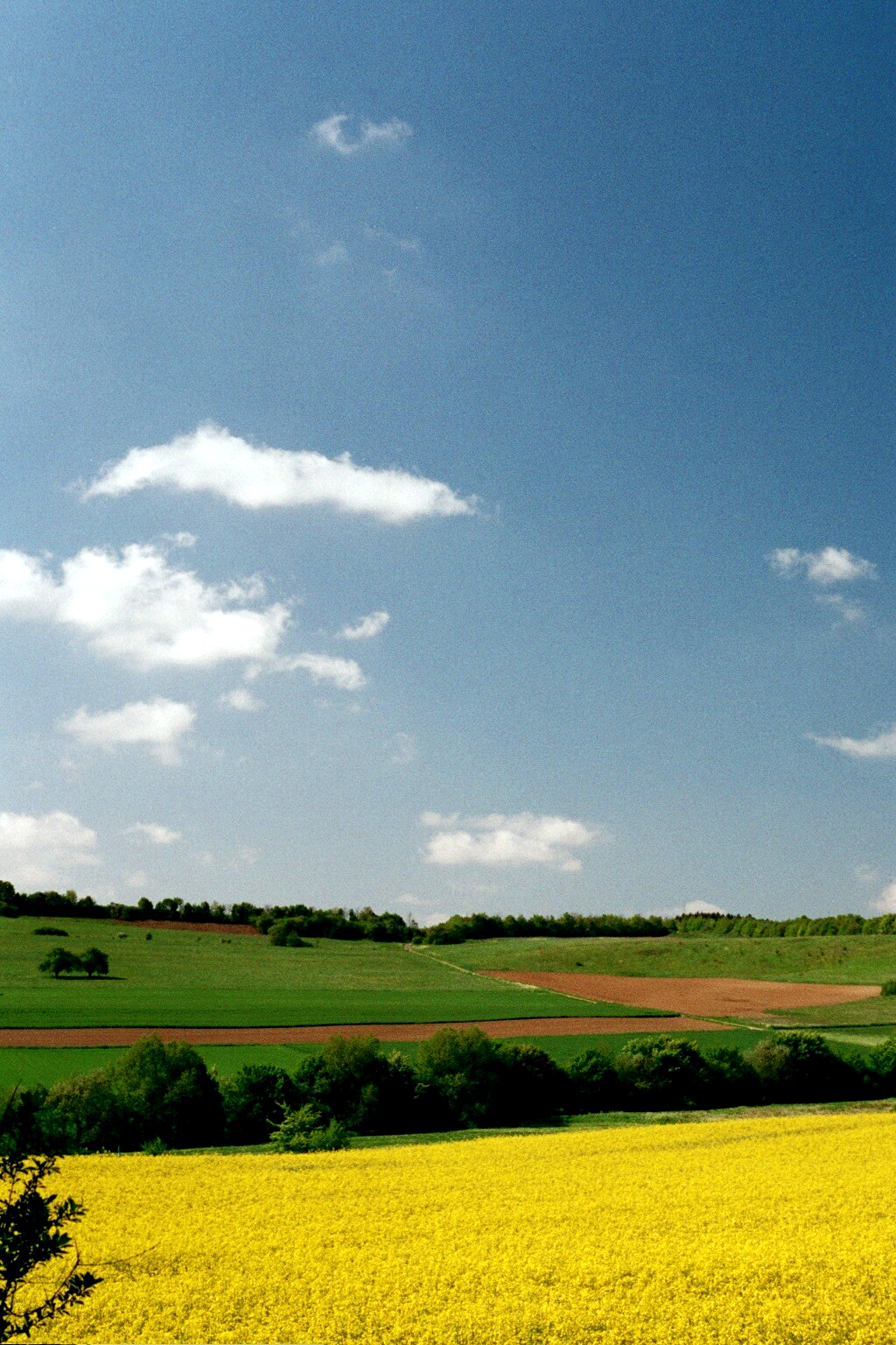
Related Photos:
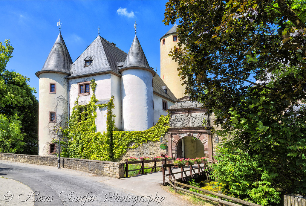
Burg Rittersdorf
Starting dawn

Stausee Biersdorf

Anflug auf Bitburg
Memories of a Former Use
OPEL Corsa de location et joli paysage
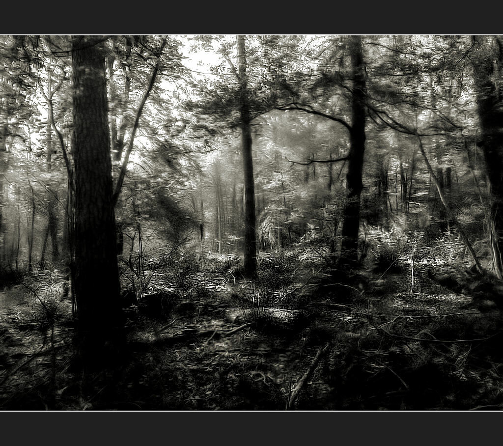
Cold autumn forest

Landscape real and abstract

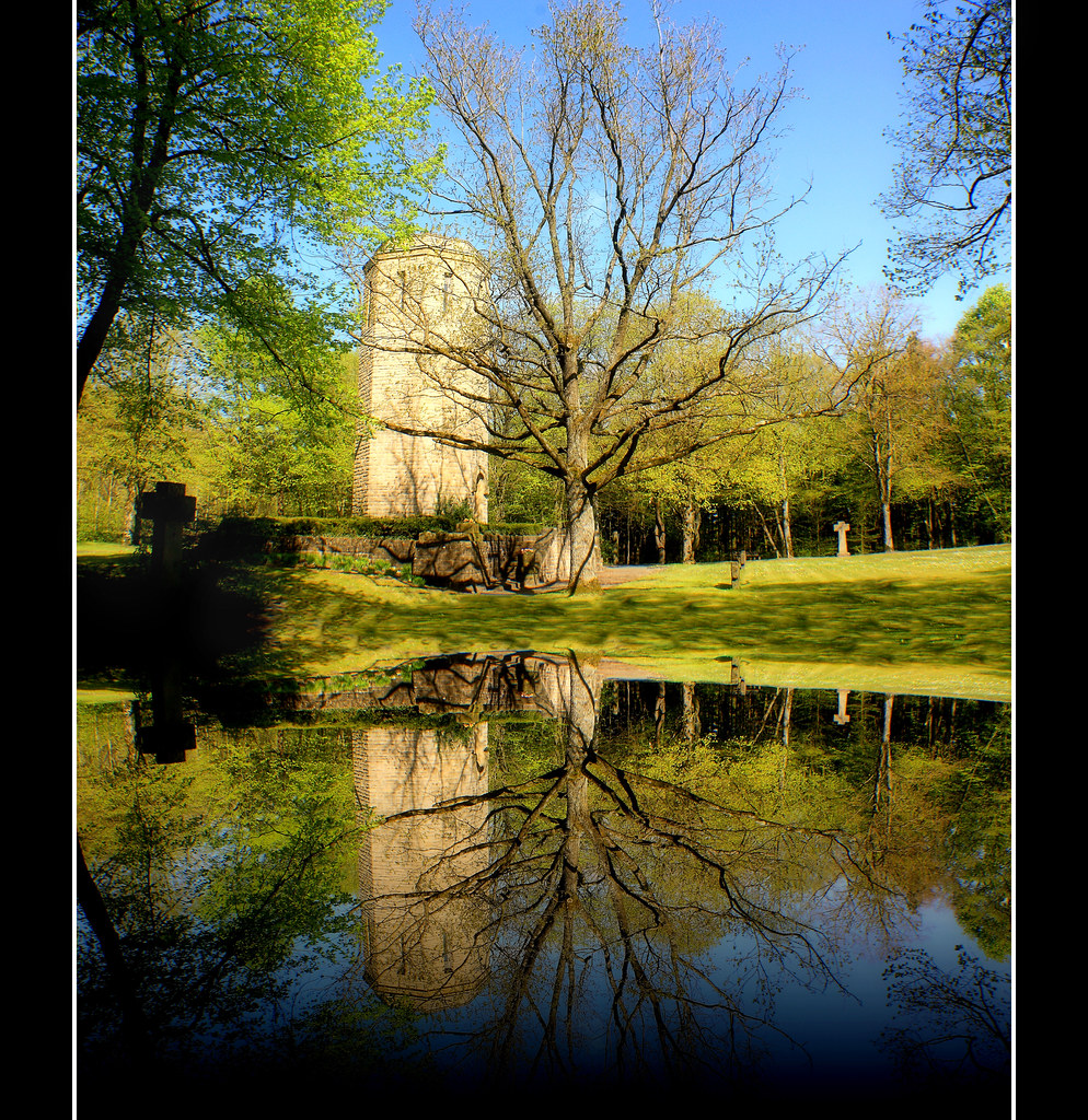
Der Baum
Park Landscape - Explore :)
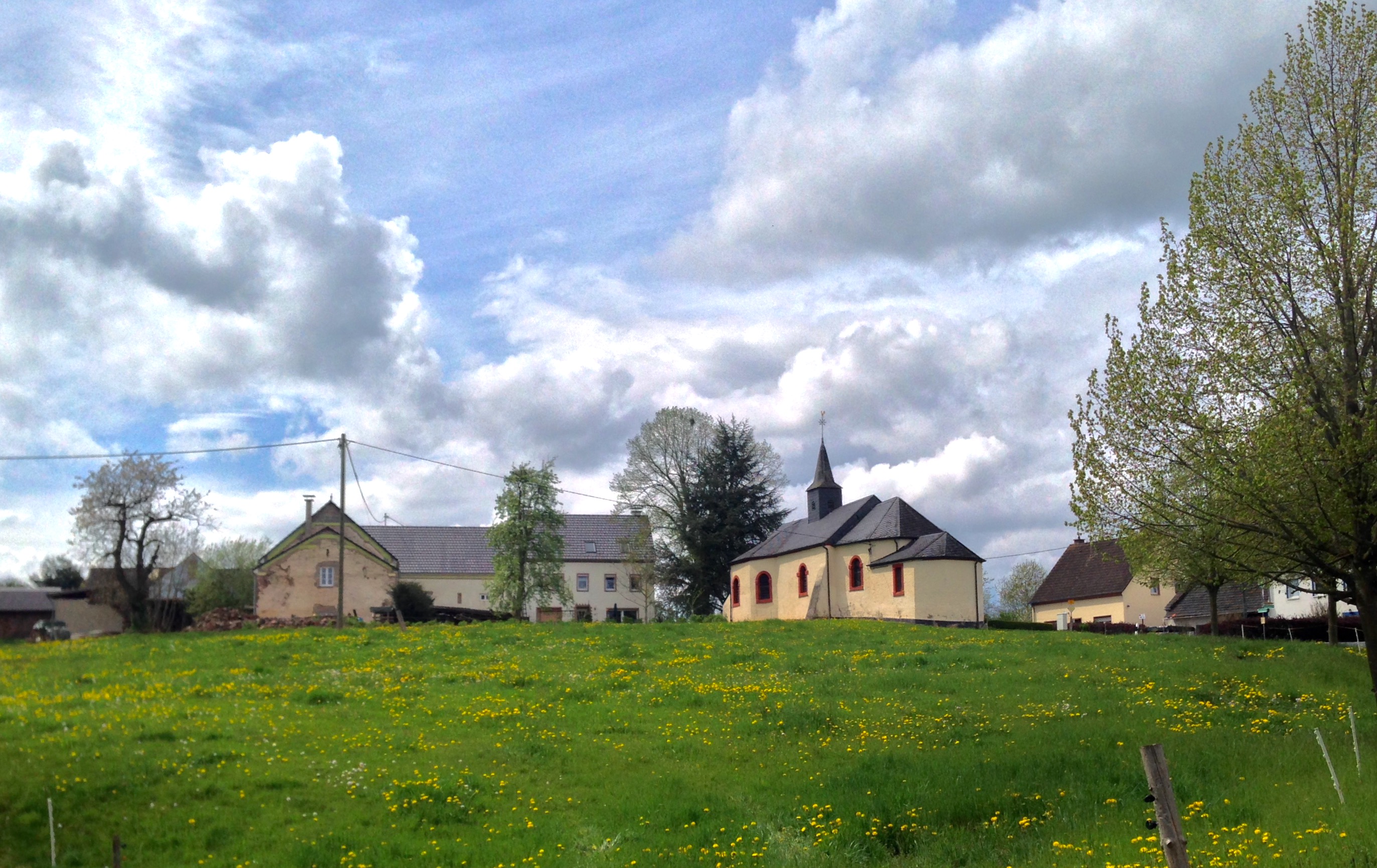
Filialkirche Sankt Martin von Niedergeckler

Late Sunset

Lonely tree
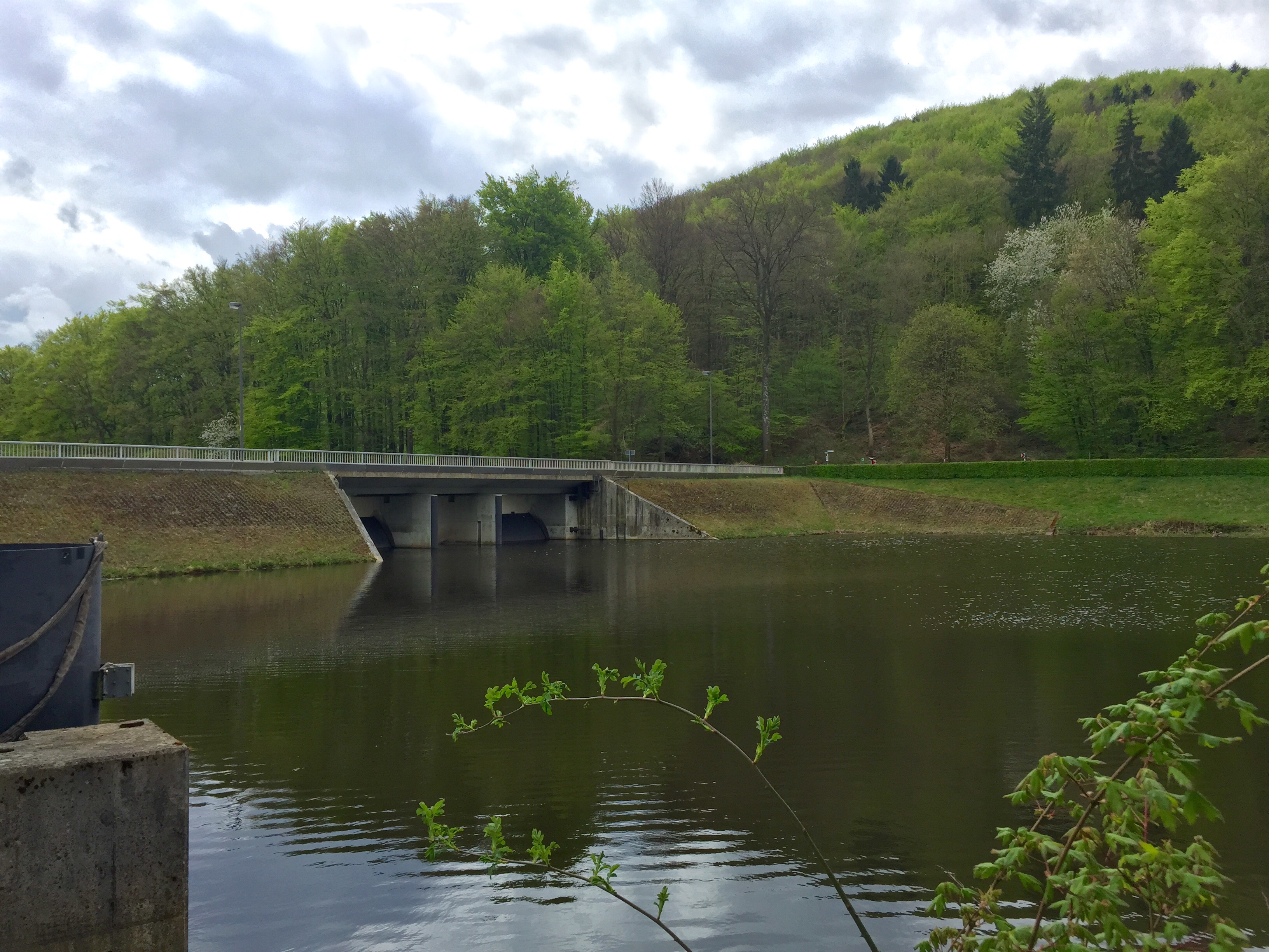
Stausee Bitburg

Autumn at the Lake
Falling Behind

Sortenversuche DLR Bitburg

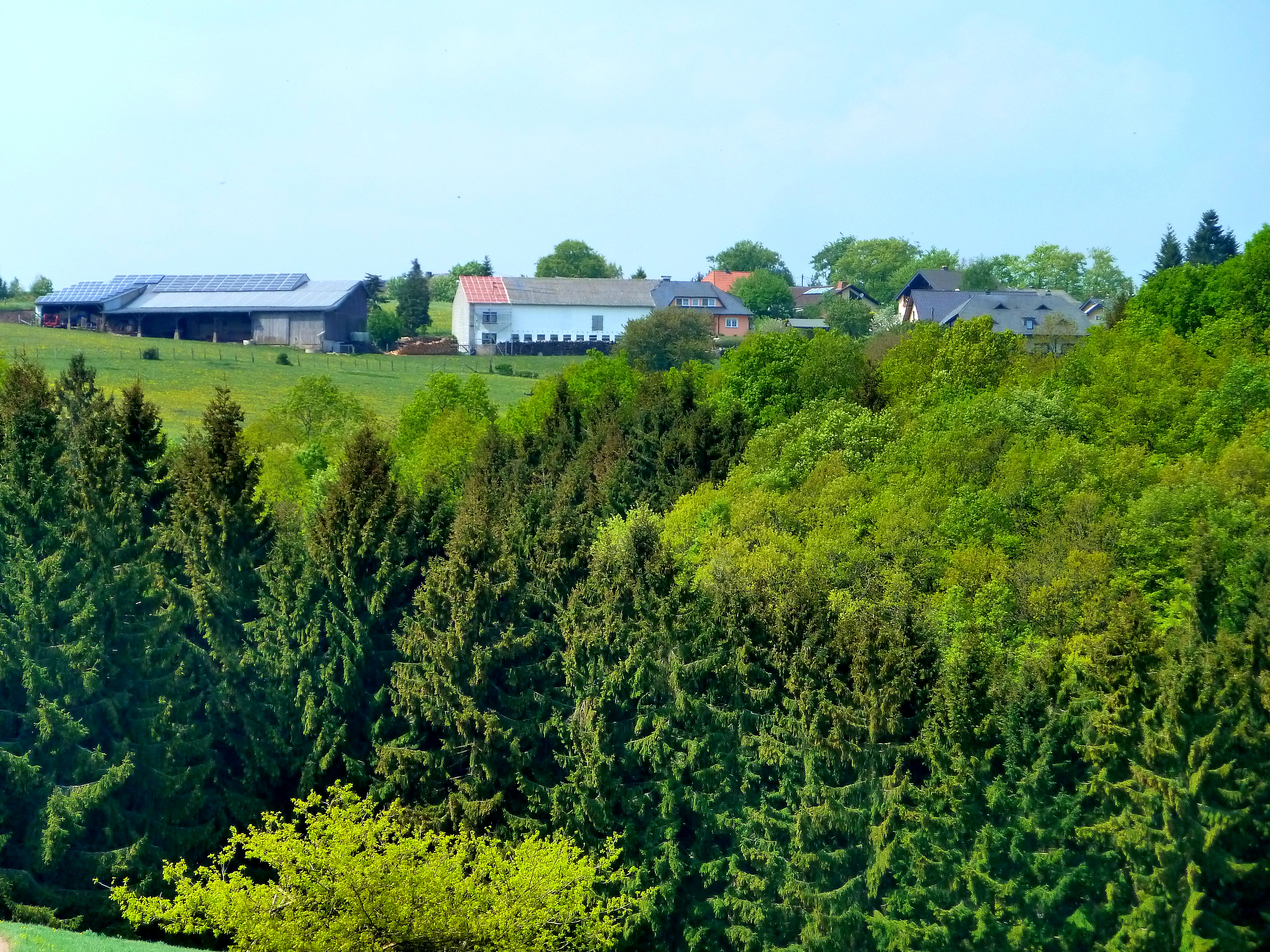
Eifel: Enztal Radweg

Leben & Tod
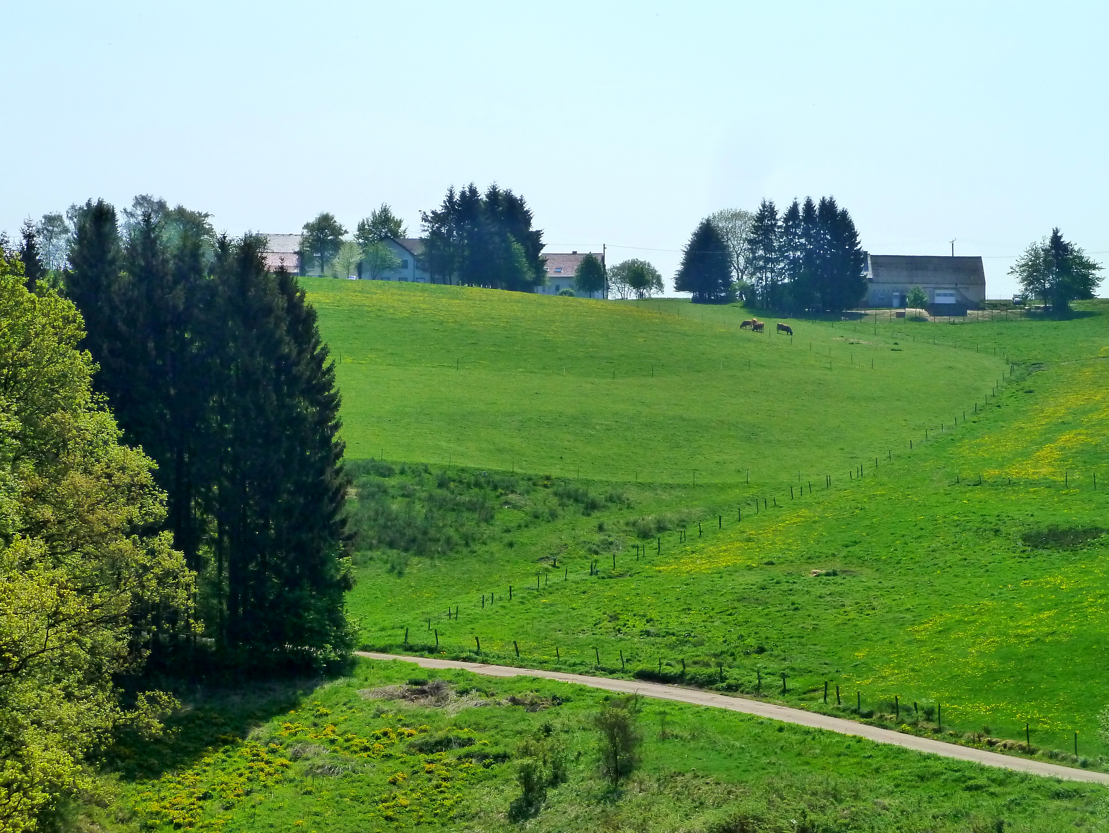
Eifel: Enztal Radweg
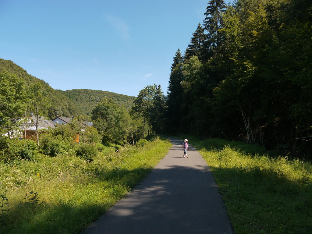
Eifel: Enztal Radweg
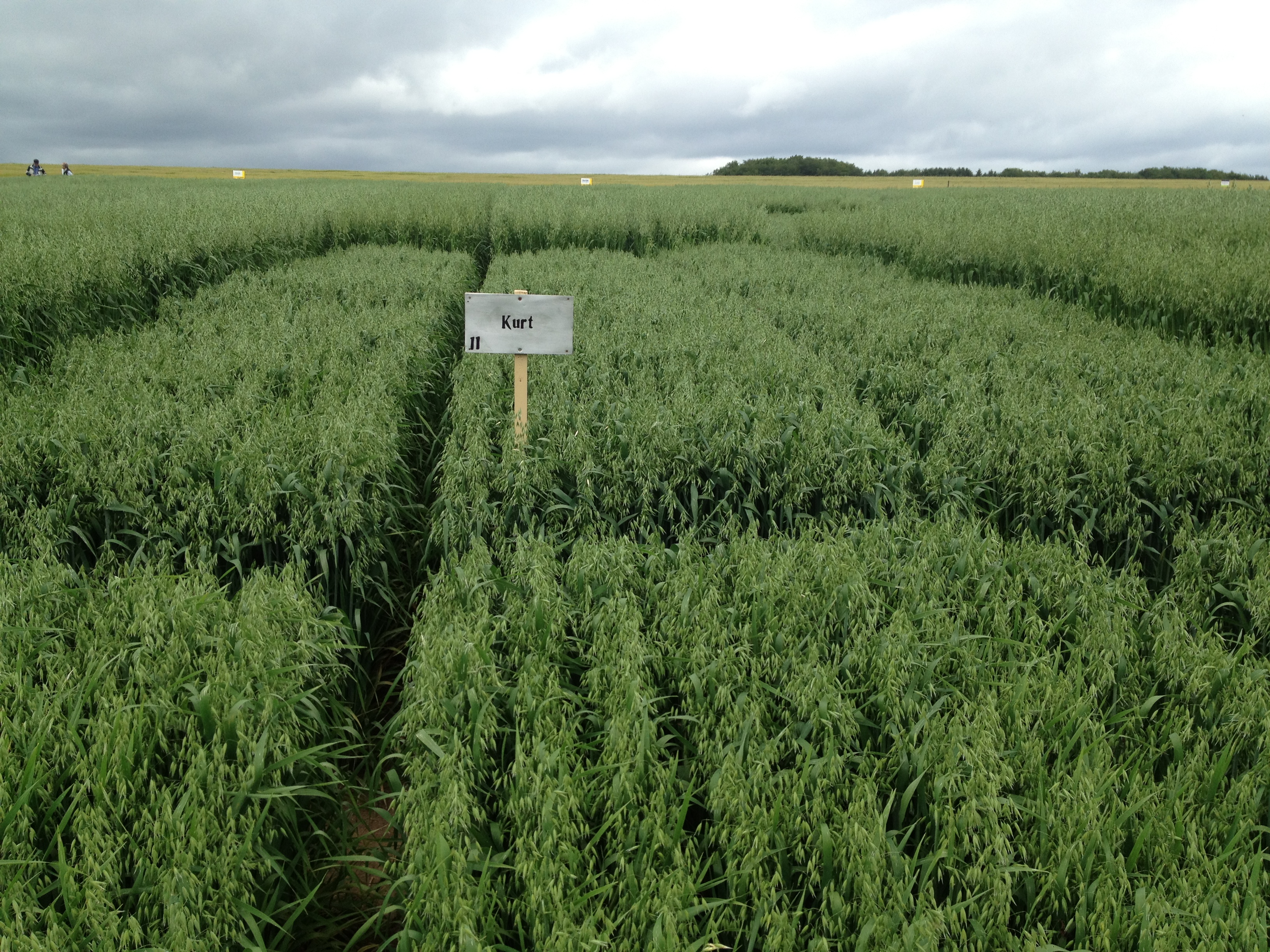
Versuchsanlage SH Kurt

Lazing on the sunday afternoon\Лениво отдыхая в полдень воскресенья\
From Villa Otrang, looking W into the Eifel
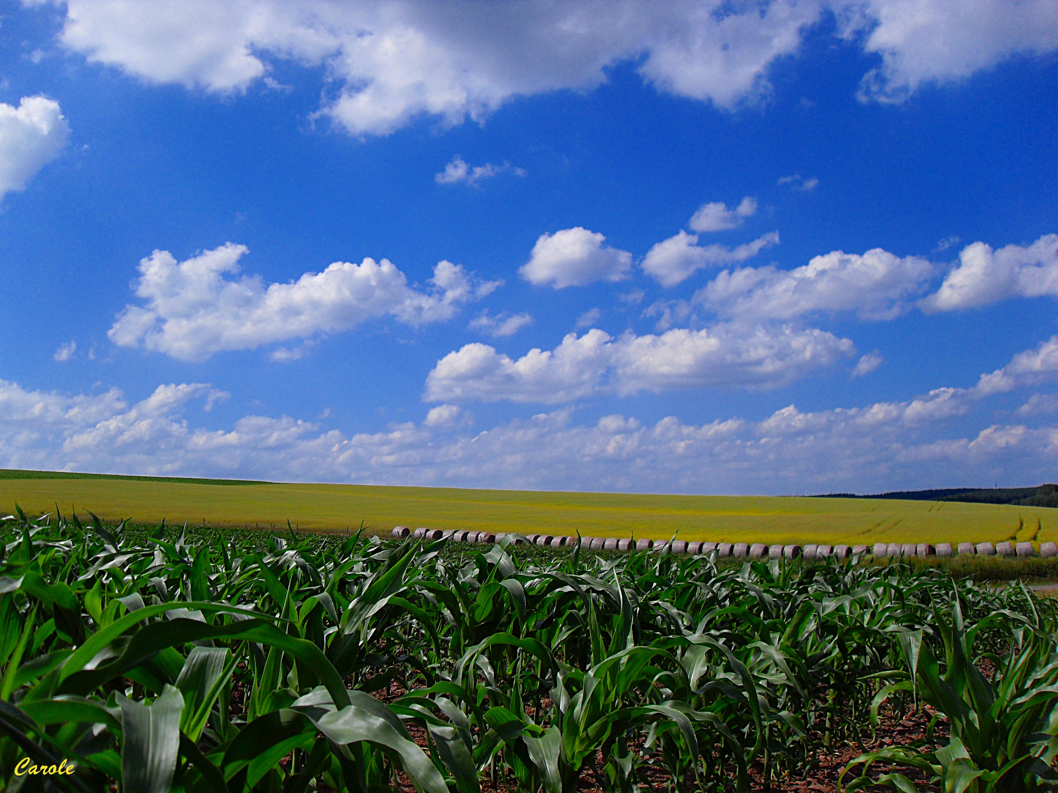
Maïs, colza et boules de foin

Around tulips

Wandelweekend Vianden (22 - 23 oktober 2011)-53
Topographic Map of Oberpierscheid, Germany
Find elevation by address:

Places in Oberpierscheid, Germany:
Places near Oberpierscheid, Germany:
Röllersdorf
Luppertsseifen 1, Oberpierscheid, Germany
Bitburg-prüm
2a
Berkoth
4a
Oberweiler
Lünebach
Auw bei Prüm, Germany
Plascheid
Hauptstraße 13, Plascheid, Germany
Prümer Str. 30
Schloßheck
St.-Vither-Straße 1, Orlenbach, Germany
Orlenbach
Hauptstraße 5, Emmelbaum, Germany
Emmelbaum
Mettendorf
42a
Rothumseifen 2, Jucken, Germany
Recent Searches:
- Elevation of Elwyn Dr, Roanoke Rapids, NC, USA
- Elevation of Congressional Dr, Stevensville, MD, USA
- Elevation of Bellview Rd, McLean, VA, USA
- Elevation of Stage Island Rd, Chatham, MA, USA
- Elevation of Shibuya Scramble Crossing, 21 Udagawacho, Shibuya City, Tokyo -, Japan
- Elevation of Jadagoniai, Kaunas District Municipality, Lithuania
- Elevation of Pagonija rock, Kranto 7-oji g. 8"N, Kaunas, Lithuania
- Elevation of Co Rd 87, Jamestown, CO, USA
- Elevation of Tenjo, Cundinamarca, Colombia
- Elevation of Côte-des-Neiges, Montreal, QC H4A 3J6, Canada