Elevation of Oakridge Way, Defuniak Springs, FL, USA
Location: United States > Florida > Walton County > Defuniak Springs >
Longitude: -86.303793
Latitude: 30.747698
Elevation: 82m / 269feet
Barometric Pressure: 100KPa
Elevation Map:
Satellite Map:
Related Photos:
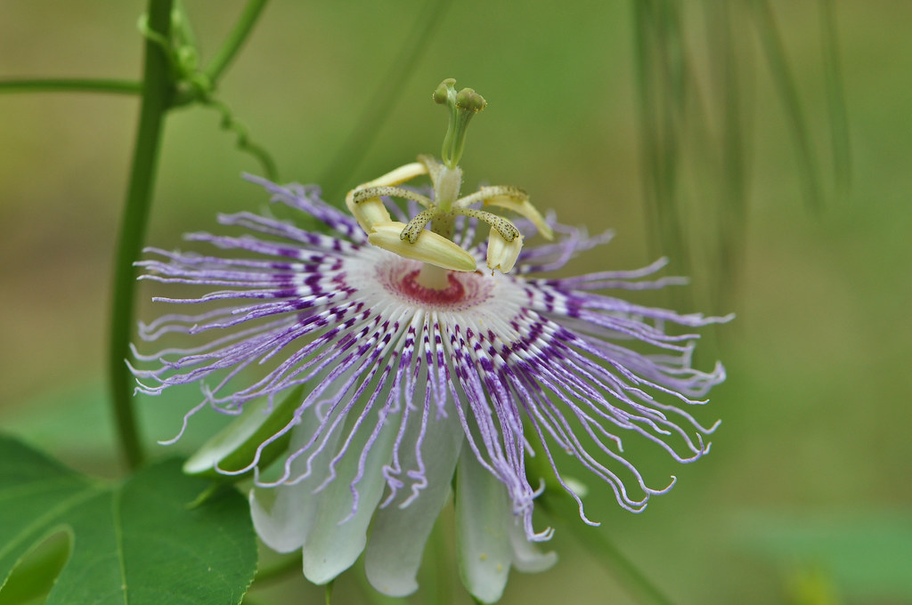
Passion Flower (Passiflora incarnata)

Seaside Chapel

Eastern Tiger Swallowtail (Papilio glaucus)

Gloriosa superba

meet the beetles!

Barbed Wire Fence

Grace Community Church, Mossy Head, Florida

Photo Stream-988

Photo Stream-989

Camera Roll-275

Photo Stream-984

Photo Stream-985

All Imported-1071

Camera Roll-273

Photo Stream-987

Camera Roll-272

Photo Stream-986

Camera Roll-270

Camera Roll-271

Camera Roll-269

Photo Stream-921
Topographic Map of Oakridge Way, Defuniak Springs, FL, USA
Find elevation by address:

Places near Oakridge Way, Defuniak Springs, FL, USA:
US-90, Defuniak Springs, FL, USA
Mossy Head
1394 Hinote Rd
90 Boy Scout Rd, Defuniak Springs, FL, USA
92 Tim Boland Rd
92 Tim Boland Rd
5351 Stallion Dr
Range Road 207
US-90, Crestview, FL, USA
Miles Martin Rd, Defuniak Springs, FL, USA
541 Mountain Valley Rd
Senterfitt Rd, Defuniak Springs, FL, USA
4100 Big Buck Trail
689 Twin Lakes Dr
1581 Walton Rd
3980 Jace Dr
864 Lakeview Dr
306 Steele Church Rd
626 Foreman Rd
Burgess Rd, Defuniak Springs, FL, USA
Recent Searches:
- Elevation of Congressional Dr, Stevensville, MD, USA
- Elevation of Bellview Rd, McLean, VA, USA
- Elevation of Stage Island Rd, Chatham, MA, USA
- Elevation of Shibuya Scramble Crossing, 21 Udagawacho, Shibuya City, Tokyo -, Japan
- Elevation of Jadagoniai, Kaunas District Municipality, Lithuania
- Elevation of Pagonija rock, Kranto 7-oji g. 8"N, Kaunas, Lithuania
- Elevation of Co Rd 87, Jamestown, CO, USA
- Elevation of Tenjo, Cundinamarca, Colombia
- Elevation of Côte-des-Neiges, Montreal, QC H4A 3J6, Canada
- Elevation of Bobcat Dr, Helena, MT, USA