Elevation of Oakford, IL, USA
Location: United States > Illinois > Menard County >
Longitude: -89.963169
Latitude: 40.1025463
Elevation: 151m / 495feet
Barometric Pressure: 100KPa
Elevation Map:
Satellite Map:
Related Photos:

Pollution of Light
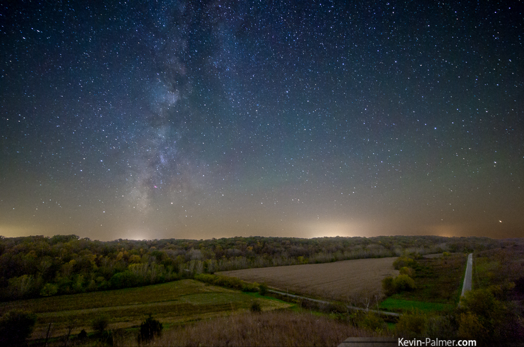
Hill Prairie Milky Way
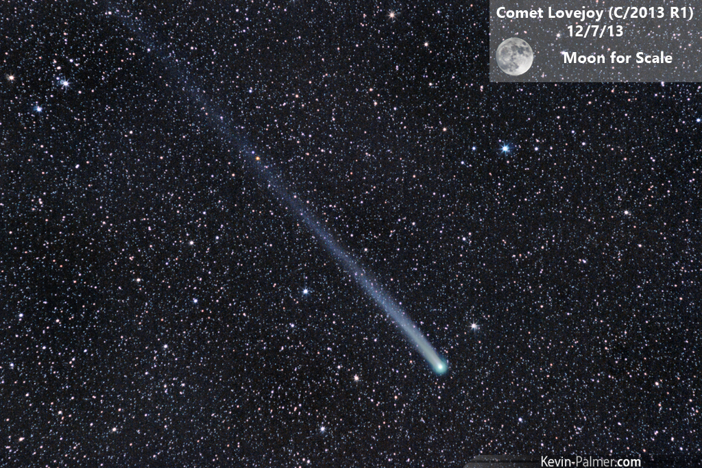
Comet Lovejoy (C/2013 R1)
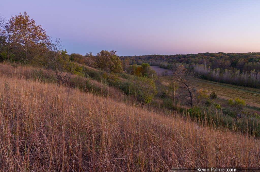
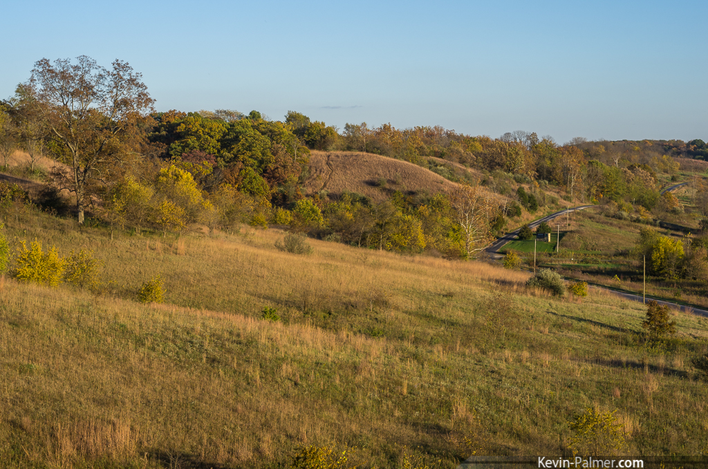
Hill Prairie South
IMG_4928 internet

Chandlerville Hillside
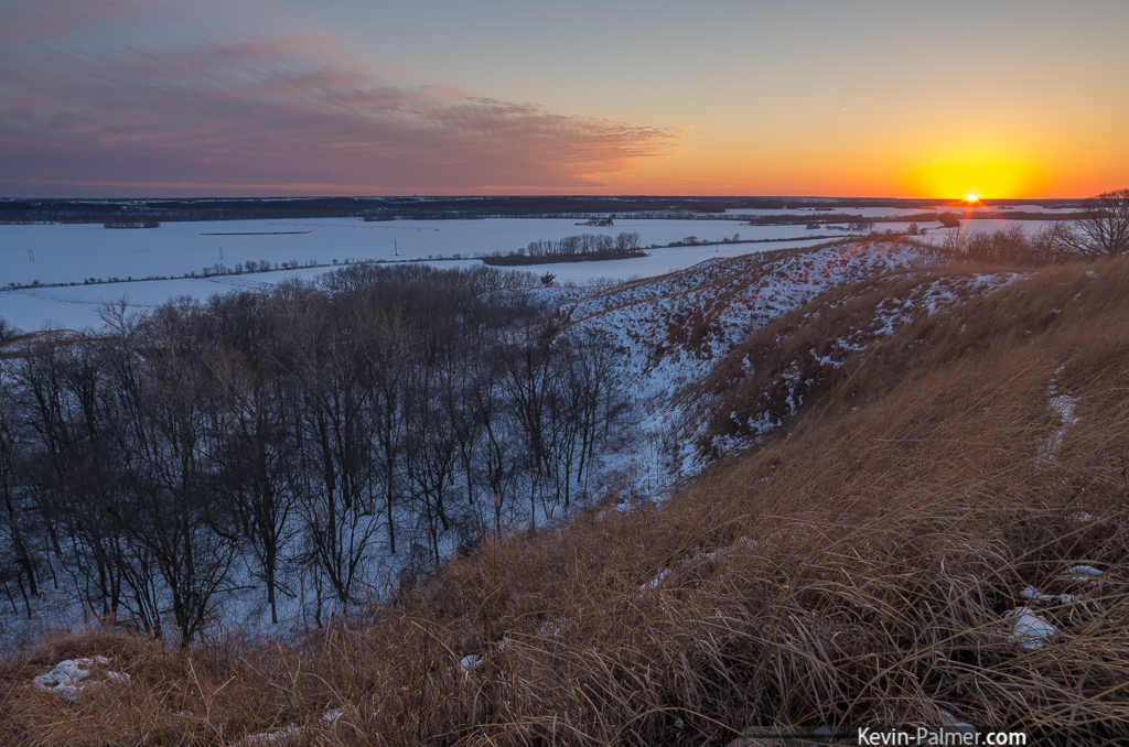
Sunset at Revis Hill

Planetary Trio
Hill Prairie Dusk
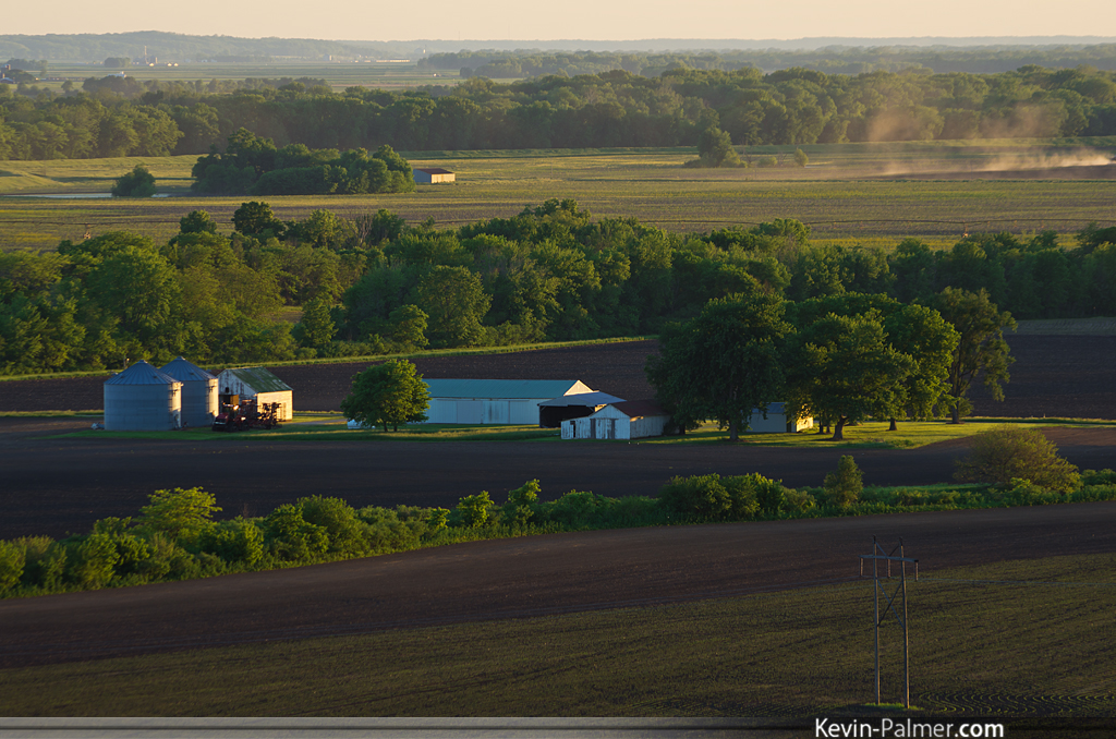
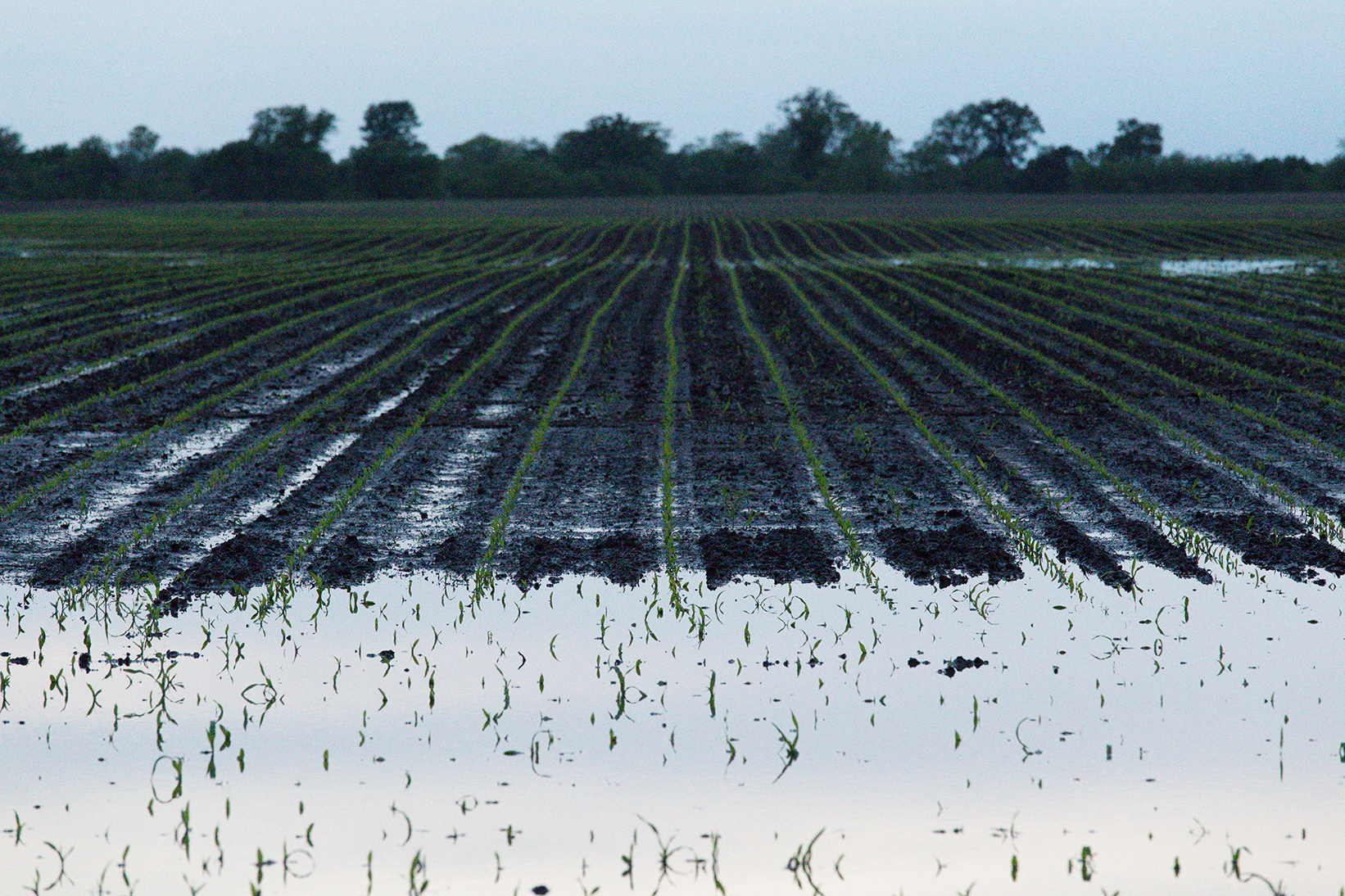
Evening at the Farm

After Sunset at Revis Hill
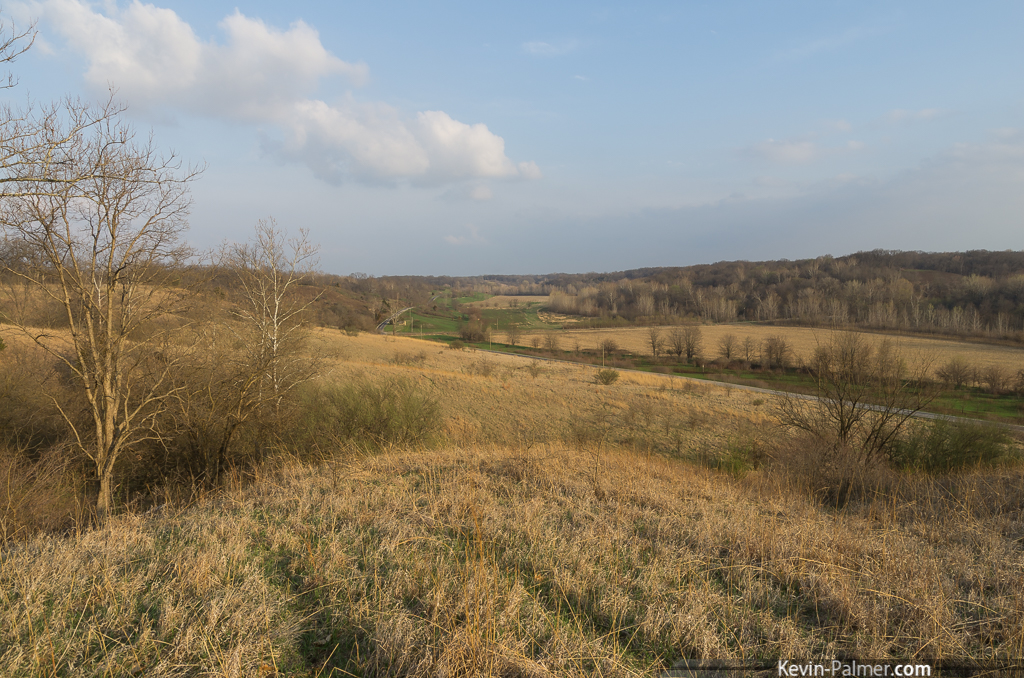
morning view

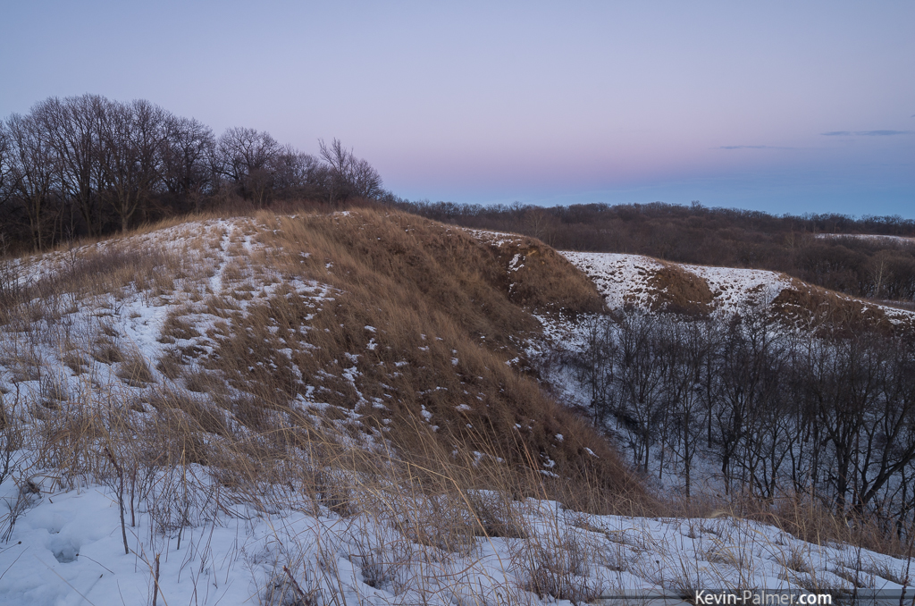
Revis Hill Prairie View
Jim Edgar Bluffs

evening view

Mom's View
Above Creek Road

Valley Fog
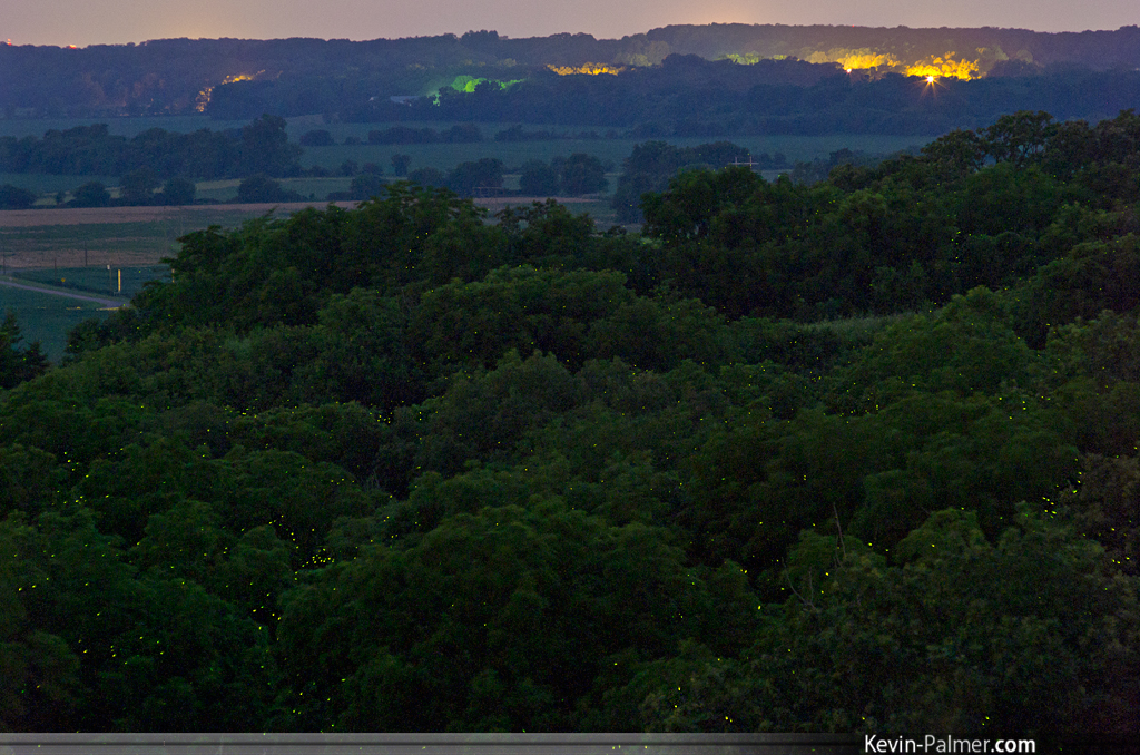
Green Lights
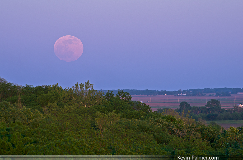
Giant Pink Moon
May Moonrise
Topographic Map of Oakford, IL, USA
Find elevation by address:

Places in Oakford, IL, USA:
Places near Oakford, IL, USA:
White Crossing Rd, Oakford, IL, USA
Church St, Petersburg, IL, USA
Kilbourne Township
E Co Rd N, Havana, IL, USA
IL-97, Petersburg, IL, USA
Mason County
Mason County
Mason County
Mason County
208 Lincoln Berry Rd
Petersburg
Tallula
Main St, Tallula, IL, USA
Lincolns New Salem Road
Menard County
Camaron Ave, Petersburg, IL, USA
Sherman Township
Easton
E Main St, Easton, IL, USA
Lewisburg
Recent Searches:
- Elevation of Congressional Dr, Stevensville, MD, USA
- Elevation of Bellview Rd, McLean, VA, USA
- Elevation of Stage Island Rd, Chatham, MA, USA
- Elevation of Shibuya Scramble Crossing, 21 Udagawacho, Shibuya City, Tokyo -, Japan
- Elevation of Jadagoniai, Kaunas District Municipality, Lithuania
- Elevation of Pagonija rock, Kranto 7-oji g. 8"N, Kaunas, Lithuania
- Elevation of Co Rd 87, Jamestown, CO, USA
- Elevation of Tenjo, Cundinamarca, Colombia
- Elevation of Côte-des-Neiges, Montreal, QC H4A 3J6, Canada
- Elevation of Bobcat Dr, Helena, MT, USA