Elevation of Oak Tree Rd, Westminster, MD, USA
Longitude: -77.018238
Latitude: 39.467798
Elevation: 232m / 761feet
Barometric Pressure: 99KPa
Elevation Map:
Satellite Map:
Related Photos:

Sykesville Railroad Tunnel

2021 03-02 1425-4 MMID SD40-2-3449, 3451 WB UBEG-ST, Westminster, MD

2018 12-12 1245 MMID GP38-3-2060 W/B UBST New Windsor, MD

The Infamous Tornado Photo [08.14.12]

"Velvet Cathedrals"

old farmhouse
Westminster, Maryland

Blurry Mary

Winter Stream

Mary sunset

Mary sunset

Sykesville, MD Former B & P Interlocking Tower

2020-12-15 0918 MMID 2060 on UBEG Medford, MD

Wood Duck (Male)

Deep Thoughts

pastoral - explore 2-2/18

Pretty tree

2021 03-02 1425-1 MMID SD40-2-3449, 3451 W/B UBEG/ST, Westminster, MD

MMID 304 on UBEG, Westminster, MD

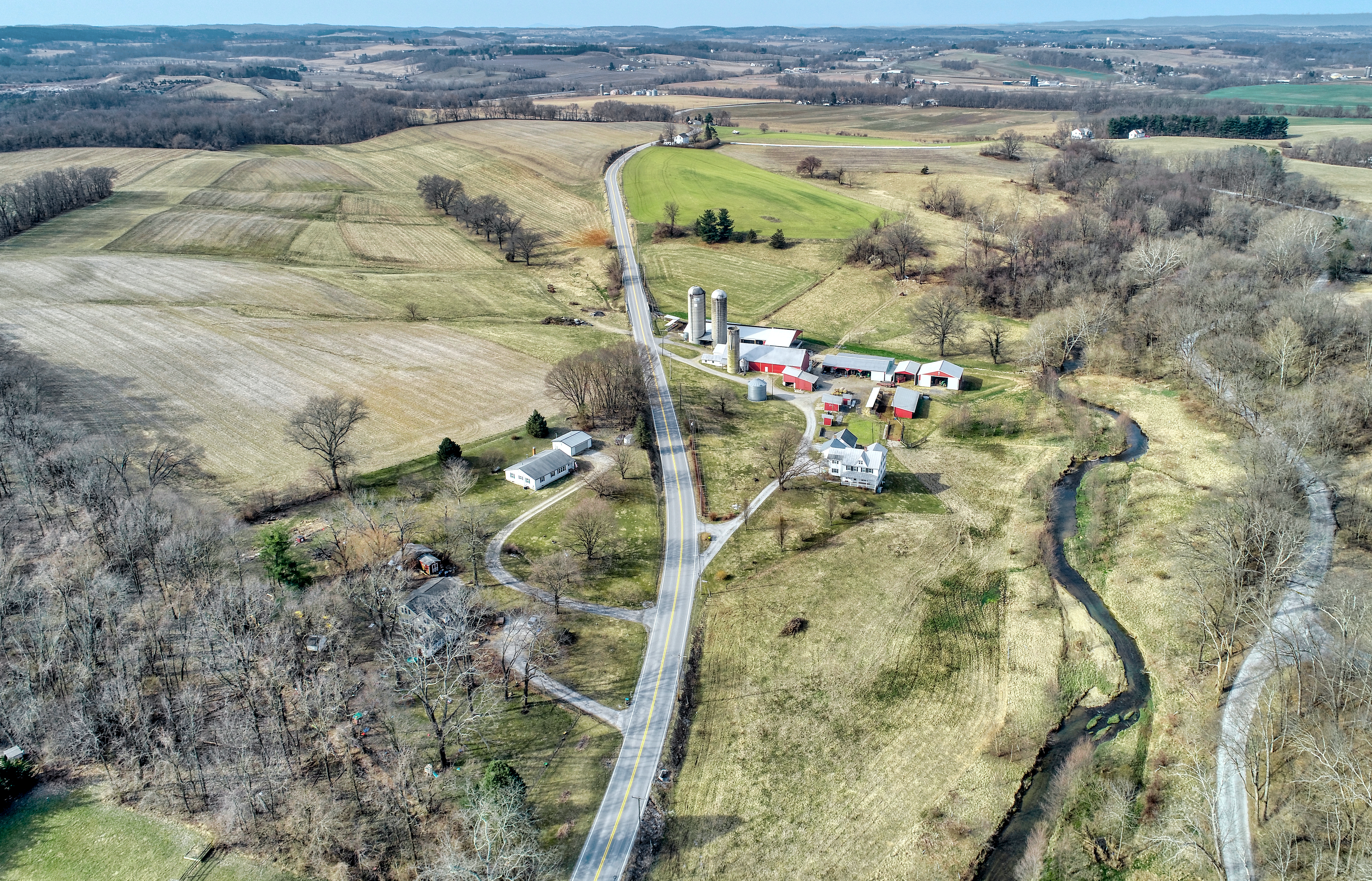
A view of Uniountown Rd. Carroll Co., MD.

Thunderstorm Sunset

Patapsco River Flooding

The great new technology!

Horned Lark habitat

New Windsor Sunrise

Hampstead-Mexico Nights

"return to skull mountain"

After the storm.

Christmas tree

This is What We Do

pure morning

Sunstreaked Autumn

Spillway, Liberty Reservoir Dam

Liberty Reservoir

MMID SD40-2-3451 W/B UBEG at Avondale, MD.

the straight and narrow

Morning Drive 2

i stand alone

Streamchasing with friends

Morning Shadows

what happens when the sun goes down
Topographic Map of Oak Tree Rd, Westminster, MD, USA
Find elevation by address:

Places near Oak Tree Rd, Westminster, MD, USA:
Bear Branch Rd, Westminster, MD, USA
Arthur Shipley Rd, Westminster, MD, USA
4410 Bartholow Rd
Old Liberty Rd, Sykesville, MD, USA
Washington Rd, Westminster, MD, USA
Stone House Village Ct, Sykesville, MD, USA
Woodbine Rd, Sykesville, MD, USA
200 Mozart Dr
Ridge Rd, Westminster, MD, USA
Piney Run Ct, Sykesville, MD, USA
9, Franklin
Herbert Ave, Westminster, MD, USA
1714 Ridge Rd
1880 Dennings Rd
Old Washington Rd, Sykesville, MD, USA
Bluebird Dr, Westminster, MD, USA
McHenry Dr, Mt Airy, MD, USA
Topkapi Dr, Westminster, MD, USA
Smiley Dr, New Windsor, MD, USA
14, Berrett
Recent Searches:
- Elevation of Groblershoop, South Africa
- Elevation of Power Generation Enterprises | Industrial Diesel Generators, Oak Ave, Canyon Country, CA, USA
- Elevation of Chesaw Rd, Oroville, WA, USA
- Elevation of N, Mt Pleasant, UT, USA
- Elevation of 6 Rue Jules Ferry, Beausoleil, France
- Elevation of Sattva Horizon, 4JC6+G9P, Vinayak Nagar, Kattigenahalli, Bengaluru, Karnataka, India
- Elevation of Great Brook Sports, Gold Star Hwy, Groton, CT, USA
- Elevation of 10 Mountain Laurels Dr, Nashua, NH, USA
- Elevation of 16 Gilboa Ln, Nashua, NH, USA
- Elevation of Laurel Rd, Townsend, TN, USA