Elevation of Nykroppavägen 48, 34 Filipstad, Sweden
Location: Sweden > Varmland County > Filipstad >
Longitude: 14.1794037
Latitude: 59.7028629
Elevation: 144m / 472feet
Barometric Pressure: 100KPa
Elevation Map:
Satellite Map:
Related Photos:
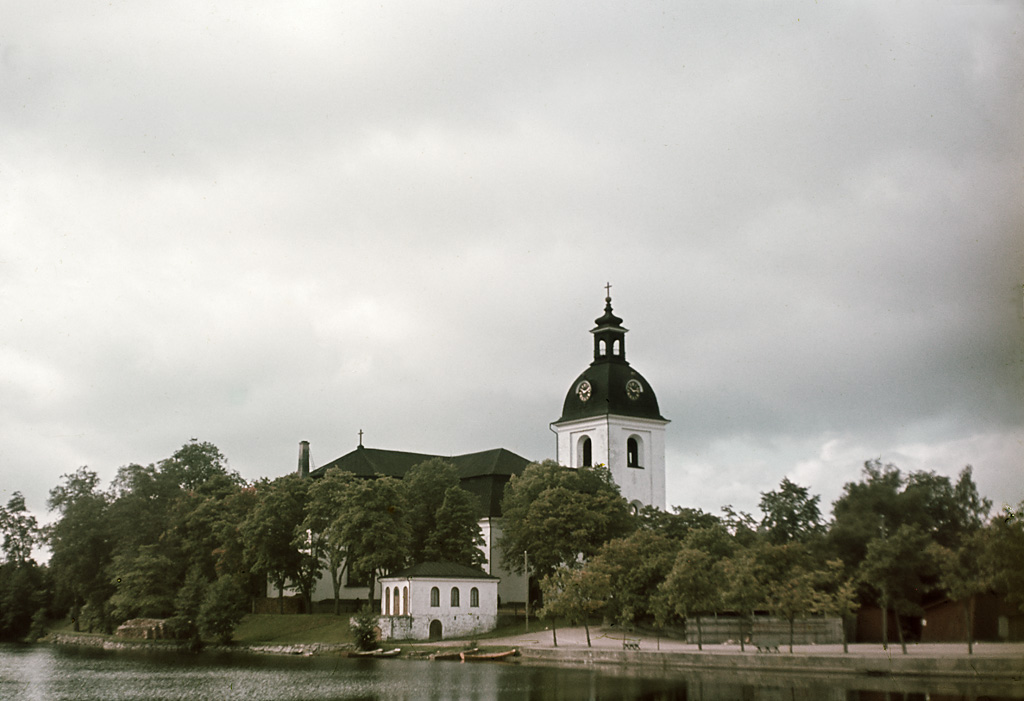
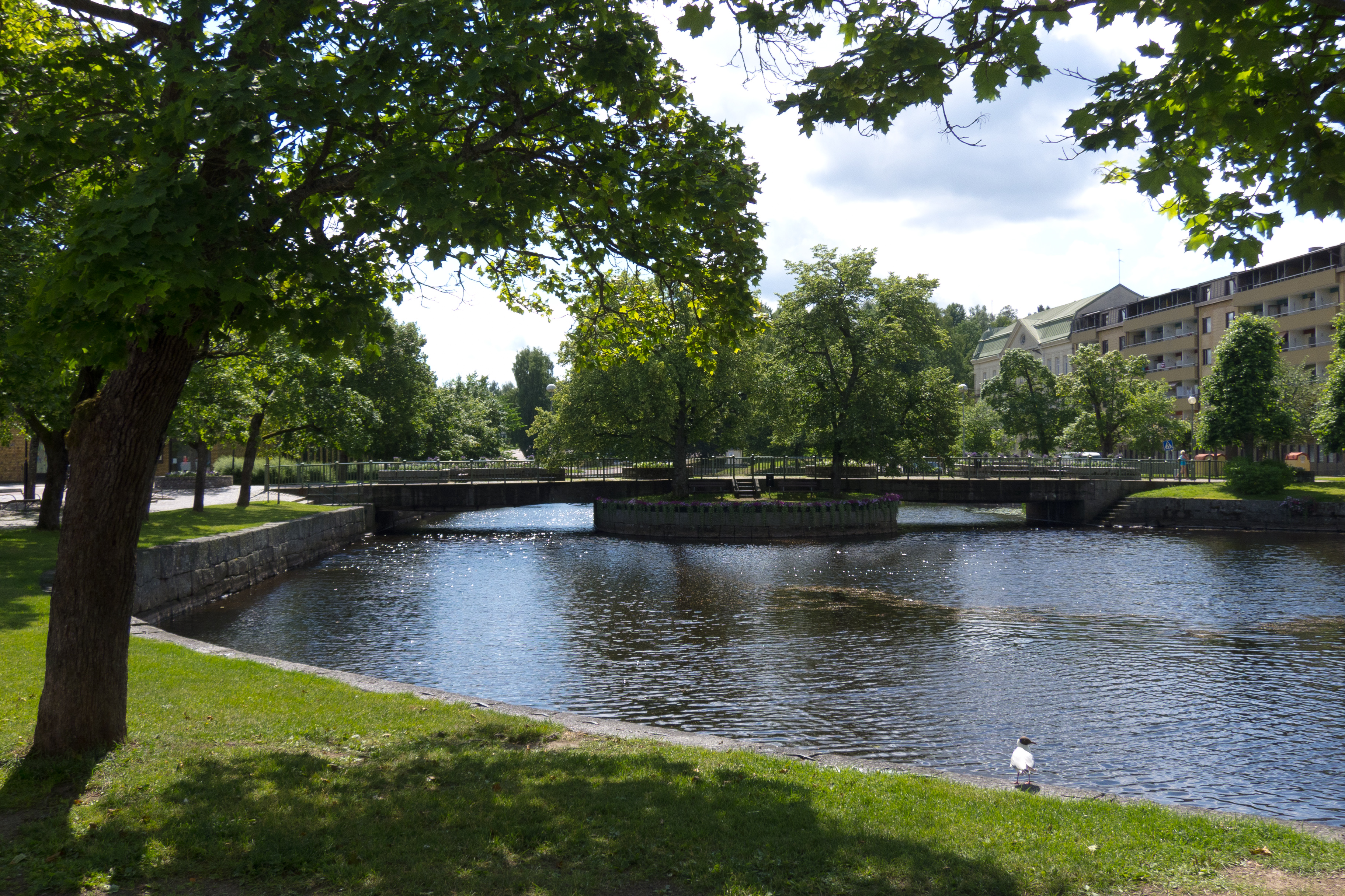
Filipstad, Värmland, Sweden
Between showers

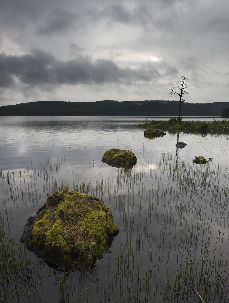
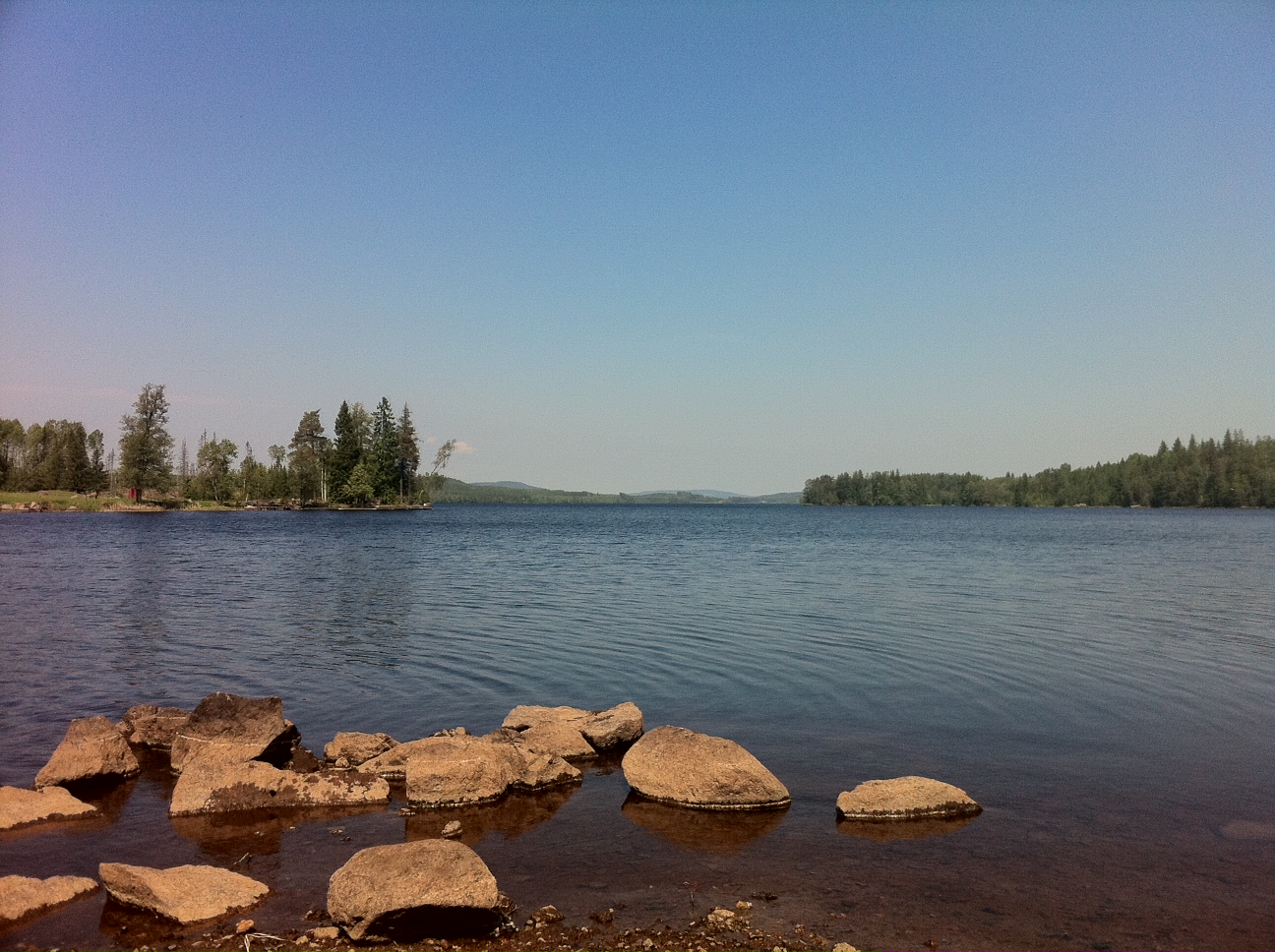
Mystery lake

Landscape bw
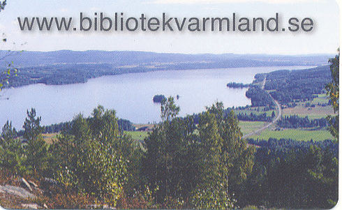
lånekort 2008

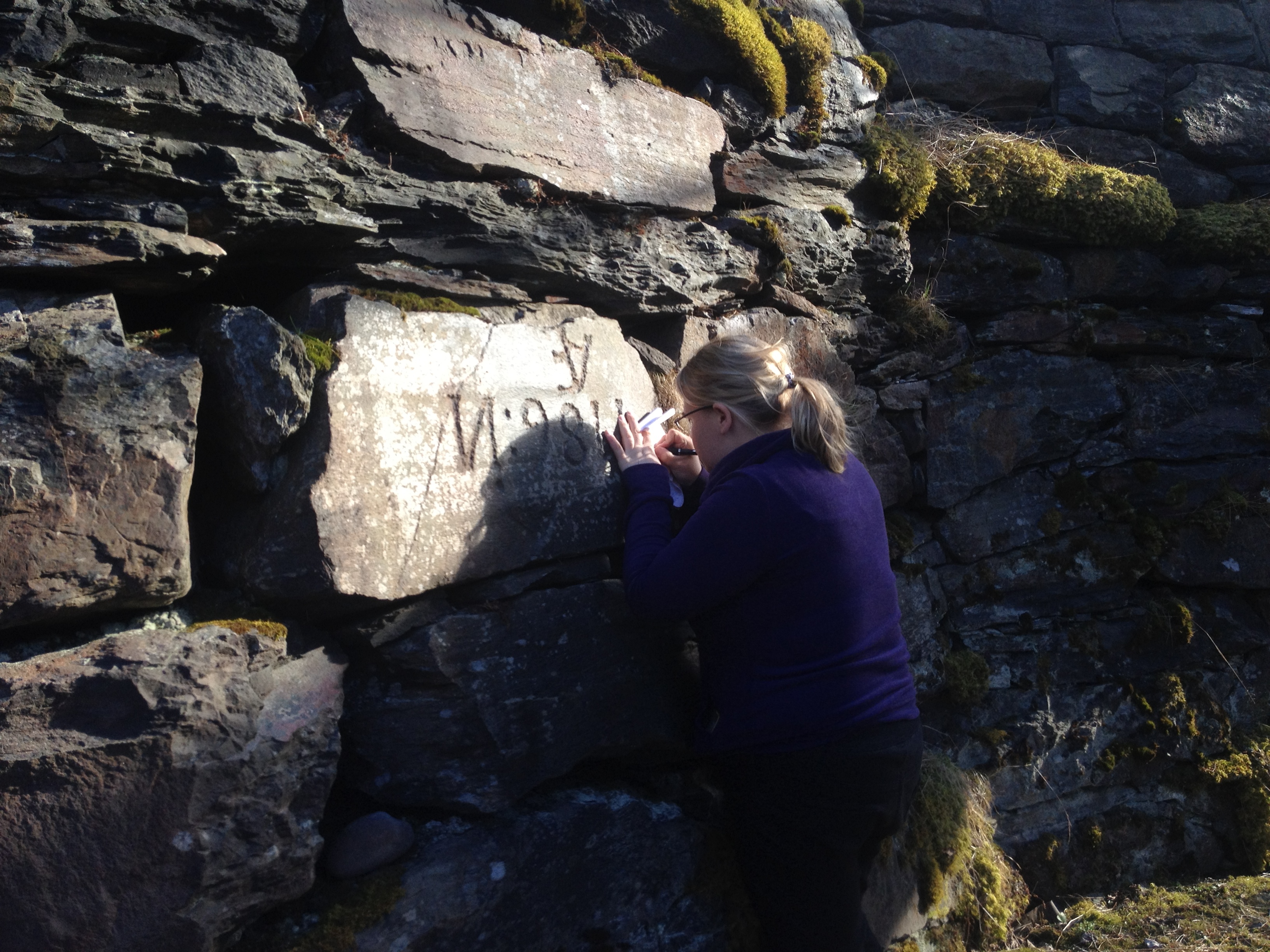
Munkeberg Filipstad

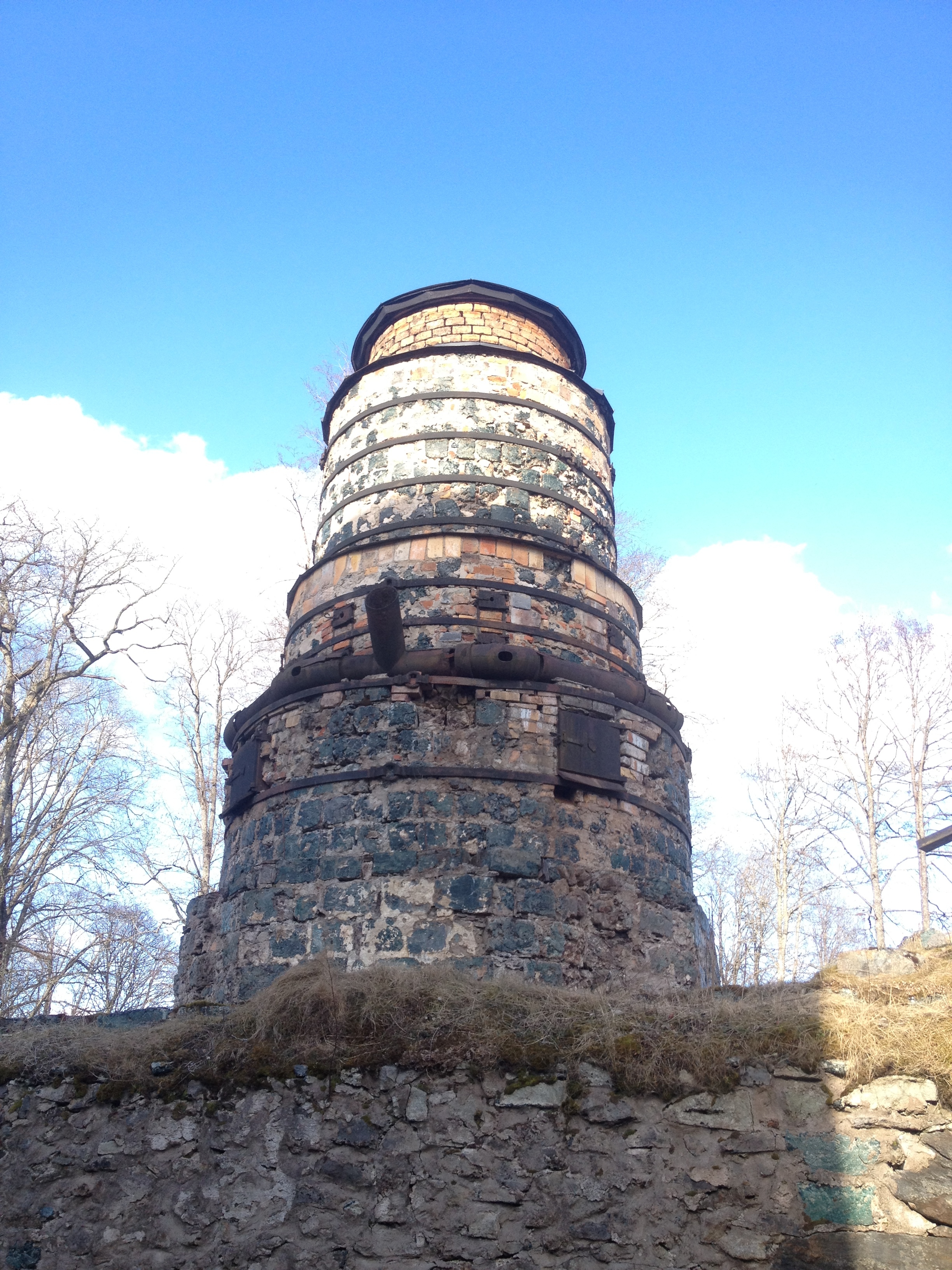
Tilas stoll

Rain - Saxå herrgård
DSCF1537.JPG

Autumn lake

Early evening

Dense fog

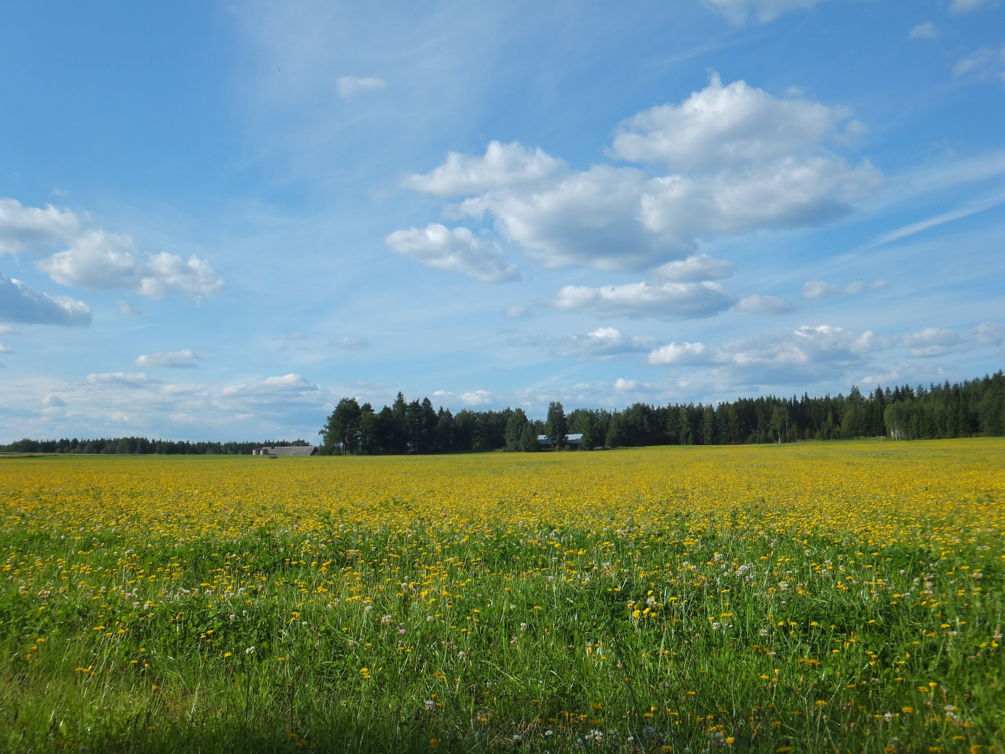
Autumn field
Stockholm Örebro

Ice is melting away

Early evening
Warmest day so far this year.
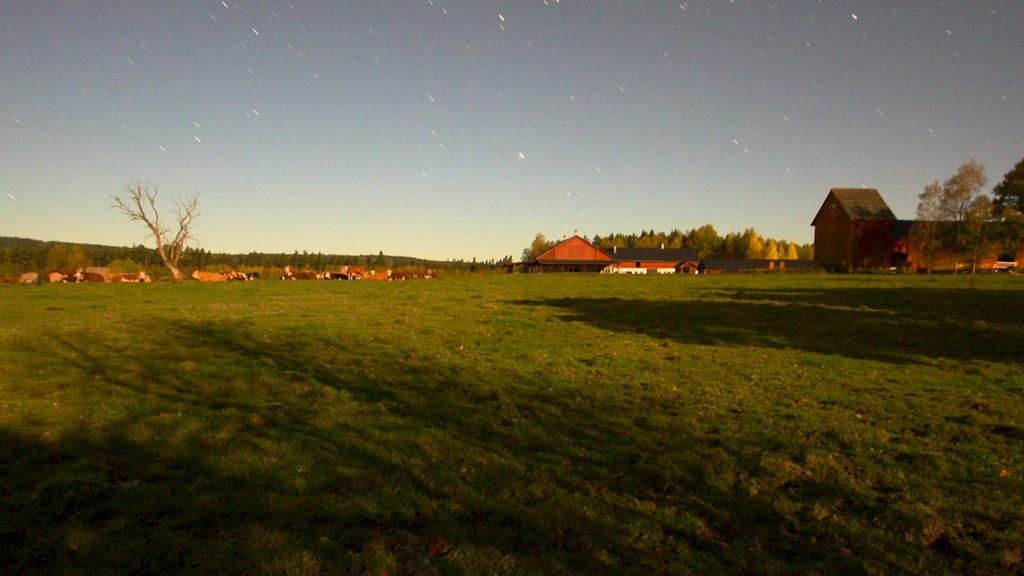
Sleeping cows

Semester 2015

IMG_2835.jpg
2011-07Juli-10_13-02-43
Stockholm Örebro
Topographic Map of Nykroppavägen 48, 34 Filipstad, Sweden
Find elevation by address:

Places near Nykroppavägen 48, 34 Filipstad, Sweden:
Filipstad
KARLSBERG 20, 92 Filipstad, Sweden
Gammalkroppa 1, 92 Filipstad, Sweden
BREDVIK 56, 92 Filipstad, Sweden
Gammalkroppa
Filipstad S
Filipstad Ö
Bovik 6, 94 Grythyttan, Sweden
Bovik
Bjurtjärn
BERGSJÖTORP 2, 94 Kristinehamn, Sweden
SKATVIKEN 3, 94 Grythyttan, Sweden
Silvergruvan
Åsviken
Storfors S
Limmingen 27, 95 Grythyttan, Sweden
Herrnäset Smultronvägen 1, 92 Storfors, Sweden
Hällefors V
Limmingen
Kedjeåsen Haga, 91 Karlskoga, Sweden
Recent Searches:
- Elevation of Foligno, Province of Perugia, Italy
- Elevation of Blauwestad, Netherlands
- Elevation of Bella Terra Blvd, Estero, FL, USA
- Elevation of Estates Loop, Priest River, ID, USA
- Elevation of Woodland Oak Pl, Thousand Oaks, CA, USA
- Elevation of Brownsdale Rd, Renfrew, PA, USA
- Elevation of Corcoran Ln, Suffolk, VA, USA
- Elevation of Mamala II, Sariaya, Quezon, Philippines
- Elevation of Sarangdanda, Nepal
- Elevation of 7 Waterfall Way, Tomball, TX, USA