Elevation of NY-, Pine Plains, NY, USA
Location: United States > New York > Dutchess County >
Longitude: -73.584739
Latitude: 41.97657
Elevation: 245m / 804feet
Barometric Pressure: 98KPa
Elevation Map:
Satellite Map:
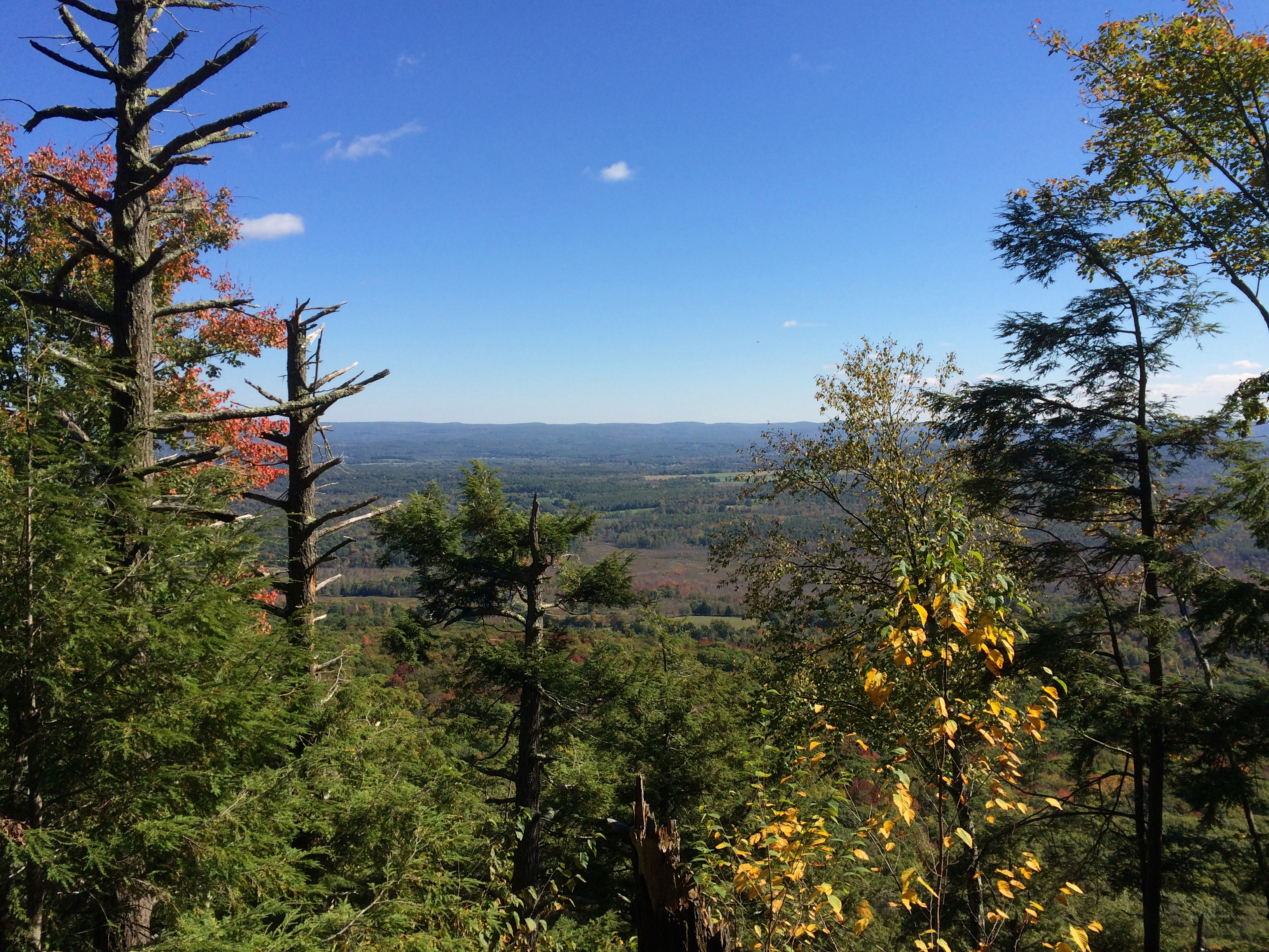
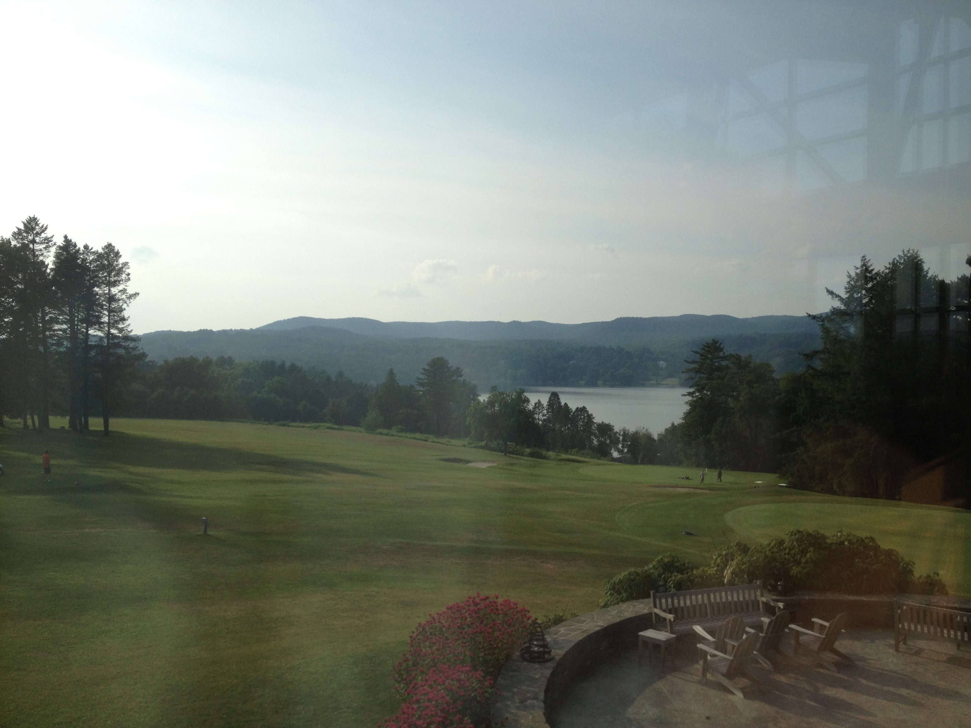
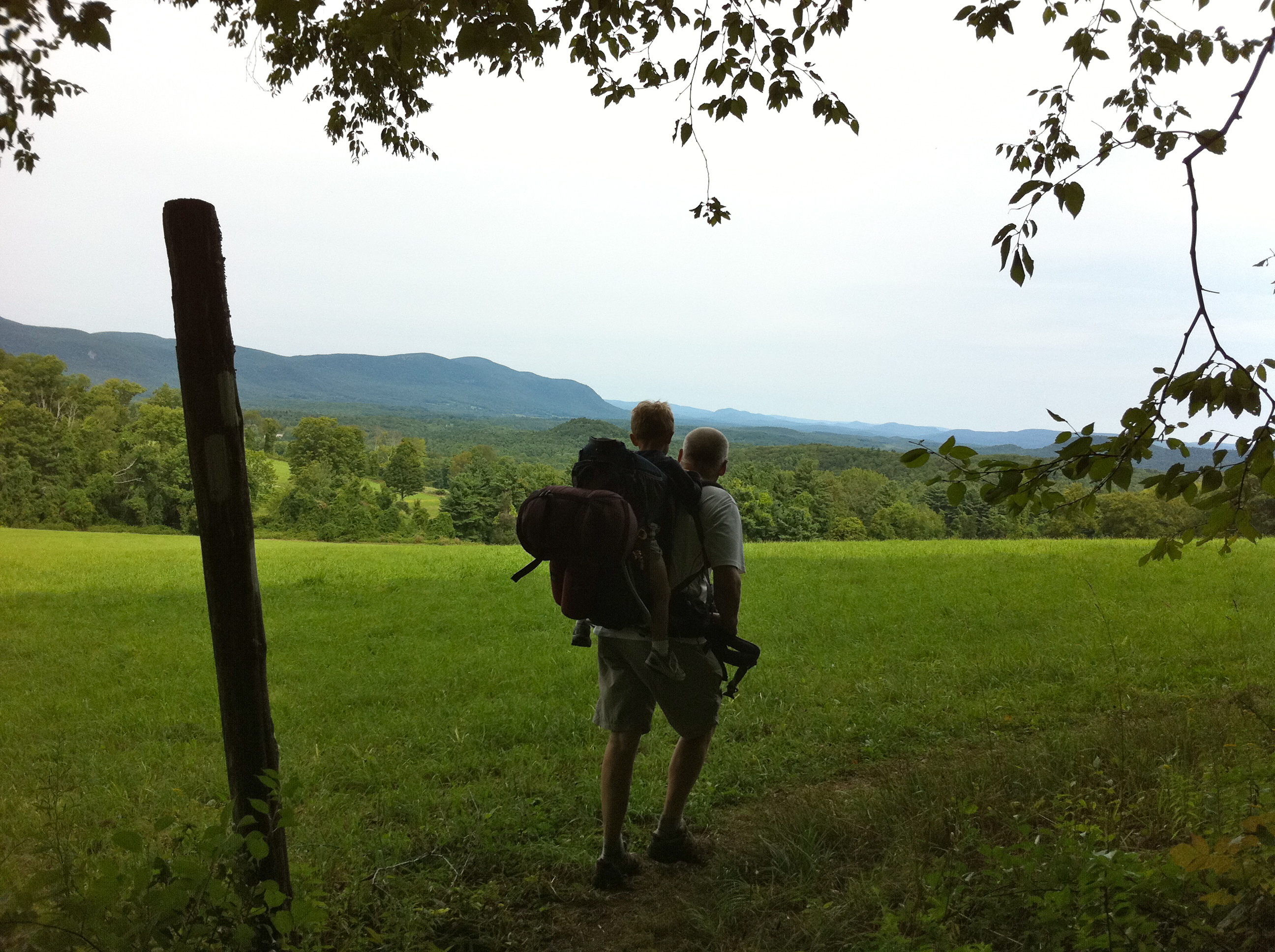
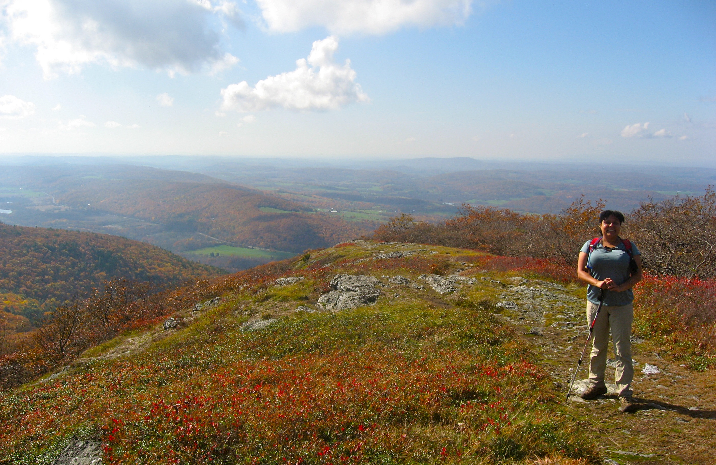
Related Photos:
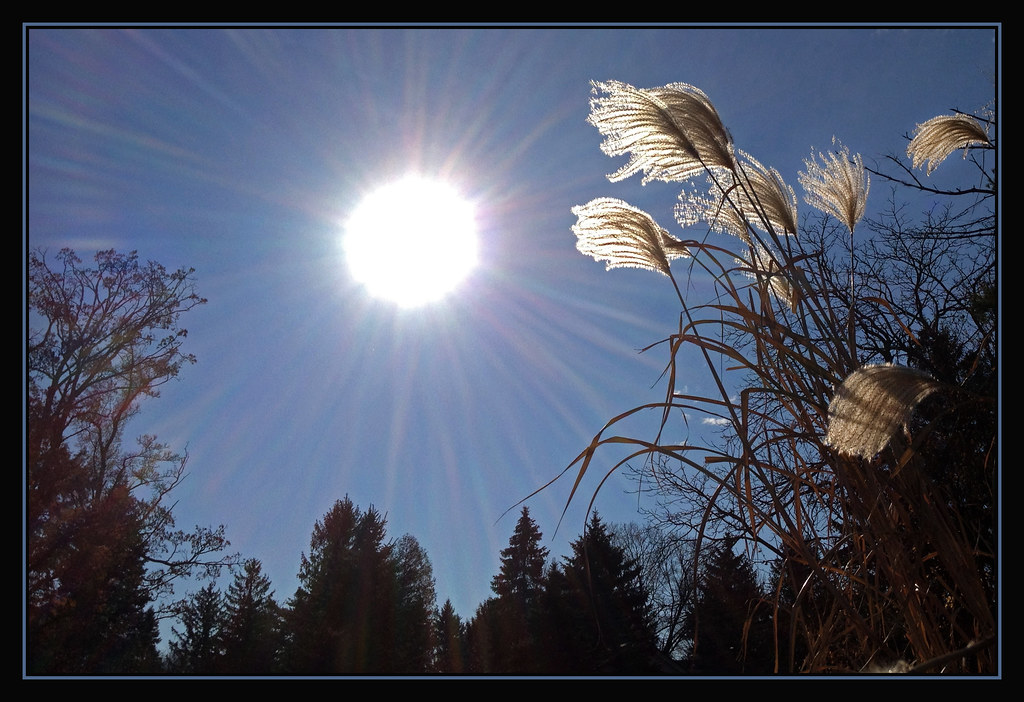
Heaven's Light
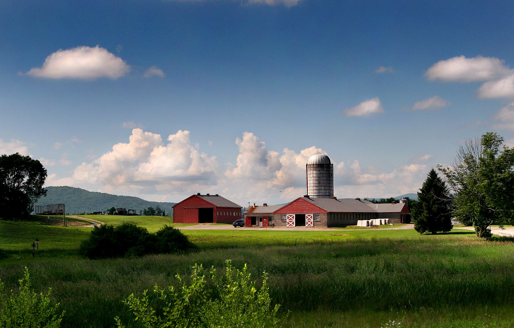
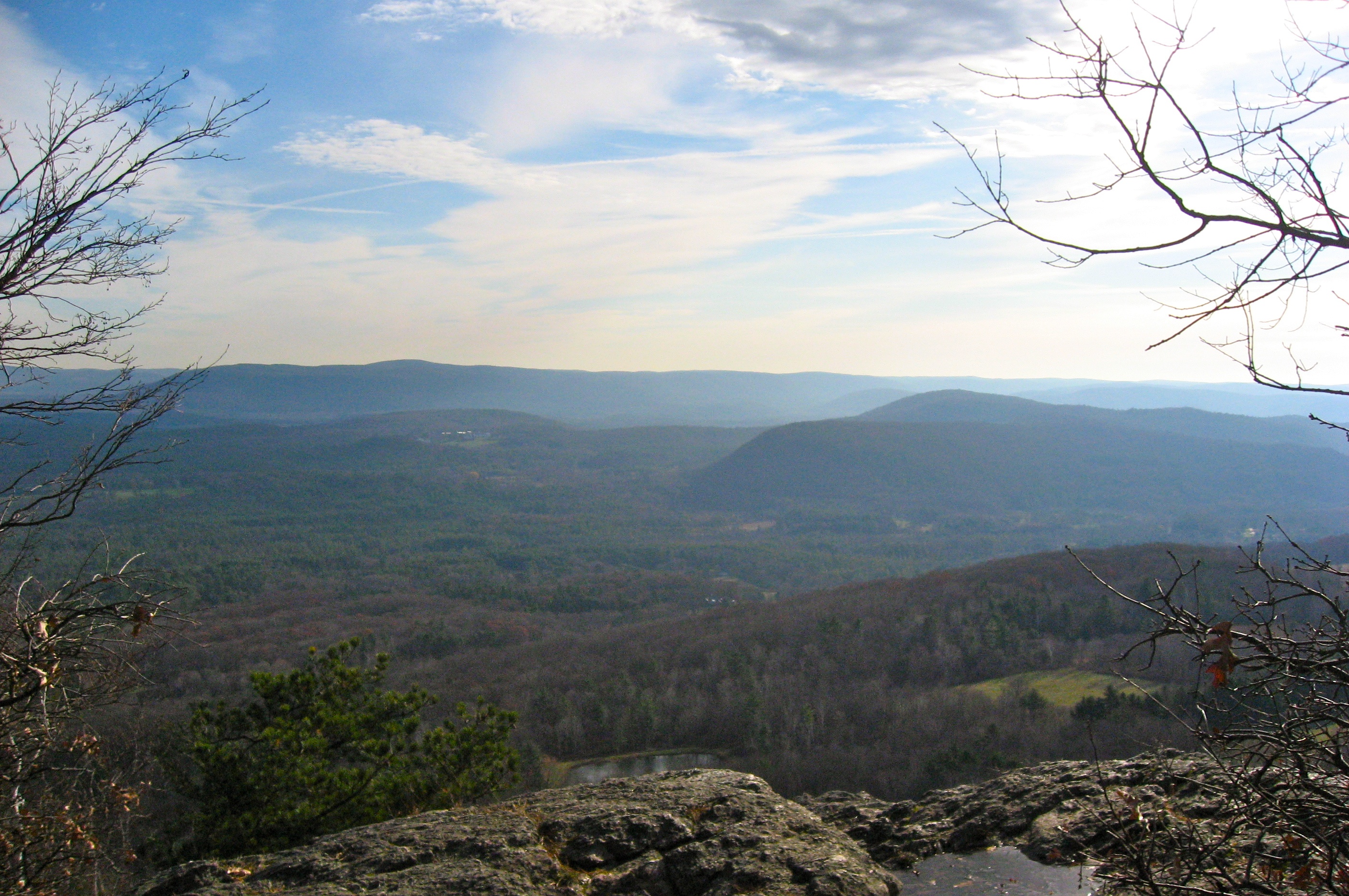
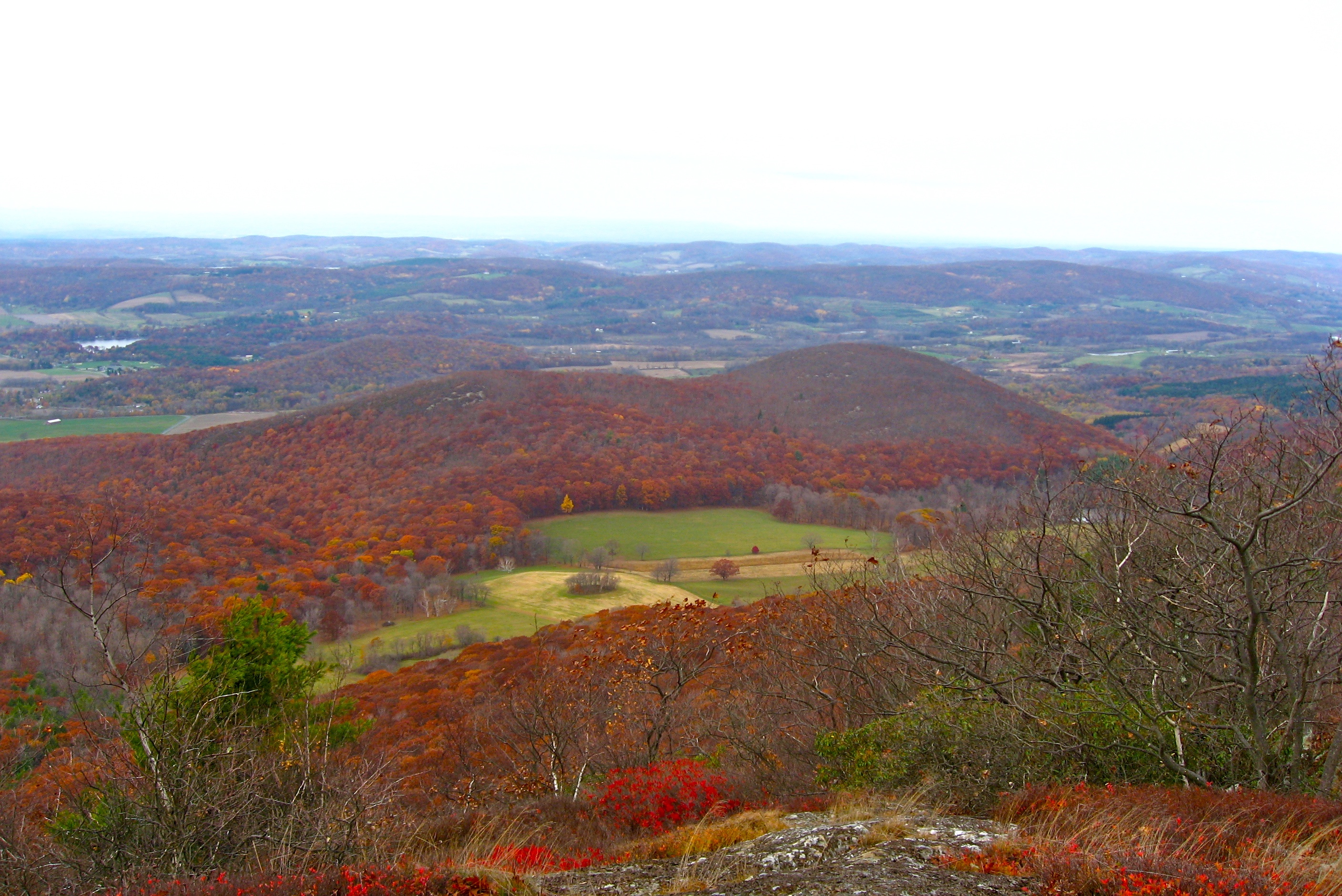
View from Bel Meadow (56)
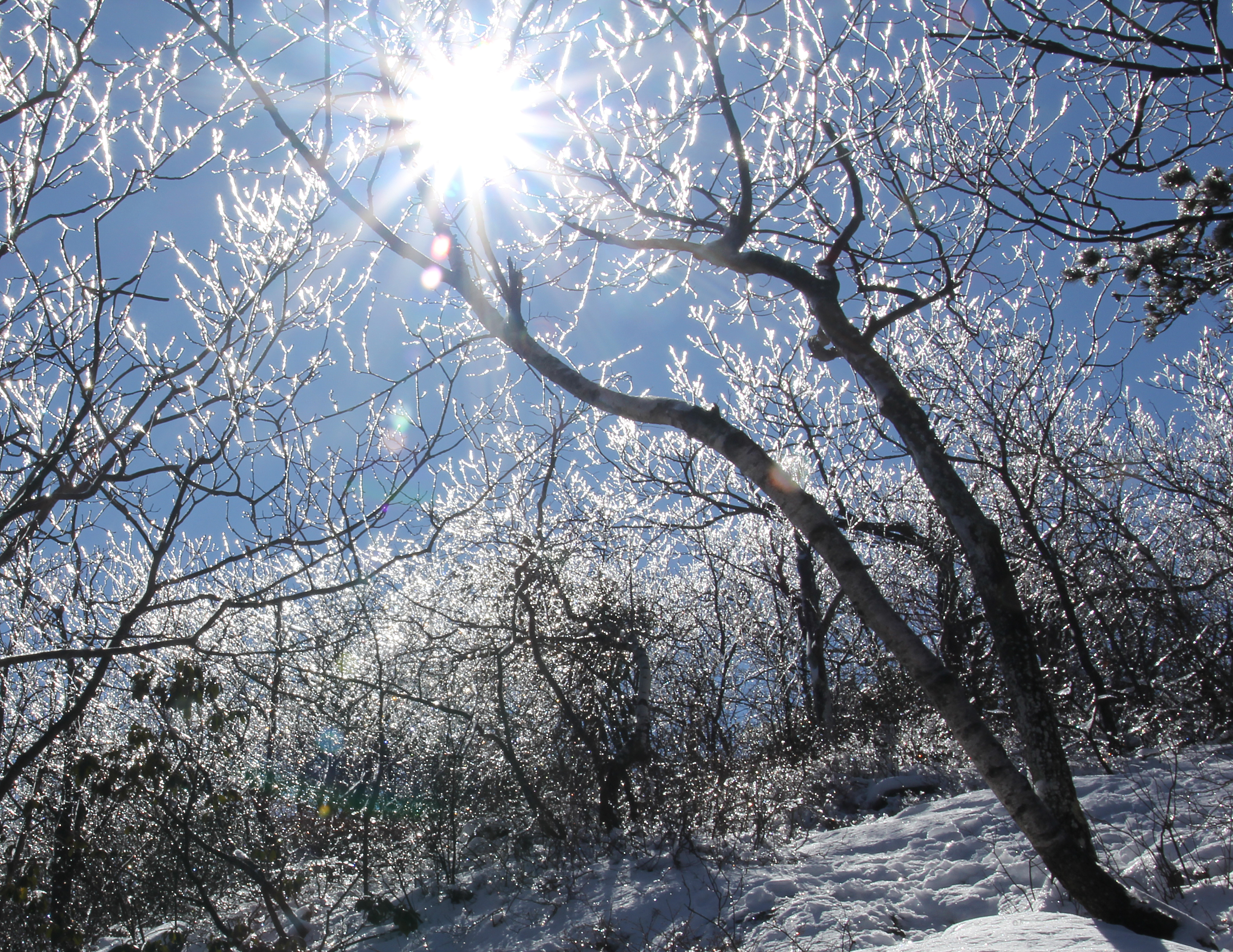
Ice and snow on Bear Mountain, CT
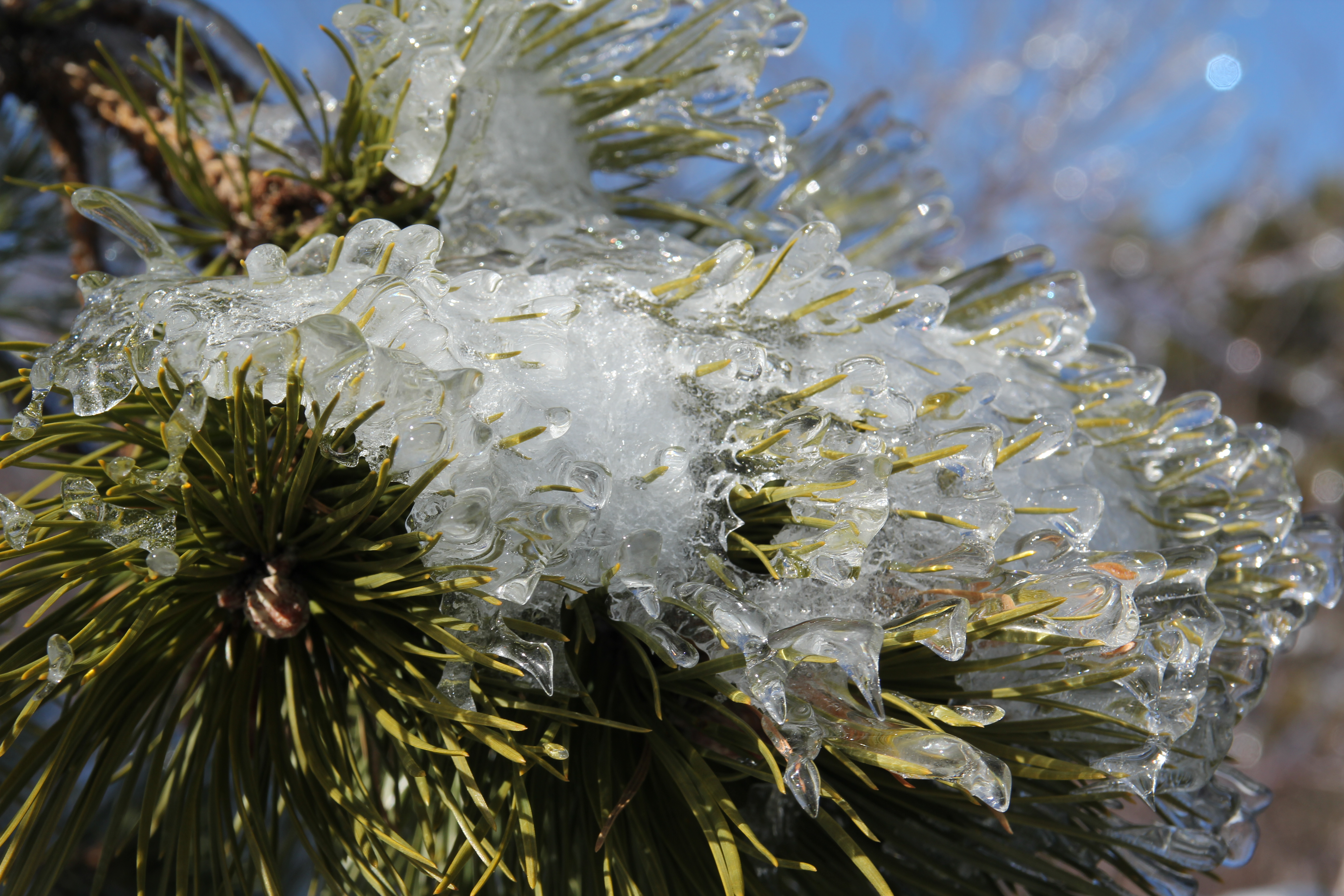
Pine Needles in Ice
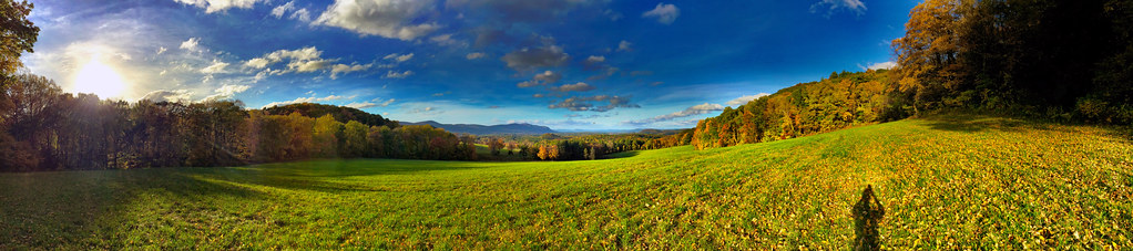
Rand's View iPhone 6 Plus Panorama
Wide View of Bash Bish

Cloudy View
Appalachian Trail - Race Mountain, MA

View from Brace Mountain
Early View South

Bear Mountain Ct Looking North
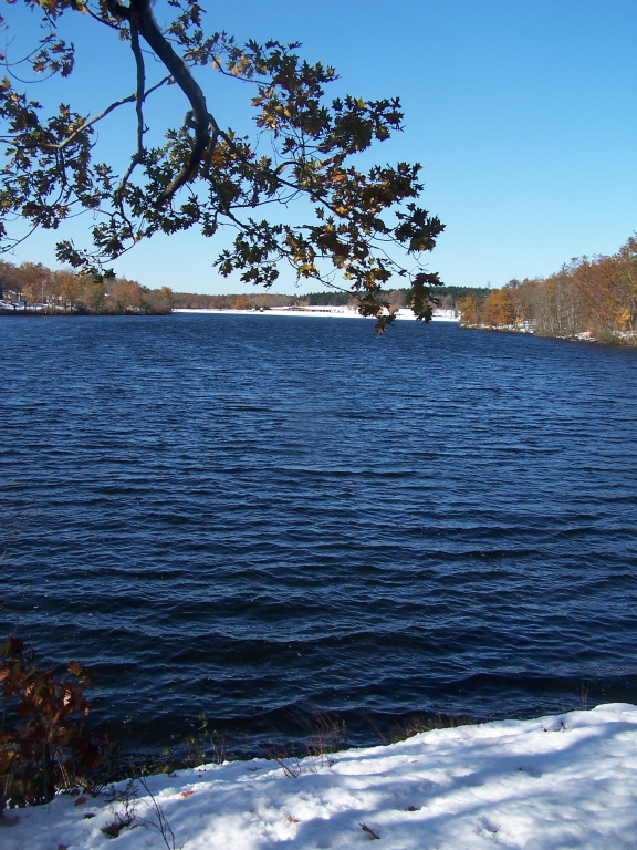
View from End of Lake

Brace View
Lion's View
Another view of the bridge

On NY 22 in Columbia County
The Option Institute View from the Hill
Limeted View on Descent
A view from the concert hall. Stunning.
Rand's view

West of Amenia NY Looking South - Second Stitch

East to Frissell

That's better
Mel on Alander
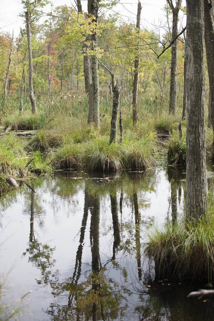
Thompson Pond
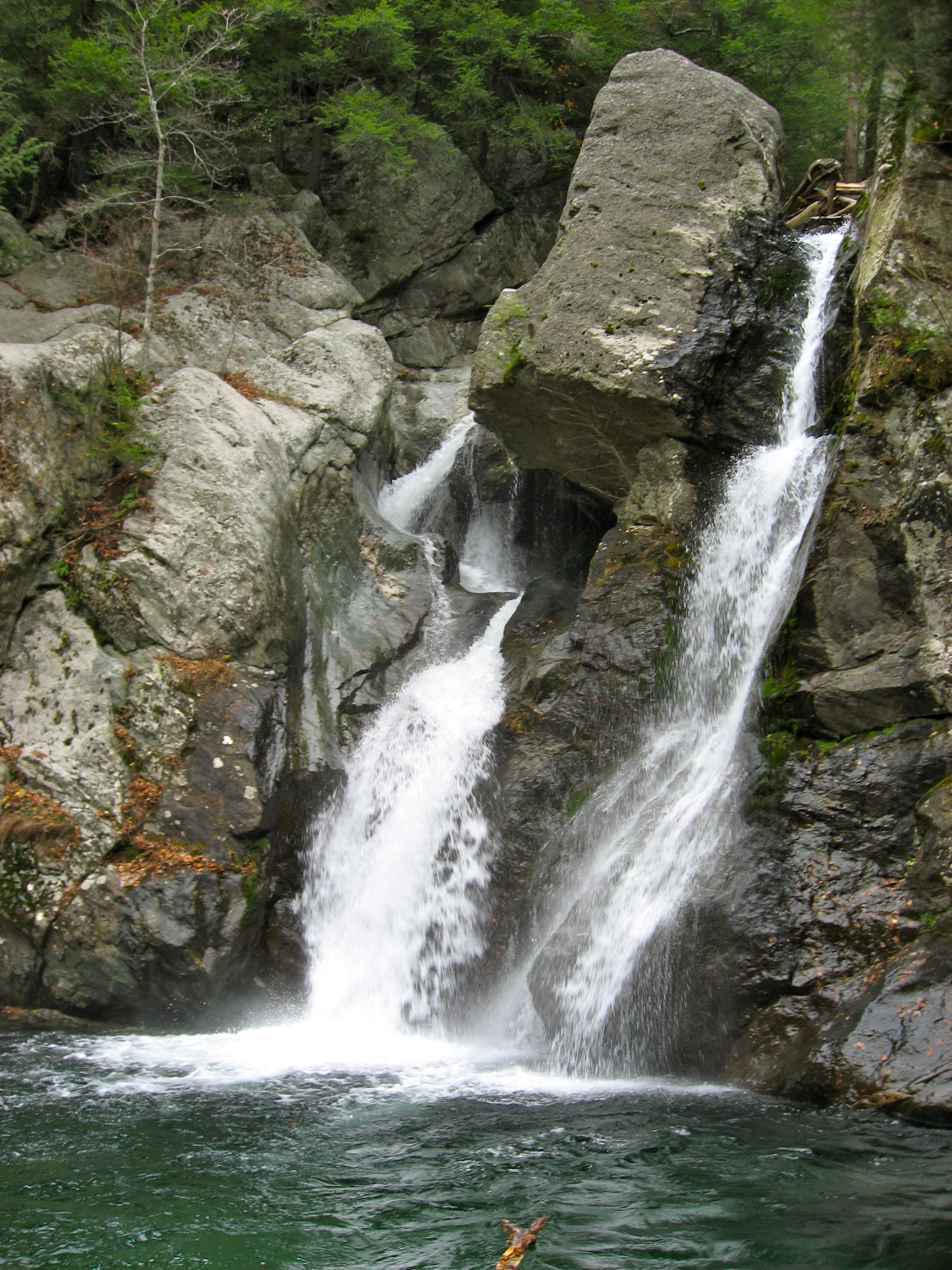
Bash Bish
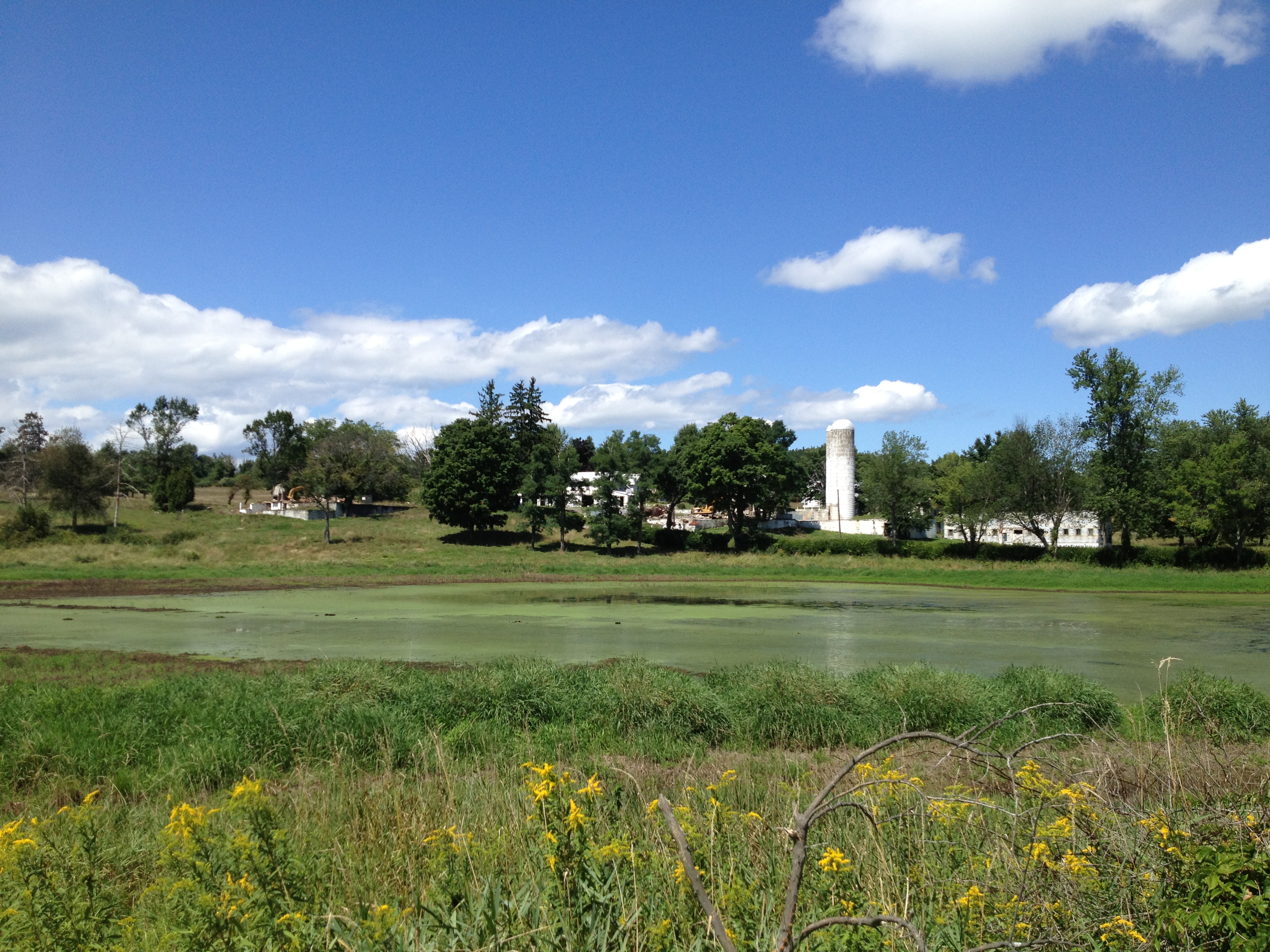
LOST IN THE FIELD

Bear Pano
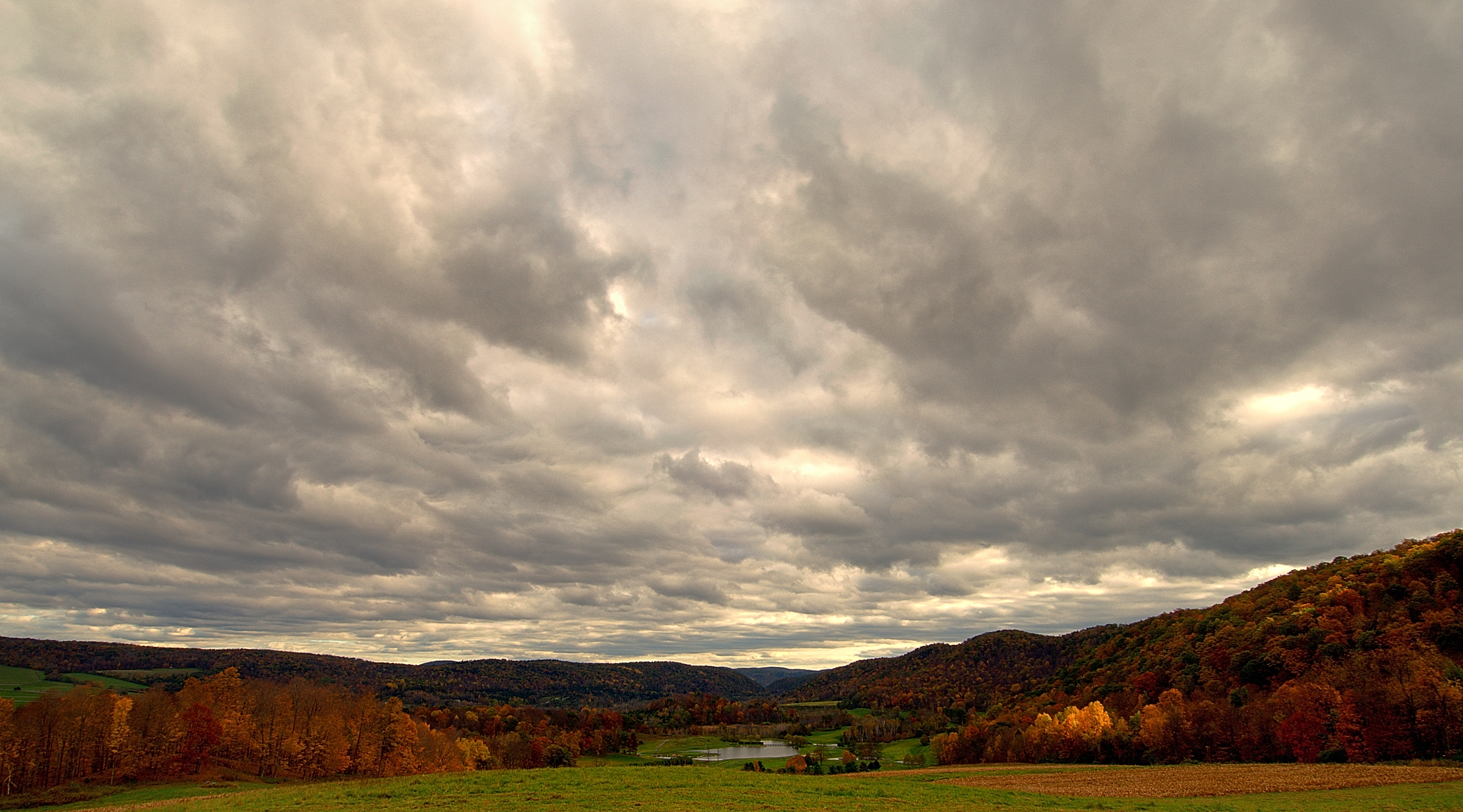
Breaking Storm on an Autumn Afternoon
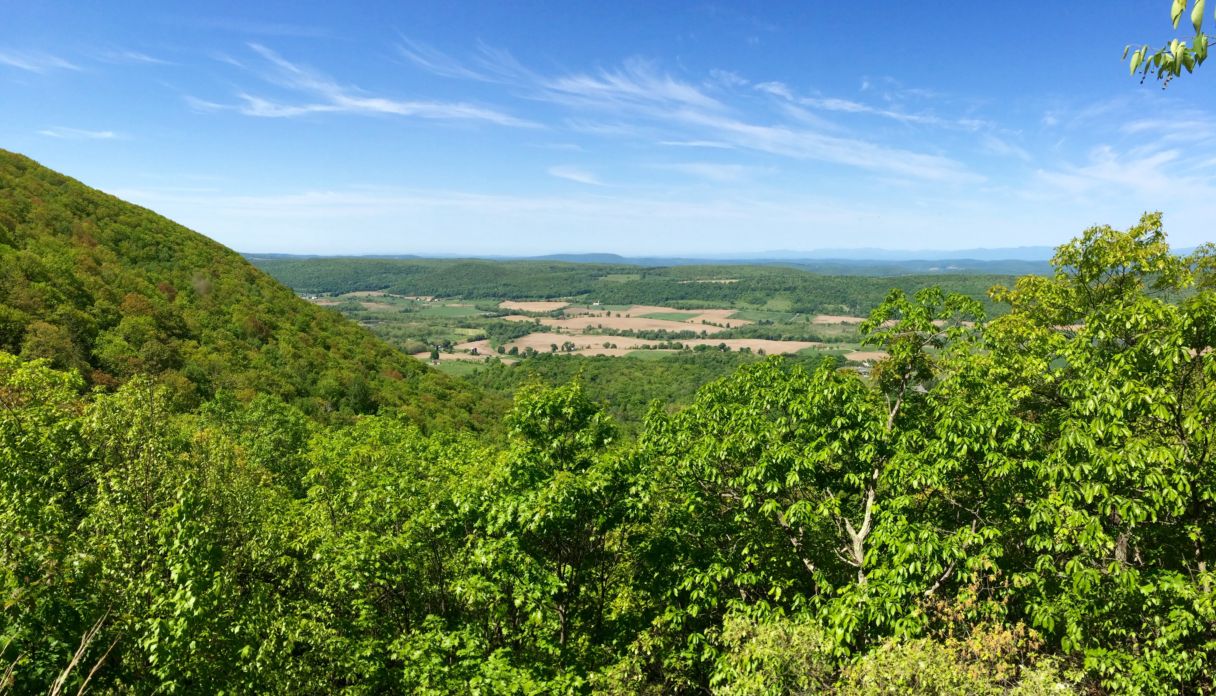
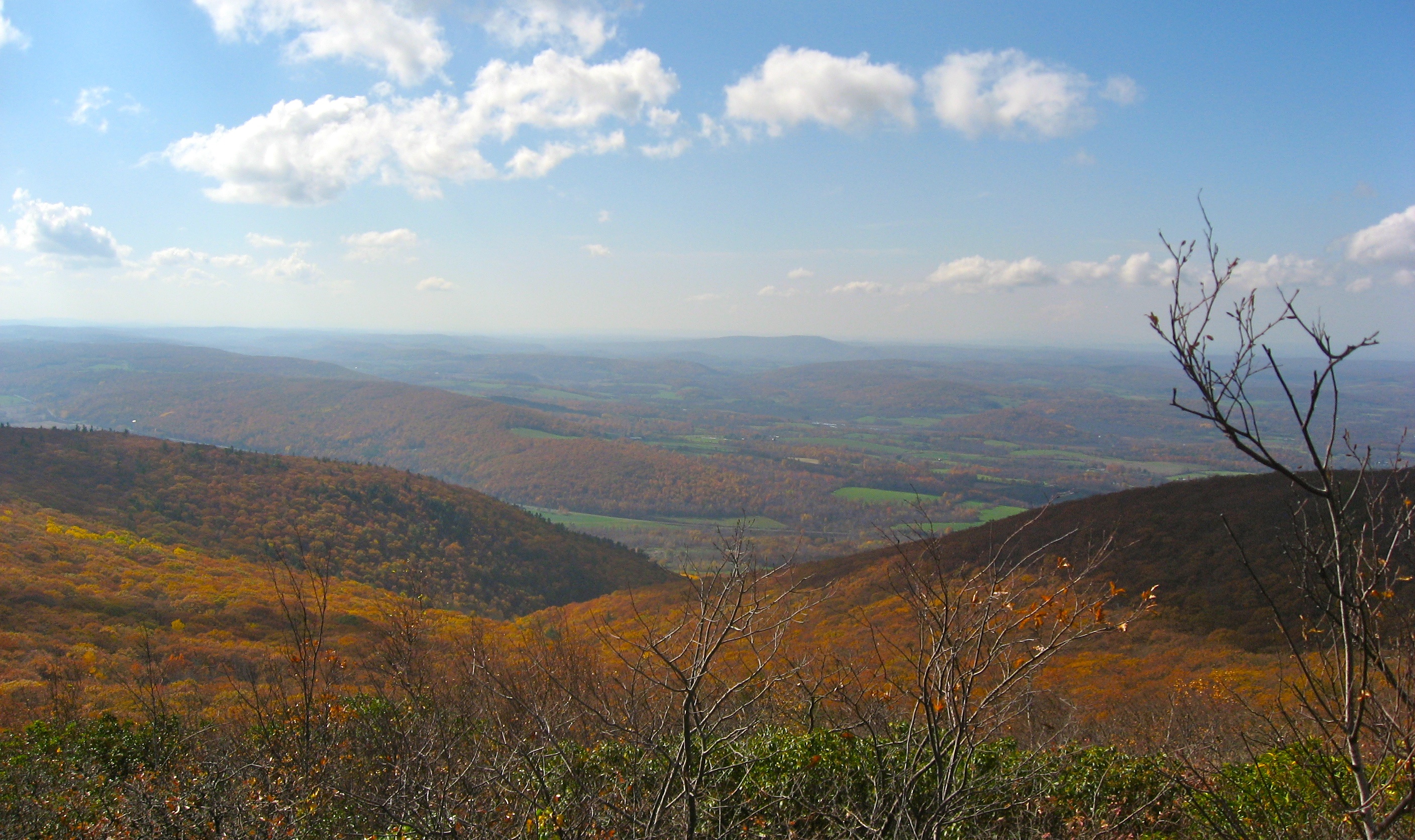
West to NY
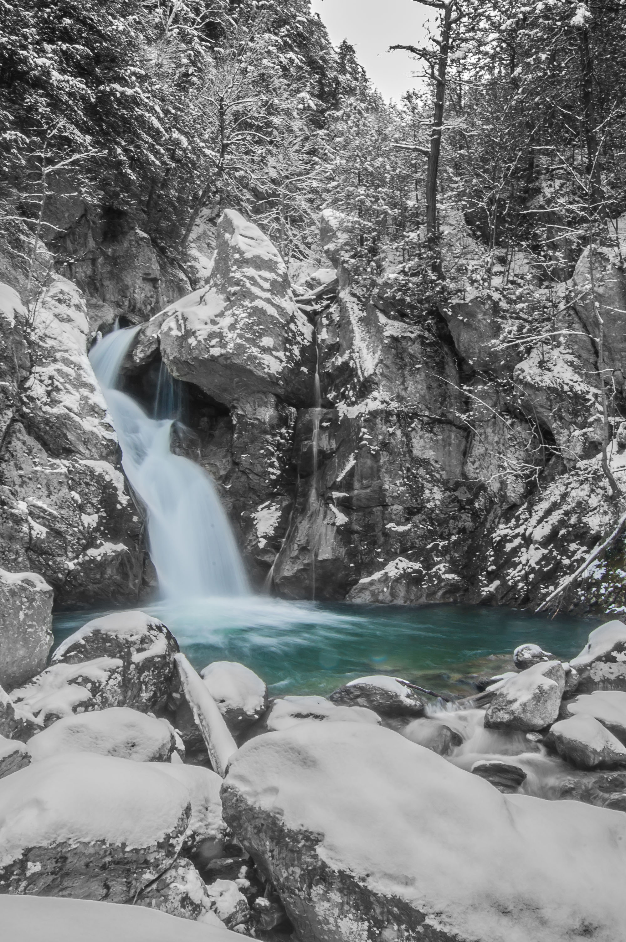
Sages Ravine

Sages Ravine
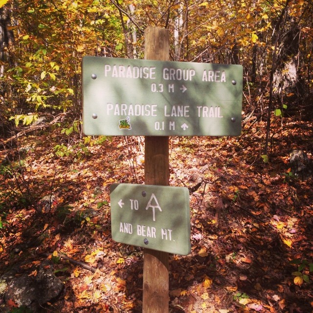
Leaving Alander
2012-08-18 12.41.48
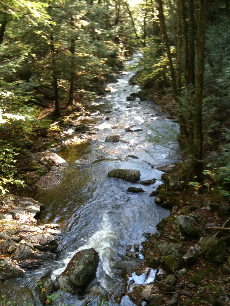
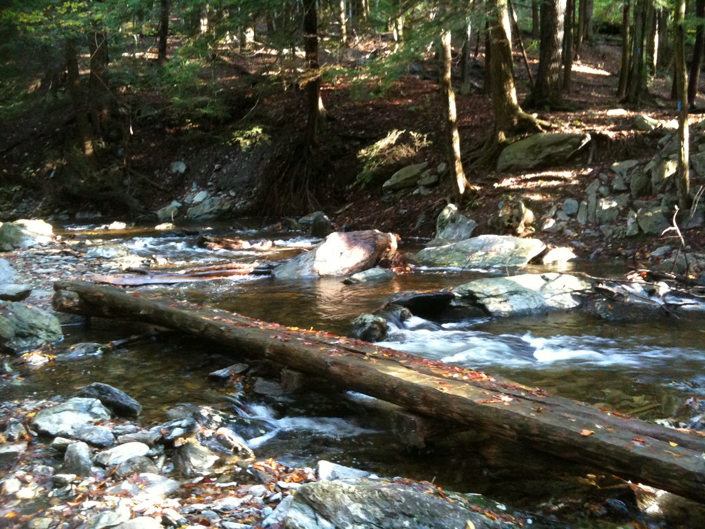
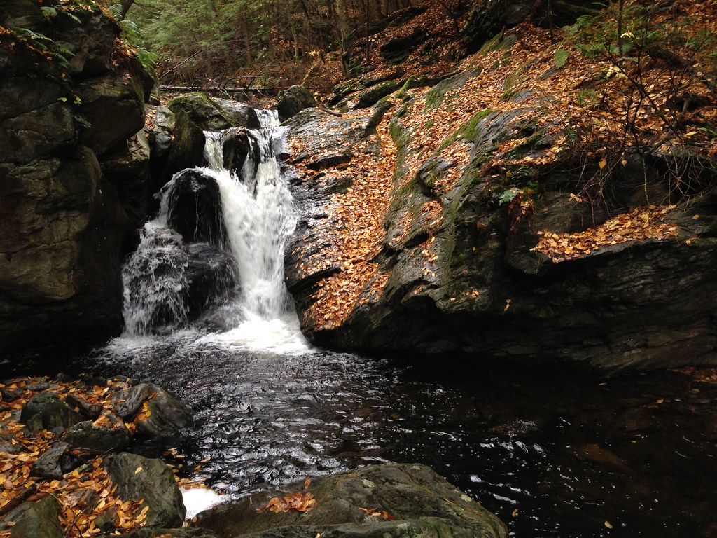
Looking downstream
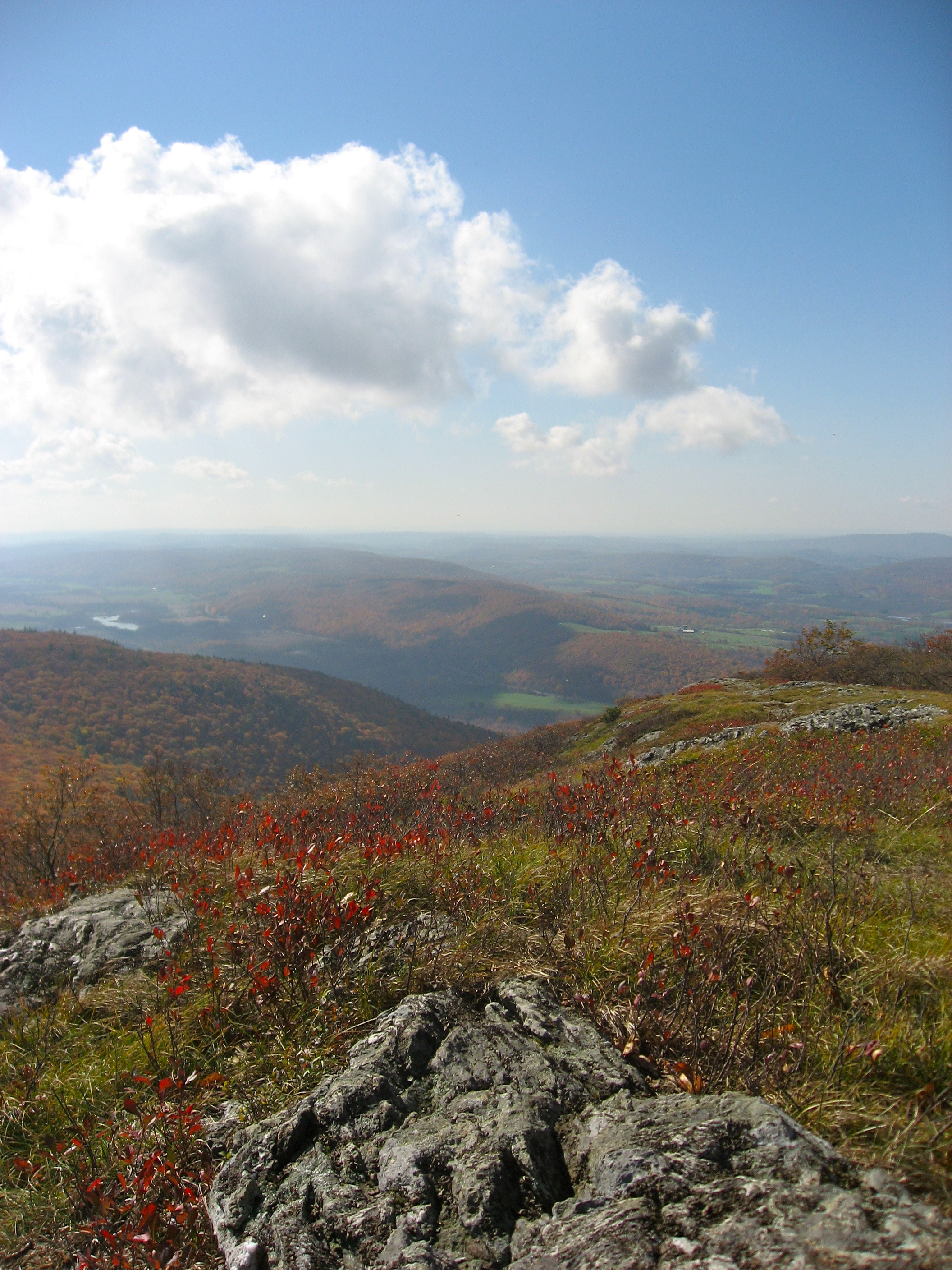
From Alander
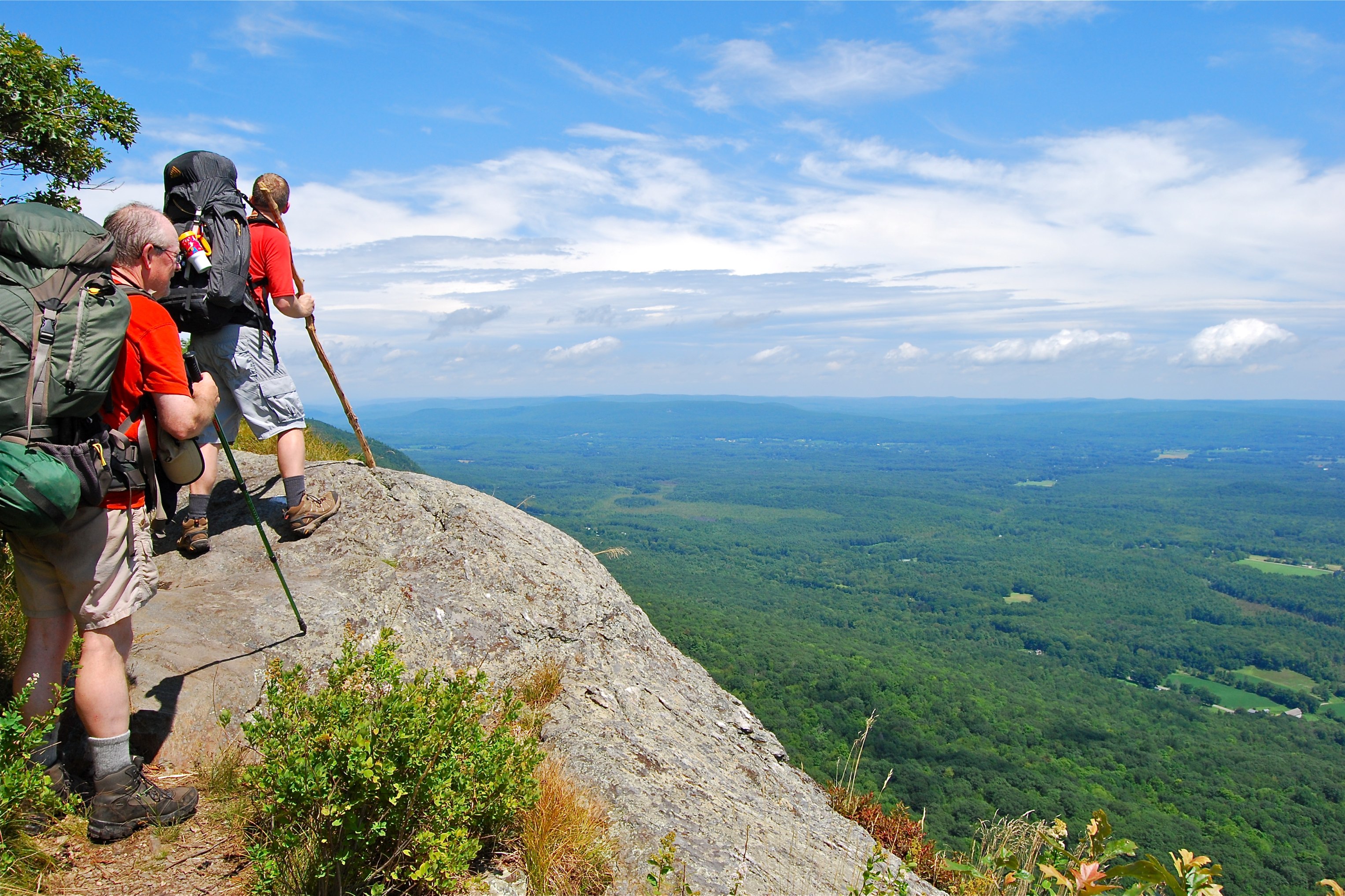
Climbing tallest peak in Connecticut.
Topographic Map of NY-, Pine Plains, NY, USA
Find elevation by address:

Places near NY-, Pine Plains, NY, USA:
174 Sawchuck Rd
225 Johnny Cake Hollow Rd
528 Smithfield Rd
5771 Ny-22
U.s. 44
Pine Plains
Church St, Pine Plains, NY, USA
North East
24 Barton St
Millerton
12 Fabrello Ln
9 Maple Ave
114 Ryan Rd
Pine Plains
Separate Rd, Amenia, NY, USA
1 State Line Rd
Stanford
45 Quarter Horse Way
13 Separate Rd
1113 Bangall Amenia Rd
Recent Searches:
- Elevation of Côte-des-Neiges, Montreal, QC H4A 3J6, Canada
- Elevation of Bobcat Dr, Helena, MT, USA
- Elevation of Zu den Ihlowbergen, Althüttendorf, Germany
- Elevation of Badaber, Peshawar, Khyber Pakhtunkhwa, Pakistan
- Elevation of SE Heron Loop, Lincoln City, OR, USA
- Elevation of Slanický ostrov, 01 Námestovo, Slovakia
- Elevation of Spaceport America, Co Rd A, Truth or Consequences, NM, USA
- Elevation of Warwick, RI, USA
- Elevation of Fern Rd, Whitmore, CA, USA
- Elevation of 62 Abbey St, Marshfield, MA, USA