Elevation of NW th Avenue Rd, Morriston, FL, USA
Location: United States > Florida > Levy County > Morriston >
Longitude: -82.362722
Latitude: 29.2877098
Elevation: 23m / 75feet
Barometric Pressure: 101KPa
Elevation Map:
Satellite Map:
Related Photos:

Train Track Wildflowers

Williston Fl

Project 365- 53-365
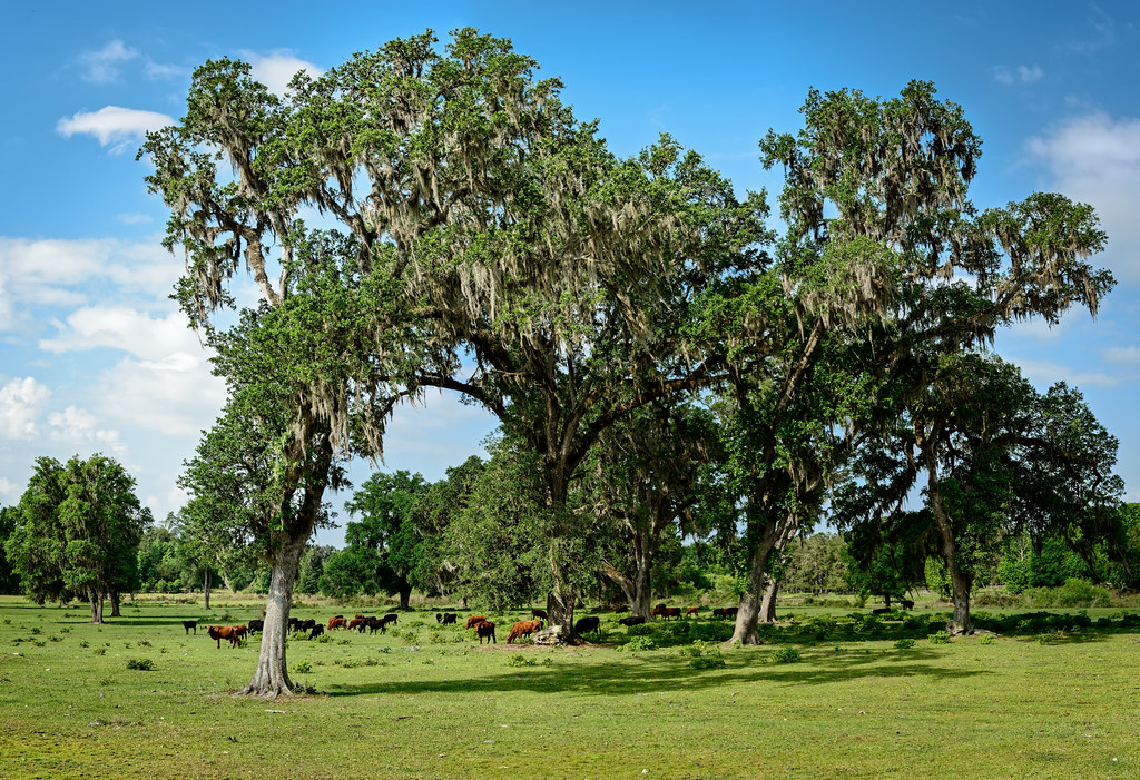
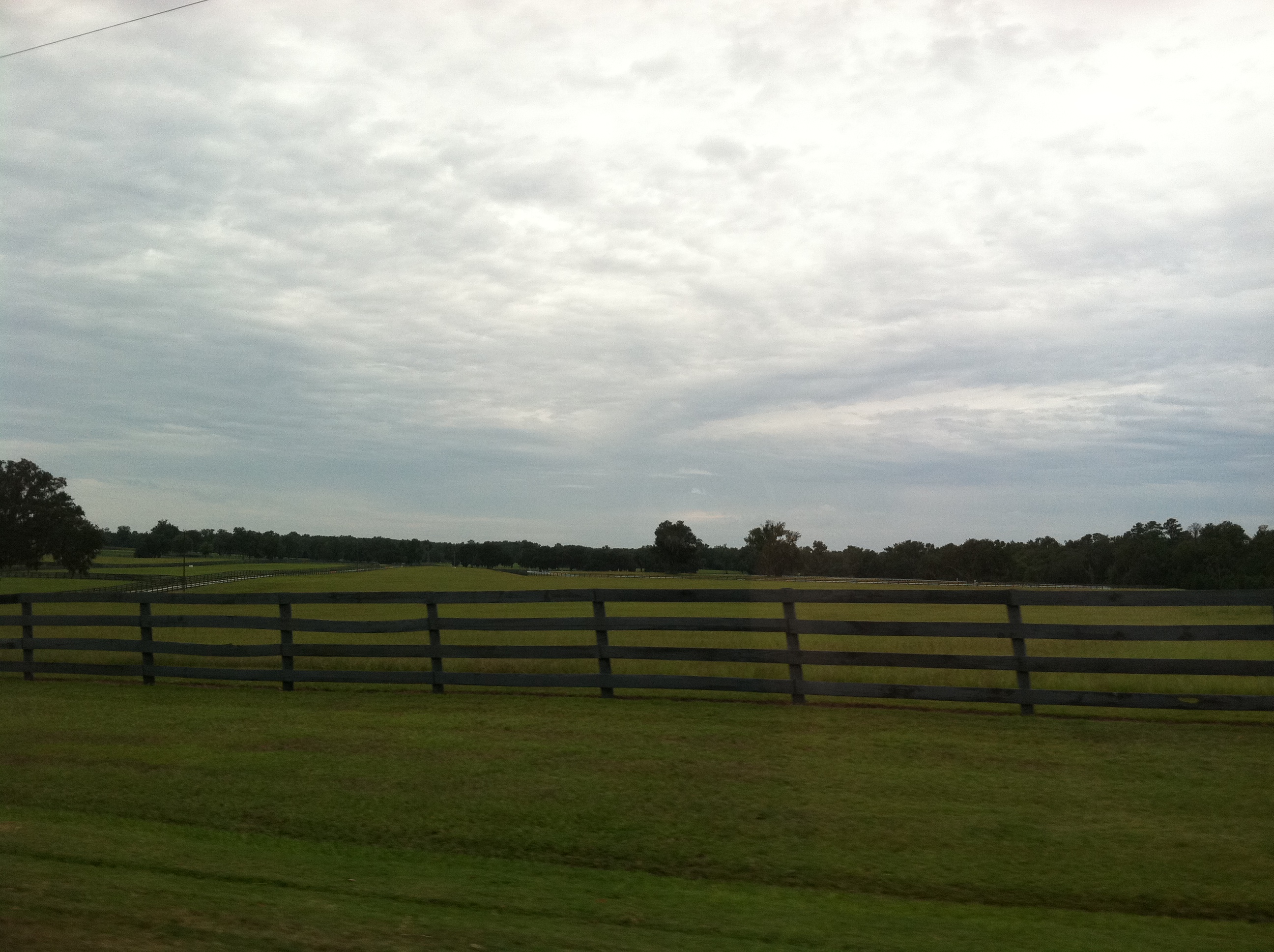
Greener Pastures

tight squeeze on Indian mountain road

What scares you the most: a few thousand bees or several feet of black tree snake?
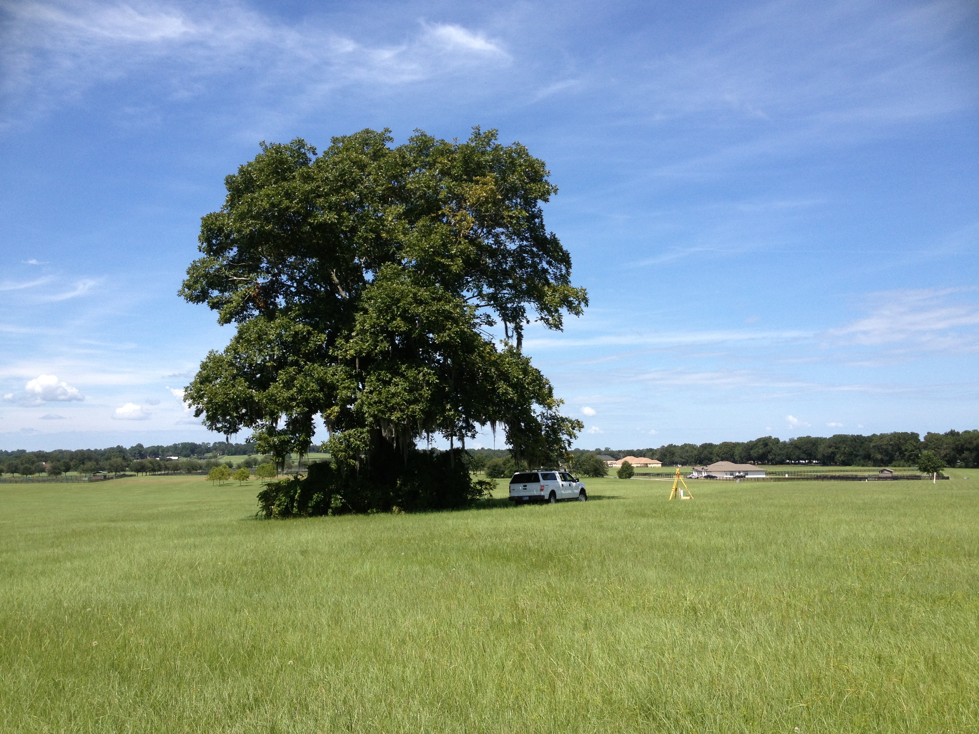
NW Marion Countryside Surveying
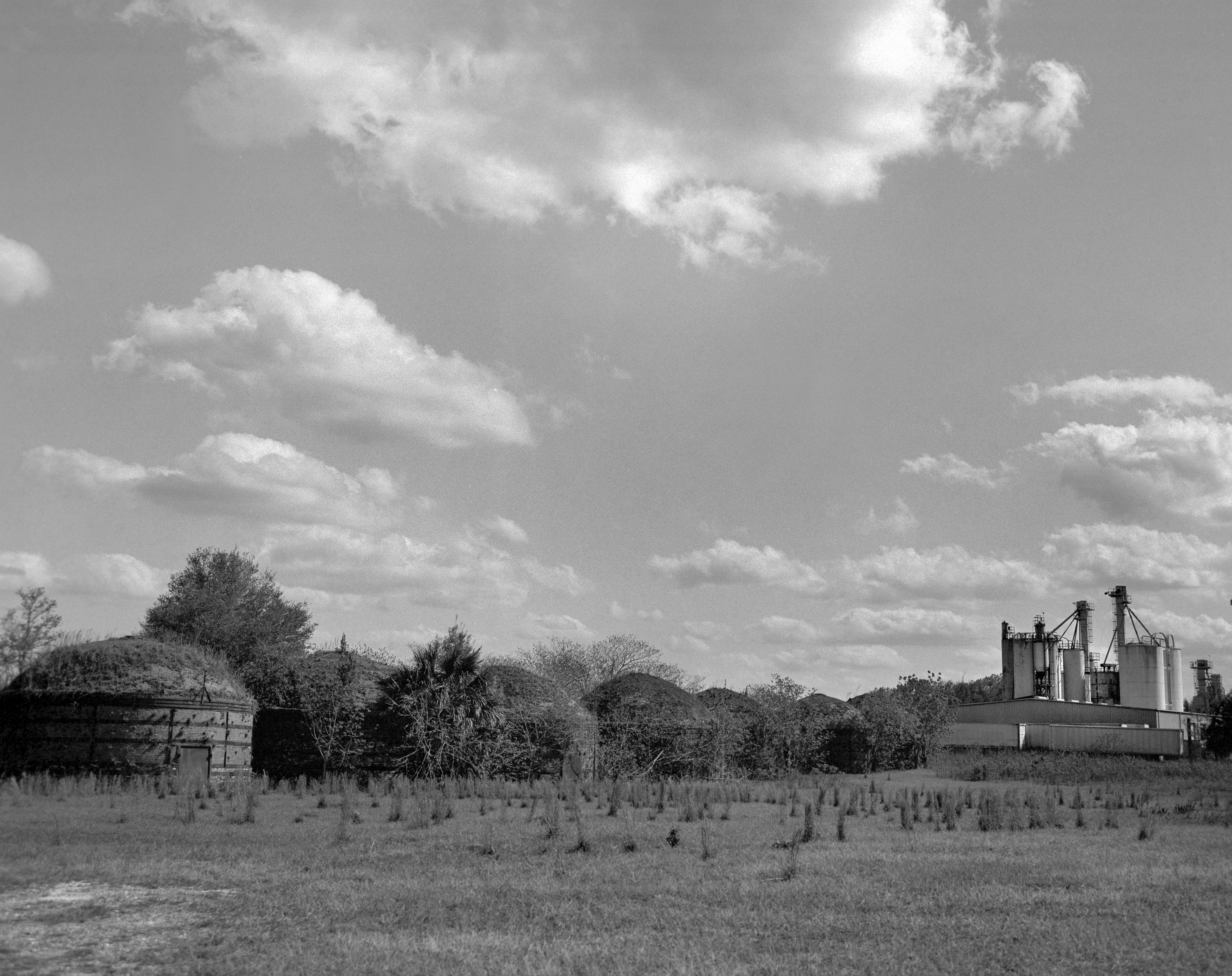
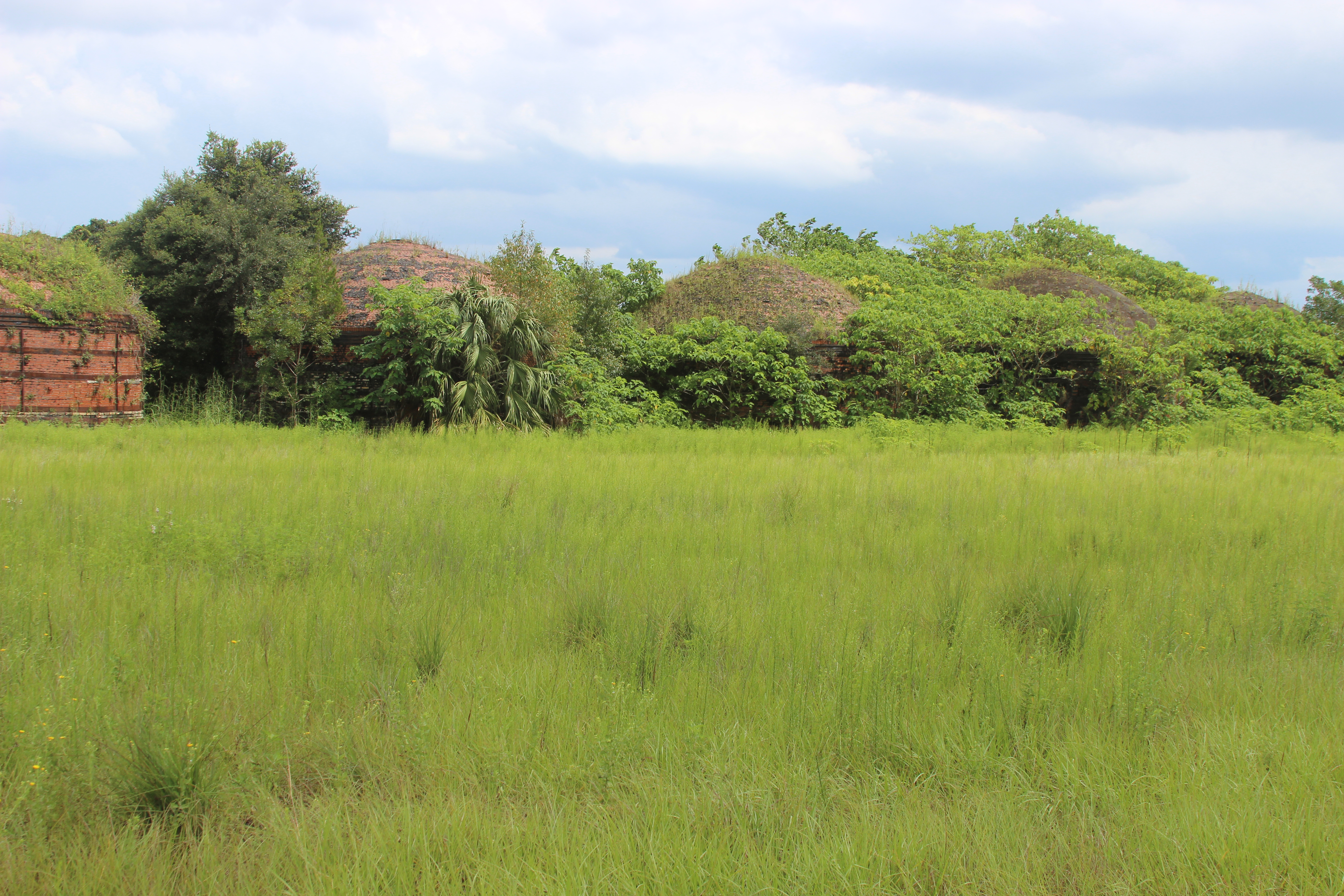
Beehive Charcoal Kilns
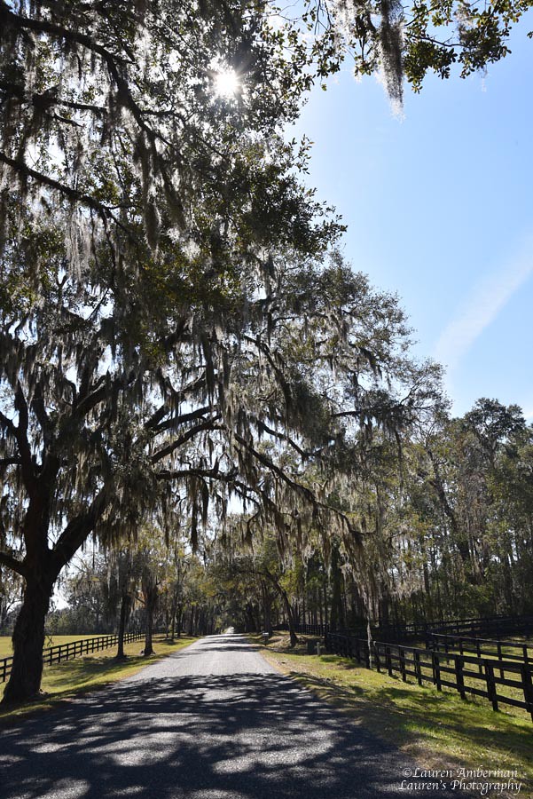
Ocala lane
Nature is taking them back...
Ocala, Florida
Topographic Map of NW th Avenue Rd, Morriston, FL, USA
Find elevation by address:

Places near NW th Avenue Rd, Morriston, FL, USA:
9535 Nw 145th Avenue Rd
US-27, Ocala, FL, USA
8490 Nw 118th Terrace
14320 Nw 142nd St
County Rd, Ocala, FL, USA
1 Notes SH Adj, Ocala, FL, USA
Morriston
20951 Ne 130 St
US-27, Ocala, FL, USA
5000 Nw 110th Ave
10023 Us-27
29 Wintergreen Way
19250 Se 21 Pl
10 Nashua Way
SE Terrace, Williston, FL, USA
7305 Nw 90th Ave
11592 Nw 12th Ln
900 Nw 112th Ct
Southeast 193 Street
19070 Se 70th Ln
Recent Searches:
- Elevation of Lagasgasan, X+CQH, Tiaong, Quezon, Philippines
- Elevation of Rojo Ct, Atascadero, CA, USA
- Elevation of Flagstaff Drive, Flagstaff Dr, North Carolina, USA
- Elevation of Avery Ln, Lakeland, FL, USA
- Elevation of Woolwine, VA, USA
- Elevation of Lumagwas Diversified Farmers Multi-Purpose Cooperative, Lumagwas, Adtuyon, RV32+MH7, Pangantucan, Bukidnon, Philippines
- Elevation of Homestead Ridge, New Braunfels, TX, USA
- Elevation of Orchard Road, Orchard Rd, Marlborough, NY, USA
- Elevation of 12 Hutchinson Woods Dr, Fletcher, NC, USA
- Elevation of Holloway Ave, San Francisco, CA, USA