Elevation of NV-, Amargosa Valley, NV, USA
Location: United States > Nevada > Nye County > Amargosa Valley >
Longitude: -116.42335
Latitude: 36.4125414
Elevation: 659m / 2162feet
Barometric Pressure: 94KPa
Elevation Map:
Satellite Map:
Related Photos:
July4th #Weekend, #LasVegas #SouthwestAirlines
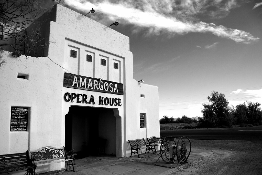
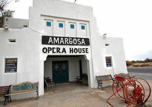
Amargosa Opera House
Death Valley Junction Historic District
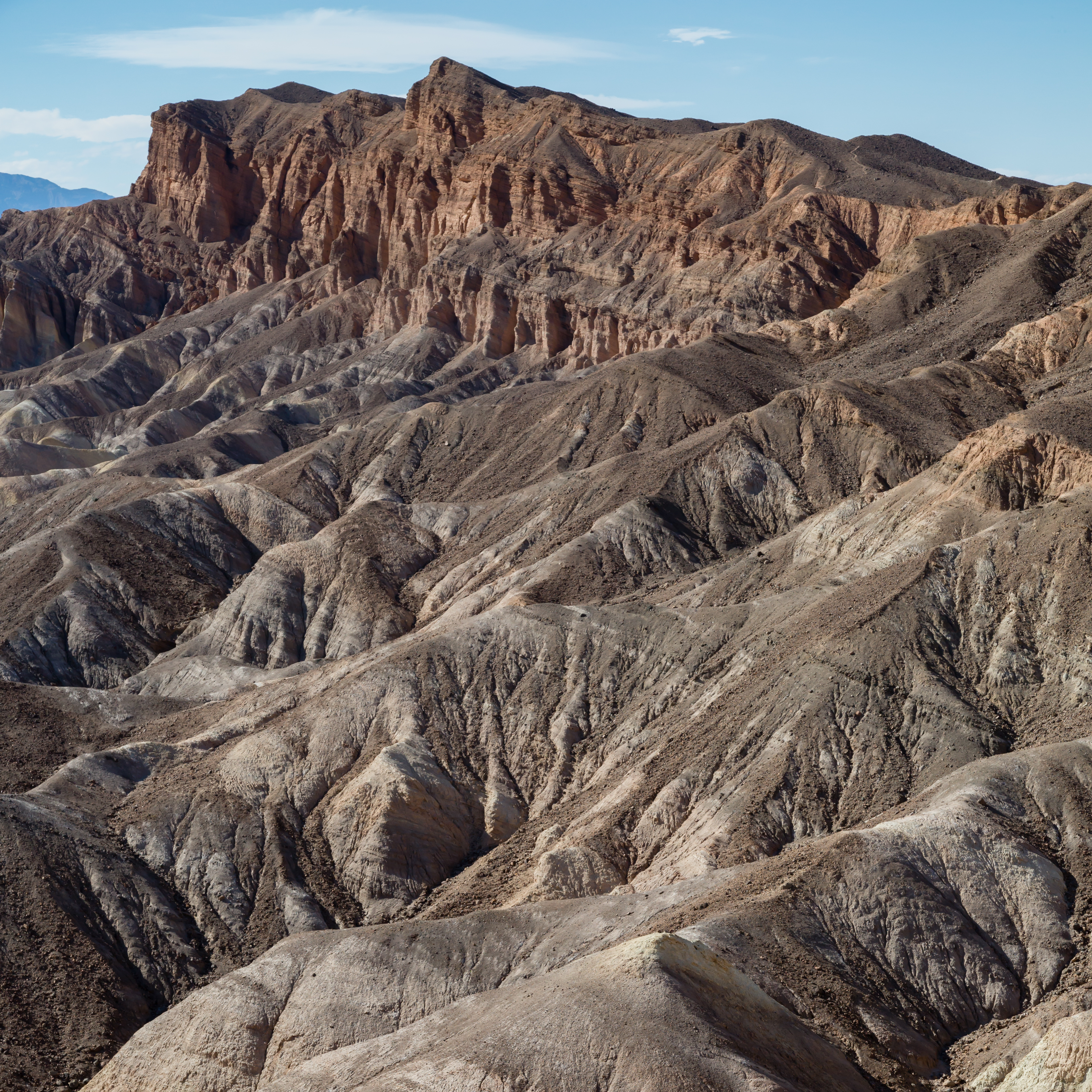
Death Valley
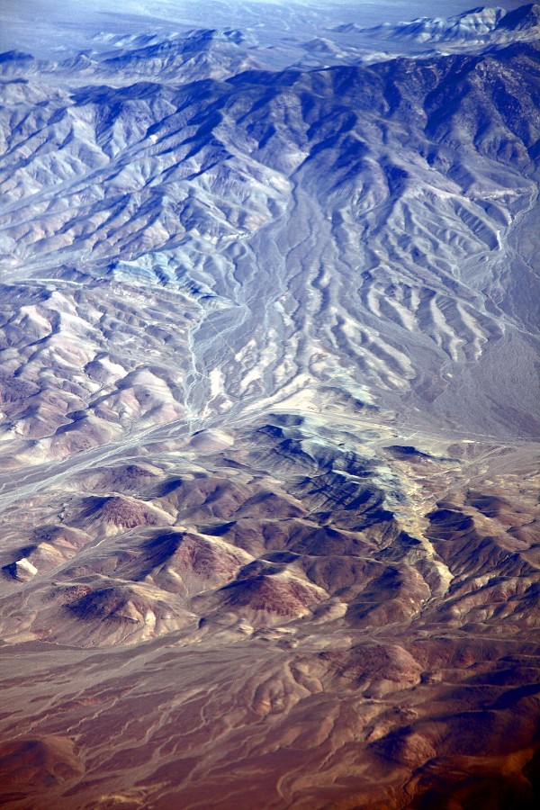
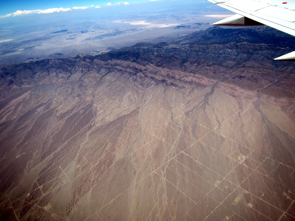
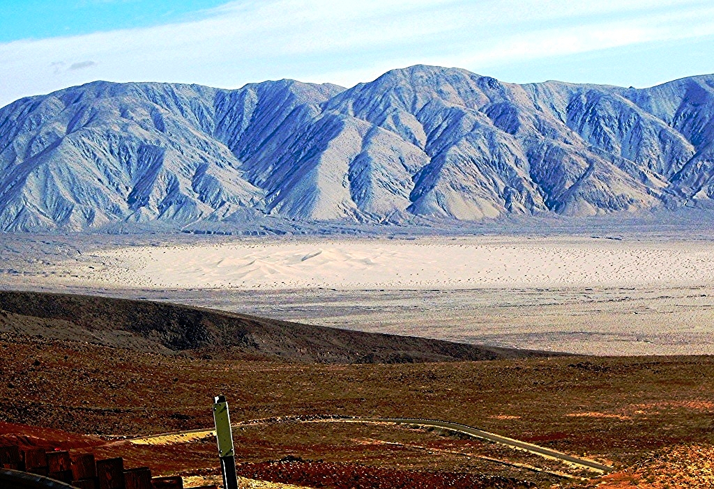
Aerial View of Nevada (Nye County)
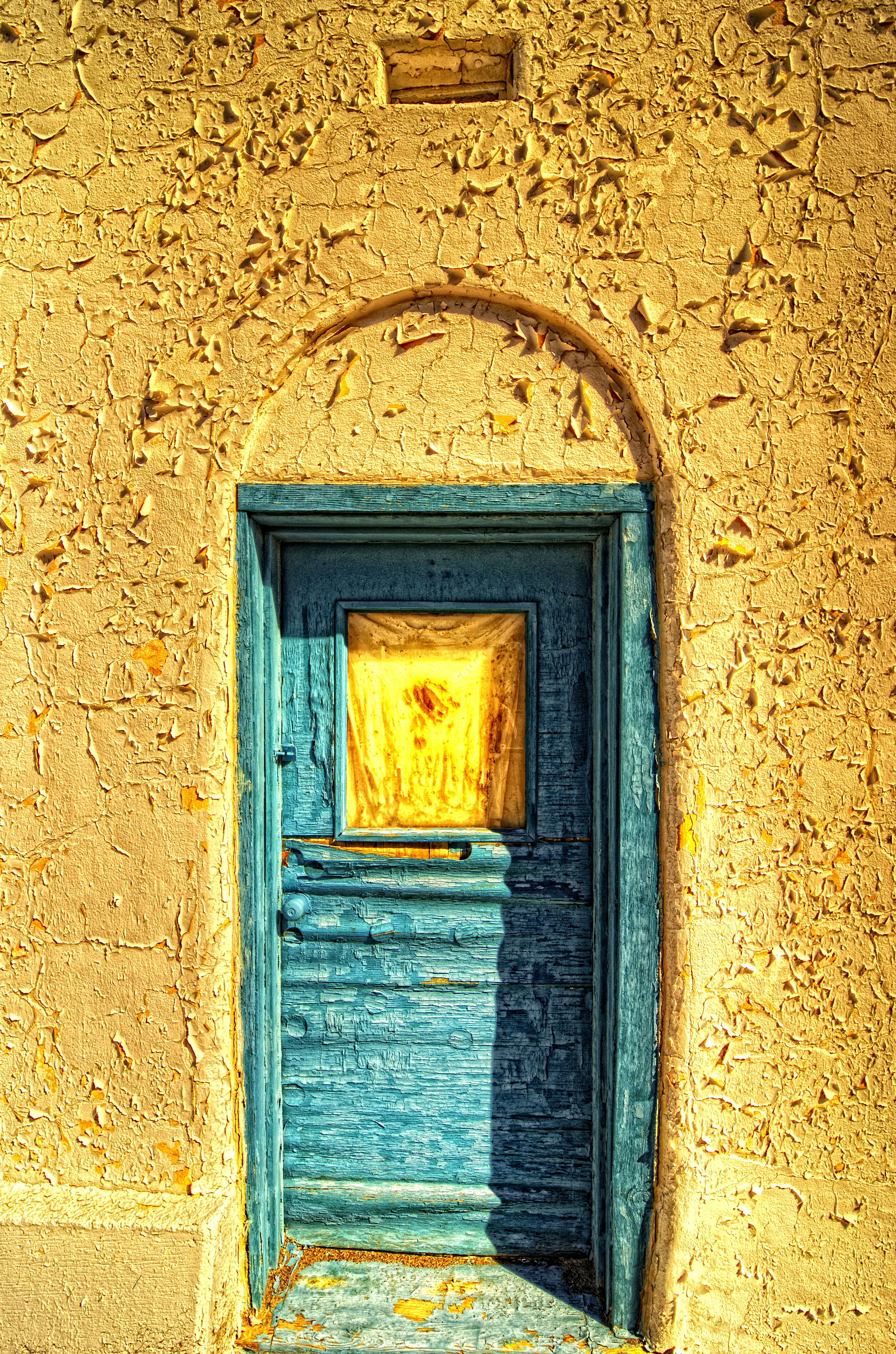
Amragosa Door
Telescope Peak, Dantes View, Death Valley National Park, CA
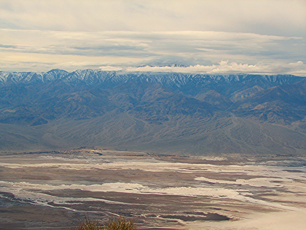
Dante's View, Death Valley National Park, CA
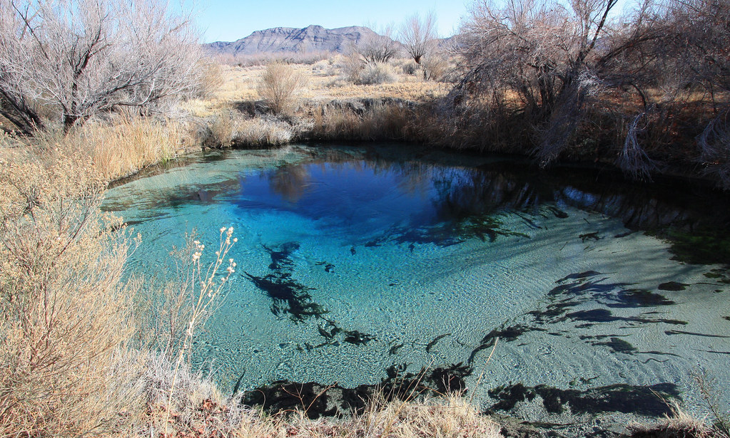
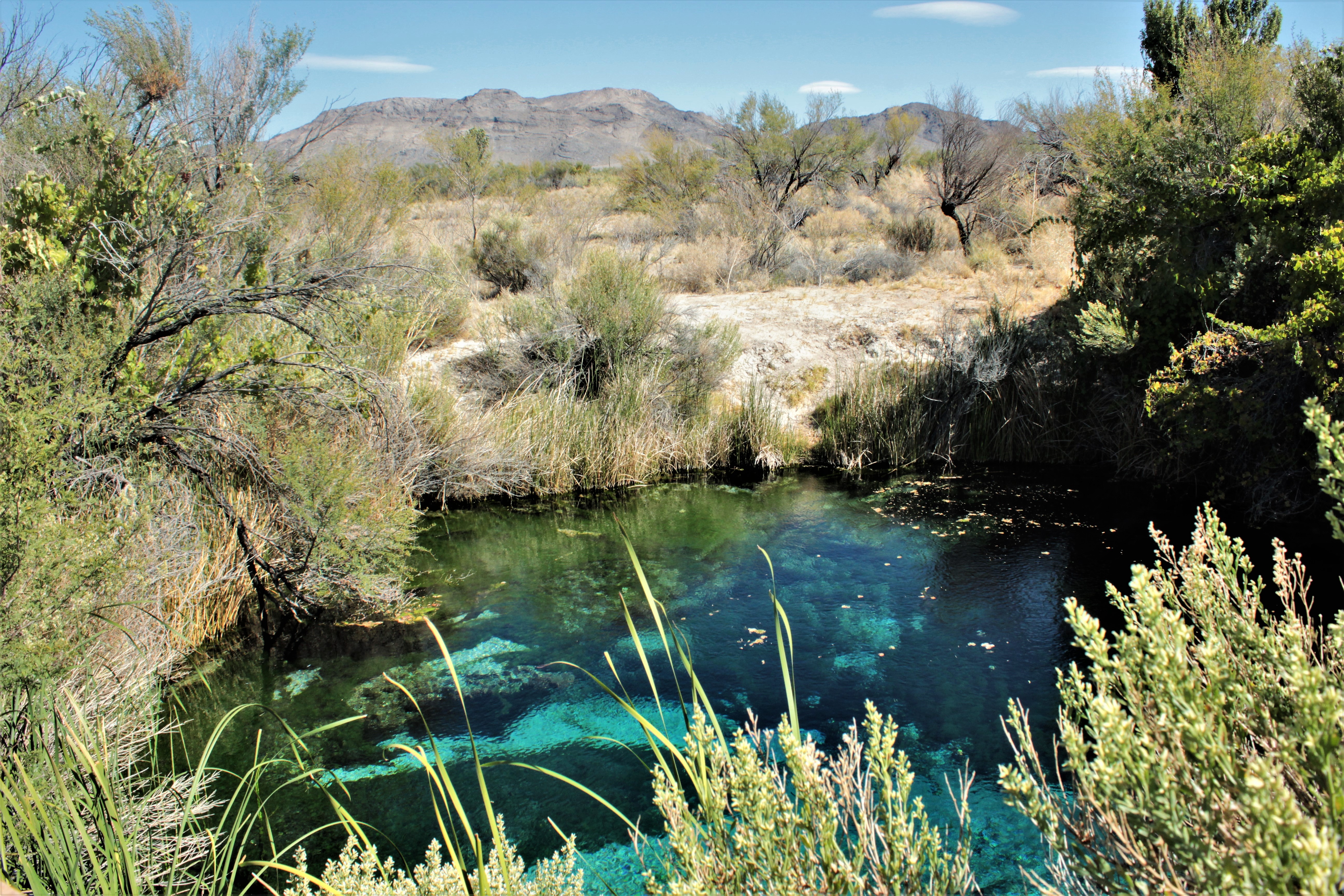
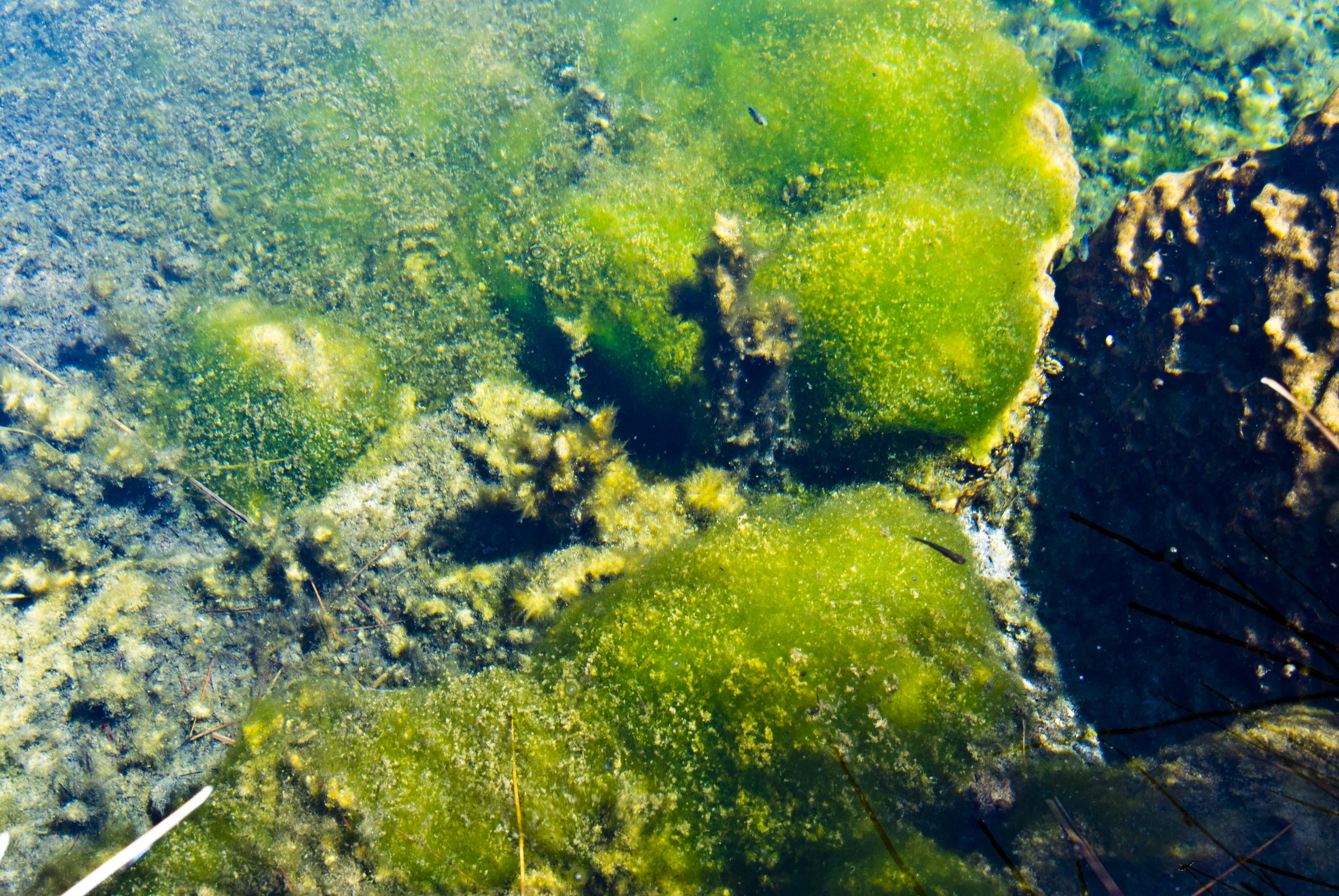
crystal spring wide
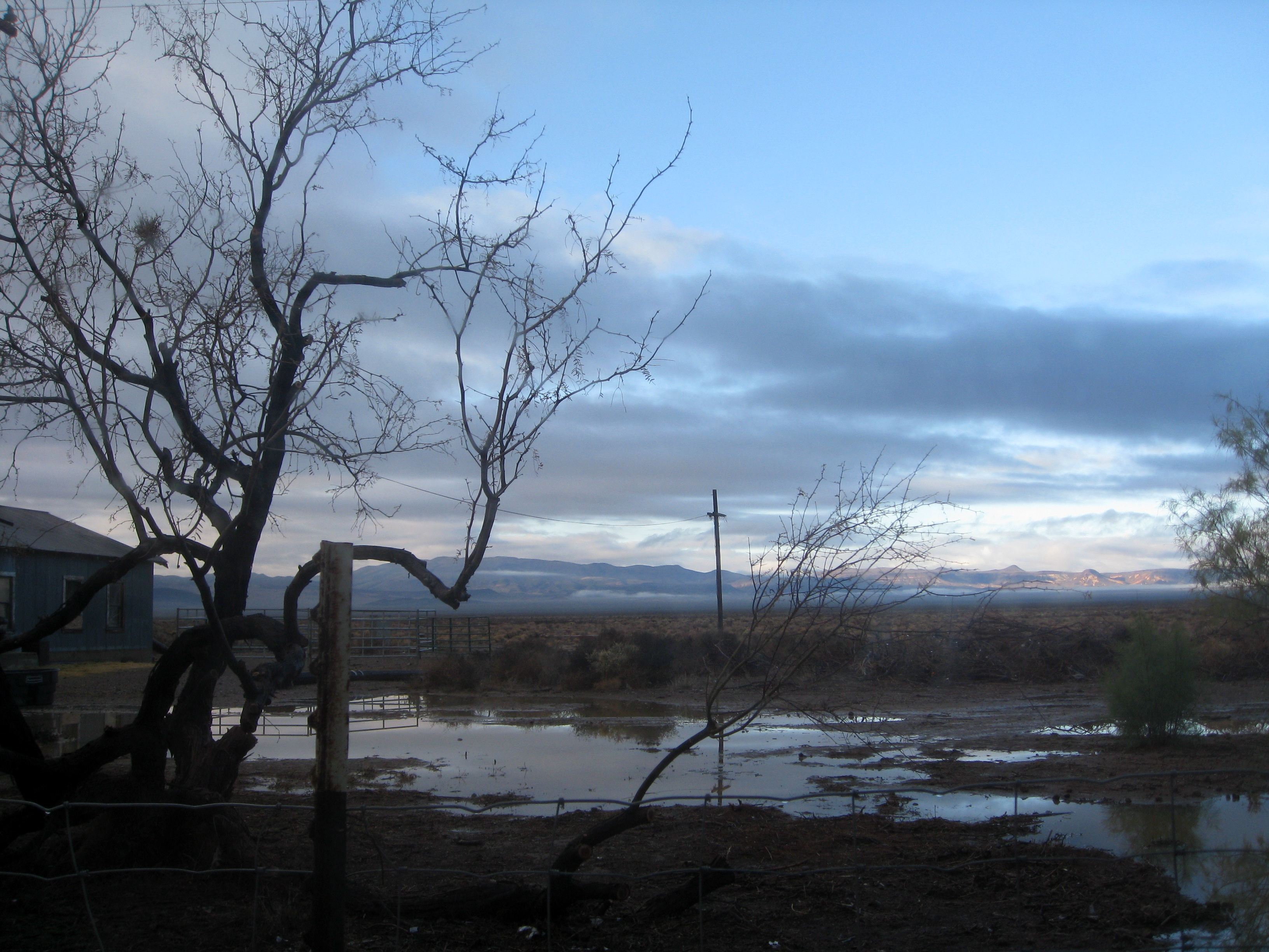
View from my window

Back of Hotel
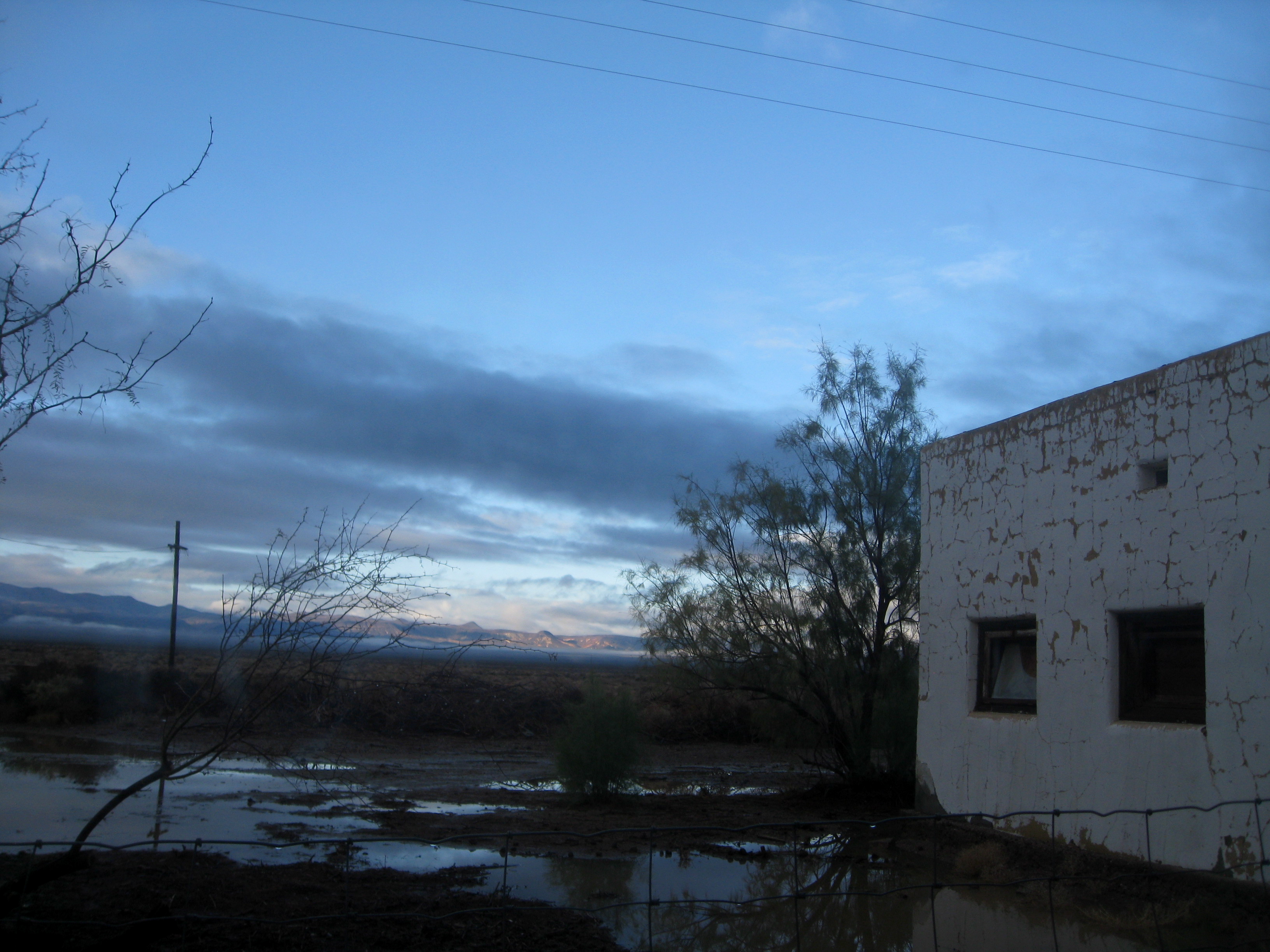
View from my window
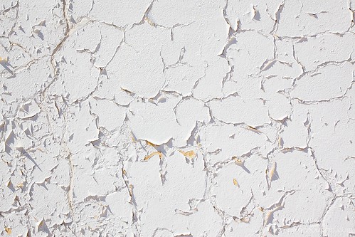
amargosa stucco wall...
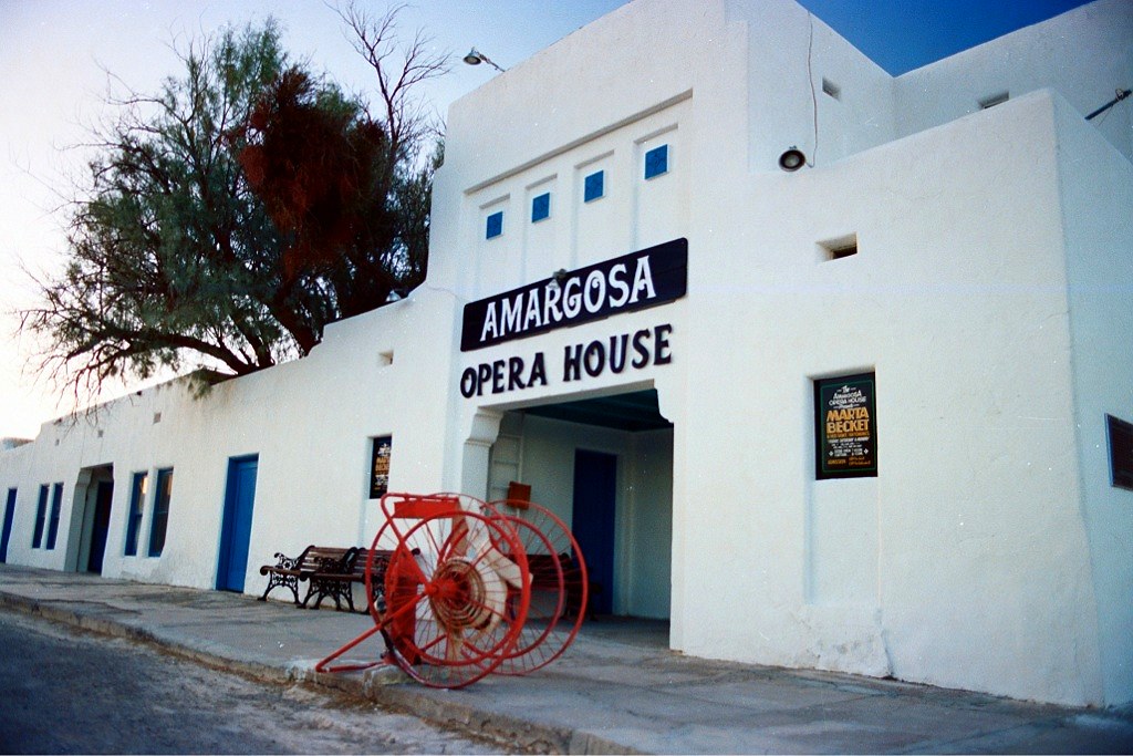
Amargosa Opera House
Camino de la muerte... en el Valle de la Muerte. 52 grados.
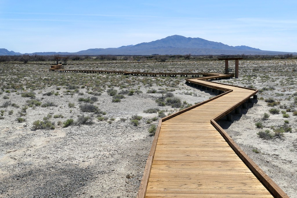
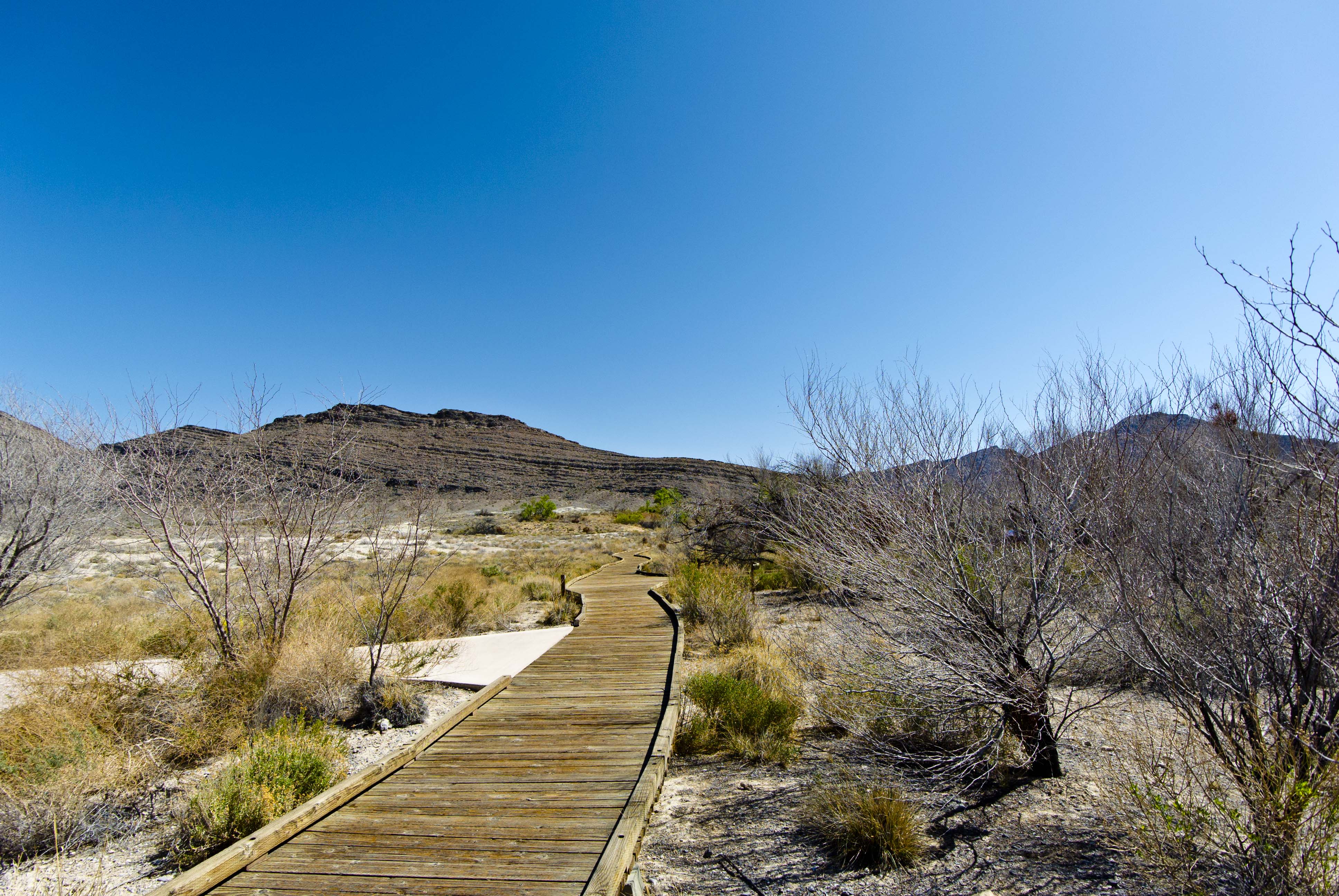
The boardwalk makes a loop through the wetland

Front of Hotel
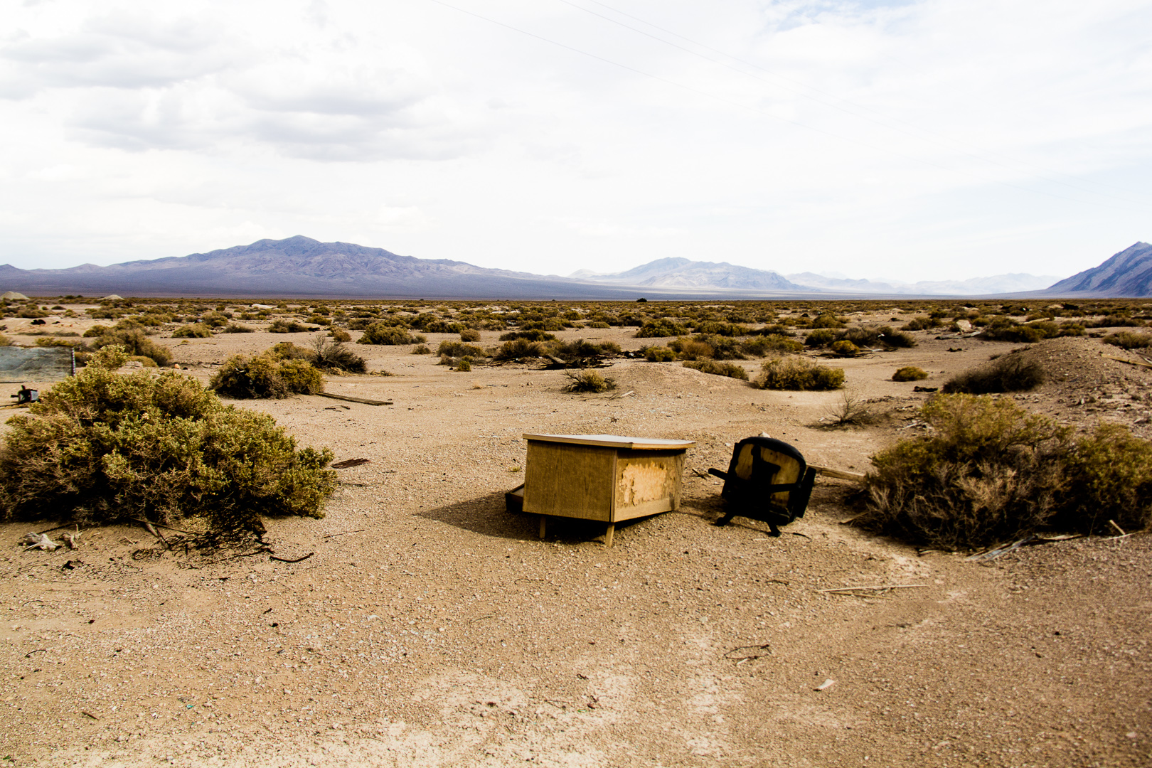
Office with a view
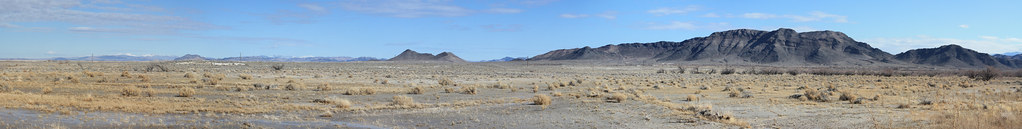
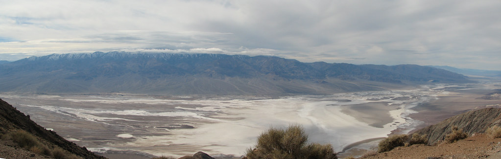
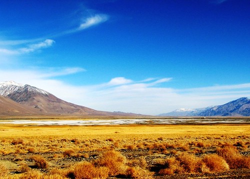
ash meadows view pano
Ash Medows National Wildlife Refuge near Pahrump, Nevada
Death Valley National Park, CA
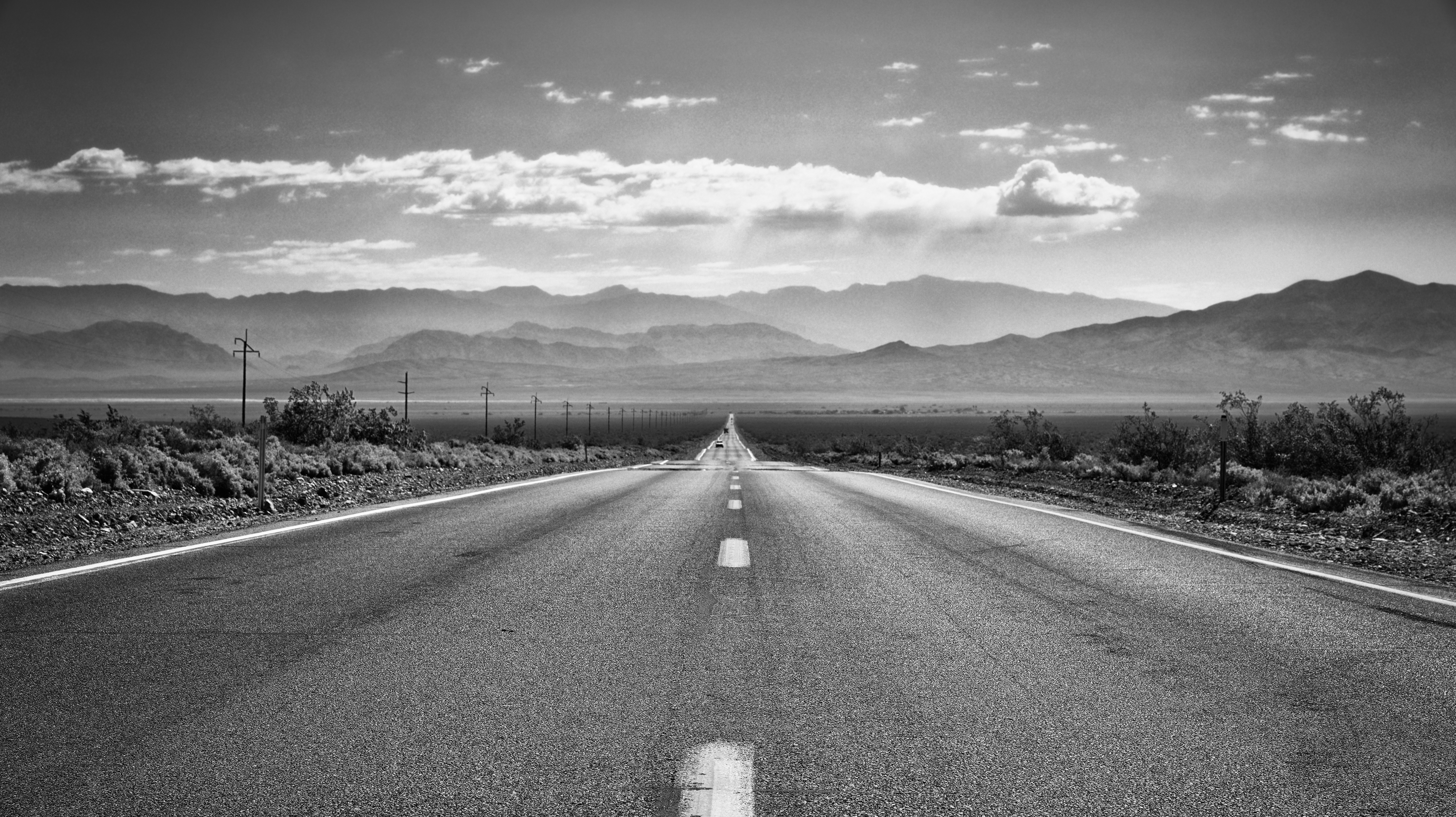
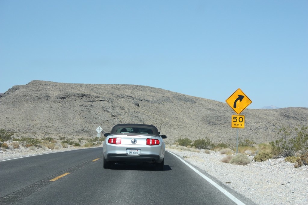
Standing in the Middle of a California Highway (Black & White)

lonesome bovine. amargosa valley, nv. 2016.
Spring at Ash Meadows Wildlife Refuge, Nevada
Desert Flowers

Amargosa Sunrise
DVNP - 021
DVNP - 023
Death Valley National Park 死亡谷國家公園
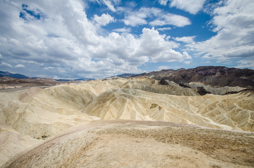
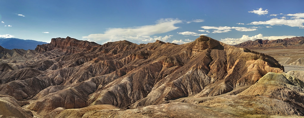
Zabriskie Point - Death Valley National Park
DVNP - 010
DVNP - 022
DVNP - 018
Panamint Butte, Death Valley National Park, CA
IMG_0416 Stitch
Zobriskie Point, Death Valley, CA/NV
Death Valley National Park, CA
Panamint Dunes, Death Valley NP, CA
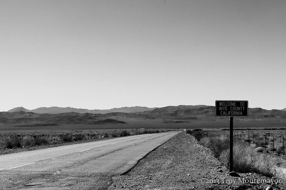
State Line, Inyo County, CA
Topographic Map of NV-, Amargosa Valley, NV, USA
Find elevation by address:

Places near NV-, Amargosa Valley, NV, USA:
Death Valley Junction
Pyramid Peak
Ash Meadows Road
Ryan
Ryan Rd, DEATH VALLEY, CA, USA
4840 Mack Ct
4601 Cabo St
2791 Cabo St
2473 Balzar St
Palm Dr & N Majestic View
2190 N Sparky St
1891 W Carrol St
3150 W Mesquite Ave
1340 W Bluebird Ave
1420 Landmark Ave
2920 Hardy Ln
430 W Nopah Vista Ave
1245 Ashley Ct
Leslie
2450 W Charleston Park Ave
Recent Searches:
- Elevation of Foligno, Province of Perugia, Italy
- Elevation of Blauwestad, Netherlands
- Elevation of Bella Terra Blvd, Estero, FL, USA
- Elevation of Estates Loop, Priest River, ID, USA
- Elevation of Woodland Oak Pl, Thousand Oaks, CA, USA
- Elevation of Brownsdale Rd, Renfrew, PA, USA
- Elevation of Corcoran Ln, Suffolk, VA, USA
- Elevation of Mamala II, Sariaya, Quezon, Philippines
- Elevation of Sarangdanda, Nepal
- Elevation of 7 Waterfall Way, Tomball, TX, USA