Elevation map of Nuflo de Chavez, Bolivia
Location: Bolivia > Santa Cruz Department >
Longitude: -62.216697
Latitude: -15.811967
Elevation: 408m / 1339feet
Barometric Pressure: 97KPa
Elevation Map:
Satellite Map:
Related Photos:
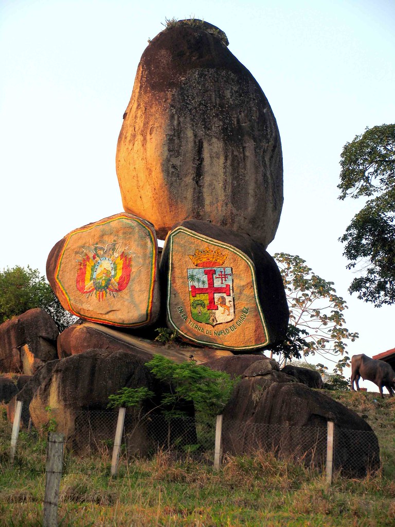
Concepción - Santa Cruz, Bolivia LAS PIEDRAS DE PAQUIÓ

San José de Chiquitos, Bolivia. Subida a mirador Ñuflo de Chávez.
Topographic Map of Nuflo de Chavez, Bolivia
Find elevation by address:

Places in Nuflo de Chavez, Bolivia:
Places near Nuflo de Chavez, Bolivia:
Recent Searches:
- Elevation of Estates Loop, Priest River, ID, USA
- Elevation of Woodland Oak Pl, Thousand Oaks, CA, USA
- Elevation of Brownsdale Rd, Renfrew, PA, USA
- Elevation of Corcoran Ln, Suffolk, VA, USA
- Elevation of Mamala II, Sariaya, Quezon, Philippines
- Elevation of Sarangdanda, Nepal
- Elevation of 7 Waterfall Way, Tomball, TX, USA
- Elevation of SW 57th Ave, Portland, OR, USA
- Elevation of Crocker Dr, Vacaville, CA, USA
- Elevation of Pu Ngaol Community Meeting Hall, HWHM+3X7, Krong Saen Monourom, Cambodia