Elevation of Nucla, CO, USA
Location: United States > Colorado > Montrose County >
Longitude: -108.54786
Latitude: 38.2694347
Elevation: 1766m / 5794feet
Barometric Pressure: 82KPa
Elevation Map:
Satellite Map:
Related Photos:
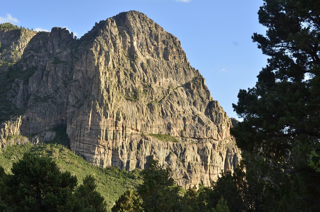
Dome Rock
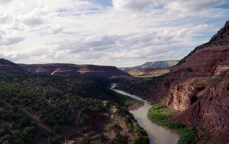
Along the Dolores River (4)

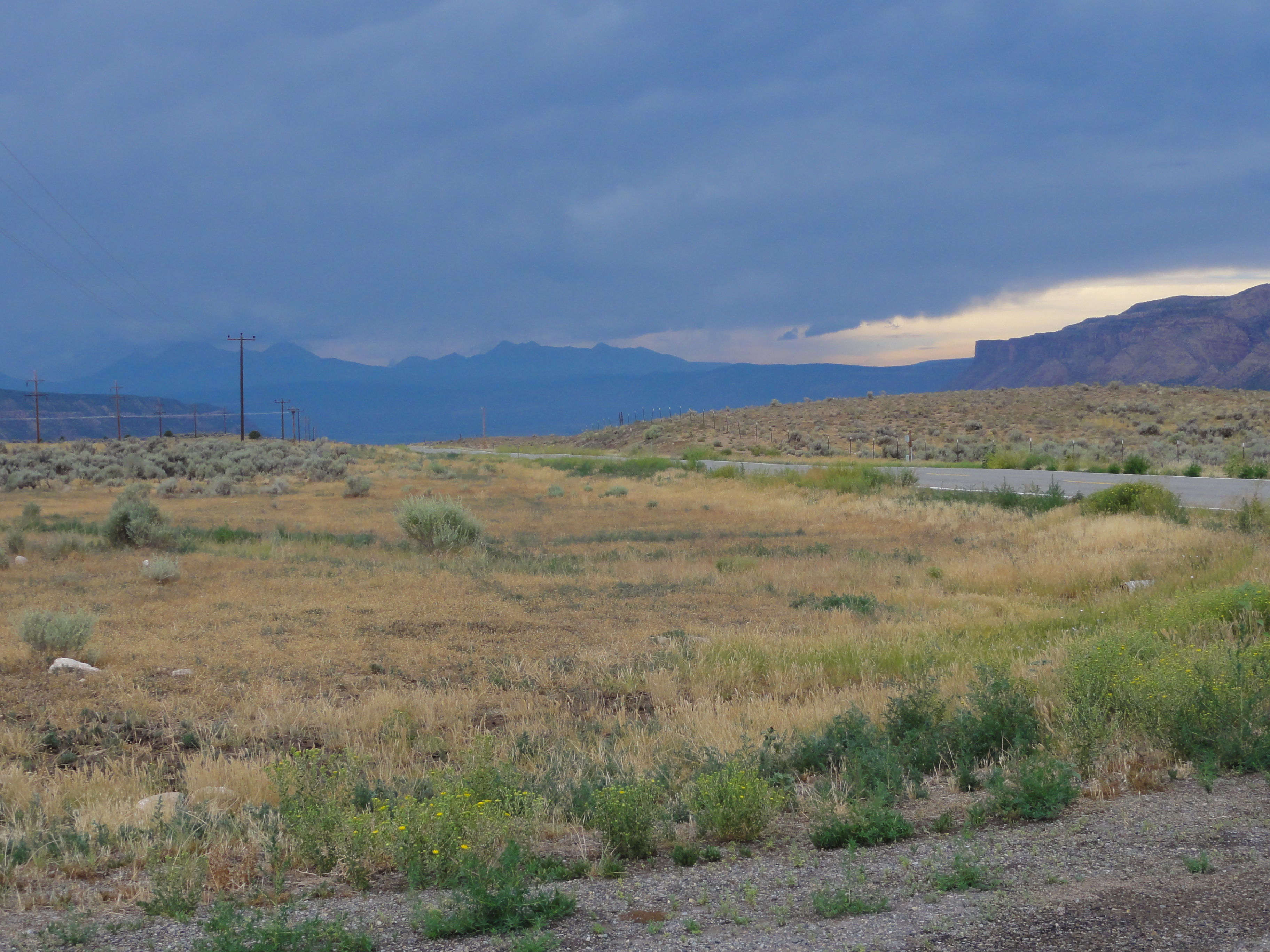
Green and brown
SS-DSC00737
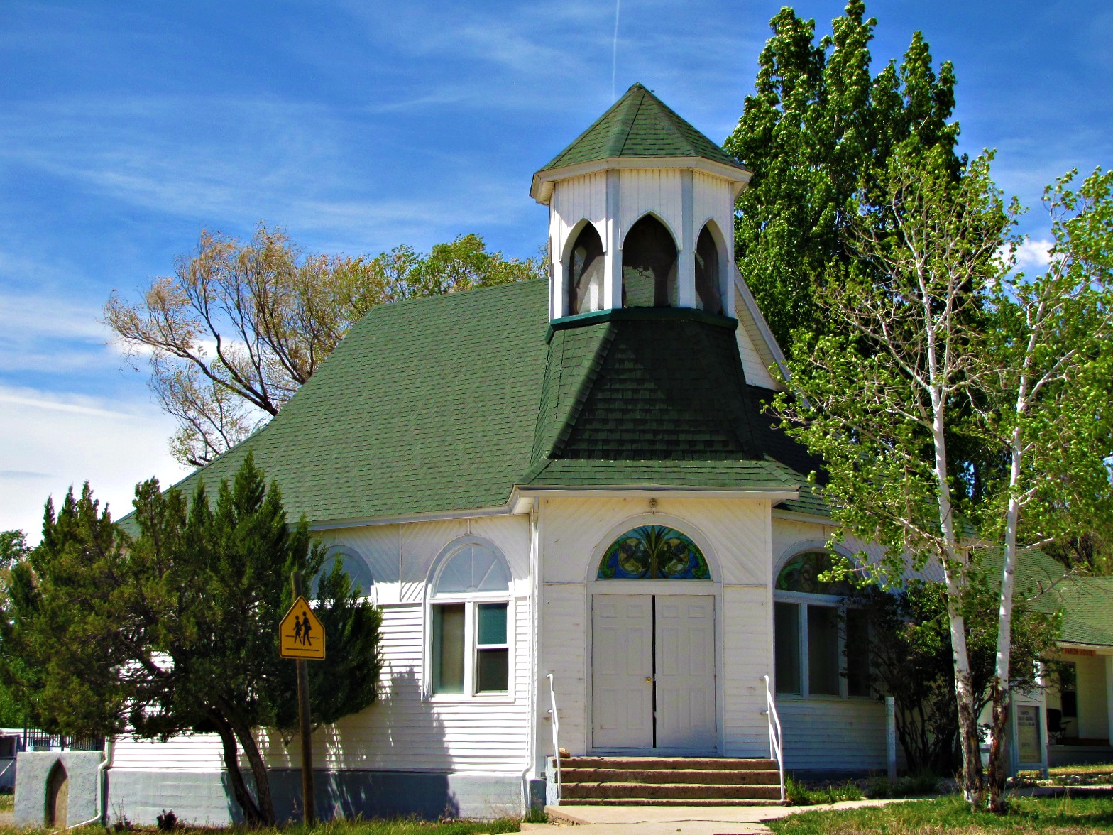
Union Congregational of Nucla

20140606-_MG_0067_kaigradert

IMG_1357.jpg

IMG_1356.jpg
2013-06-01 19.08.48
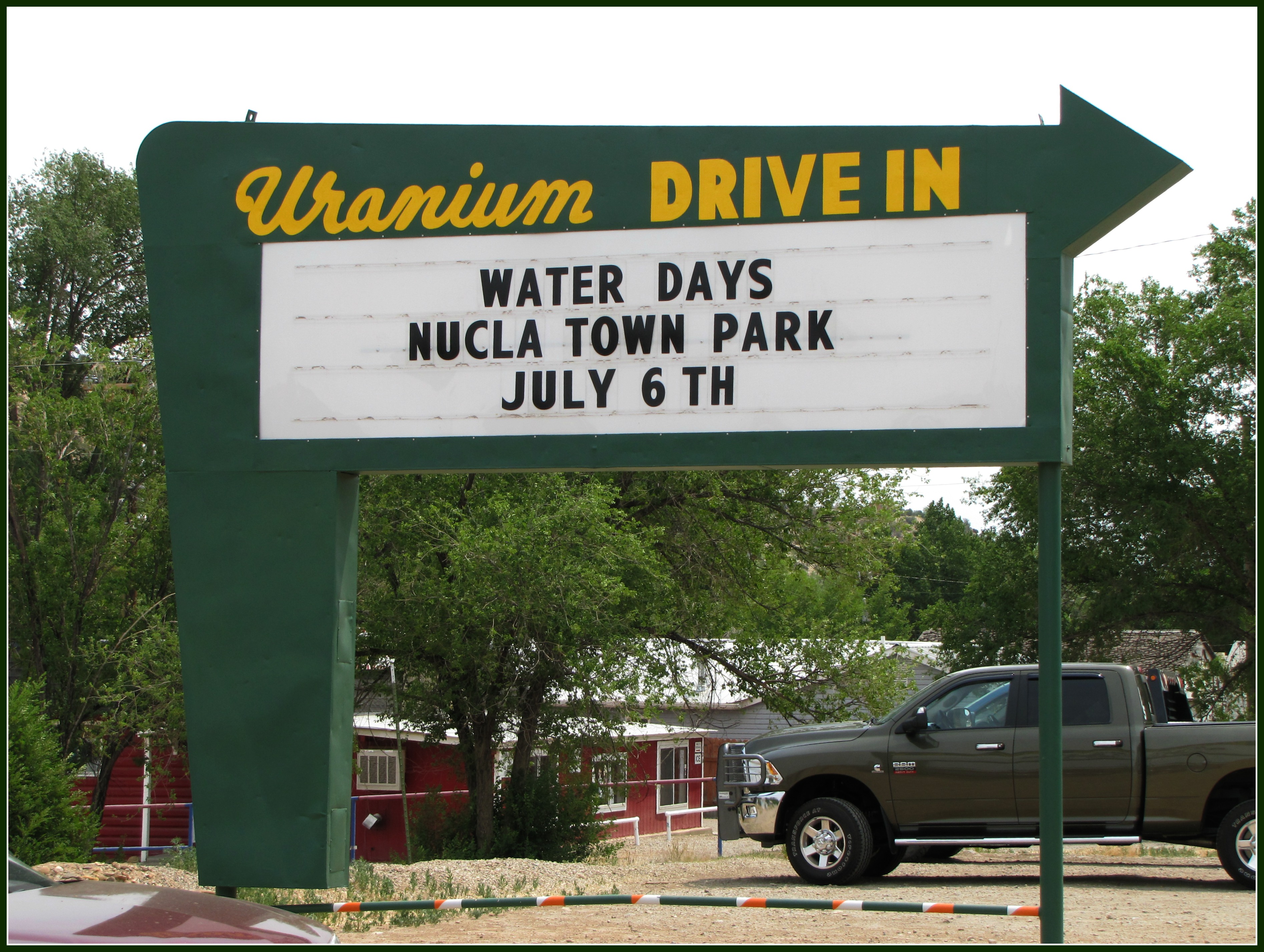
Uranium Drive-In

Redvale, Colorado

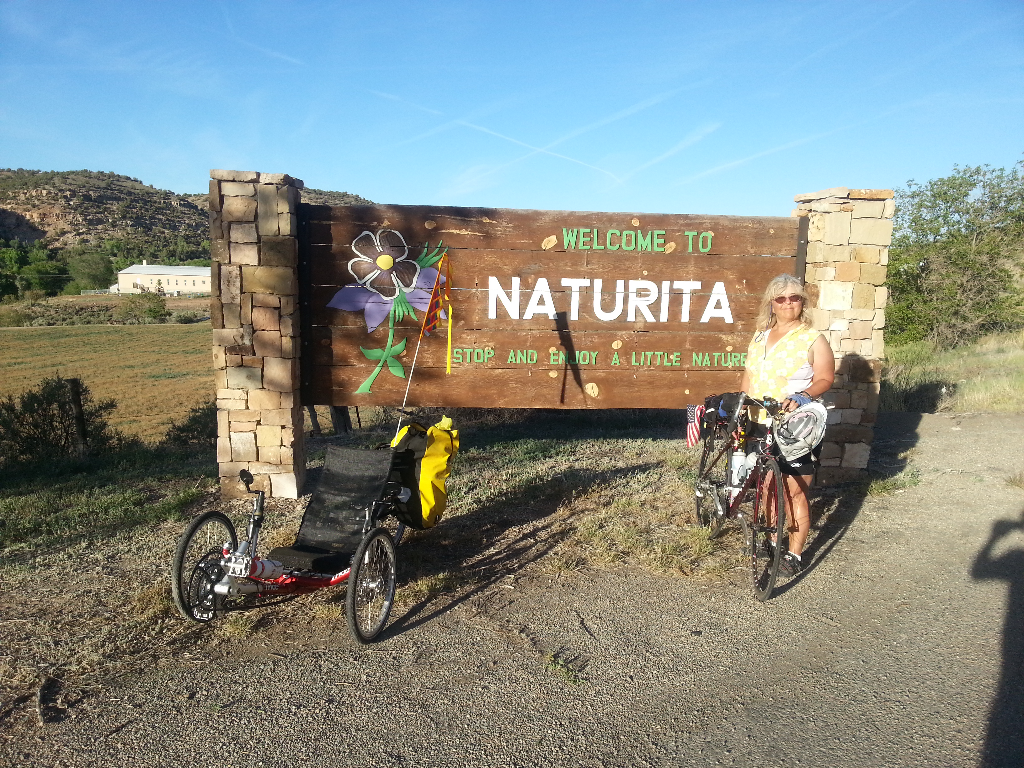
Naturita, Colorado
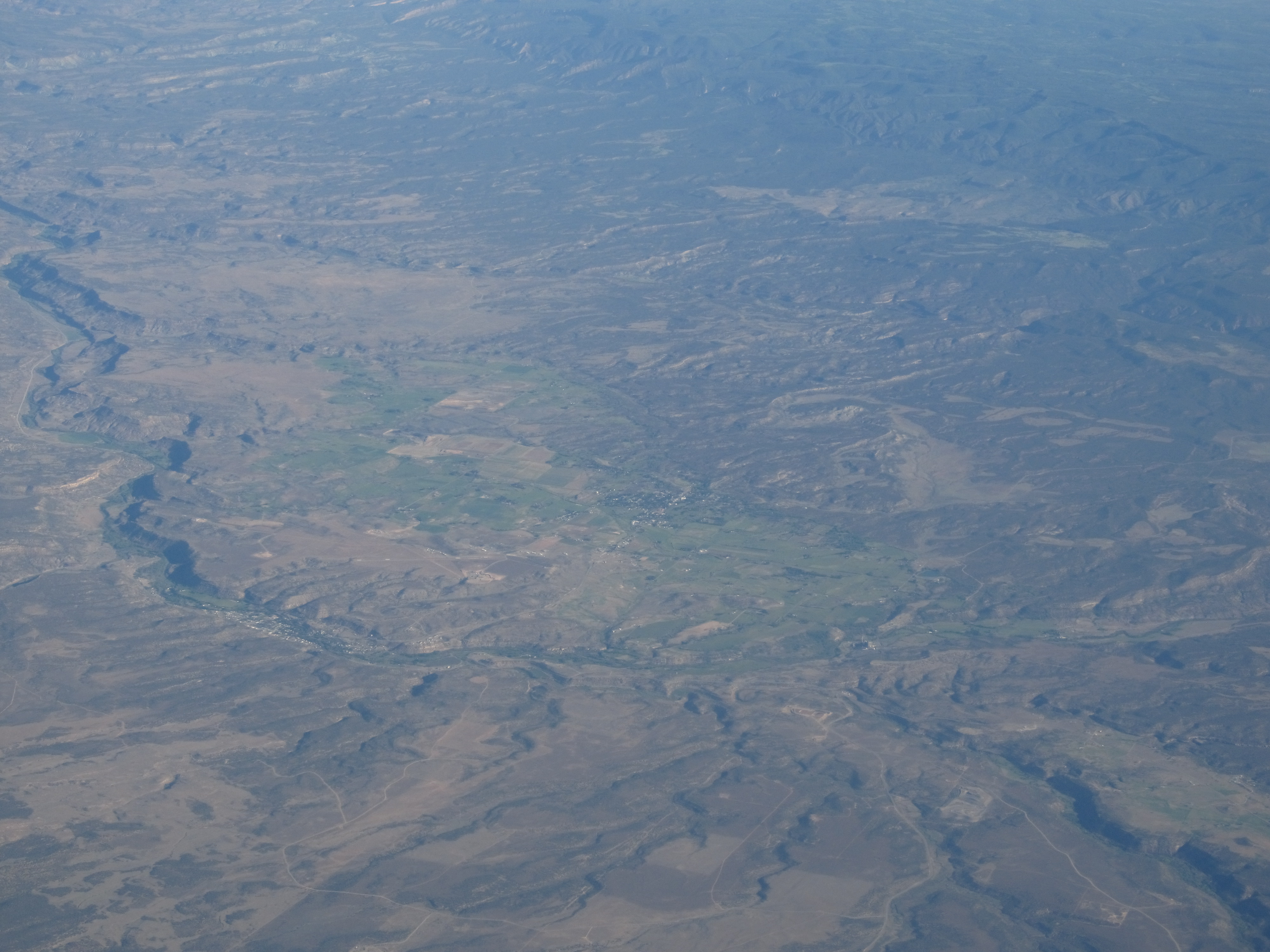
Nucla and Naturita, Colorado

2013-06-01 19.08.48
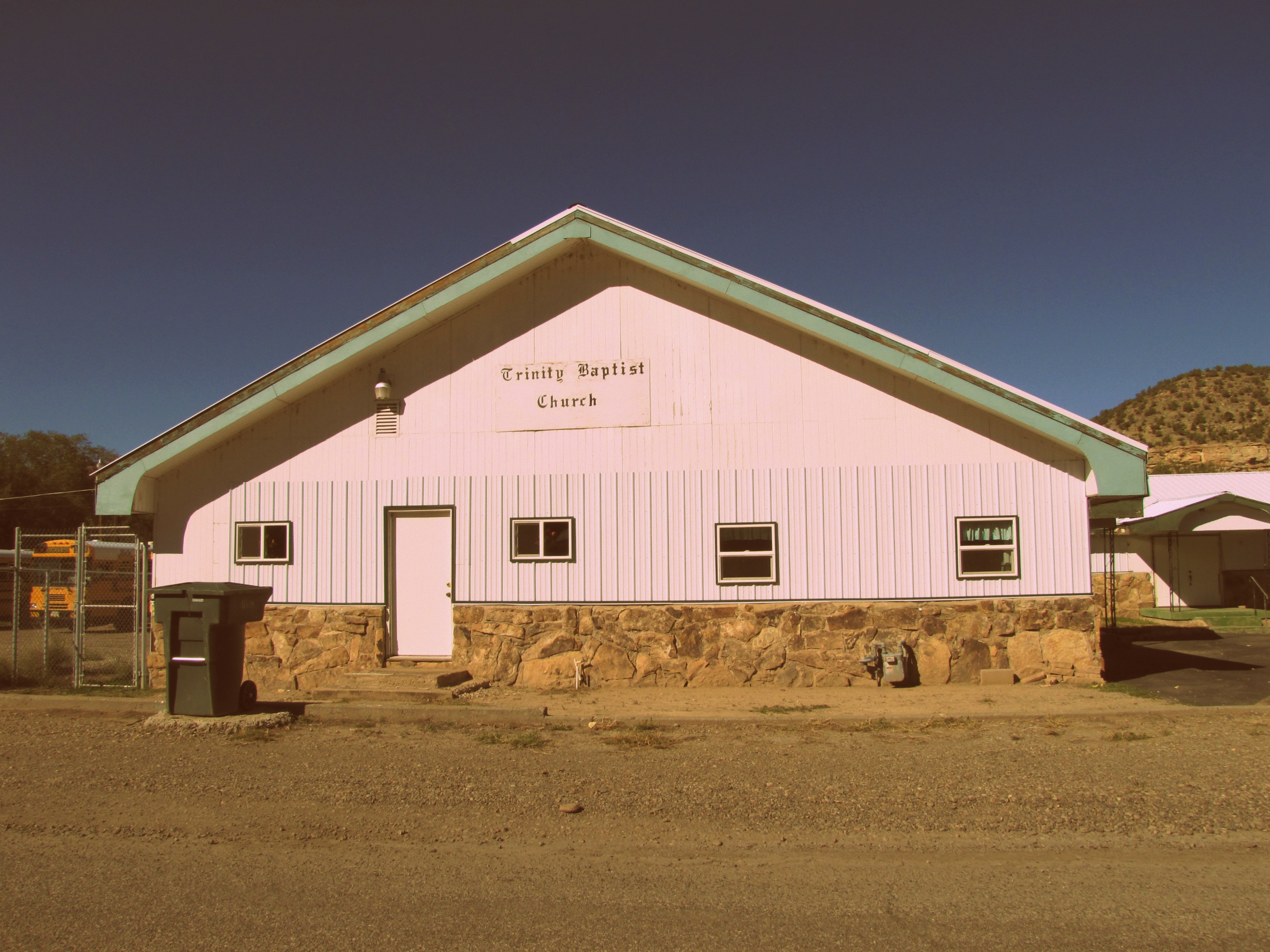
Trinity Baptist Church
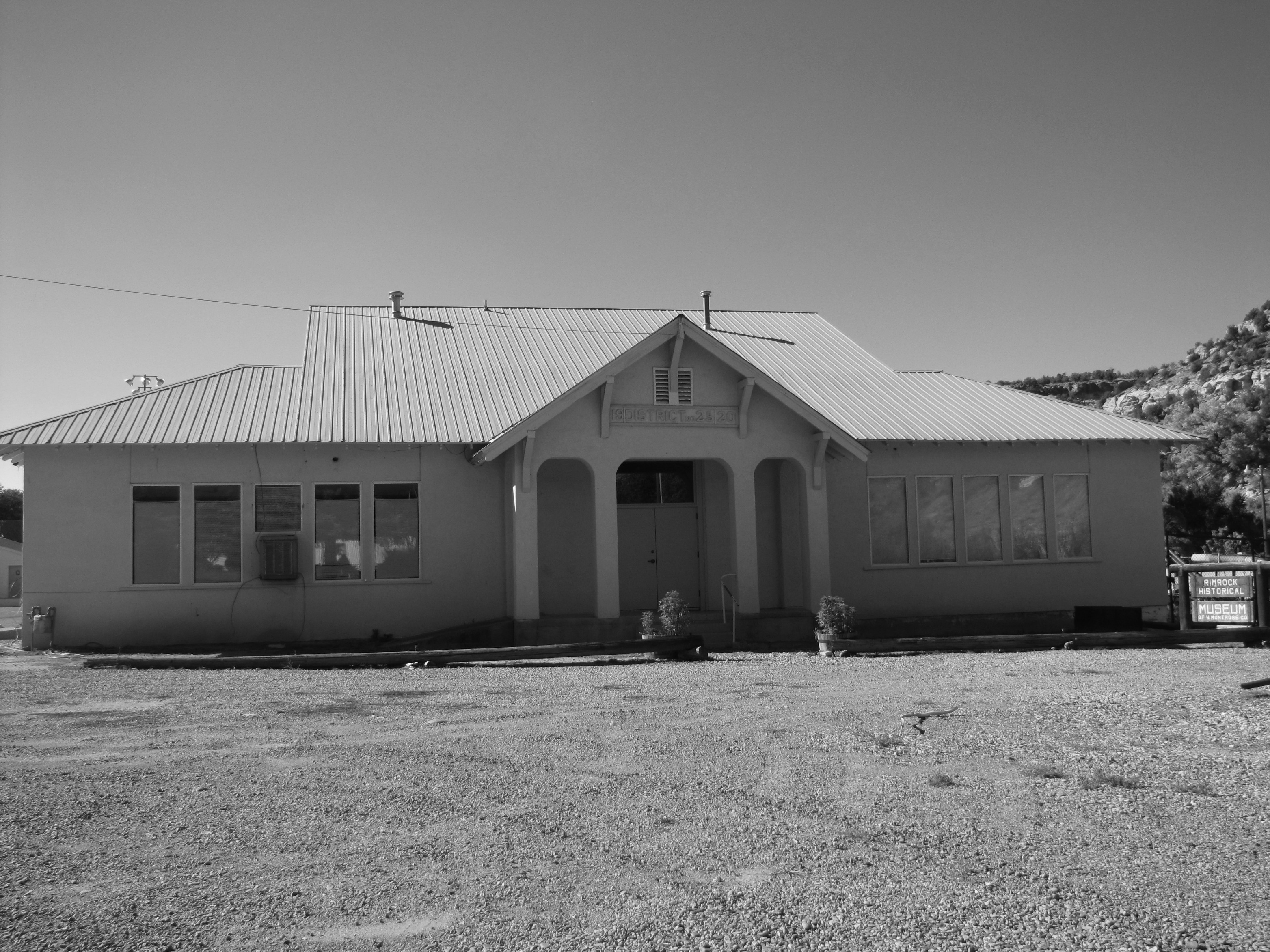
Rimrock Historical Museum (of western Montrose Co.)
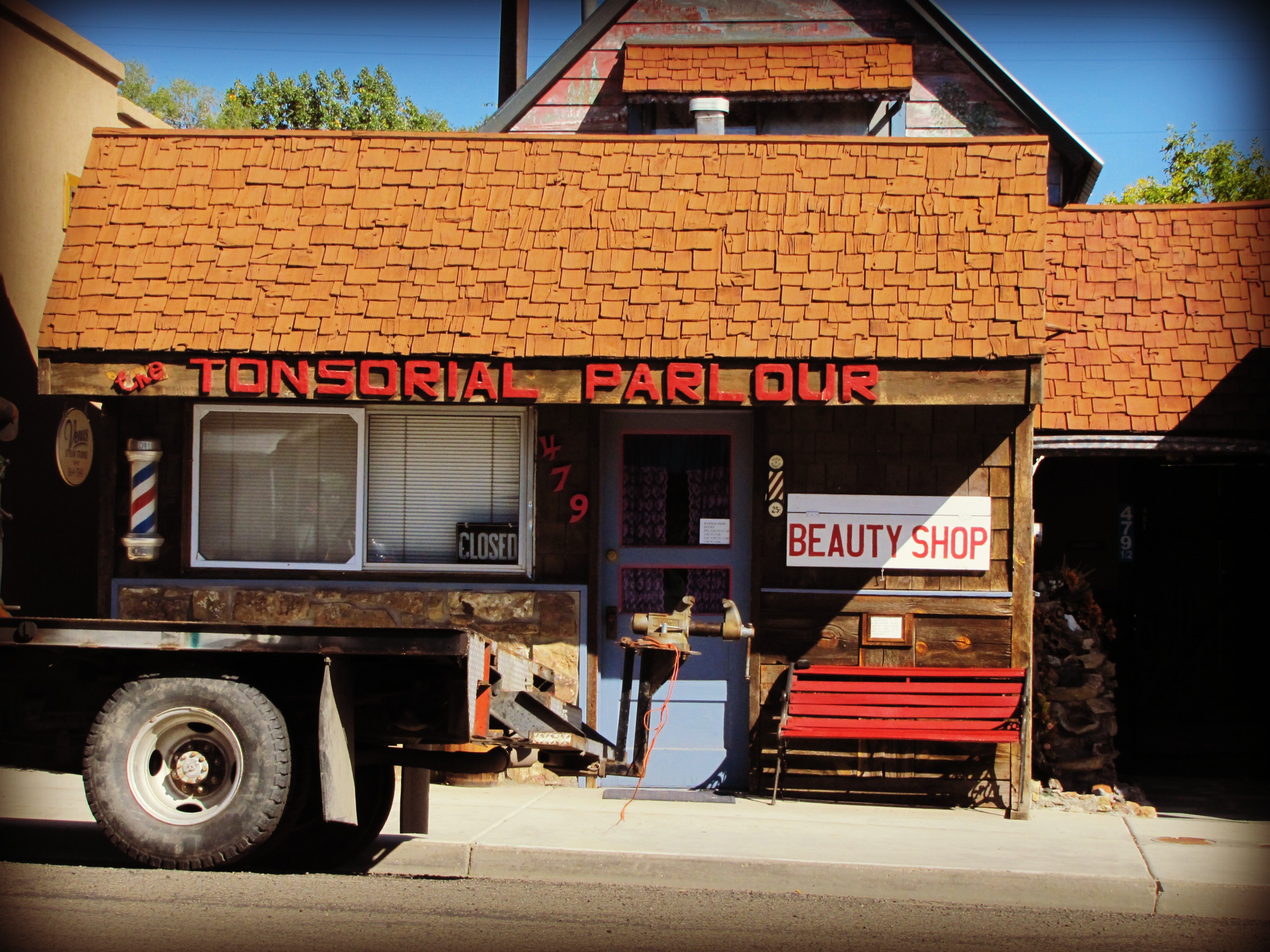
The Tonsorial Parlour
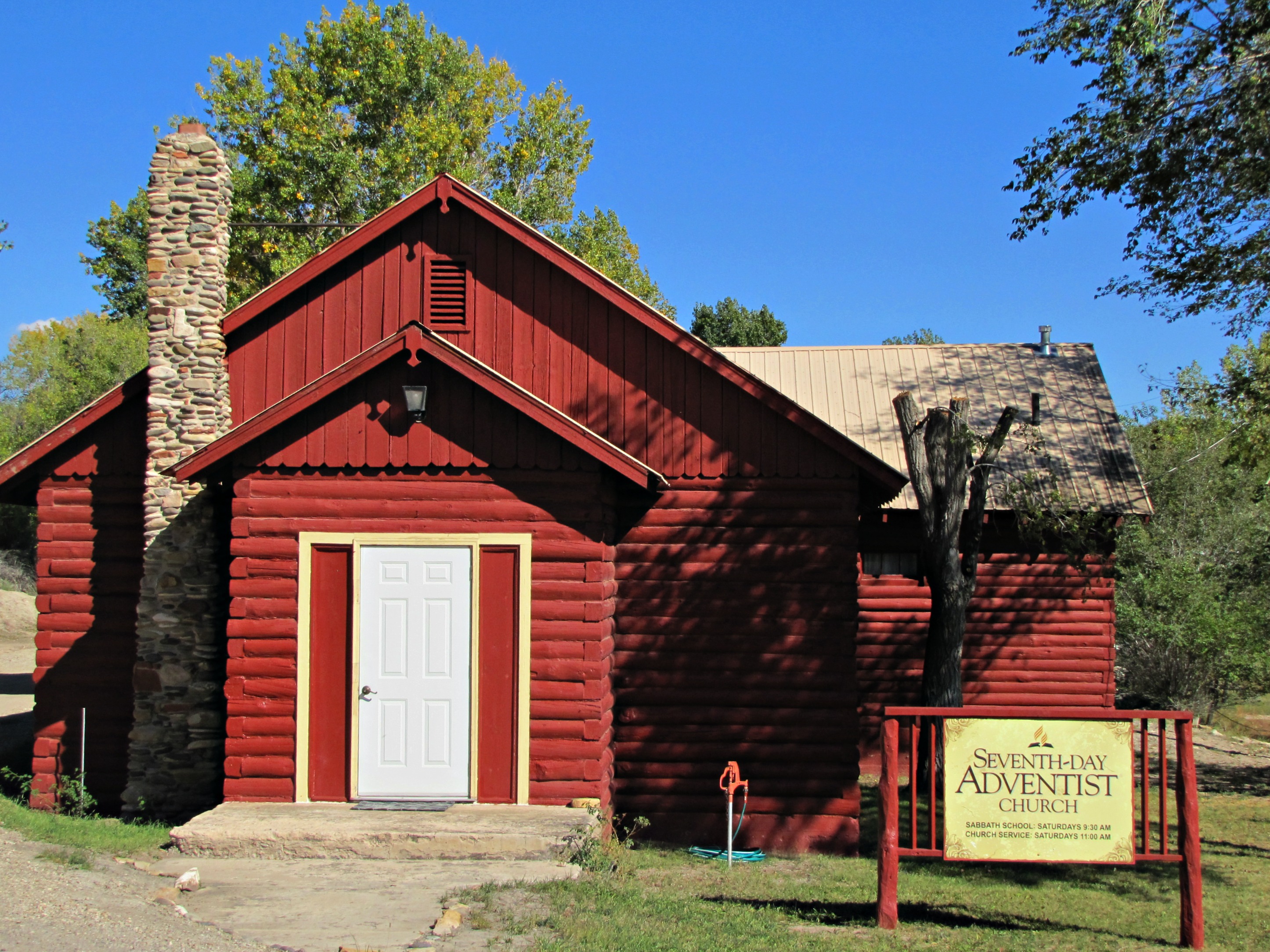
Seventh-Day Adventists in Nucla
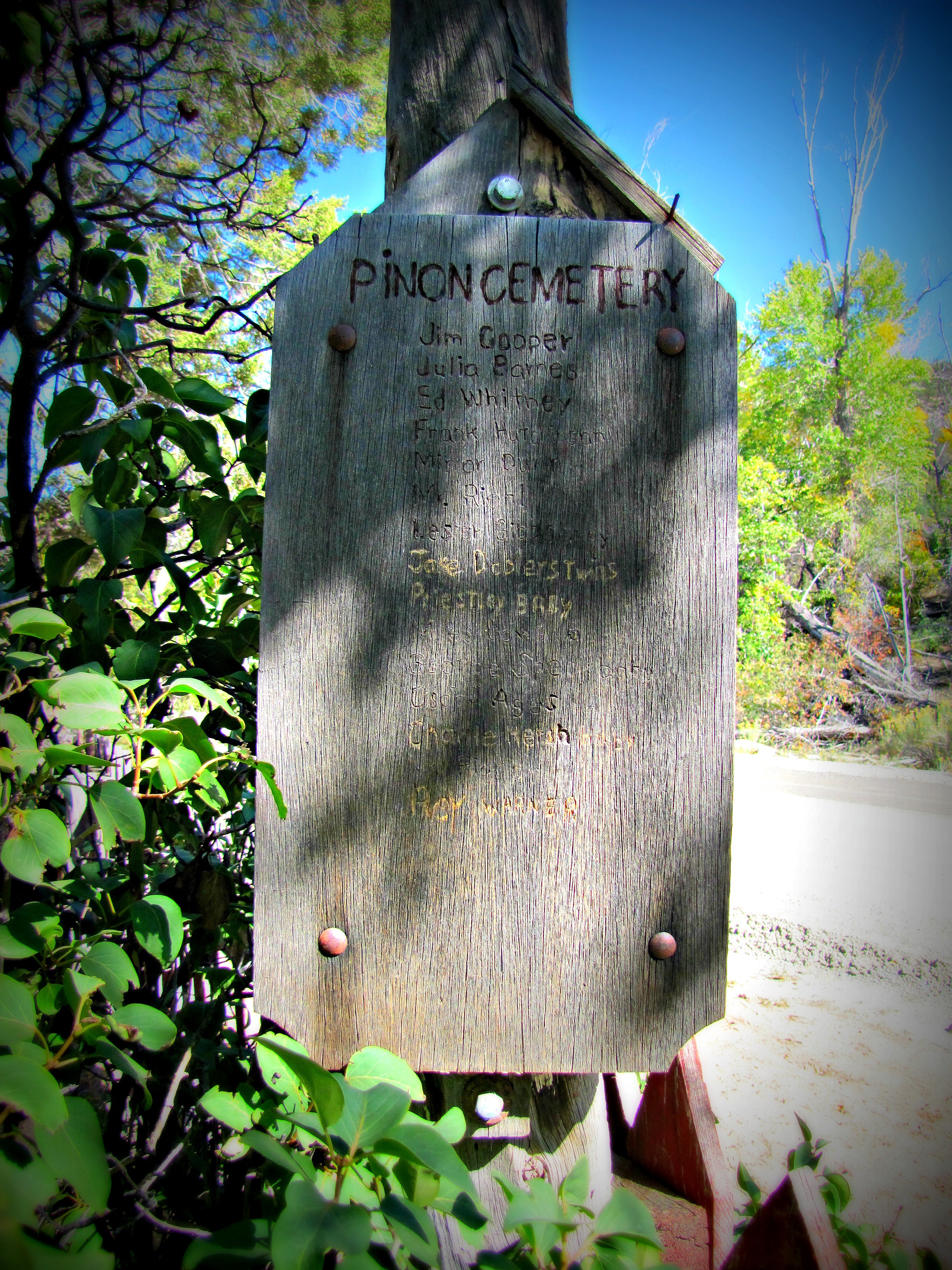
Burial list at Pinon Cemetery

Pioneers at rest 1892-1951

Abandoned homestead at Pinon
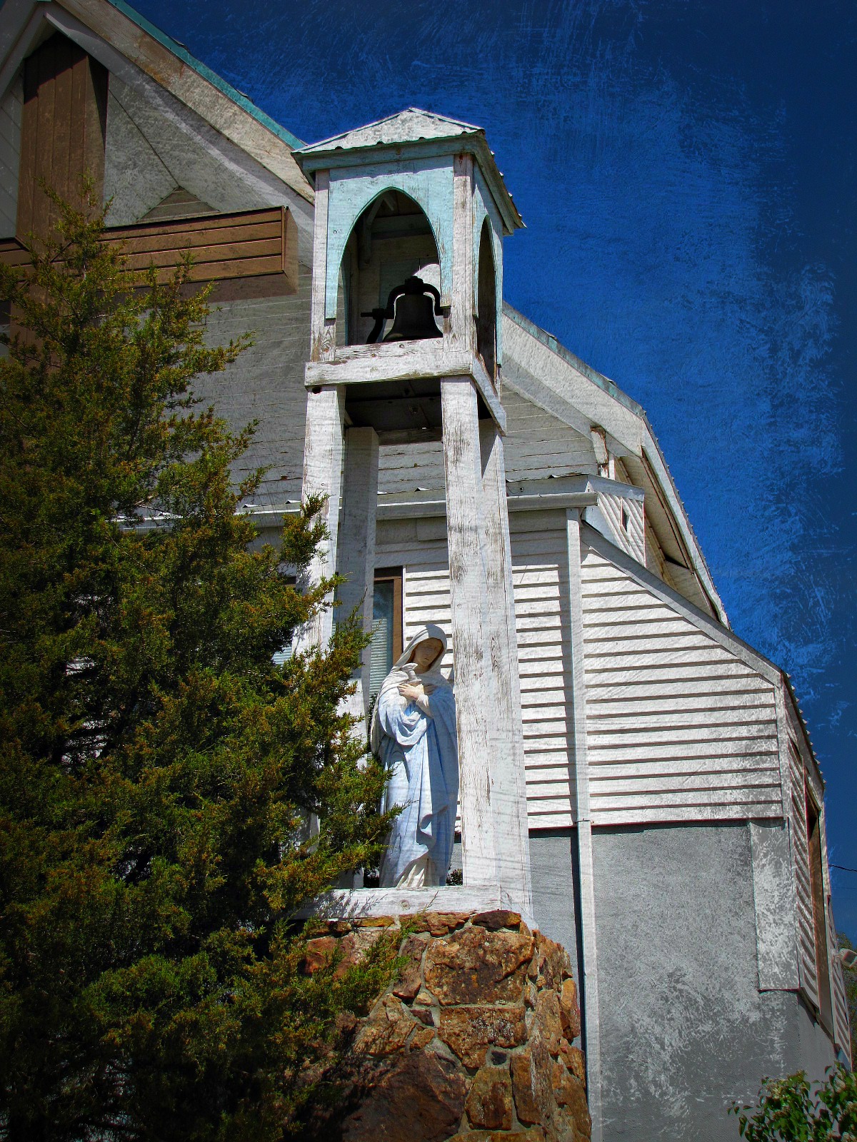
Our Lady of Sorrows (2 of 2)
Topographic Map of Nucla, CO, USA
Find elevation by address:

Places in Nucla, CO, USA:
Places near Nucla, CO, USA:
Payson St, Nucla, CO, USA
33310 Co-141
Rd, Nucla, CO, USA
Redvale
CO-, Redvale, CO, USA
County 31U Rd, Egnar, CO, USA
Norwood
Grand Ave, Norwood, CO, USA
Uncompahgre Butte
Norwood, CO, USA
Dinosaur Quarry Trailhead
Snipe Mountain
Bedrock
L37 Rd, Olathe, CO, USA
Rd, Bedrock, CO, USA
Paradox
Divide Forks Campground
Escalante Creek
Rd, Delta, CO, USA
Rd, Delta, CO, USA
Recent Searches:
- Elevation of Corso Fratelli Cairoli, 35, Macerata MC, Italy
- Elevation of Tallevast Rd, Sarasota, FL, USA
- Elevation of 4th St E, Sonoma, CA, USA
- Elevation of Black Hollow Rd, Pennsdale, PA, USA
- Elevation of Oakland Ave, Williamsport, PA, USA
- Elevation of Pedrógão Grande, Portugal
- Elevation of Klee Dr, Martinsburg, WV, USA
- Elevation of Via Roma, Pieranica CR, Italy
- Elevation of Tavkvetili Mountain, Georgia
- Elevation of Hartfords Bluff Cir, Mt Pleasant, SC, USA