Elevation of Nova Scotia Trunk 8, South Brookfield, NS B0T 1X0, Canada
Location: Canada > Nova Scotia > Region Of Queens > Queens > South Brookfield >
Longitude: -64.957538
Latitude: 44.3432217
Elevation: 87m / 285feet
Barometric Pressure: 100KPa
Elevation Map:
Satellite Map:
Related Photos:
_DSC4952.jpg
_DSC4919.jpg
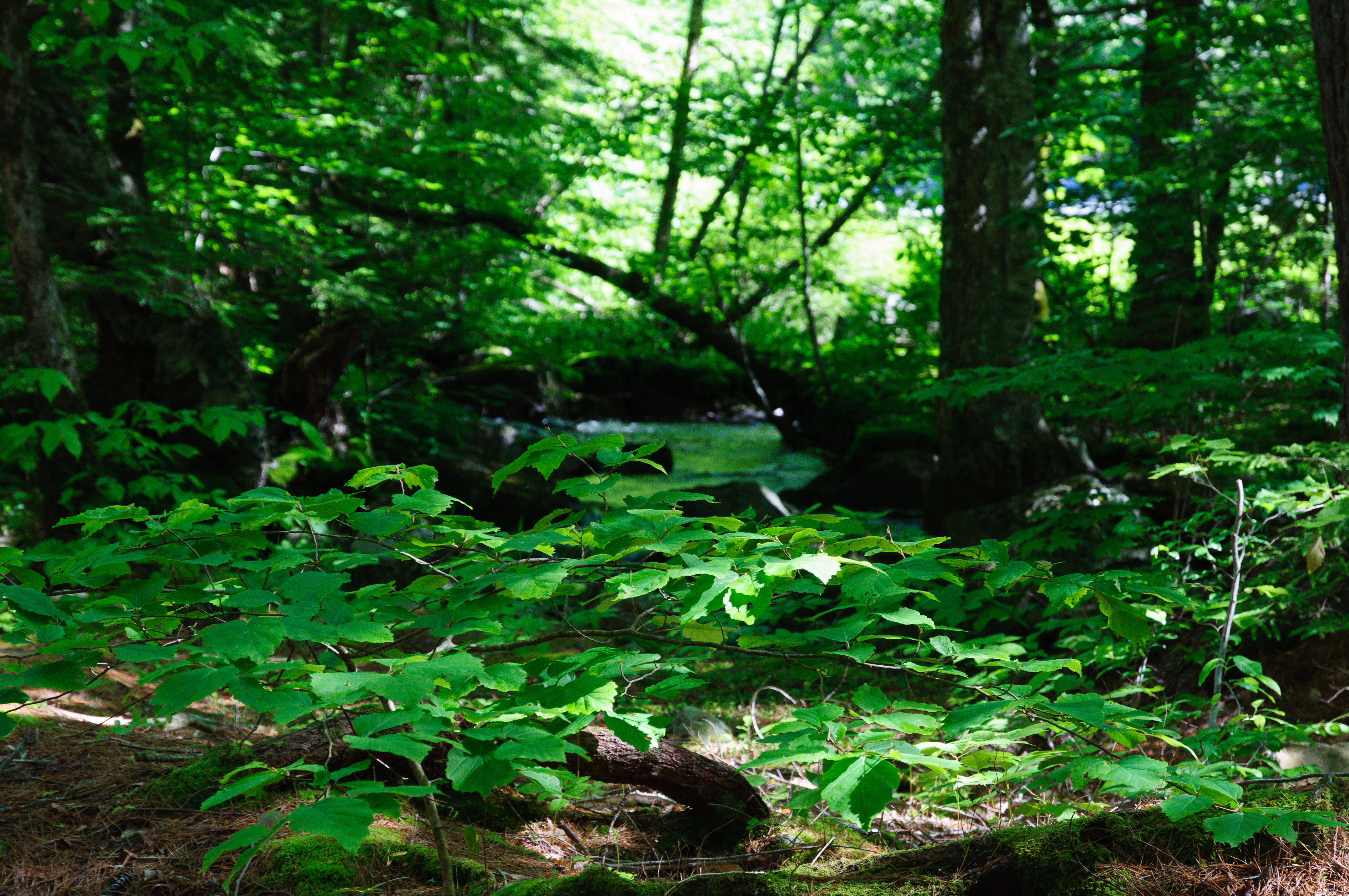
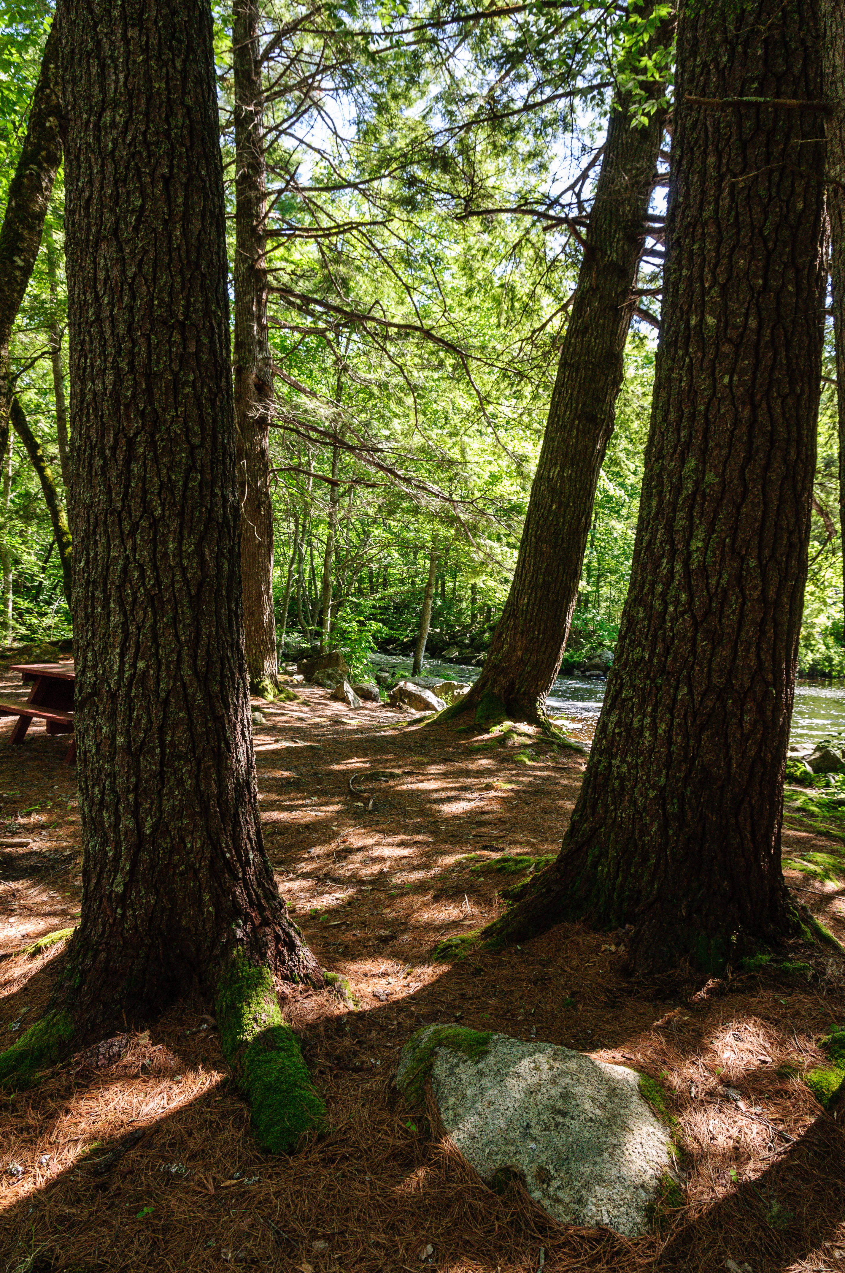
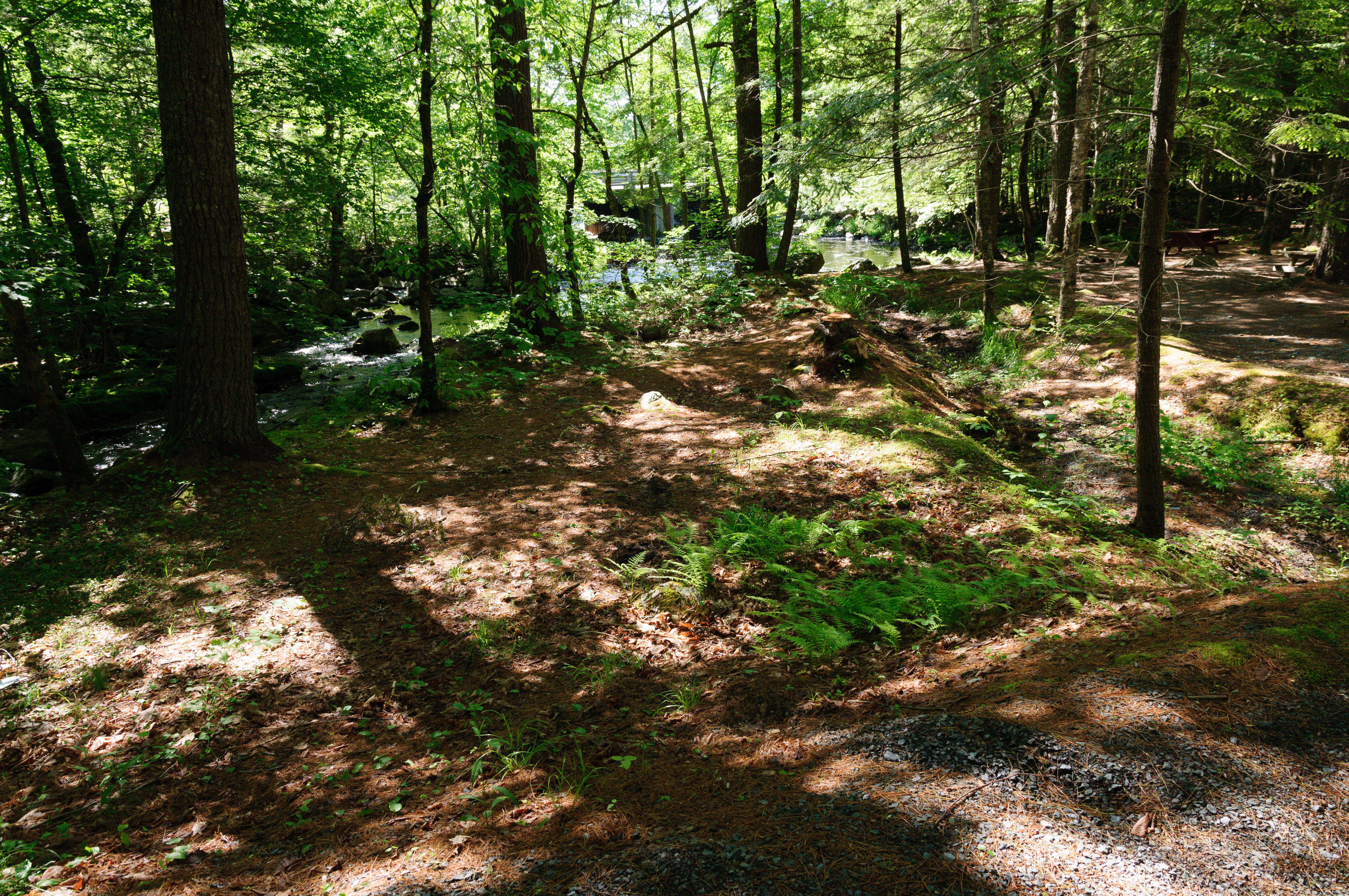
Kejimkujik National Park - Grafton Woods Hiking Trail
_DSC4982.jpg
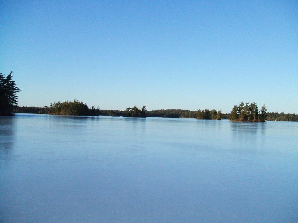
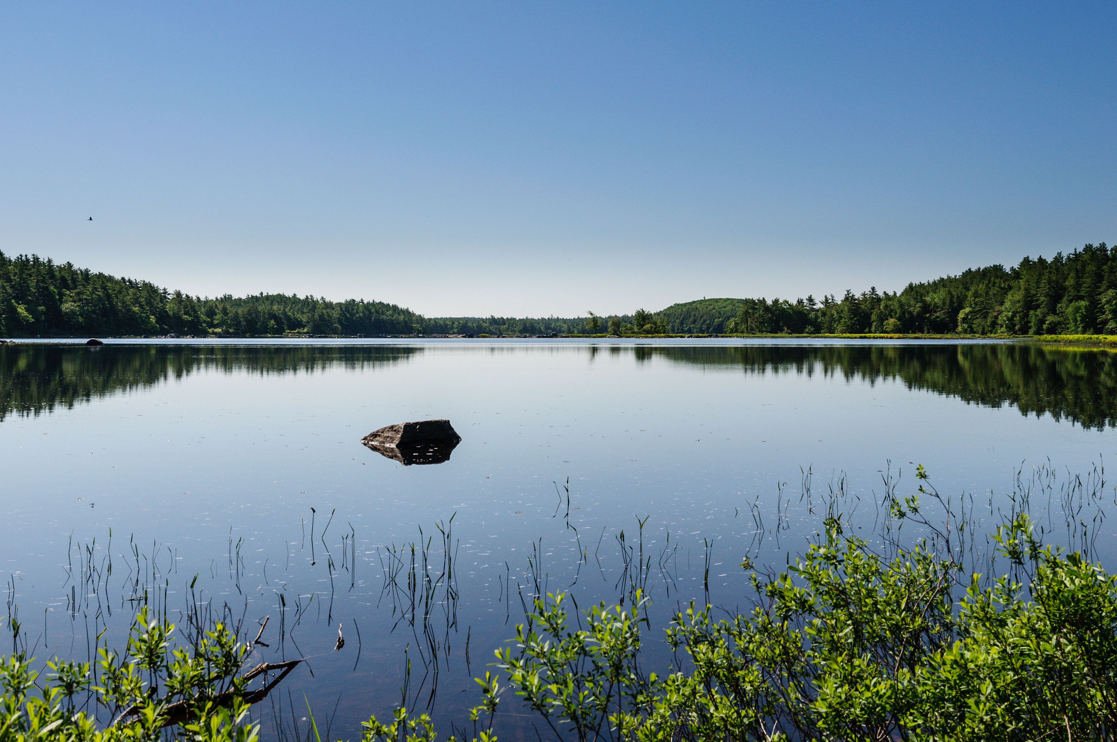
harmony lake
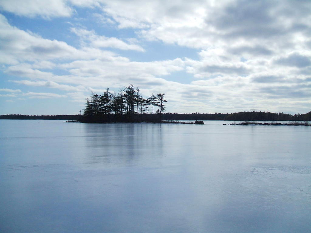
Ponhook Lake

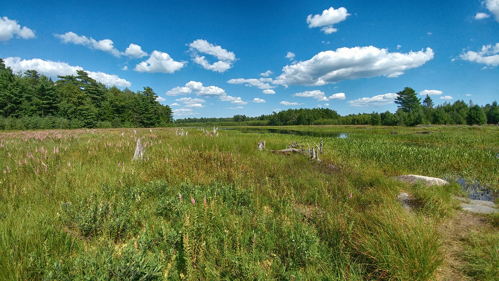
The Pad Amongst the Pads

Kempt United Baptist Church Cemetery
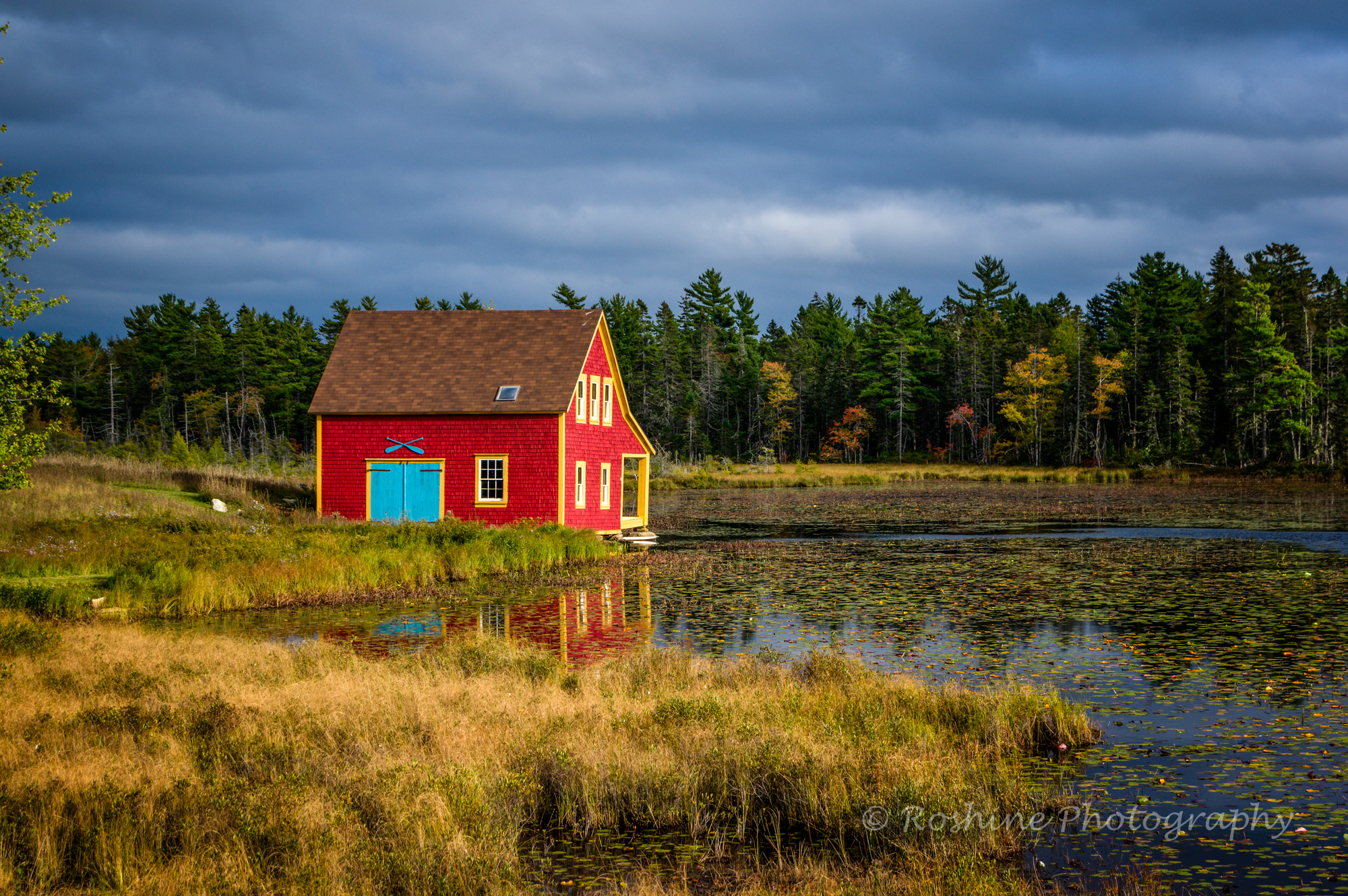
Boathouse on the Lake

Kempt United Baptist Church Cemetery
_DSC4914.jpg
Topographic Map of Nova Scotia Trunk 8, South Brookfield, NS B0T 1X0, Canada
Find elevation by address:

Places near Nova Scotia Trunk 8, South Brookfield, NS B0T 1X0, Canada:
8474 Nova Scotia Trunk 8
8474 Nova Scotia Trunk 8
South Brookfield
Hibernia Rd, South Brookfield, NS B0T 1X0, Canada
1866 Hibernia Rd
Caledonia
842 Salmon Bay Dr
132 Harlow Rd
Old Westfield Rd, Caledonia, NS B0T 1B0, Canada
Queens
New Elm Rd, South Brookfield, NS B0T 1X0, Canada
Murley Rd, South Brookfield, NS B0T 1X0, Canada
Old Harmony Rd, Caledonia, NS B0T 1B0, Canada
2031 New Elm Rd
Greenfield
New Elm Road
New Elm Road
Nova Scotia Trunk 8, Greenfield, NS B0T 1E0, Canada
B0t 1e0
Region Of Queens
Recent Searches:
- Elevation of Beall Road, Beall Rd, Florida, USA
- Elevation of Leguwa, Nepal
- Elevation of County Rd, Enterprise, AL, USA
- Elevation of Kolchuginsky District, Vladimir Oblast, Russia
- Elevation of Shustino, Vladimir Oblast, Russia
- Elevation of Lampiasi St, Sarasota, FL, USA
- Elevation of Elwyn Dr, Roanoke Rapids, NC, USA
- Elevation of Congressional Dr, Stevensville, MD, USA
- Elevation of Bellview Rd, McLean, VA, USA
- Elevation of Stage Island Rd, Chatham, MA, USA