Elevation of Nova Scotia Trunk 14, Upper Nine Mile River, NS B2S 3G1, Canada
Location: Canada > Nova Scotia > Hants County > East Hants >
Longitude: -63.671361
Latitude: 45.0793529
Elevation: 96m / 315feet
Barometric Pressure: 100KPa
Elevation Map:
Satellite Map:
Related Photos:
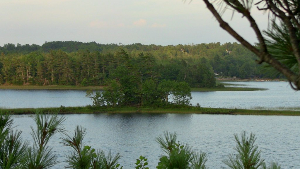
Horse Islands

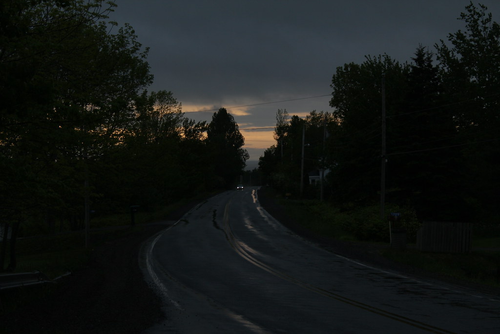
Haunted house on the hill?
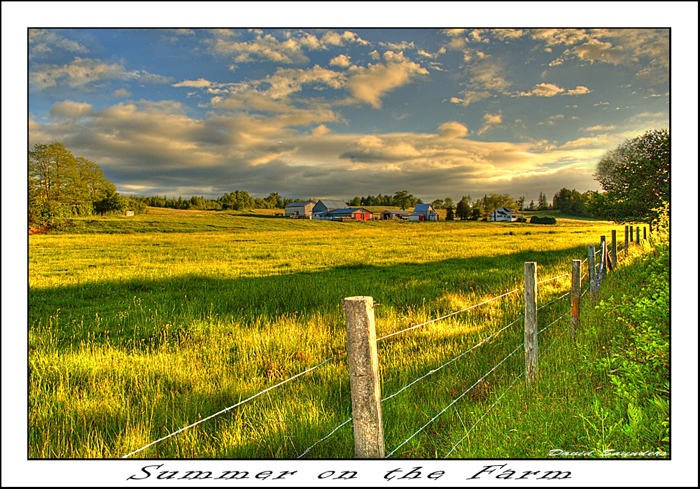
Summer on the Farm
Hants County, NS
Hants County, NS
Rawdon Gold Mines, NS
West Gore, NS
Newport, NS
Courthouse Hill
Rawdon Gold Mines, NS
Fall Colours
Hants County, NS
skating on long lake
Upper Rawdon, NS
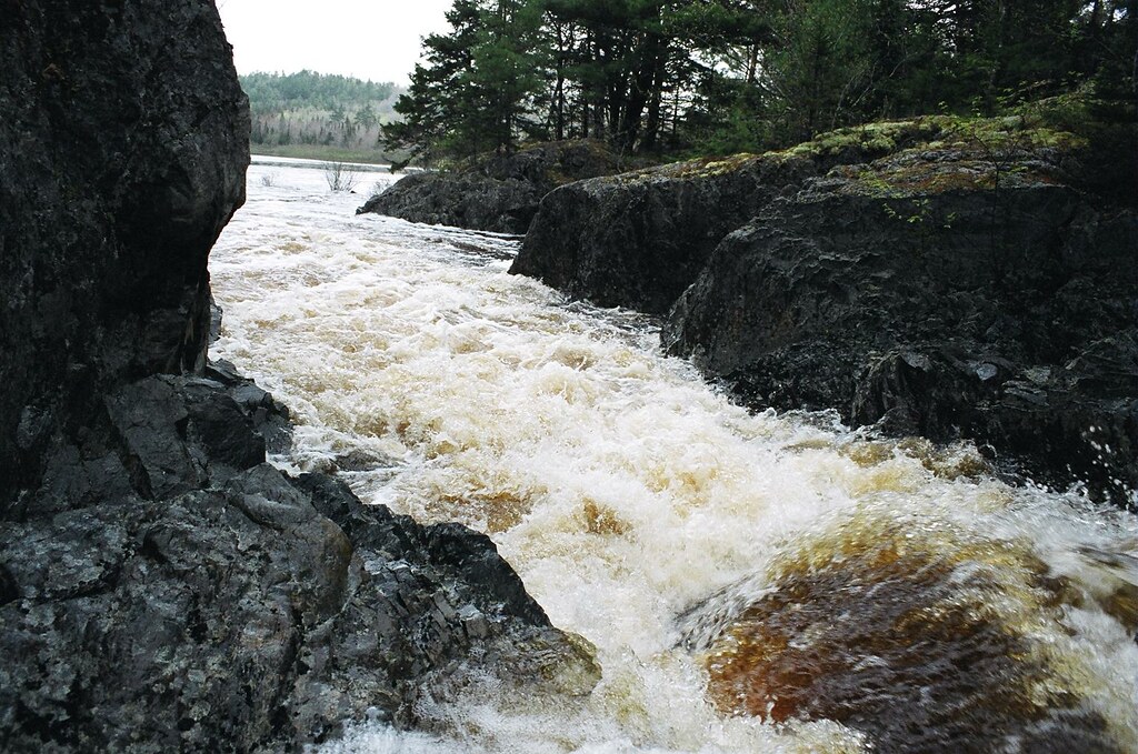
Devils Jaws, near Long Lake
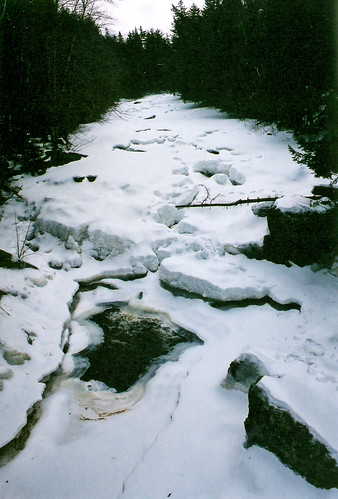
Frozen River
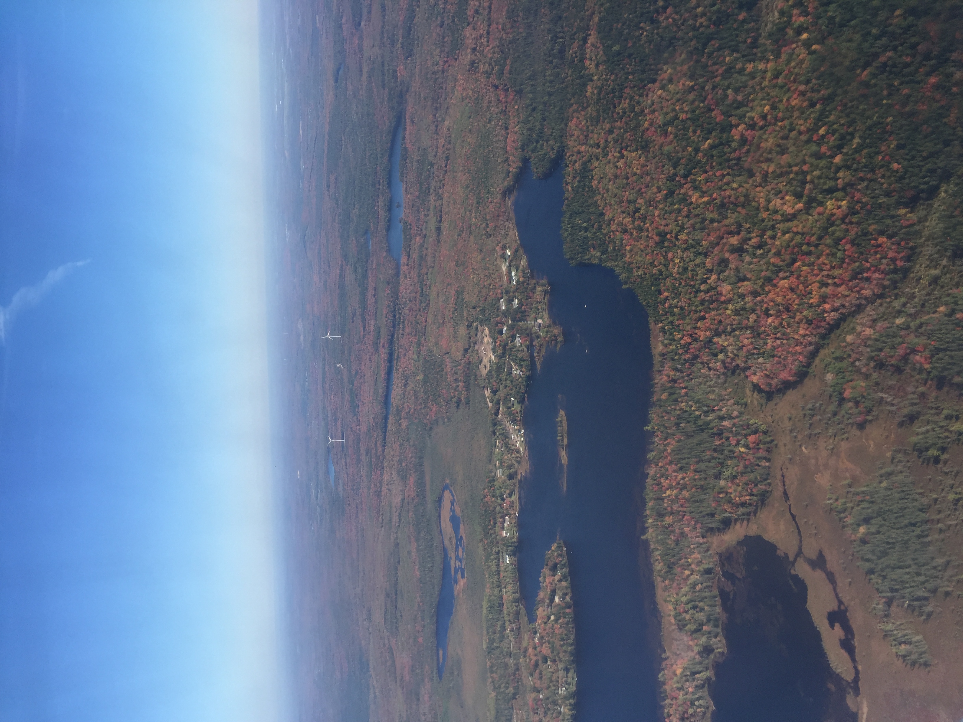
Nova Scotia
Topographic Map of Nova Scotia Trunk 14, Upper Nine Mile River, NS B2S 3G1, Canada
Find elevation by address:

Places near Nova Scotia Trunk 14, Upper Nine Mile River, NS B2S 3G1, Canada:
East Hants
NS-, Kennetcook, NS B0N 1P0, Canada
Kennetcook
Upper Kennetcook
123 Hamilton Ln
Northfield Rd, Upper Kennetcook, NS B0N 2L0, Canada
181 Cross 2 Rd
663 Cross 3 Rd
B0n 1t0
Nova Scotia Trunk 2, Hardwood Lands, NS B0N 1Y0, Canada
Hants County
7877 Ns-215
Glooscap Trail, Shubenacadie, NS B0N 2H0, Canada
Shubenacadie
Highway 215
Admiral Rock
High Tide Road
Quarry Road
Quarry Road
Portapique
Recent Searches:
- Elevation of Tenjo, Cundinamarca, Colombia
- Elevation of Côte-des-Neiges, Montreal, QC H4A 3J6, Canada
- Elevation of Bobcat Dr, Helena, MT, USA
- Elevation of Zu den Ihlowbergen, Althüttendorf, Germany
- Elevation of Badaber, Peshawar, Khyber Pakhtunkhwa, Pakistan
- Elevation of SE Heron Loop, Lincoln City, OR, USA
- Elevation of Slanický ostrov, 01 Námestovo, Slovakia
- Elevation of Spaceport America, Co Rd A, Truth or Consequences, NM, USA
- Elevation of Warwick, RI, USA
- Elevation of Fern Rd, Whitmore, CA, USA