Elevation of Northrop Grumman Mission System, Delaware, Leavenworth, KS, USA
Location: United States > Kansas > Leavenworth County > Leavenworth >
Longitude: -94.910778
Latitude: 39.3185282
Elevation: 243m / 797feet
Barometric Pressure: 98KPa
Elevation Map:
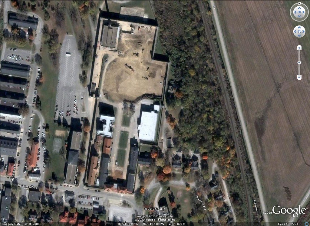
Satellite Map:
Related Photos:

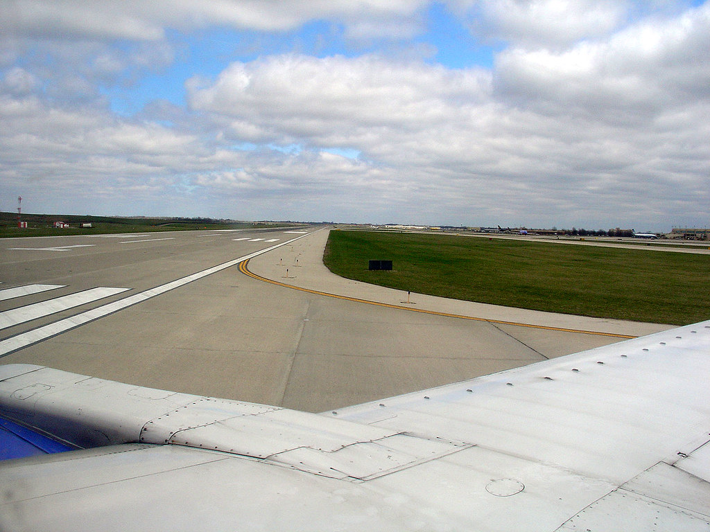
Takeoff from Rwy1L at KCI, 27 Oct 2008 (4)
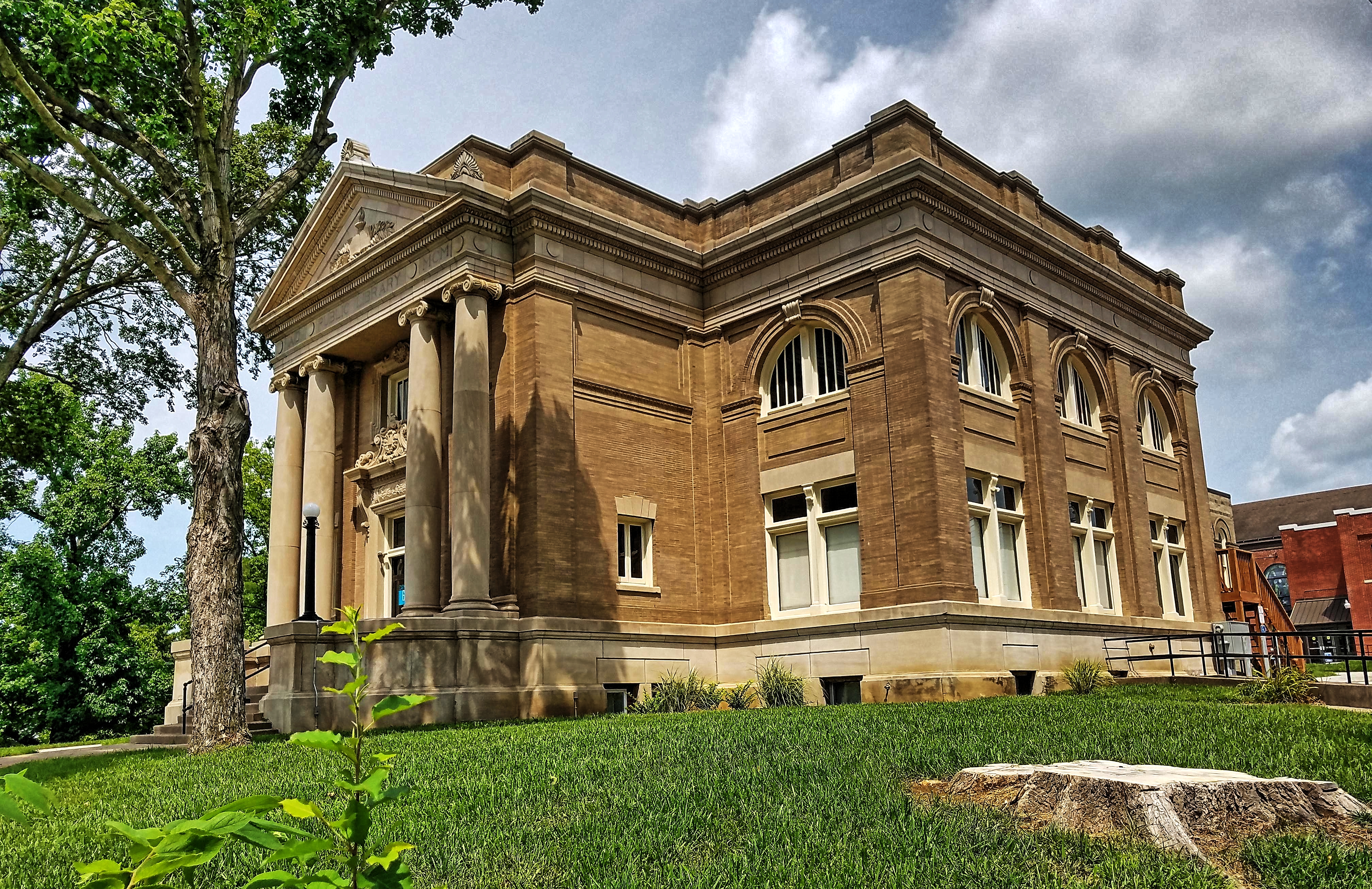
Public Library- Leavenworth KS (2)

C.W. Parker Carousel ~ Leavenworth, Kansas
Ready for Takeoff on Rwy1L @ KMCI, April 2008
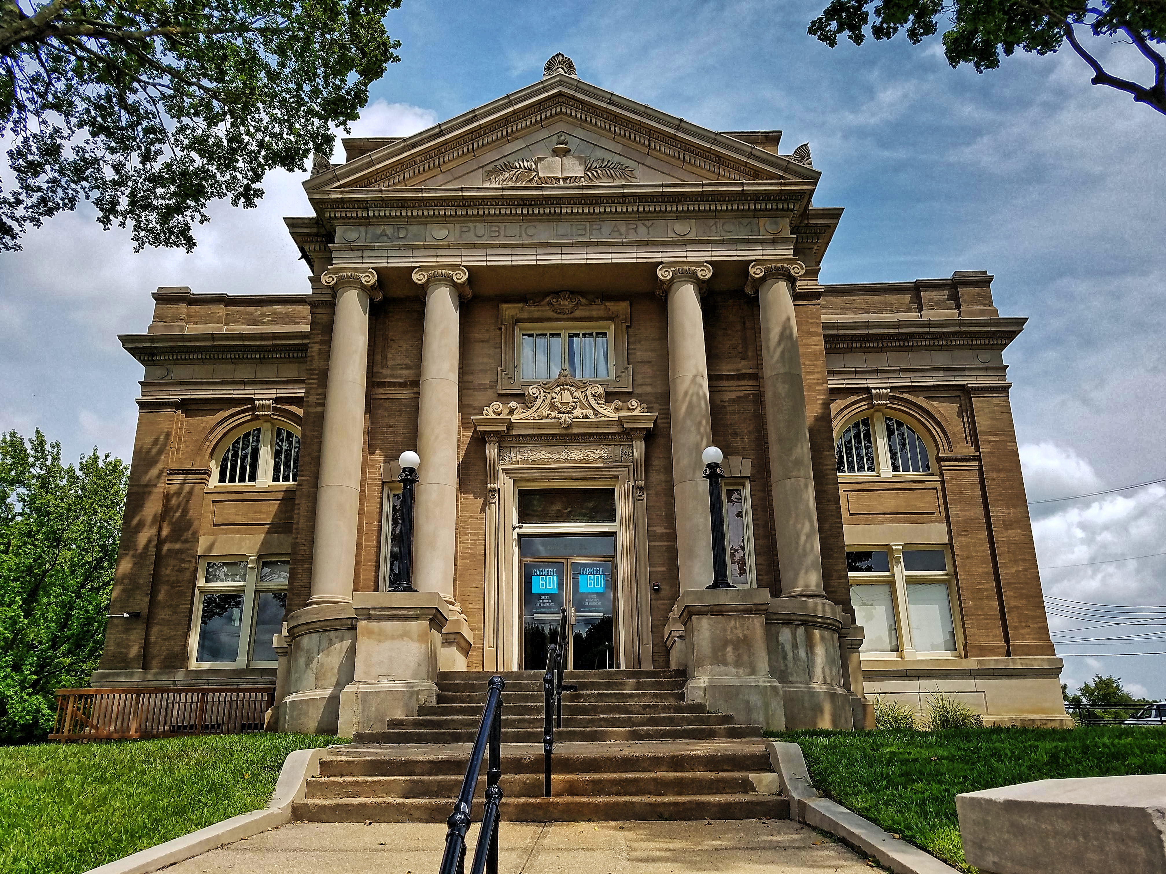
Public Library- Leavenworth KS (1)
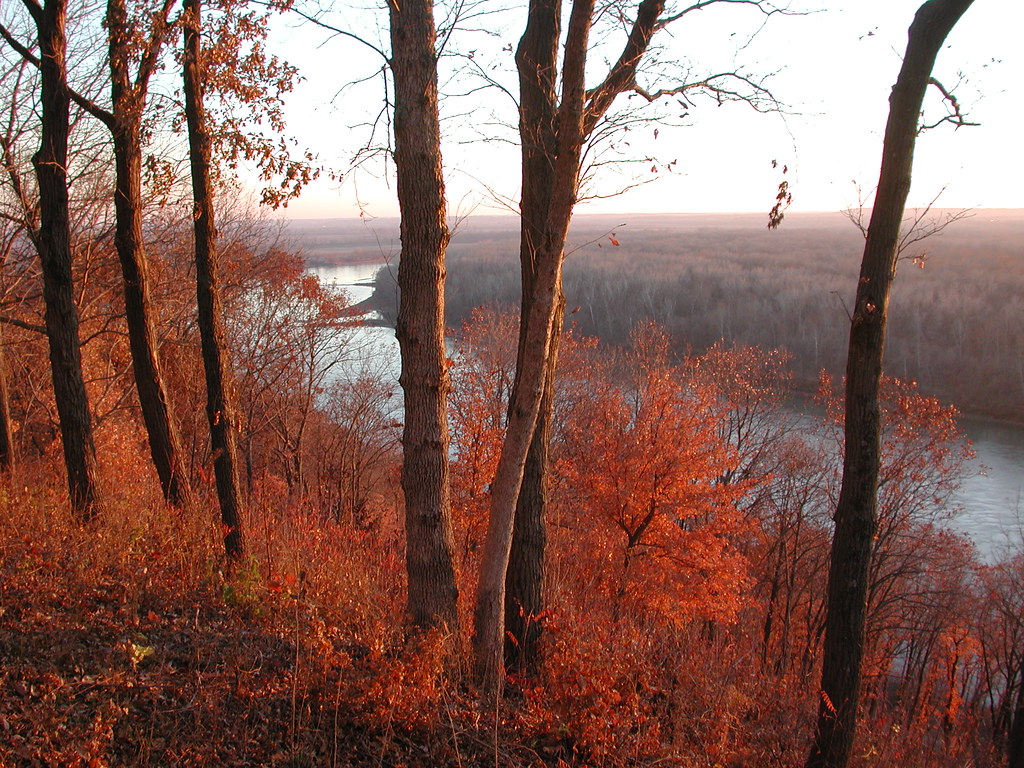
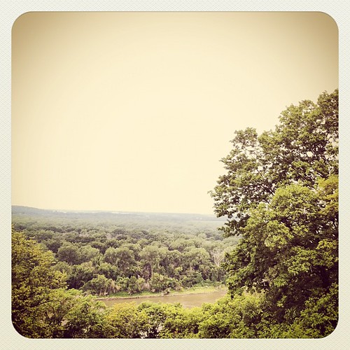
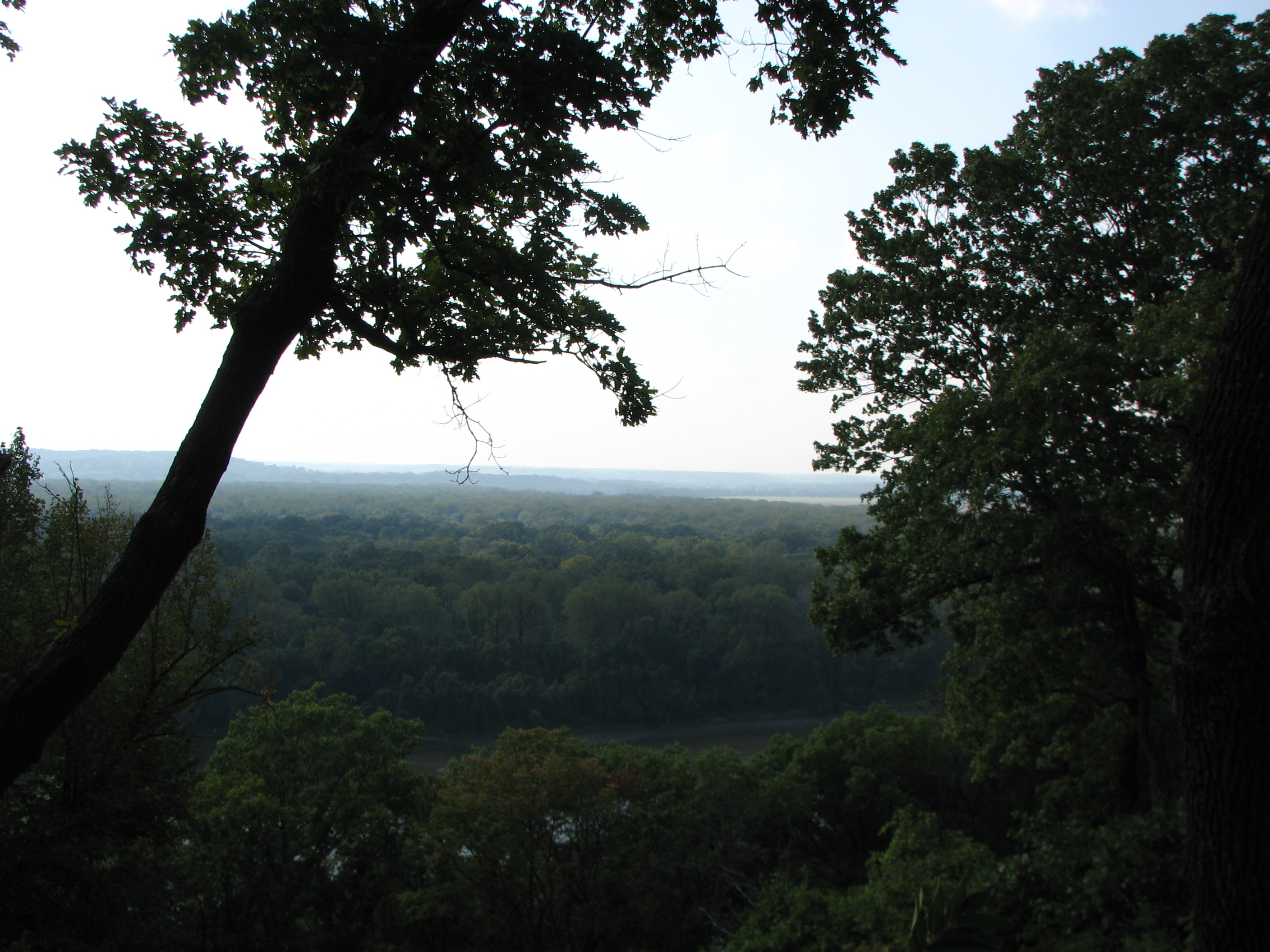
Weston Bend State Park overlooking the Missouri River and Kansas

My view while on my walk.
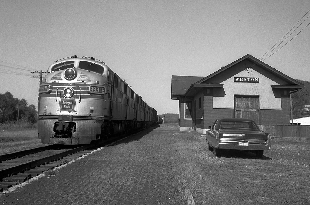
CB&Q #9931 Weston, Missouri

One lane view
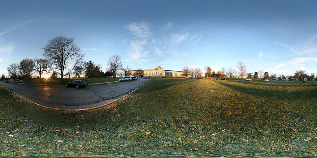
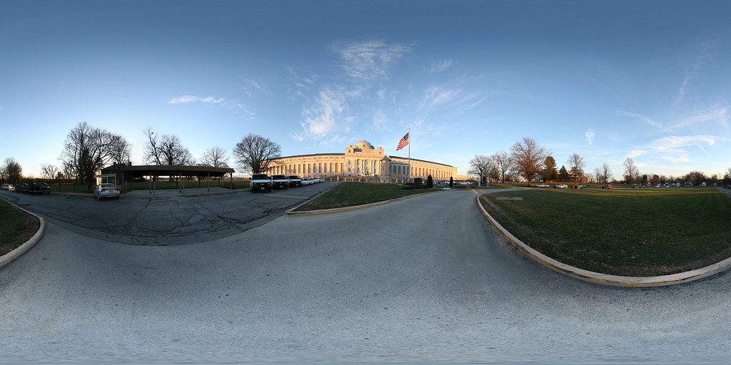
Spherical Photograph at the Federal Penitentiary in Leavenworth, Kansas

Misty Sunset
Nice view...
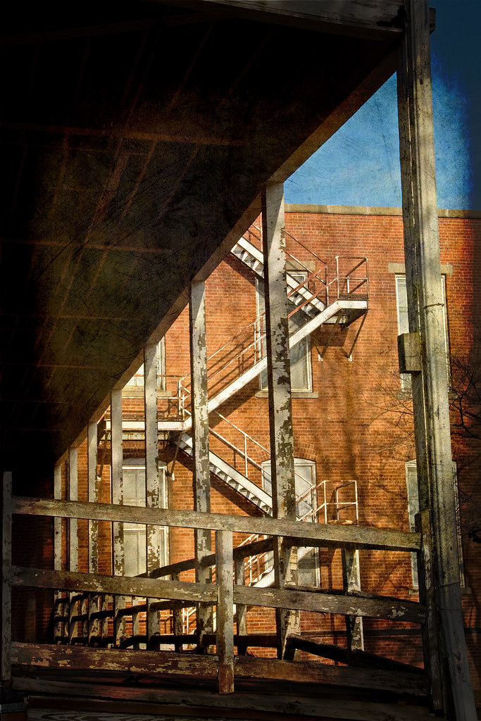
Governmental Abandonment
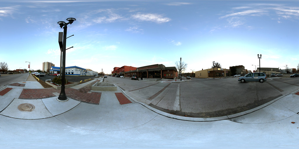
Spherical Photograph at the Corner of Delaware Street and 3rd Street in Leavenworth, Kansas
Spherical Photograph at the Federal Penitentiary in Leavenworth, Kansas
Fort Leavenworth Disciplinary Barracks - Aerial view during demolition for repurposing
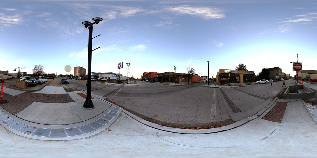
Spherical Photograph at the Corner of Delaware Street and 3rd Street in Leavenworth, Kansas

Lansing, KS - 1909 Postcard
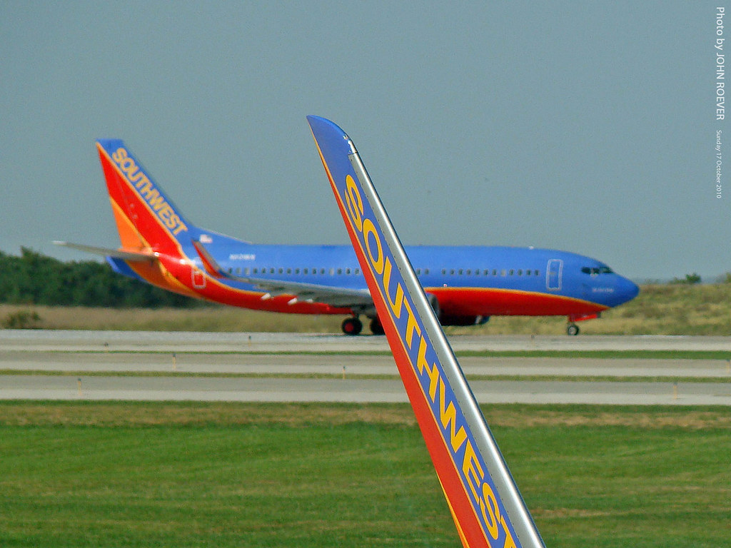
Southwest winglet & 737 @ KMCI, 17 Oct 2010

Underground Pub
Weston Bend
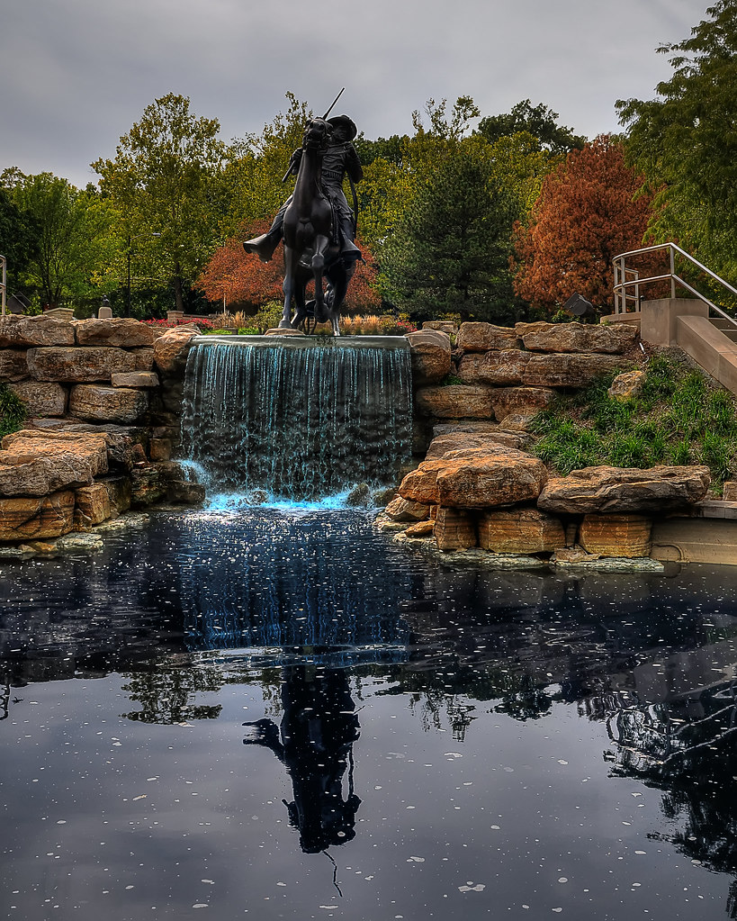
Buffalo Soldier reflections
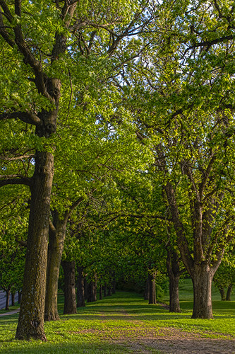
Golf Course Trees
watchful tree
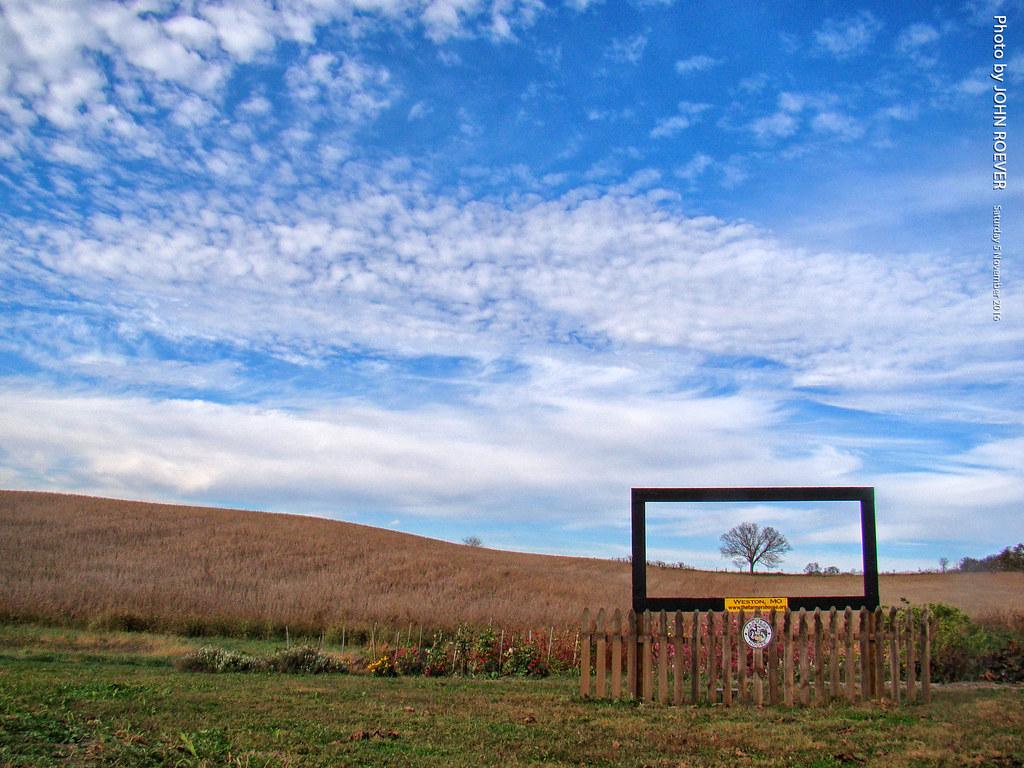
Autumn at Farmers House, 5 Nov 2016

Golden Globe
St John's Lutheran
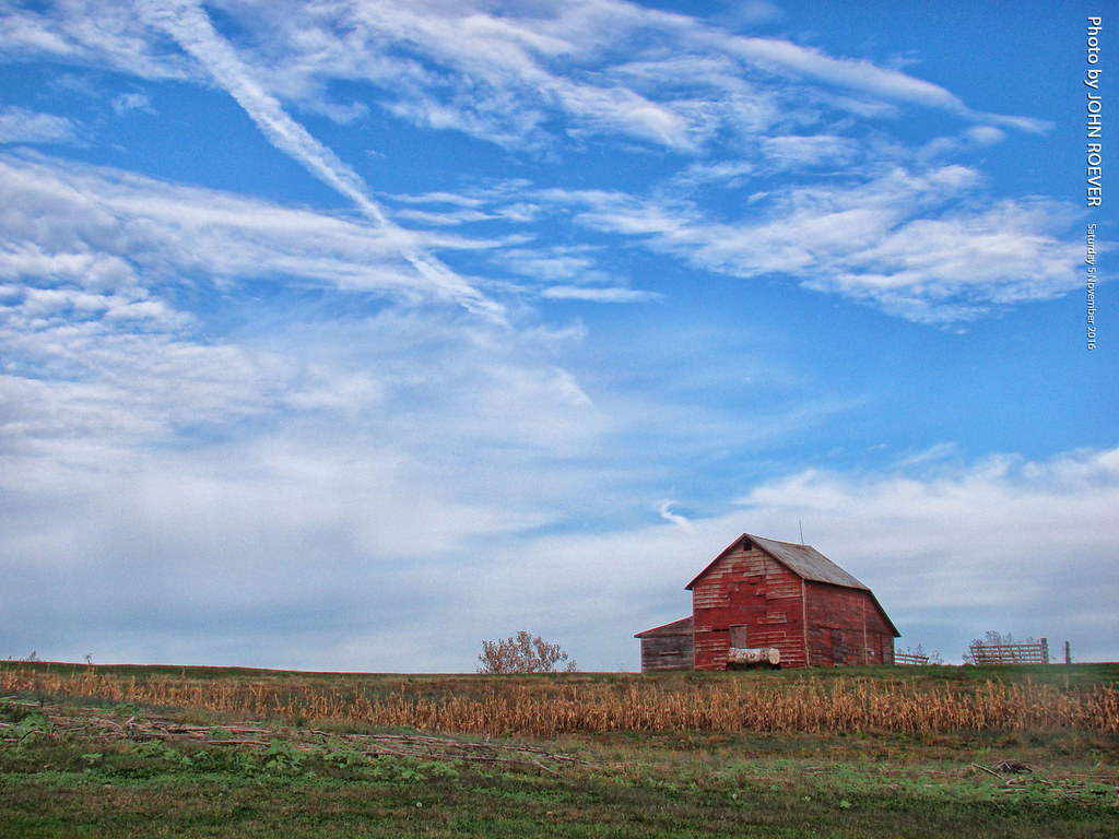
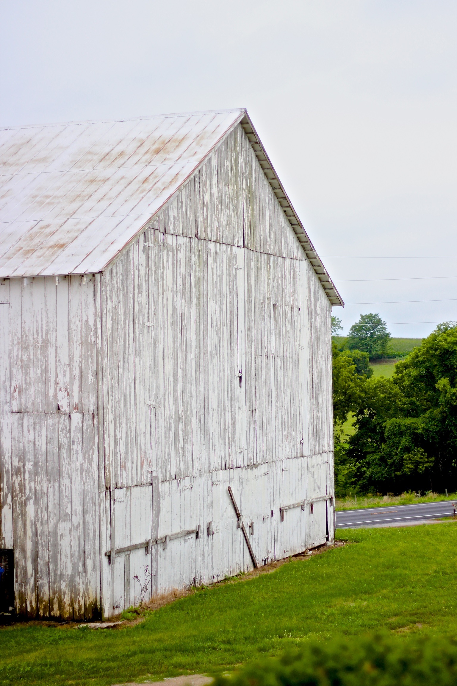
Barn at Farmers House, 5 Nov 2016

Evening Storm
#gorgeous

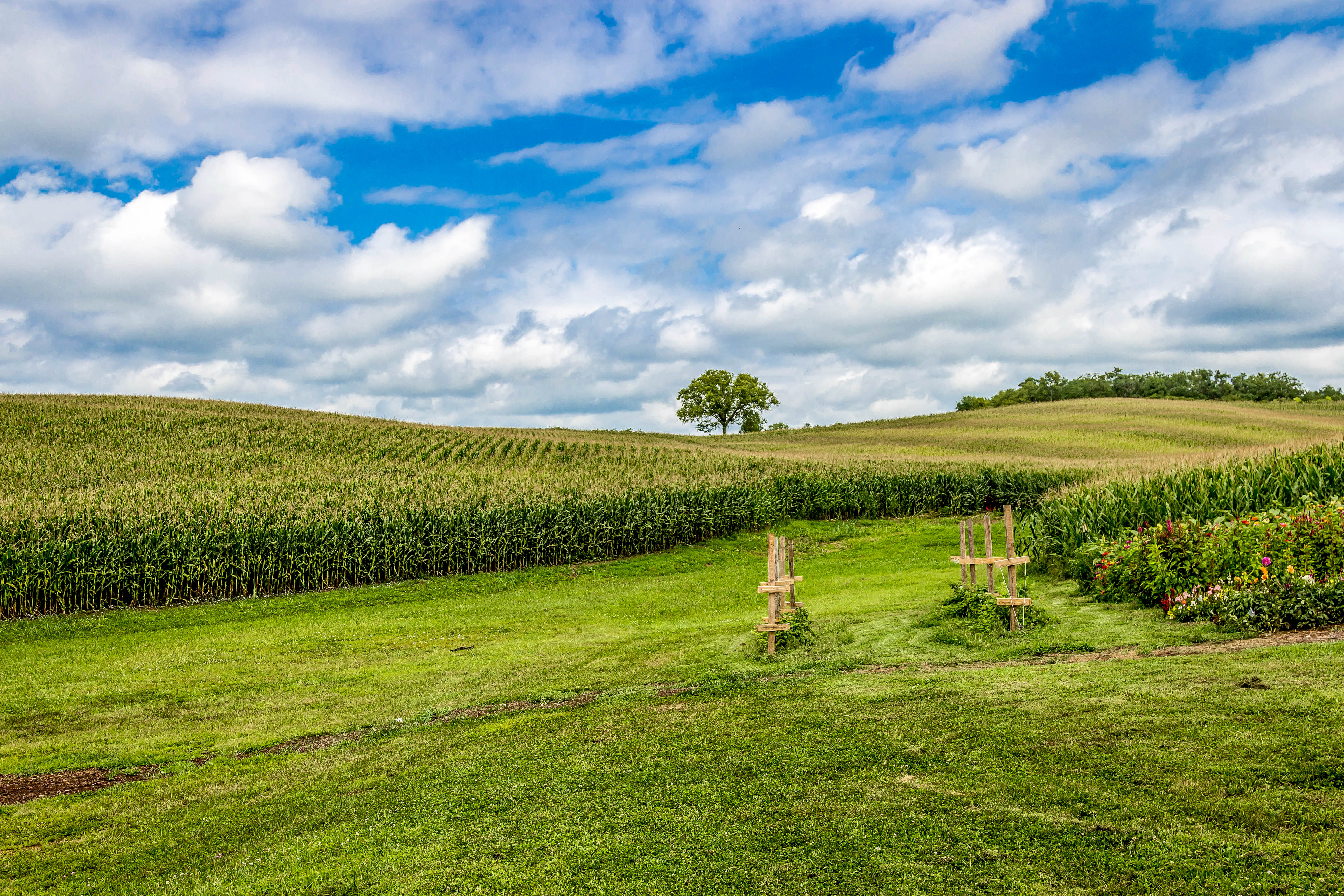
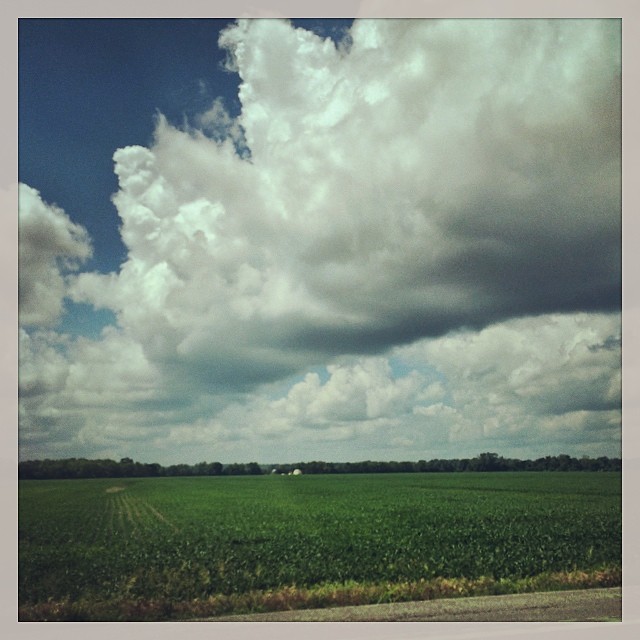
Soybean field
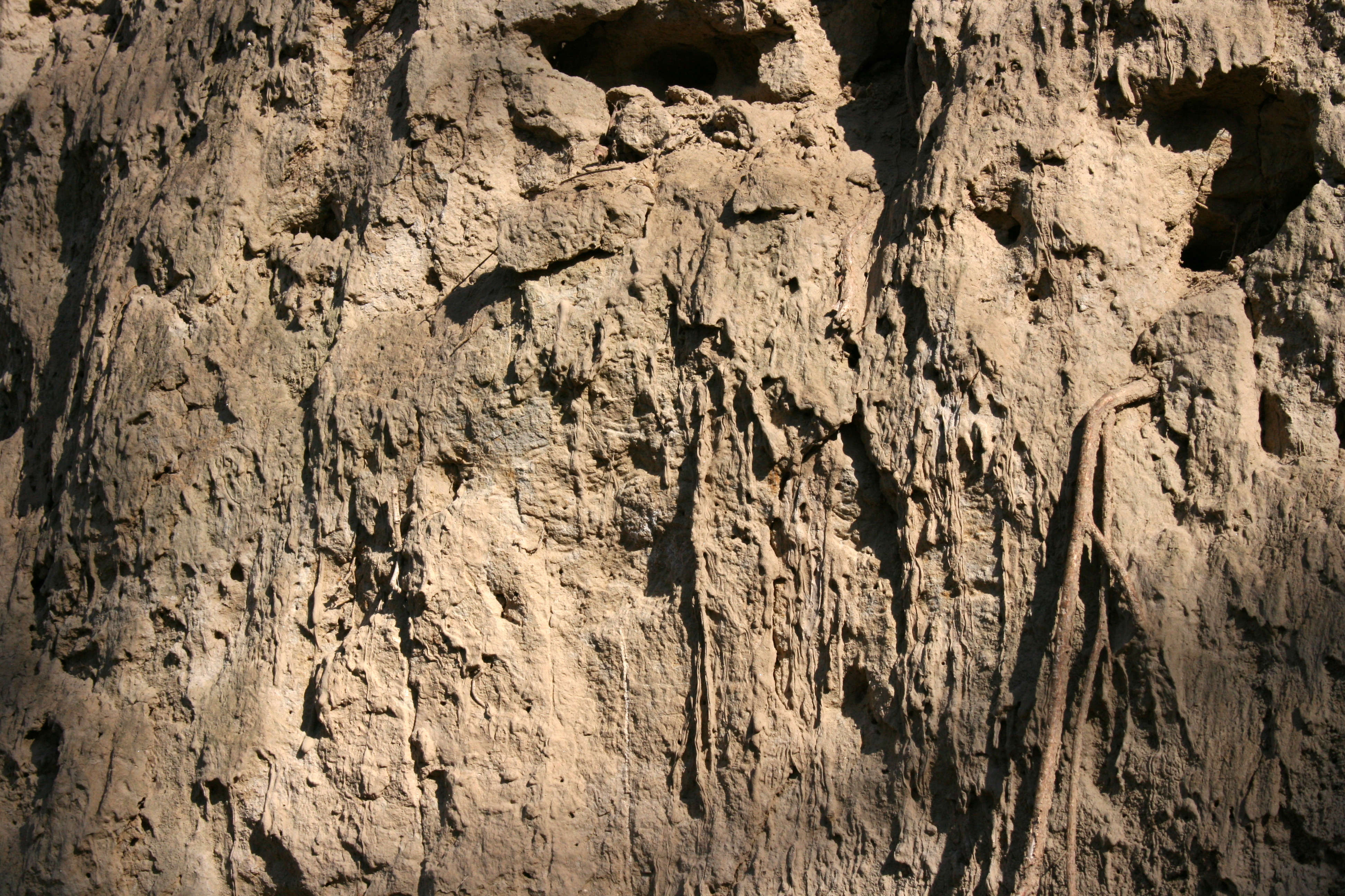
Loess Bluff Face

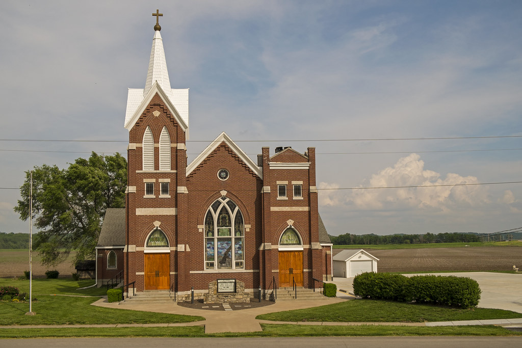
St. Mary's

Country Road

Sunset over Pond

Kickapoo Soy Field
Aug 4, 2013-17

Red sky by morn...

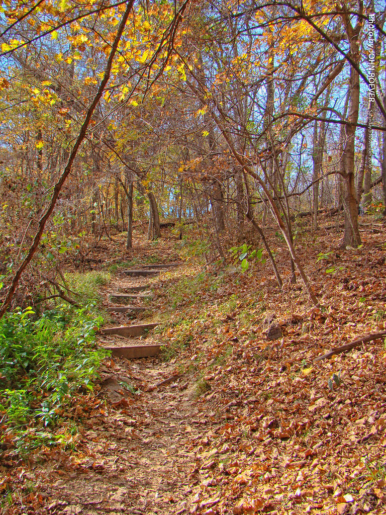
Field in autumn, 21 Oct 2011
Weston Bend State Park, 5 Nov 2016
Topographic Map of Northrop Grumman Mission System, Delaware, Leavenworth, KS, USA
Find elevation by address:

Places near Northrop Grumman Mission System, Delaware, Leavenworth, KS, USA:
1450 S 4th St
Stillings Rd, Platte City, MO, USA
70 Santa Fe St
2426 Wilson Ave
126 Sheridan St
2510 Wilson Ave
Warnes William A Md
Lee Township
4200 S 4th St
Fort Leavenworth
Lansing
404 Wyndham Dr
305 North St
307 Main St
Farley
Farley
E Gilman Rd, Leavenworth, KS, USA
Delaware
Wolcott Dr, Kansas City, KS, USA
Platte City
Recent Searches:
- Elevation of Woolwine, VA, USA
- Elevation of Lumagwas Diversified Farmers Multi-Purpose Cooperative, Lumagwas, Adtuyon, RV32+MH7, Pangantucan, Bukidnon, Philippines
- Elevation of Homestead Ridge, New Braunfels, TX, USA
- Elevation of Orchard Road, Orchard Rd, Marlborough, NY, USA
- Elevation of 12 Hutchinson Woods Dr, Fletcher, NC, USA
- Elevation of Holloway Ave, San Francisco, CA, USA
- Elevation of Norfolk, NY, USA
- Elevation of - San Marcos Pass Rd, Santa Barbara, CA, USA
- Elevation of th Pl SE, Issaquah, WA, USA
- Elevation of 82- D Rd, Captain Cook, HI, USA