Elevation of Northridge Dr, Centralia, WA, USA
Location: United States > Washington > Lewis County > Centralia >
Longitude: -122.94356
Latitude: 46.758474
Elevation: 124m / 407feet
Barometric Pressure: 100KPa
Elevation Map:
Satellite Map:
Related Photos:

a2001-15-04

"A good traveler has no fixed plans, and is not intent on arriving"

Aerial view of I-5 in Chehalis

IMG_1055 Western Wood Pewee
Empire of Liberty: A History of the Early Republic, 1789-1815, by Gordon S. Wood

Mirror view, I-5 Southbound

Aerial view of I-5 in Chehalis
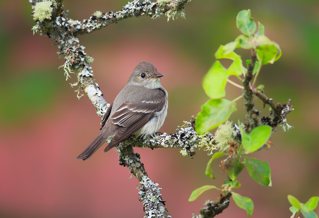
Western Wood-Pewee

Snow and rain
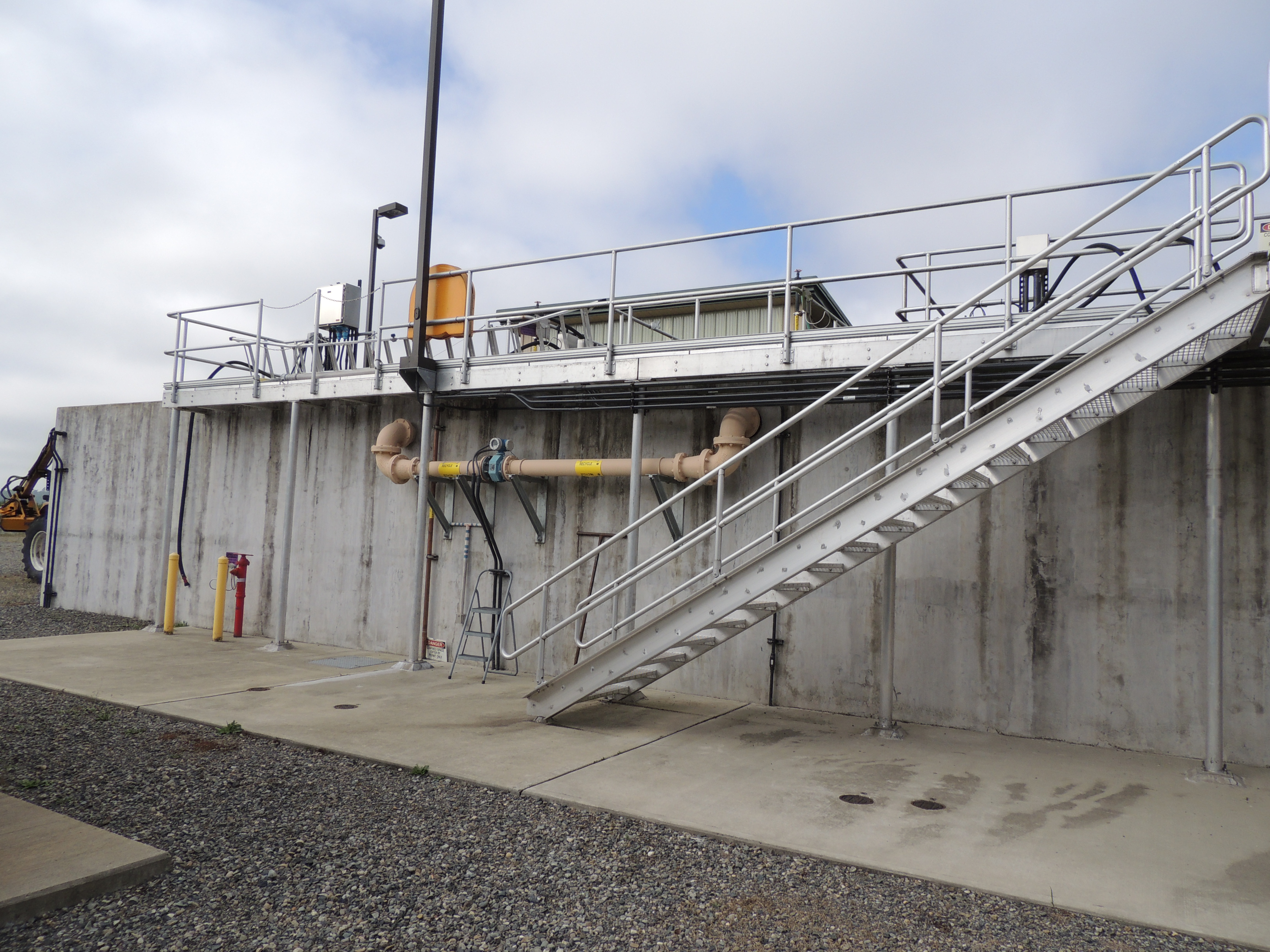
Tenino WWTP, bioreactor tankage

a2003-14-31

Governor Gregoire

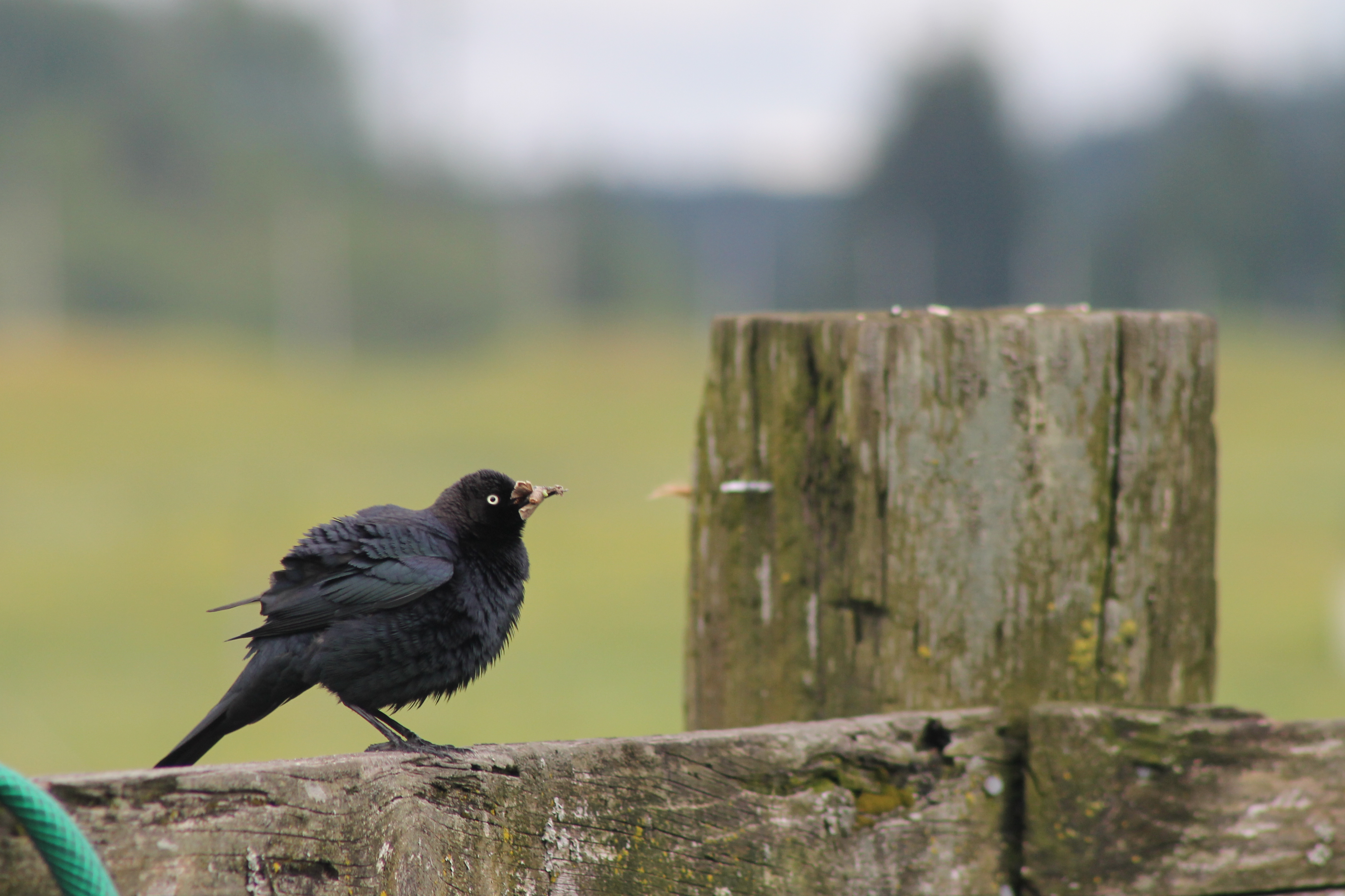
IMG_1103 Female Brewers Blackbird
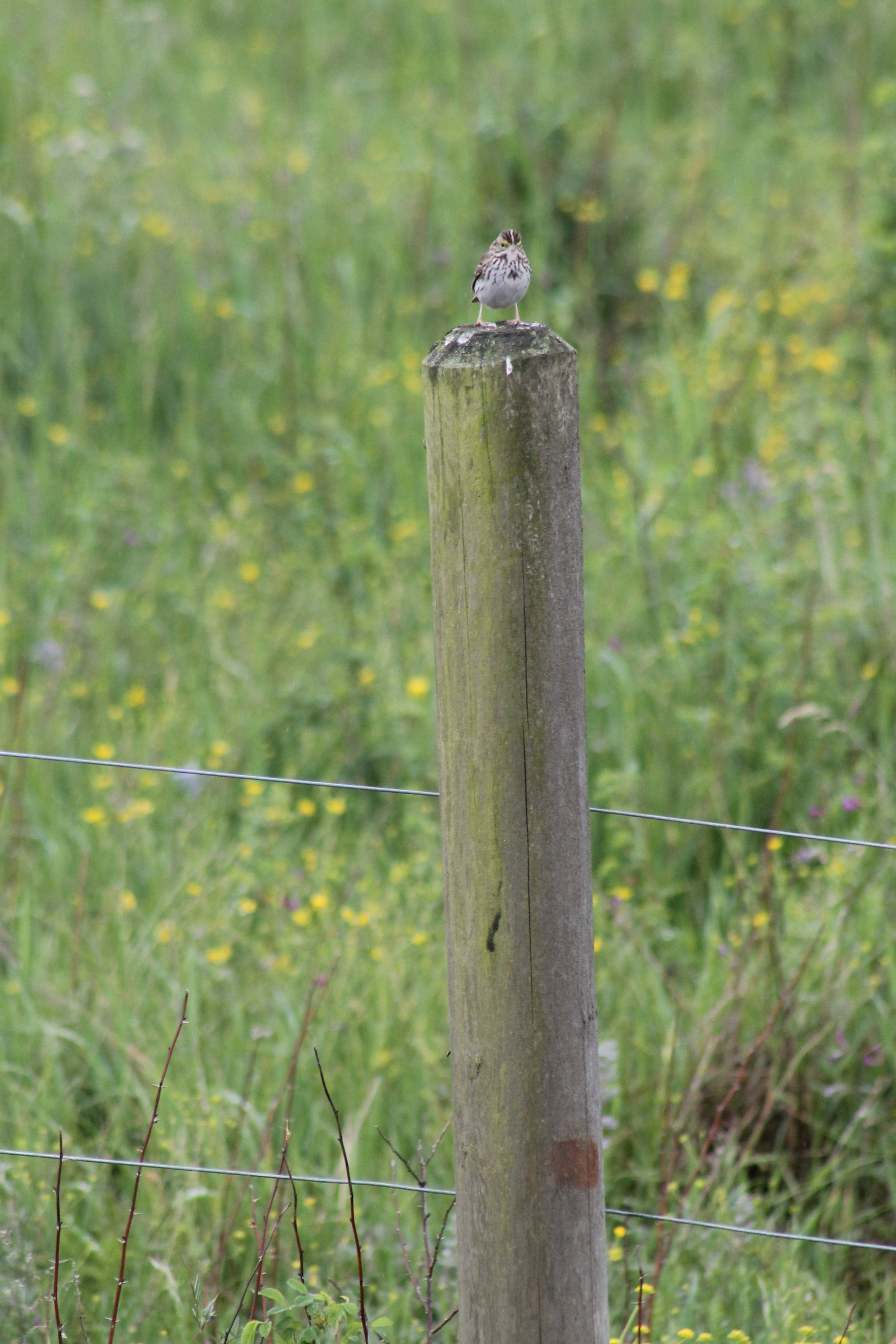
IMG_1050 Savannah Sparrow
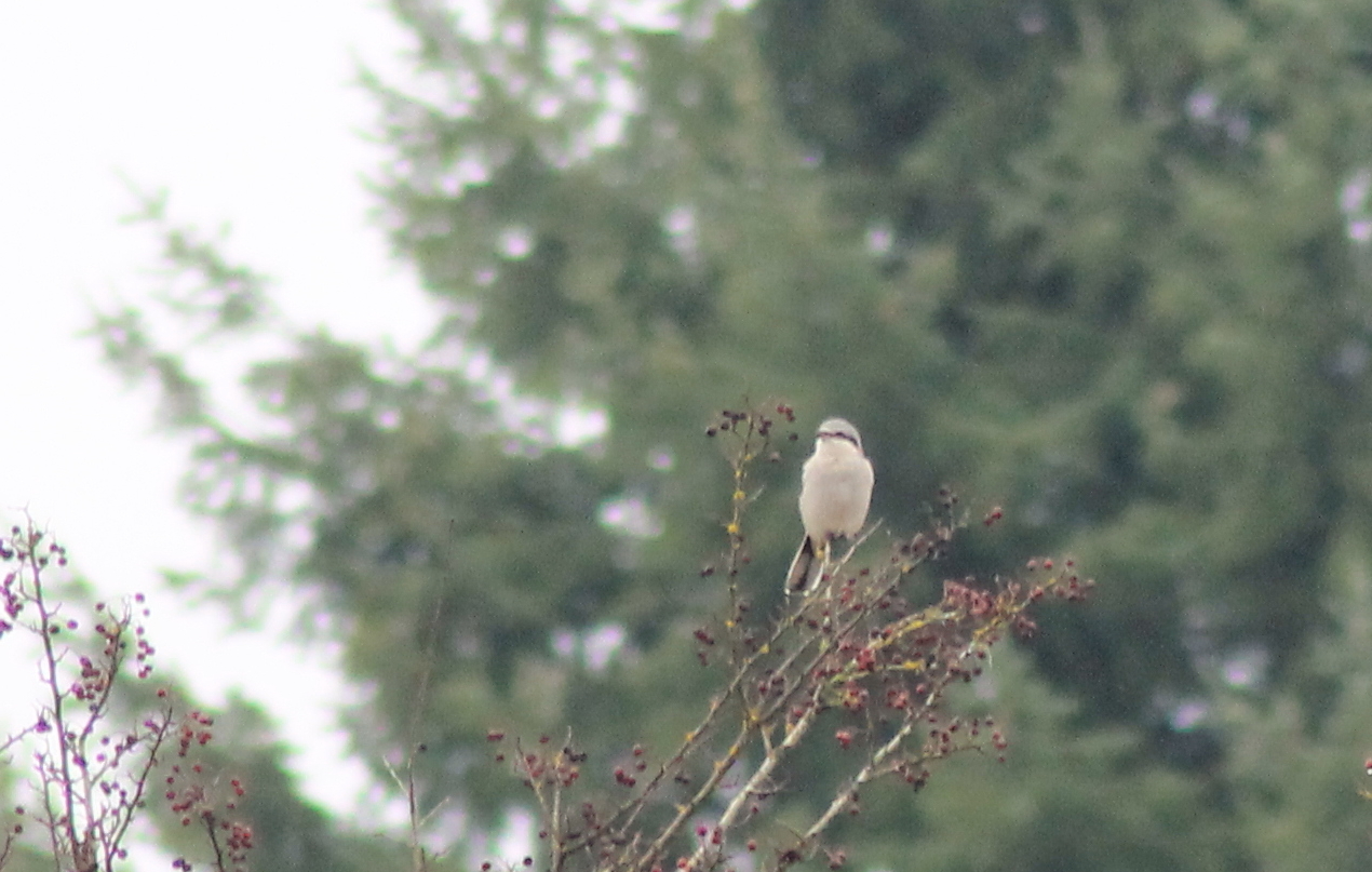
IMG_6349 Northern Shrike - Lanius excubitor
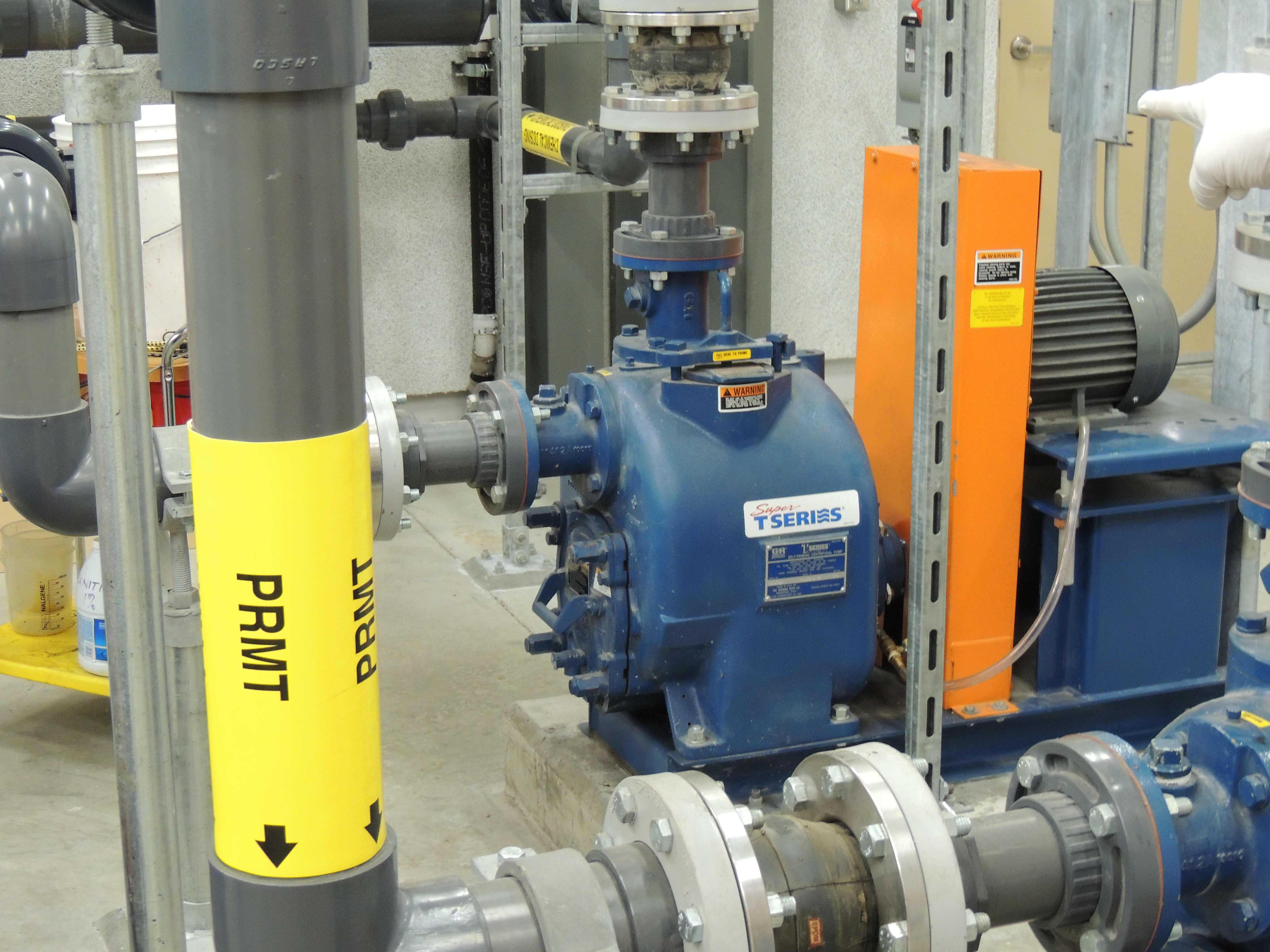
Tenino MBR Permeate Pump
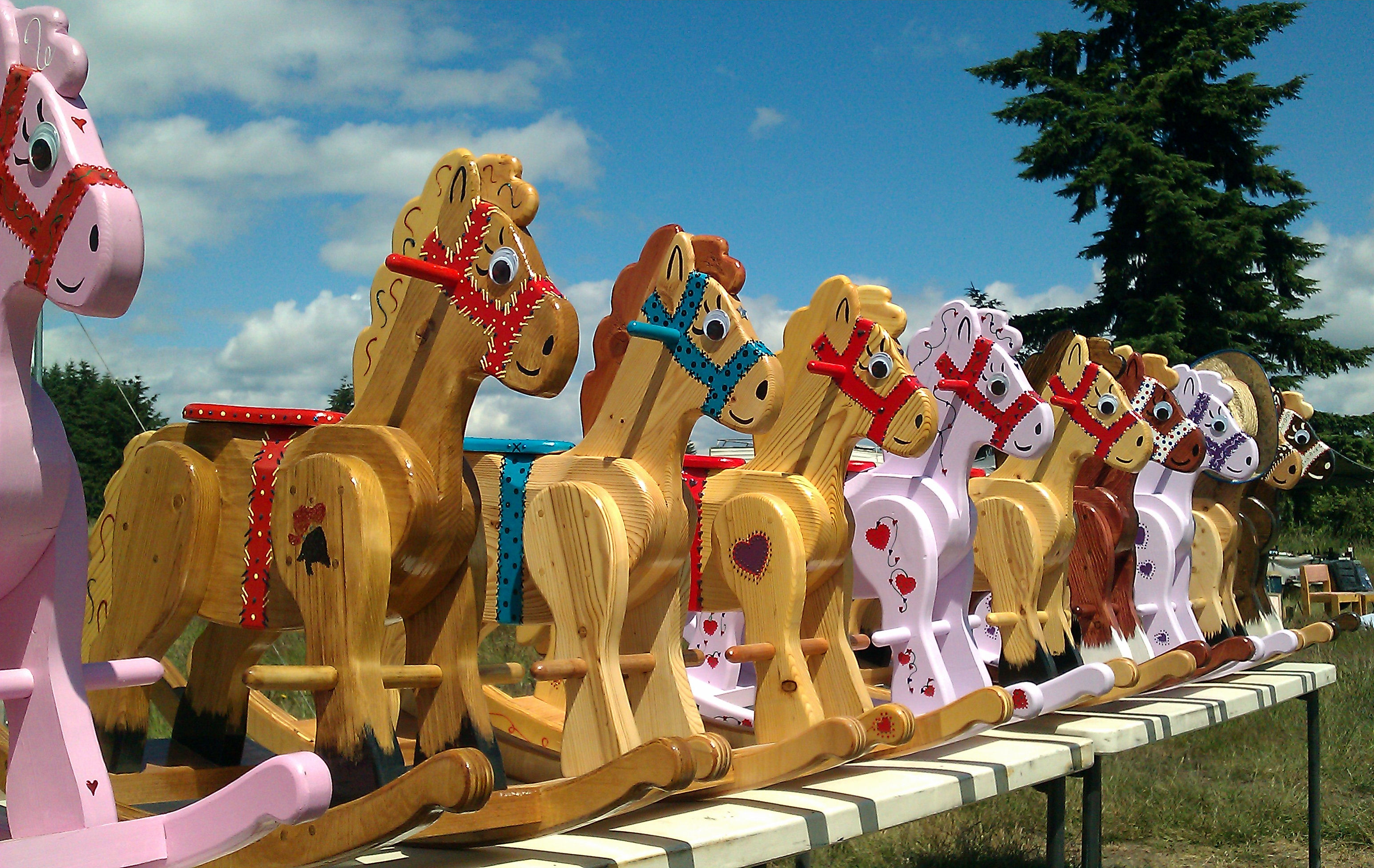
Noisy Hayride
IMG_1096 Male Brewers Blackbird

IMG_1022 Violet-Green Swallow
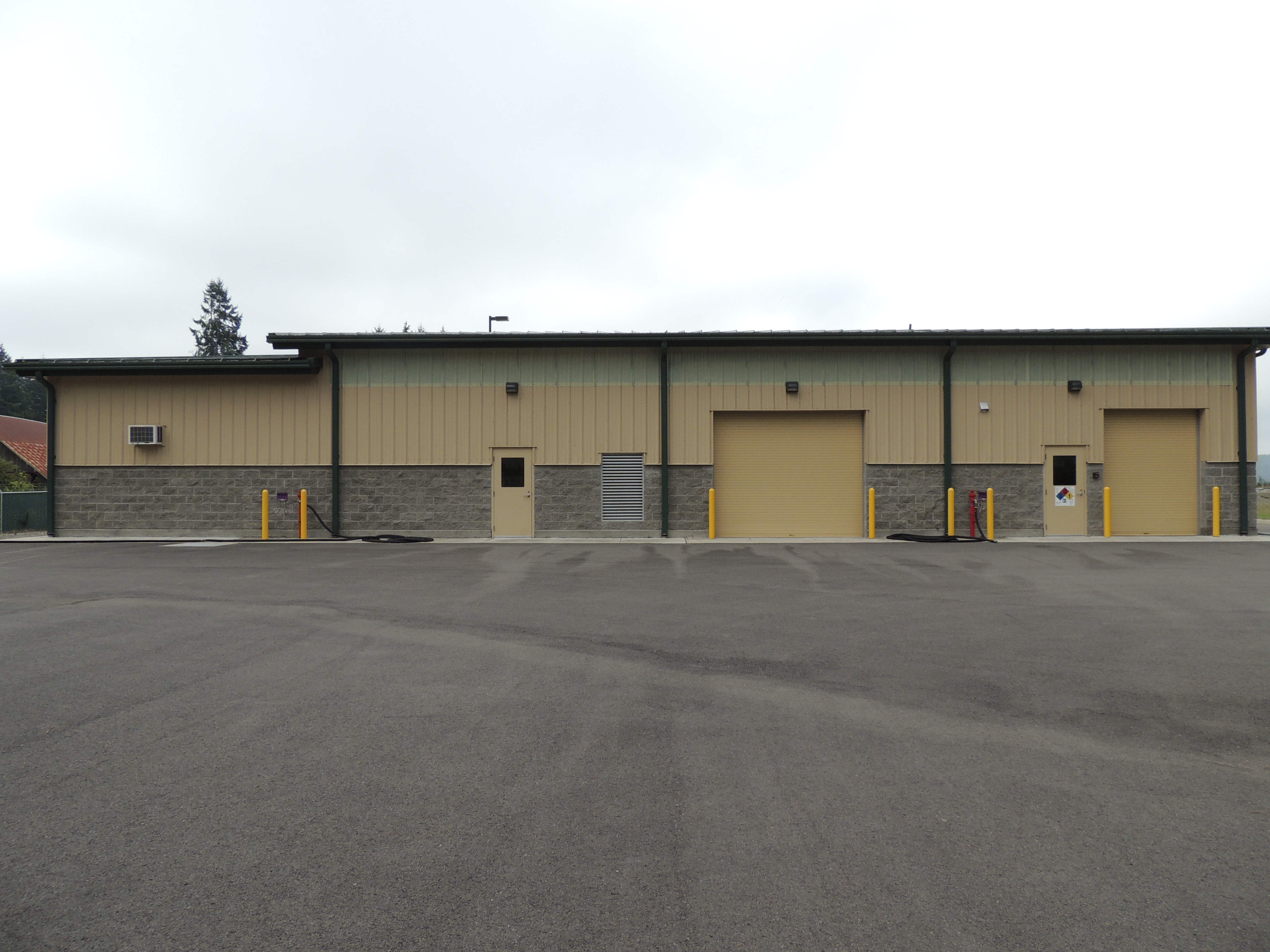
Tenino WWTP, north side view

04282015-21
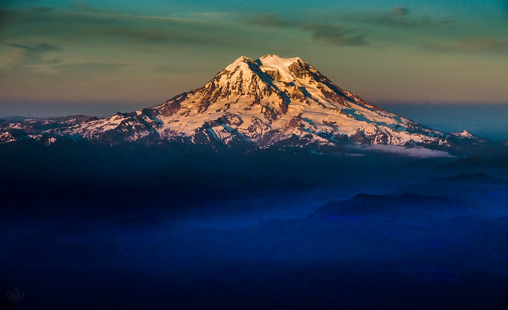
Mt. Rainier: on approach to Seattle
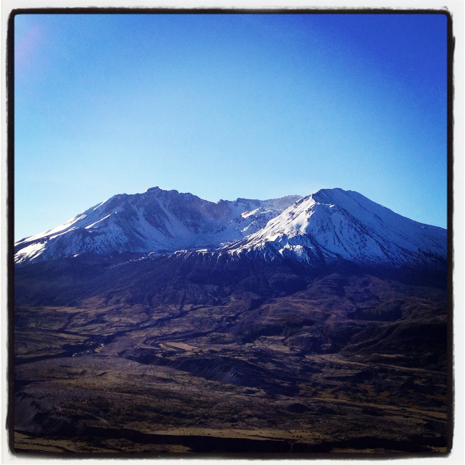
Coldwater Lake hike
Opened the back gate at work to see this.

Poplar Tree Plantation
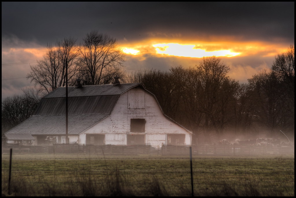
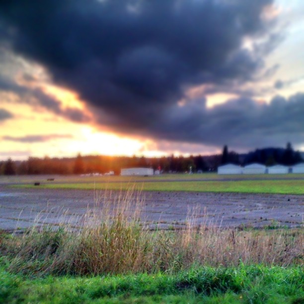
mist and barn

Lovely sunset yesterday.

a poplar place to be
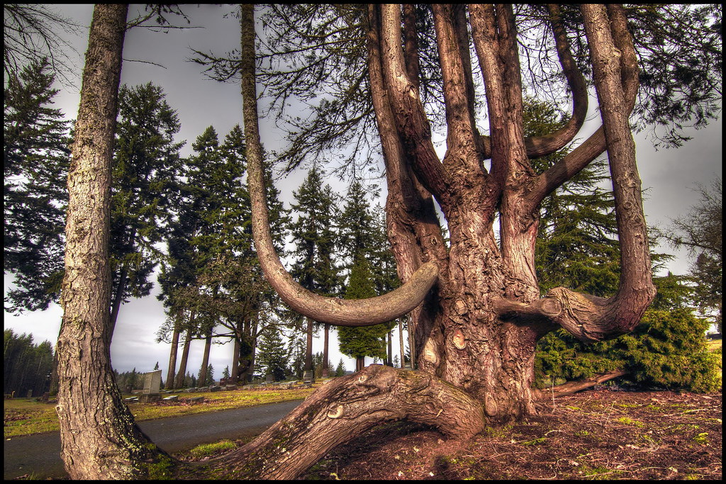
Grandfather tree
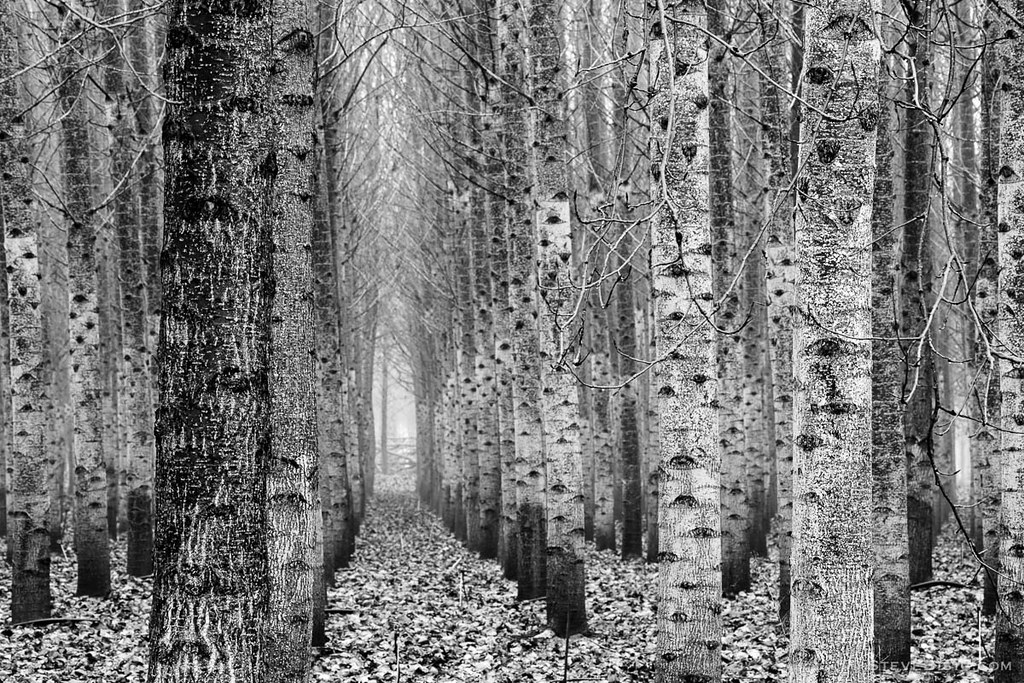
Poplar Tree Plantation, Lewis County, Washington, 2015

Poplar Tree Plantation, Lewis County, Washington, 2015

Our Dog Halle

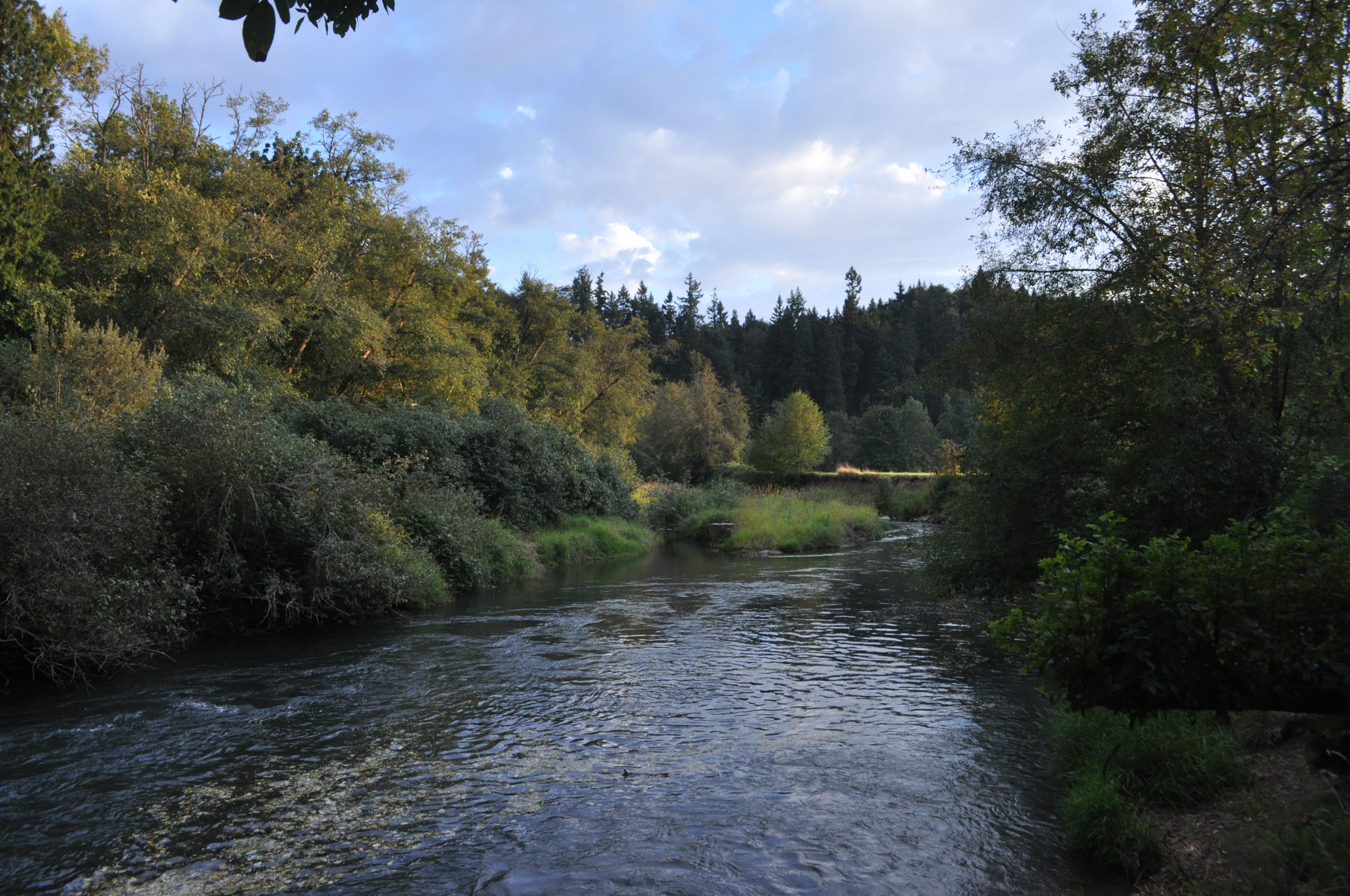
Chehalis River

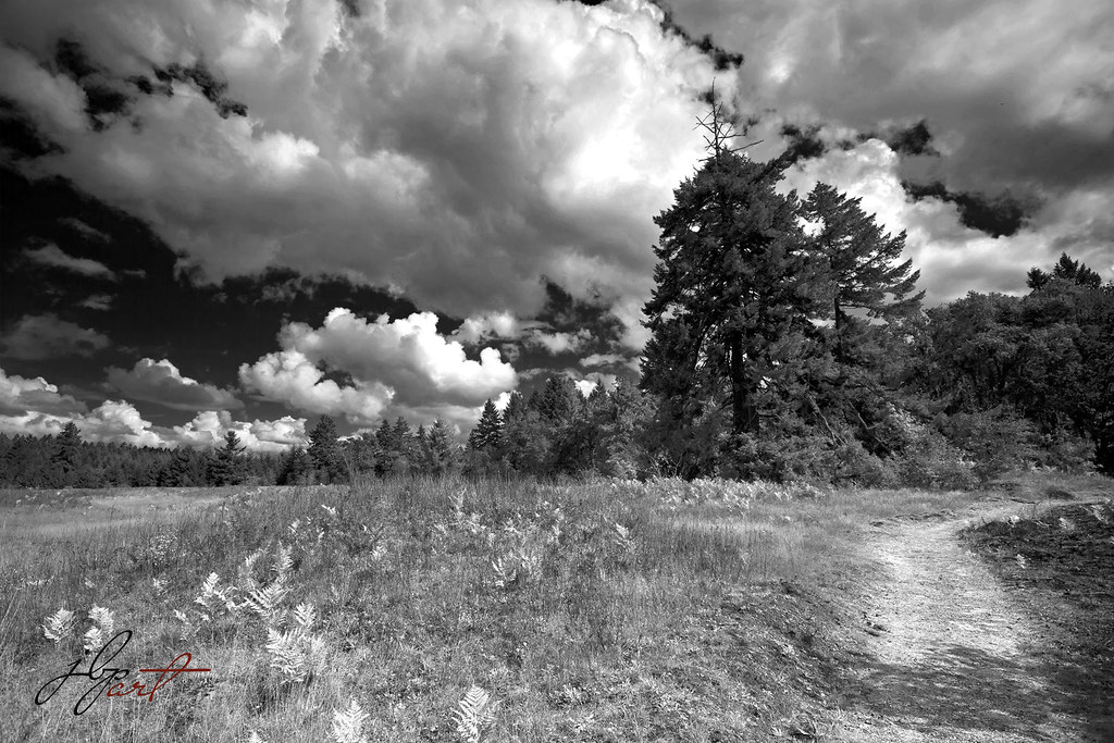
Seminary Hill II
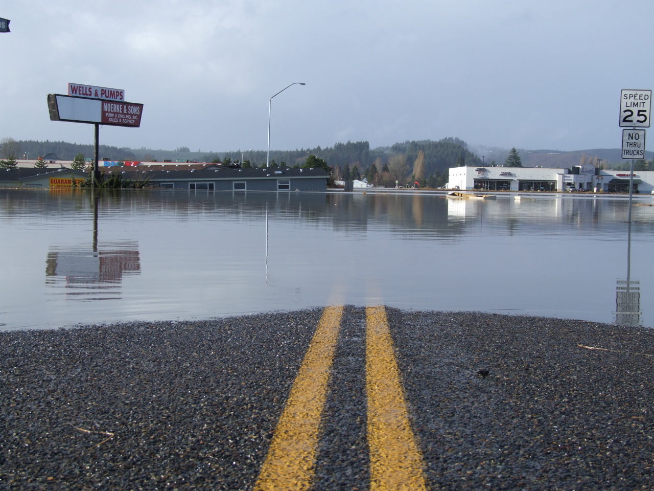
Road Closed
squid-tree

Chehalis River
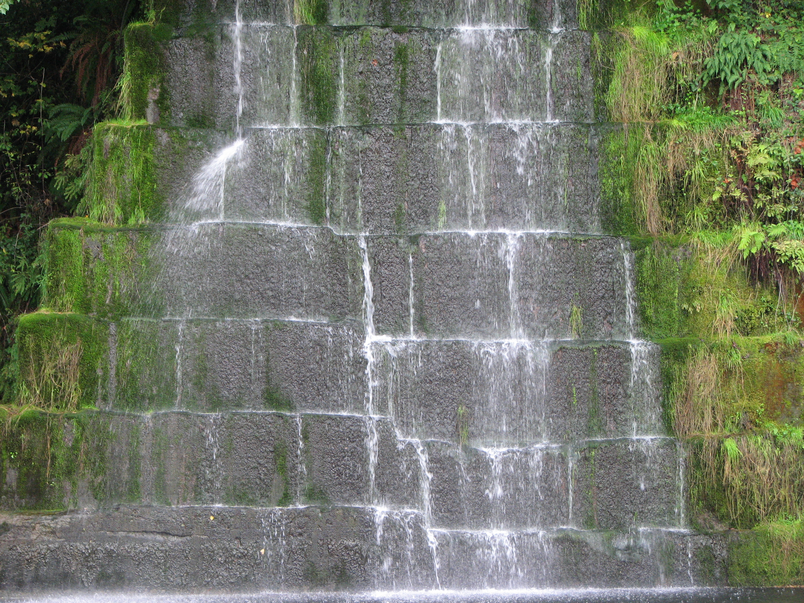
Quarry fountain

Tenino WWTP Solids Handling Lagoon
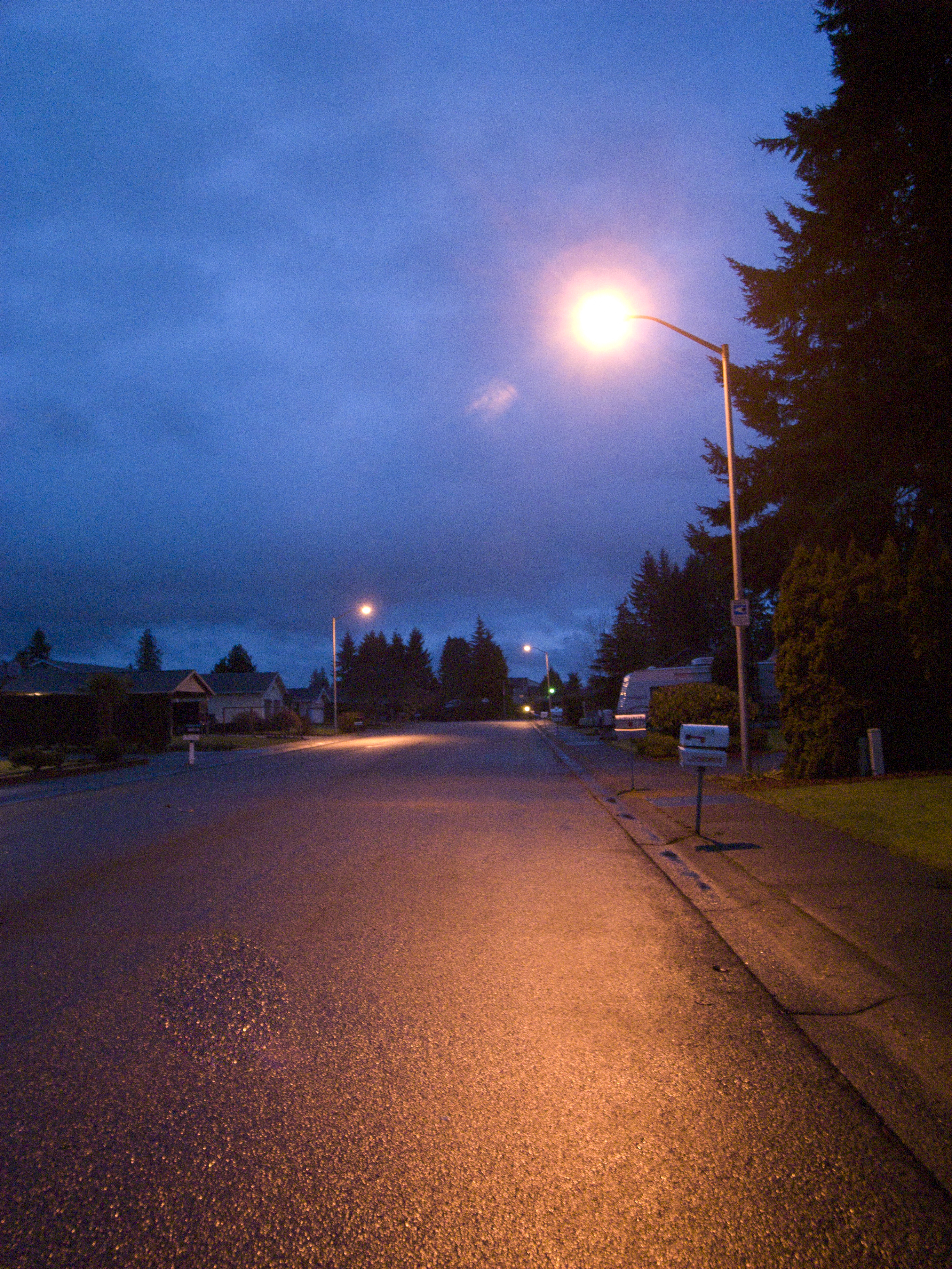
Street light of my daily life

Horseshoe Bend
Skookumchuck River
Topographic Map of Northridge Dr, Centralia, WA, USA
Find elevation by address:

Places near Northridge Dr, Centralia, WA, USA:
3711 Prairie Ave
3719 Prairie Ave
17933 Desimone Ct Sw
17143 Old Hwy 99 Se
Bucoda
S Nenant St, Bucoda, WA, USA
18419 Bucoda Hwy Se
15843 Case Rd Sw
3744 Blumauer Road Southeast
Tenino
299 Hodgden St S
2529 Nature Ln Se
Tierney St SW, Olympia, WA, USA
Capitol City Rifle/pistol Club
13730 Erskine Rd Sw
7525 Skookumchuck Rd Se
10411 Carney Dr Se
10740 Littlerock Rd Sw
11525 Endicott Rd Sw
Thurston County
Recent Searches:
- Elevation of Luther Road, Luther Rd, Auburn, CA, USA
- Elevation of Unnamed Road, Respublika Severnaya Osetiya — Alaniya, Russia
- Elevation of Verkhny Fiagdon, North Ossetia–Alania Republic, Russia
- Elevation of F. Viola Hiway, San Rafael, Bulacan, Philippines
- Elevation of Herbage Dr, Gulfport, MS, USA
- Elevation of Lilac Cir, Haldimand, ON N3W 2G9, Canada
- Elevation of Harrod Branch Road, Harrod Branch Rd, Kentucky, USA
- Elevation of Wyndham Grand Barbados Sam Lords Castle All Inclusive Resort, End of Belair Road, Long Bay, Bridgetown Barbados
- Elevation of Iga Trl, Maggie Valley, NC, USA
- Elevation of N Co Rd 31D, Loveland, CO, USA