Elevation of Northland Avenue, Northland Ave, San Ramon, CA, USA
Location: United States > California > Contra Costa County > San Ramon >
Longitude: -121.94027
Latitude: 37.731313
Elevation: 119m / 390feet
Barometric Pressure: 100KPa
Elevation Map:
Satellite Map:
Related Photos:

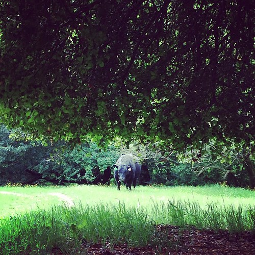
A Gnarly Sunset - California Oak

Rose 'Cherry Parfait' #2

DSC00001 - Version 2

Giddy-Up!
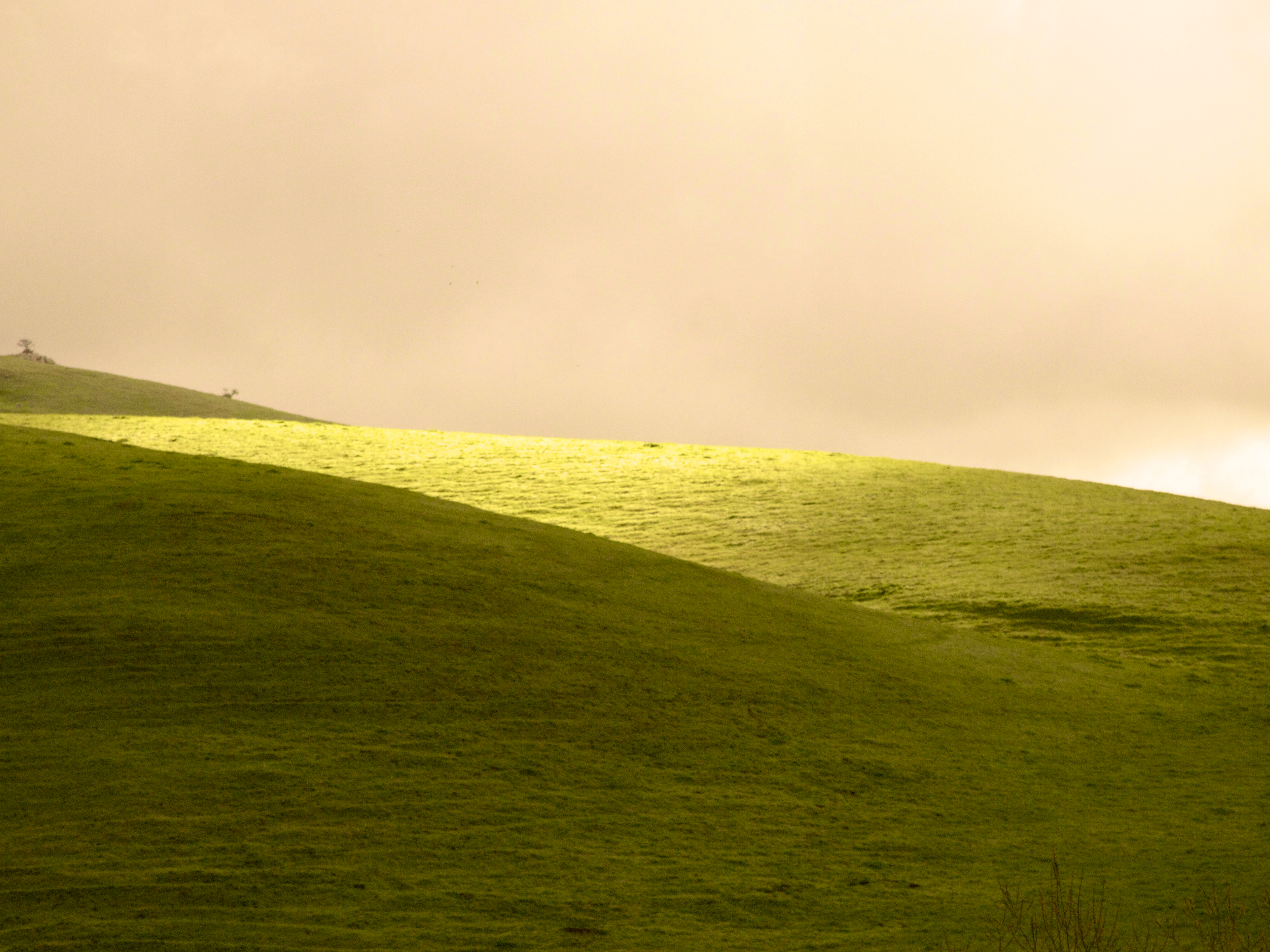
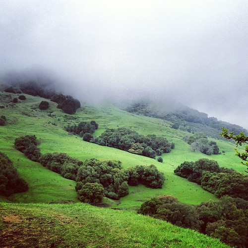
After the Rains
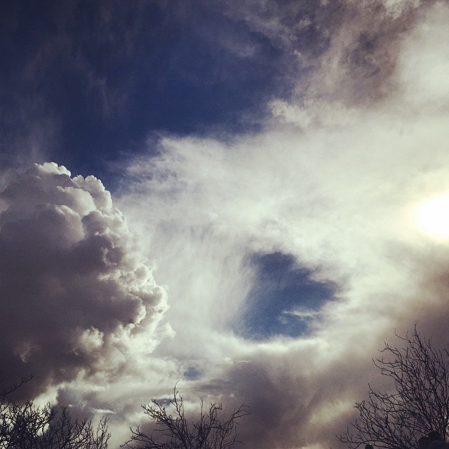
#cloud #sky #blue #circular #circle #sun #nature #view #scenery

Hillcrest 20170718

Horses taking in the views above Danville. © Sean Arbabi | seanarbabi.com (all rights reserved worldwide) #danvilleca #lastrampasregionalwilderness #eastbayregionalparks #sanfranciscobayarea #nikon #naturephotography #horses #horsesofinstagram

wheels on fire

Fluorescein Dye

Ever Seen the Movie Duel?
JA Lewis Park 20150326

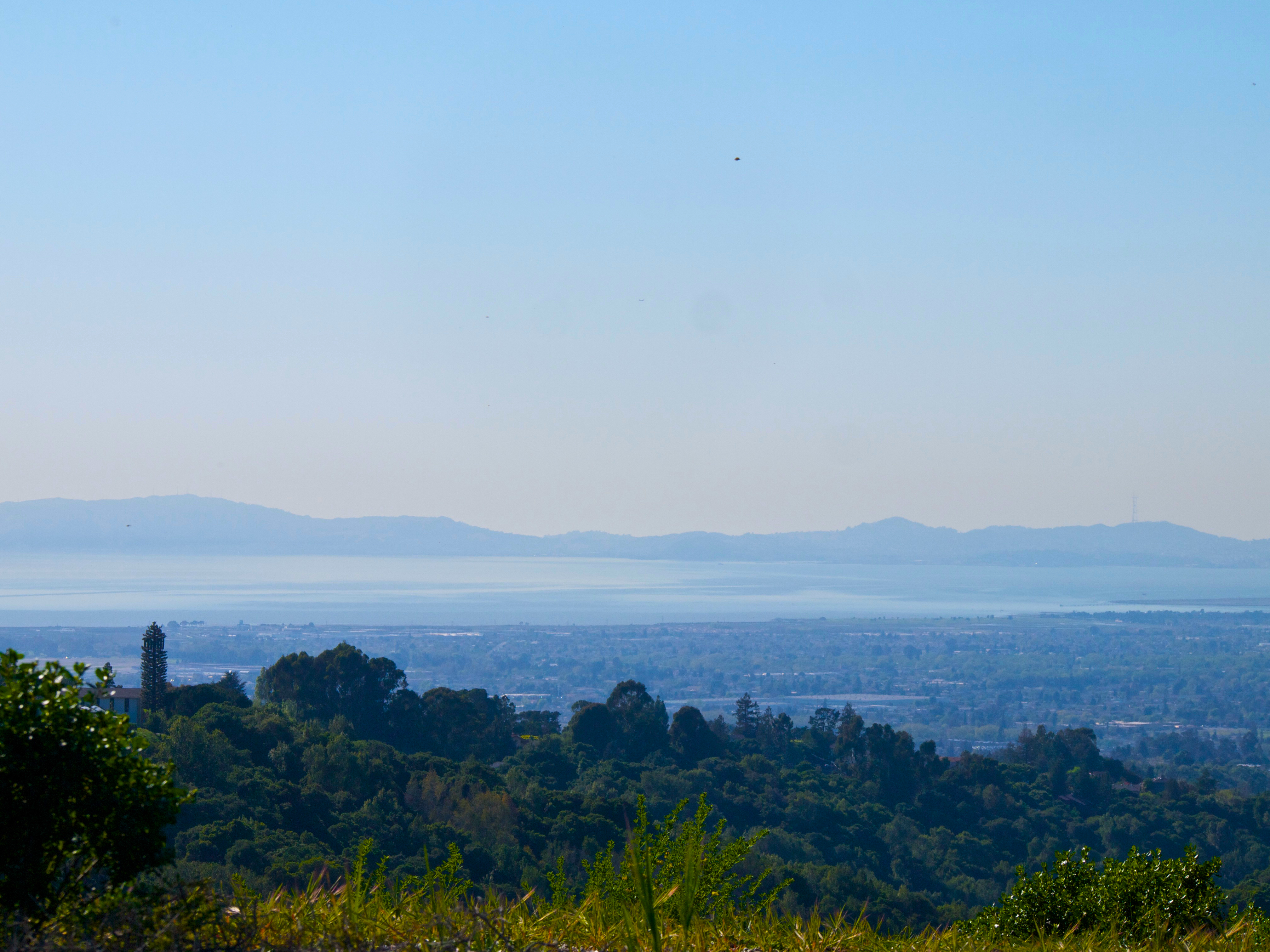
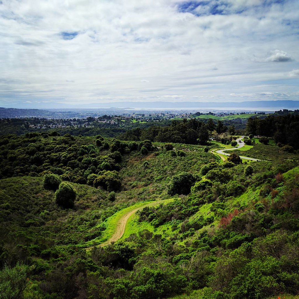
Night View of Tri-Valley

My fire in the light.

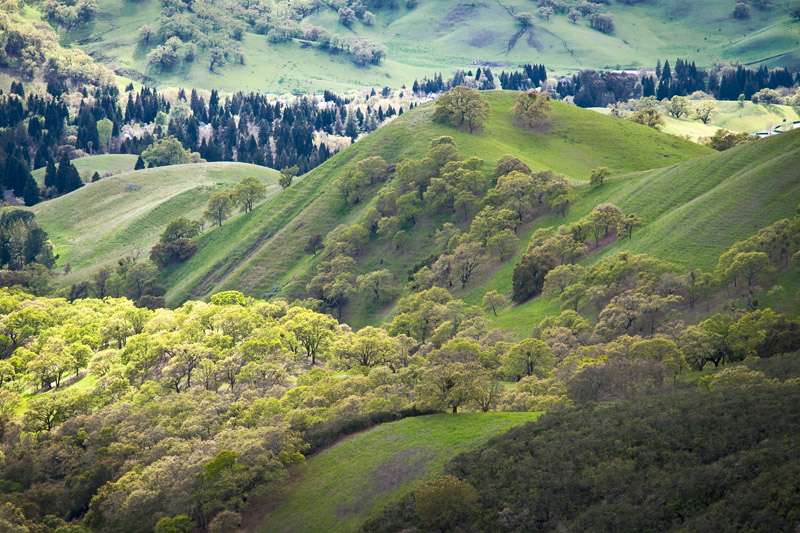
The hills are alive...
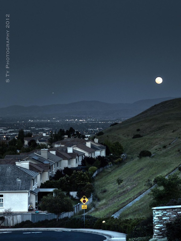
Serenity - Super Moon over Dublin 05-05-2012

Dumpster's Point of View
Stroke of Fall
#tree #cloud #sky #blue #storm #view #winter
dublin / pleasanton platform in the rain

curious squirrel
Lake Chabot
rain and sun alternating
Lake Chabot

Mount Diablo State Park: Rock City to Mt Diablo Summit • 6/11/17

Mount Diablo State Park: Rock City to Mt Diablo Summit • 6/11/17

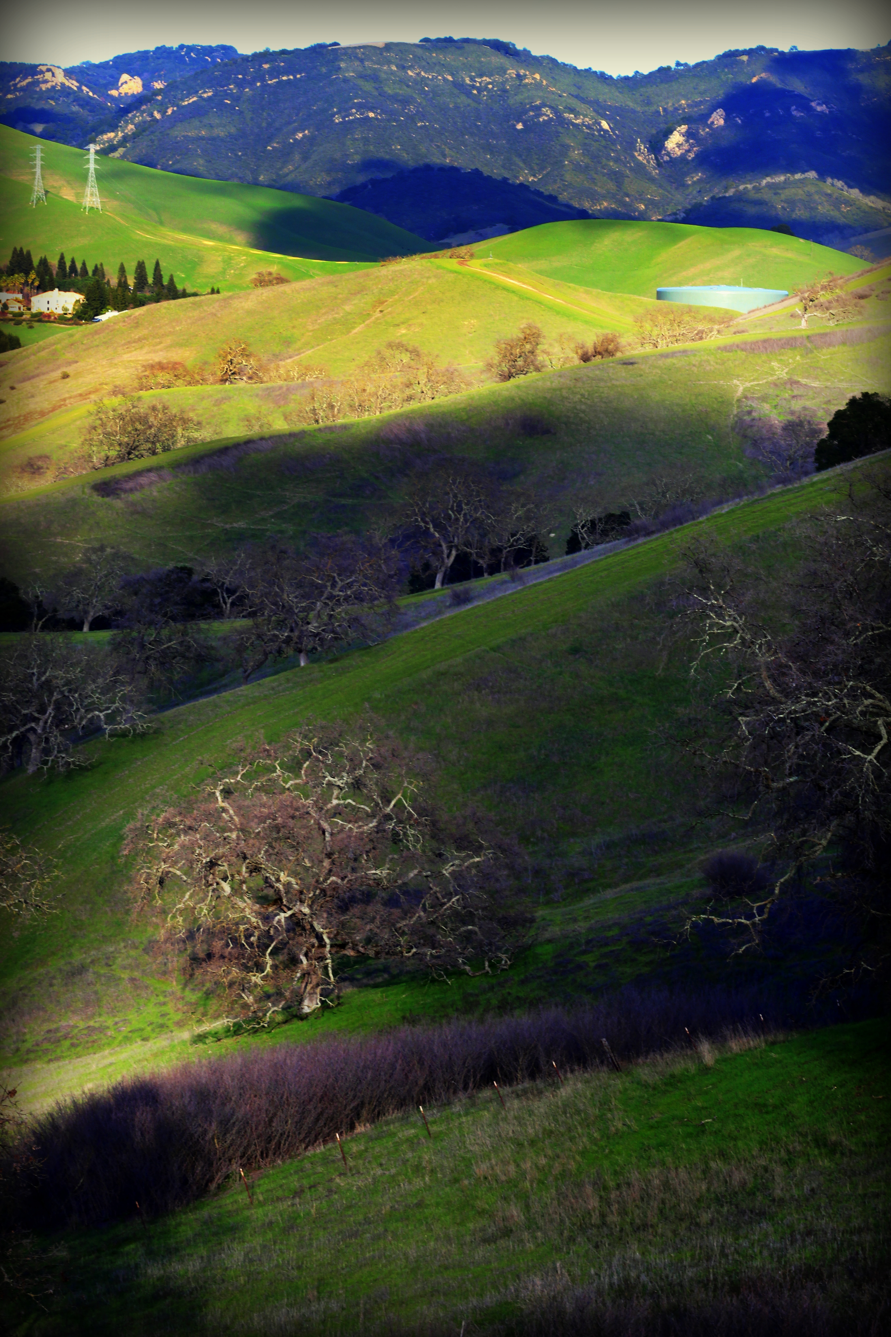
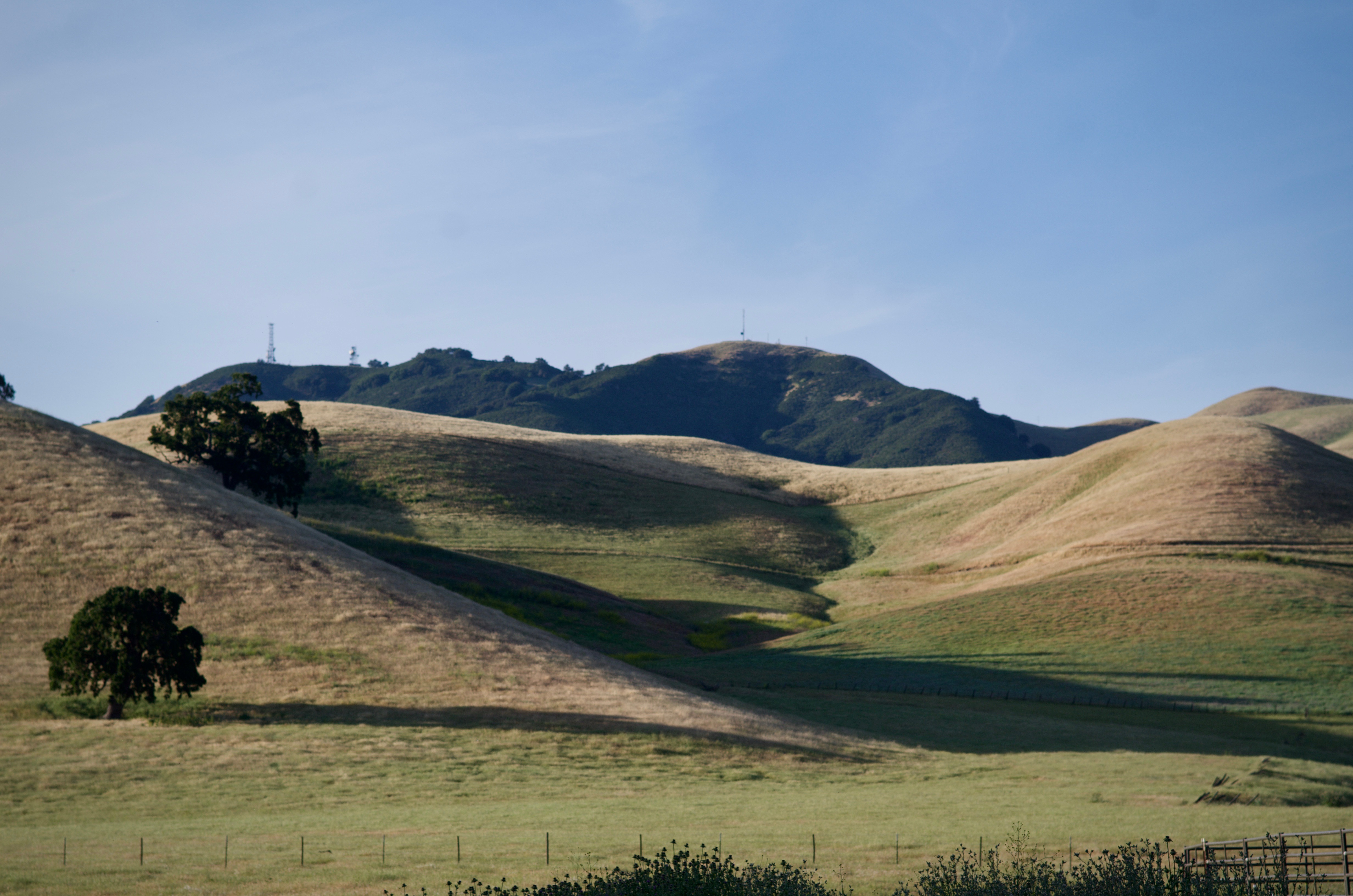
Las Trampas

Mount Diablo State Park: Rock City to Mt Diablo Summit • 6/11/17
Lake Chabot

Garin Regional Park
IMG_20170325_150349-PANO
Garin 20150227
Goodbye Stormy Skies

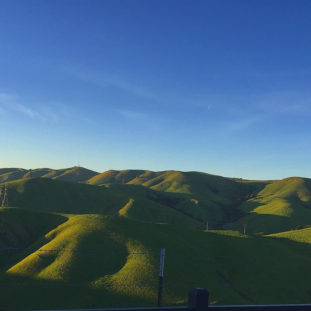
spring all the way
Something about these hills...remind me of Shrek.
endless e6
He was quietly brunching when I turned up right behind, glad he was so focus!
Th fog was rolling in quick!
Chabot Park
Reinstein Ranch
Topographic Map of Northland Avenue, Northland Ave, San Ramon, CA, USA
Find elevation by address:

Places near Northland Avenue, Northland Ave, San Ramon, CA, USA:
9440 Davona Dr
Baagan
8890 Bellina Commons
Sovereign Court
311 Kingsley Pl
69 Elmwood Dr
3100 Riviera Way
Davona Dr, Dublin, CA, USA
11915 W Vomac Rd
11351 Marwick Dr
2861 Millbridge Pl
7900 Shannon Ct
7711 Firebrand Dr
11610 Estrella Ct
4168 Greenwich Dr
Safeway
6883 Village Pkwy
San Ramon Rd, Dublin, CA, USA
Petco Animal Supplies
Dublin
Recent Searches:
- Elevation of 62 Abbey St, Marshfield, MA, USA
- Elevation of Fernwood, Bradenton, FL, USA
- Elevation of Felindre, Swansea SA5 7LU, UK
- Elevation of Leyte Industrial Development Estate, Isabel, Leyte, Philippines
- Elevation of W Granada St, Tampa, FL, USA
- Elevation of Pykes Down, Ivybridge PL21 0BY, UK
- Elevation of Jalan Senandin, Lutong, Miri, Sarawak, Malaysia
- Elevation of Bilohirs'k
- Elevation of 30 Oak Lawn Dr, Barkhamsted, CT, USA
- Elevation of Luther Road, Luther Rd, Auburn, CA, USA