Elevation map of Northern Province, Rwanda
Location: Rwanda >
Longitude: 29.8815203
Latitude: -1.656166
Elevation: 1766m / 5794feet
Barometric Pressure: 82KPa
Elevation Map:
Satellite Map:
Related Photos:

Rwanda, land of a 1000 hills, 1/16/09

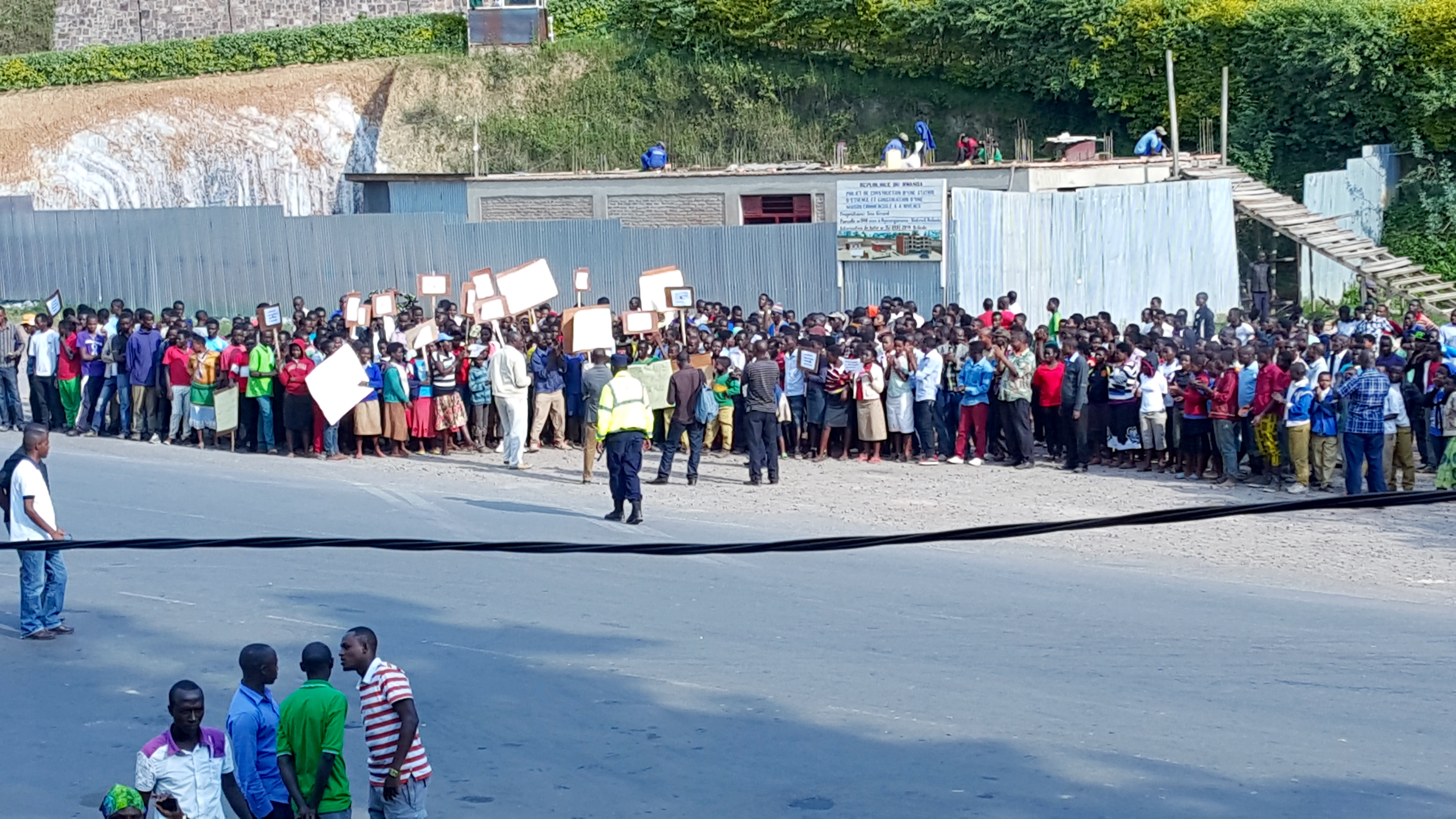
2013-07-10_Flickr_5327
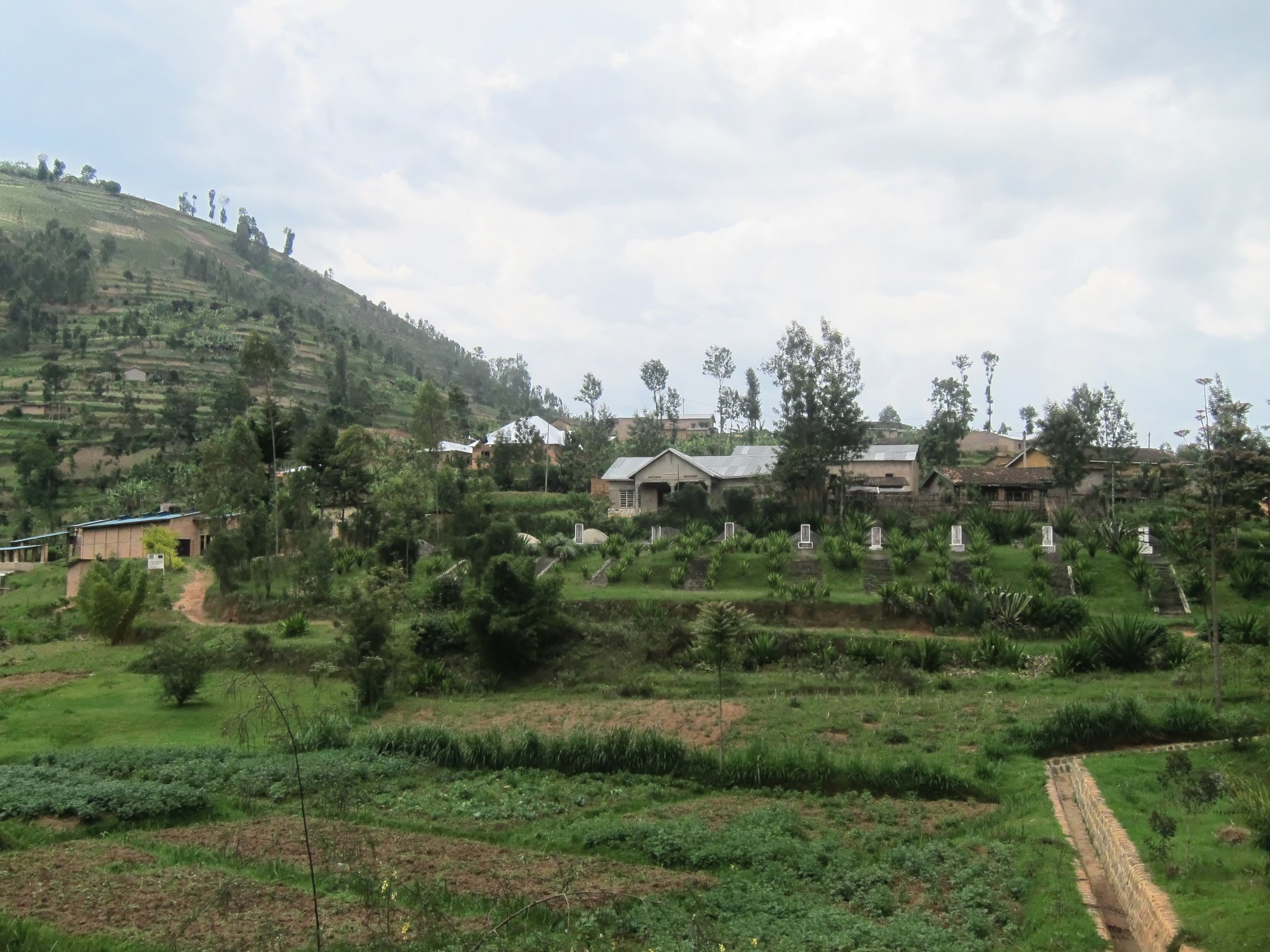
One of the many Genocide Memorials

2015-06-25 15.47.35
2015-06-25 15.47.38

Rwamahwa, Rwanda, Duke University, 2015
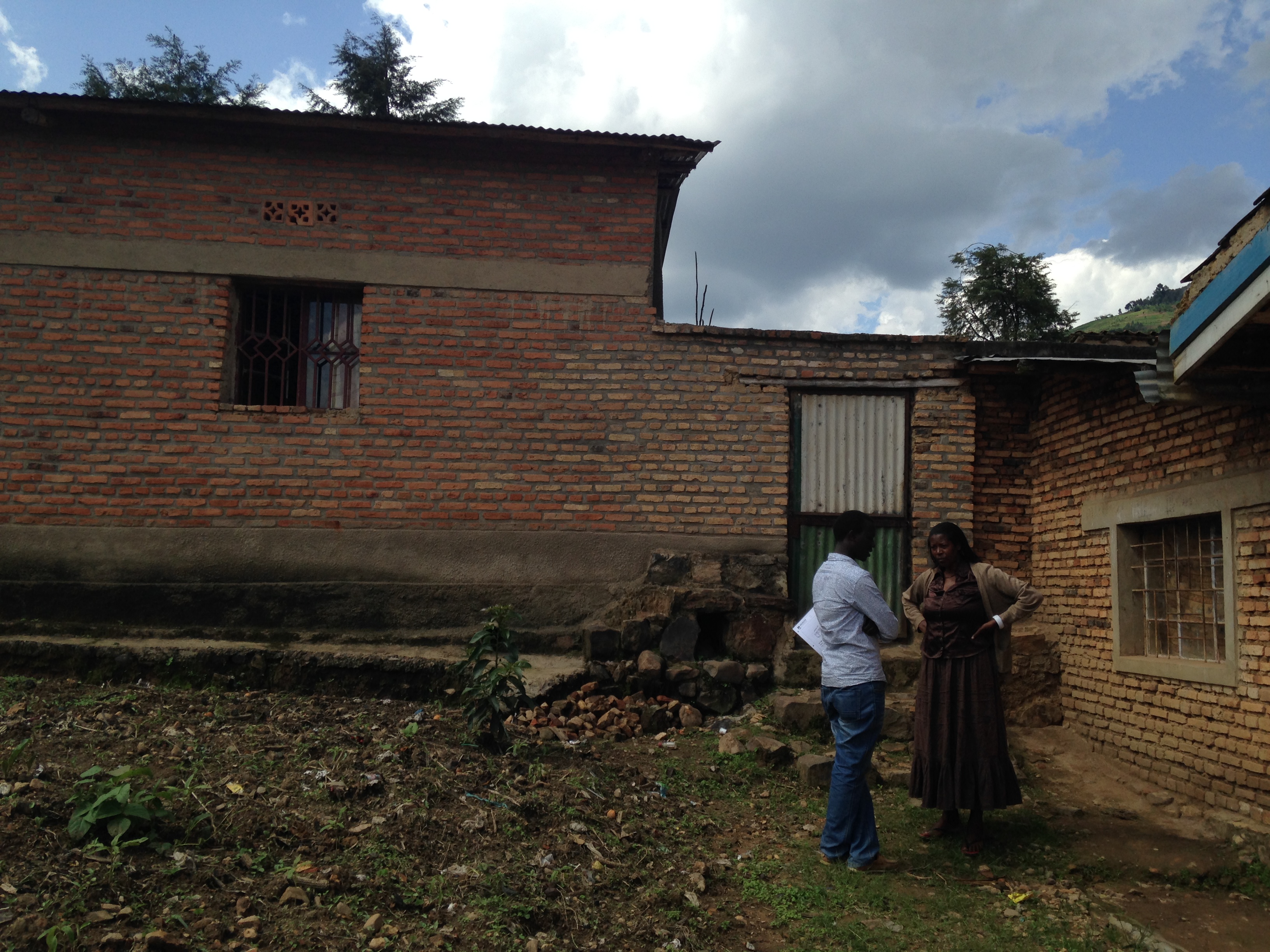
Rwamahwa, Rwanda, Duke University, 2015
Topographic Map of Northern Province, Rwanda
Find elevation by address:

Places in Northern Province, Rwanda:
Places near Northern Province, Rwanda:
Gakenke
Musasa
Burera
Byumba
Byumba
Gicumbi
Muhanga
Rwanda
Ruhengeri
Unnamed Road
Nyabihu
Nyabugogo
Kigali City Tower
Centenary House
Kiyovu
Nyarugenge
Kinigi
Nyarugenge
Musanze
Ngarama
Recent Searches:
- Elevation of Pykes Down, Ivybridge PL21 0BY, UK
- Elevation of Jalan Senandin, Lutong, Miri, Sarawak, Malaysia
- Elevation of Bilohirs'k
- Elevation of 30 Oak Lawn Dr, Barkhamsted, CT, USA
- Elevation of Luther Road, Luther Rd, Auburn, CA, USA
- Elevation of Unnamed Road, Respublika Severnaya Osetiya — Alaniya, Russia
- Elevation of Verkhny Fiagdon, North Ossetia–Alania Republic, Russia
- Elevation of F. Viola Hiway, San Rafael, Bulacan, Philippines
- Elevation of Herbage Dr, Gulfport, MS, USA
- Elevation of Lilac Cir, Haldimand, ON N3W 2G9, Canada