Elevation of North Tower Hill Road, N Tower Hill Rd, Millbrook, NY, USA
Location: United States > New York > Dutchess County > Amenia > Wassaic >
Longitude: -73.606596
Latitude: 41.8098824
Elevation: 345m / 1132feet
Barometric Pressure: 97KPa
Elevation Map:
Satellite Map:
Related Photos:
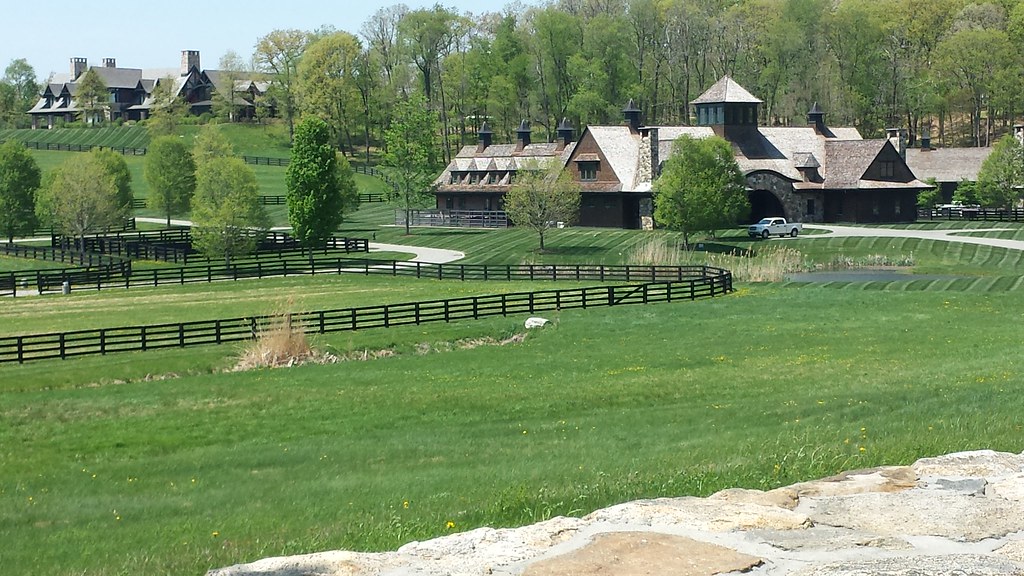
One of my first drives exploring my environs of Amenia

View from Bel Meadow (56)

Camera Roll-3260

Crab Spider on Daisy

Innisfree Garden

Wassaic View

Wassaic view and sculpture

return to fall...

Inside Dover Stone Church 2

Camera Roll-2845 River Rd

Back to the Future

Docked Boats

Heron Rookery

Bennett College

Back to the Future
Camera Roll-3154

Amenia School

One of Us Must Have the Season Wrong

United Presbyterian Church of Amenia; Front

0U1A1547 Old Amenia Burying Ground - PAINE GPS 41.86036 -73.54781

Hollow-spotted Blepharomastix (Blepharomastix ranalis)

Stone Church

Autumn in New York

Camera Roll-8

Across the River
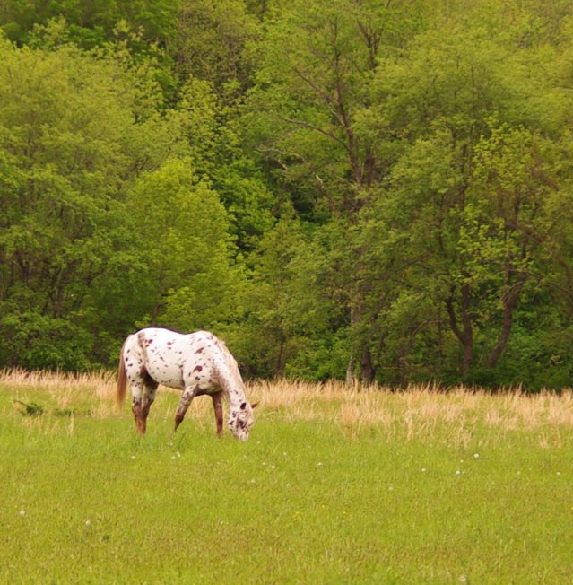
Horse Paint

Camera Roll-3427

Camera Roll-3431

Camera Roll-3263

Camera Roll-3379

Bennett School for Girls

Camera Roll-3374

Camera Roll-3261

Wassaic State School 5

Wassaic State School 3

Bennett School for Girls

Camera Roll-3248

Camera Roll-3247

Camera Roll-3246
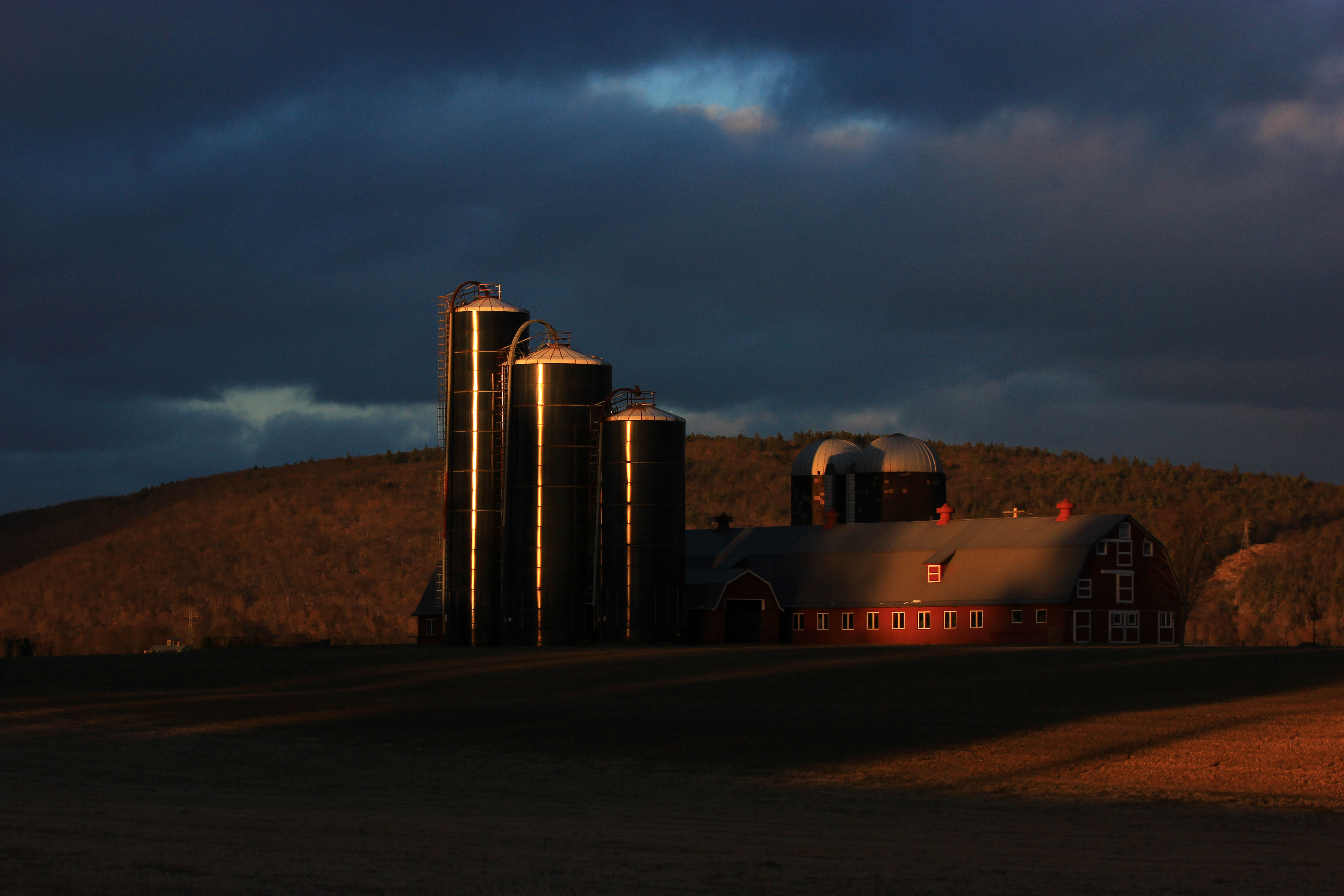
After the Storm
[]
Topographic Map of North Tower Hill Road, N Tower Hill Rd, Millbrook, NY, USA
Find elevation by address:

Places near North Tower Hill Road, N Tower Hill Rd, Millbrook, NY, USA:
North Tower Hill Road
Butts Hollow Road
144 Butts Hollow Rd
Old Rte 22, Wassaic, NY, USA
Wassaic
350 Hammond Hill Rd
320 Hammond Hill Rd
320 Hammond Hill Rd
320 Hammond Hill Rd
320 Hammond Hill Rd
300 Hammond Hill Rd
300 Hammond Hill Rd
290 Hammond Hill Rd
280 Hammond Hill Rd
200 Hammond Hill Rd
260 Hammond Hill Rd
US-44, Millbrook, NY, USA
Hammond Hill Road
10 Hammond Hill Rd
Amenia
Recent Searches:
- Elevation of Congressional Dr, Stevensville, MD, USA
- Elevation of Bellview Rd, McLean, VA, USA
- Elevation of Stage Island Rd, Chatham, MA, USA
- Elevation of Shibuya Scramble Crossing, 21 Udagawacho, Shibuya City, Tokyo -, Japan
- Elevation of Jadagoniai, Kaunas District Municipality, Lithuania
- Elevation of Pagonija rock, Kranto 7-oji g. 8"N, Kaunas, Lithuania
- Elevation of Co Rd 87, Jamestown, CO, USA
- Elevation of Tenjo, Cundinamarca, Colombia
- Elevation of Côte-des-Neiges, Montreal, QC H4A 3J6, Canada
- Elevation of Bobcat Dr, Helena, MT, USA