Elevation of North Stormont, ON, Canada
Location: Canada > Ontario > Stormont, Dundas And Glengarry United Counties >
Longitude: -75.095366
Latitude: 45.1907885
Elevation: 74m / 243feet
Barometric Pressure: 100KPa
Elevation Map:
Satellite Map:
Related Photos:
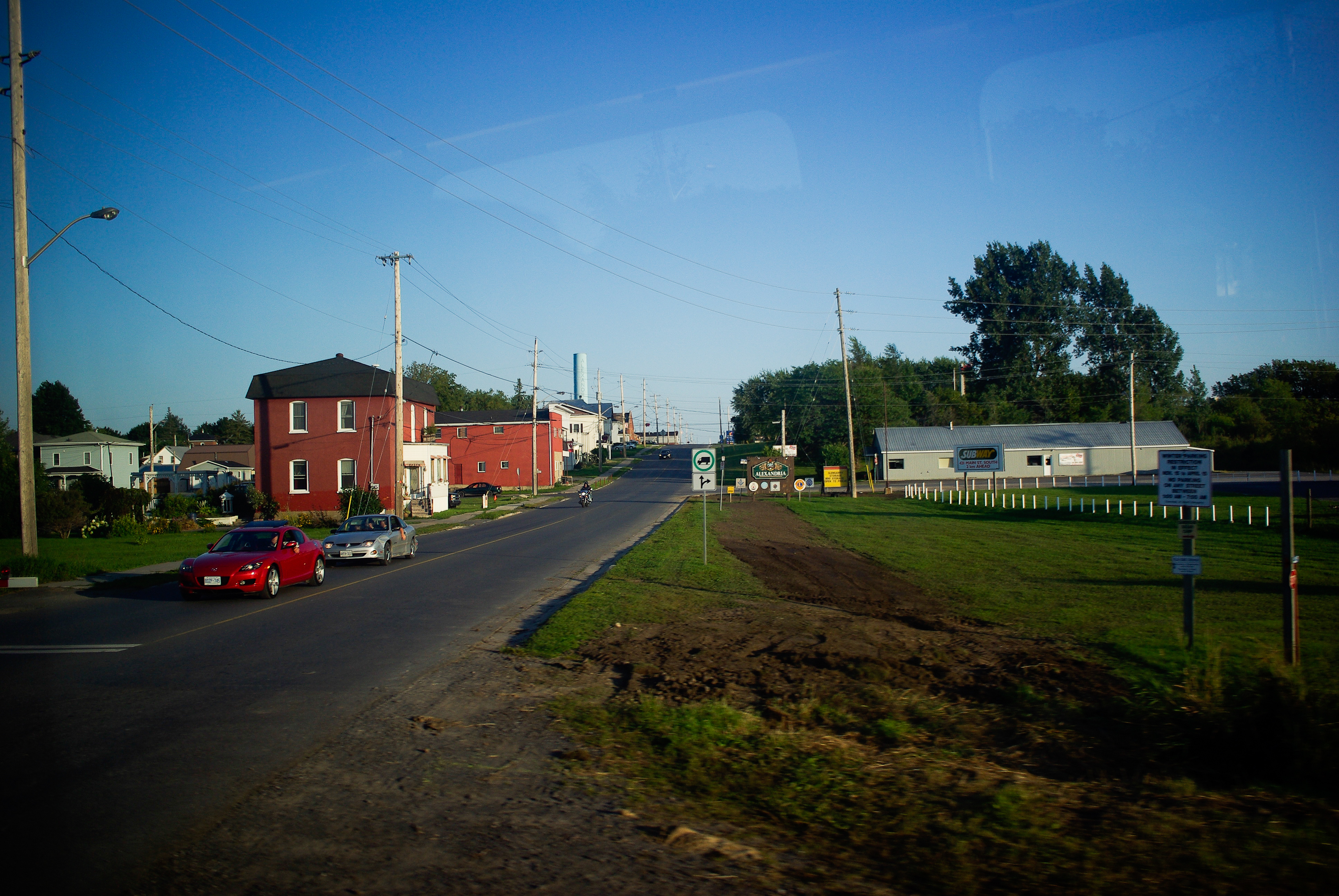
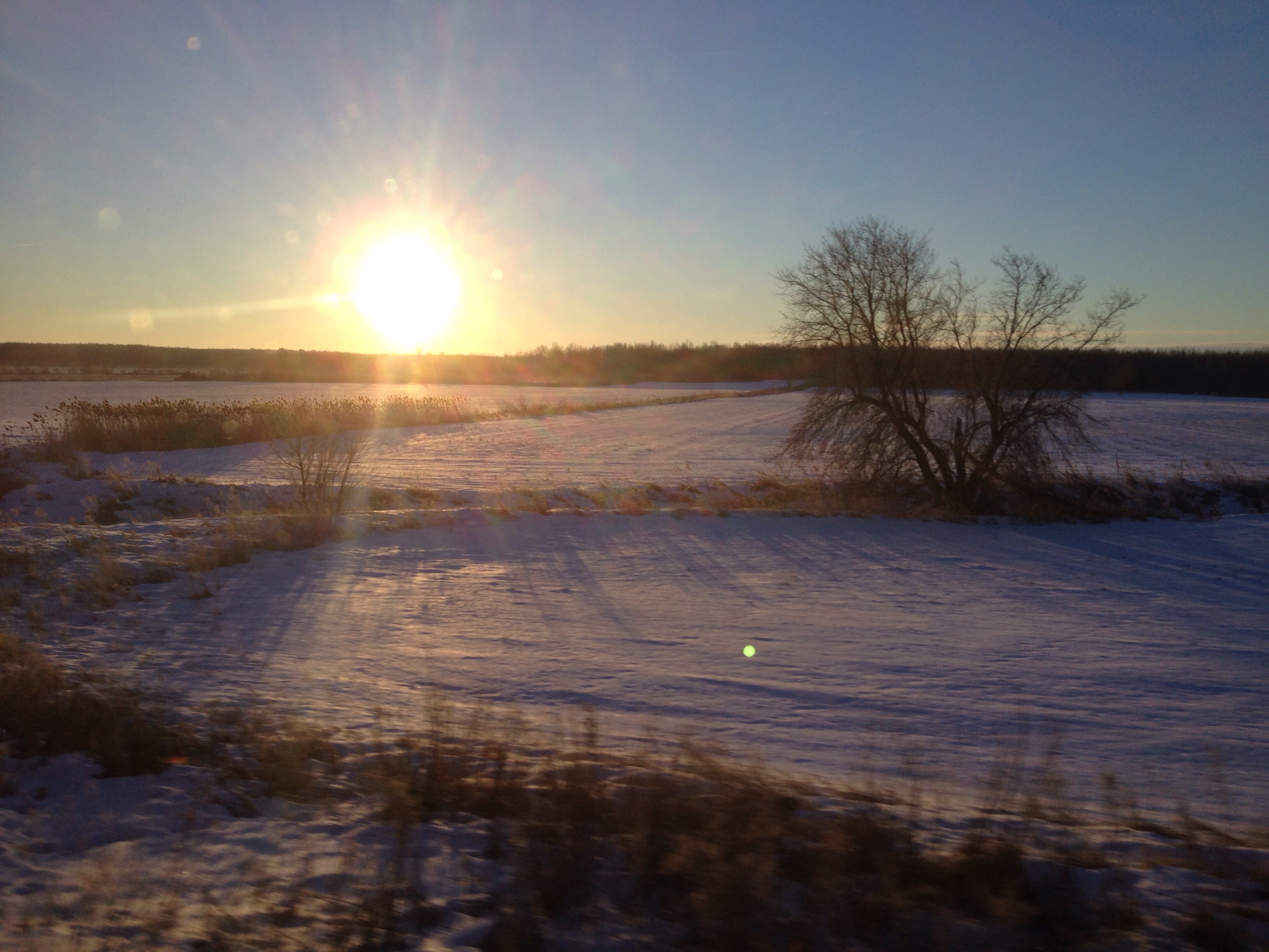
Trans Canada Train 15
Trans Canada Train 10
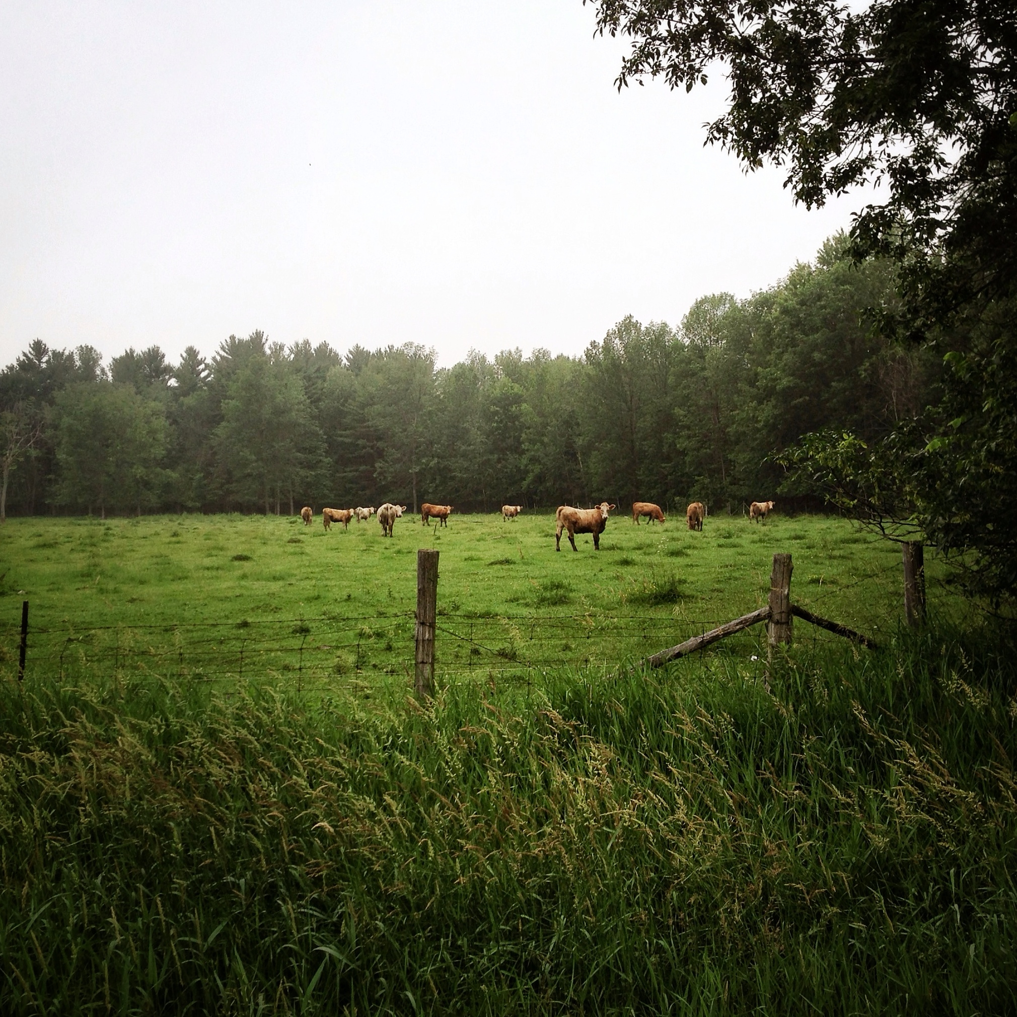
365: Day 178

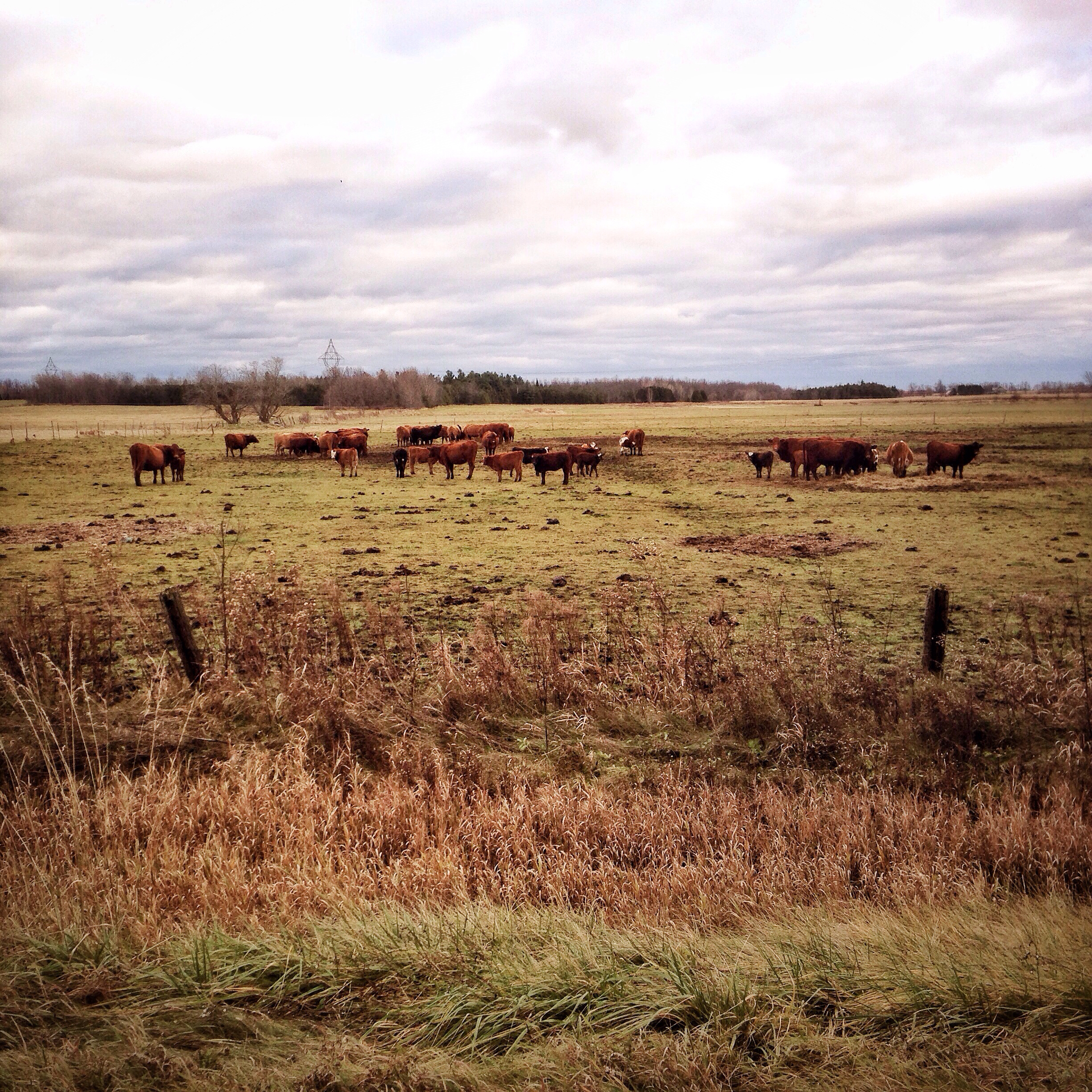
365: Day 318

Northern Hawk Owl - Surnia ulula - Classic Pose
365: Day 312
Montreal (-19 degrés)
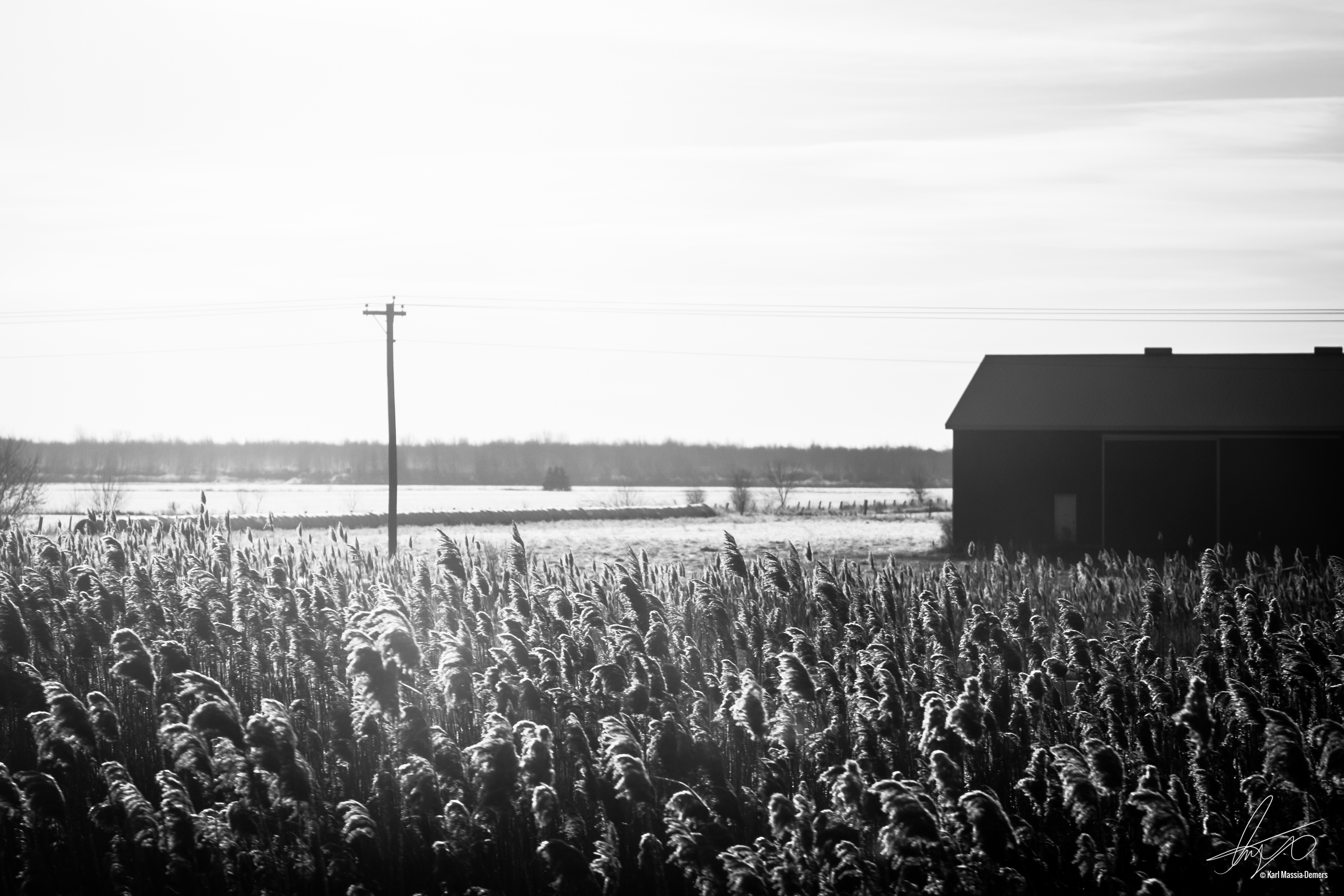
29112014_083720-1.jpg

South Nation River at Casselman - Upstream
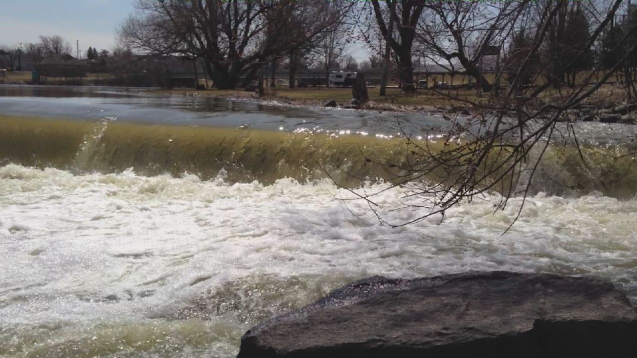
Casselman Dam video

Stark Sky
Topographic Map of North Stormont, ON, Canada
Find elevation by address:

Places in North Stormont, ON, Canada:
Monkland
Finch
ON-, Maxville, ON K0C 1T0, Canada
County Rd 32, North Stormont, ON K0A 1R0, Canada
Bloomington Rd, Maxville, ON K0C 1T0, Canada
Crysler
Places near North Stormont, ON, Canada:
40 Front St, Finch, ON K0C 1K0, Canada
Finch
South Nation Conservation
Crysler
Goldfield Rd S, Finch, ON K0C 1K0, Canada
County Rd 12, Newington, ON K0C 1Y0, Canada
Newington
Metro
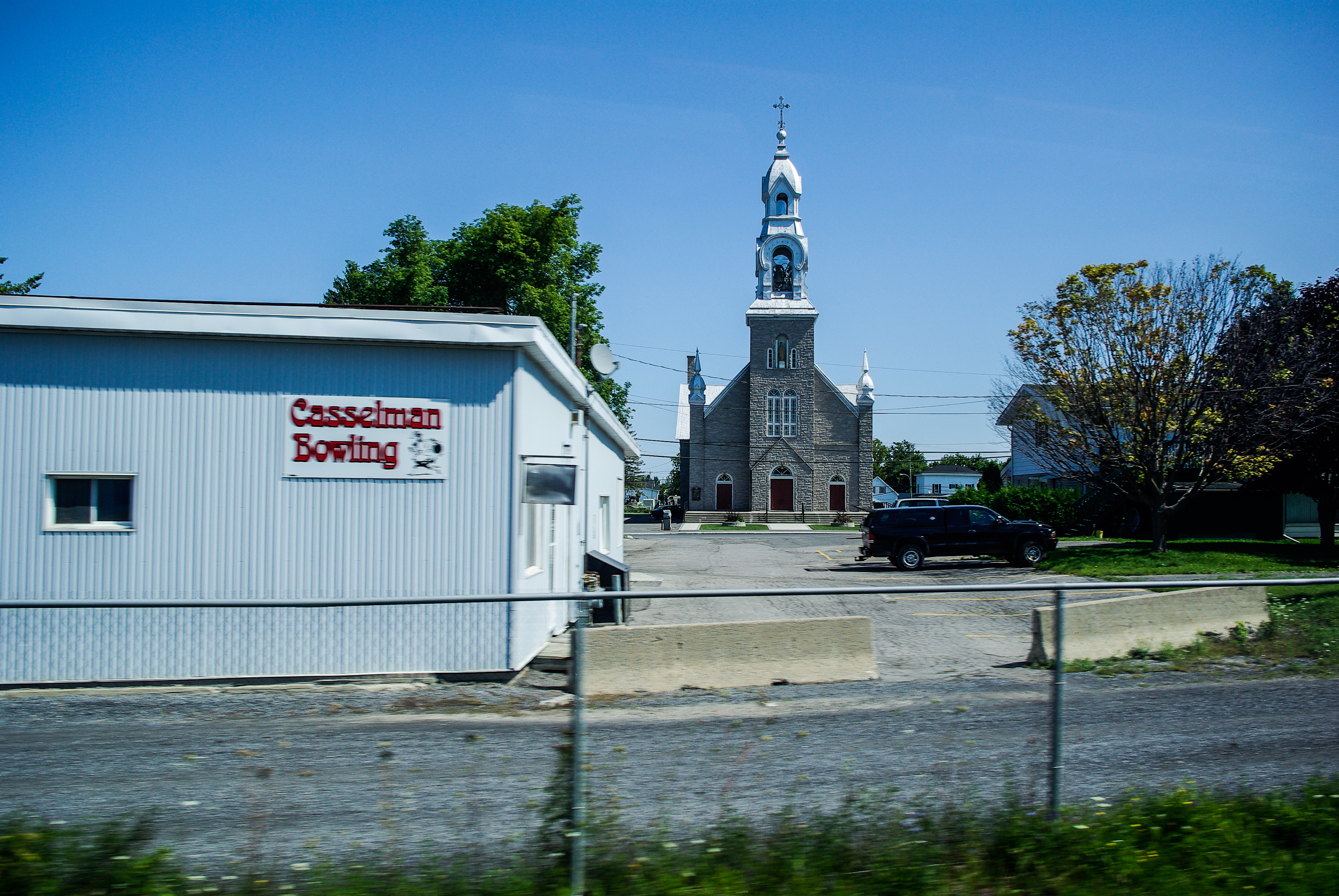
Casselman
13666 Limerick Rd
North Valley
15415 Cooper Rd
County Rd 32, North Stormont, ON K0A 1R0, Canada
15502 Cooper Rd
1400 Lacroix Rd
53 Larose Ln, Embrun, ON K0A 1W0, Canada
Chesterville
K0c 1h0
Beckstead Rd, Chesterville, ON K0C 1H0, Canada
County Rd 8, Chesterville, ON K0C 1H0, Canada
Recent Searches:
- Elevation of Corso Fratelli Cairoli, 35, Macerata MC, Italy
- Elevation of Tallevast Rd, Sarasota, FL, USA
- Elevation of 4th St E, Sonoma, CA, USA
- Elevation of Black Hollow Rd, Pennsdale, PA, USA
- Elevation of Oakland Ave, Williamsport, PA, USA
- Elevation of Pedrógão Grande, Portugal
- Elevation of Klee Dr, Martinsburg, WV, USA
- Elevation of Via Roma, Pieranica CR, Italy
- Elevation of Tavkvetili Mountain, Georgia
- Elevation of Hartfords Bluff Cir, Mt Pleasant, SC, USA