Elevation of North Oscura Peak, New Mexico, USA
Location: United States > New Mexico > Socorro County >
Longitude: -106.37222
Latitude: 33.7528491
Elevation: 2428m / 7966feet
Barometric Pressure: 75KPa
Elevation Map:
Satellite Map:
Related Photos:
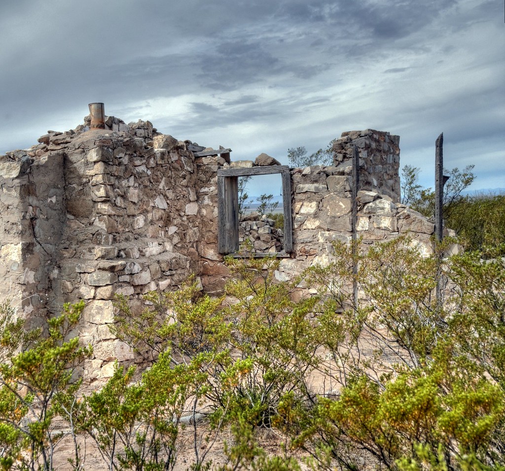
A R D U O U S
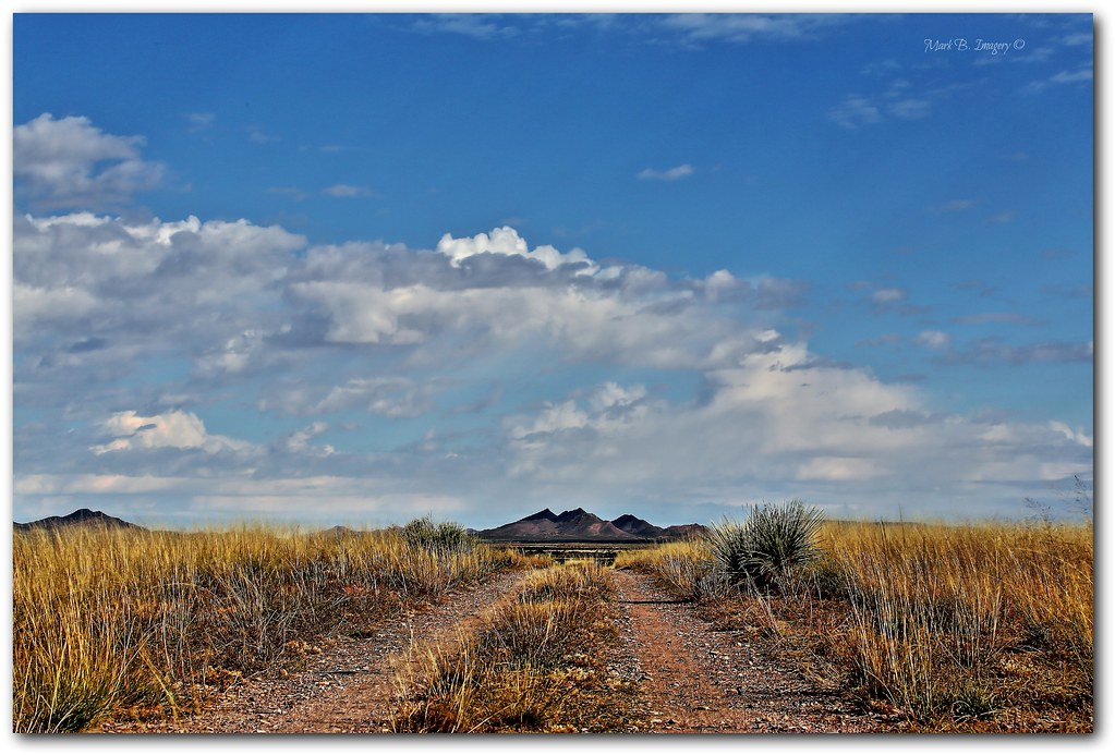
View to a kill
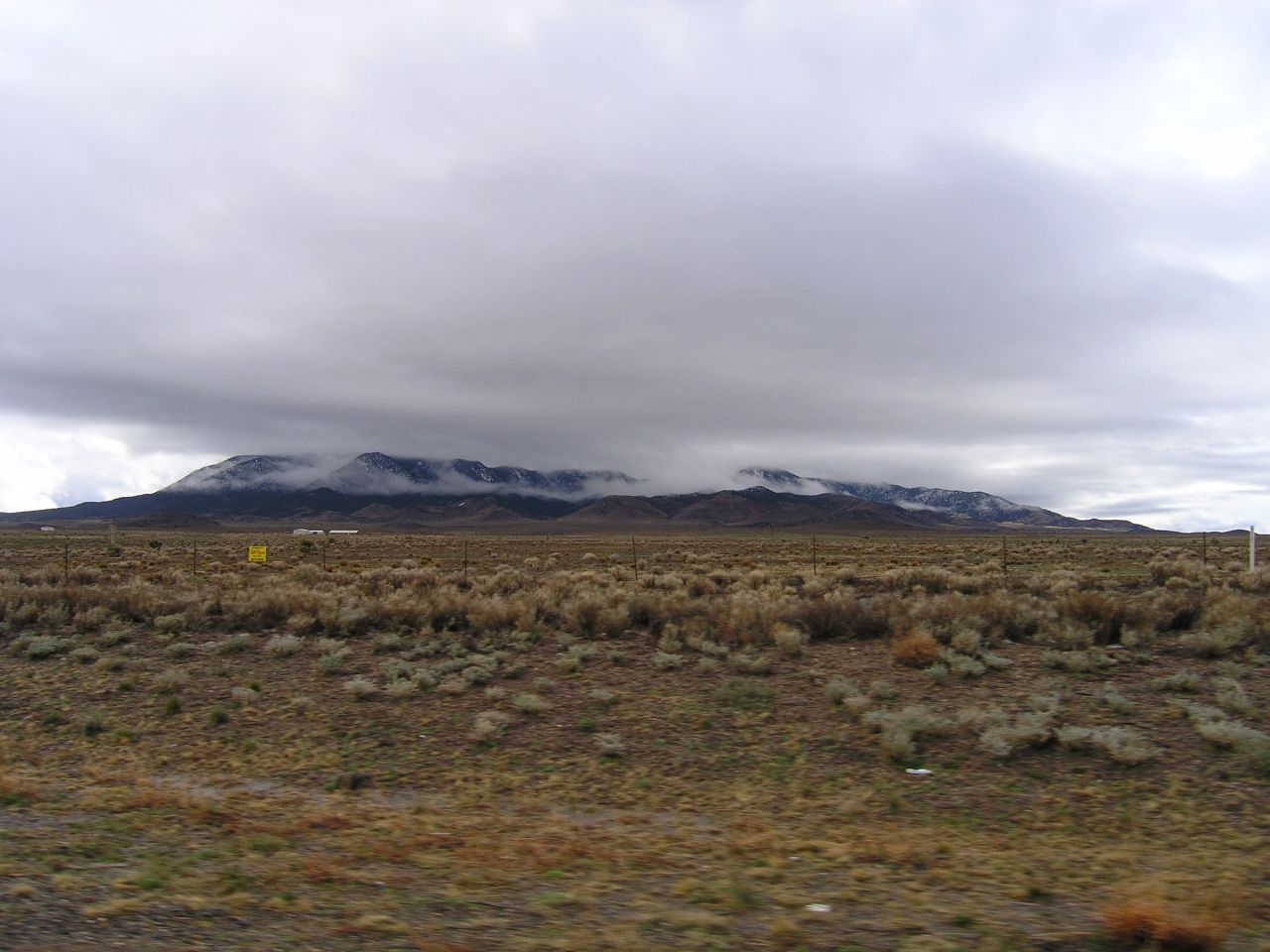
Roadside view
Topographic Map of North Oscura Peak, New Mexico, USA
Find elevation by address:

Places near North Oscura Peak, New Mexico, USA:
Adobe Ranch
Socorro County
1 Montoya
1 Montoya
San Antonio
Bosquecito Rd, San Antonio, NM, USA
Claunch
Gran Quivira Visitor Center
Lone Mountain
Hogback Ridge
Black Ridge
Cattle Garden Mesa
Whiteface Mountain
Jicarilla Mountains
Moho Trail
Ancho Peak
3441 Jumano Trail
Trueno Loop
Jicarilla Peak
20 Calle De Centro S, La Joya, NM, USA
Recent Searches:
- Elevation of Corso Fratelli Cairoli, 35, Macerata MC, Italy
- Elevation of Tallevast Rd, Sarasota, FL, USA
- Elevation of 4th St E, Sonoma, CA, USA
- Elevation of Black Hollow Rd, Pennsdale, PA, USA
- Elevation of Oakland Ave, Williamsport, PA, USA
- Elevation of Pedrógão Grande, Portugal
- Elevation of Klee Dr, Martinsburg, WV, USA
- Elevation of Via Roma, Pieranica CR, Italy
- Elevation of Tavkvetili Mountain, Georgia
- Elevation of Hartfords Bluff Cir, Mt Pleasant, SC, USA