Elevation map of North Kalimantan, Indonesia
Location: Indonesia >
Longitude: 116.622328
Latitude: 3.5892344
Elevation: 6m / 20feet
Barometric Pressure: 101KPa
Elevation Map:
Satellite Map:
Related Photos:

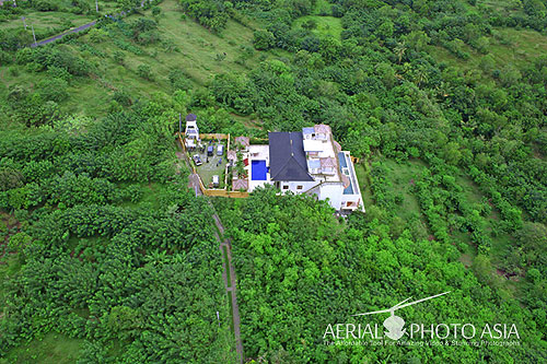
Likas Bay, Kota Kinabalu, Malaysia

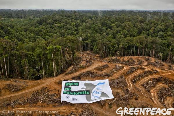
Habitat Destruction
Aerial PhotoVideo Auckland, Christchurch, Wellington ,Hamilton Urban Area, Napier-Hastings Urban Area ,Tauranga, Dunedin ,Palmerston North, Nelson, Rotorua, New Plymouth, Whangarei, Invercargill ,Whanganui,Gisborne
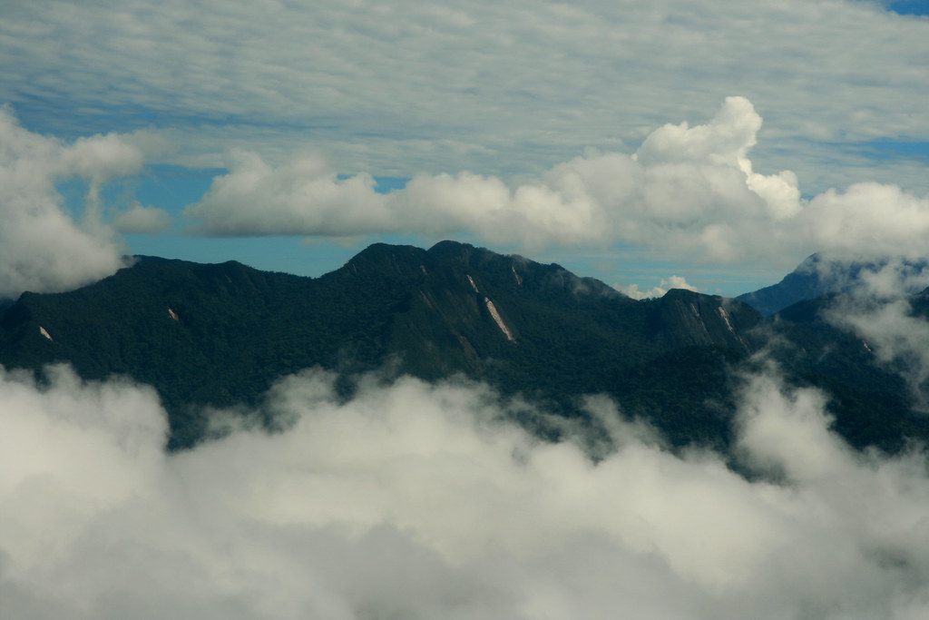
Mountainous view
Zero Deforestation?
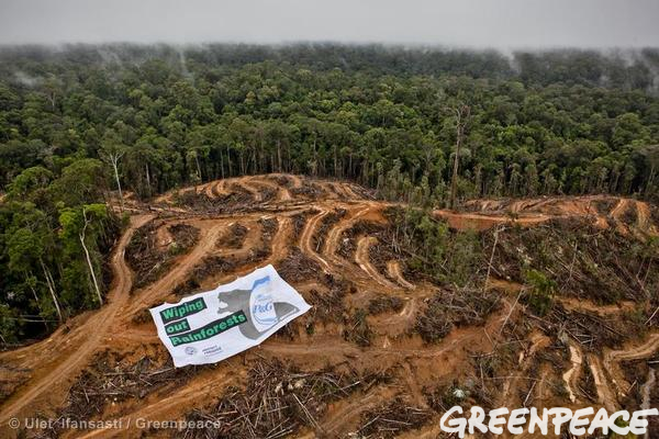
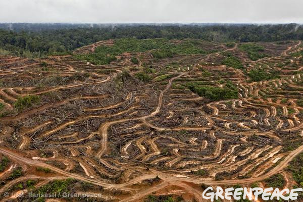
Palm Oil Destruction
Oranguntan Home
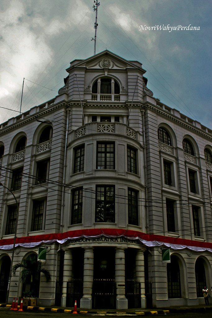
PT PP London Sumatra Medan

North by Northwest
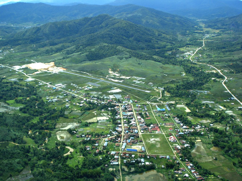
Arial view of Bario
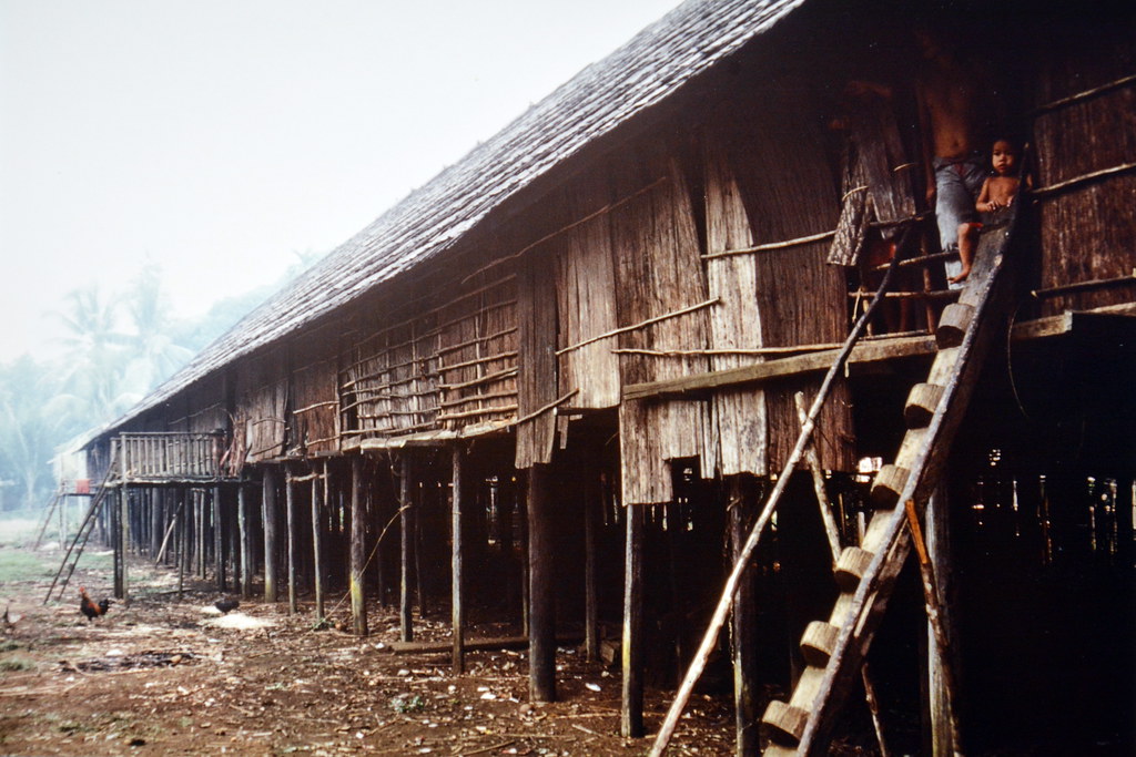
Borneo - Long House - 1

Borneo - Long House - 2

Borneo - Sabah - Mount Kinabalu (4.095 m) - 2
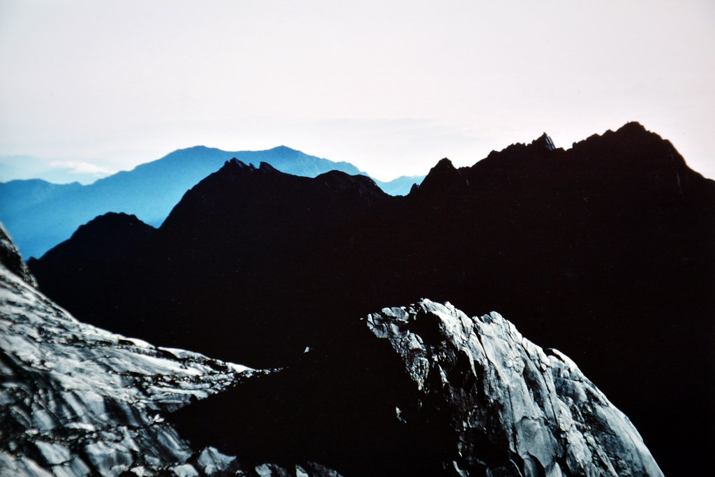
Borneo - Sabah - Mount Kinabalu - View From Summit - 4

Borneo - Sabah - Mount Kinabalu - View From Summit - 5
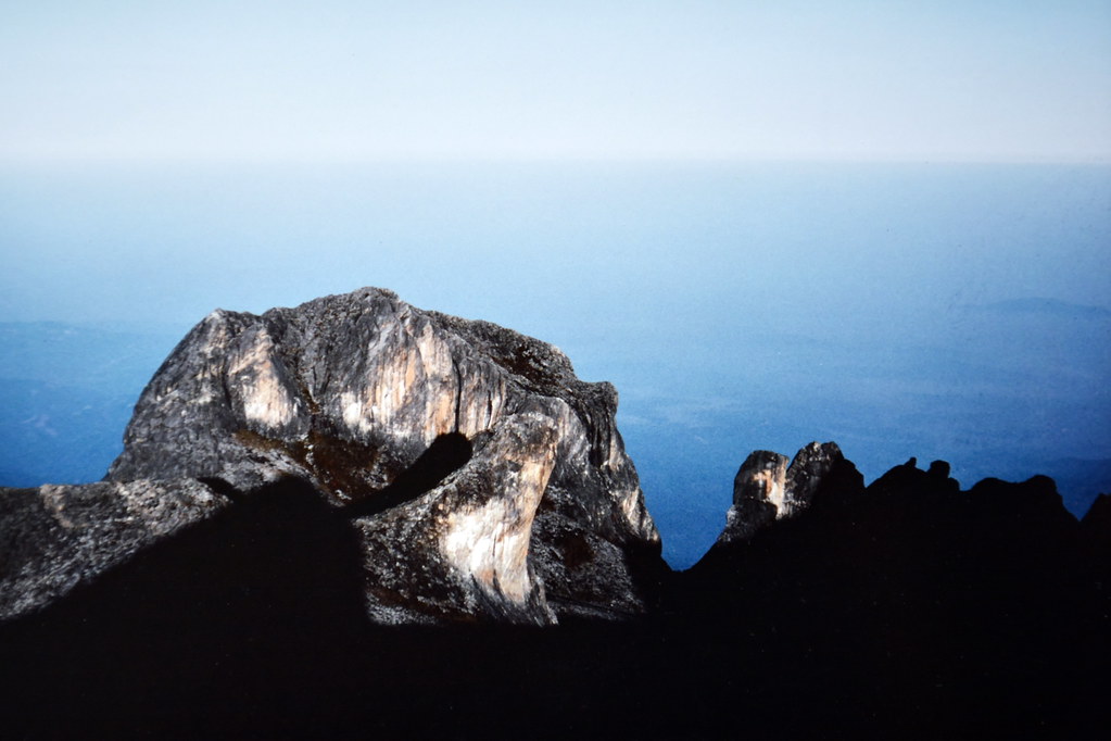
Borneo - Sabah - Mount Kinabalu - View From Summit - 6

Borneo - Sabah - Mount Kinabalu - 7

Borneo - Sabah - Mount Kinabalu - Summit At 4.095 m
Borneo - Sabah - Mount Kinabalu National Park - 10

Borneo - Woman At Long House
nature of my game
SUNSET TRIP IN KUBU LAKE 20121122_173446
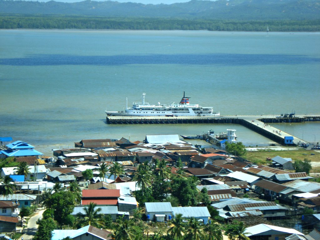
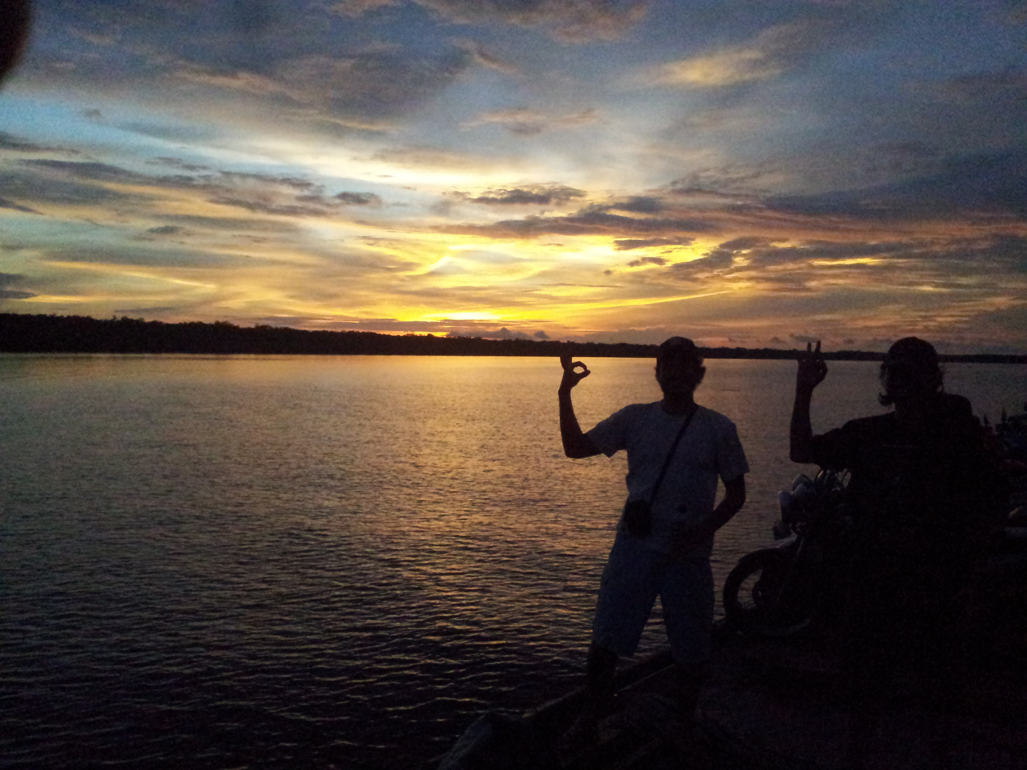
Departing Nunukan

BATUAMPAR VILLAGE WEST KALIMANTAN DSC07155
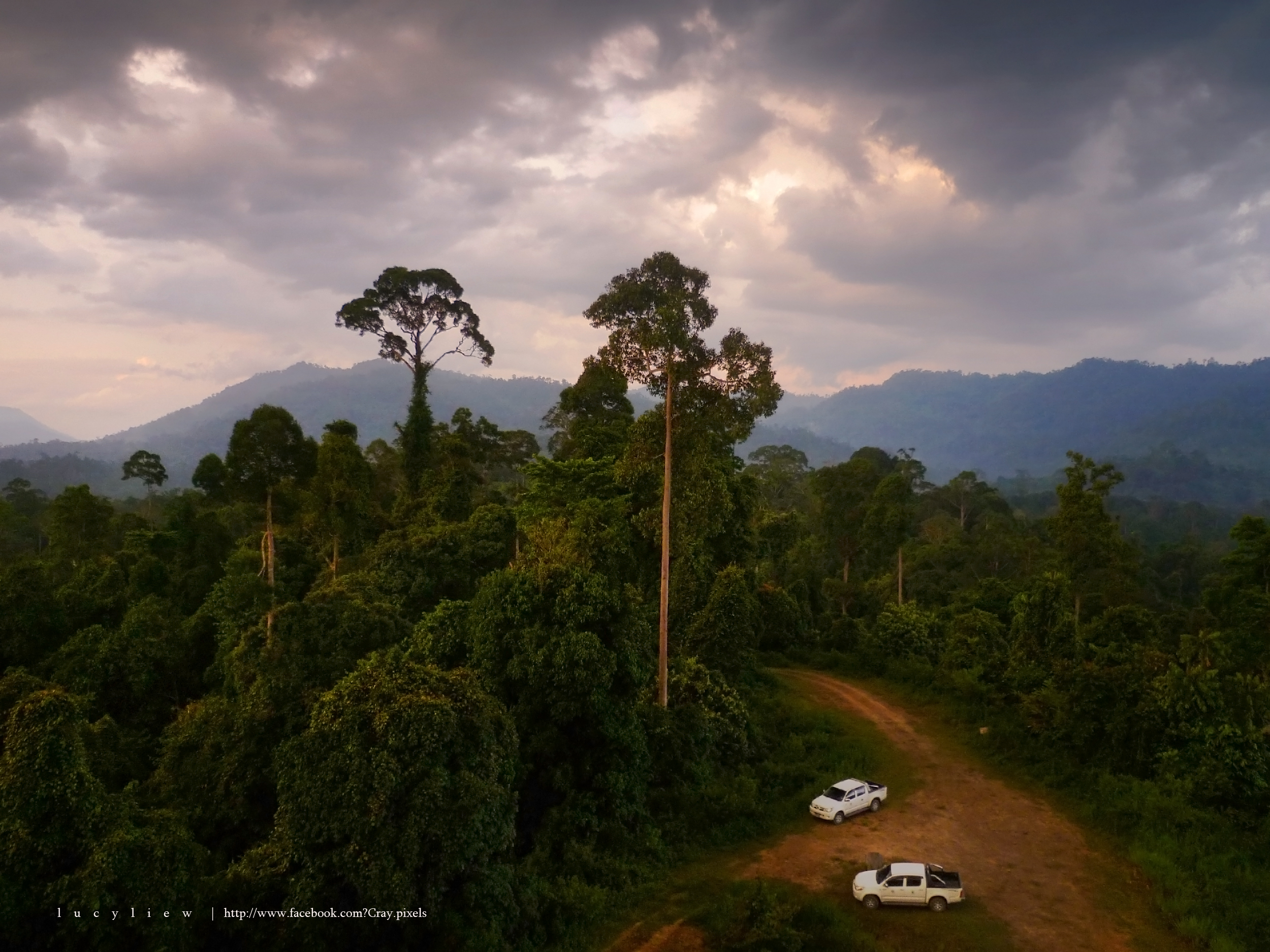
In the Heart of Borneo

Borneo - Rajang River (562,5 km) - Kapit Jetty
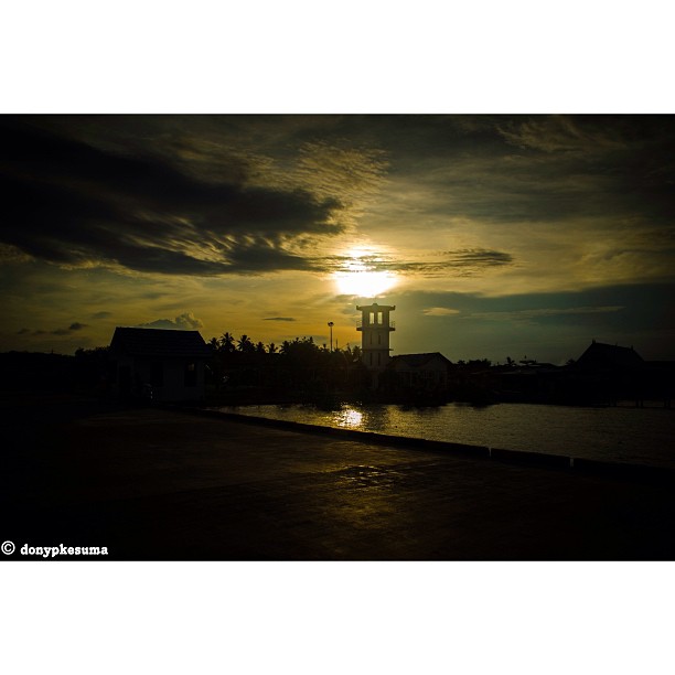
"Sunset from Nunukan, North Kalimantan" *dslr series. Good Evening World at 05:48 PM, Bandung West Java. #nikon #dslr #d5100 #nikkor #1855 #18-55mm #18 #18mm #iphone #iphone5 #i5 #iphonesia #donypkesuma #nunukan #borneo #kalimantan #indonesia #instago #in
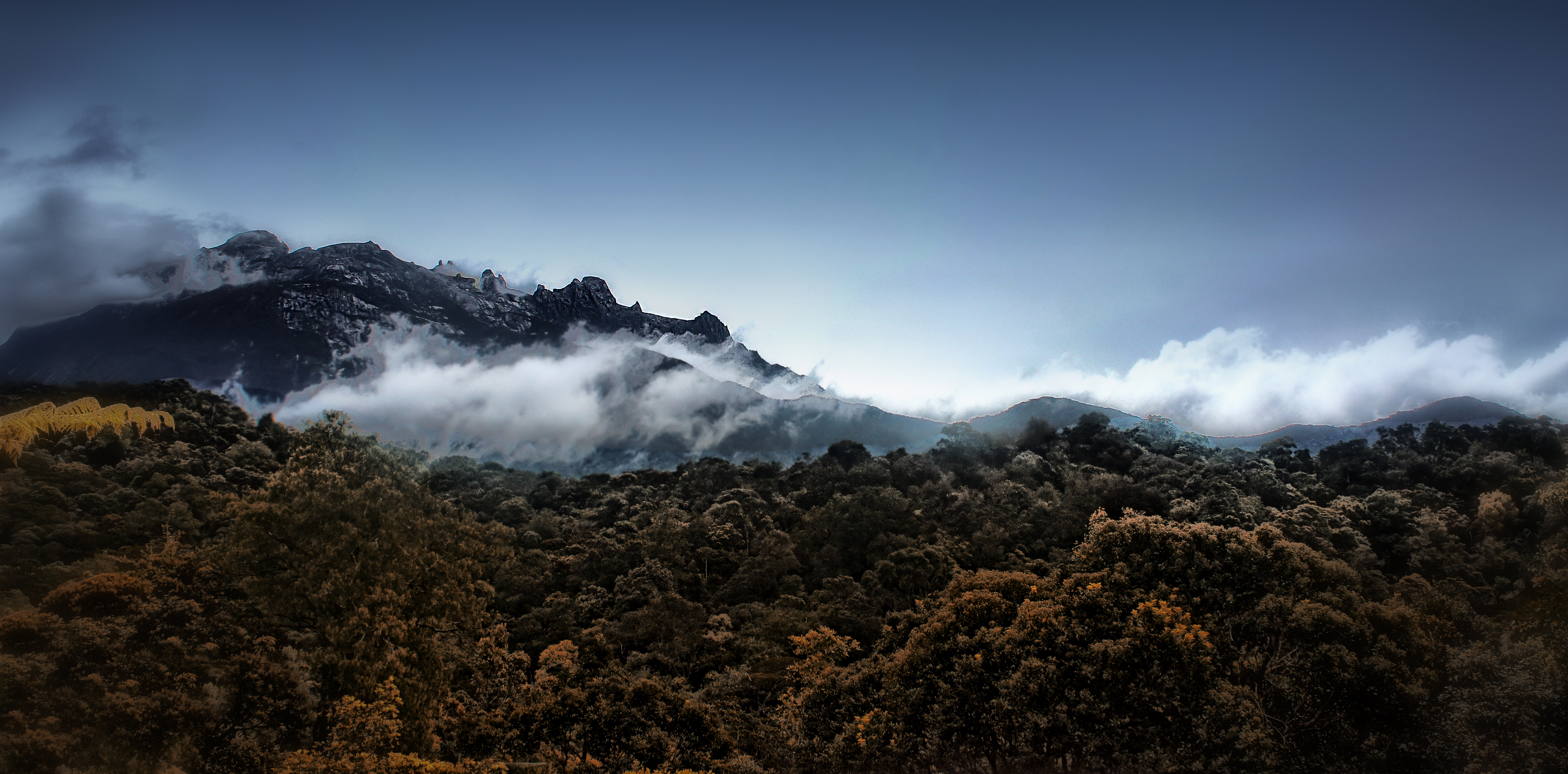
Mt Kinabalu Scene
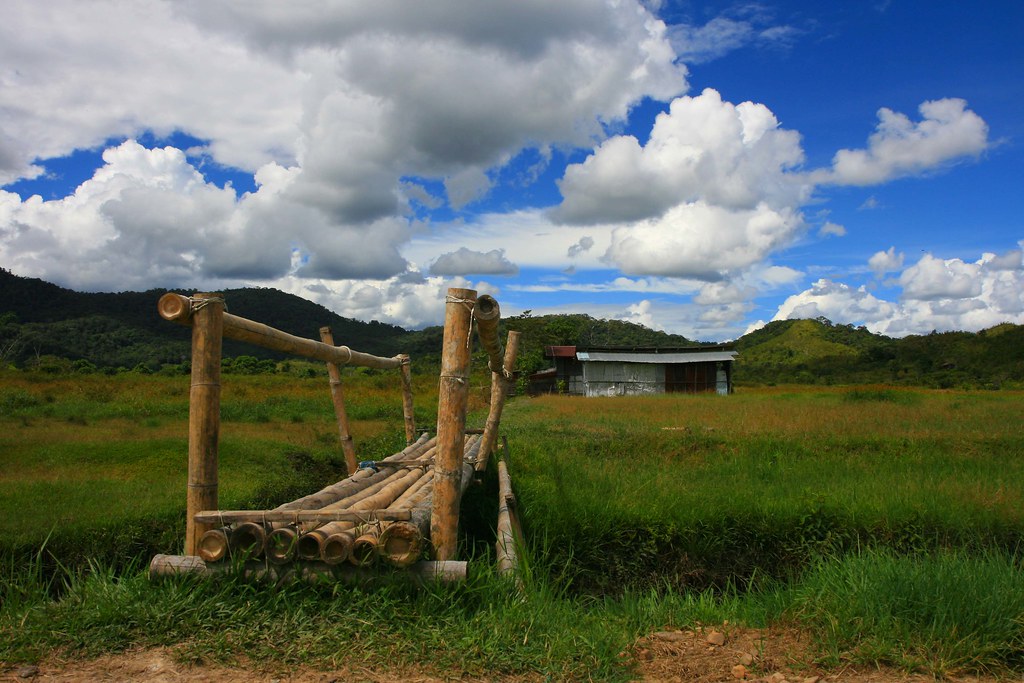
Little bamboo bridge
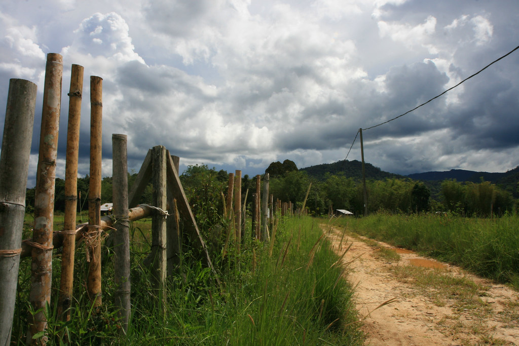
Bamboo Fence

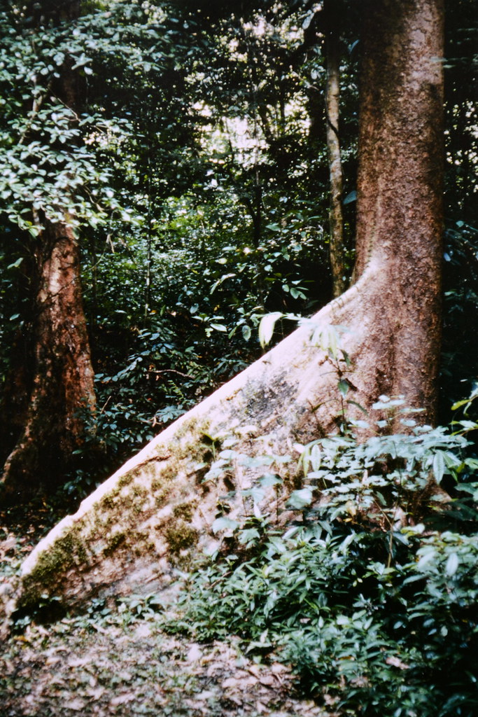
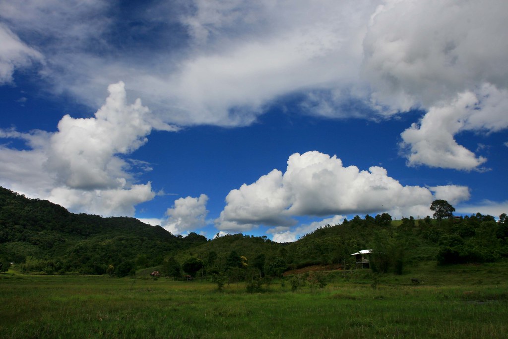
Forest landscape
Green and blue

PlotID_396 North
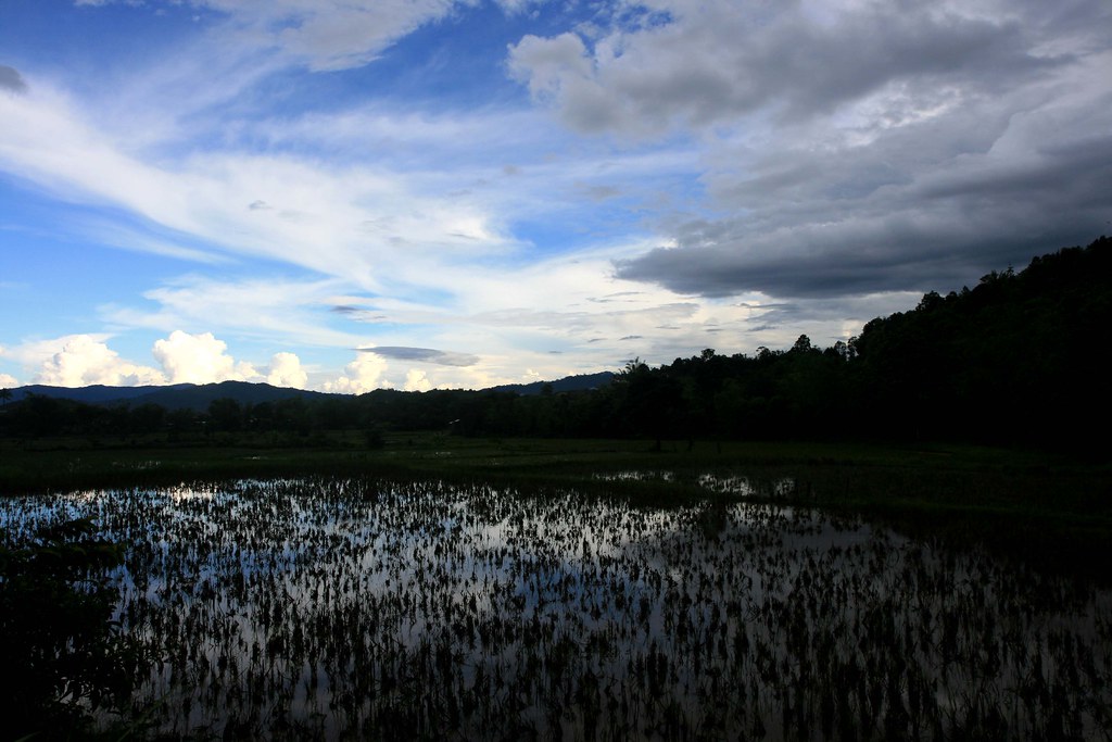
Paddy Field
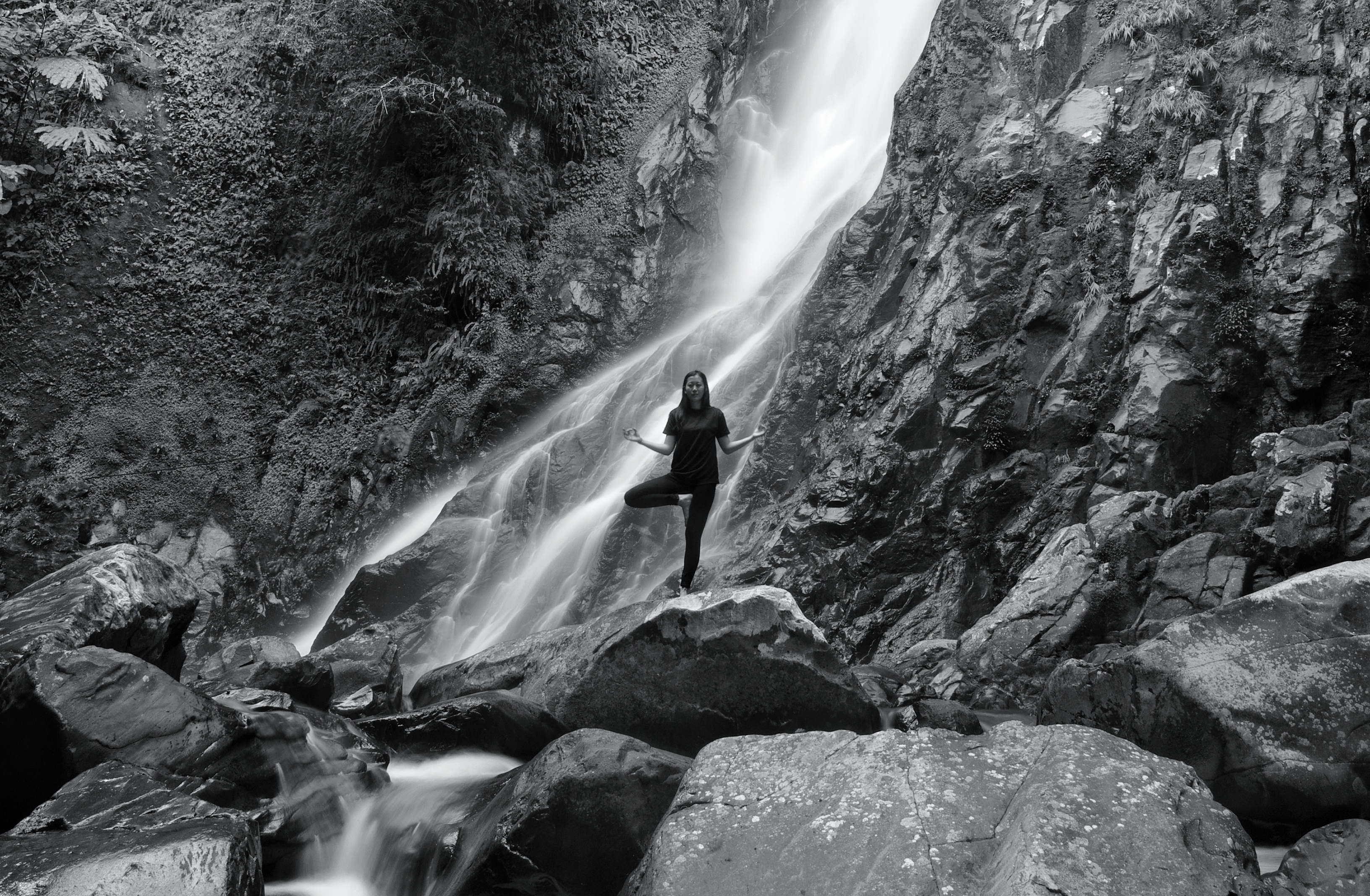
Martin billa waterfall
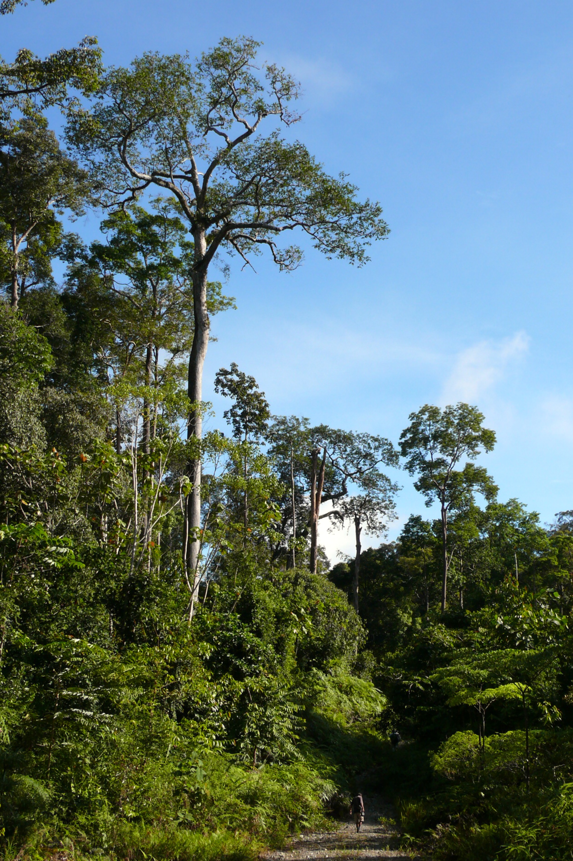
Forest landscape
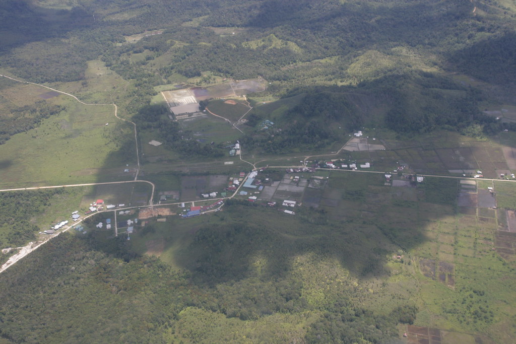
Long Bawan from the air
Topographic Map of North Kalimantan, Indonesia
Find elevation by address:

Places in North Kalimantan, Indonesia:
Places near North Kalimantan, Indonesia:
Recent Searches:
- Elevation of Hercules Dr, Colorado Springs, CO, USA
- Elevation of Szlak pieszy czarny, Poland
- Elevation of Griffing Blvd, Biscayne Park, FL, USA
- Elevation of Kreuzburger Weg 13, Düsseldorf, Germany
- Elevation of Gateway Blvd SE, Canton, OH, USA
- Elevation of East W.T. Harris Boulevard, E W.T. Harris Blvd, Charlotte, NC, USA
- Elevation of West Sugar Creek, Charlotte, NC, USA
- Elevation of Wayland, NY, USA
- Elevation of Steadfast Ct, Daphne, AL, USA
- Elevation of Lagasgasan, X+CQH, Tiaong, Quezon, Philippines