Elevation of North Cowichan, BC, Canada
Location: Canada > British Columbia > Cowichan Valley >
Longitude: -123.70440
Latitude: 48.8428574
Elevation: 62m / 203feet
Barometric Pressure: 101KPa
Elevation Map:
Satellite Map:
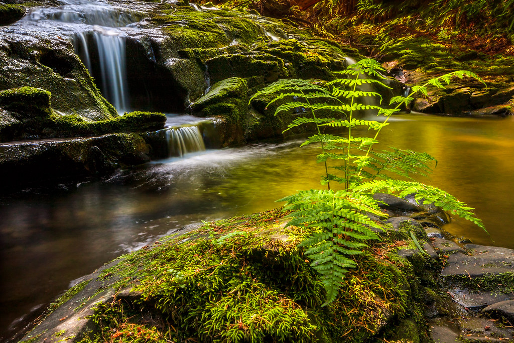
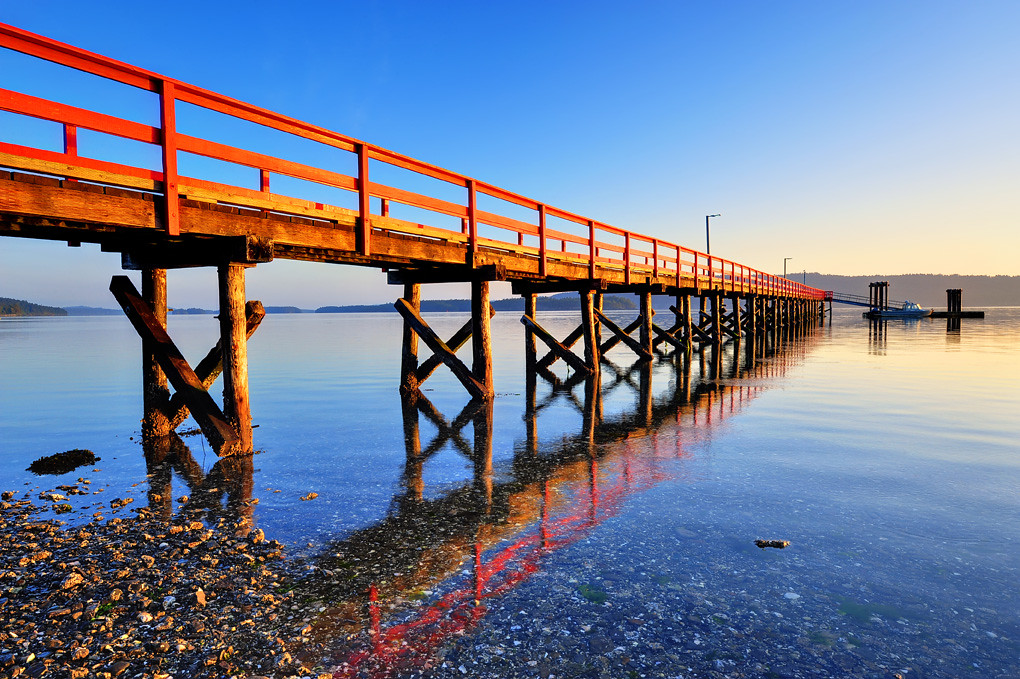
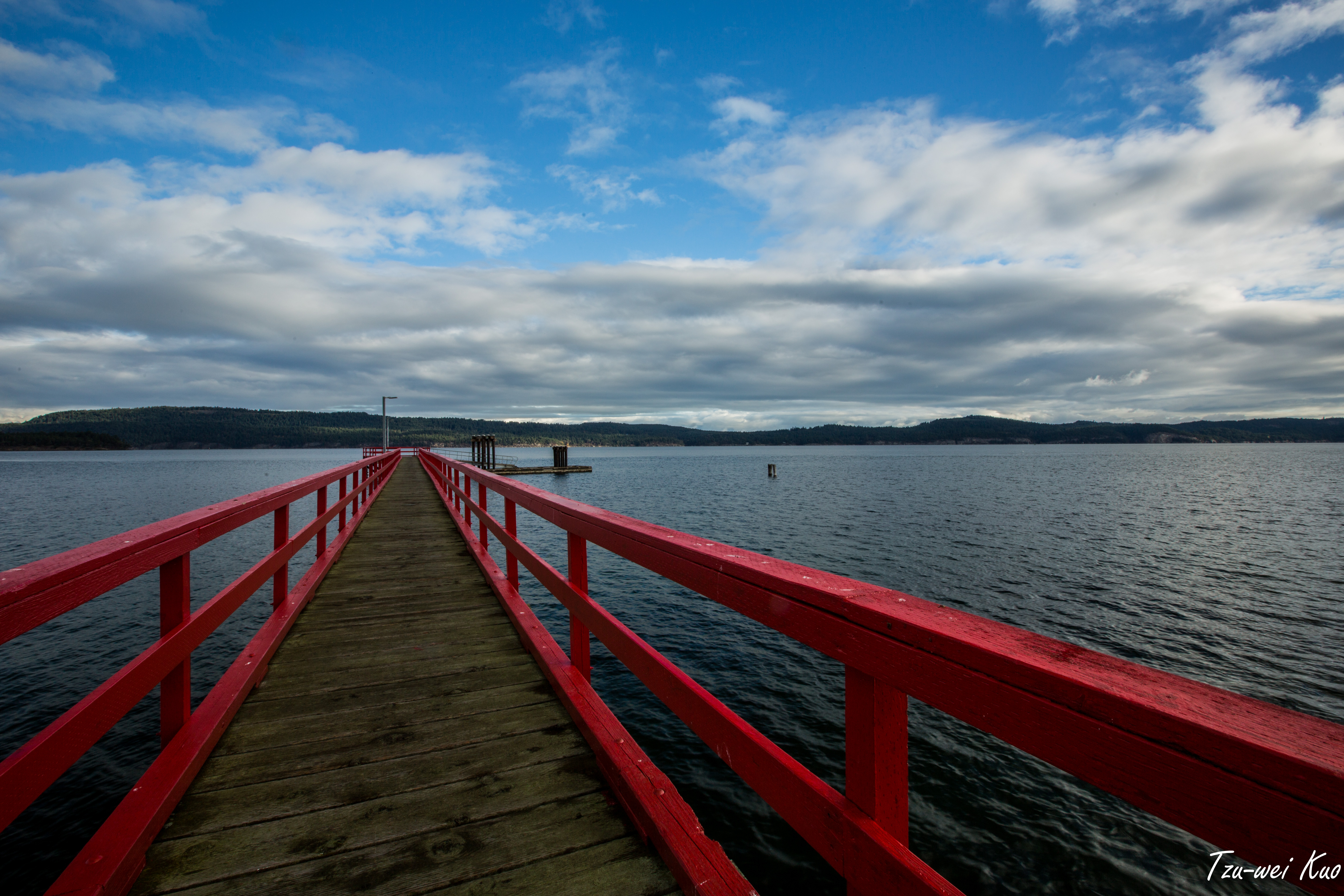
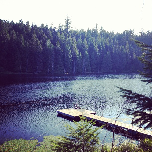
Related Photos:

Red Bridge

Vancouver, circa 1886
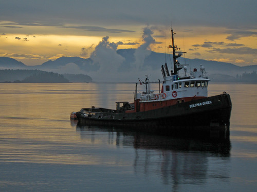
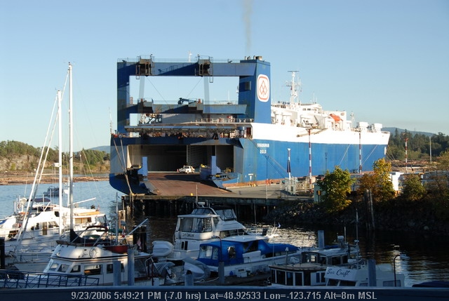
seaspan Queen

Front Window

Full Moon Rising (20 of 365)
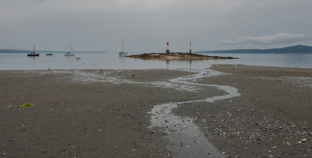
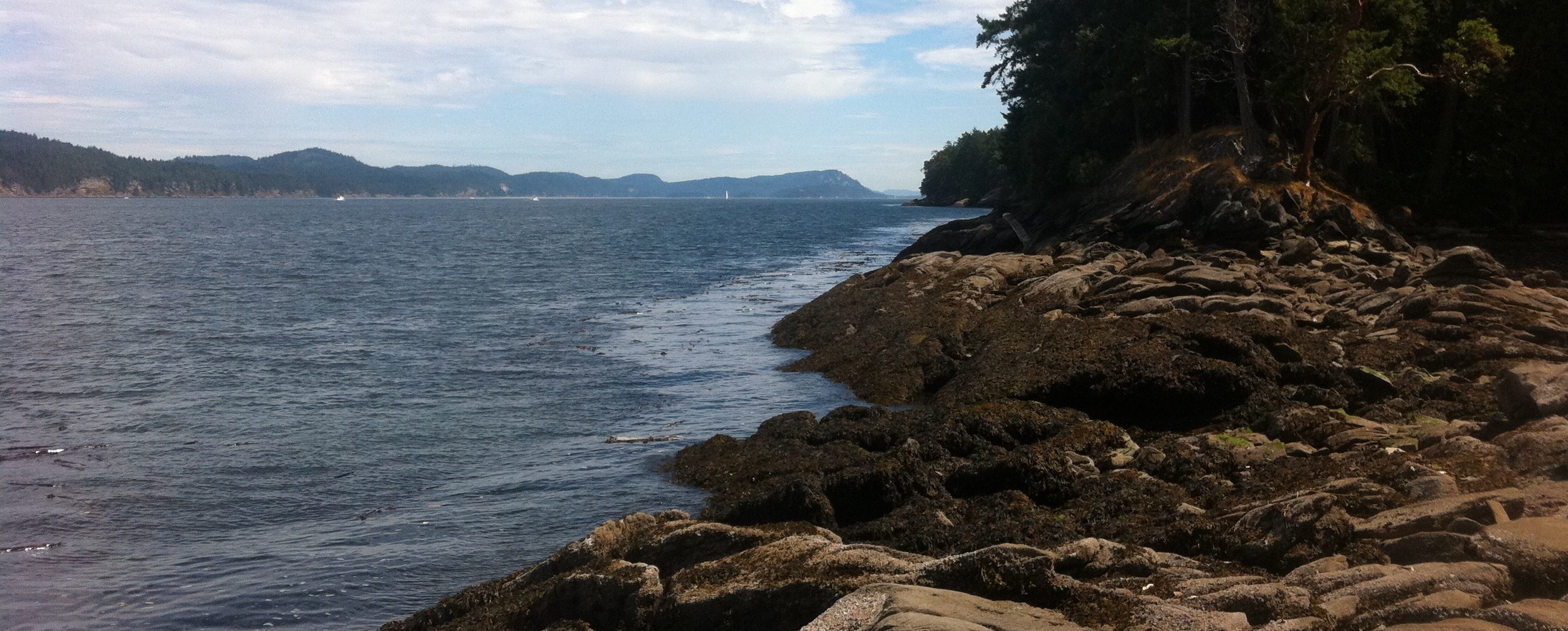
Chemainus beach

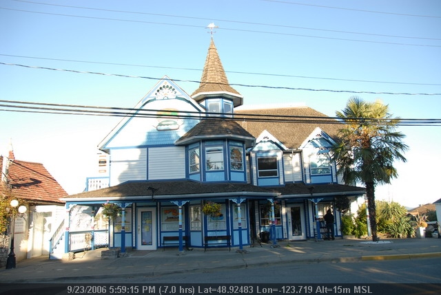
Weekend View
Chemainus (19).JPG
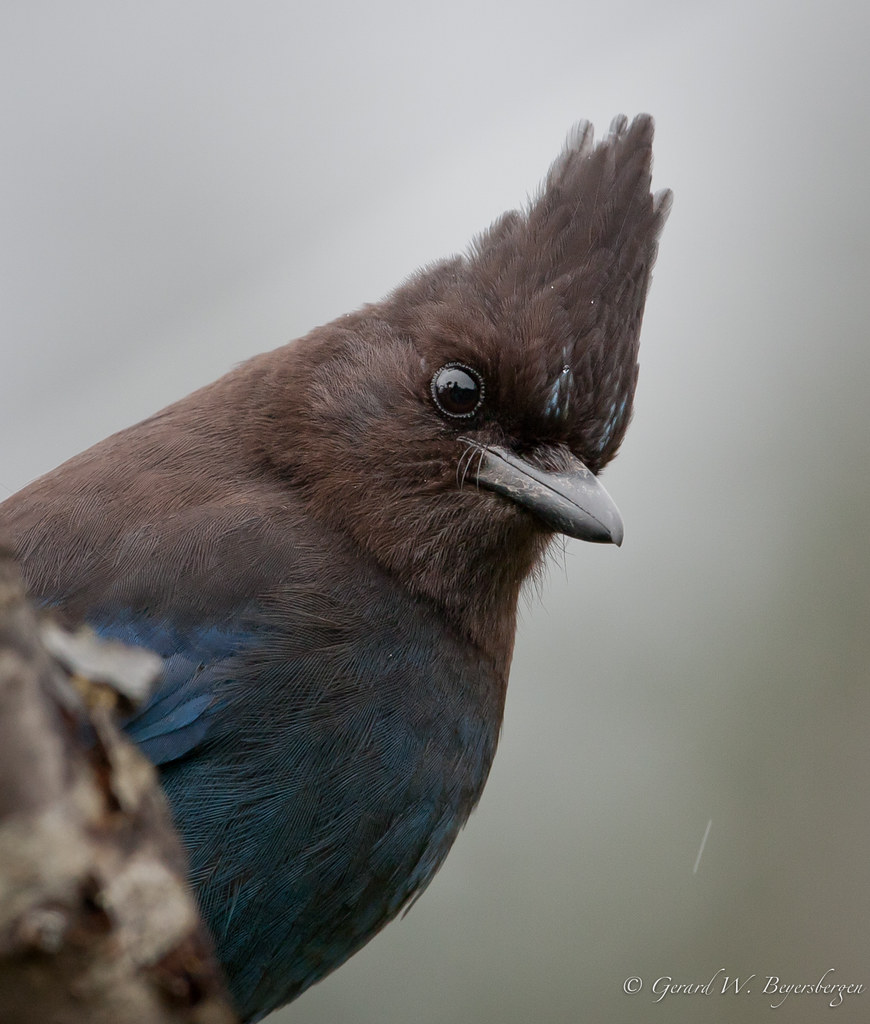
Steller 's Jay
Chemainus (78).JPG
Oh, this view, I'd like to take it home with me.
Chemainus (13).JPG
Chemainus (32).JPG

Chemainus (72).JPG
island Time
Chemainus (57).JPG
Chemainus (25).JPG
Chemainus (43).JPG
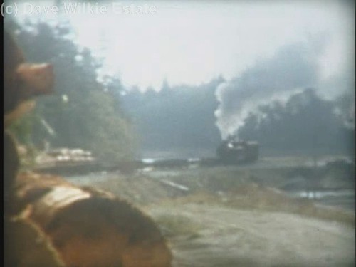
MacMillan Bloedel 1044 - trip to Chemainus Log Dump(c) - excerpt
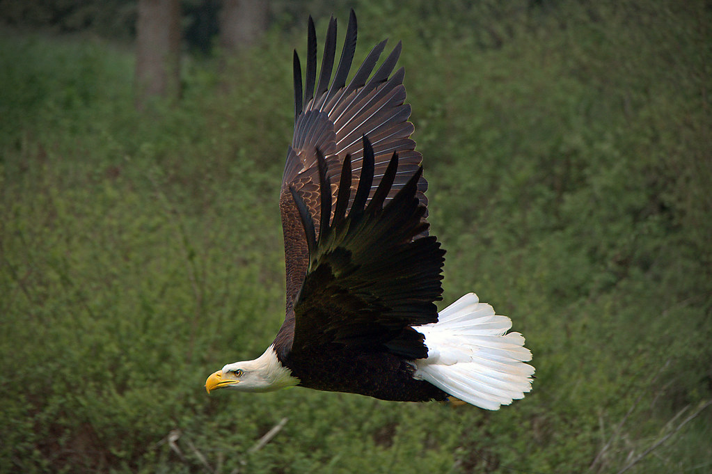
WORDS OF THE WISE EAGLE
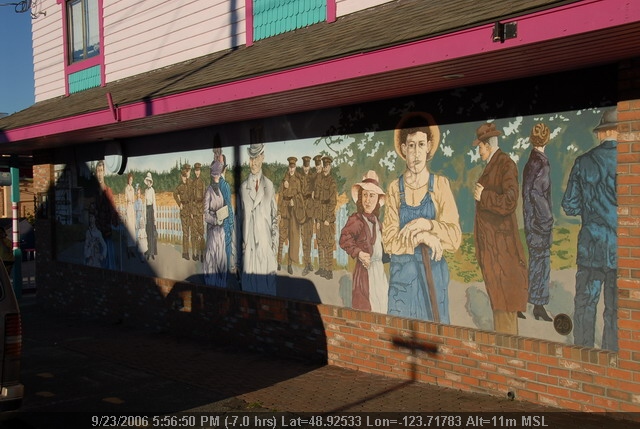
Chemainus (53).JPG
HIP_318297835.305395

FIRE AND RAIN

After the rain
ALONG A STREAM
Live in the Breath

Koksilah River winter 1
Summer photos

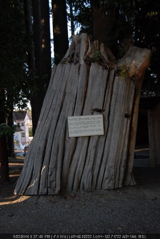
Old-growth stump in a temperate rainforest
TWKuo_2012_1021_082.jpg

Solo Tree [16:9]
E&N Crofton Spur

On Salt Spring Island. It smells good here.

Bright Angel Regional Park
E&N Crofton Spur

Sunset over the lake near Cobble Hill

Atop Mount Maxwell [16:9]

2015-06-11_1434017776
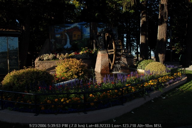
Sahtlam Lodge Rainforest Sign
CHOCOLATE LILIES

Dougan's Lake sunset
Drink the swimming water at will
Topographic Map of North Cowichan, BC, Canada
Find elevation by address:

Places in North Cowichan, BC, Canada:
Crofton
Chemainus
Crofton Rd, Crofton, BC V0R 1R0, Canada
Indian Road
Somenos Road
Alexander Street
James Street
Places near North Cowichan, BC, Canada:
8350 Richards Trail
Bell Mckinnon Road
Westholme
Ortona Road
6929 Somenos Rd
Somenos Road
6795 Somenos Rd
Walmart Duncan Supercentre
3082 Drinkwater Rd
6225 Lane Rd
2974 Sherman Rd
3370 Drinkwater Rd
3050 Sherman Rd
339 Berkeley St
1068 College St
Stamps Road
5868 Trans-canada Hwy
3025 Cowichan Lake Rd
College Street
2562 Beverly St
Recent Searches:
- Elevation of Corso Fratelli Cairoli, 35, Macerata MC, Italy
- Elevation of Tallevast Rd, Sarasota, FL, USA
- Elevation of 4th St E, Sonoma, CA, USA
- Elevation of Black Hollow Rd, Pennsdale, PA, USA
- Elevation of Oakland Ave, Williamsport, PA, USA
- Elevation of Pedrógão Grande, Portugal
- Elevation of Klee Dr, Martinsburg, WV, USA
- Elevation of Via Roma, Pieranica CR, Italy
- Elevation of Tavkvetili Mountain, Georgia
- Elevation of Hartfords Bluff Cir, Mt Pleasant, SC, USA