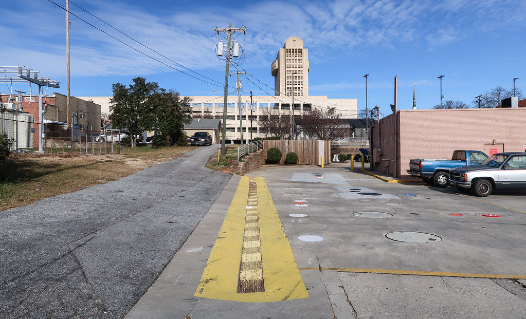
Elevation of North Church Street, N Church St, Spartanburg, SC, USA
Location: United States > South Carolina > Spartanburg County > Spartanburg >
Longitude: -81.941220
Latitude: 34.9604533
Elevation: 253m / 830feet
Barometric Pressure: 98KPa
Elevation Map:
Satellite Map:
Related Photos:
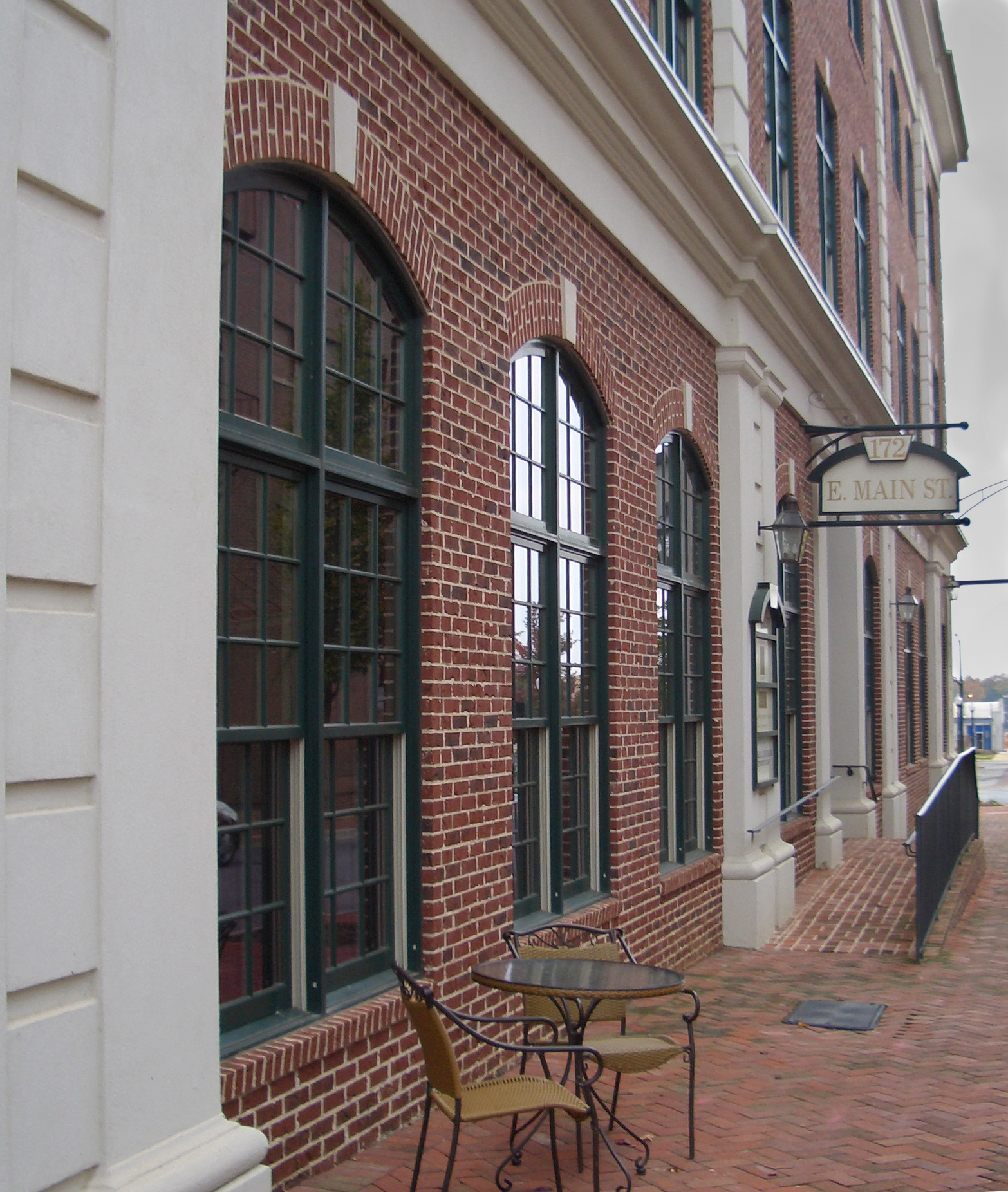
Cafe Ishi--Side View

Whelen Vortex - Spartanburg, SC
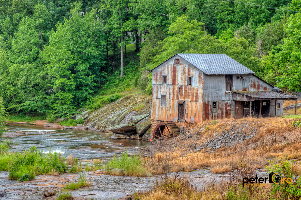
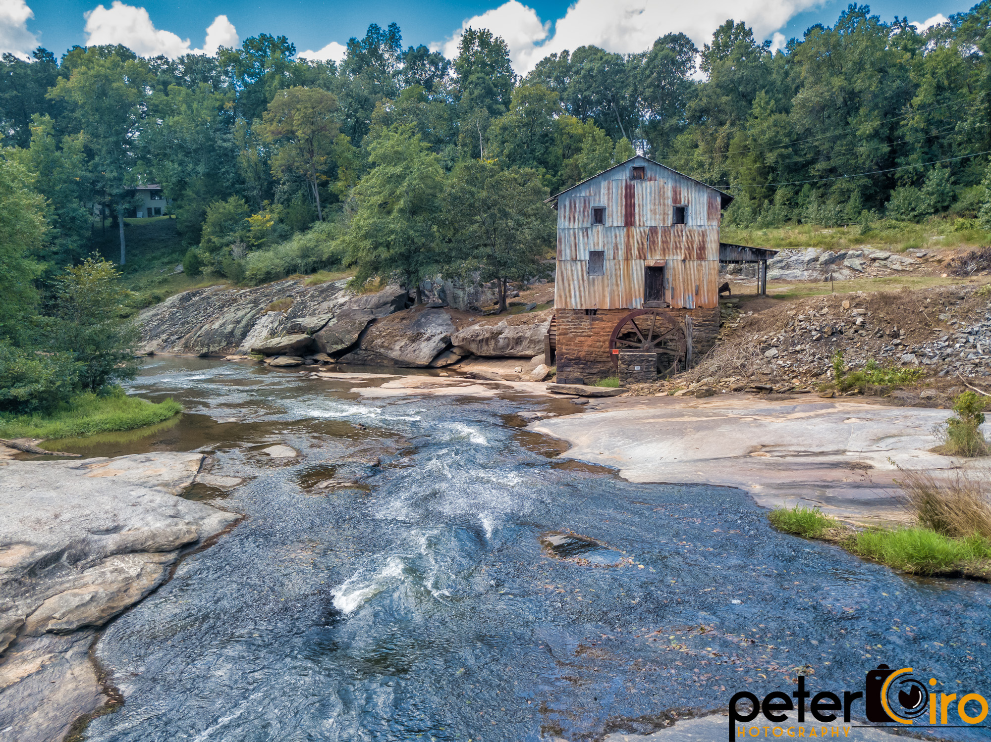
Anderson Mill in Moore, South Carolina
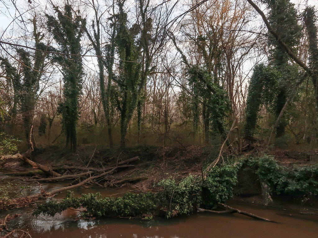
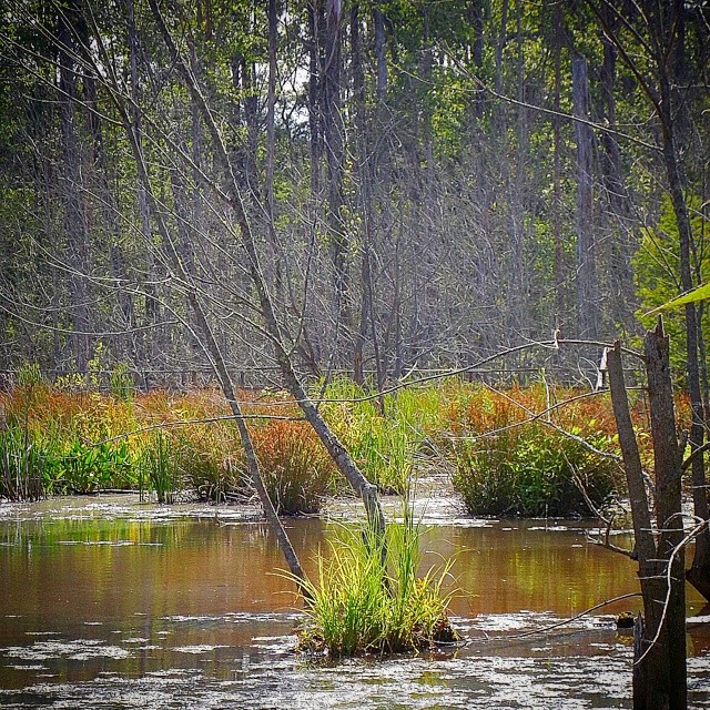
Shockingly bizarro riverine landscape.
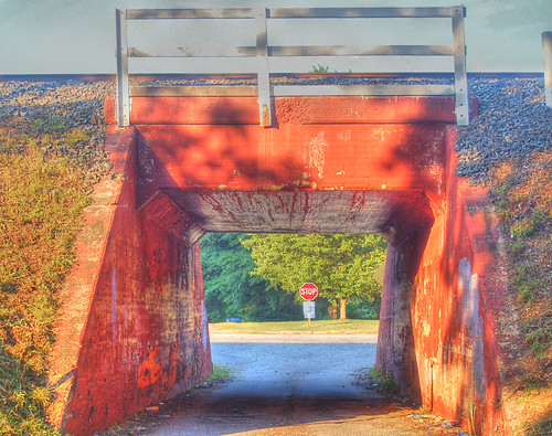
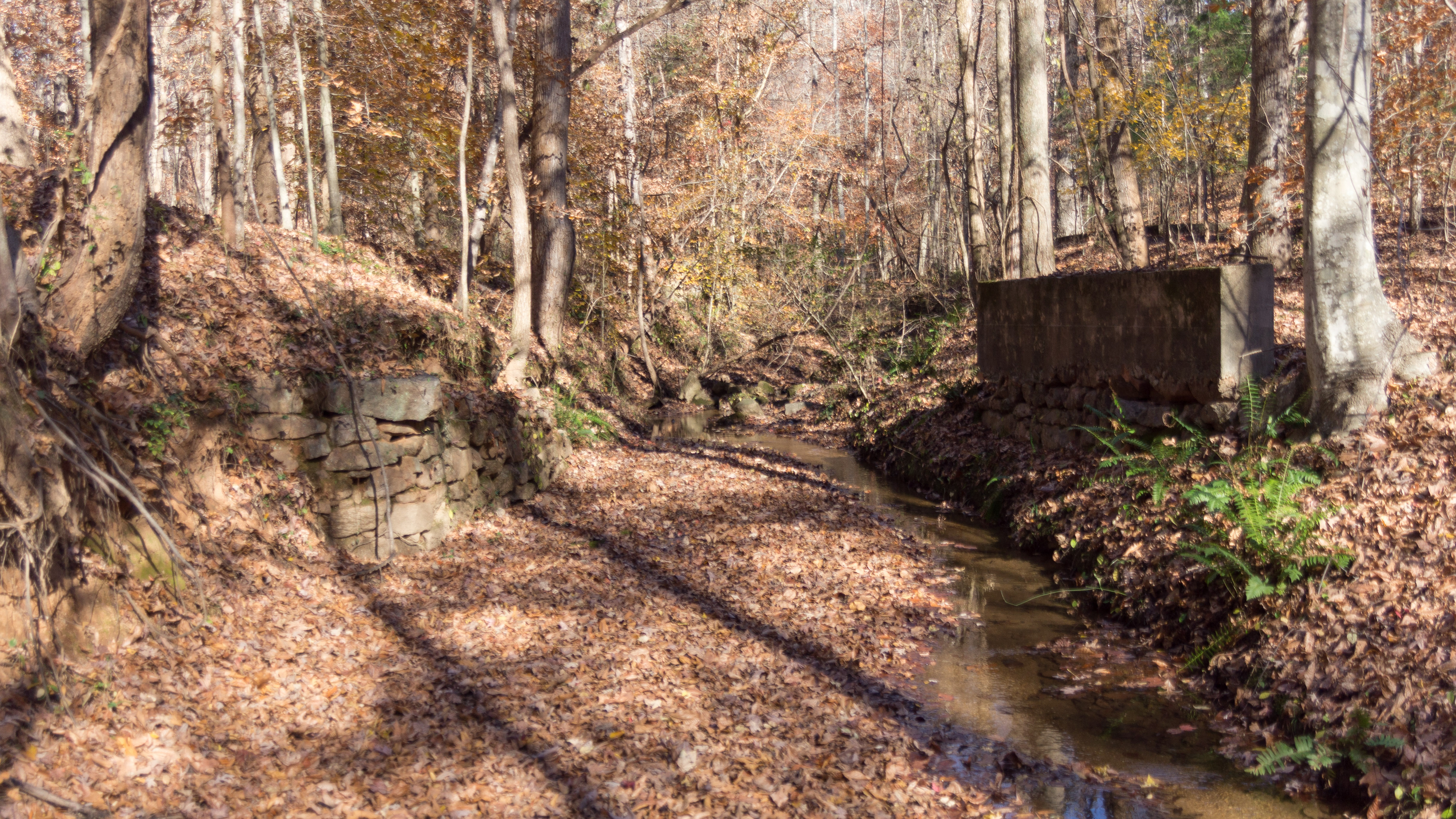
Wellford Underpass HDR a
River Falls Bridge 2
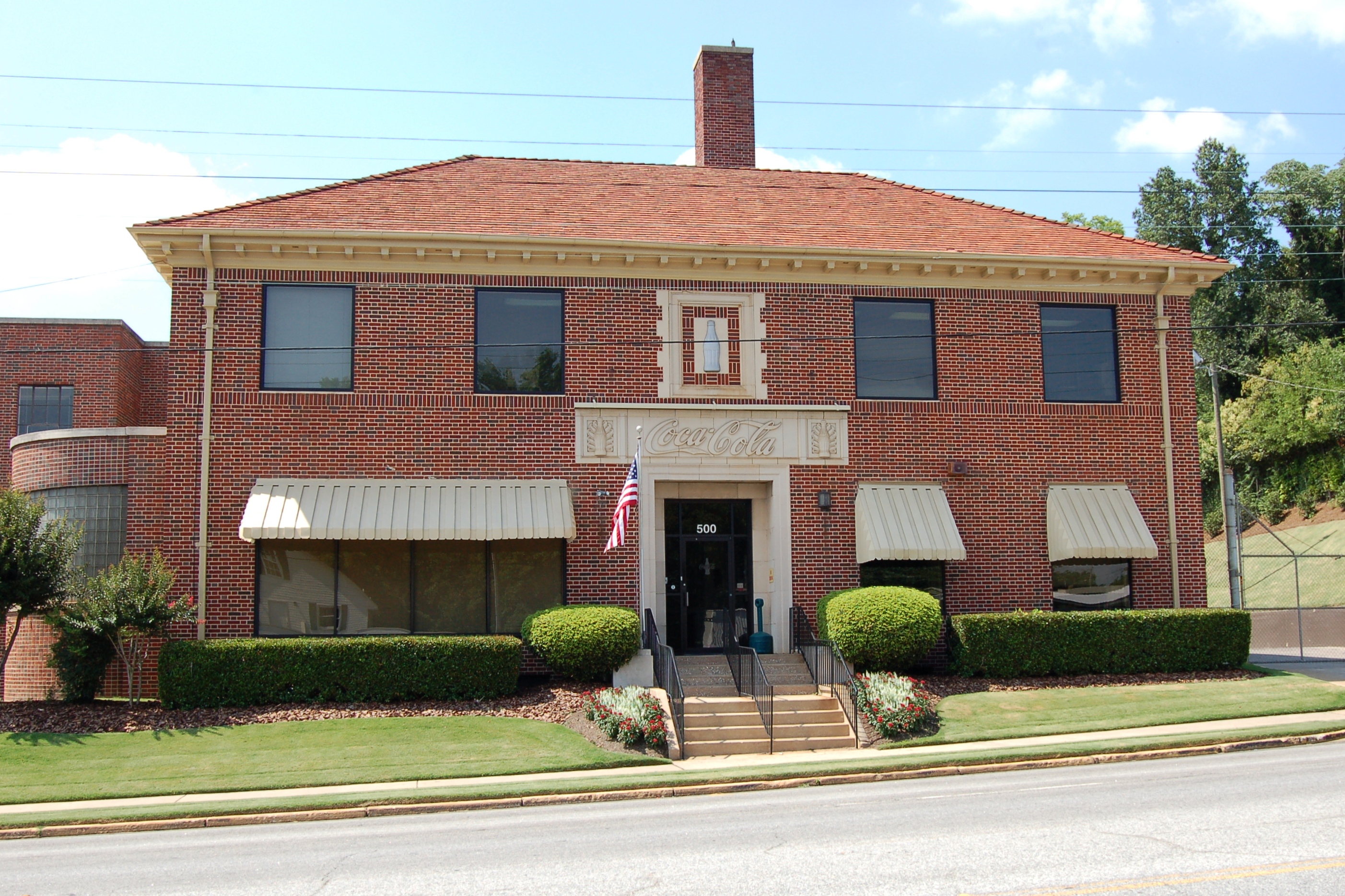
South Carolina, Spartanburg, Coca-Cola Bottling Company (6,210)
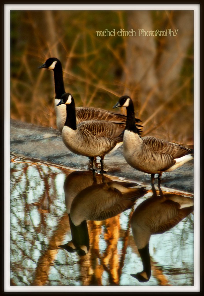
Three's a Crowd
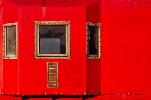
Red Caboose
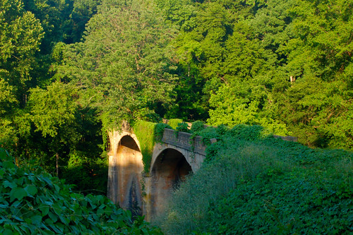
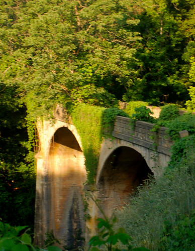
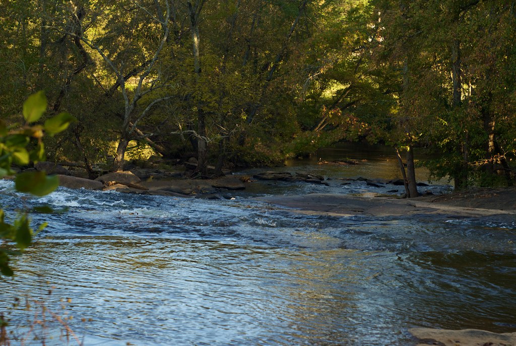
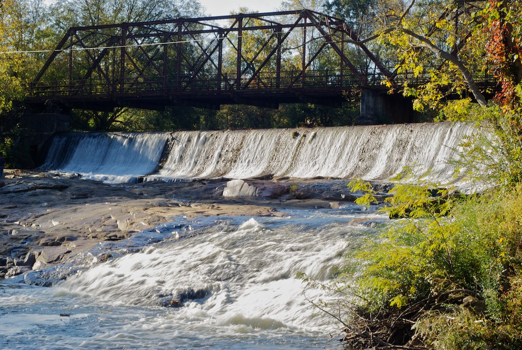
River Falls Bridge 1
Back Window
Jan 10

reflection in a mirror
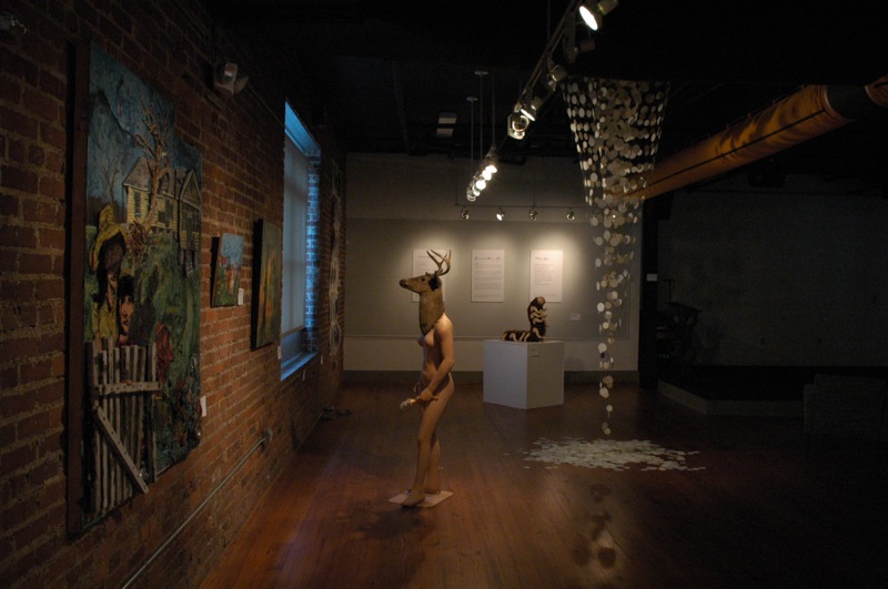
Long View of Gallery
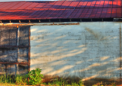
Wellford Shack Wall HDR

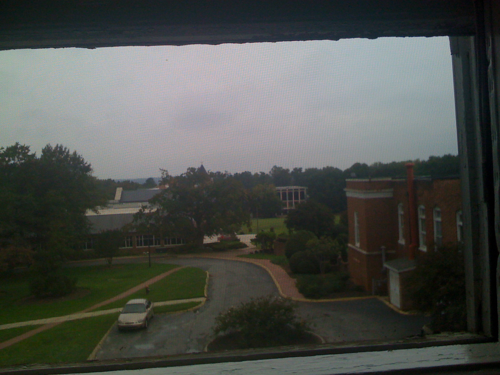
View from Spartanburg City Hall
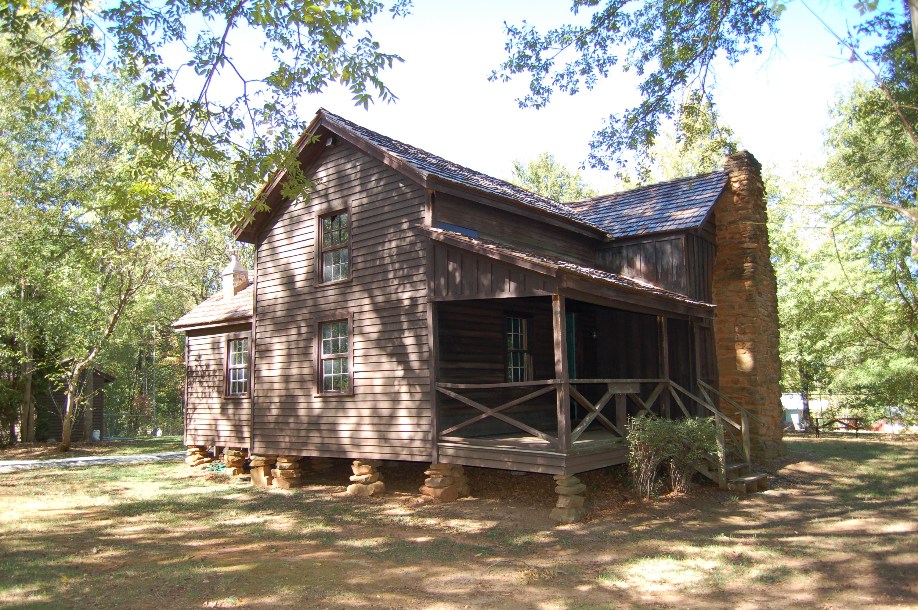
Seay House - Front Left View
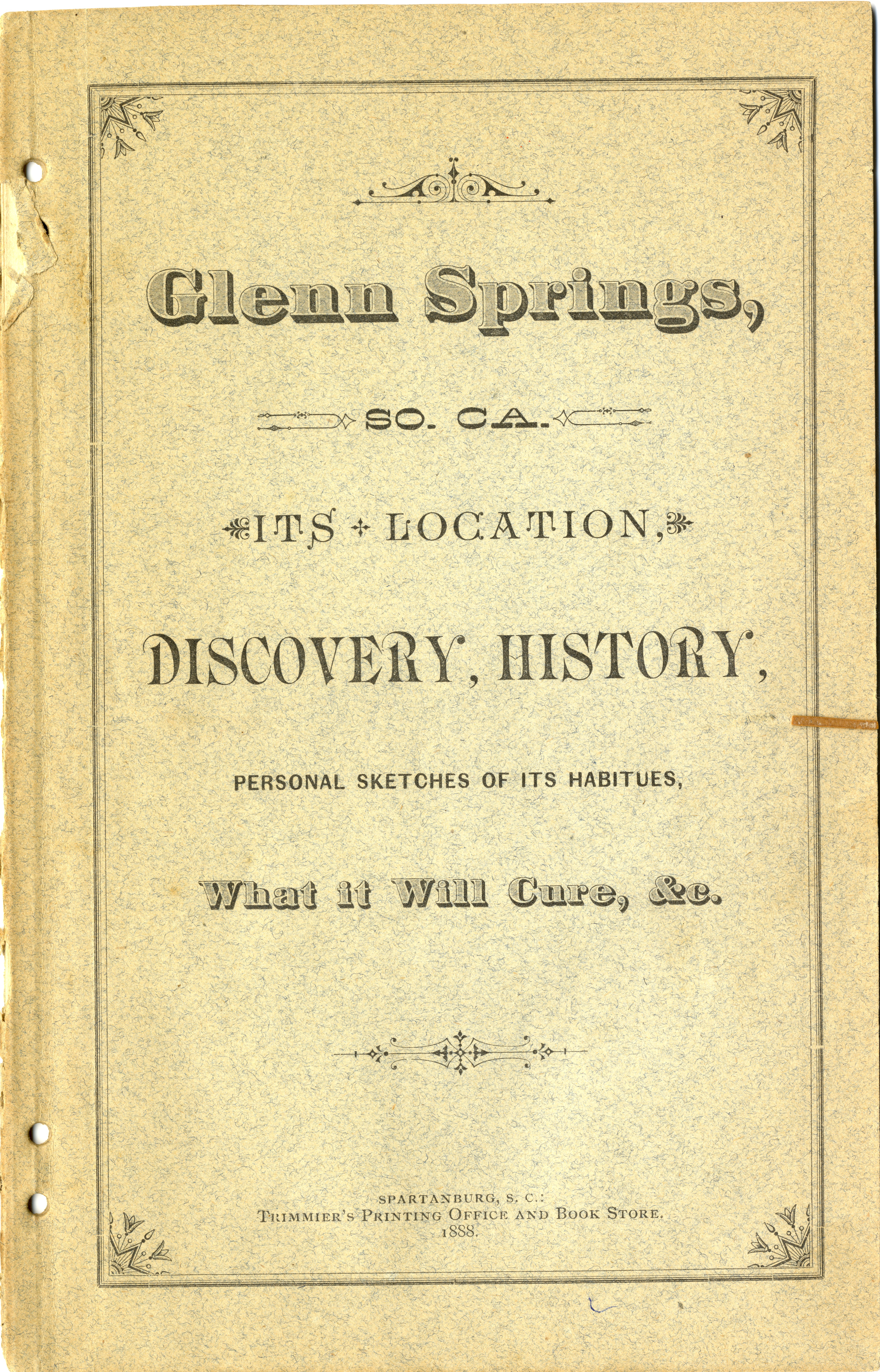
Glenn Springs (S.C.) 1888 pamphlet
P1050584.JPG
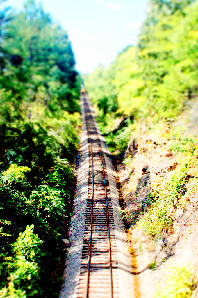
RailRoad 1 tiltshift
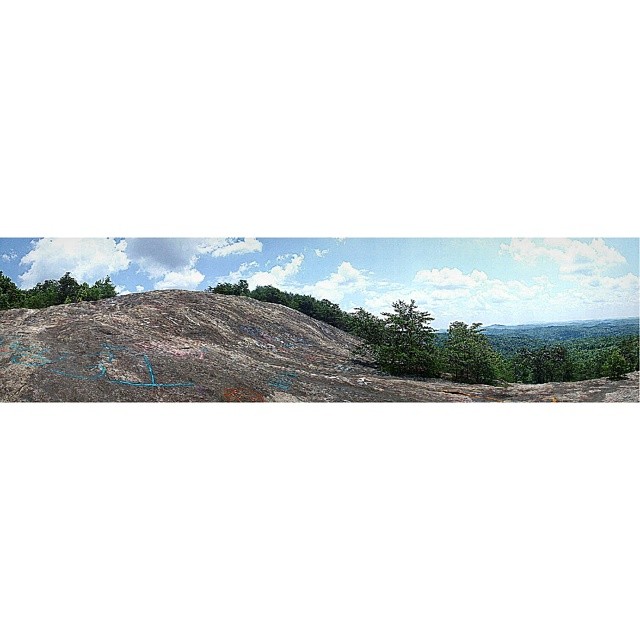
Bald Rock a panoramic view from below. #GreenvilleSC

#7DazeImages
#7DazeImages
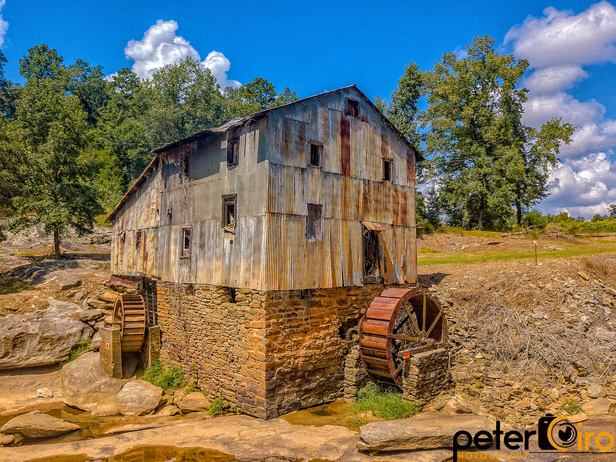
Anderson Mill in Moore, South Carolina - Built during the American Revolution and on the National Register of Historic Places
Paved slopes hurry waters to draingrates at gas stations.

#7DazeImages

Blazing Sunrise

The Vast Wasteland Will Become One Big Landscape 2
"Untouched Life"
Beautiful #sunset in #Denver #Colorado :)
Rapids ... from above

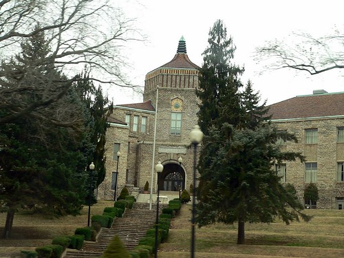
SHS (Spartanburg High School)

Having a great #sunset to look at while I'm on walk today!
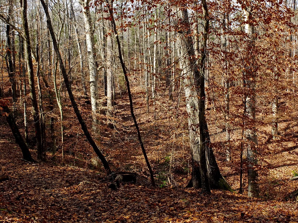
Rocky Ridge
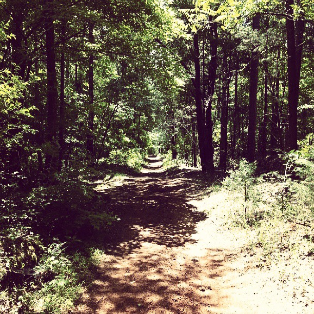
Found one last gem I forgot to post from our second hike. This was a very inspiring trail. At that point, I truly felt as if I was walking into my future. It was cool. #forest #trail
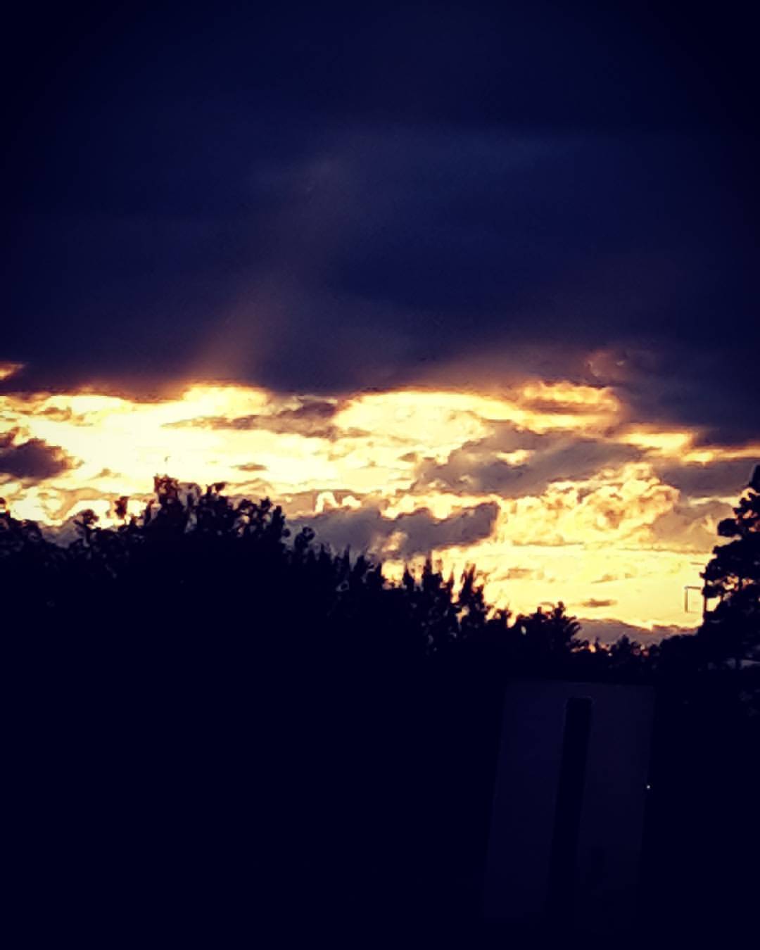
What a beautiful sunset.
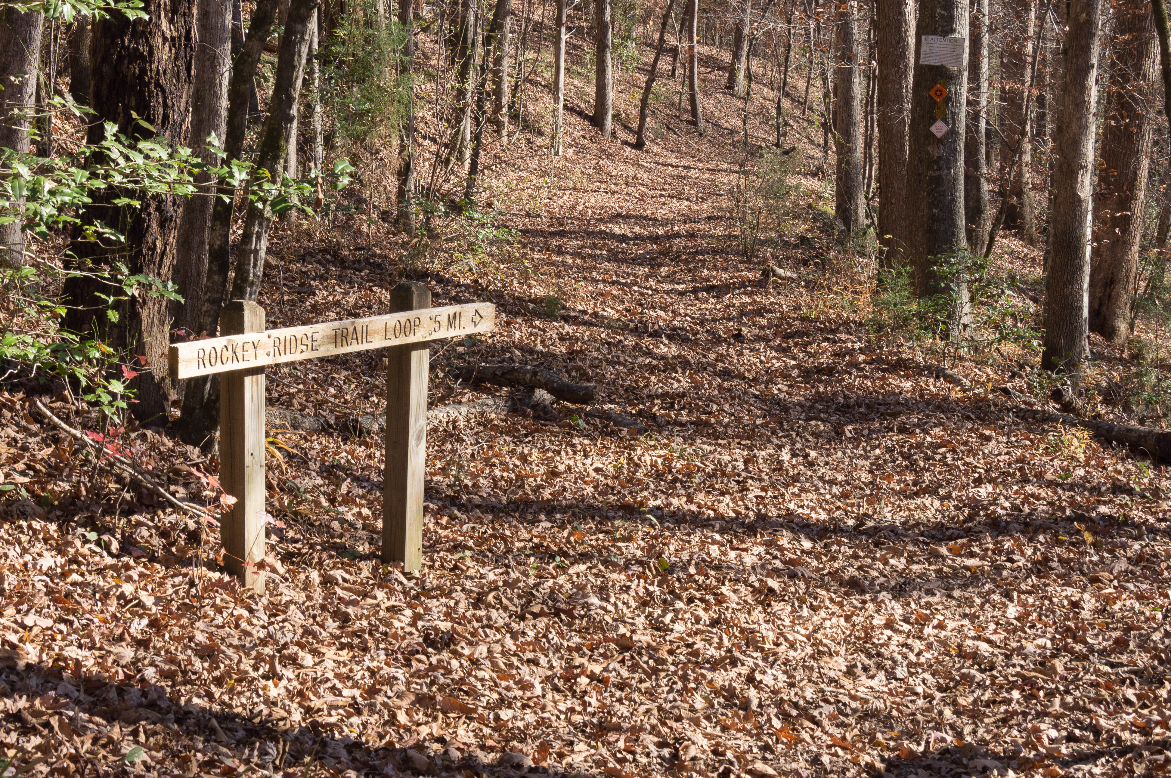
Rocky Ridge Trail Loop - entrance
Dam at Glendale Mill - slow shutter
Whitestone Springs ruins - 1

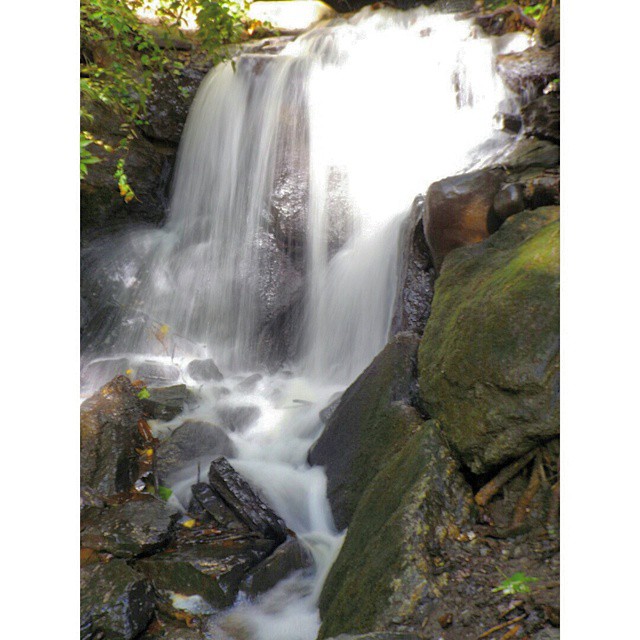
Frey Creek Falls - 11
Anderson Grist Mill in Anderson, South Carolina
Topographic Map of North Church Street, N Church St, Spartanburg, SC, USA
Find elevation by address:

Places near North Church Street, N Church St, Spartanburg, SC, USA:
101 E Wood St
Wofford College
Daniel Morgan Monument
Spartanburg
Sparkle City Dental
Concord Ave, Spartanburg, SC, USA
Barnwell Rd, Spartanburg, SC, USA
491 Barnwell Rd
16 Oak St, Spartanburg, SC, USA
Hayne St, Spartanburg, SC, USA
N Blackstock Rd, Spartanburg, SC, USA
Bethpage Drive, Spartanburg, SC, USA
670 W Heatherstone Ln
Fairforest
Louisa St, Roebuck, SC, USA
165 Woodridge Dr
8891 Warren H Abernathy Hwy
3175 Carolina Country Club Rd
Spartanburg, SC, USA
State Rd S-42-, Roebuck, SC, USA
Recent Searches:
- Elevation of 15th Ave SE, St. Petersburg, FL, USA
- Elevation of Beall Road, Beall Rd, Florida, USA
- Elevation of Leguwa, Nepal
- Elevation of County Rd, Enterprise, AL, USA
- Elevation of Kolchuginsky District, Vladimir Oblast, Russia
- Elevation of Shustino, Vladimir Oblast, Russia
- Elevation of Lampiasi St, Sarasota, FL, USA
- Elevation of Elwyn Dr, Roanoke Rapids, NC, USA
- Elevation of Congressional Dr, Stevensville, MD, USA
- Elevation of Bellview Rd, McLean, VA, USA