Elevation of North Bačka District, Serbia
Location: Serbia > Vojvodina >
Longitude: 19.5907
Latitude: 45.9803394
Elevation: 107m / 351feet
Barometric Pressure: 100KPa
Elevation Map:
Satellite Map:
Related Photos:
love, service, forever

Snow on my terrace

Healthy and fresh start of the day. We can call it breakfast... Vitamins, proteins, caffeine, cocoa, you name it. Everything a healthy man needs. And a view filled with fountains, waters, freaking birds and some nature. All good, then. #everydaylife #hea
2015-11-18 5787

Vojvodina, Serbien, 2013
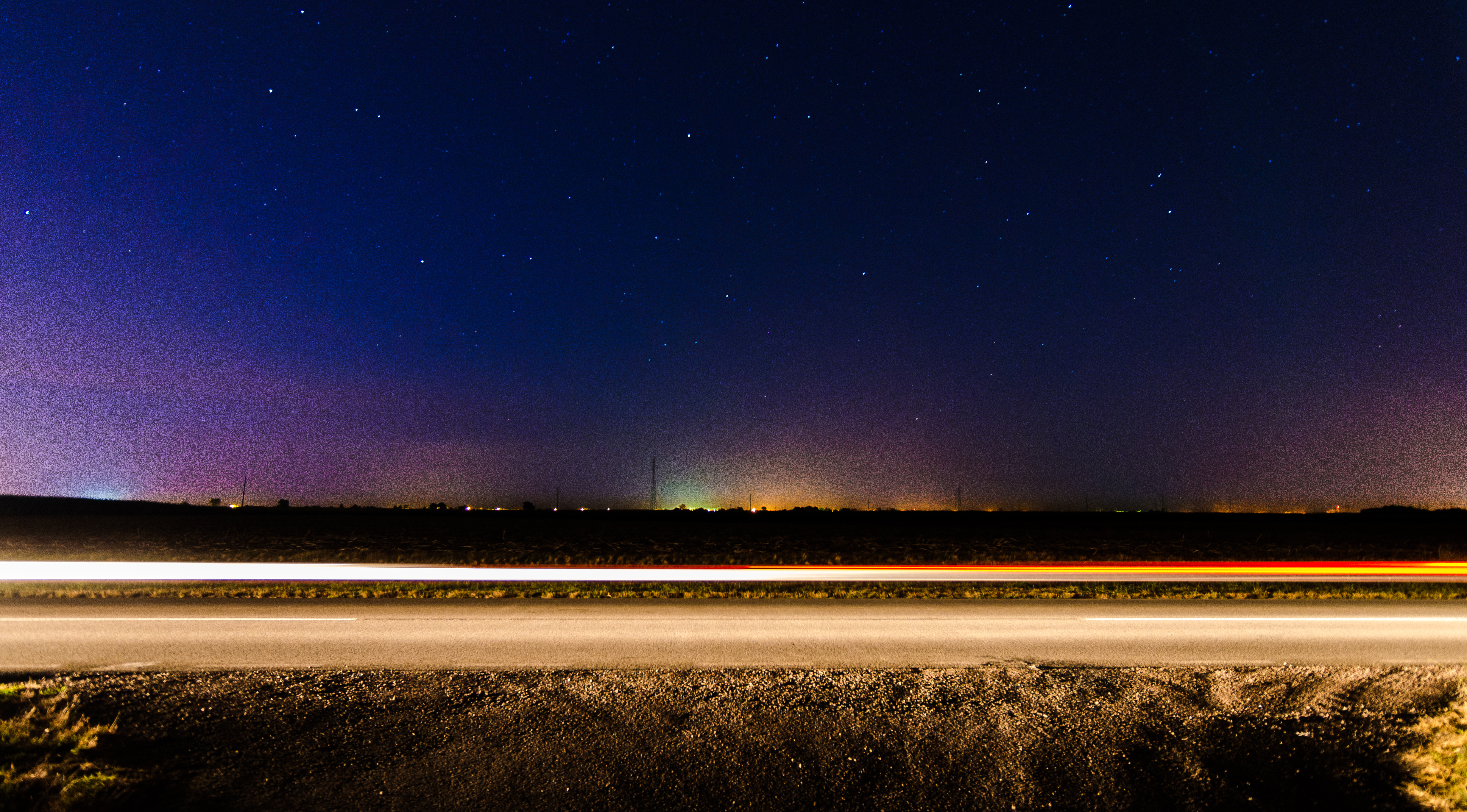
20150722 - Subotica - Astro 1 - 0016.jpg

La synagogue de Subotica

L'hôtel de ville de Subotica
Topographic Map of North Bačka District, Serbia
Find elevation by address:

Places in North Bačka District, Serbia:
Places near North Bačka District, Serbia:
Subotica
Vladimira Perića Valtera
Subotica
Bajmok
West Bačka District
Sombor
Parage
Maglić
Danube River
Backa Palanka
Batina
Banoštor
Općina Kneževi Vinogradi
Zmajevac
Općina Draž
Bátaszék
Mohács
Osijek Oblast
Osijek
Beli Manastir
Recent Searches:
- Elevation of Corso Fratelli Cairoli, 35, Macerata MC, Italy
- Elevation of Tallevast Rd, Sarasota, FL, USA
- Elevation of 4th St E, Sonoma, CA, USA
- Elevation of Black Hollow Rd, Pennsdale, PA, USA
- Elevation of Oakland Ave, Williamsport, PA, USA
- Elevation of Pedrógão Grande, Portugal
- Elevation of Klee Dr, Martinsburg, WV, USA
- Elevation of Via Roma, Pieranica CR, Italy
- Elevation of Tavkvetili Mountain, Georgia
- Elevation of Hartfords Bluff Cir, Mt Pleasant, SC, USA