Elevation of Normangee High School, Spur 3, Normangee, TX, USA
Location: United States > Texas > Madison County > Normangee >
Longitude: -96.120736
Latitude: 31.0261916
Elevation: 116m / 381feet
Barometric Pressure: 100KPa
Elevation Map:
Satellite Map:
Related Photos:

Bumpy Ride
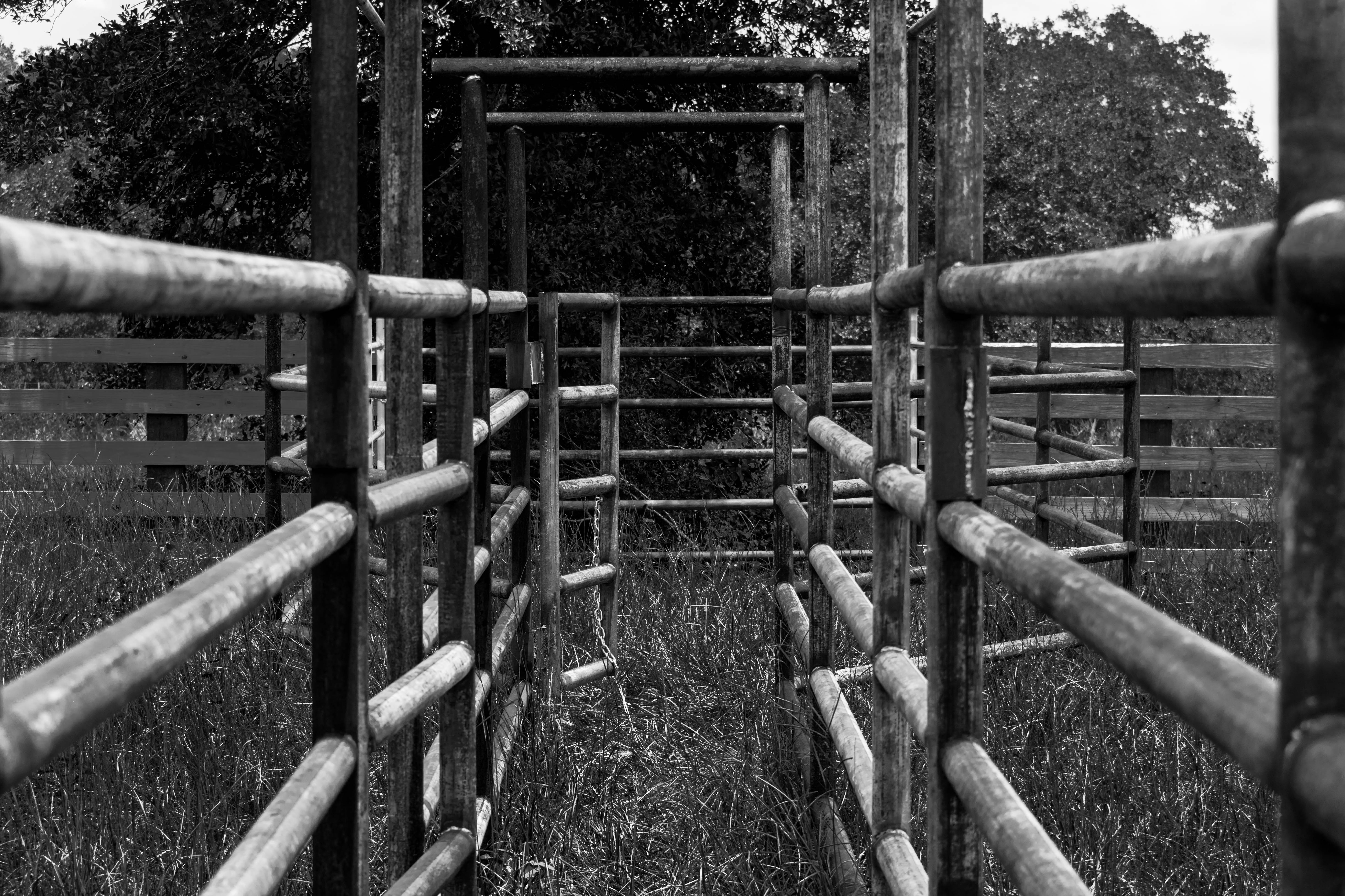
Beef Like Me
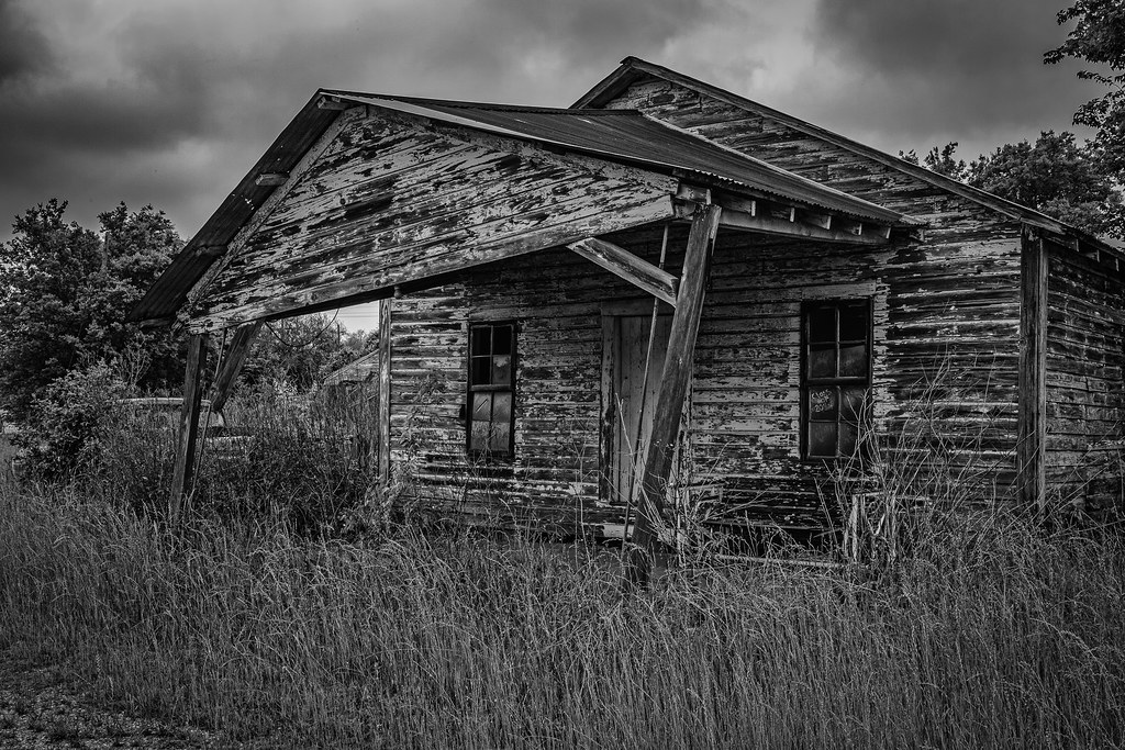
Abandoned Gas Station - North Zulch

Garrett in Wilderness
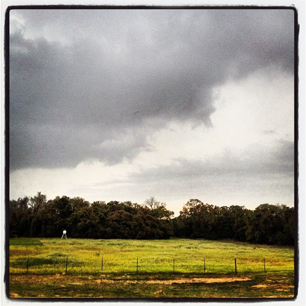
#fmsphotoaday #landscape storm's a brewin'

DANGER ZONE!

Drive-By High-Five
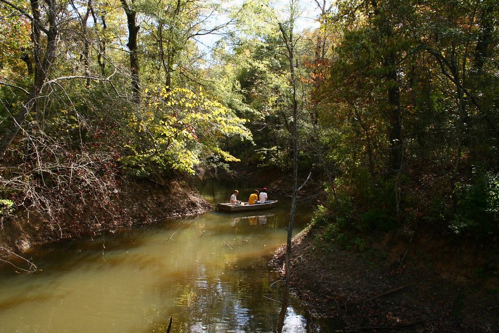
the cove

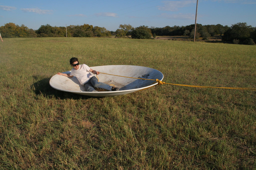
The Sliding Saucer : Zach
The Sliding Saucer : Josh1
Topographic Map of Normangee High School, Spur 3, Normangee, TX, USA
Find elevation by address:

Places near Normangee High School, Spur 3, Normangee, TX, USA:
Normangee
FM 39, Normangee, TX, USA
Sunset
Flynn
FM, Normangee, TX, USA
3813 Hendrix Ln
Cobb Branch Road
Madison County
Leona
TX-75, Leona, TX, USA
Madisonville
S May St, Madisonville, TX, USA
9695 Wallace Rd
Leon County
County Road 139
Marquez
Hair Haven
Centerville
209 Opal
209 Opal
Recent Searches:
- Elevation of Zimmer Trail, Pennsylvania, USA
- Elevation of 87 Kilmartin Ave, Bristol, CT, USA
- Elevation of Honghe National Nature Reserve, QP95+PJP, Tongjiang, Heilongjiang, Jiamusi, Heilongjiang, China
- Elevation of Hercules Dr, Colorado Springs, CO, USA
- Elevation of Szlak pieszy czarny, Poland
- Elevation of Griffing Blvd, Biscayne Park, FL, USA
- Elevation of Kreuzburger Weg 13, Düsseldorf, Germany
- Elevation of Gateway Blvd SE, Canton, OH, USA
- Elevation of East W.T. Harris Boulevard, E W.T. Harris Blvd, Charlotte, NC, USA
- Elevation of West Sugar Creek, Charlotte, NC, USA