Elevation map of Nore og Uvdal, Norway
Location: Norway > Buskerud >
Longitude: 7.8809476
Latitude: 60.2555777
Elevation: 1214m / 3983feet
Barometric Pressure: 88KPa
Elevation Map:
Satellite Map:
Related Photos:

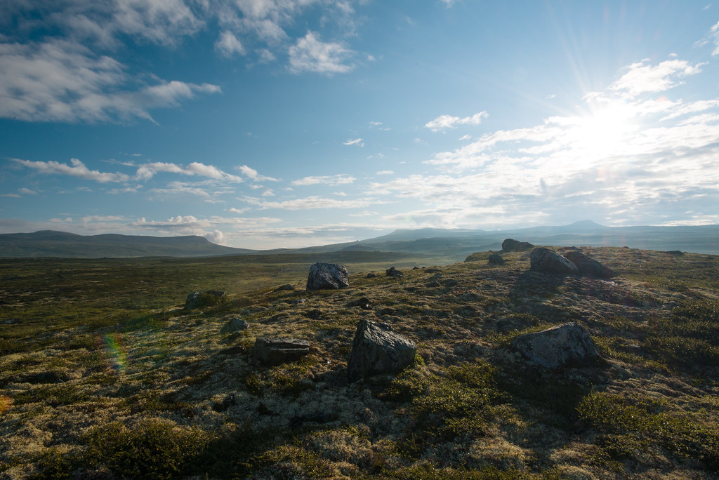
View from a train in Norway
Hardangervidda: Sheep
Hardangervidda: Sheep
Hardanger Blues 2013
Hardanger Blues 2013
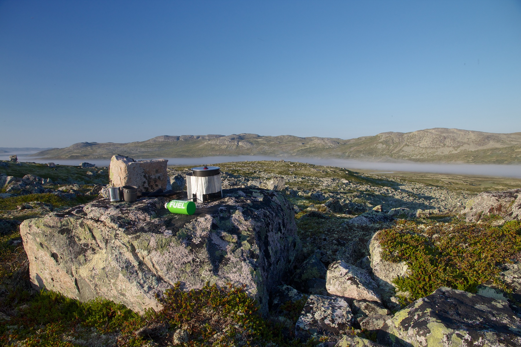
Tee kochen
bilde.JPG
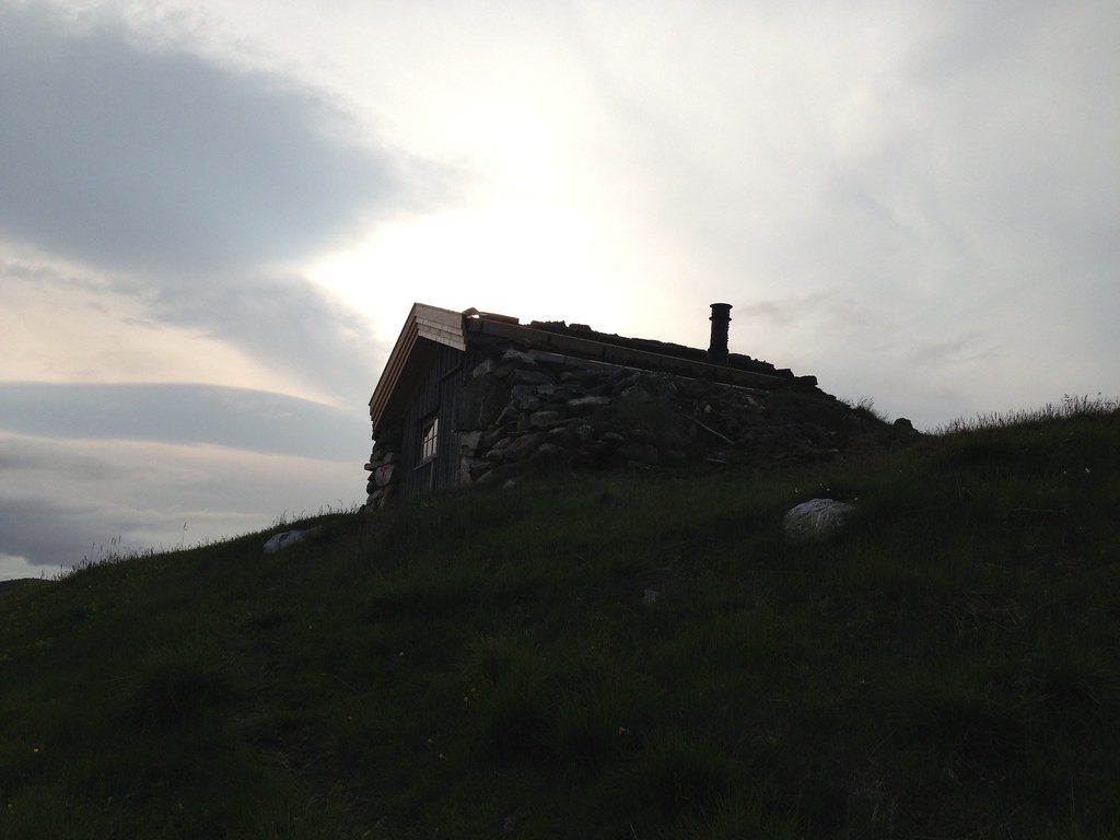
Am Morgen
Auf der Flucht
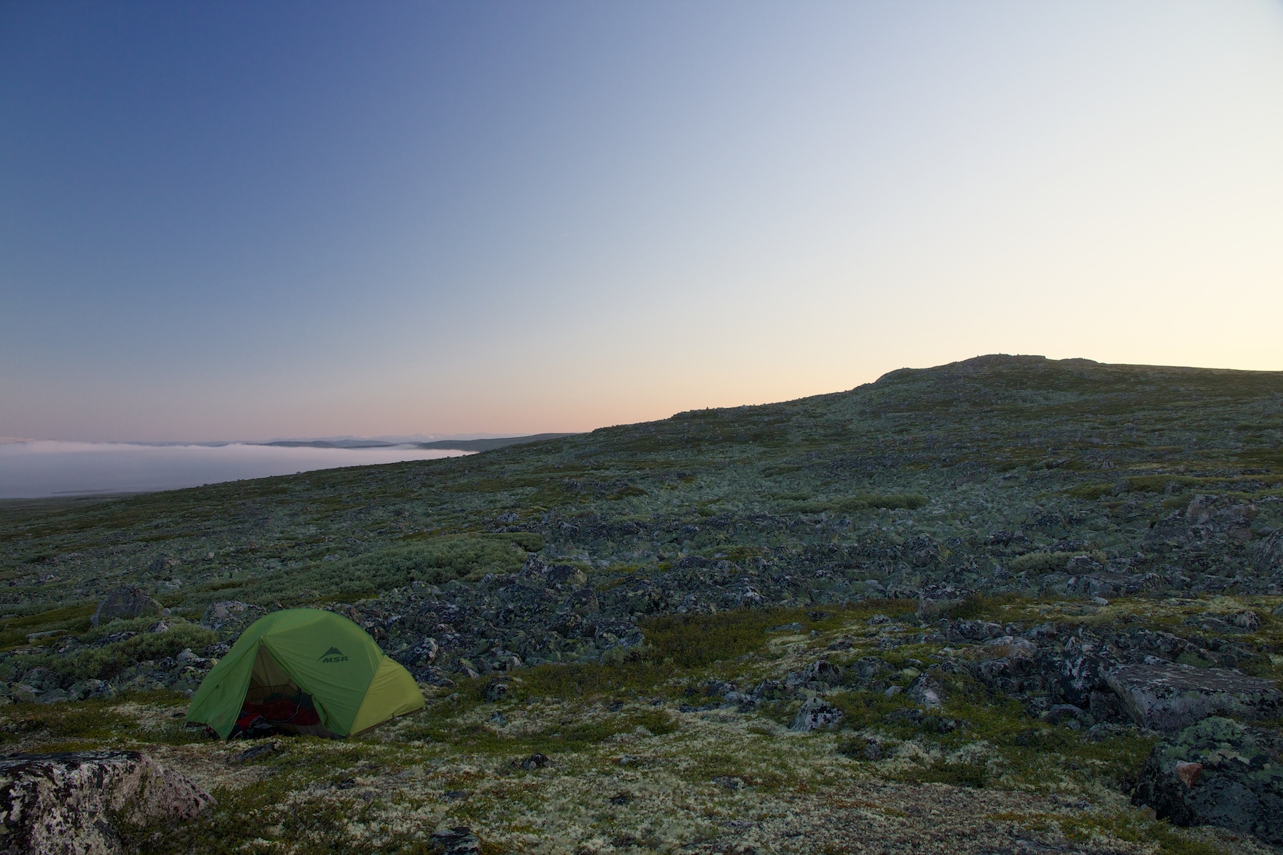
Lange Schatten
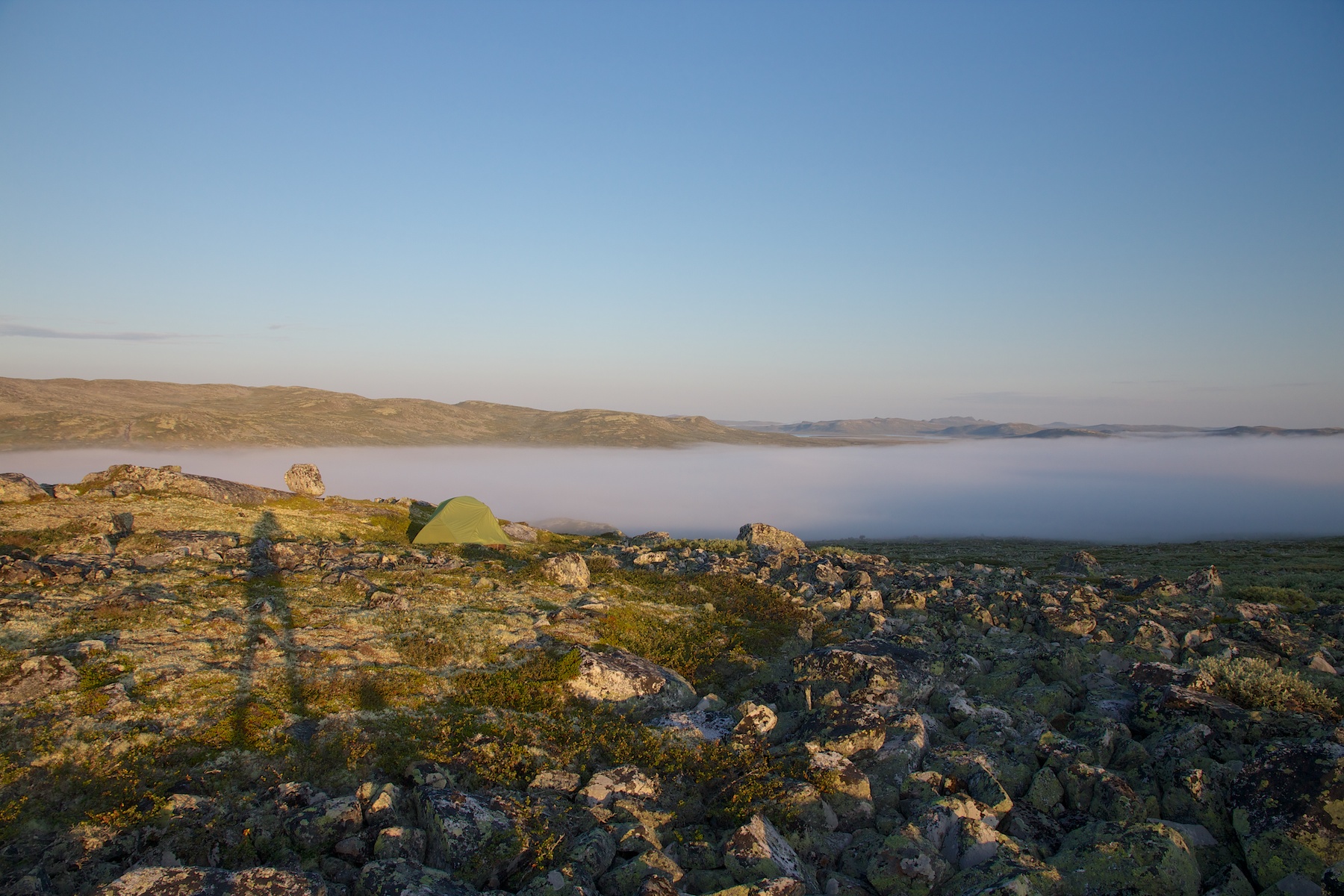
Da fahren sie dahin
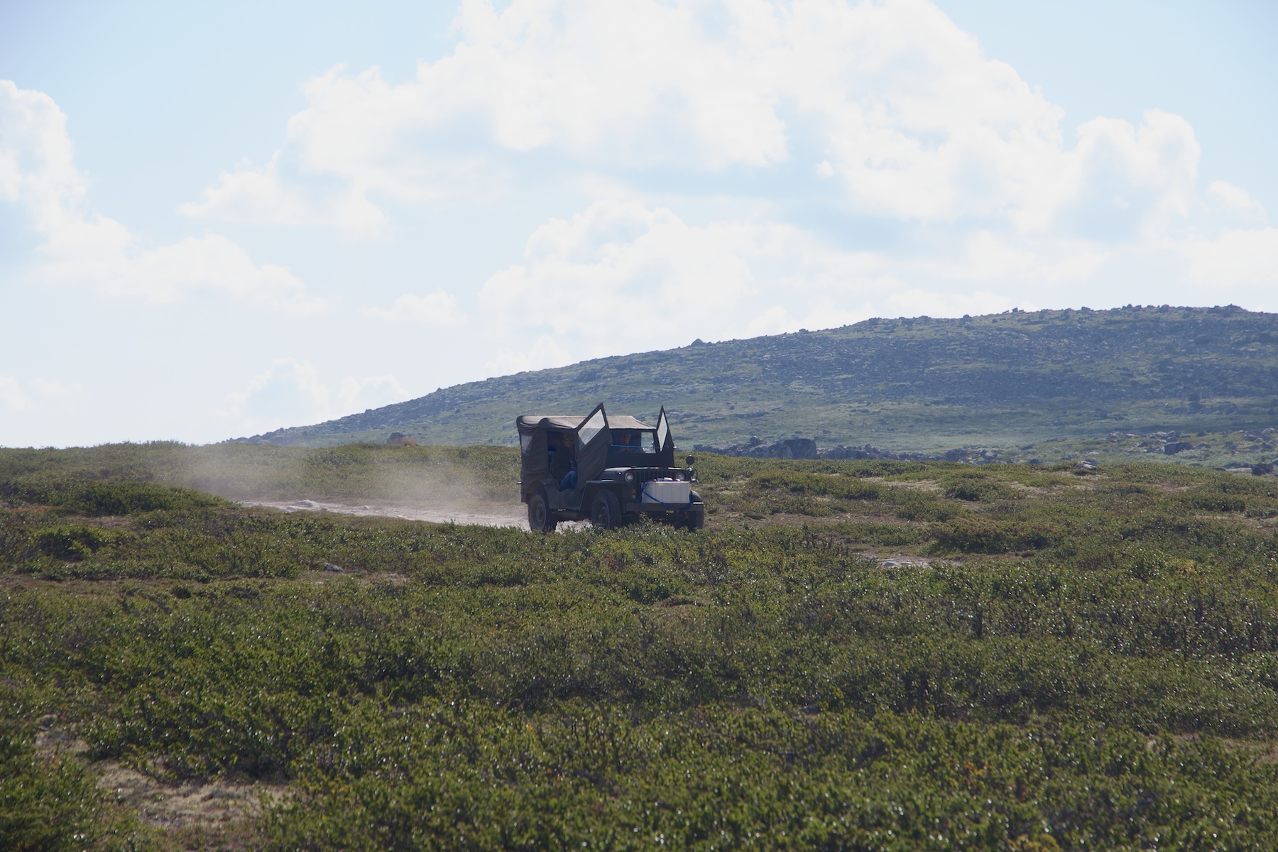
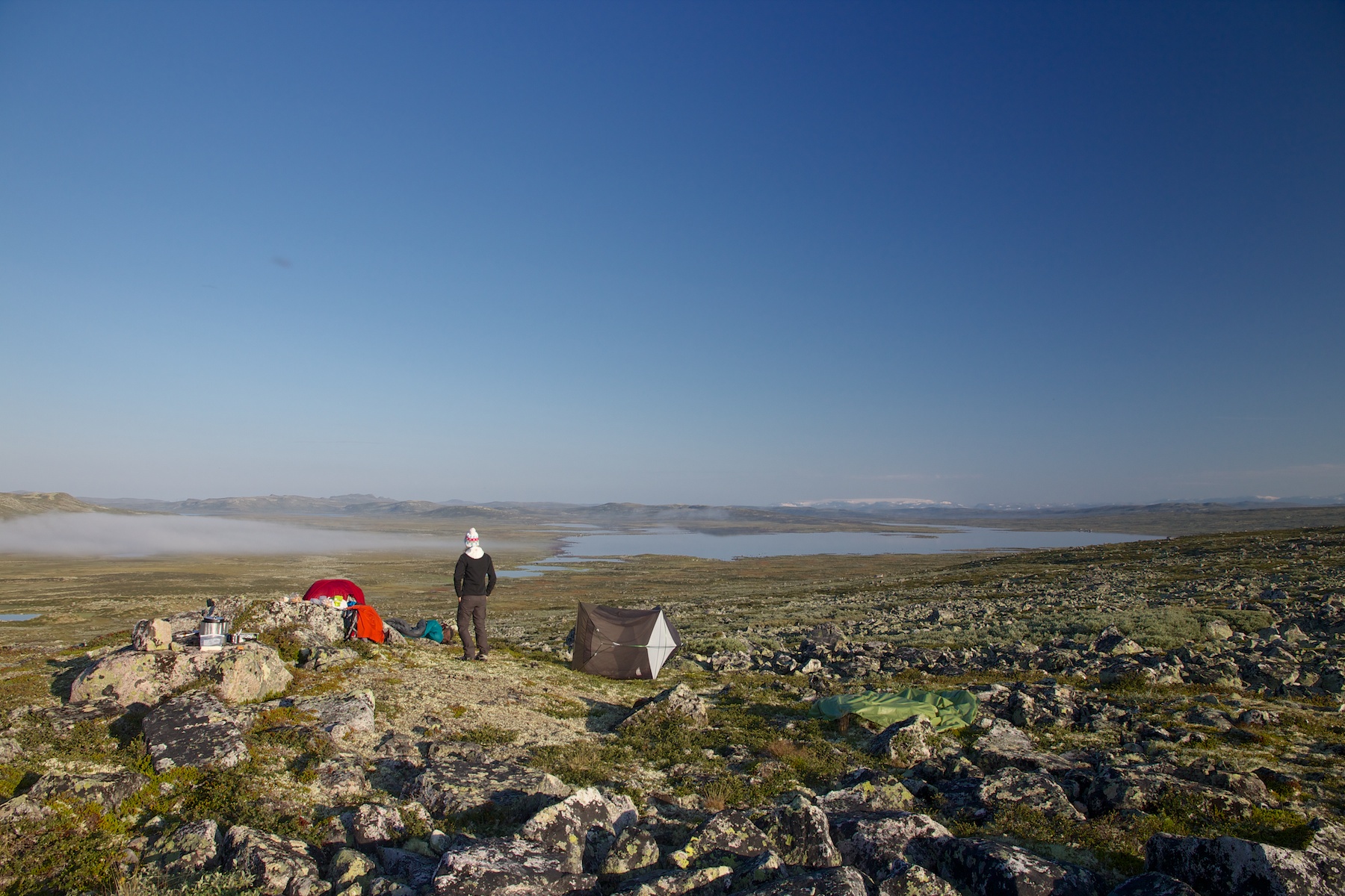
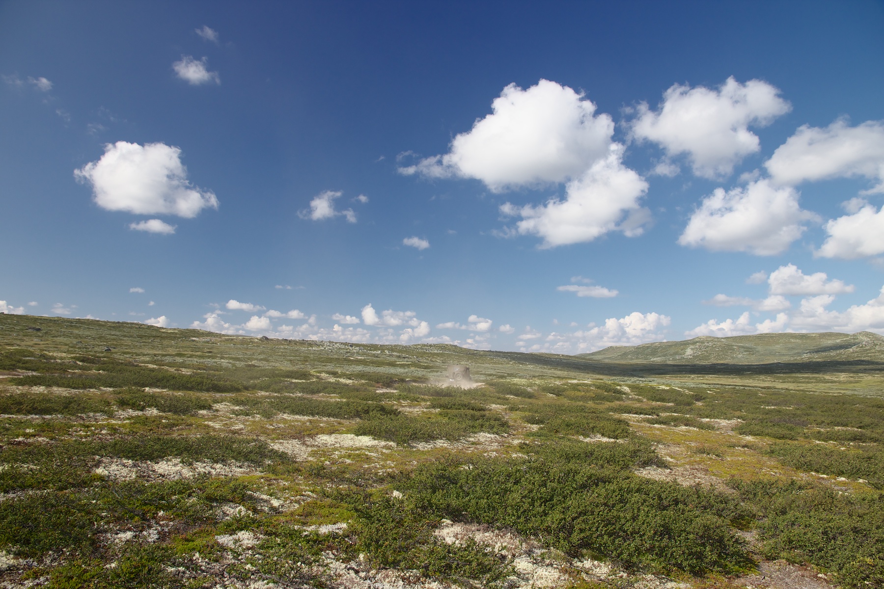
Mad Max
bilde.JPG
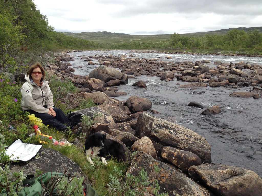
Near Heinseter
Topographic Map of Nore og Uvdal, Norway
Find elevation by address:

Places in Nore og Uvdal, Norway:
Fv 40, Nore, Norway
Rv40 30, Nore, Norway
Rv40 90, Uvdal, Norway
Fv, Nesbyen, Norway
Fv 60, Rødberg, Norway
Rv40, Uvdal, Norway
Rv40, Uvdal, Norway
Rv40, Uvdal, Norway
Rødberg
Places near Nore og Uvdal, Norway:
Seterdalen, Geilo, Norway
Vinje
Dyranut
Dyranut Turisthytta
Dyranut Fjellstova
Hardangervidda National Park
Fv 24, Rauland, Norway
Eidfjord
Rv 10, Rauland, Norway
Rv 30, Rauland, Norway
Maurset
Rauland Ski Center
Rauland
Haukeli
Vøringfossen
Seljord
Tokke
Selstadgrendi 19, Flatdal, Norway
Eidsborg
Haukeliseter Fjellstue
Recent Searches:
- Elevation of Zimmer Trail, Pennsylvania, USA
- Elevation of 87 Kilmartin Ave, Bristol, CT, USA
- Elevation of Honghe National Nature Reserve, QP95+PJP, Tongjiang, Heilongjiang, Jiamusi, Heilongjiang, China
- Elevation of Hercules Dr, Colorado Springs, CO, USA
- Elevation of Szlak pieszy czarny, Poland
- Elevation of Griffing Blvd, Biscayne Park, FL, USA
- Elevation of Kreuzburger Weg 13, Düsseldorf, Germany
- Elevation of Gateway Blvd SE, Canton, OH, USA
- Elevation of East W.T. Harris Boulevard, E W.T. Harris Blvd, Charlotte, NC, USA
- Elevation of West Sugar Creek, Charlotte, NC, USA