Elevation map of Nordreisa, Norway
Location: Norway > Troms >
Longitude: 21.3899912
Latitude: 69.5572309
Elevation: 443m / 1453feet
Barometric Pressure: 96KPa
Elevation Map:
Satellite Map:
Related Photos:

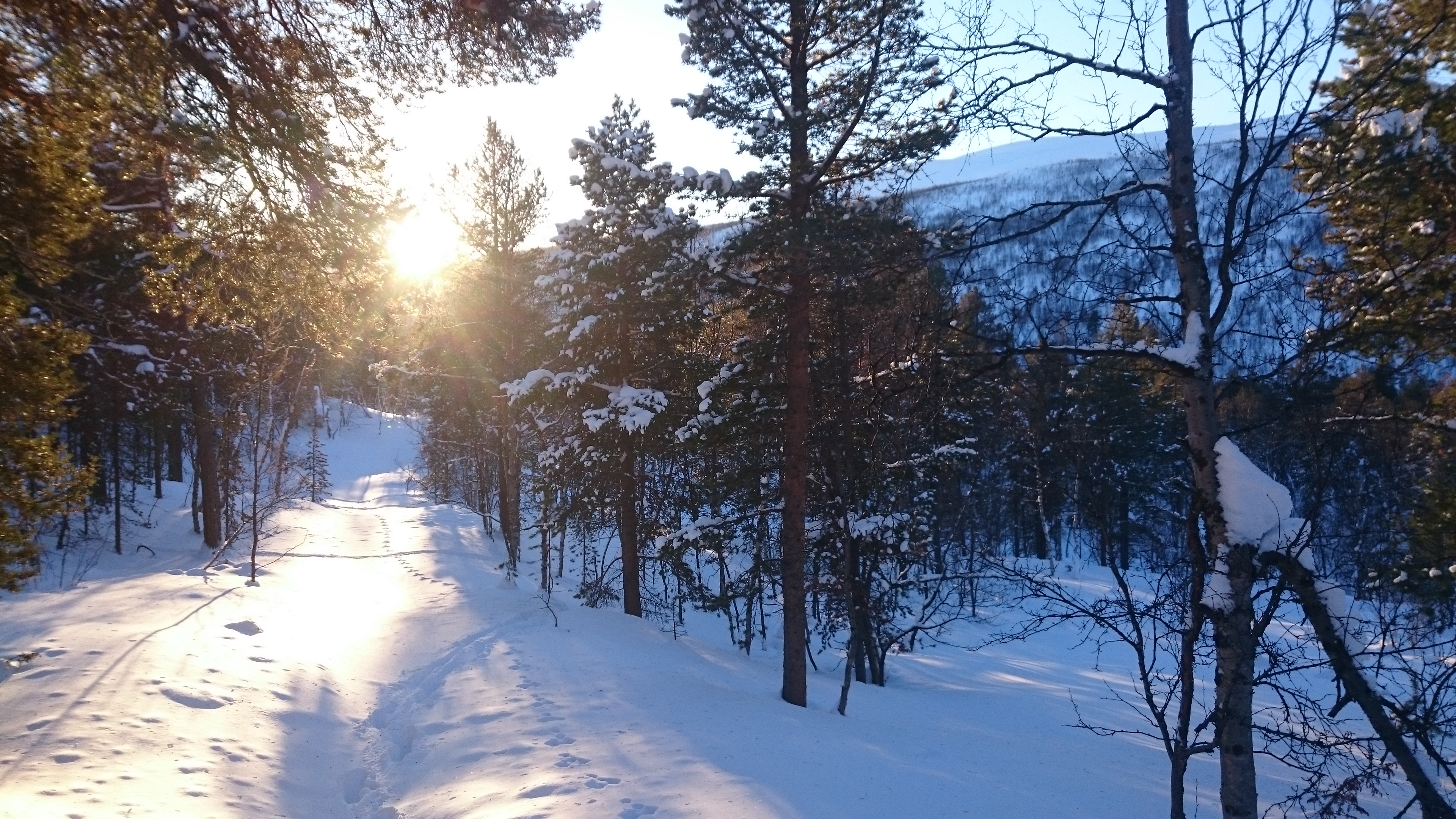
Saraelv

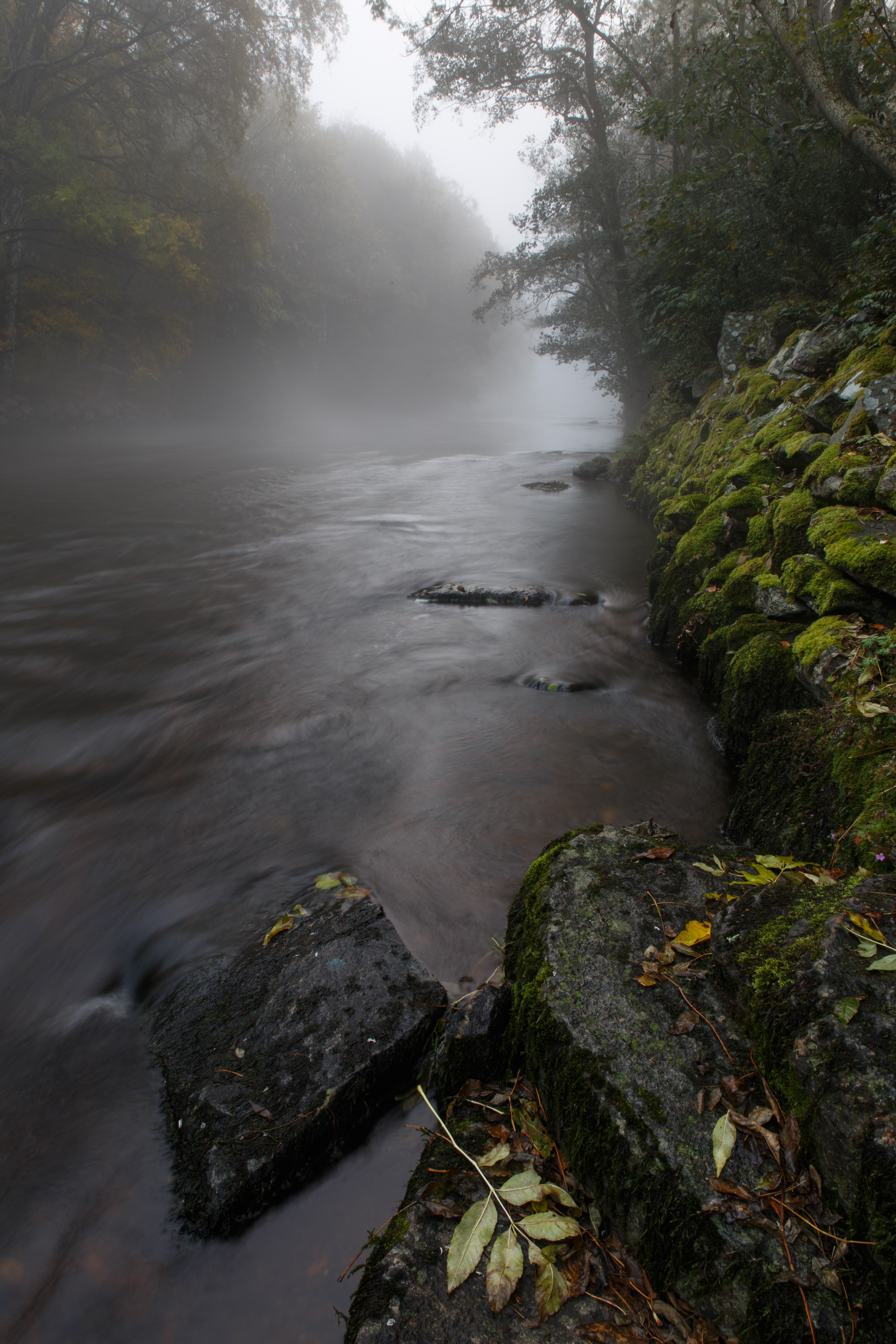
Punta i Reisadalen Foto: Tarjei Gunnestad

Snø nok! 170215 Foto T.Gunnestad
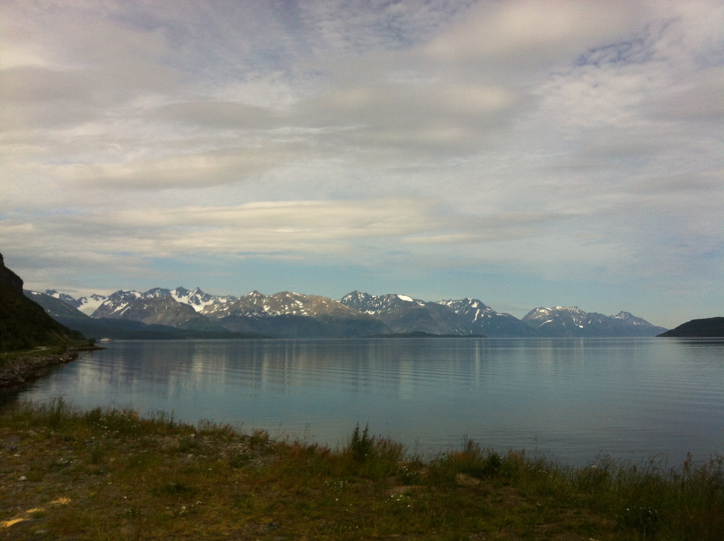
_MG_7572-1
Aufnahmen-1431

Aufnahmen-1432
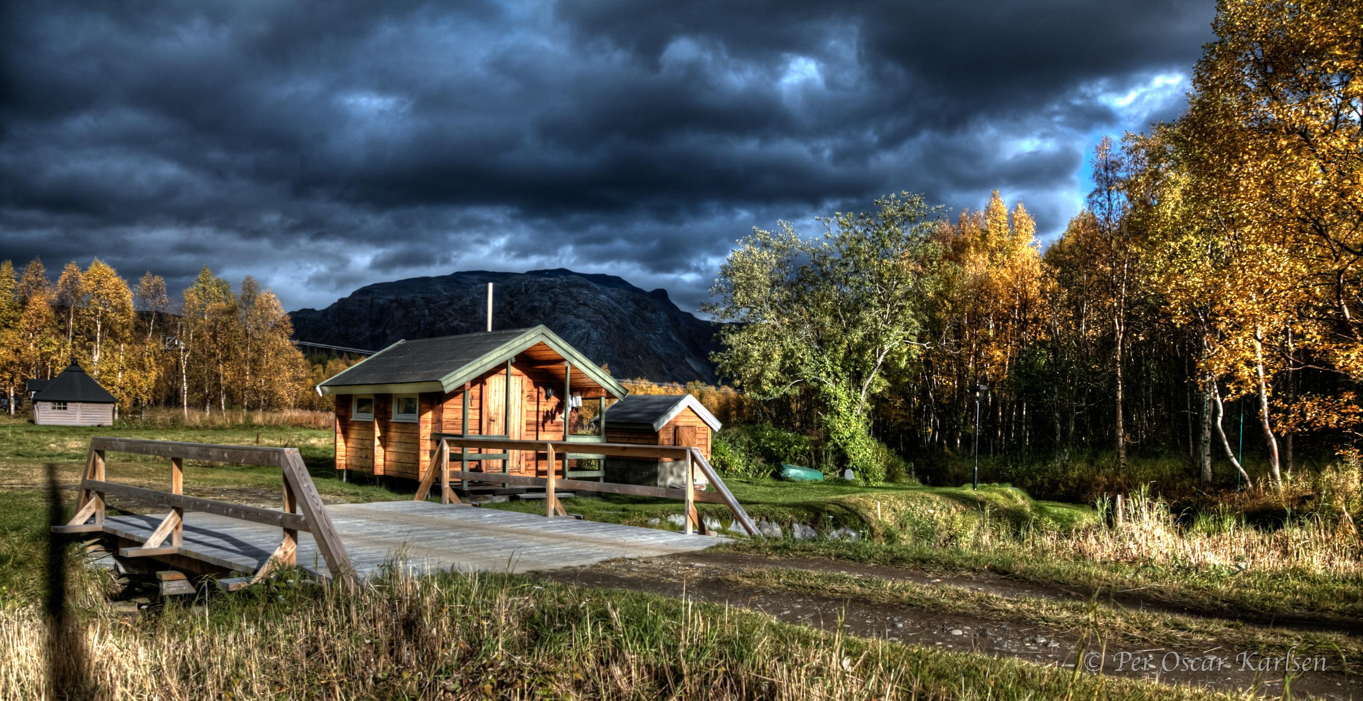
Liland (1 of 1)
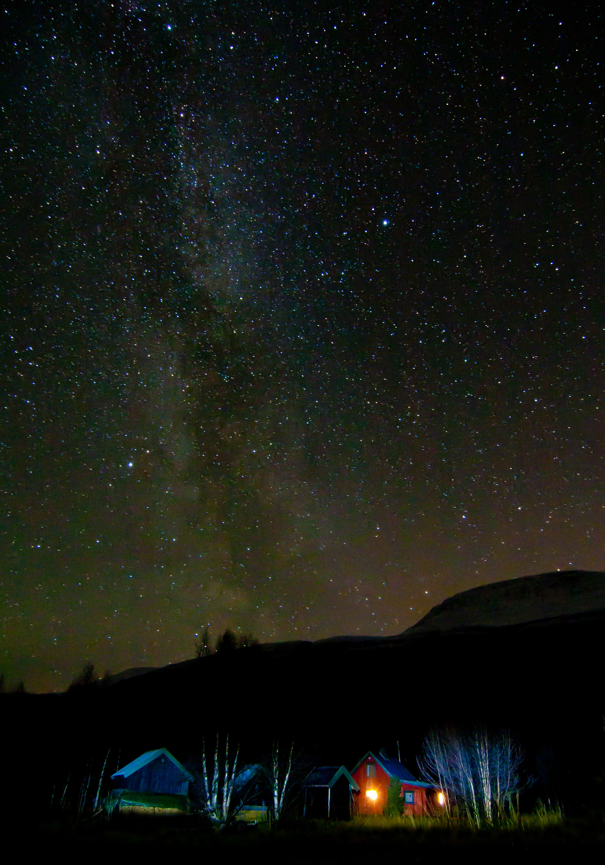
Milkyway Liland
Topographic Map of Nordreisa, Norway
Find elevation by address:

Places in Nordreisa, Norway:
Places near Nordreisa, Norway:
Halti
E6, Storslett, Norway
E6, Sørstraumen, Norway
Kvænangen
Fv72, Sandland, Norway
Fv71, Bergsfjord, Norway
Loppa
Bognelva
Tappeluftveien, Langfjordbotn, Norway
Recent Searches:
- Elevation of Congressional Dr, Stevensville, MD, USA
- Elevation of Bellview Rd, McLean, VA, USA
- Elevation of Stage Island Rd, Chatham, MA, USA
- Elevation of Shibuya Scramble Crossing, 21 Udagawacho, Shibuya City, Tokyo -, Japan
- Elevation of Jadagoniai, Kaunas District Municipality, Lithuania
- Elevation of Pagonija rock, Kranto 7-oji g. 8"N, Kaunas, Lithuania
- Elevation of Co Rd 87, Jamestown, CO, USA
- Elevation of Tenjo, Cundinamarca, Colombia
- Elevation of Côte-des-Neiges, Montreal, QC H4A 3J6, Canada
- Elevation of Bobcat Dr, Helena, MT, USA