Elevation of Nominingue, QC, Canada
Location: Canada > Québec > Antoine-labelle Regional County Municipality >
Longitude: -75.024376
Latitude: 46.3972092
Elevation: 257m / 843feet
Barometric Pressure: 98KPa
Elevation Map:
Satellite Map:
Related Photos:
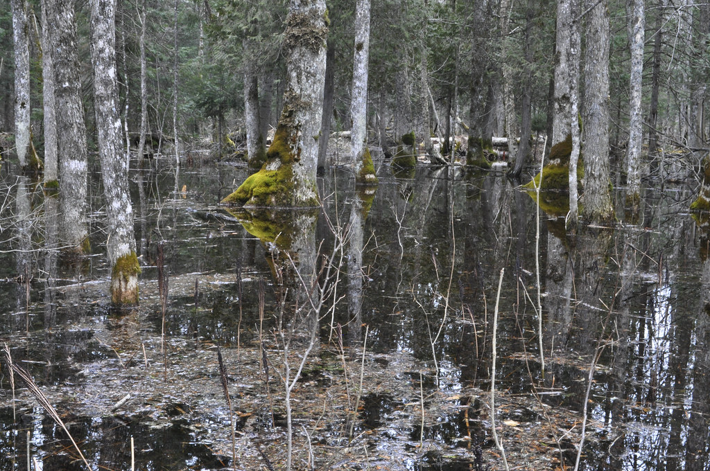
frênaie printanière
Lac-Saguay DSC_6033 copie

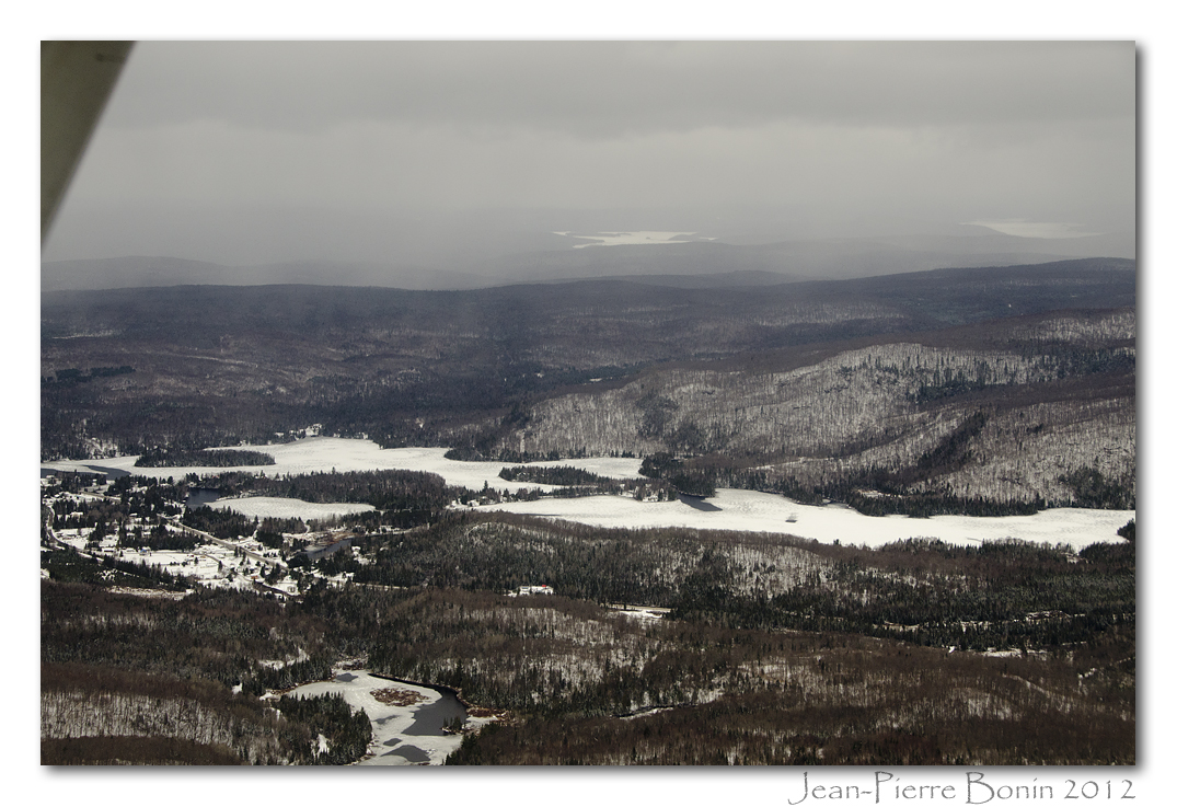
Lac-Saguay

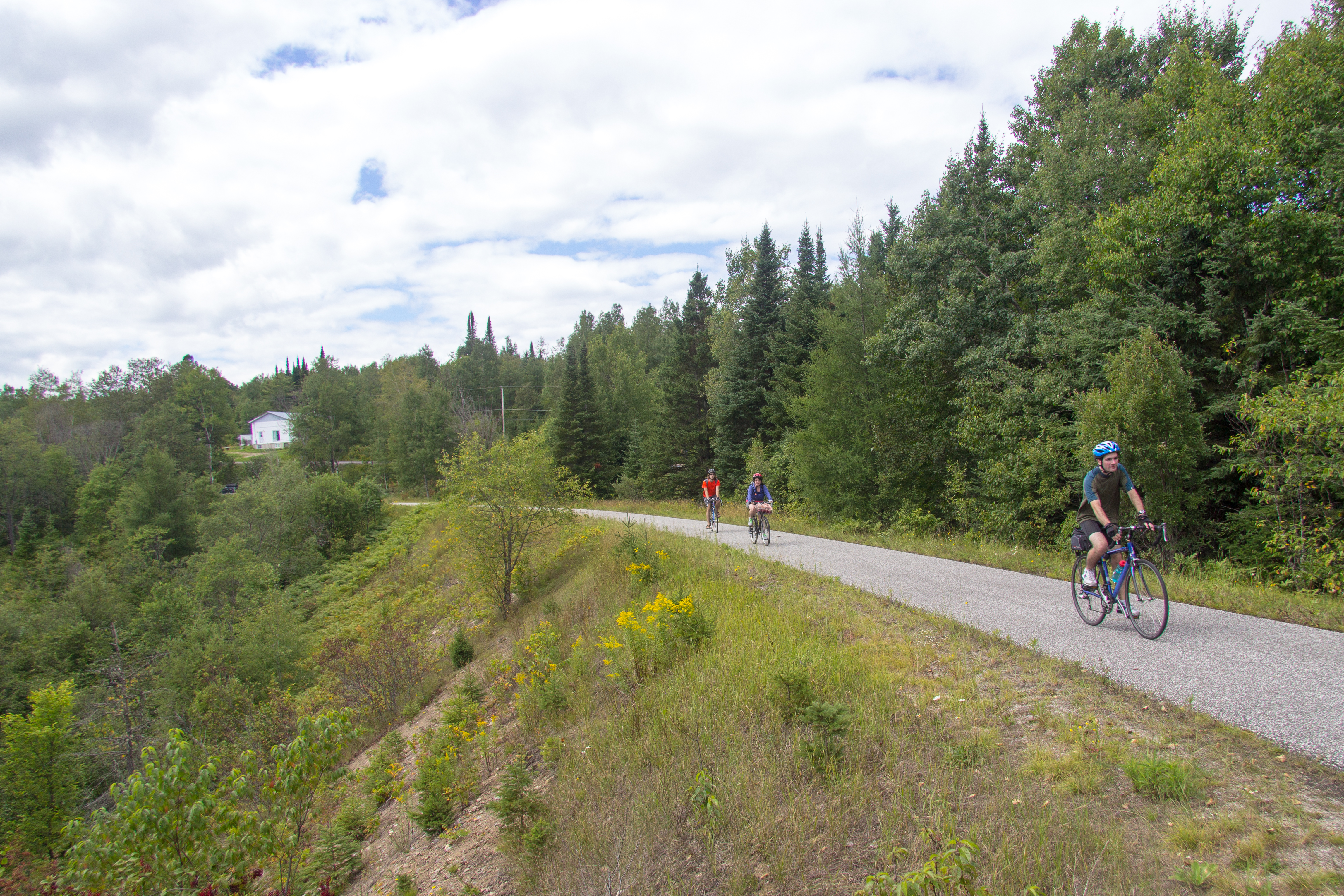
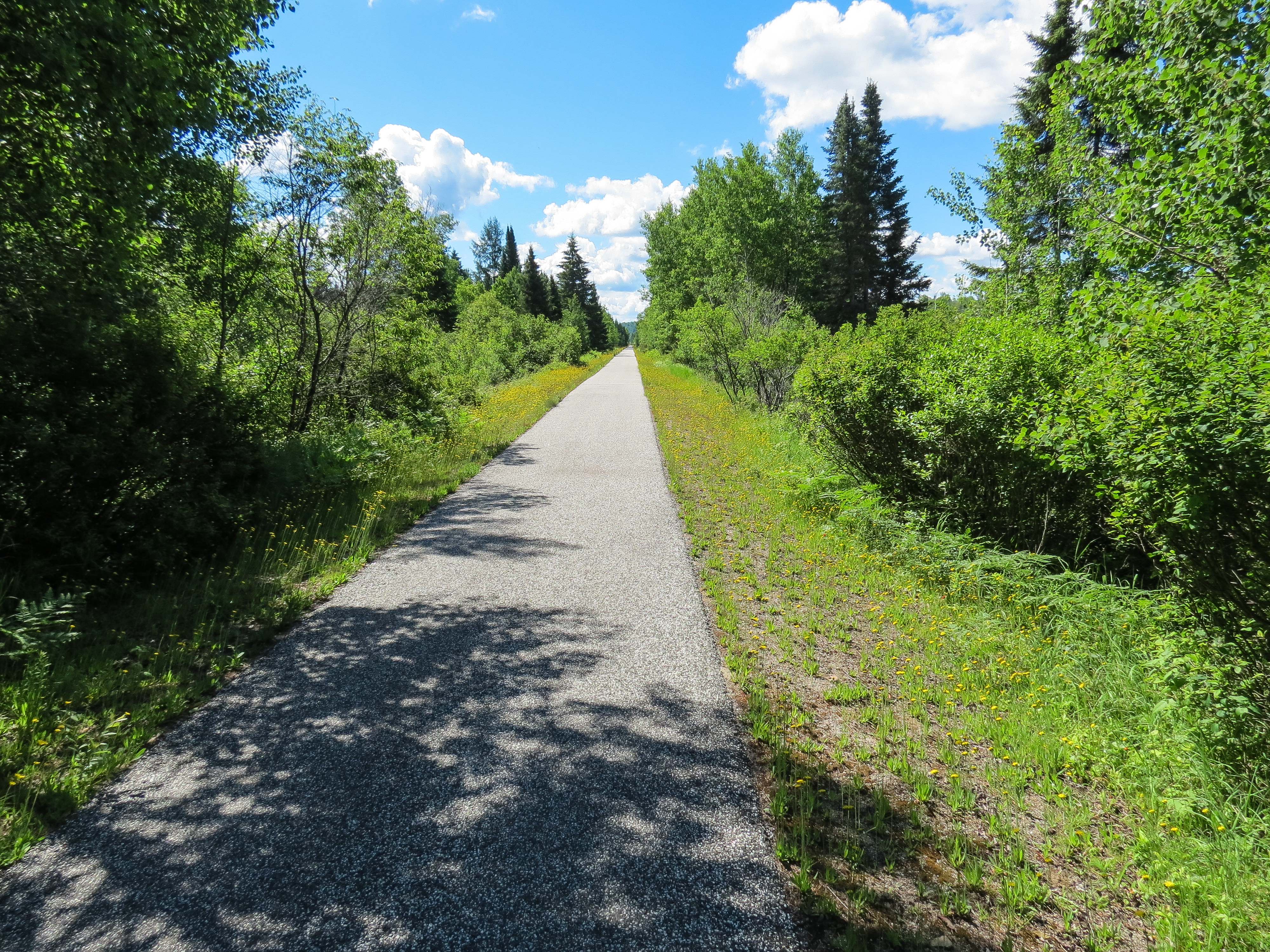
Along the P'tit Train Du Nord Trail

Lac-Saguay
The path runs along a ledge
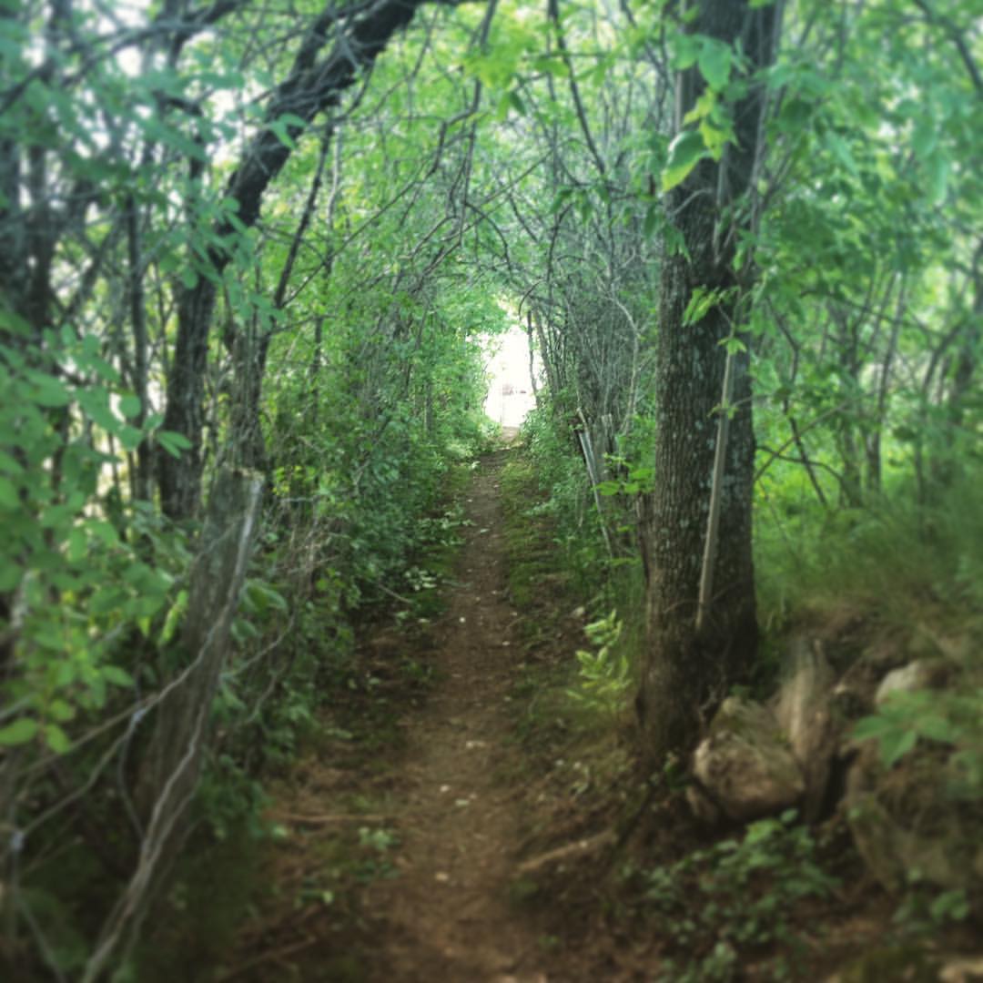
Path to the lake

IMG_5939-1
This Way to St-Jerome
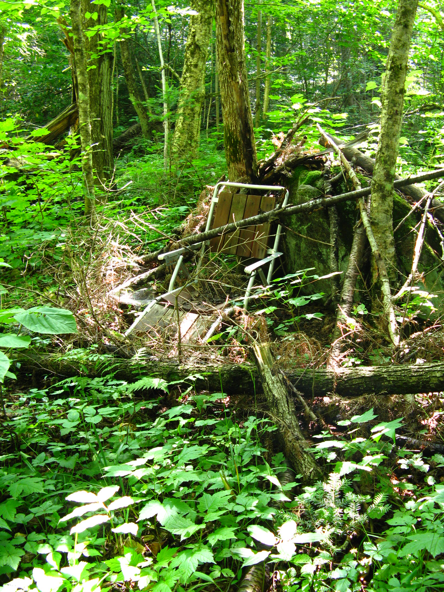
Have a seat.
Topographic Map of Nominingue, QC, Canada
Find elevation by address:

Places in Nominingue, QC, Canada:
Places near Nominingue, QC, Canada:
Auberge/restaurant L'ile De France
Provincialart
Nominingue
576 Chemin Des Hérons
2361 Chemin Des Pinsons
611 Chemin Des Sternes
611 Chemin Des Sternes
Lac Blanc
Chemin De La Rive
250 Chemin Vetter
220 Chemin Vetter
Chemin Du Lac Boileau Ouest
212 Chemin Vetter
212 Chemin Vetter
19 Chemin Lefebvre, La Minerve, QC J0T 1S0, Canada
Ch Bois Francs O
Chemin Daigneault Nord
Chemin Daigneault Sud
La Minerve
Montée Bergeron
Recent Searches:
- Elevation of 3 Nestling Wood Dr, Long Valley, NJ, USA
- Elevation of Ilungu, Tanzania
- Elevation of Yellow Springs Road, Yellow Springs Rd, Chester Springs, PA, USA
- Elevation of Rēzekne Municipality, Latvia
- Elevation of Plikpūrmaļi, Vērēmi Parish, Rēzekne Municipality, LV-, Latvia
- Elevation of 2 Henschke Ct, Caboolture QLD, Australia
- Elevation of Redondo Ave, Long Beach, CA, USA
- Elevation of Sadovaya Ulitsa, 20, Rezh, Sverdlovskaya oblast', Russia
- Elevation of Ulitsa Kalinina, 79, Rezh, Sverdlovskaya oblast', Russia
- Elevation of 72-31 Metropolitan Ave, Middle Village, NY, USA