Elevation of Nohant-Vic, France
Location: France > Centre > Indre >
Longitude: 1.956329
Latitude: 46.6393757
Elevation: 226m / 741feet
Barometric Pressure: 99KPa
Elevation Map:
Satellite Map:
Related Photos:

Nice view of the beach.

view above the street flat 2

86. La Châtre. Quartier de la Tête Noire. Vieille Porte de l'Ancien Grenier à Sel (c.1920)
Visite Chez Andre 04 mars 2014-15h39mn06s

Visite Chez Andre 04 mars 2014-15h12mn56s
Visite Chez Andre 04 mars 2014-15h47mn49s

Visite Chez Andre 04 mars 2014-15h02mn10s

Visite Chez Andre 04 mars 2014-16h24mn30s

Bretagne 2014 #bretagne #france #blackandwhite #

Visite Chez Andre 04 mars 2014-15h46mn32s

Pouligny-Saint-Martin (Indre)

Mers-sur-Indre (Indre)

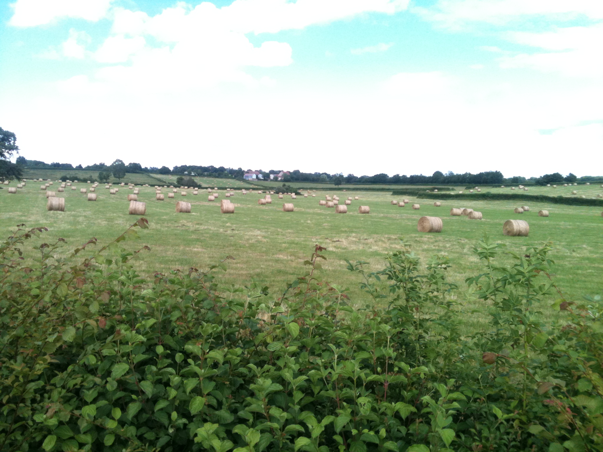
Blé - Berry été 2009
Visite Chez Andre 04 mars 2014-15h07mn09s
Summerholidays in La Chatre by tandem 71

Champ de tournesols
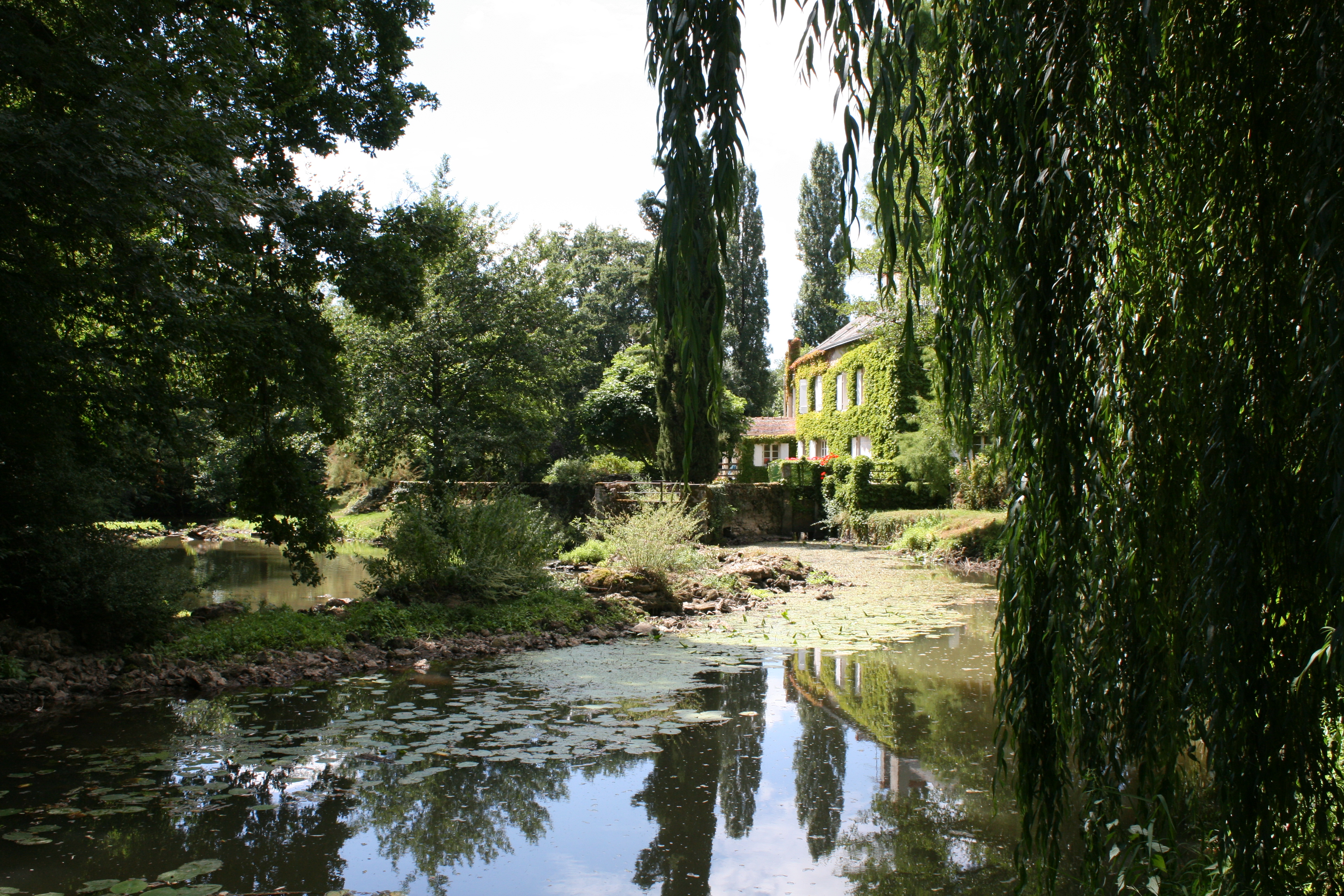
Moulin de Chemée (36)

Berry été 2009

Berry été 2009

Berry été 2009
Summerholidays in La Chatre by tandem 72

2013-10-03 174616 Sarzay
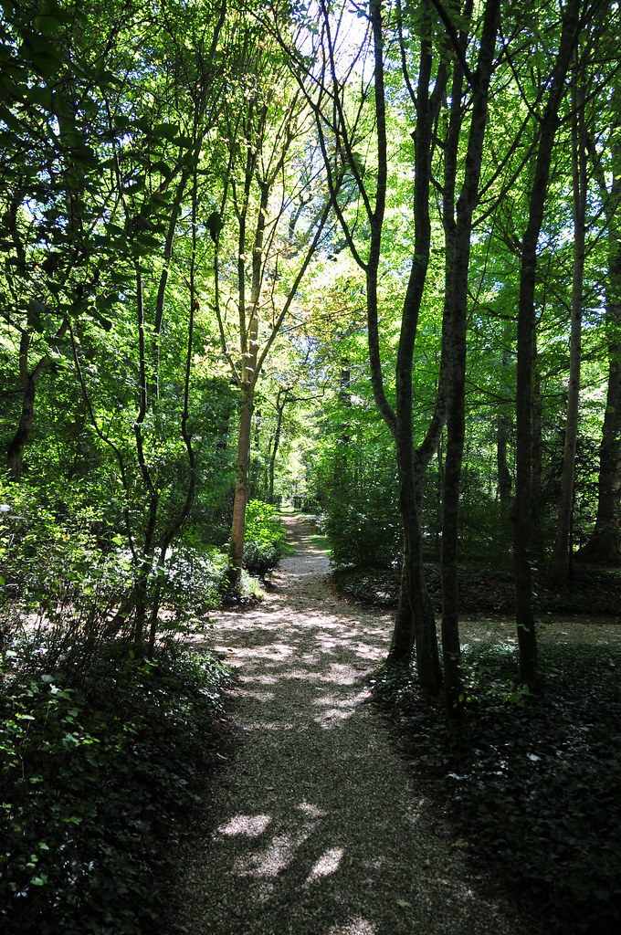
A l'ombre des grands arbres
Topographic Map of Nohant-Vic, France
Find elevation by address:

Places in Nohant-Vic, France:
Places near Nohant-Vic, France:
4 D, Nohant-Vic, France
21 Violet, Sarzay, France
Sarzay
La Châtre
51 Rue du Faubourg Saint-Abdon, La Châtre, France
Saint-denis-de-jouhet
10 Rue Eugène Menet, Saint-Denis-de-Jouhet, France
Ardentes
57 Rue du Huit Mai, Ardentes, France
Champillet
2 Route de Chateaumeillant, Champillet, France
26 Le Grand Pommier, La Forêt-du-Temple, France
La Forêt-du-temple
Allée de Lourouer les Bois, Le Poinçonnet, France
Touchay
2 Route de la Planche des Moussiau, Touchay, France
Le Poinçonnet
19 Allée Rosa Luxembourg, Le Poinçonnet, France
45 Route du Petit Epot, Le Poinçonnet, France
Maillet
Recent Searches:
- Elevation of Elwyn Dr, Roanoke Rapids, NC, USA
- Elevation of Congressional Dr, Stevensville, MD, USA
- Elevation of Bellview Rd, McLean, VA, USA
- Elevation of Stage Island Rd, Chatham, MA, USA
- Elevation of Shibuya Scramble Crossing, 21 Udagawacho, Shibuya City, Tokyo -, Japan
- Elevation of Jadagoniai, Kaunas District Municipality, Lithuania
- Elevation of Pagonija rock, Kranto 7-oji g. 8"N, Kaunas, Lithuania
- Elevation of Co Rd 87, Jamestown, CO, USA
- Elevation of Tenjo, Cundinamarca, Colombia
- Elevation of Côte-des-Neiges, Montreal, QC H4A 3J6, Canada