Elevation of No., Xinzhuang Rd, Chaozhou Township, Pingtung County, Taiwan
Location: Taiwan > Pingtung County > Chaozhou Township > 崙東里 >
Longitude: 120.569990
Latitude: 22.524351
Elevation: 31m / 102feet
Barometric Pressure: 101KPa
Elevation Map:
Satellite Map:
Related Photos:

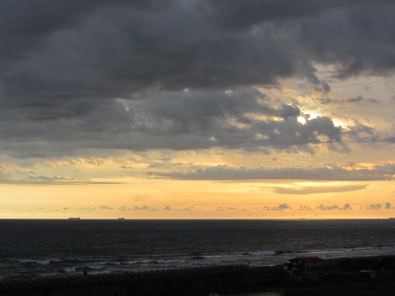
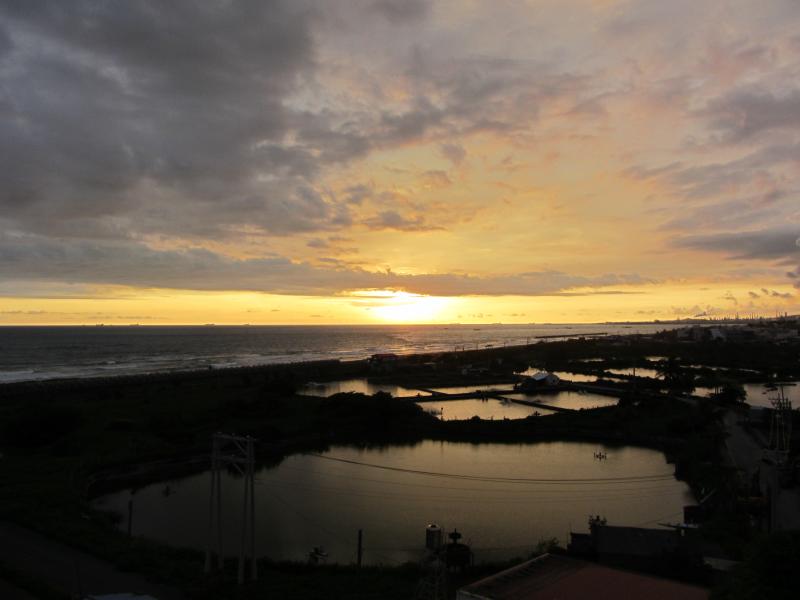
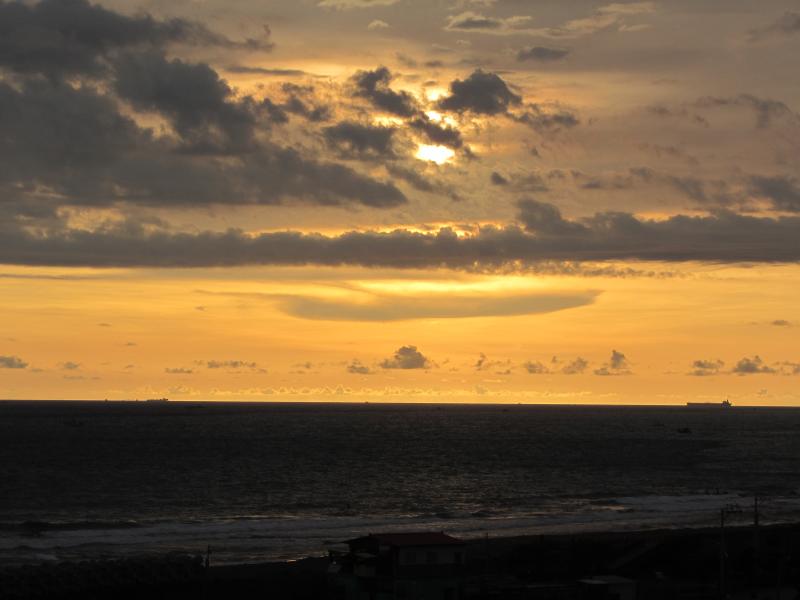
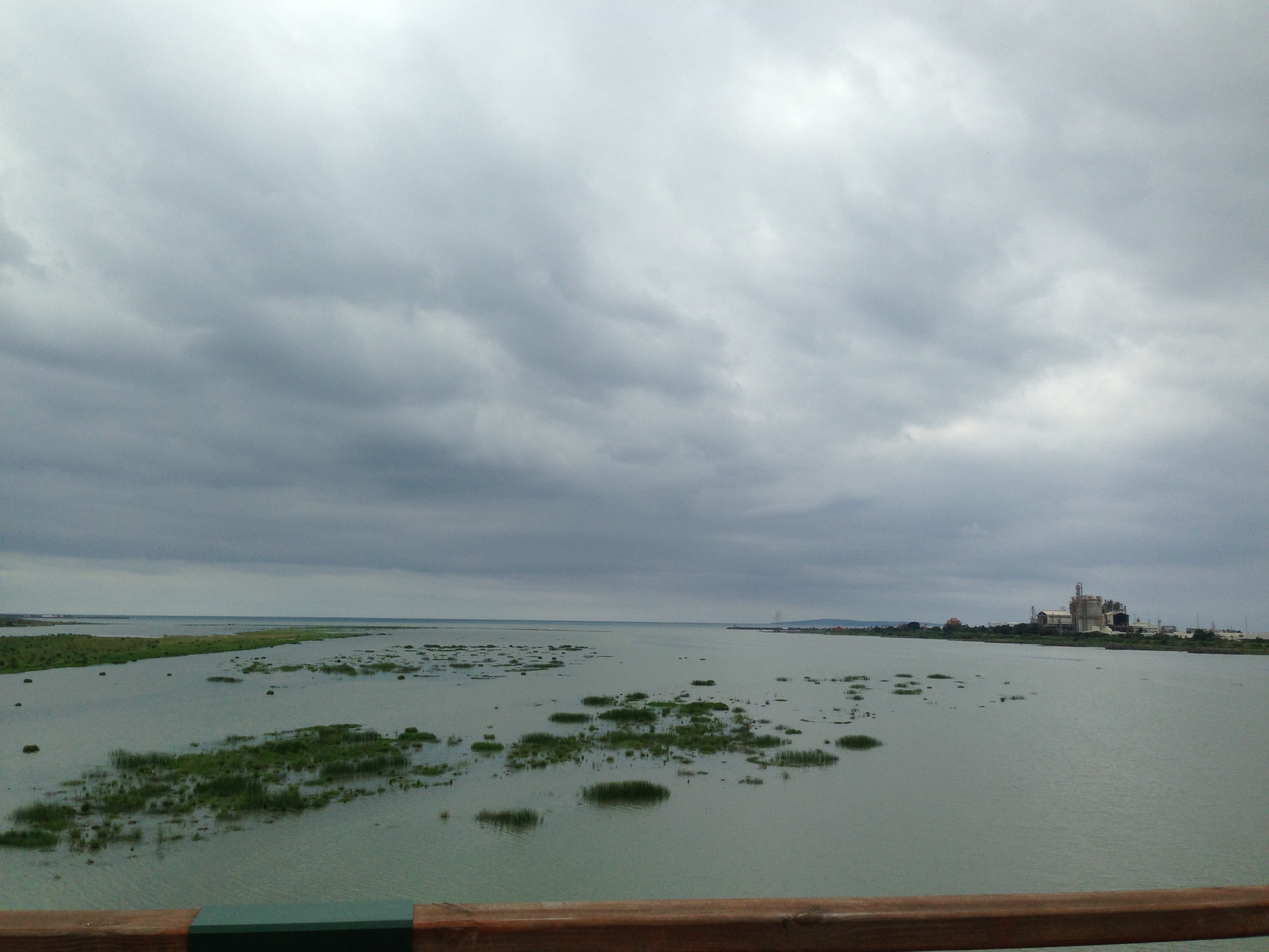
Sunset (Viewed From Dapeng Bay Bridge)
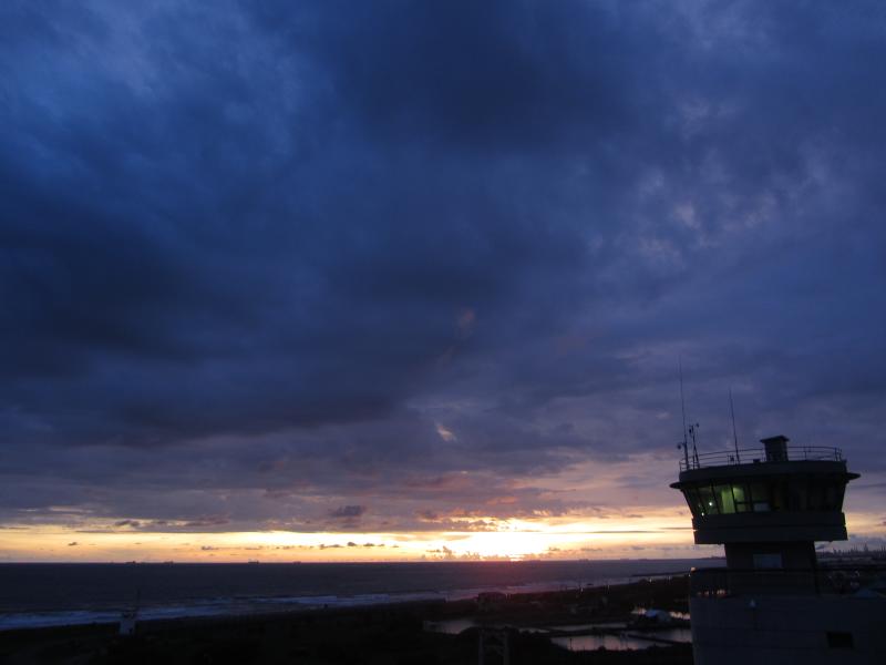
Sunset (Viewed From Dapeng Bay Bridge)

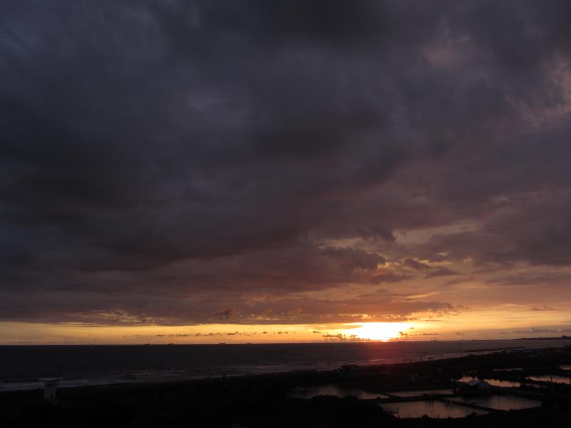
Sunset (Viewed From Dapeng Bay Bridge)

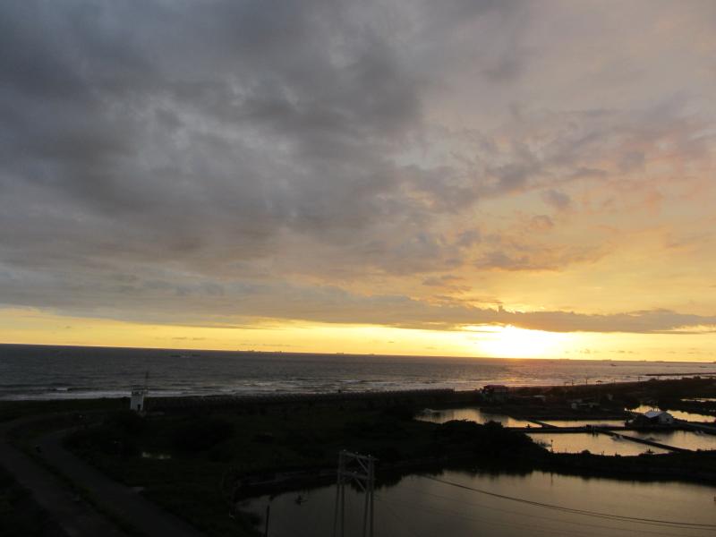
Sunset (Viewed From Dapeng Bay Bridge)

Sunset (Viewed From Dapeng Bay Bridge)

Sunset (Viewed From Dapeng Bay Bridge)

Sunset (Viewed From Dapeng Bay Bridge)
Sunset (Viewed From Dapeng Bay Bridge)
Sunset (Viewed From Dapeng Bay Bridge)

#三平#fujifilm#X100

Sunset (Viewed From Dapeng Bay Bridge)
Sunset (Viewed From Dapeng Bay Bridge)

Sunset (Viewed From Dapeng Bay Bridge)
Sunset (Viewed From Dapeng Bay Bridge)

Sunset (Viewed From Dapeng Bay Bridge)

Sunset (Viewed From Dapeng Bay Bridge)
Sunset (Viewed From Dapeng Bay Bridge)
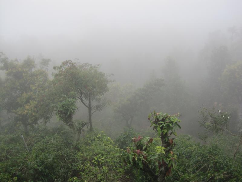
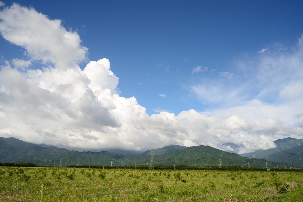
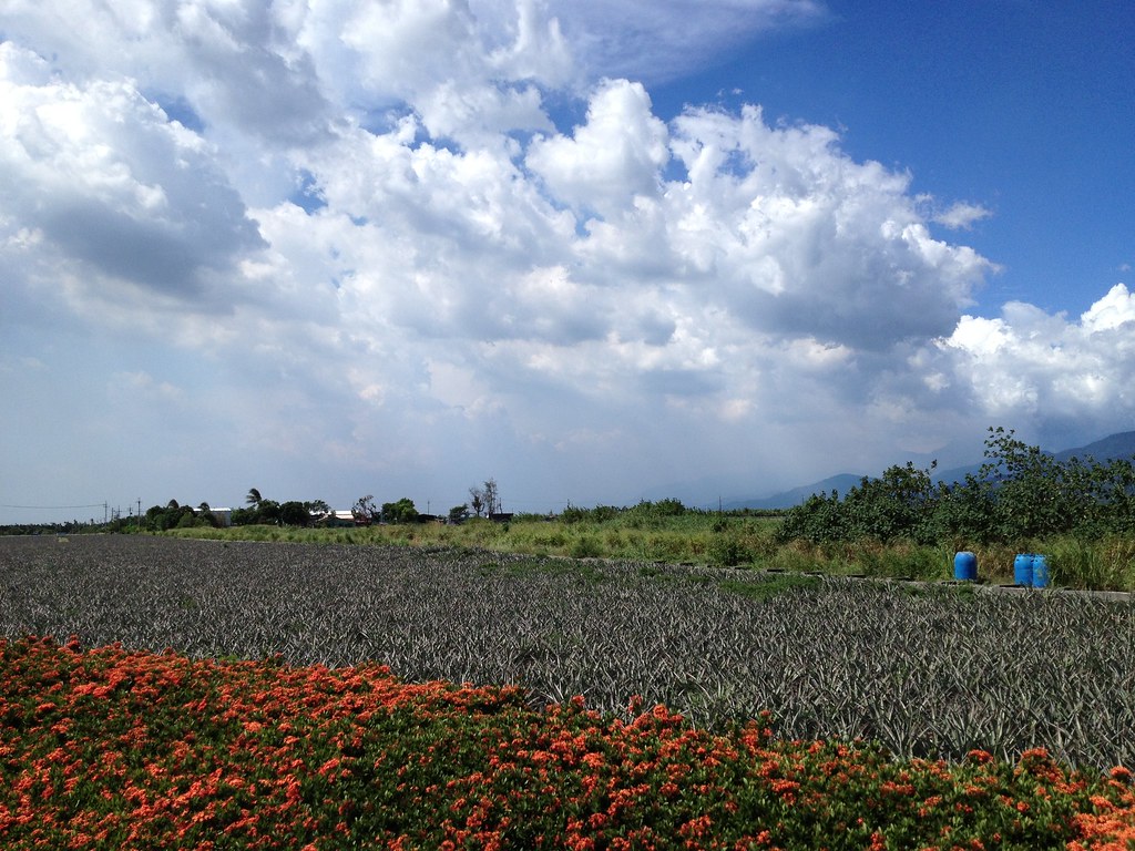
Surrounding View
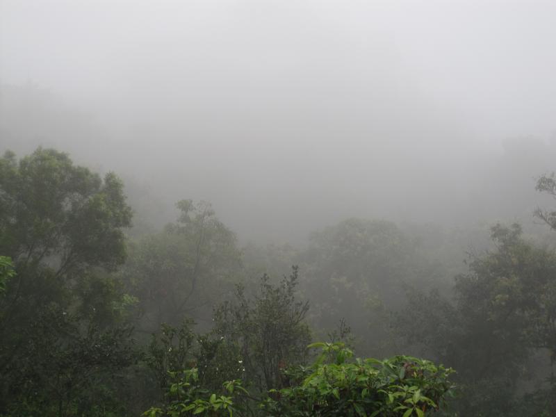
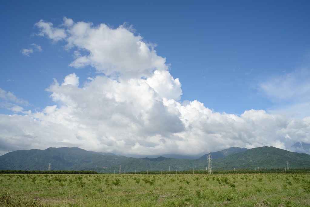
Surrounding View

First view of abandoned Dashun Hospital 大順醫院

An oblique view of Dashun Hospital 大順醫院

Dapeng Bay(大鵬灣) Ocean-crossing Bridge & Firework2, Taiwan
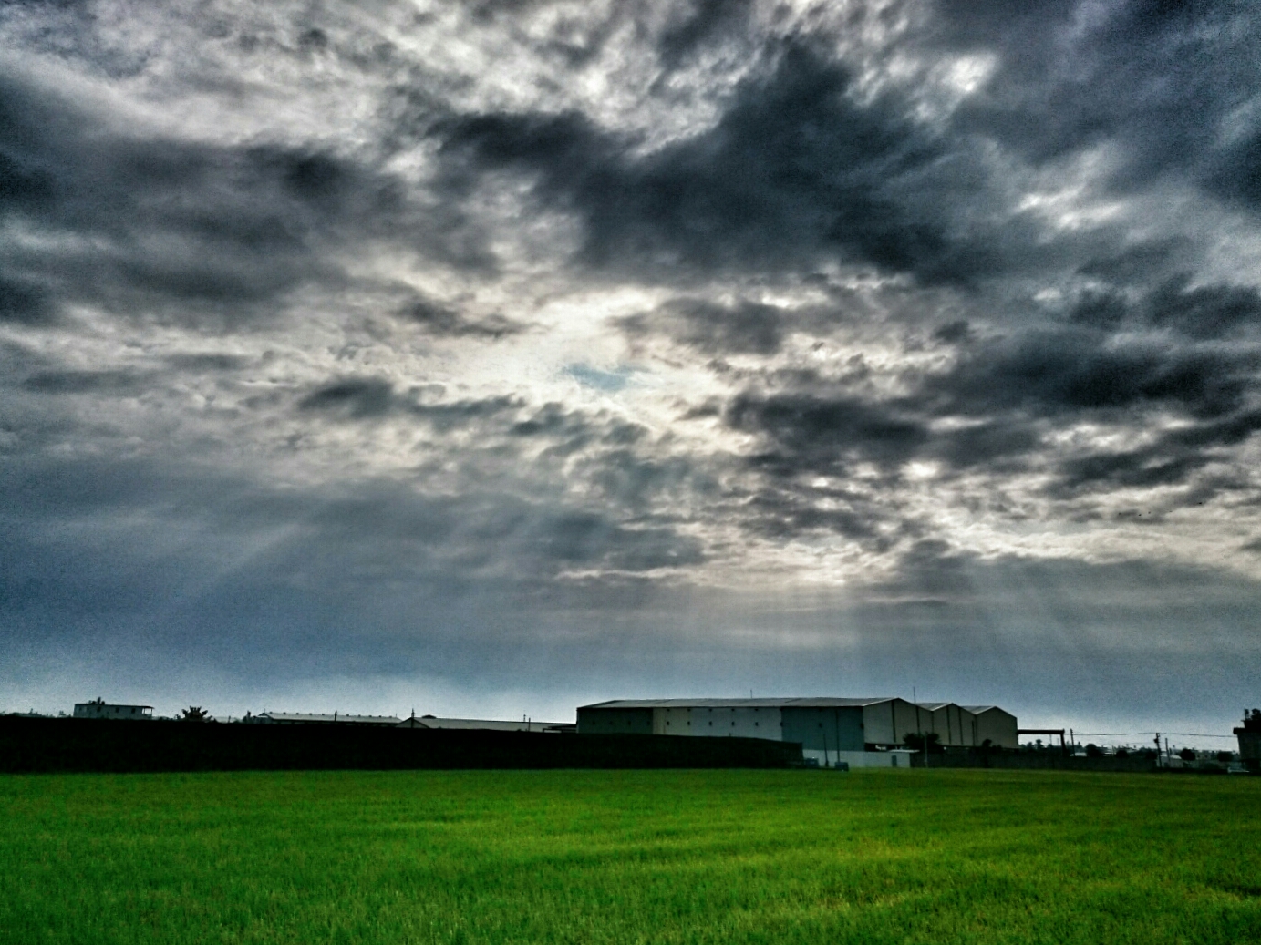
2012-The Sky_012
2012-The Sky_006
2012-The Sky_015
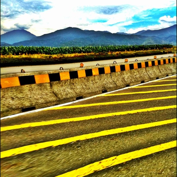
沿山公路風景 Yanshan Highway, Ping-tung city, Taiwan
20130729墾丁遊
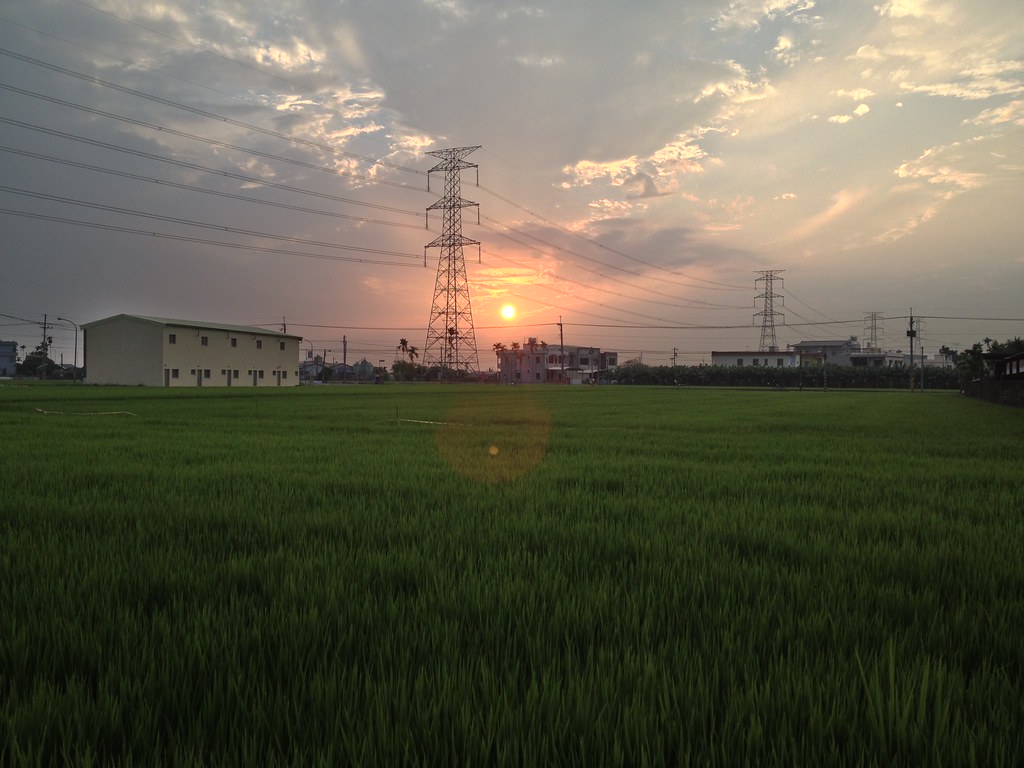
夕の稻田1
DSC_4172~2_20150505182508661

高屏地區夕照又燒粉了2013.07.30
20130501高雄到花蓮單車環島
墾丁go

2015-05-02_12-01-15

C360_2011-11-17 13-48-47
2011-11-16_17-01-43_15
Topographic Map of No., Xinzhuang Rd, Chaozhou Township, Pingtung County, Taiwan
Find elevation by address:

Places near No., Xinzhuang Rd, Chaozhou Township, Pingtung County, Taiwan:
崙東里
Chaozhou Township
泗林里
4-5
No. 8, Lane 3, Kaiyuan Rd, Chaozhou Township, Pingtung County, Taiwan
南豐村
11-1
興美里
Pingtung County
No. 37, Yongkang Rd, Wanluan Township, Pingtung County, Taiwan
鹿寮村
24-10
Taiwan, Pingtung County, Chaozhou Township, 重義巷號
No. 1, Gaogang Rd, Wanluan Township, Pingtung County, Taiwan
八爺里
No. 2, Shepi Rd, Kanding Township, Pingtung County, Taiwan
萬全村
9-1
蓬萊里
園寮村
Recent Searches:
- Elevation of 6 Rue Jules Ferry, Beausoleil, France
- Elevation of Sattva Horizon, 4JC6+G9P, Vinayak Nagar, Kattigenahalli, Bengaluru, Karnataka, India
- Elevation of Great Brook Sports, Gold Star Hwy, Groton, CT, USA
- Elevation of 10 Mountain Laurels Dr, Nashua, NH, USA
- Elevation of 16 Gilboa Ln, Nashua, NH, USA
- Elevation of Laurel Rd, Townsend, TN, USA
- Elevation of 3 Nestling Wood Dr, Long Valley, NJ, USA
- Elevation of Ilungu, Tanzania
- Elevation of Yellow Springs Road, Yellow Springs Rd, Chester Springs, PA, USA
- Elevation of Rēzekne Municipality, Latvia