Elevation of No., Nanbu Cross-island Hwy, Taoyuan District, Kaohsiung City, Taiwan
Location: Taiwan > Kaohsiung City > Taoyuan District > 拉芙蘭里 >
Longitude: 120.812879
Latitude: 23.2403644
Elevation: 781m / 2562feet
Barometric Pressure: 92KPa
Elevation Map:
Satellite Map:
Related Photos:

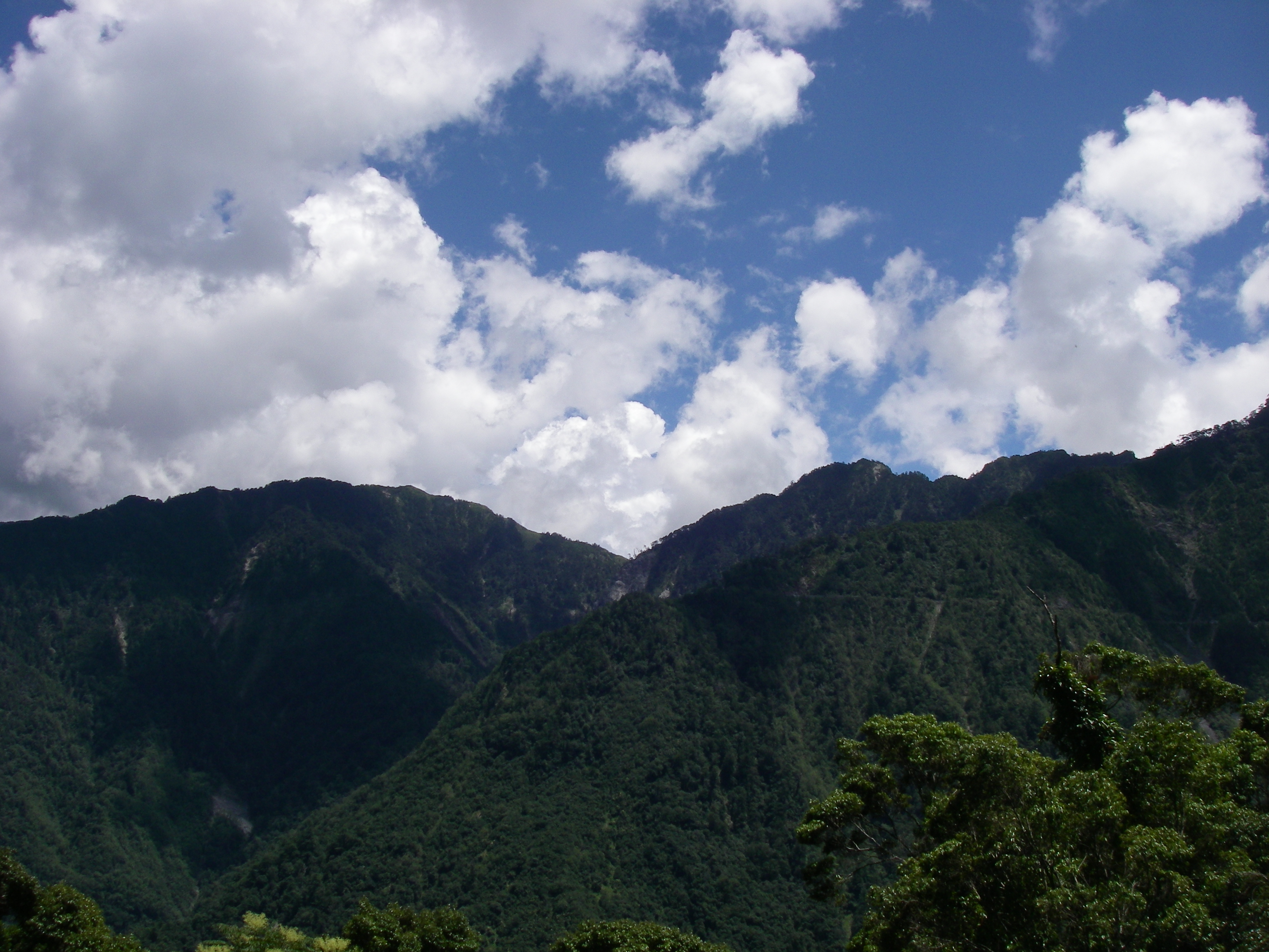
南橫梅山遊客中心 View at MeiShan Visitor's Center

花東縱谷
78.南橫東段_0017.jpg

IMG_0590_resize.JPG

Jan01_062.jpg

樟山產業道路2

IMG_0577_resize.JPG

IMG_3288.jpg
Jan01_031.jpg

Jan01_032.jpg
Jan01_049.jpg

IMG_3056.jpg
IMG_0558_resize.JPG

IMG_3024.jpg

IMGP3031.JPG

Jan01_025.jpg

Jan01_071.jpg

PC064185.JPG

Jan01_051.jpg

IMG_0653_resize.JPG
IMGP2994.JPG

Jan01_063.jpg

IMG_3289.jpg
Topographic Map of No., Nanbu Cross-island Hwy, Taoyuan District, Kaohsiung City, Taiwan
Find elevation by address:

Places near No., Nanbu Cross-island Hwy, Taoyuan District, Kaohsiung City, Taiwan:
拉芙蘭里
Taoyuan District
Namaxia District
瑪雅里
50-1
Taiwan, Kaohsiung City, Namaxia District, 平和巷號
新美村
茶山村
Taiwan, Chiayi County, Alishan Township, 鄉茶山村3鄰茶57號
Taiwan, Chiayi County, Alishan Township, 43
Taiwan, Chiayi County, Alishan Township, 89
新美
Taiwan, Chiayi County, Alishan Township
寶來里
No. 26, Xinmei Industry Rd, Alishan Township, Chiayi County, Taiwan
Taiwan, Kaohsiung City, Liugui District, 高鄉道26號
Taiwan, Chiayi County, Alishan Township
山美村
Alishan Township
No. 70, Nanbu Cross-island Hwy, Liugui District, Kaohsiung City, Taiwan
Recent Searches:
- Elevation of East W.T. Harris Boulevard, E W.T. Harris Blvd, Charlotte, NC, USA
- Elevation of West Sugar Creek, Charlotte, NC, USA
- Elevation of Wayland, NY, USA
- Elevation of Steadfast Ct, Daphne, AL, USA
- Elevation of Lagasgasan, X+CQH, Tiaong, Quezon, Philippines
- Elevation of Rojo Ct, Atascadero, CA, USA
- Elevation of Flagstaff Drive, Flagstaff Dr, North Carolina, USA
- Elevation of Avery Ln, Lakeland, FL, USA
- Elevation of Woolwine, VA, USA
- Elevation of Lumagwas Diversified Farmers Multi-Purpose Cooperative, Lumagwas, Adtuyon, RV32+MH7, Pangantucan, Bukidnon, Philippines