Elevation of No., Lianfeng Rd, Dapi Township, Yunlin County, Taiwan
Location: Taiwan > Yunlin County > Dapi Township > 聯美村 >
Longitude: 120.397146
Latitude: 23.65026
Elevation: 21m / 69feet
Barometric Pressure: 101KPa
Elevation Map:
Satellite Map:
Related Photos:

Chiayi night view|太保 南亞

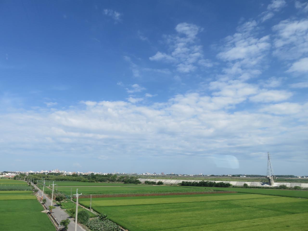
View From THSR Window
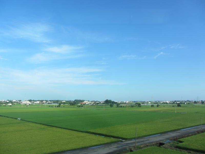
View From THSR Window

View From THSR Window

View From THSR Window
View From THSR Window
View From THSR Window
View From THSR Window
View From THSR Window

View From THSR Window
View From THSR Window
View From THSR Window
View From THSR Window
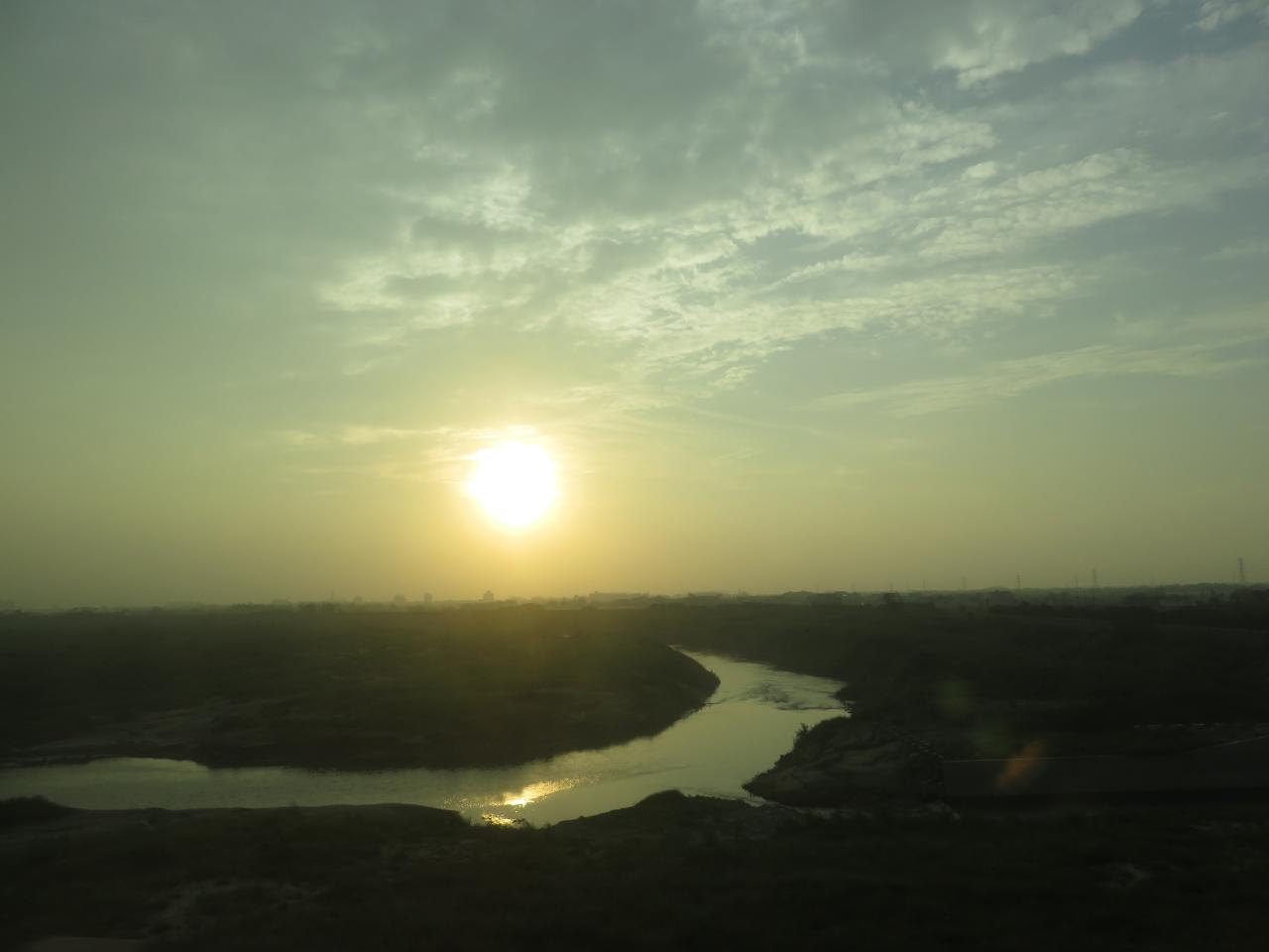
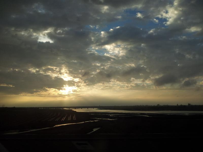
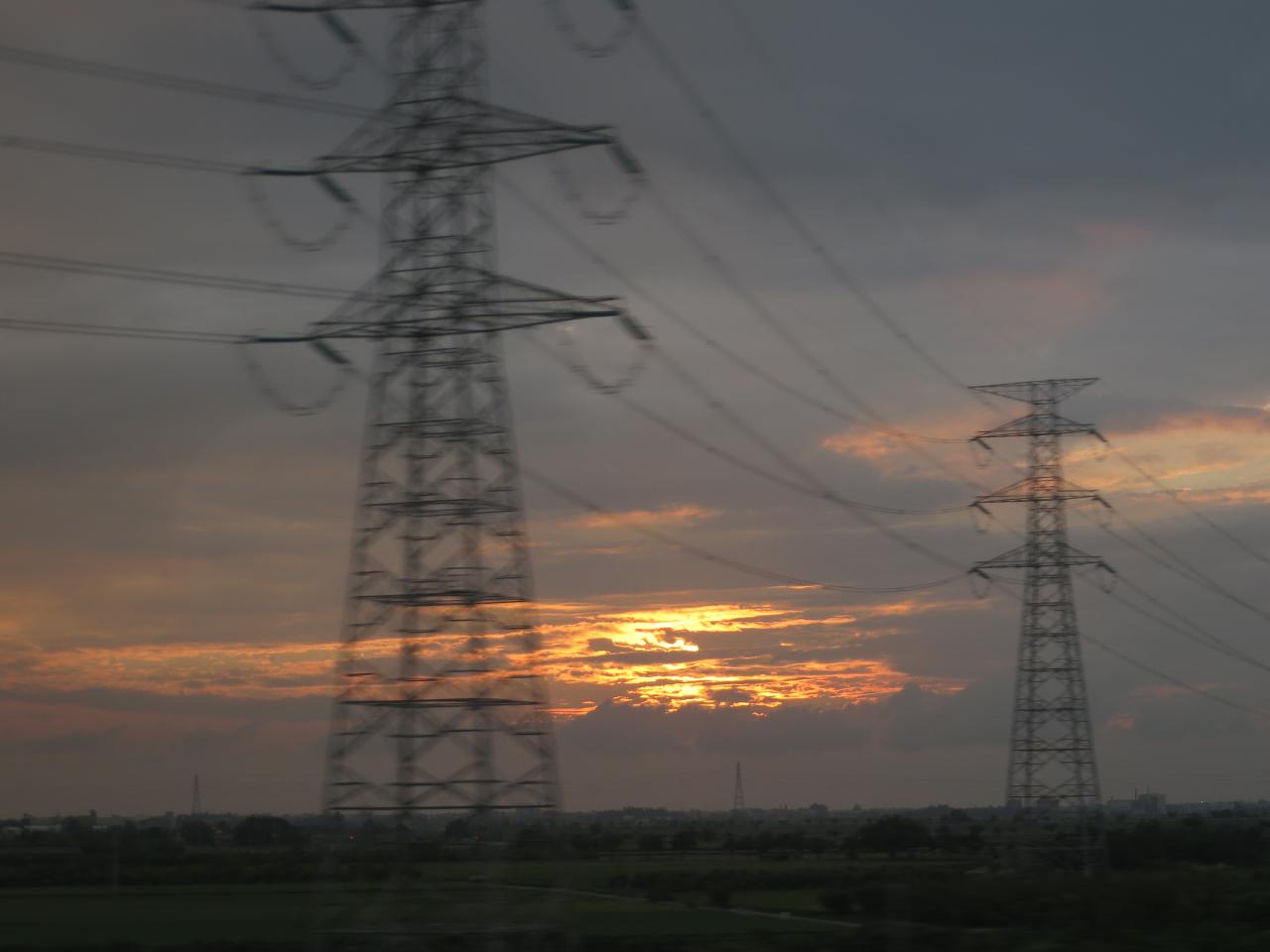
Sunset (View From THSR Window)

View From THSR Window

View From THSR Window

View From THSR Window
View From THSR Window

View From THSR Window

View From THSR Window
View From THSR Window

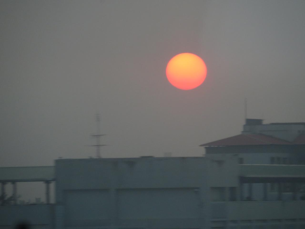
老家附近‧夕陽

風和日麗

IMG_3022.jpg
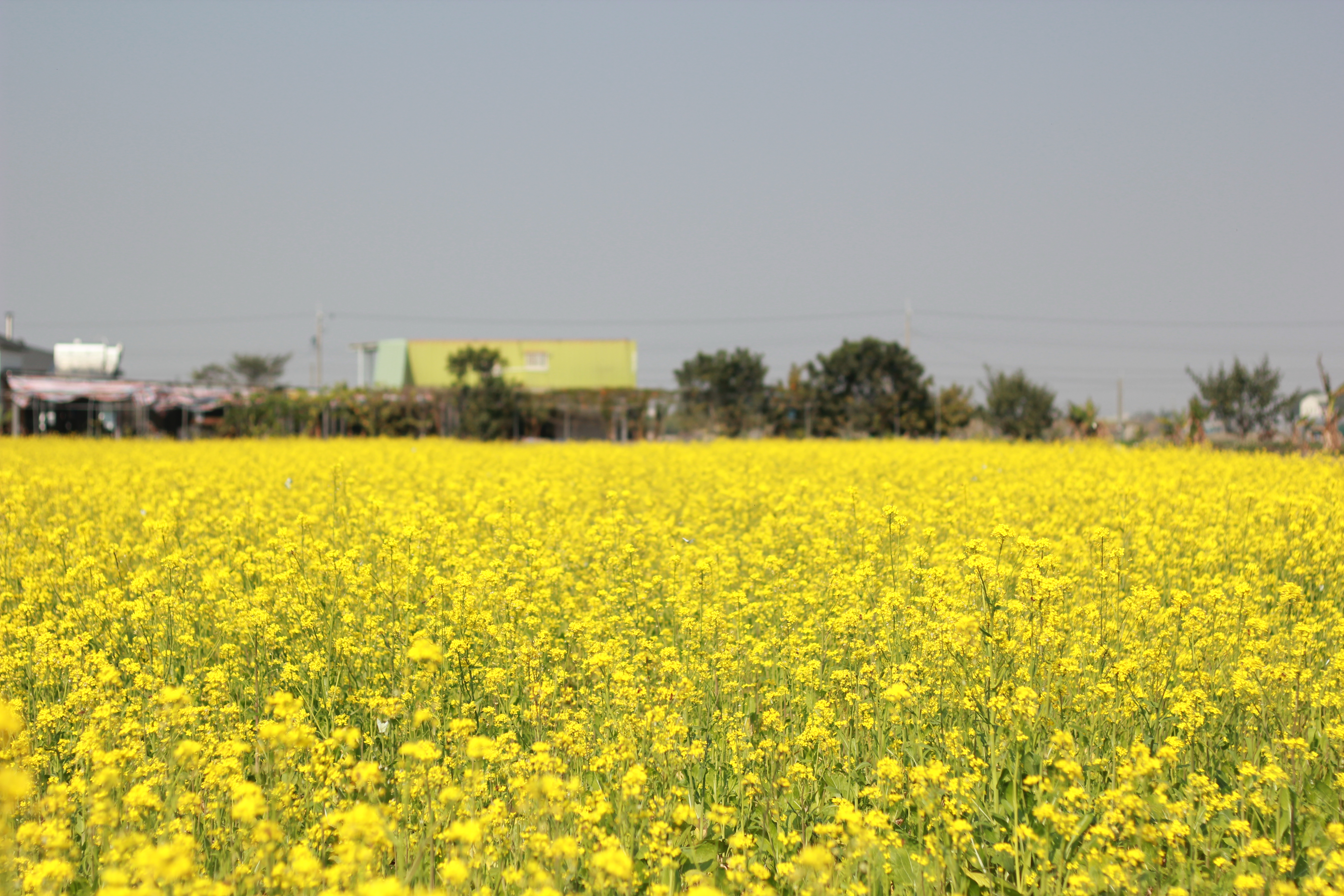
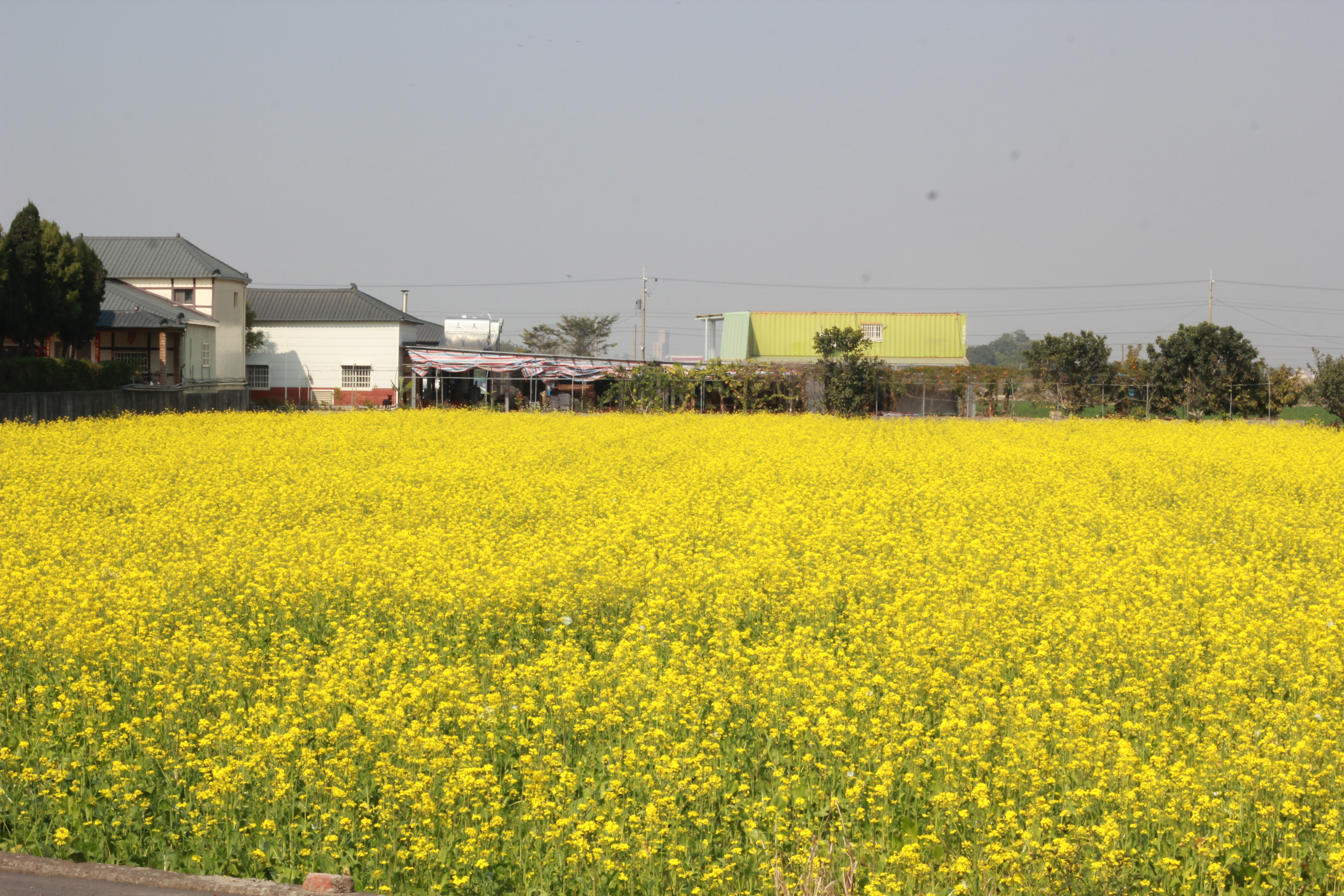
新港油菜花田20140101_IMG_2049_18

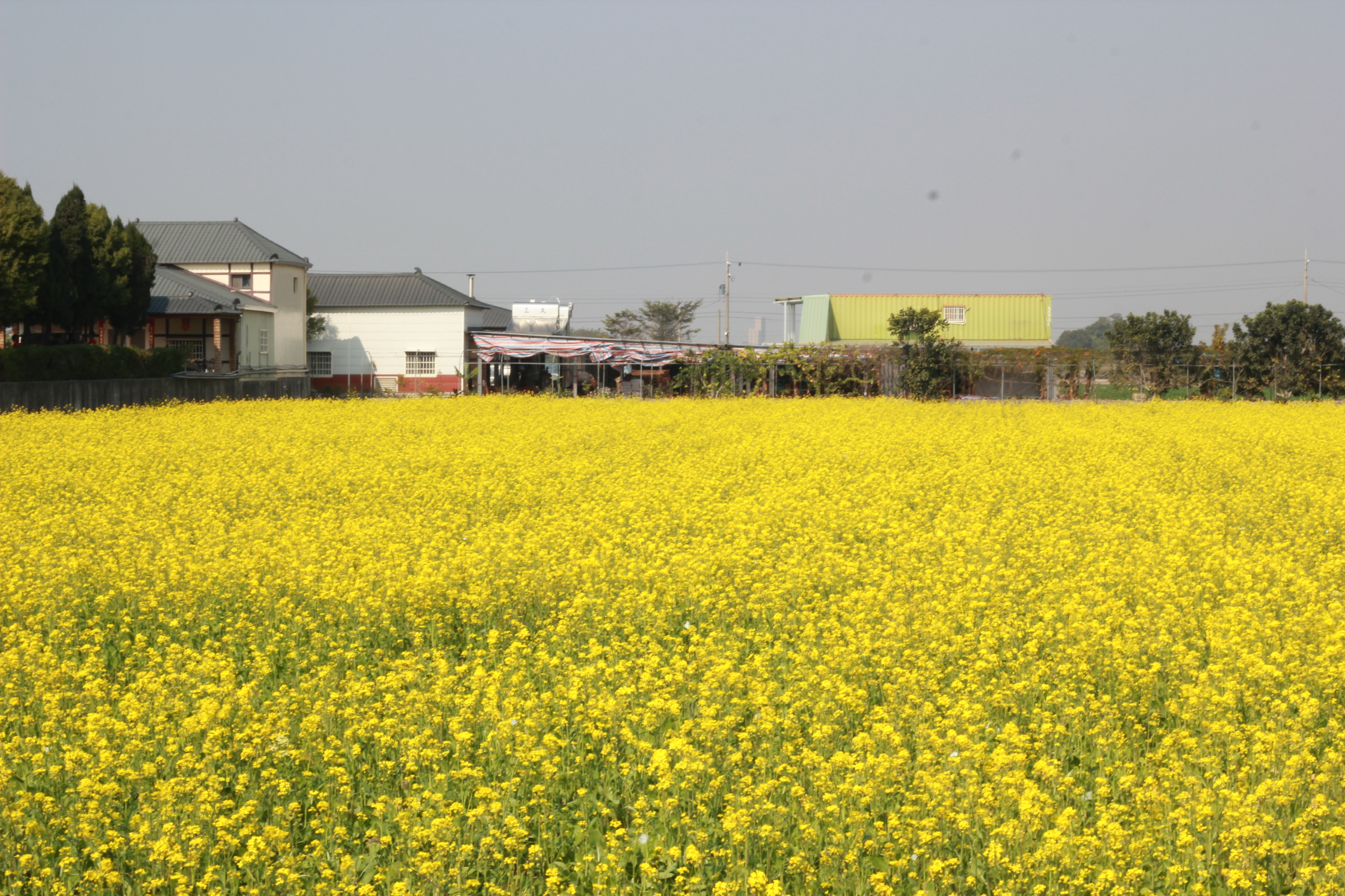
新港油菜花田20140101_IMG_2109_138
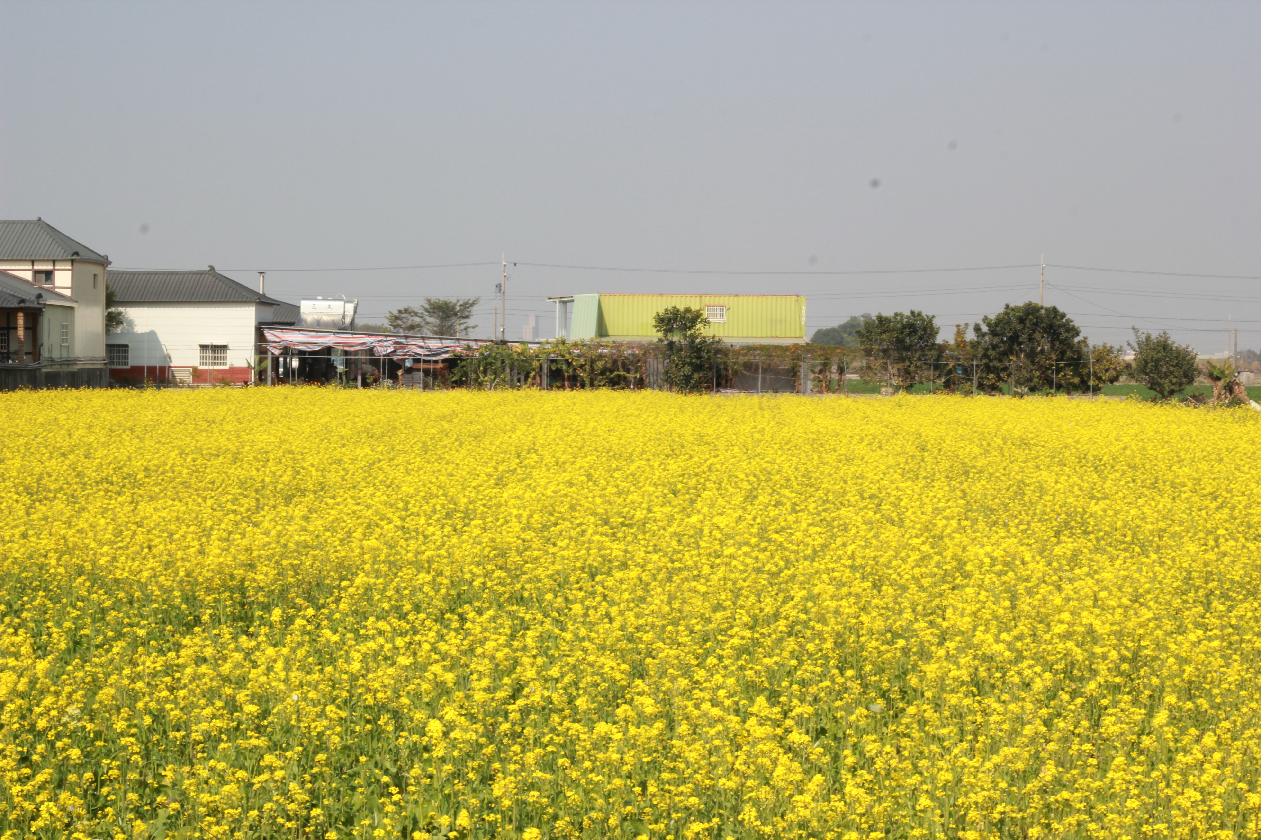
新港油菜花田20140101_IMG_2110_140

新港油菜花田20140101_IMG_2095_110
新港油菜花田20140101_IMG_2115_150
新港油菜花田20140101_IMG_2114_148

Camera Roll-38
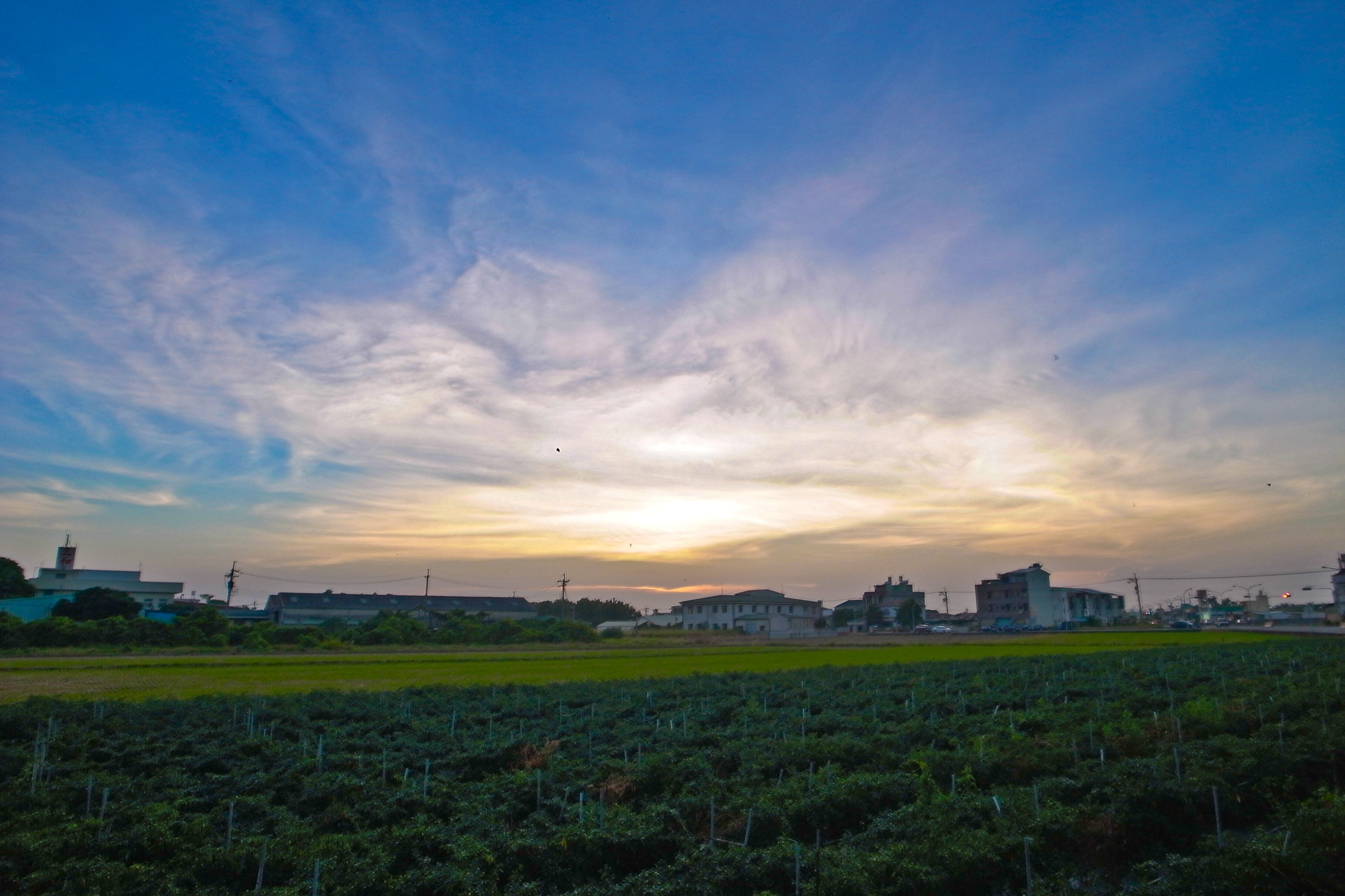
Waiting for Sunset

Camera Roll-37
Photos-110
2012-04-27 18.08.43

2011/10/3-34
新港油菜花田20140101_IMG_2041_02
Camera Roll-44

IMG_9851.JPG
Topographic Map of No., Lianfeng Rd, Dapi Township, Yunlin County, Taiwan
Find elevation by address:

Places near No., Lianfeng Rd, Dapi Township, Yunlin County, Taiwan:
聯美村
溪邊里
鹿北村
Taiwan, Yunlin County, Tuku Township, 雲95鄉道20號
No. 22, Wenhua Rd, Tuku Township, Yunlin County, Taiwan
44-1
Dapi Township
宮北里
大德村
No., Zhongshan Rd, Tuku Township, Yunlin County, Taiwan
游東村
27-1
新街
Taiwan, Yunlin County, Dapi Township, 20
1-9
延平里
奮起里
新崙里
三結村
新吉村
Recent Searches:
- Elevation of Lampiasi St, Sarasota, FL, USA
- Elevation of Elwyn Dr, Roanoke Rapids, NC, USA
- Elevation of Congressional Dr, Stevensville, MD, USA
- Elevation of Bellview Rd, McLean, VA, USA
- Elevation of Stage Island Rd, Chatham, MA, USA
- Elevation of Shibuya Scramble Crossing, 21 Udagawacho, Shibuya City, Tokyo -, Japan
- Elevation of Jadagoniai, Kaunas District Municipality, Lithuania
- Elevation of Pagonija rock, Kranto 7-oji g. 8"N, Kaunas, Lithuania
- Elevation of Co Rd 87, Jamestown, CO, USA
- Elevation of Tenjo, Cundinamarca, Colombia