Elevation of No., Dashe Rd, Luzhu District, Kaohsiung City, Taiwan
Location: Taiwan > Kaohsiung City > Luzhu District > 社中里 >
Longitude: 120.267953
Latitude: 22.8662304
Elevation: 25m / 82feet
Barometric Pressure: 101KPa
Elevation Map:
Satellite Map:
Related Photos:

20150206-DSC04186
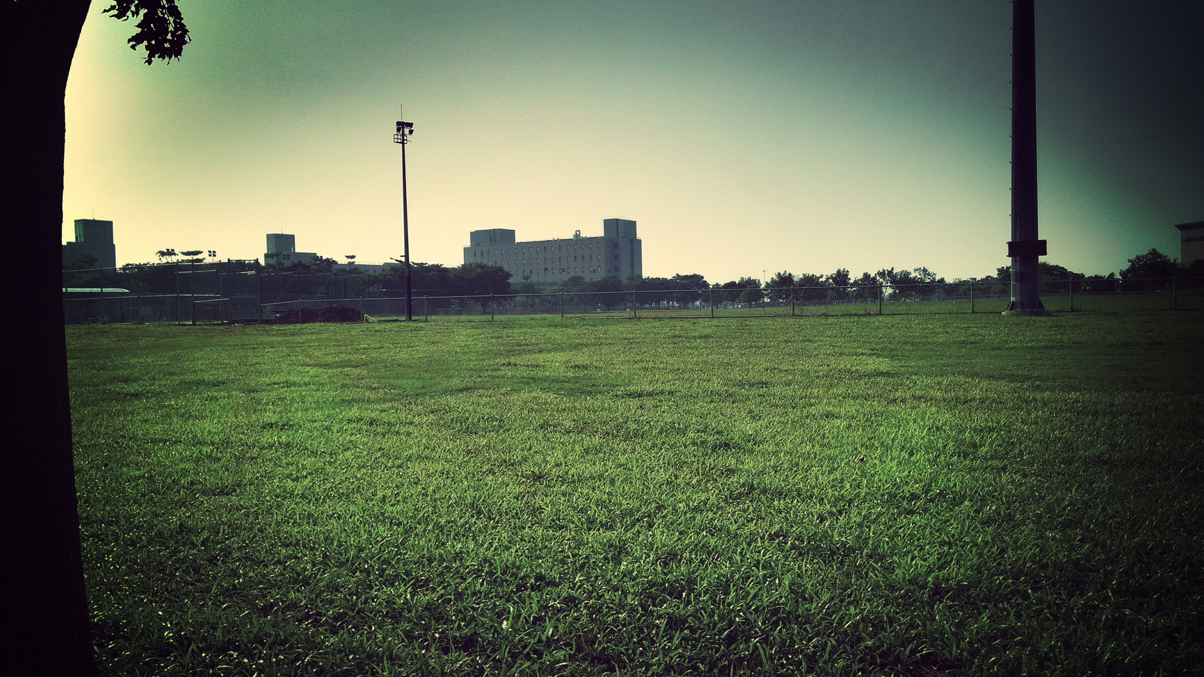
高大 壘球場

#Gangshan my hometown

20150206-DSC04194

"Gotcha"

Chimei museum / 奇美博物館

晚安、安平
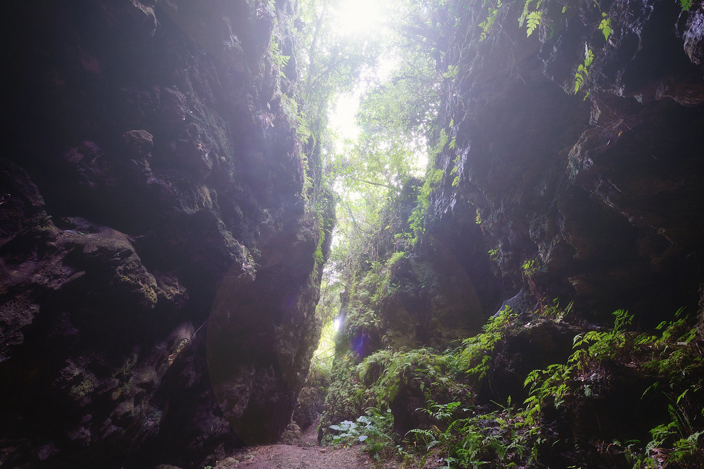
盤龍峽谷
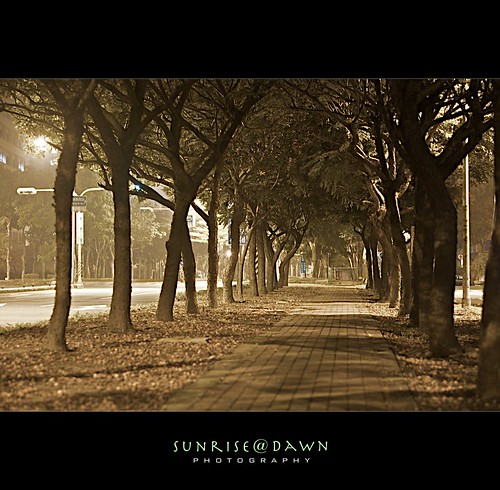
Midnight Bikepath 02 (Explore Oct 23, 2009 #209)
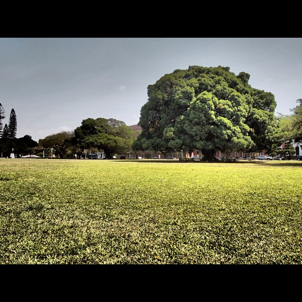
榕

鑽灰蝶 三尾小灰蝶
巴克禮公園

IMG_1248.

紅樹林保護區

黃金海岸
Topographic Map of No., Dashe Rd, Luzhu District, Kaohsiung City, Taiwan
Find elevation by address:

Places near No., Dashe Rd, Luzhu District, Kaohsiung City, Taiwan:
社中里
竹東里
No., Pingdeng St, Luzhu District, Kaohsiung City, Taiwan
No. 26, Yonghua Rd, Luzhu District, Kaohsiung City, Taiwan
甲北里
No. 22, Lane, Taiping Rd, Luzhu District, Kaohsiung City, Taiwan
下坑里
大湖里
Taiwan, Kaohsiung City, Alian District, 高12鄉道74號
No., Minquan Rd, Hunei District, Kaohsiung City, Taiwan
中路里
港後里
No. 17, Datan 2nd St, Guiren District, Tainan City, Taiwan
Taiwan, Kaohsiung City, Alian District, 高9鄉道50號
No. 23, Lane, Section 2, Changrong Rd, Guiren District, Tainan City, Taiwan
大潭里
Taiwan, Kaohsiung City, Alian District, 高12鄉道號
武東里
青旗里
崗山里
Recent Searches:
- Elevation of Vista Blvd, Sparks, NV, USA
- Elevation of 15th Ave SE, St. Petersburg, FL, USA
- Elevation of Beall Road, Beall Rd, Florida, USA
- Elevation of Leguwa, Nepal
- Elevation of County Rd, Enterprise, AL, USA
- Elevation of Kolchuginsky District, Vladimir Oblast, Russia
- Elevation of Shustino, Vladimir Oblast, Russia
- Elevation of Lampiasi St, Sarasota, FL, USA
- Elevation of Elwyn Dr, Roanoke Rapids, NC, USA
- Elevation of Congressional Dr, Stevensville, MD, USA