Elevation of No. 50-1, Shangbaolai Industry Rd, Taoyuan District, Kaohsiung City, Taiwan
Location: Taiwan > Kaohsiung City > Taoyuan District >
Longitude: 120.765965
Latitude: 23.1603127
Elevation: 625m / 2051feet
Barometric Pressure: 94KPa
Elevation Map:
Satellite Map:
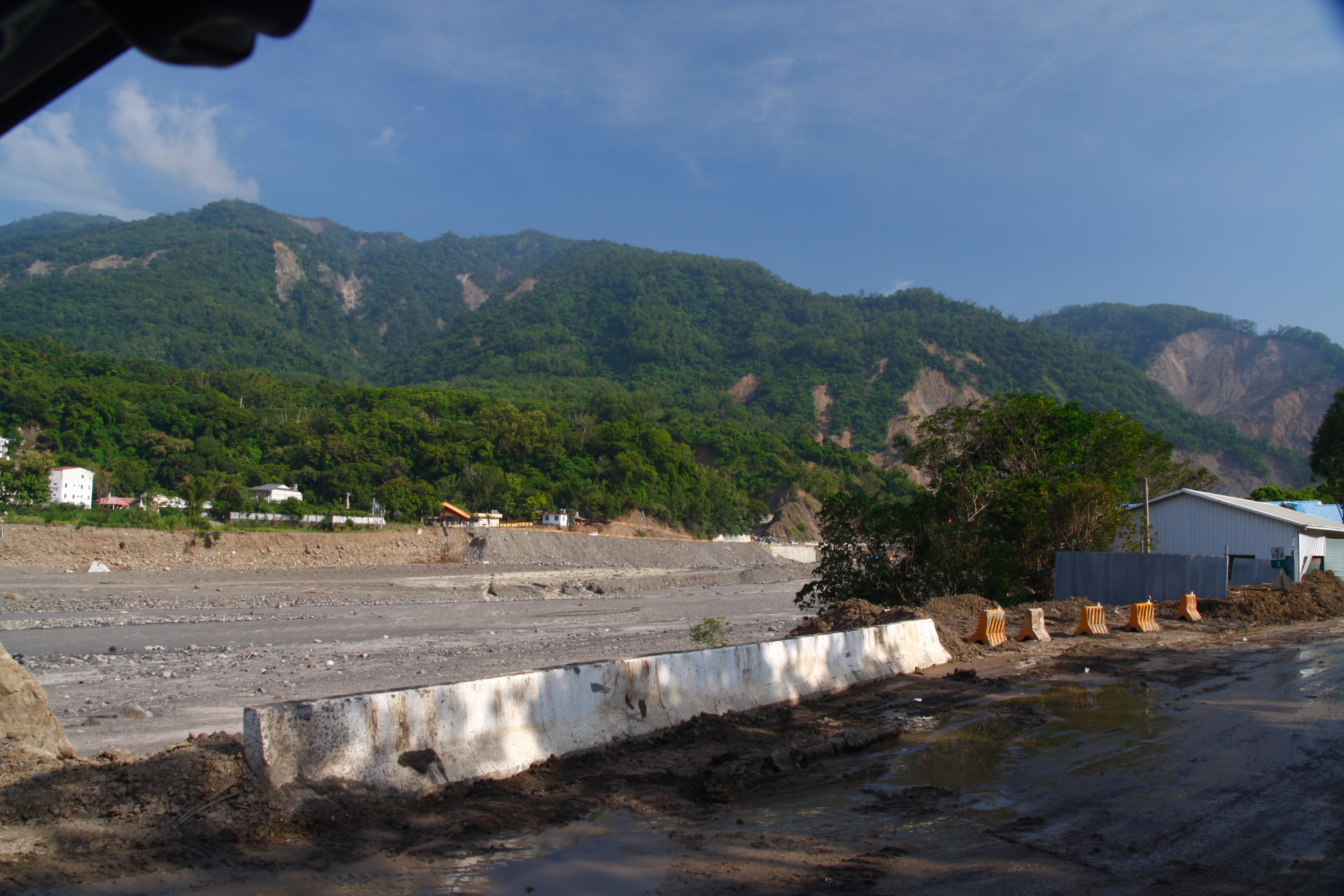
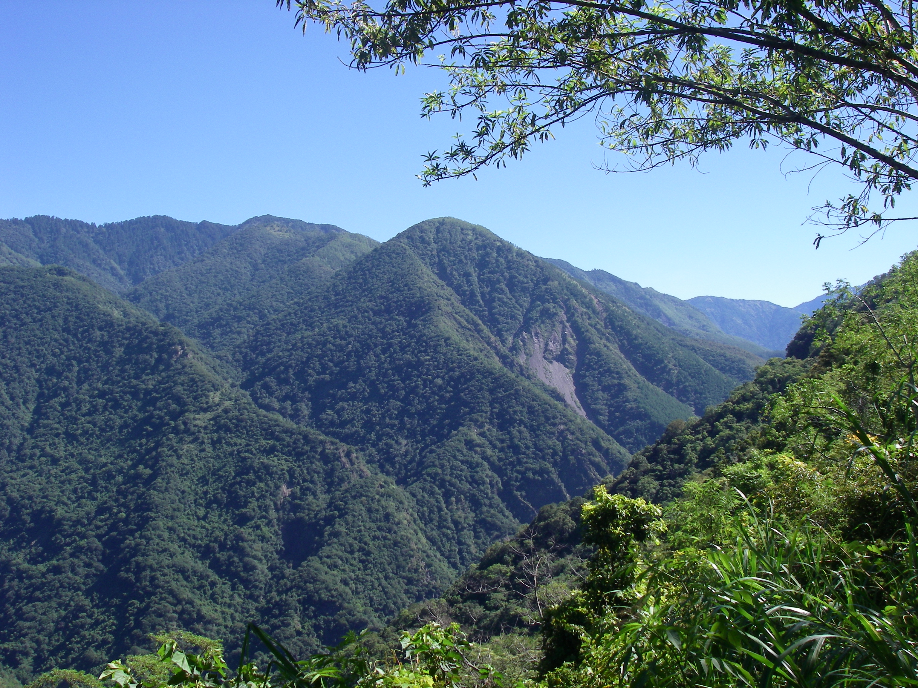
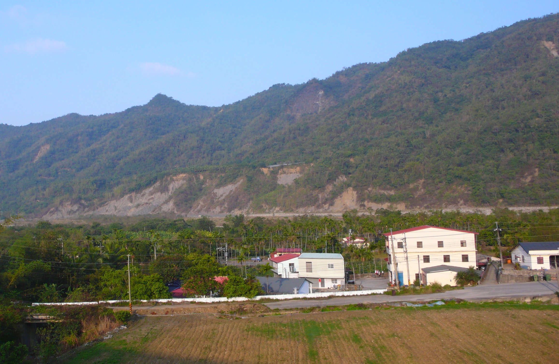
Related Photos:

南橫梅山遊客中心 View at MeiShan Visitor's Center
樟山產業道路2

六龜

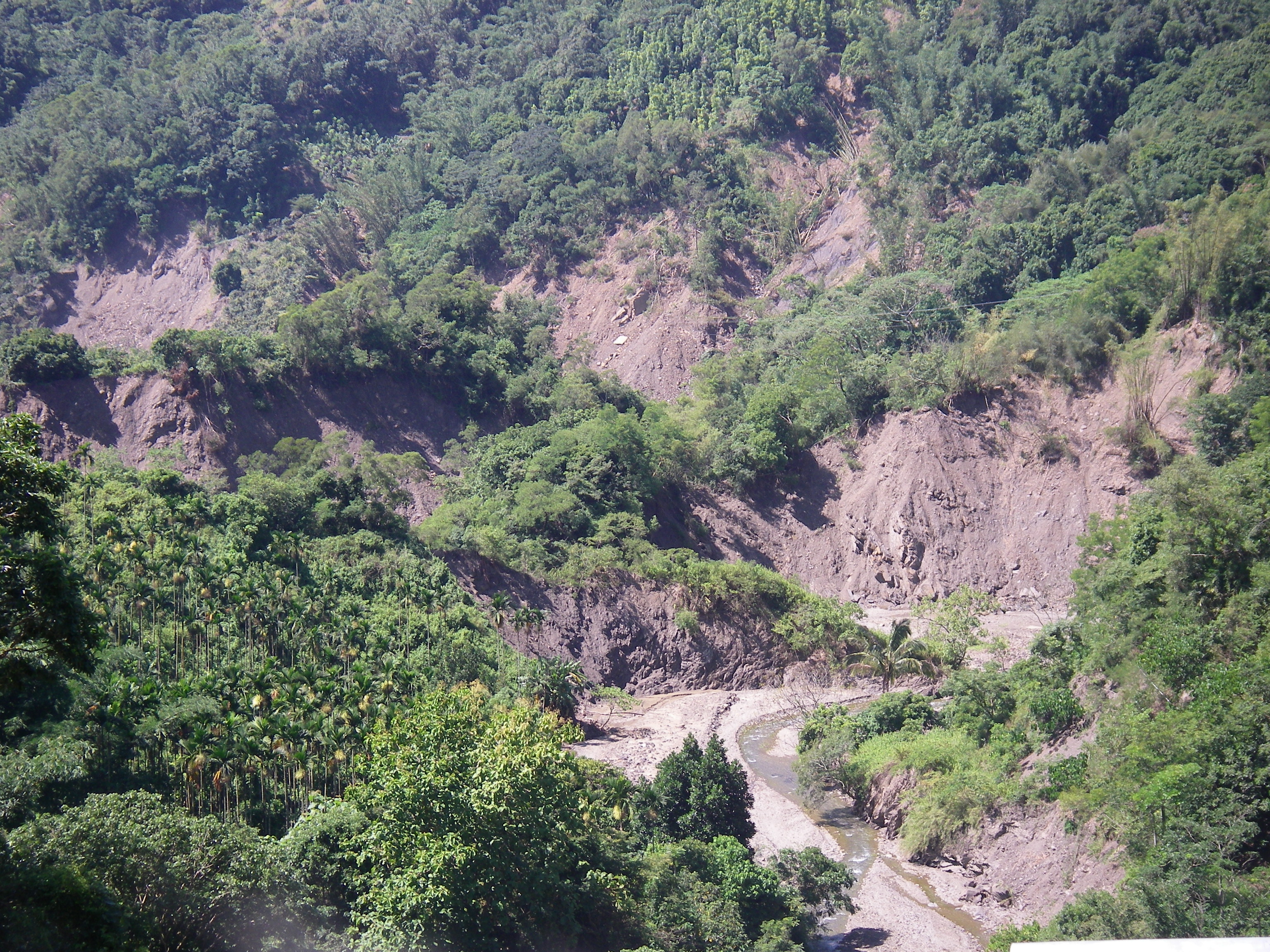
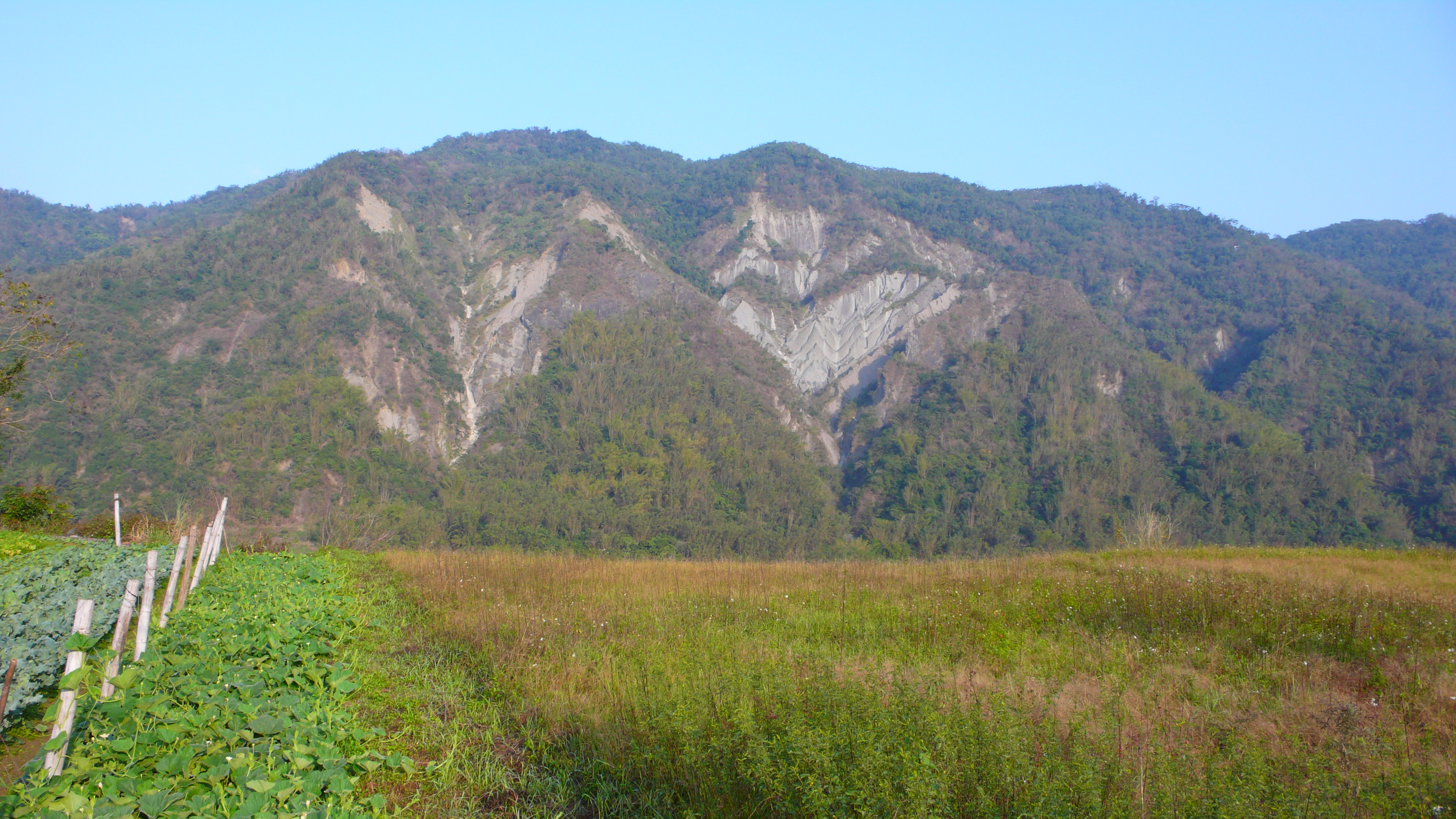
五里埔西側山壁

IMGP2919.JPG
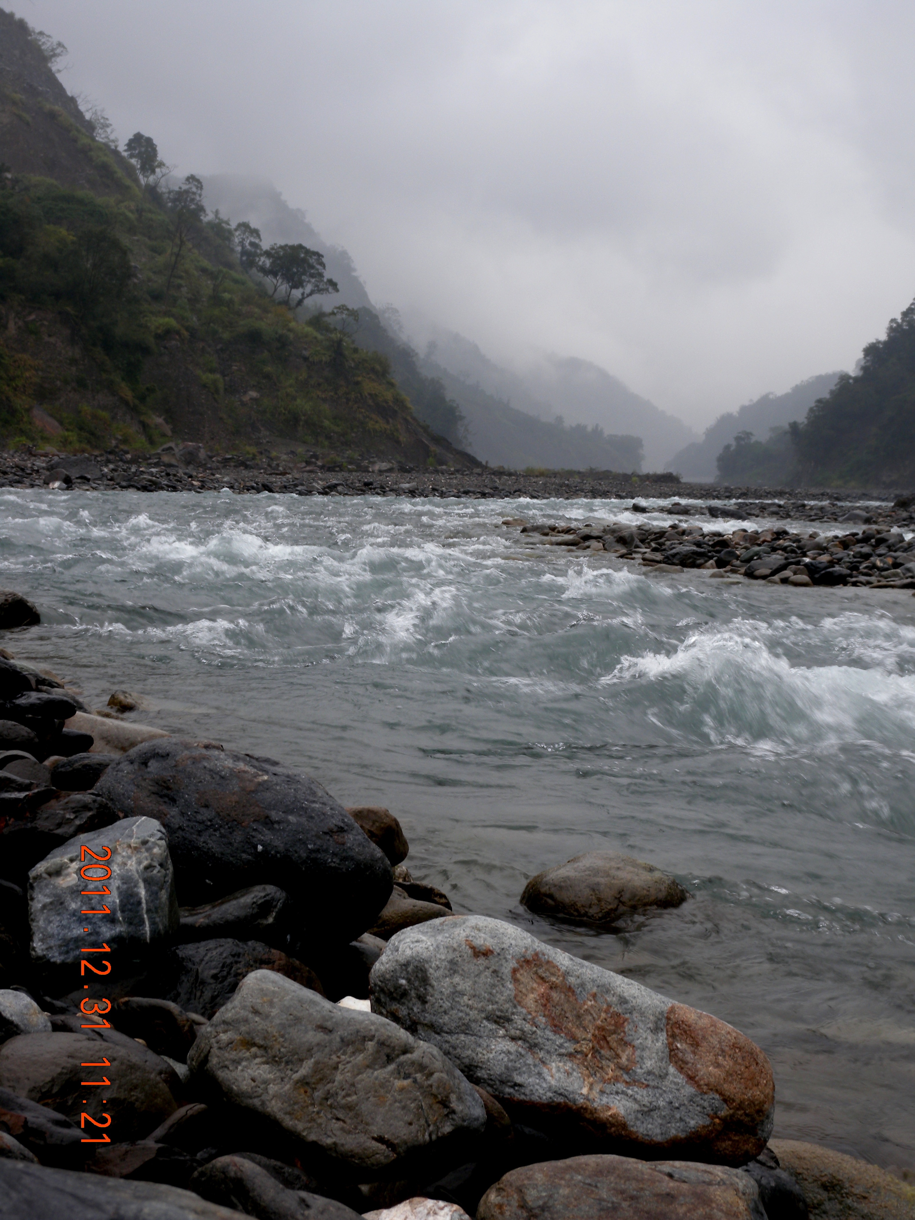
楠梓仙溪
楠梓仙溪
IMGP2924.JPG

IMGP2879.JPG
IMGP2768.JPG

DSC_5351.jpg

DSC_5246.jpg
那瑪夏鄉
五里埔
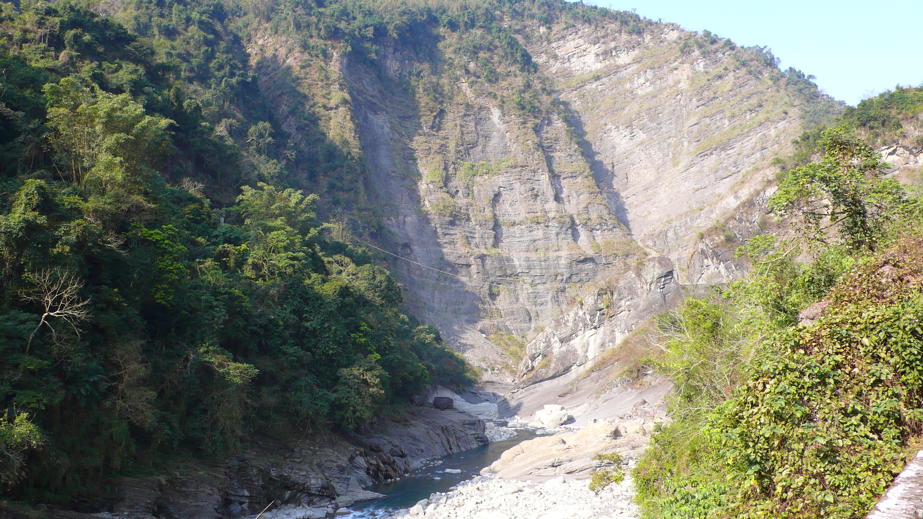
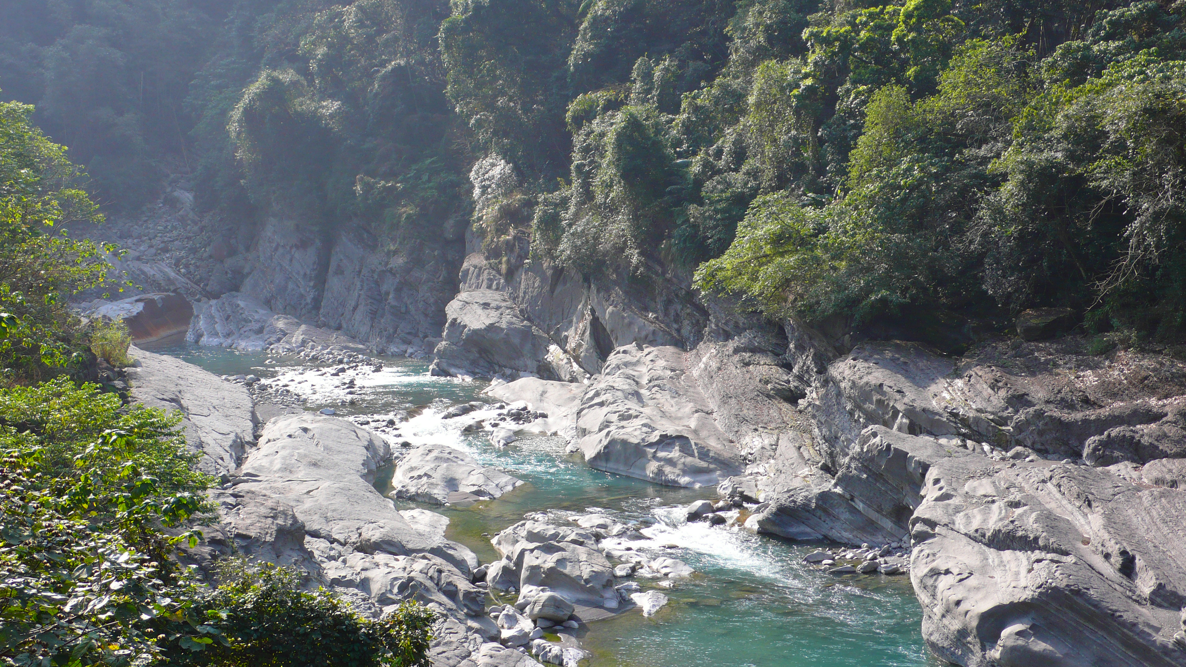
世紀大峽谷

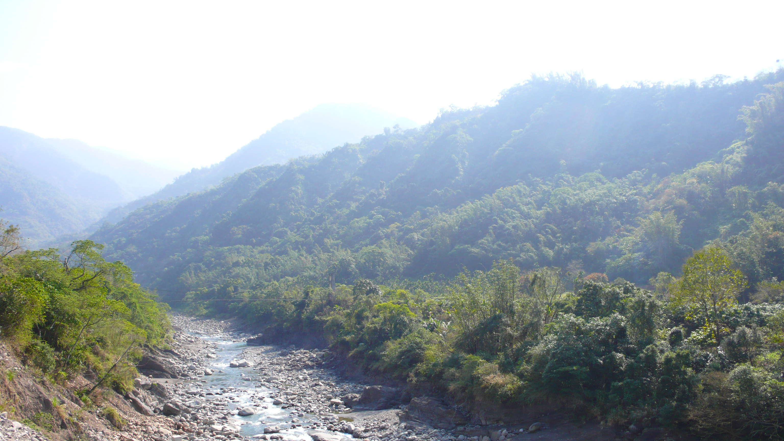
楠梓仙溪
_MG_4876.JPG
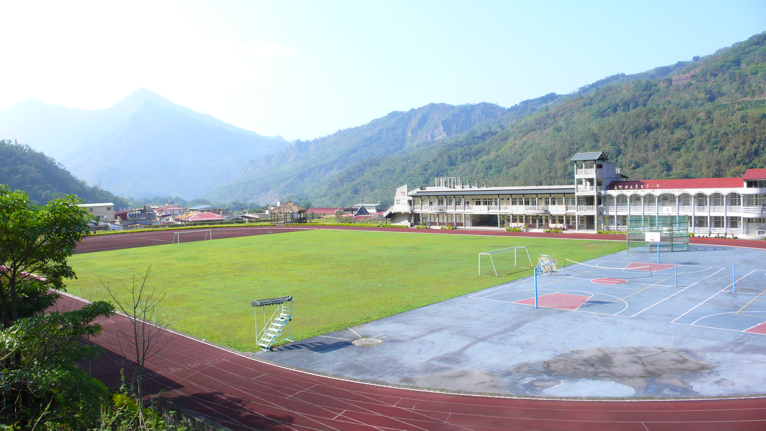
三民國中
IMGP2937.JPG
台21線 南光
台21線路旁耕地
Topographic Map of No. 50-1, Shangbaolai Industry Rd, Taoyuan District, Kaohsiung City, Taiwan
Find elevation by address:

Places near No. 50-1, Shangbaolai Industry Rd, Taoyuan District, Kaohsiung City, Taiwan:
寶來里
Taiwan, Kaohsiung City, Liugui District, 高鄉道26號
No., Nanbu Cross-island Hwy, Taoyuan District, Kaohsiung City, Taiwan
瑪雅里
Taiwan, Kaohsiung City, Namaxia District, 平和巷號
Taoyuan District
拉芙蘭里
No. 70, Nanbu Cross-island Hwy, Liugui District, Kaohsiung City, Taiwan
Namaxia District
新發里
No. 34, Xinkai Rd, Liugui District, Kaohsiung City, Taiwan
Jiaxian District
No. 48, Xinfa Rd, Liugui District, Kaohsiung City, Taiwan
荖濃里
關山里
No. 16, Xinfa Rd, Liugui District, Kaohsiung City, Taiwan
No. 3, Lane 44, Zhongxing Rd, Jiaxian District, Kaohsiung City, Taiwan
No. 35, Heping Rd, Liugui District, Kaohsiung City, Taiwan
Taiwan, Chiayi County, Alishan Township, 鄉茶山村3鄰茶57號
新美村
Recent Searches:
- Elevation of Unnamed Road, Respublika Severnaya Osetiya — Alaniya, Russia
- Elevation of Verkhny Fiagdon, North Ossetia–Alania Republic, Russia
- Elevation of F. Viola Hiway, San Rafael, Bulacan, Philippines
- Elevation of Herbage Dr, Gulfport, MS, USA
- Elevation of Lilac Cir, Haldimand, ON N3W 2G9, Canada
- Elevation of Harrod Branch Road, Harrod Branch Rd, Kentucky, USA
- Elevation of Wyndham Grand Barbados Sam Lords Castle All Inclusive Resort, End of Belair Road, Long Bay, Bridgetown Barbados
- Elevation of Iga Trl, Maggie Valley, NC, USA
- Elevation of N Co Rd 31D, Loveland, CO, USA
- Elevation of Lindever Ln, Palmetto, FL, USA