Elevation of No. 3, Lane 44, Zhongxing Rd, Jiaxian District, Kaohsiung City, Taiwan
Location: Taiwan > Kaohsiung City > Jiaxian District > 關山里 >
Longitude: 120.606277
Latitude: 23.112317
Elevation: 365m / 1198feet
Barometric Pressure: 97KPa
Elevation Map:
Satellite Map:
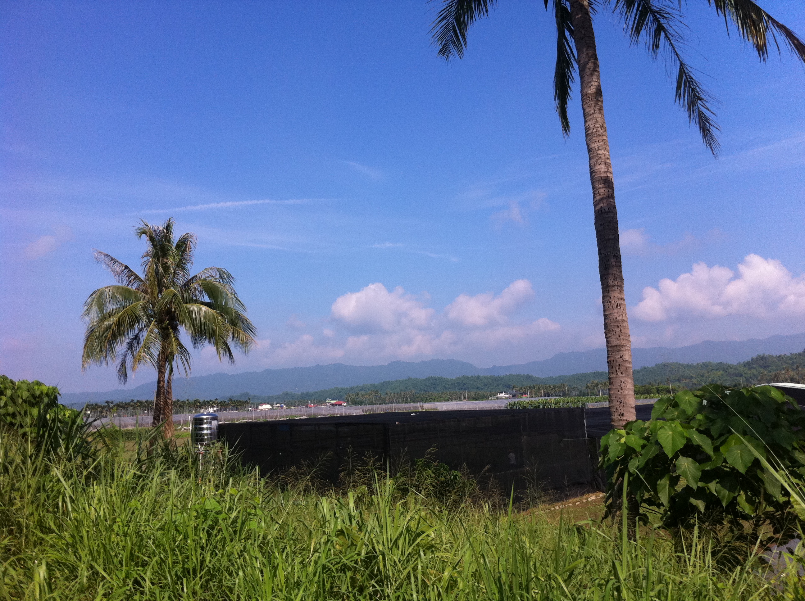
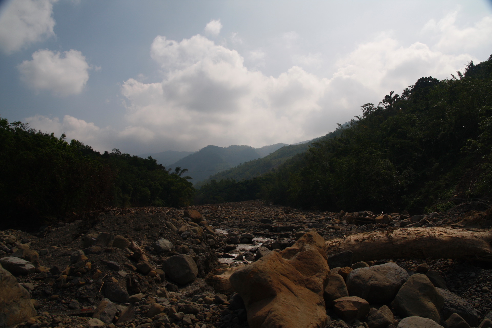
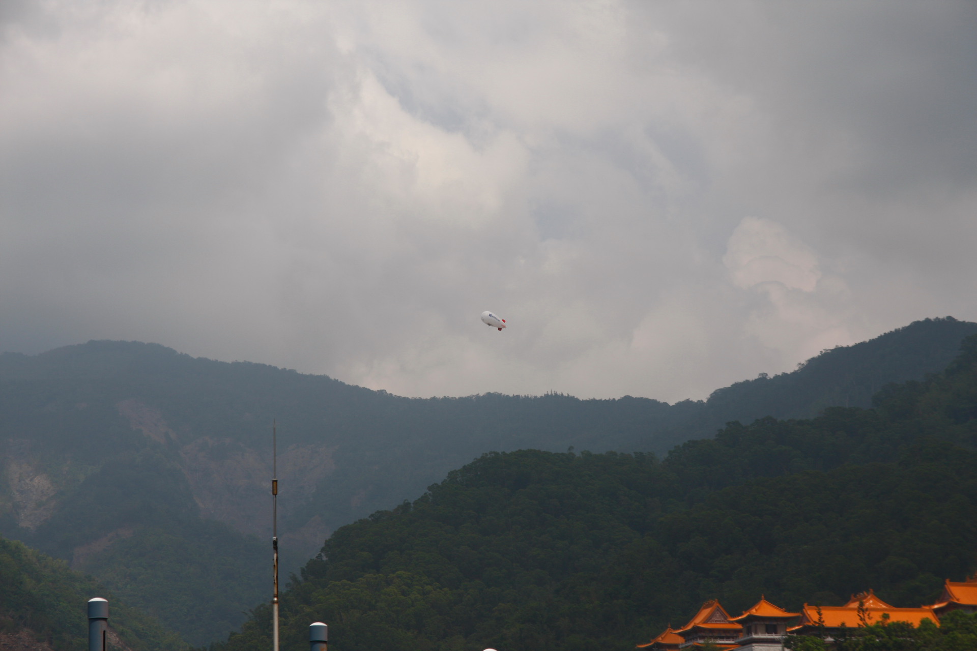
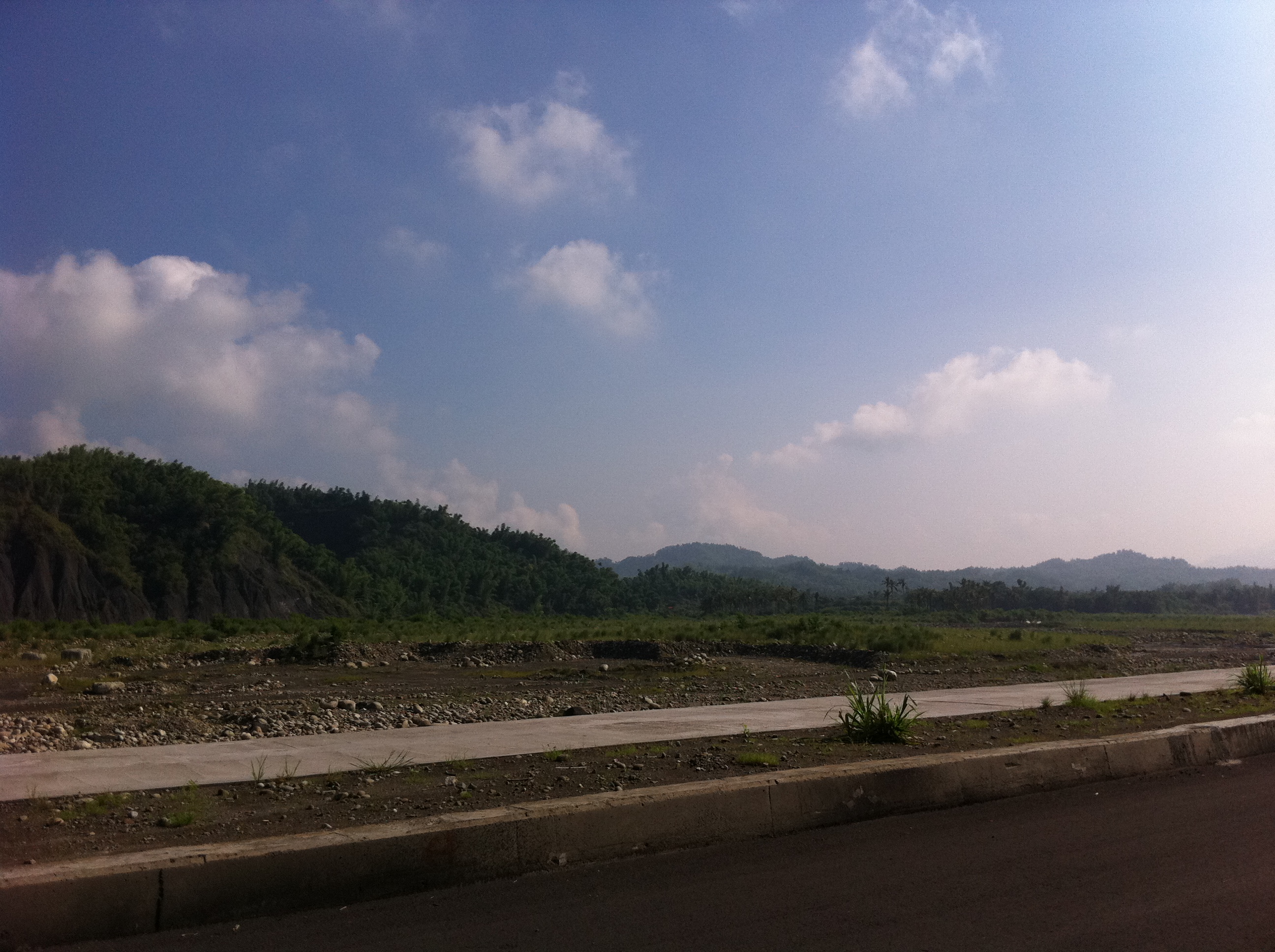
Related Photos:

Hot Rolling

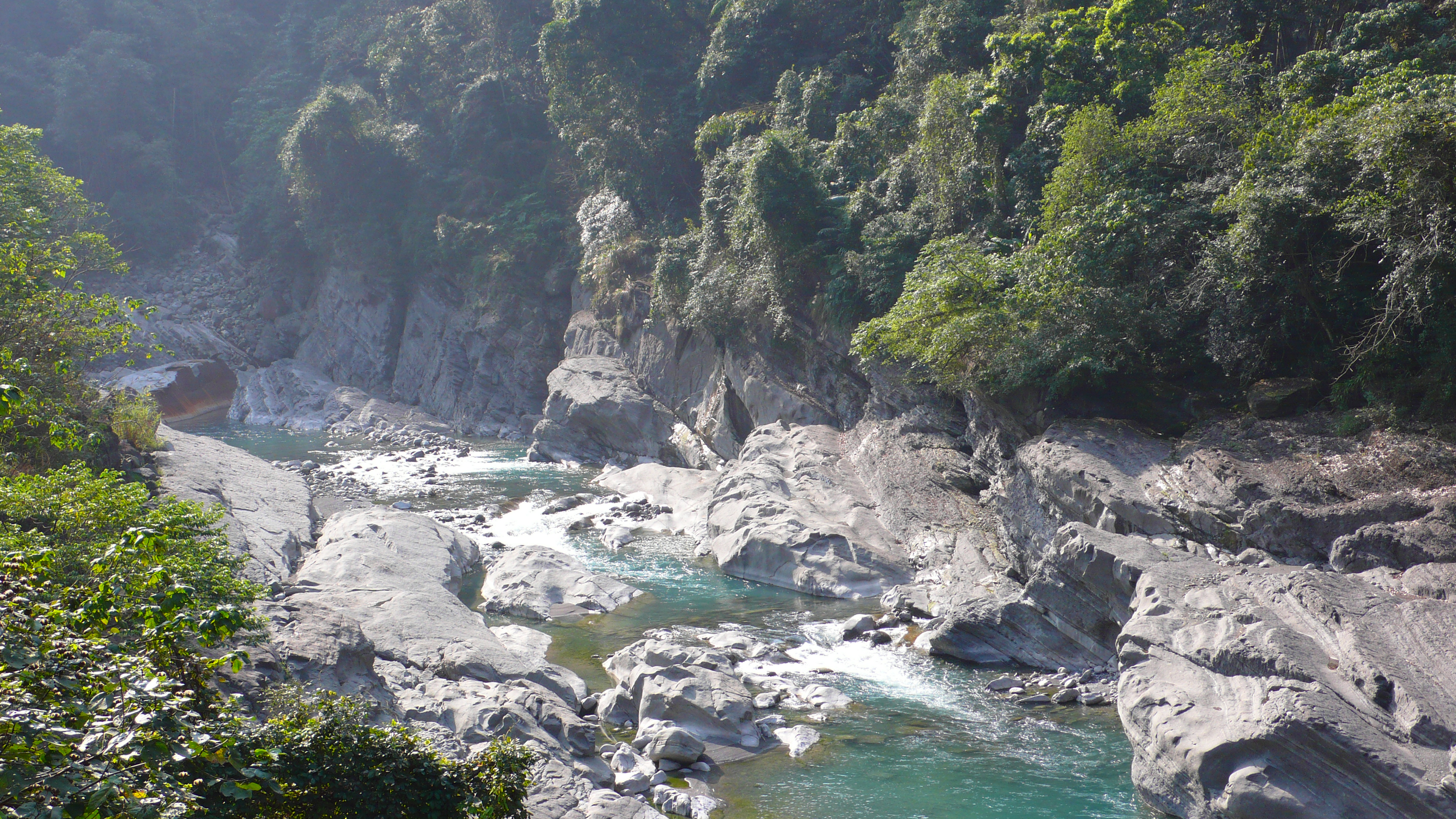
南化大地谷
龜單溫泉
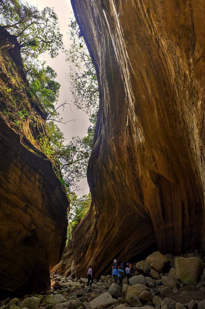
南化大地谷

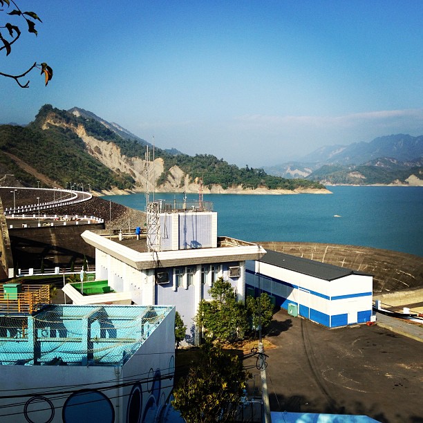
南化水庫, Nanhua Reservoir
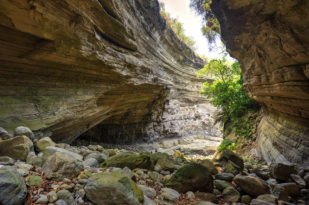
南化大地谷

C360_2014-06-25-09-56-10-671
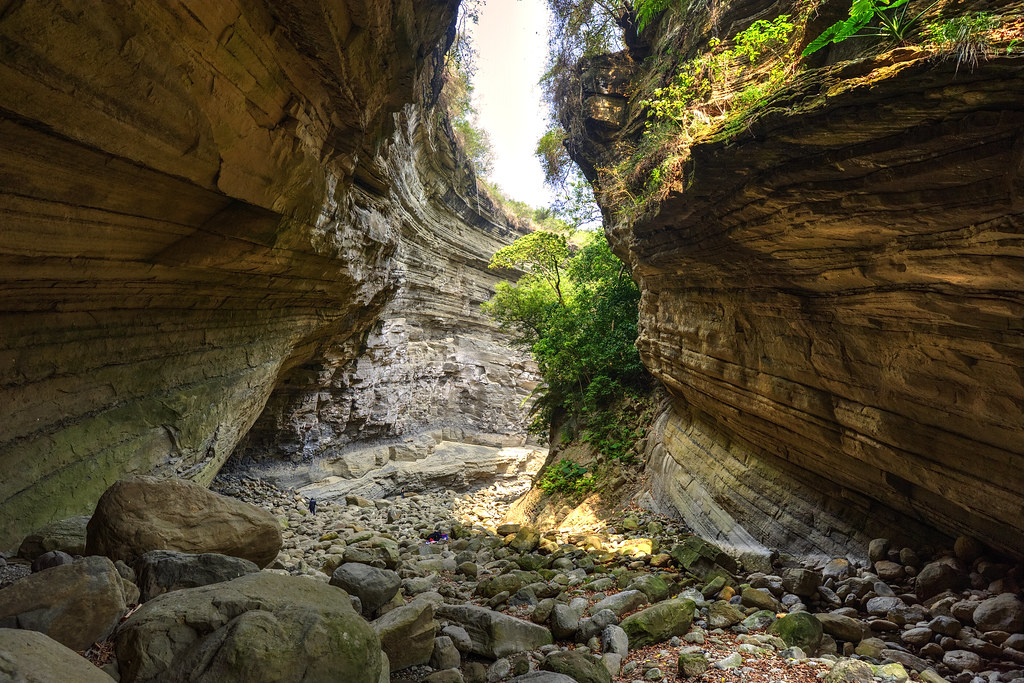
南化大地谷
碧水青天之南化水庫!

六龜
IMG_1644.jpg
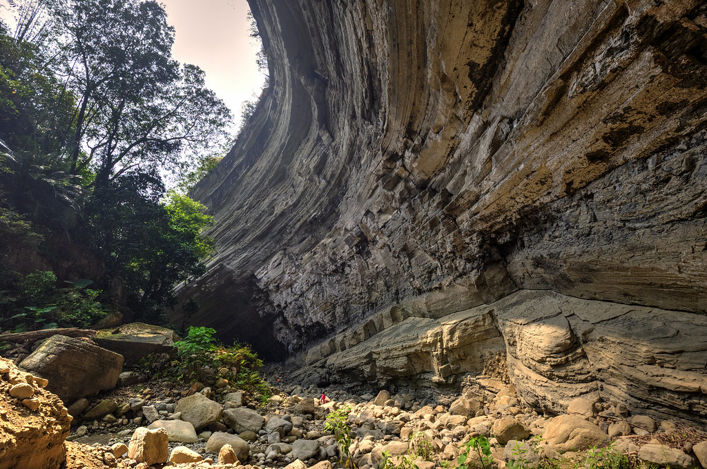
南化大地谷

IMG_1624.jpg
IMG_1623.jpg
IMG_1655.jpg
_MG_4757.JPG
_MG_4951.JPG

五里埔西側山壁
IMG_1627.jpg
楠梓仙溪
IMG_1650.jpg

豔麗晚霞@甲仙
Topographic Map of No. 3, Lane 44, Zhongxing Rd, Jiaxian District, Kaohsiung City, Taiwan
Find elevation by address:

Places near No. 3, Lane 44, Zhongxing Rd, Jiaxian District, Kaohsiung City, Taiwan:
關山里
Jiaxian District
Nanhua District
No., Guanshan Industry Rd, Nanhua District, Tainan City, Taiwan
Taiwan, Kaohsiung City, Jiaxian District, 和南巷66號
西安里
南179鄉道179號
大田里
關山里
No. 33, Zhongyuan Rd, Jiaxian District, Kaohsiung City, Taiwan
荖濃里
玉山里
No. 78, Nanbu Cross-island Hwy, Nanhua District, Tainan City, Taiwan
No. 70, Nanbu Cross-island Hwy, Liugui District, Kaohsiung City, Taiwan
No. 48, Xinfa Rd, Liugui District, Kaohsiung City, Taiwan
寶來里
No. 34, Xinkai Rd, Liugui District, Kaohsiung City, Taiwan
No. 16, Xinfa Rd, Liugui District, Kaohsiung City, Taiwan
Taiwan, Kaohsiung City, Liugui District, 高鄉道26號
No. 8, Nanbu Cross-island Hwy, Nanhua District, Tainan City, Taiwan
Recent Searches:
- Elevation of Jalan Senandin, Lutong, Miri, Sarawak, Malaysia
- Elevation of Bilohirs'k
- Elevation of 30 Oak Lawn Dr, Barkhamsted, CT, USA
- Elevation of Luther Road, Luther Rd, Auburn, CA, USA
- Elevation of Unnamed Road, Respublika Severnaya Osetiya — Alaniya, Russia
- Elevation of Verkhny Fiagdon, North Ossetia–Alania Republic, Russia
- Elevation of F. Viola Hiway, San Rafael, Bulacan, Philippines
- Elevation of Herbage Dr, Gulfport, MS, USA
- Elevation of Lilac Cir, Haldimand, ON N3W 2G9, Canada
- Elevation of Harrod Branch Road, Harrod Branch Rd, Kentucky, USA