Elevation of No. 33, Zhongyuan Rd, Jiaxian District, Kaohsiung City, Taiwan
Location: Taiwan > Kaohsiung City > Jiaxian District > 大田里 >
Longitude: 120.566417
Latitude: 23.0596428
Elevation: 225m / 738feet
Barometric Pressure: 99KPa
Elevation Map:
Satellite Map:
Related Photos:
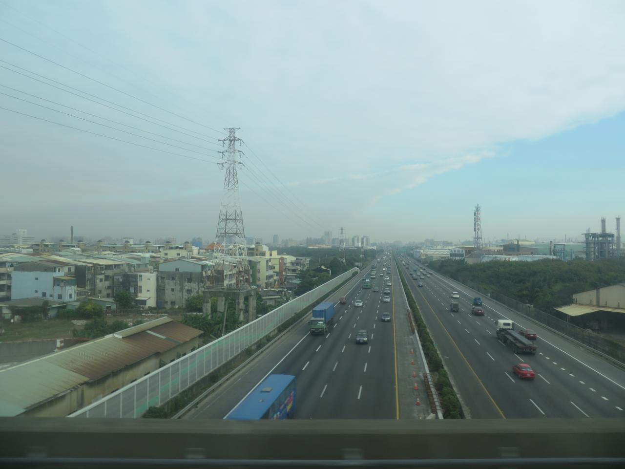
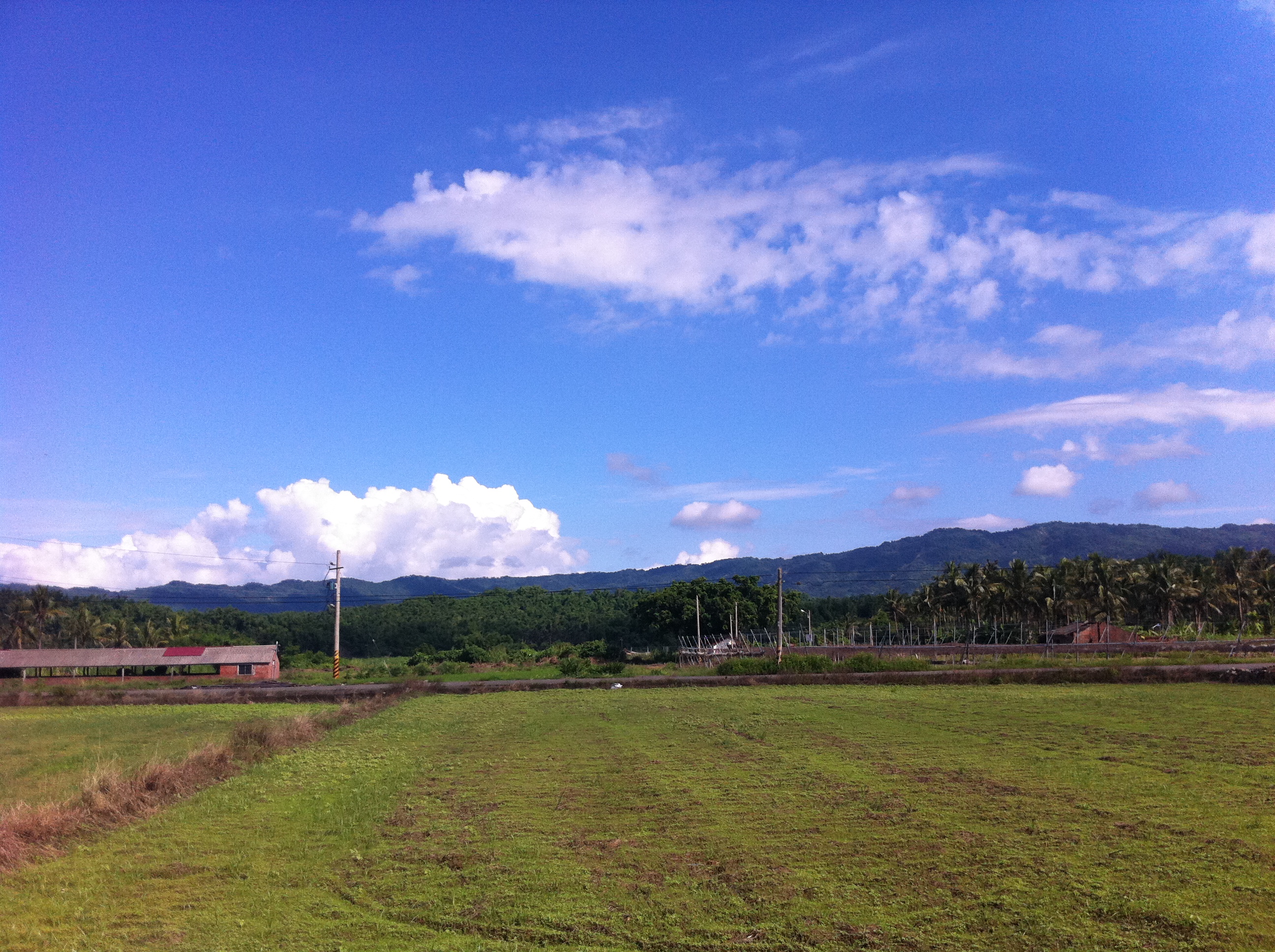
View From THSR Window
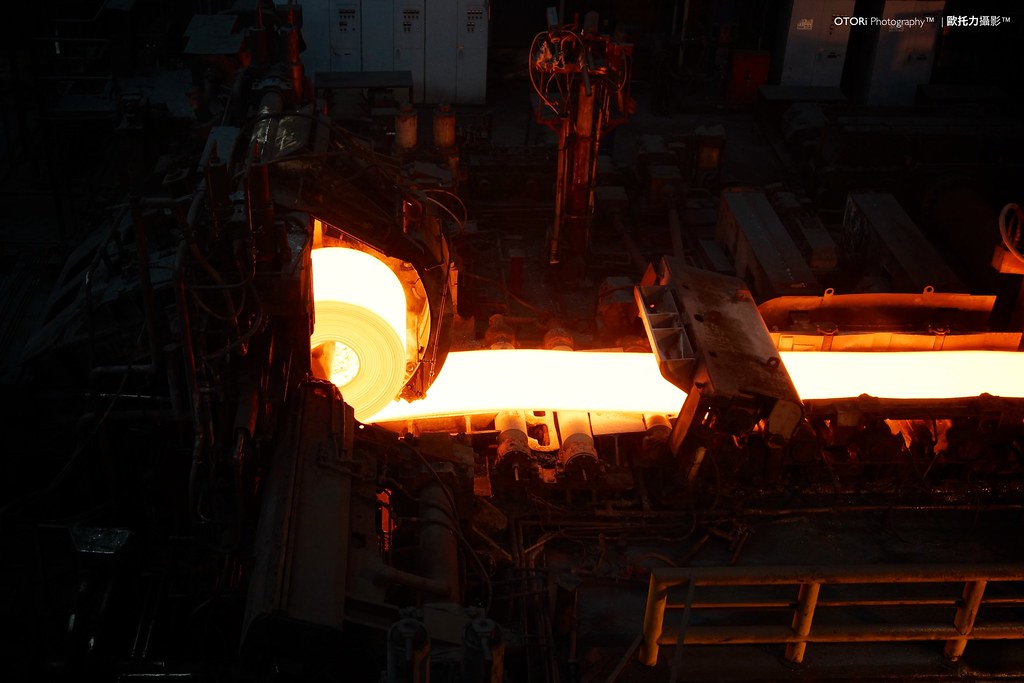
Hot Rolling

The view from the 308 highlands

The view from Putuoshan White Temple

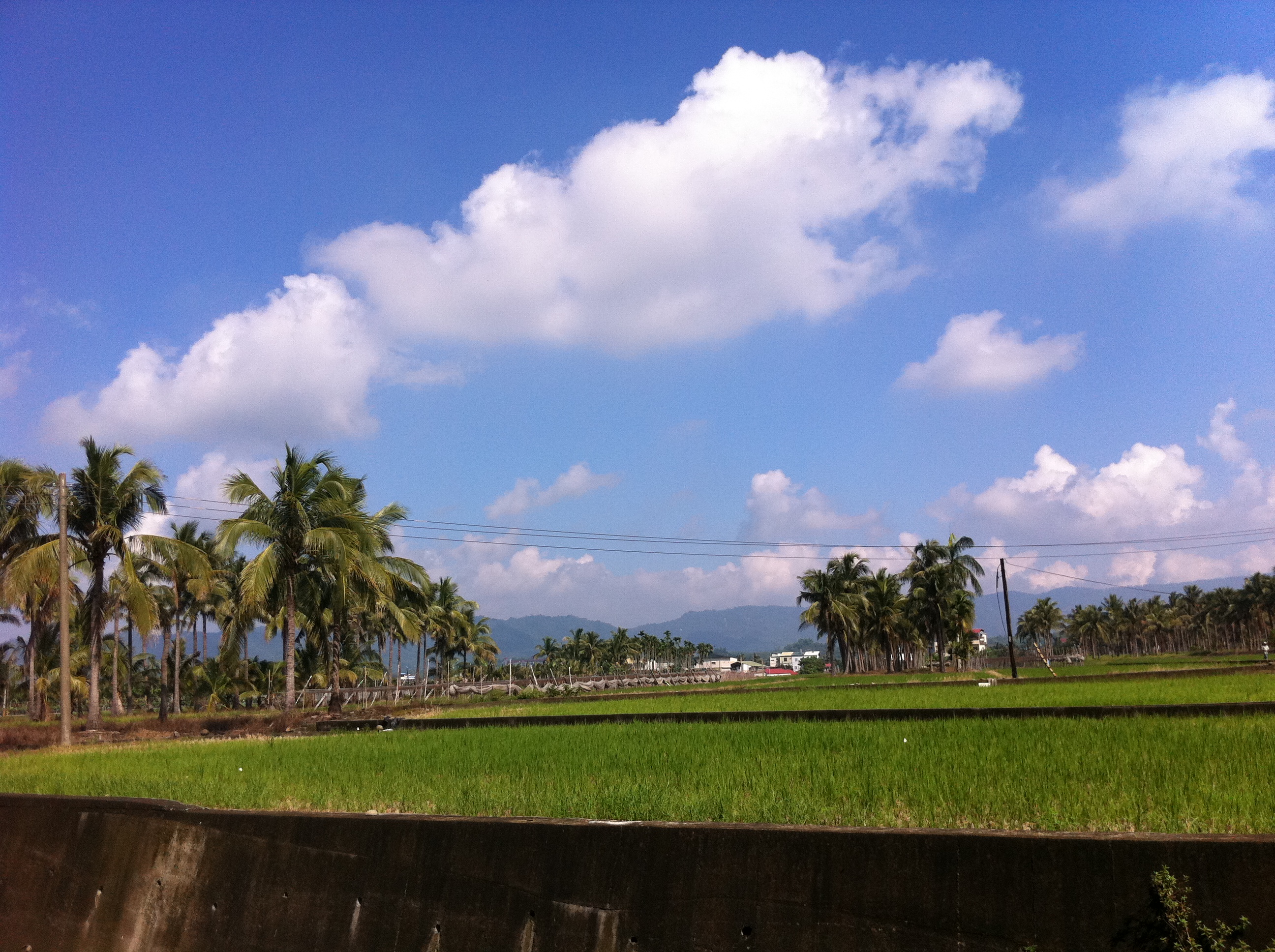
View From THSR Window

Satisfied Custoemr

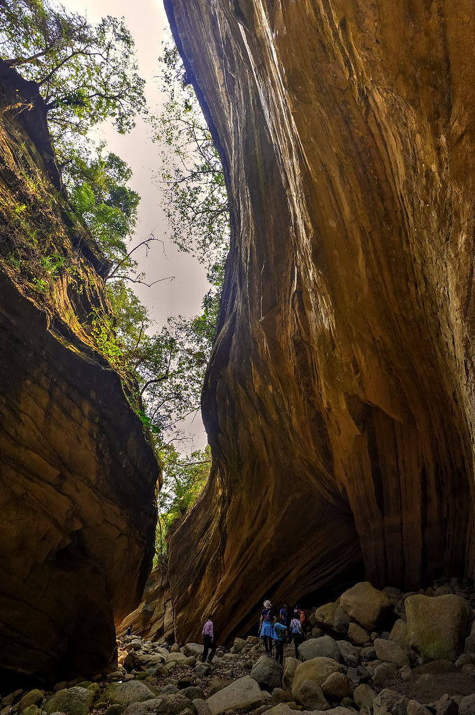
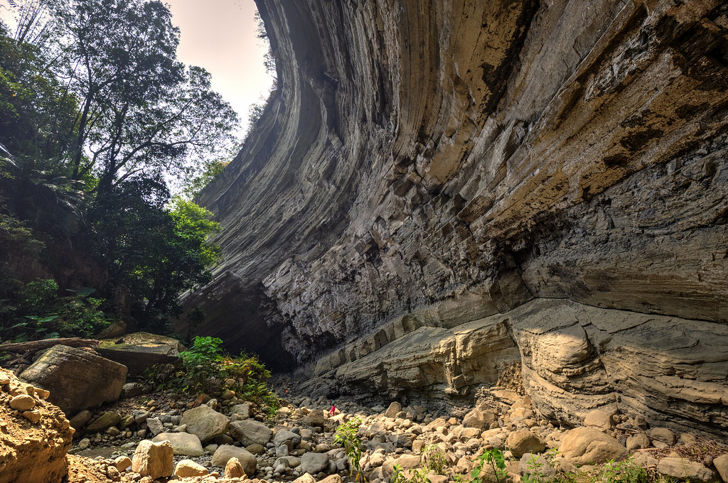
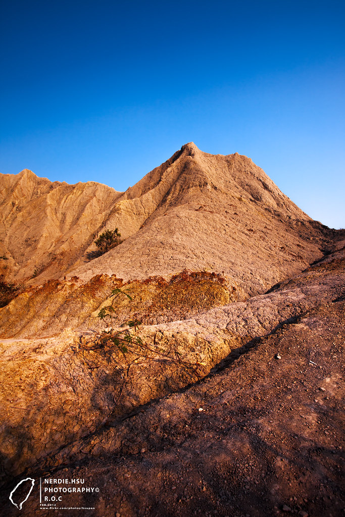
南化大地谷
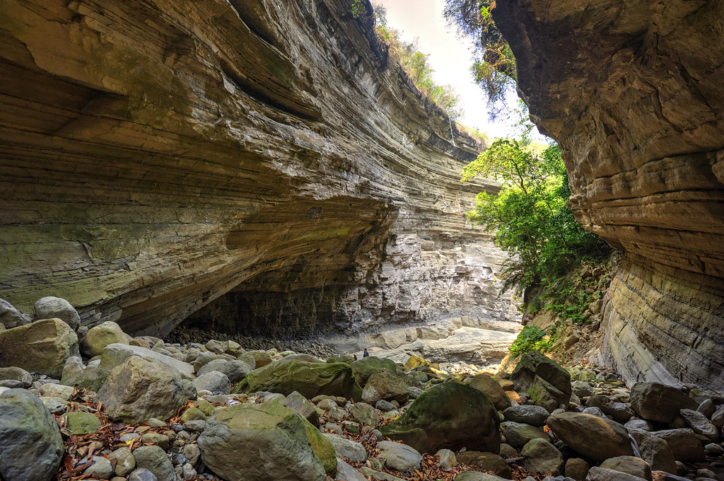
南化大地谷

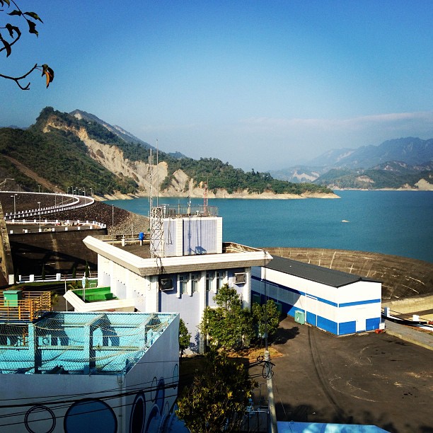
南化水庫, Nanhua Reservoir
南化大地谷

C360_2014-06-25-09-56-10-671

IMG_1624.jpg

IMG_1733.jpg

20140323065722_D300S_16-85_141_8118
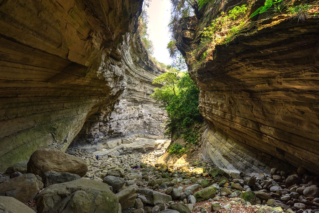
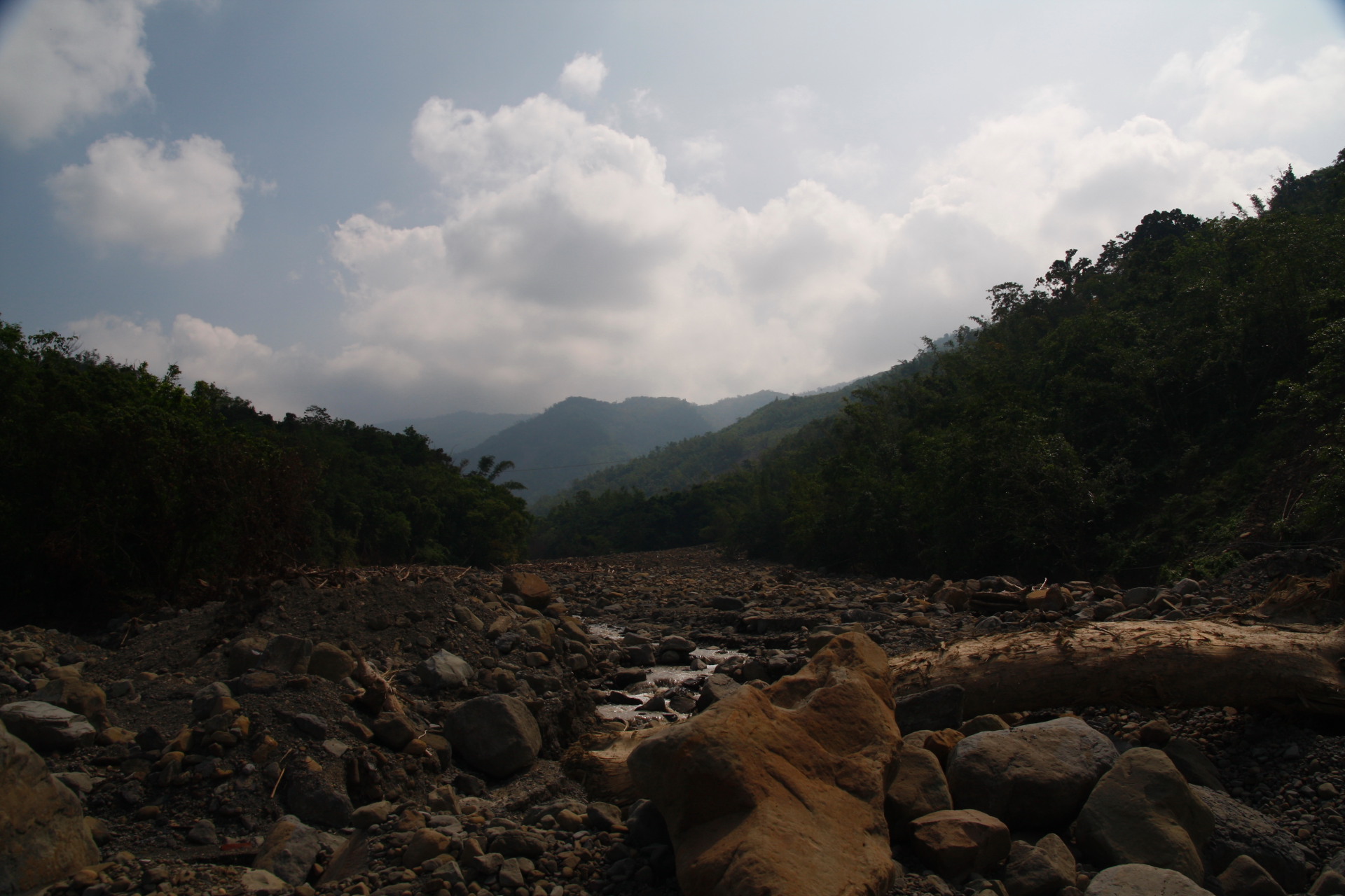
南化大地谷
碧水青天之南化水庫!
IMG_1748.jpg
IMG_1644.jpg
IMG_1803.jpg
IMG_1734.jpg
南化大地谷
_MG_4757.JPG
台南縣左鎮區青瓜寮月世界 - One
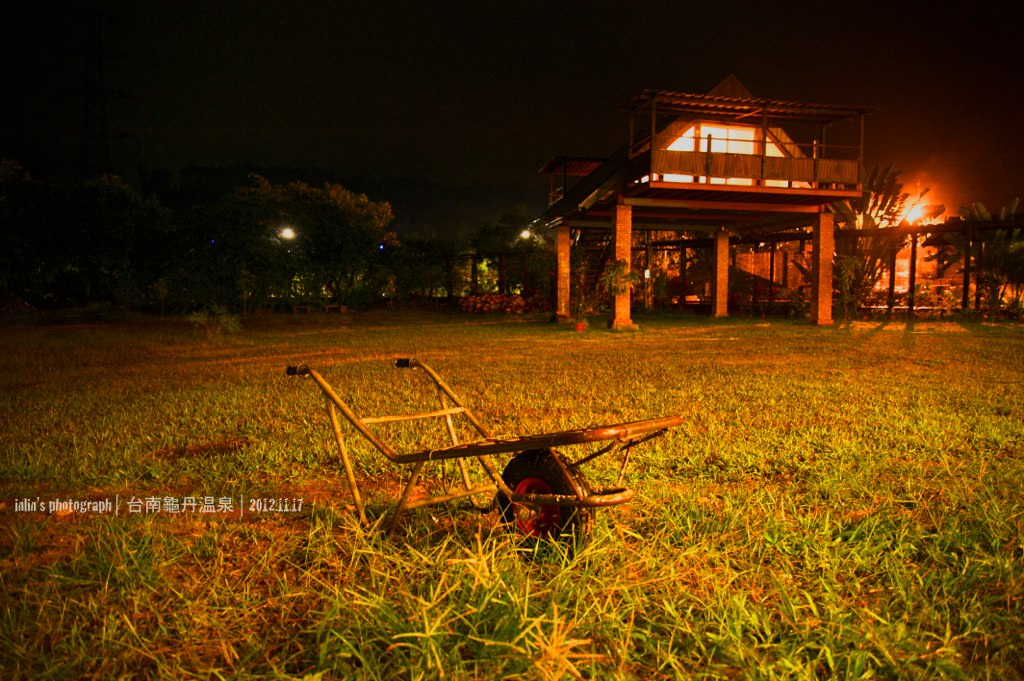
龜單溫泉

IMG_7899_PS.jpg

090記錄台灣美麗晨昏
IMG_1735.jpg
Topographic Map of No. 33, Zhongyuan Rd, Jiaxian District, Kaohsiung City, Taiwan
Find elevation by address:

Places near No. 33, Zhongyuan Rd, Jiaxian District, Kaohsiung City, Taiwan:
大田里
南179鄉道179號
No. 78, Nanbu Cross-island Hwy, Nanhua District, Tainan City, Taiwan
玉山里
木梓里
Nanhua District
No. 8, Nanbu Cross-island Hwy, Nanhua District, Tainan City, Taiwan
北寮里
No. 28, Nanbu Cross-island Hwy, Nanhua District, Tainan City, Taiwan
三埔里
南化里
120-1
Taiwan, Tainan City, Nanhua District, 台20乙線29號
Yujing District
關山里
竹圍里
中坑里
Taiwan, Tainan City, Nanhua District, 南-2鄉道38號
灣丘里
No. 28, Wucheng St, Yujing District, Tainan City, Taiwan
Recent Searches:
- Elevation of Côte-des-Neiges, Montreal, QC H4A 3J6, Canada
- Elevation of Bobcat Dr, Helena, MT, USA
- Elevation of Zu den Ihlowbergen, Althüttendorf, Germany
- Elevation of Badaber, Peshawar, Khyber Pakhtunkhwa, Pakistan
- Elevation of SE Heron Loop, Lincoln City, OR, USA
- Elevation of Slanický ostrov, 01 Námestovo, Slovakia
- Elevation of Spaceport America, Co Rd A, Truth or Consequences, NM, USA
- Elevation of Warwick, RI, USA
- Elevation of Fern Rd, Whitmore, CA, USA
- Elevation of 62 Abbey St, Marshfield, MA, USA