Elevation of NM-28, Anthony, NM, USA
Location: United States > New Mexico > Doña Ana County >
Longitude: -106.67494
Latitude: 32.049828
Elevation: 1162m / 3812feet
Barometric Pressure: 88KPa
Elevation Map:
Satellite Map:
Related Photos:
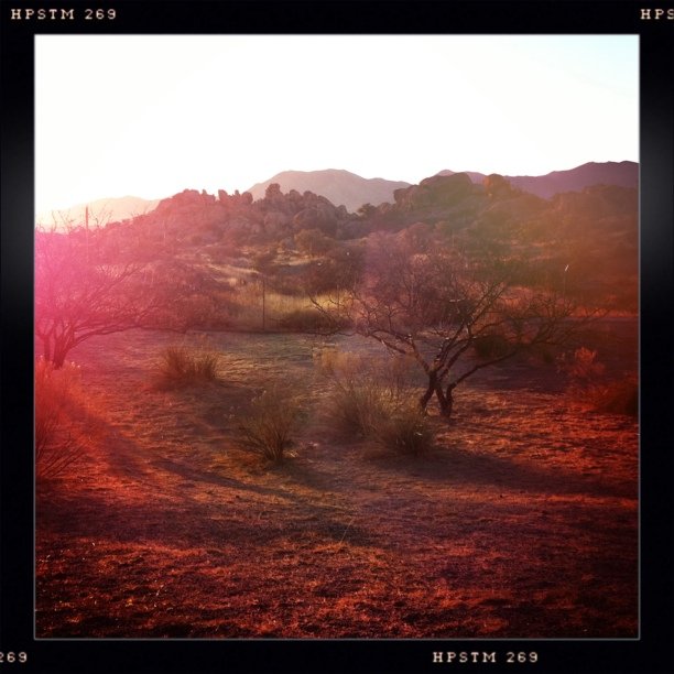
The view early this morning of where @funshine and I grabbed a few hours of sleep.
Another view of South end of Organ Mountains
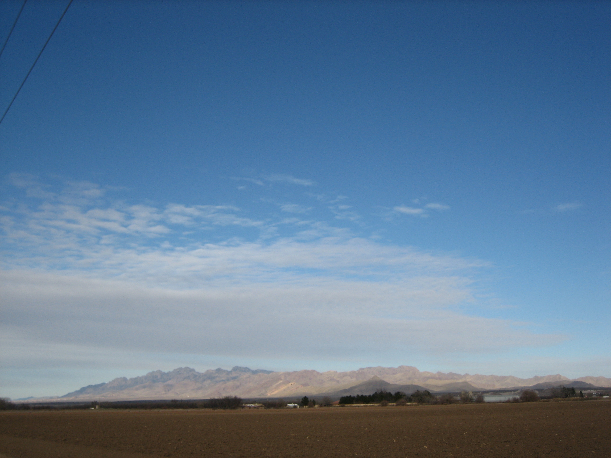
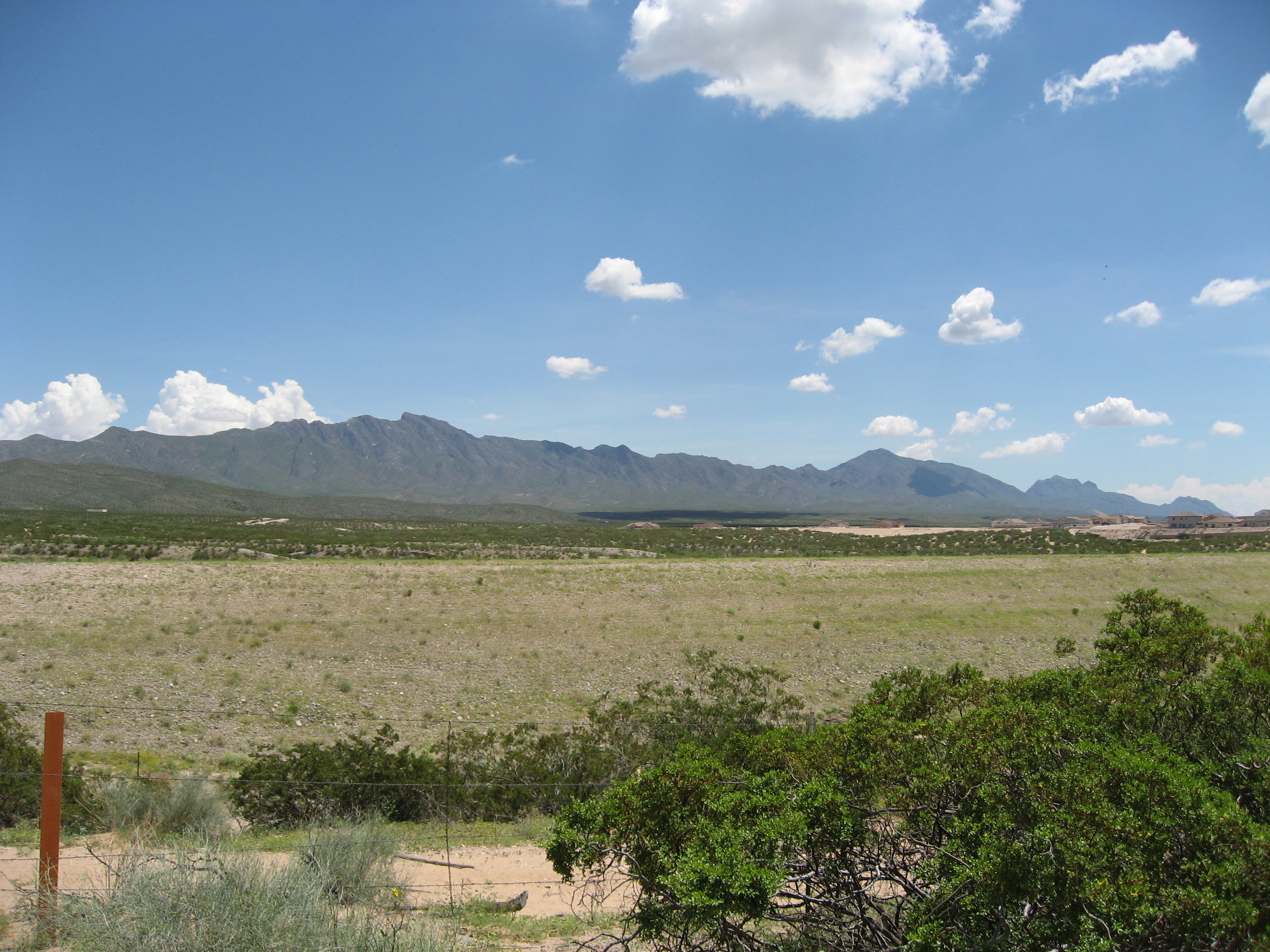
Mountain View

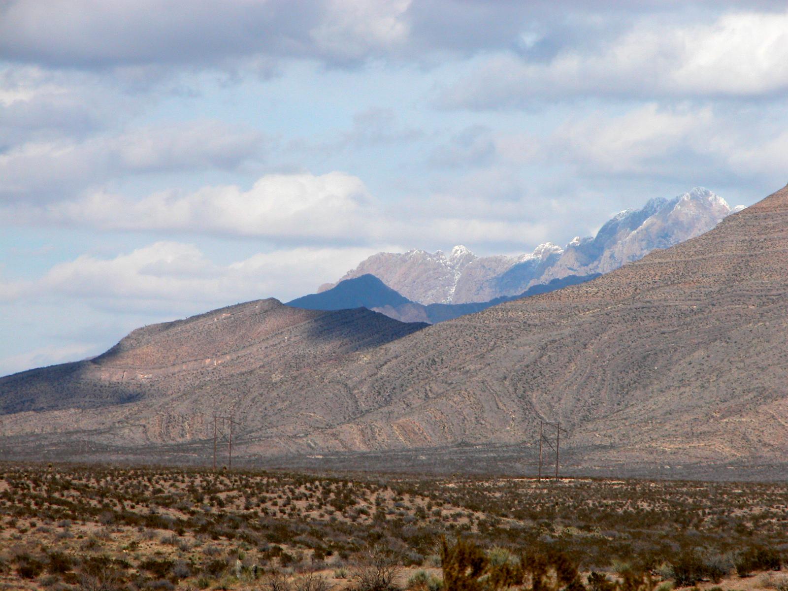
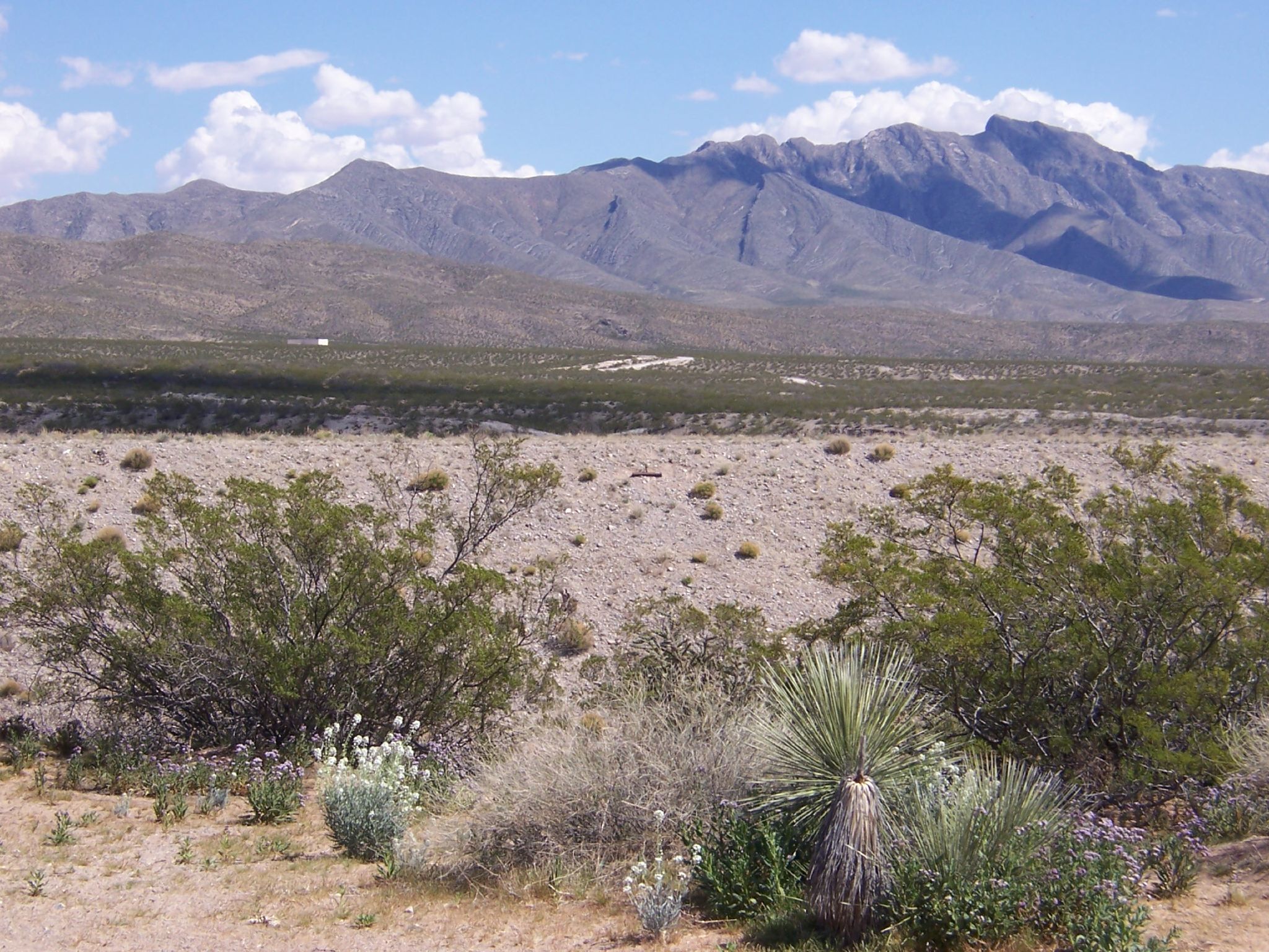
The Organ Mountains
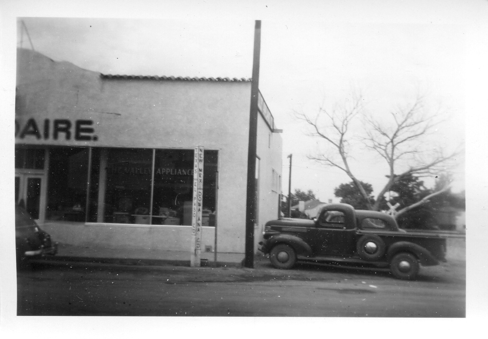
drvfrmOK 206

20080812 I-10 I-25 047

20080812 I-10 I-25 049
20080812 I-10 I-25 051
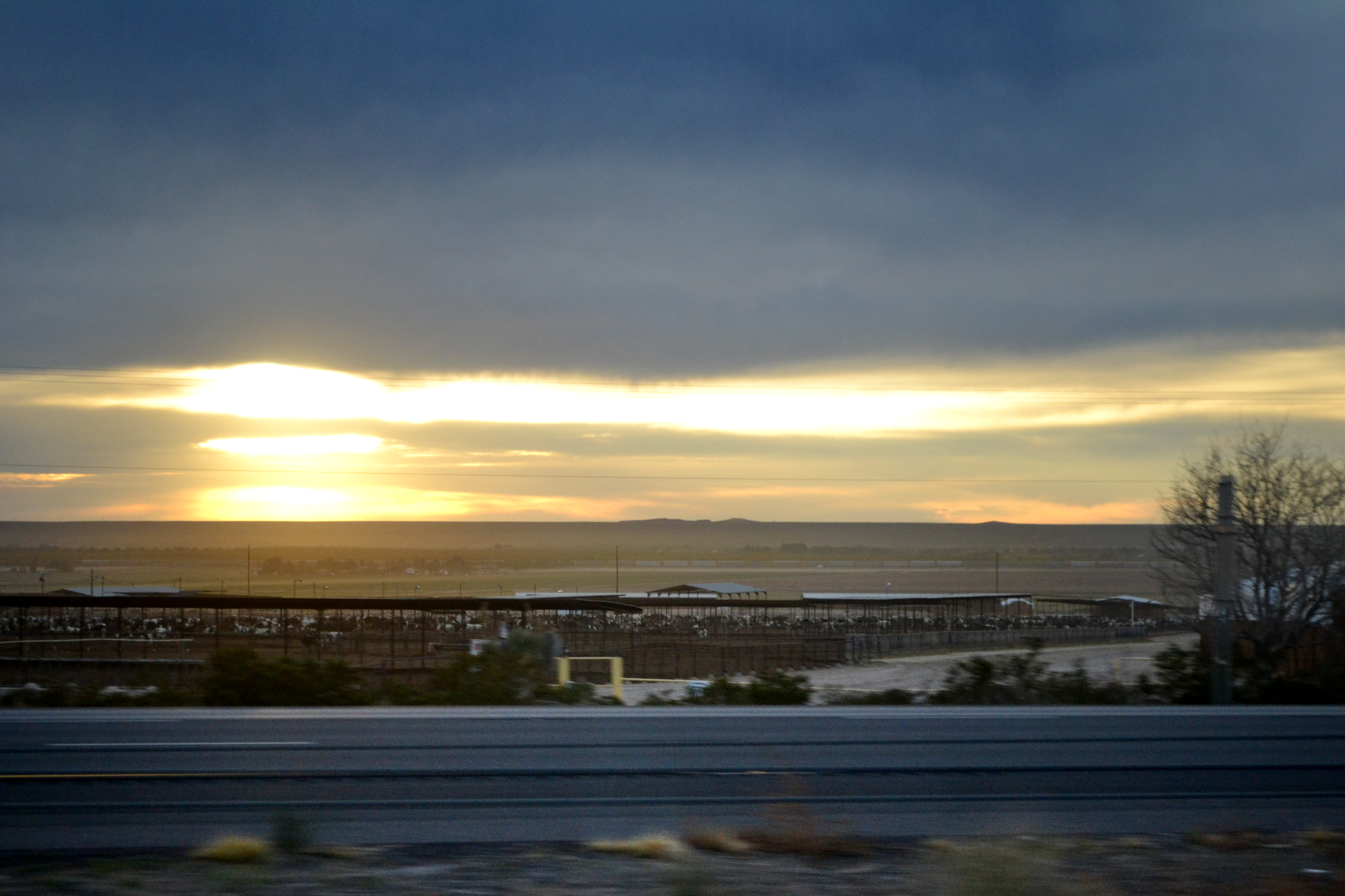
Cattle Drive

The Weather Wizard and Berra Go Flying in 1992

My dream home
Looking north at the Organ Mountains during sunrise
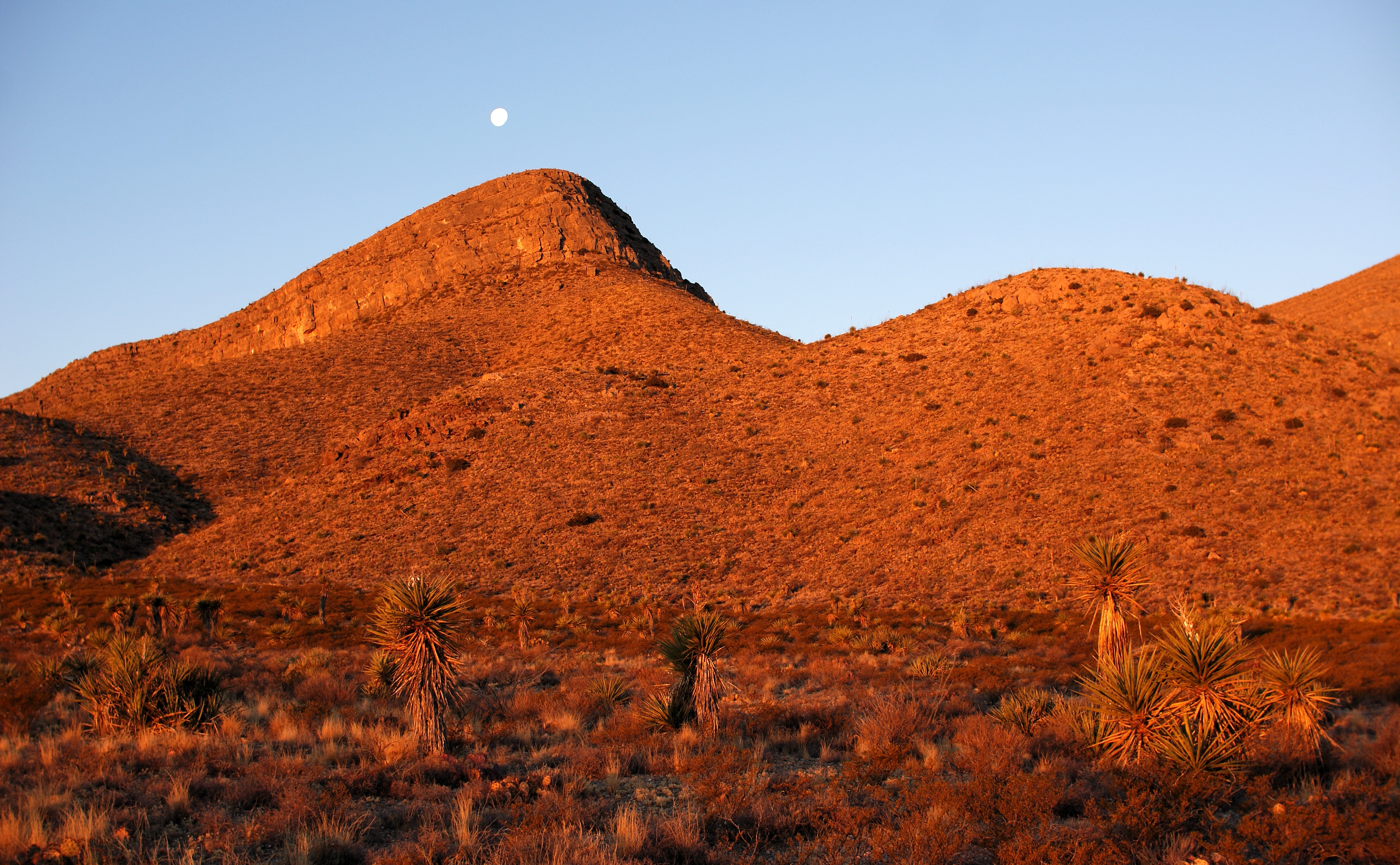
North Anthony Nose Sunrise and Moonset 2
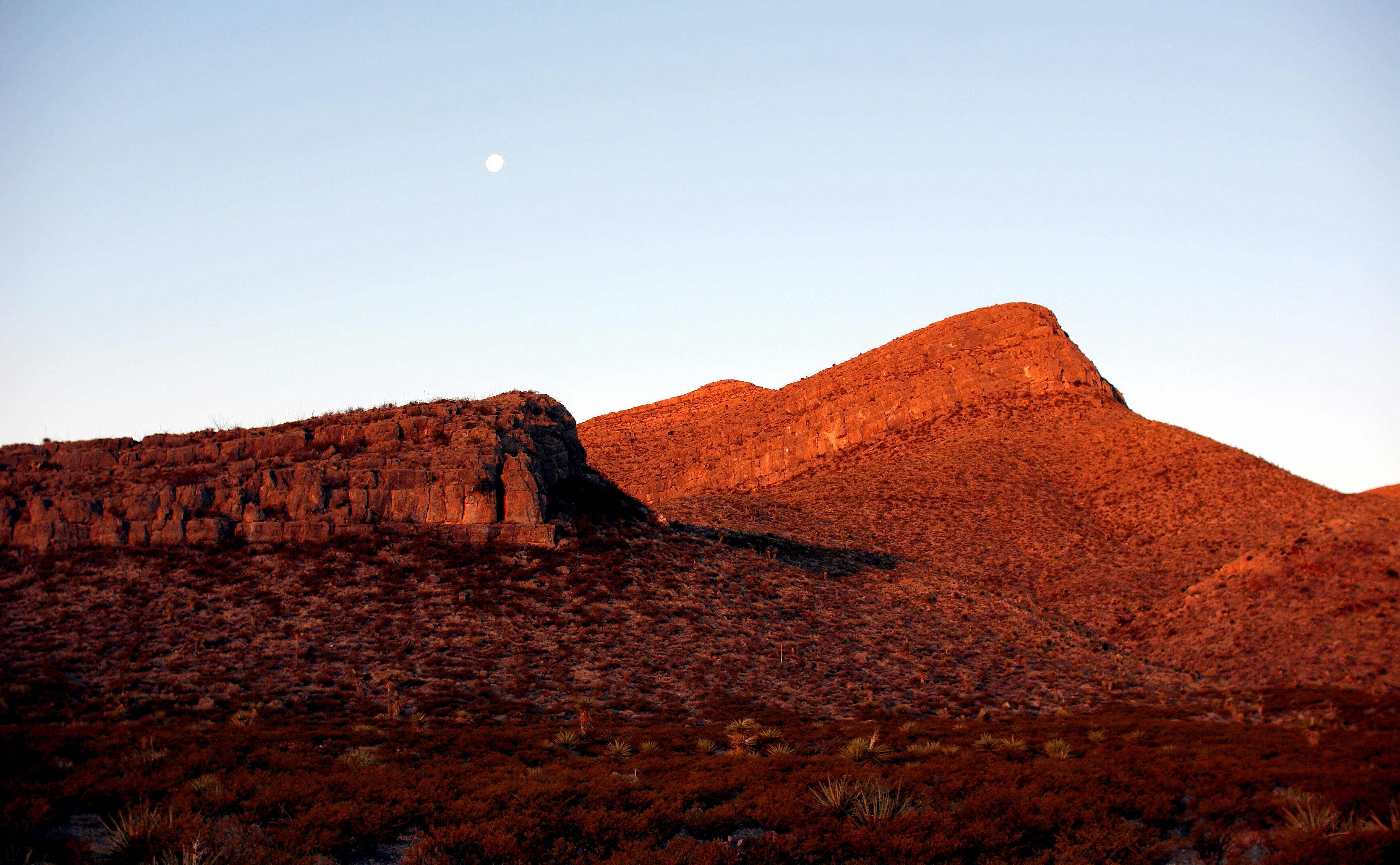
North Anthony Nose Sunrise and Moonset 1
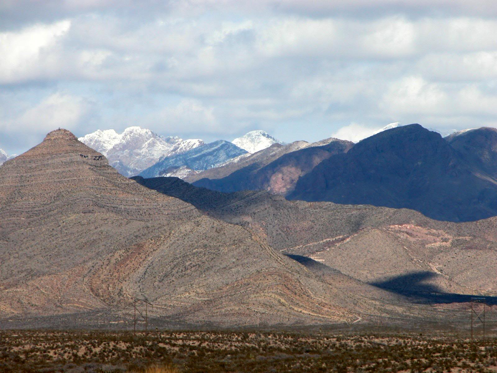
Bishop's Cap & south end of Organ Mountains in Ice and Shadow
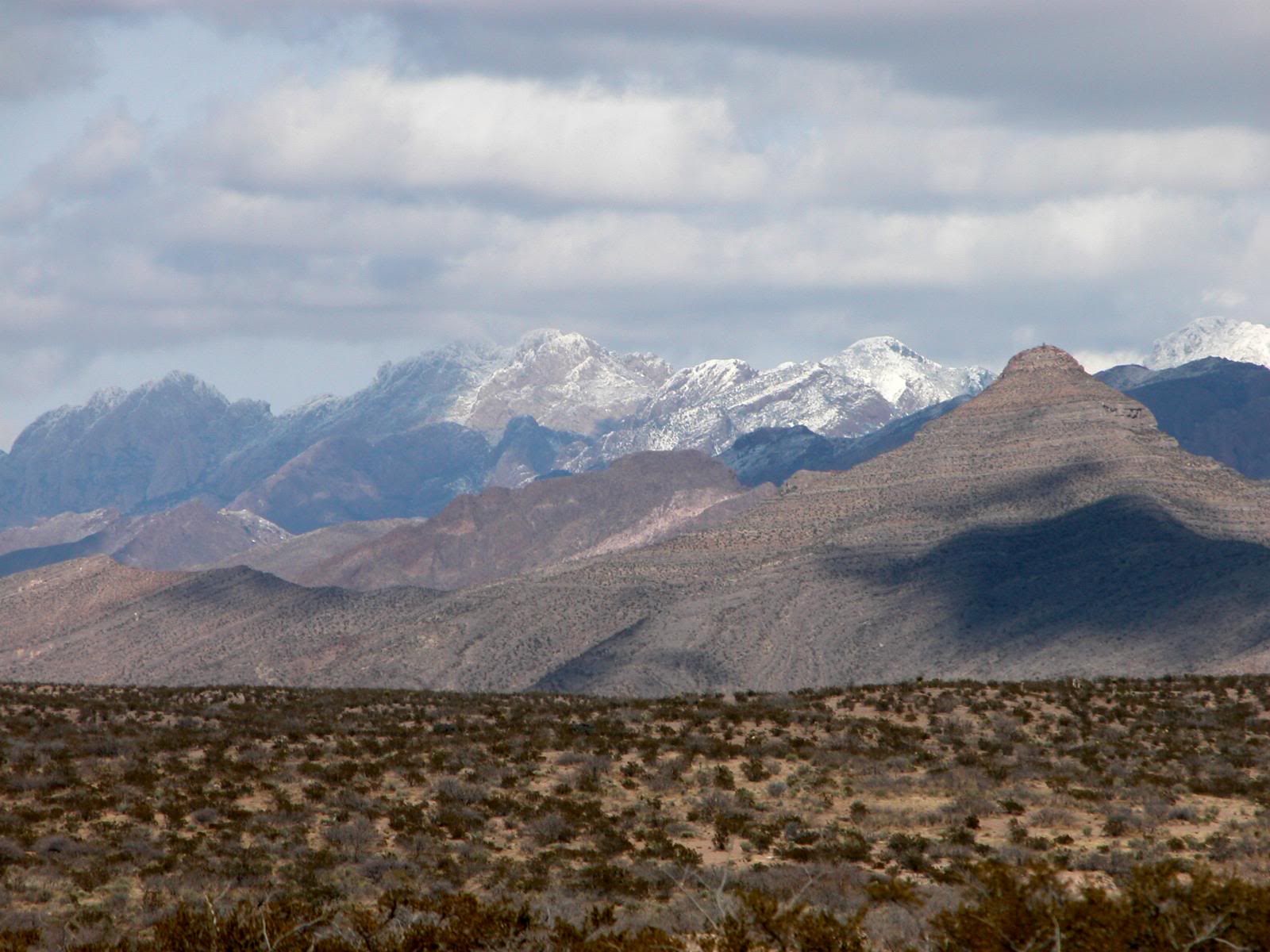
Bishop's Cap 1-21-07
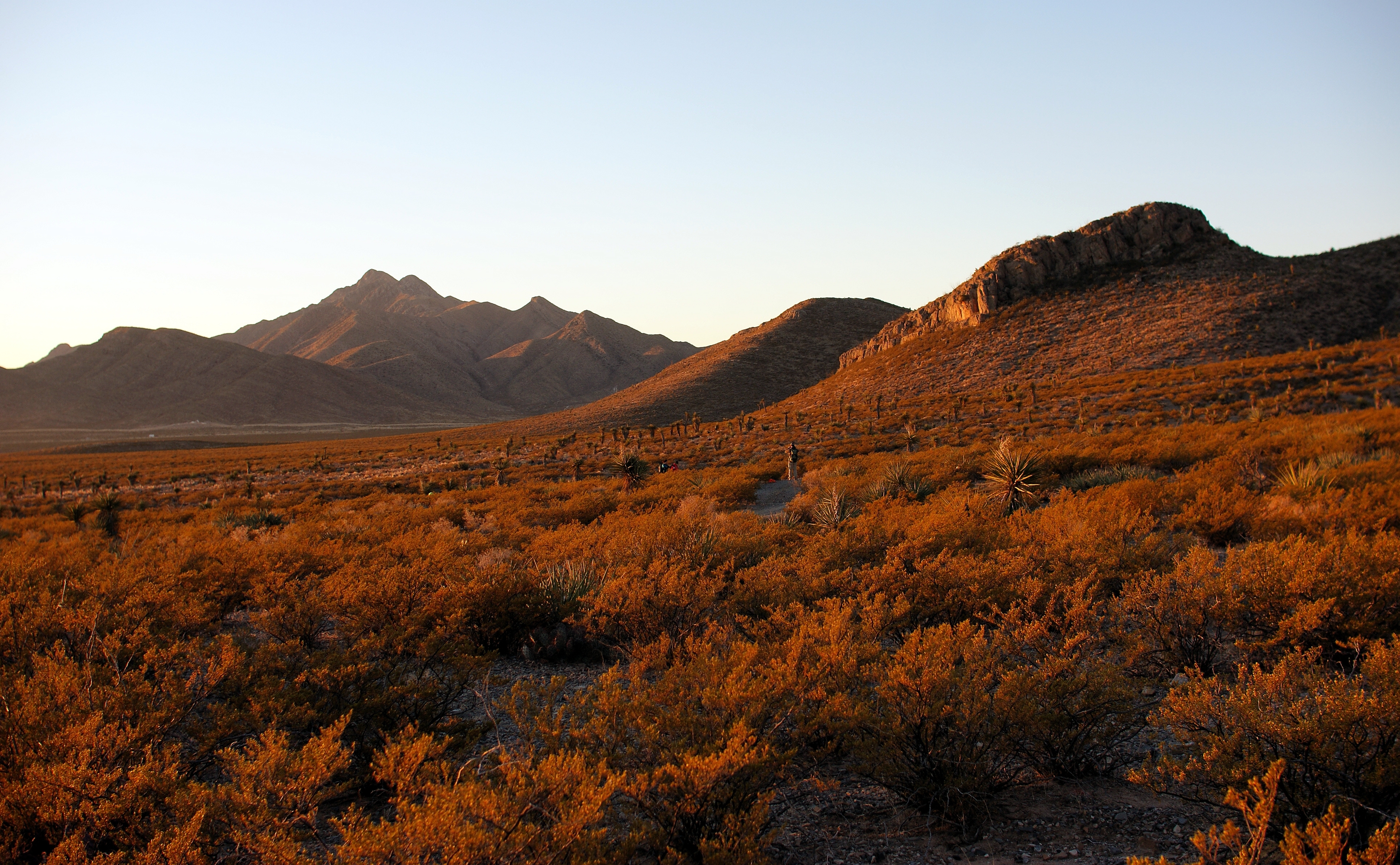
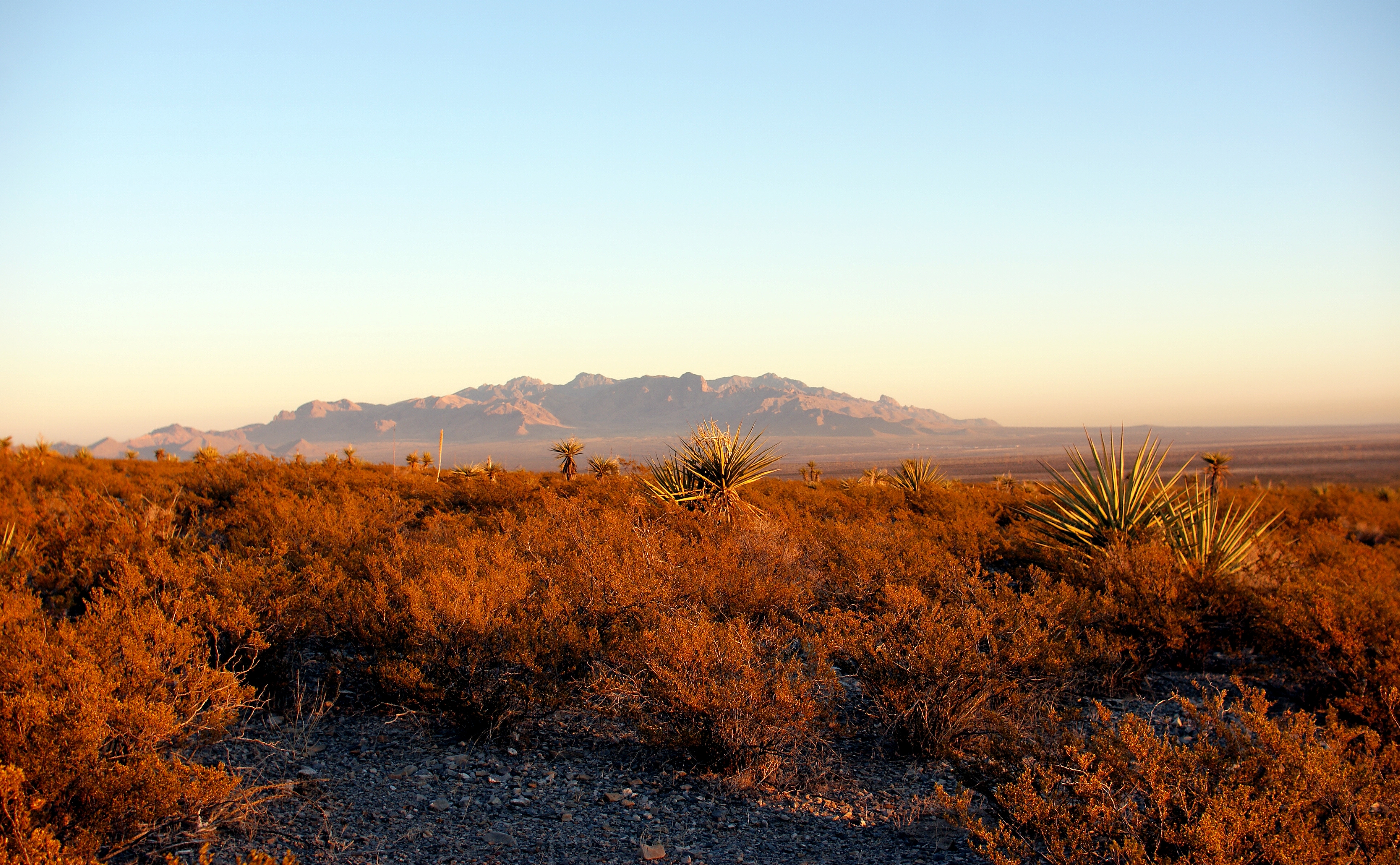
Looking south at the Franklin Mountains during sunrise
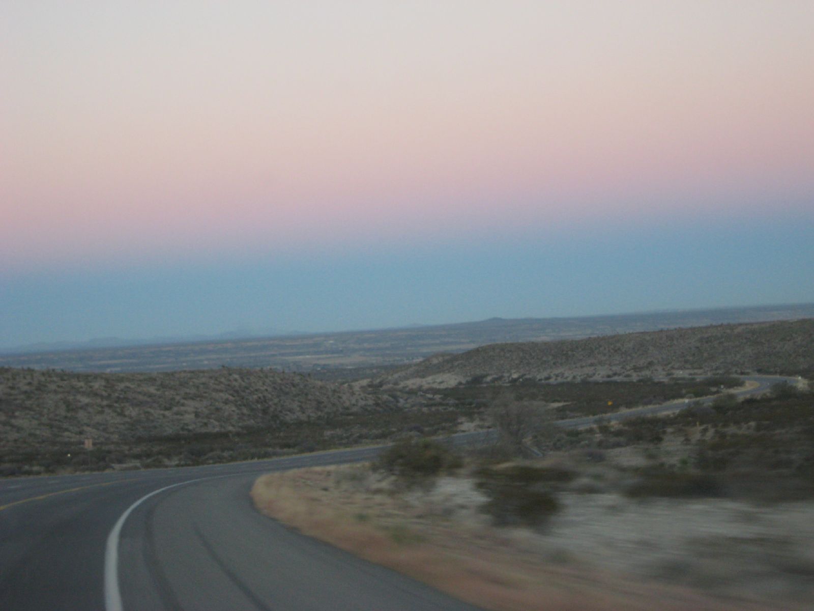
Almost back in Texas
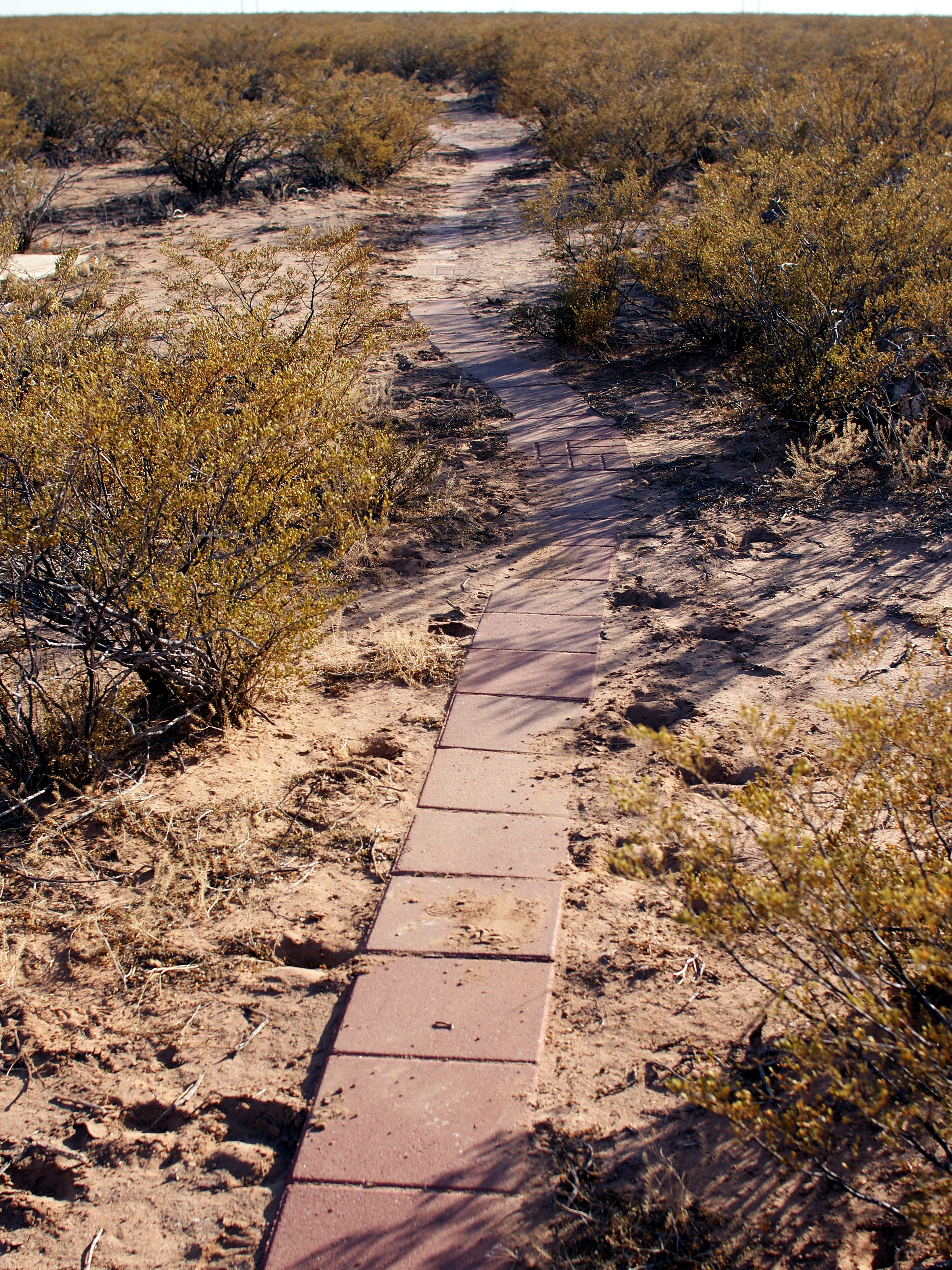
Paved Trail

The Franklin Mountains
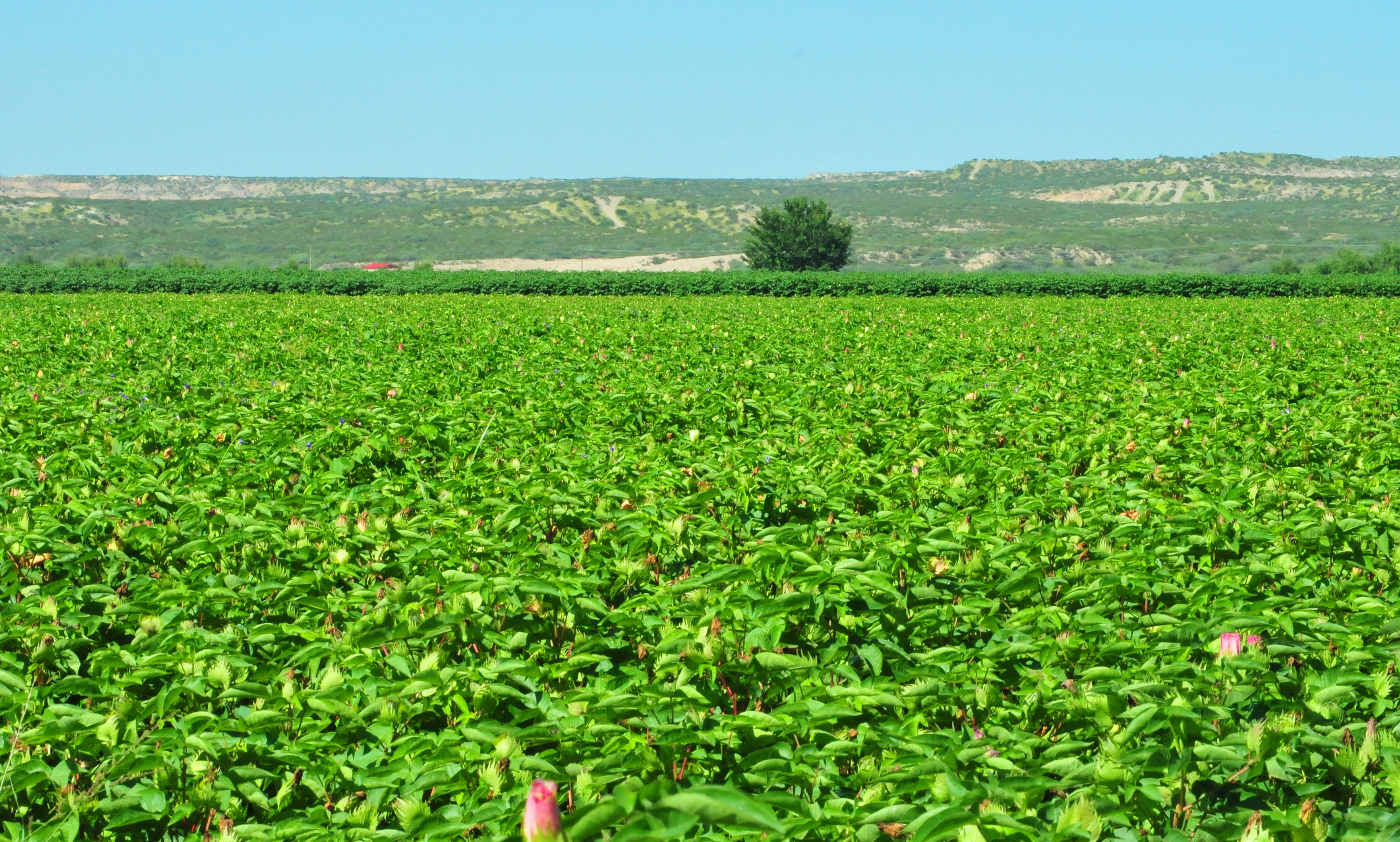
King Cotton
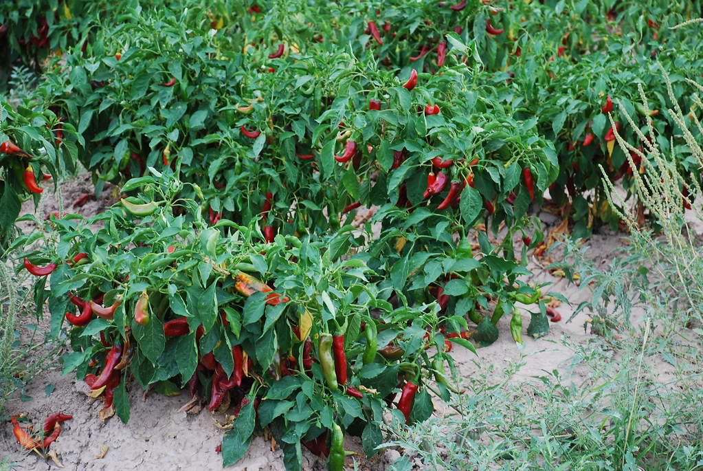
New Mexico Chile

From #SoCal to #MidWest! #adventure #TioRV #RV #familyTime #TravelMyPlanet #travel #landscape #cntraveler #natgeotraveler @herrerafluis @mzblook @ruben_prado
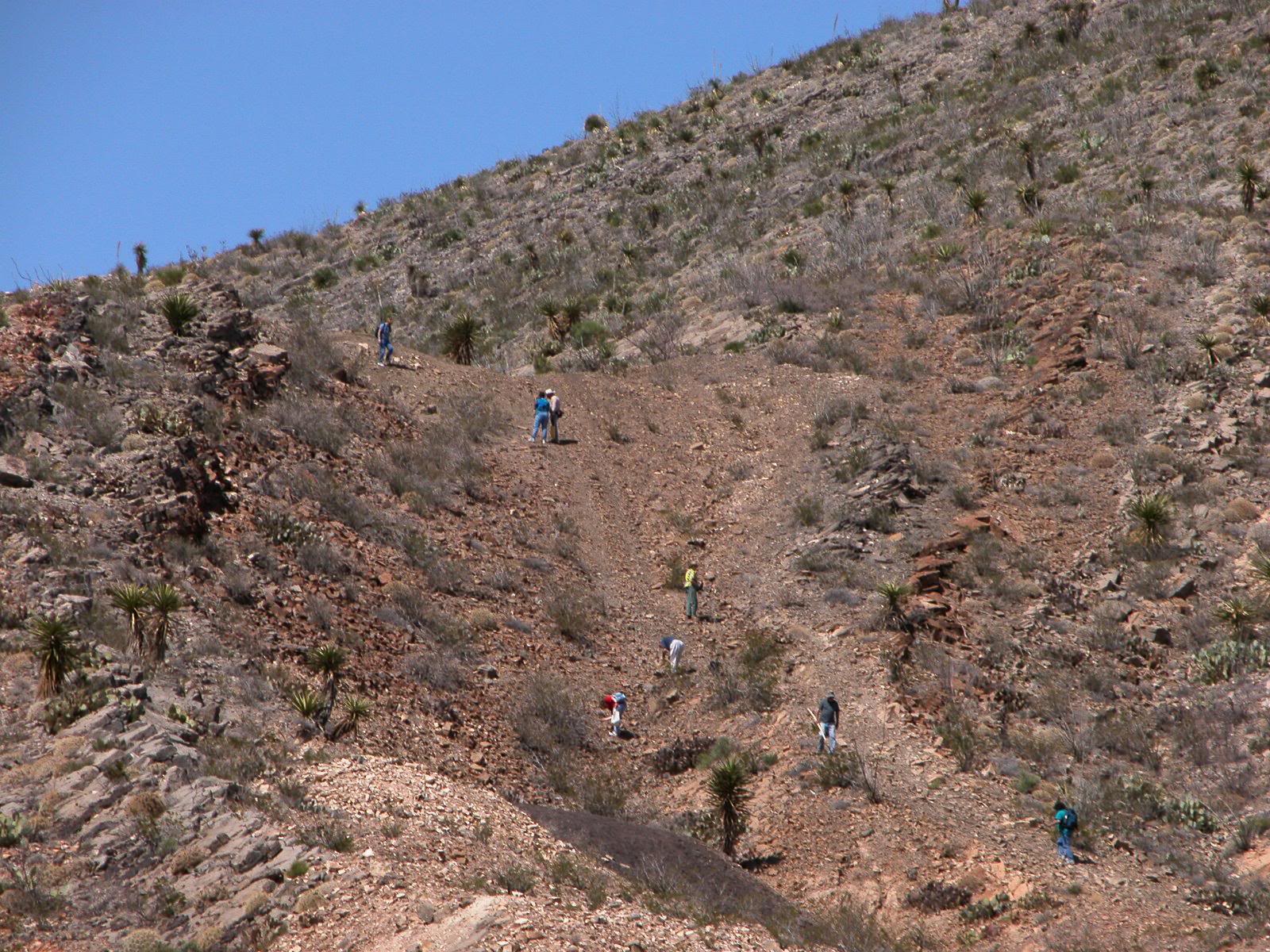
Las Cruces rockhound club exploring fossil-rich drain at Bishops Cap
20070326 Silver City 010
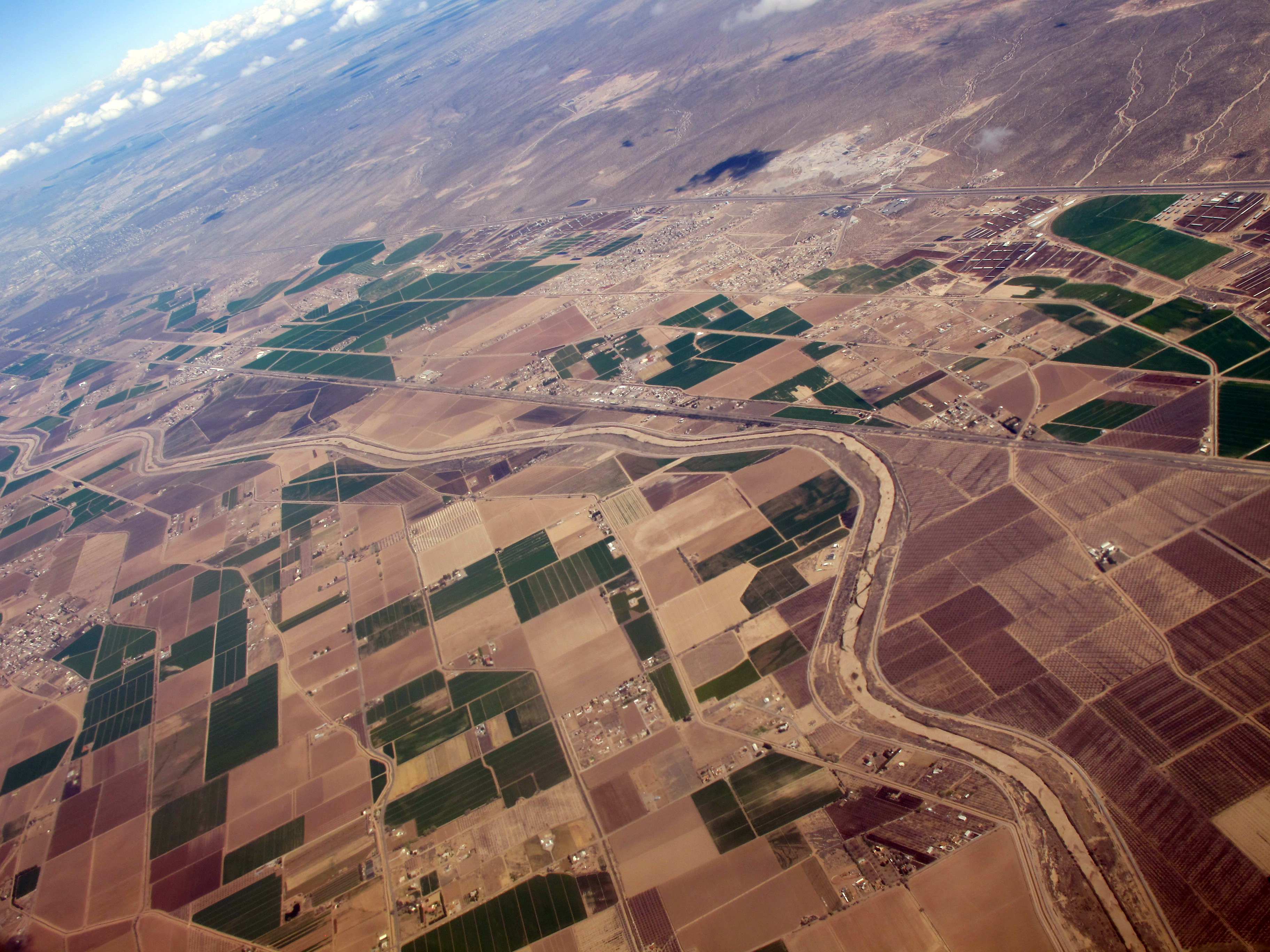
Rio Grande Valley
Topographic Map of NM-28, Anthony, NM, USA
Find elevation by address:

Places near NM-28, Anthony, NM, USA:
10200 Nm-28
301 W Provencio
Cox Farm, Anthony, NM, USA
San Benito, Mesquite, NM, USA
Vado
La Mesa
Anthony
Anthony
Mesquite
Coach Rd, Canutillo, TX, USA
Westway
620 Abby Rd
460 Casa Roja Dr
Canutillo
The Outlet Shoppes At El Paso
Enchanted View Drive
7804 Enchanted View Drive
6436 Passo Via St
6305 Joel King Pl
1945 Northwestern Dr
Recent Searches:
- Elevation of Alisal Rd, Solvang, CA, USA
- Elevation of Vista Blvd, Sparks, NV, USA
- Elevation of 15th Ave SE, St. Petersburg, FL, USA
- Elevation of Beall Road, Beall Rd, Florida, USA
- Elevation of Leguwa, Nepal
- Elevation of County Rd, Enterprise, AL, USA
- Elevation of Kolchuginsky District, Vladimir Oblast, Russia
- Elevation of Shustino, Vladimir Oblast, Russia
- Elevation of Lampiasi St, Sarasota, FL, USA
- Elevation of Elwyn Dr, Roanoke Rapids, NC, USA