Elevation of NM-24, Piñon, NM, USA
Location: United States > New Mexico > Otero County >
Longitude: -105.39325
Latitude: 32.617707
Elevation: -10000m / -32808feet
Barometric Pressure: 295KPa
Elevation Map:
Satellite Map:
Related Photos:
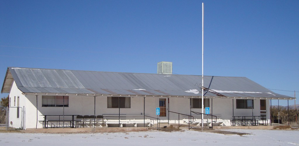
Community Center (Piñon, New Mexico)

Post Office 88344 (Piñon, New Mexico)
Topographic Map of NM-24, Piñon, NM, USA
Find elevation by address:

Places near NM-24, Piñon, NM, USA:
The Rim North
Elk
Pajarita Mountain
Hope
910 Badger St
Lechegilla Rd, Hope, NM, USA
Tinnie
Rio Bonito
28681 Us-70
Hondo
Glencoe
San Patricio
Lincoln
9666 Us-380
Eddy County
7 Rivers Hwy, Artesia, NM, USA
Sunset Peak
Capitan Peak
Capitan Mountains Hp
704 S 17th St
Recent Searches:
- Elevation of Fern Rd, Whitmore, CA, USA
- Elevation of 62 Abbey St, Marshfield, MA, USA
- Elevation of Fernwood, Bradenton, FL, USA
- Elevation of Felindre, Swansea SA5 7LU, UK
- Elevation of Leyte Industrial Development Estate, Isabel, Leyte, Philippines
- Elevation of W Granada St, Tampa, FL, USA
- Elevation of Pykes Down, Ivybridge PL21 0BY, UK
- Elevation of Jalan Senandin, Lutong, Miri, Sarawak, Malaysia
- Elevation of Bilohirs'k
- Elevation of 30 Oak Lawn Dr, Barkhamsted, CT, USA