Elevation of Nkhoma Mission, Malawi
Location: Malawi > Central Region > Lilongwe >
Longitude: 34.1038091
Latitude: -14.044239
Elevation: 1222m / 4009feet
Barometric Pressure: 87KPa
Elevation Map:
Satellite Map:
Related Photos:

Pastels
Rugged

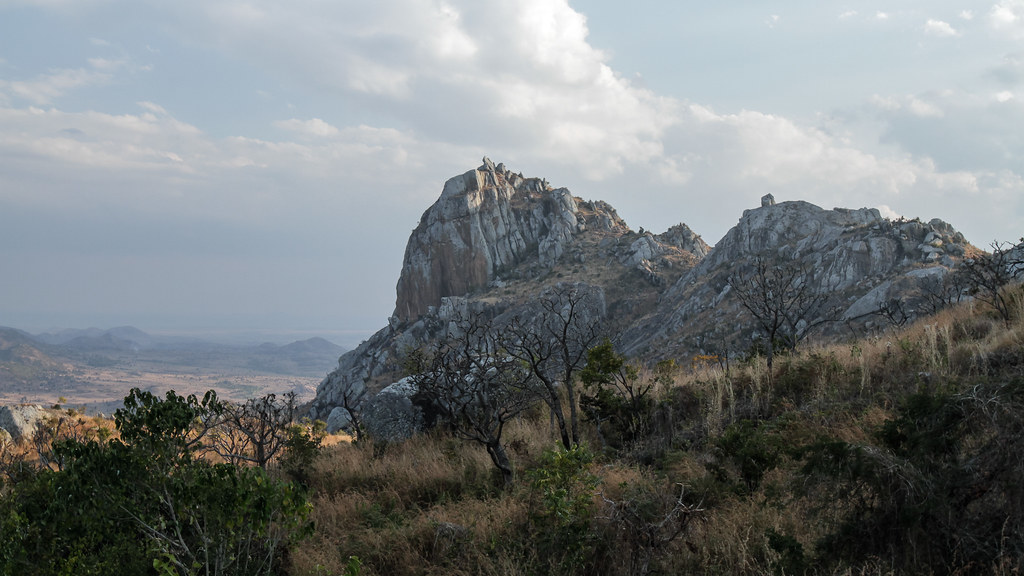
Koppie

IMG_6020

IMG_7062

23 April, 12.18

170 The oldest bridge in Malawi, near Lilongwe P1000923
Topographic Map of Nkhoma Mission, Malawi
Find elevation by address:

Places near Nkhoma Mission, Malawi:
Malawi Parliament And Cabinet Offices
Lilongwe
Dowa
Dowa
Central Region
Lake Malawi National Park Visitors Center
Cape Maclear
Ntchisi
Malawi
Recent Searches:
- Elevation of Spaceport America, Co Rd A, Truth or Consequences, NM, USA
- Elevation of Warwick, RI, USA
- Elevation of Fern Rd, Whitmore, CA, USA
- Elevation of 62 Abbey St, Marshfield, MA, USA
- Elevation of Fernwood, Bradenton, FL, USA
- Elevation of Felindre, Swansea SA5 7LU, UK
- Elevation of Leyte Industrial Development Estate, Isabel, Leyte, Philippines
- Elevation of W Granada St, Tampa, FL, USA
- Elevation of Pykes Down, Ivybridge PL21 0BY, UK
- Elevation of Jalan Senandin, Lutong, Miri, Sarawak, Malaysia