Elevation map of Njombe, Tanzania
Location: Tanzania > Iringa Region >
Longitude: 34.6856509
Latitude: -8.9147528
Elevation: 1501m / 4925feet
Barometric Pressure: 85KPa
Elevation Map:
Satellite Map:
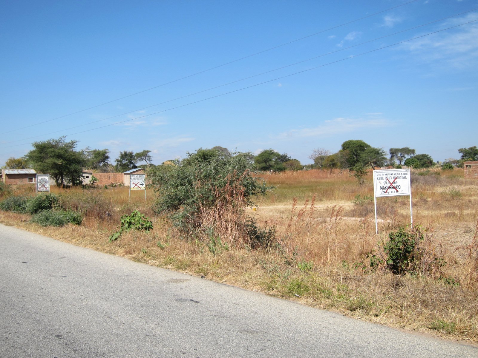
Related Photos:

Topographic Map of Njombe, Tanzania
Find elevation by address:

Places in Njombe, Tanzania:
Places near Njombe, Tanzania:
Wanging'ombe
Wanging'ombe
Kkkt Mji Mwema
Makambako
Africa
Mbarali River
Kidugala
Southern Highlands, Tanzania
Kidugala
Makambako Urban
Njombe
Njombe Region
Makete
Kyela
Mlangali
Lugarawa
Lugalawa
Mjimwema
Njelela Secondary
Ludewa
Recent Searches:
- Elevation of Hercules Dr, Colorado Springs, CO, USA
- Elevation of Szlak pieszy czarny, Poland
- Elevation of Griffing Blvd, Biscayne Park, FL, USA
- Elevation of Kreuzburger Weg 13, Düsseldorf, Germany
- Elevation of Gateway Blvd SE, Canton, OH, USA
- Elevation of East W.T. Harris Boulevard, E W.T. Harris Blvd, Charlotte, NC, USA
- Elevation of West Sugar Creek, Charlotte, NC, USA
- Elevation of Wayland, NY, USA
- Elevation of Steadfast Ct, Daphne, AL, USA
- Elevation of Lagasgasan, X+CQH, Tiaong, Quezon, Philippines