Elevation of Nishikawa, Nishimurayama District, Yamagata Prefecture, Japan
Location: Japan > Yamagata Prefecture > Nishimurayama District >
Longitude: 140.147347
Latitude: 38.4264992
Elevation: 200m / 656feet
Barometric Pressure: 99KPa
Elevation Map:
Satellite Map:
Related Photos:
Good morning here from office ALBERO in Sagae, Yamagata.

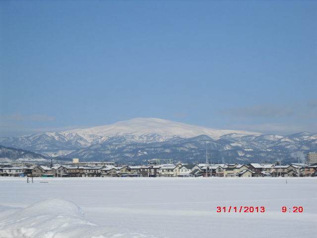
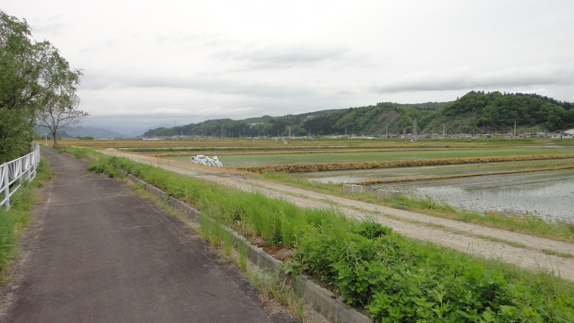
View of the countryside

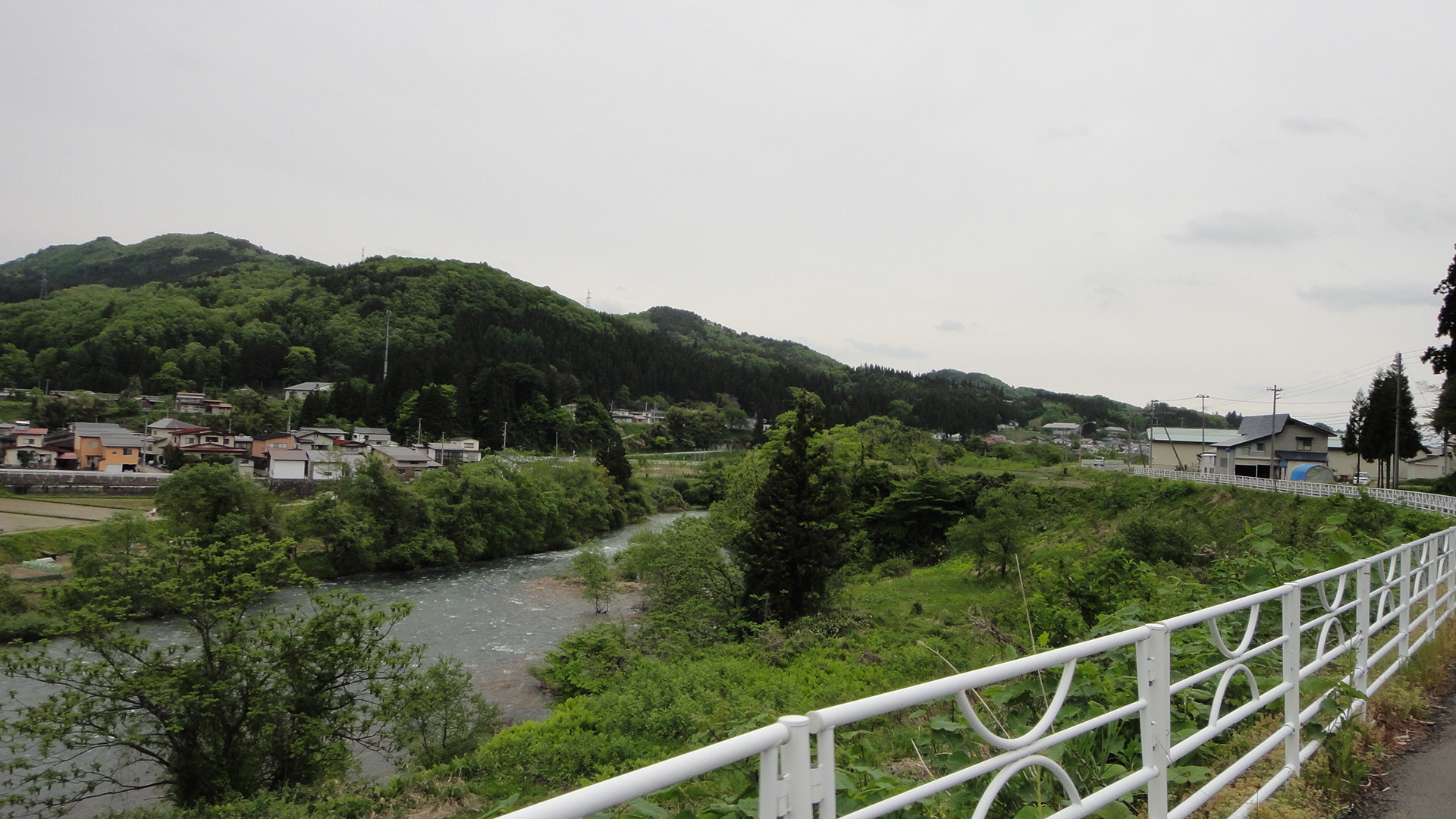
Mogami river in spring
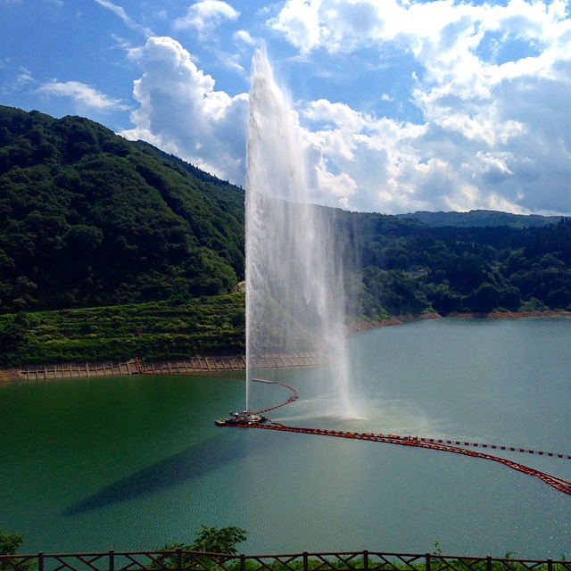
112m の噴水。
ちょうどラッキー?にも噴水ショータイム。

Gassan 20140928-3
rural footpath

Gassan 20140928-1

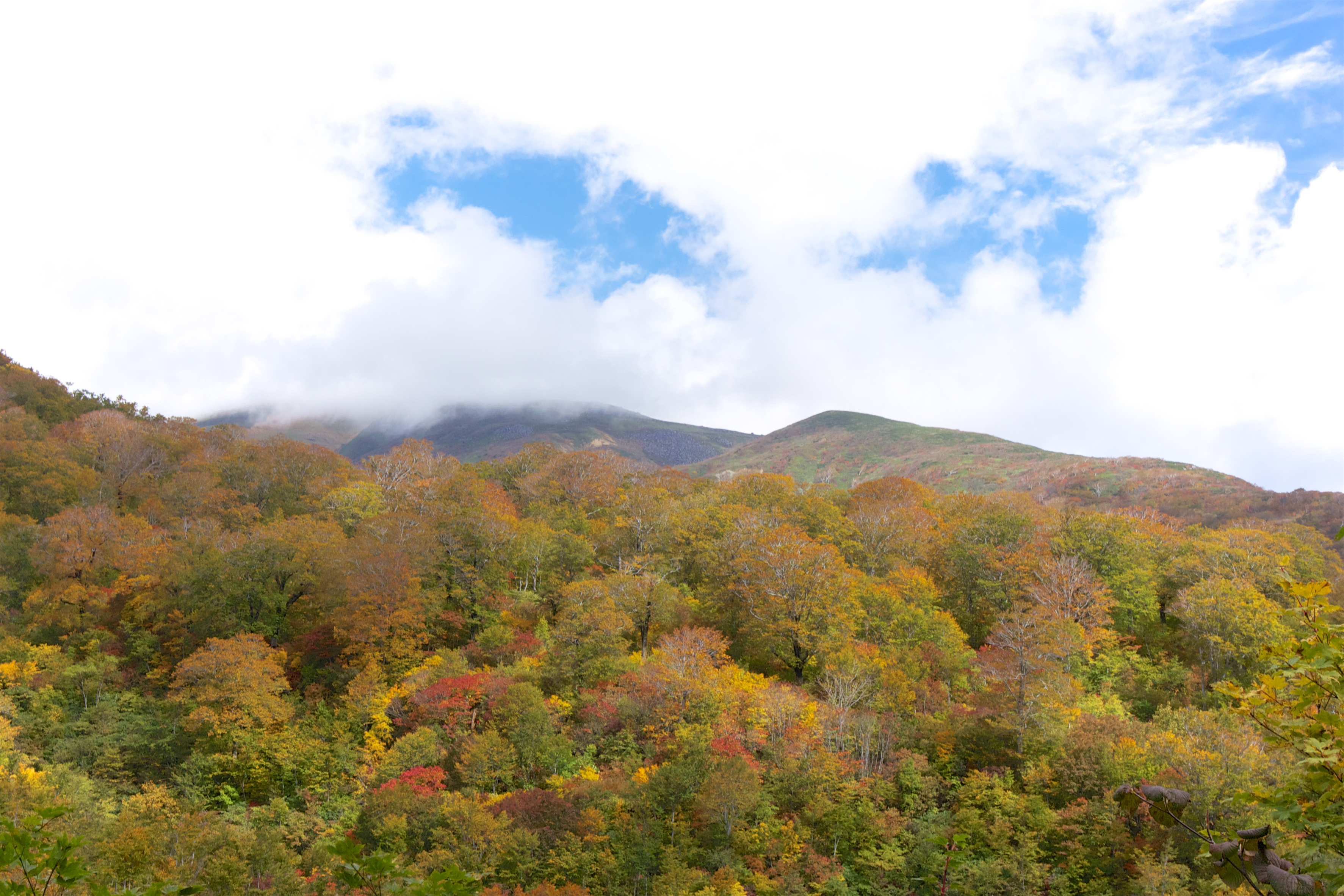
月山の紅葉

月山は快晴なり。

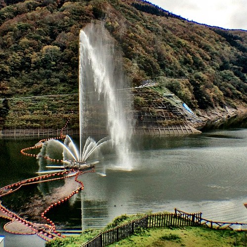
月山湖水の文化館
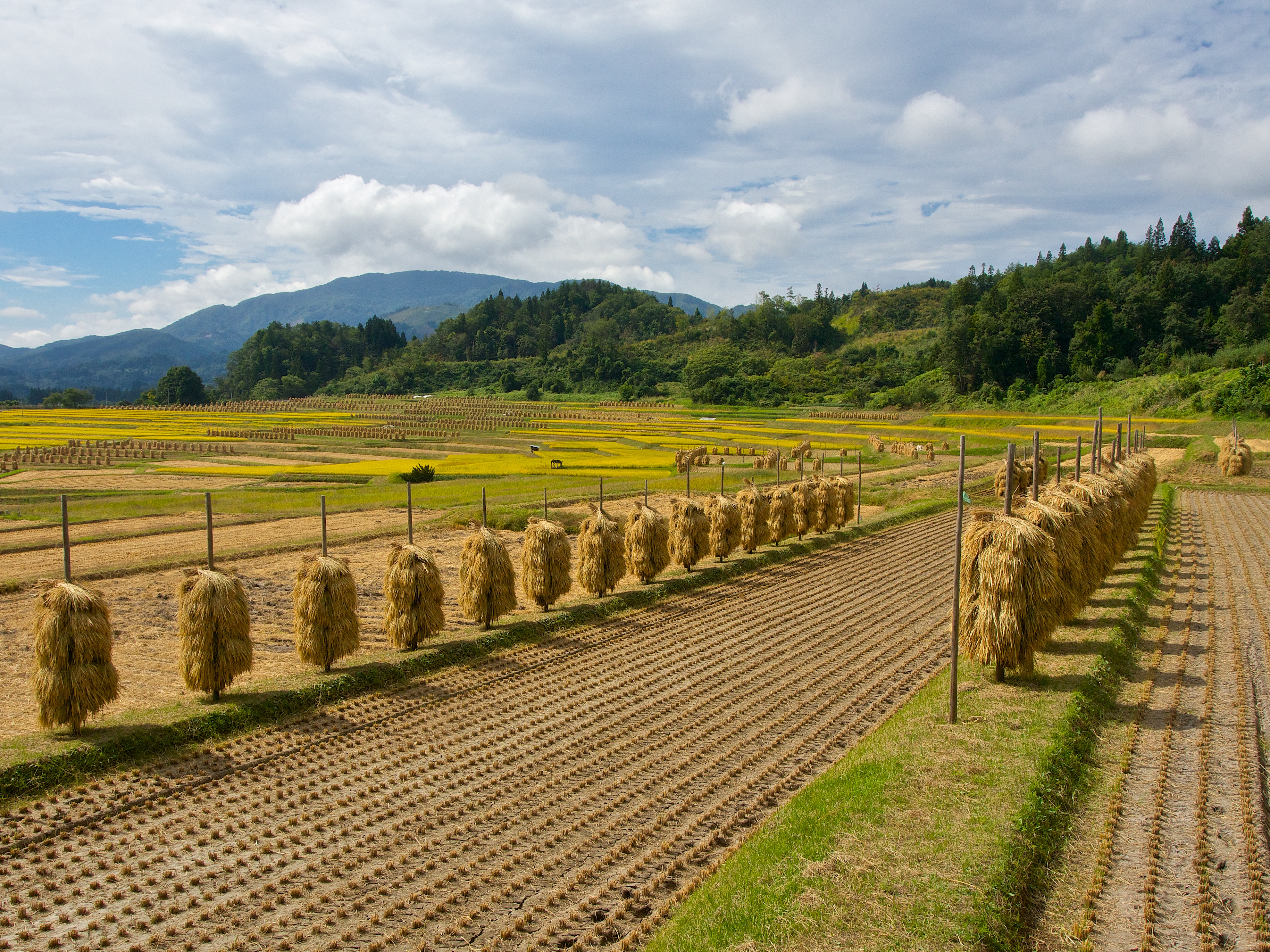
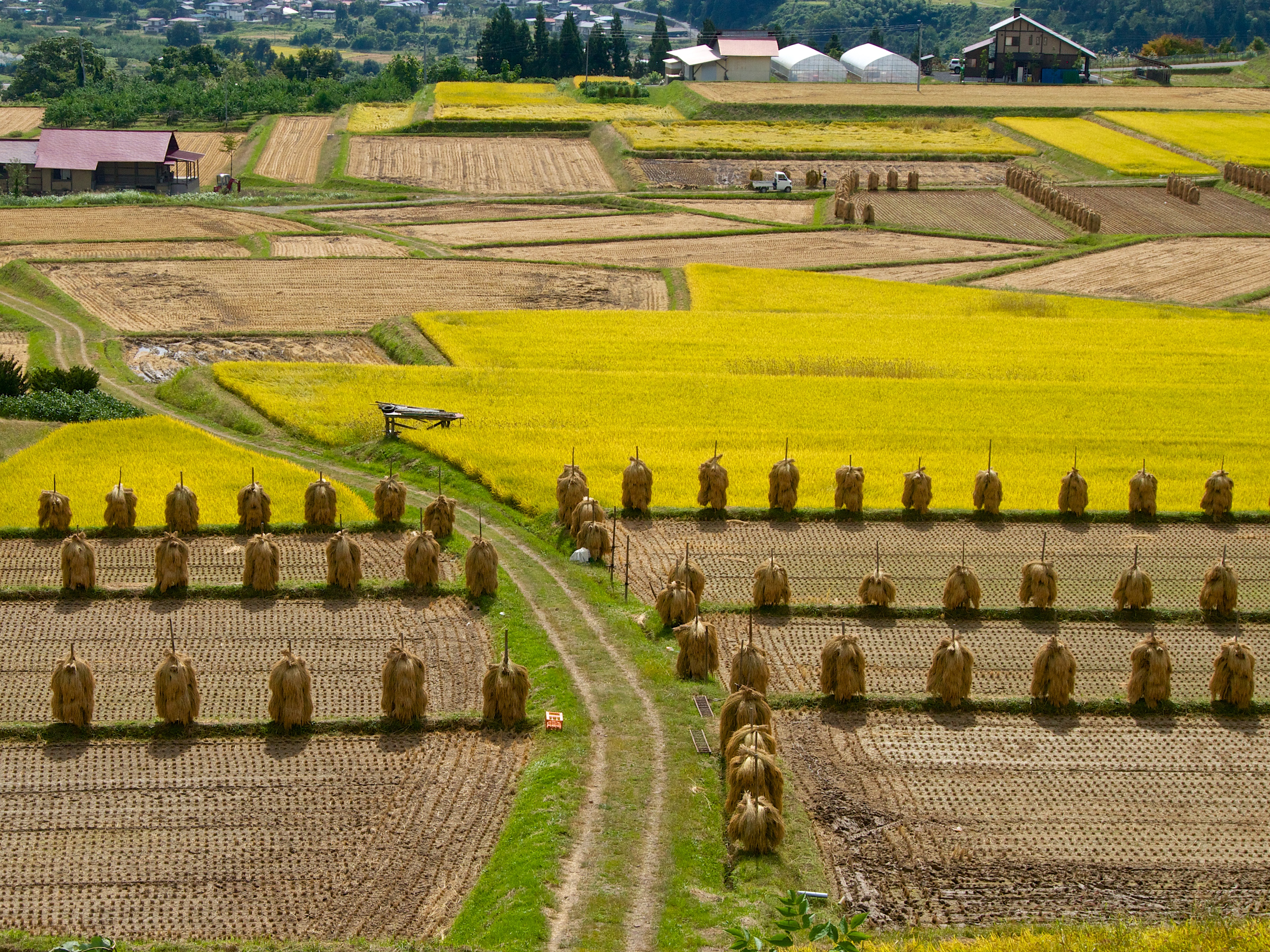
harvest season
DSC00052.JPG

019.県指定最上川ビューポイント(朝日町玉ノ井地区)

月山。

ブナ林の雪紅葉

Gassan 20140928-4

DSC00061.JPG

山形自動車道・月山湖PA上り
DSC00103.JPG
川のそばで山菜料理。鮎の塩焼きに松茸の天ぷら、山菜入りの芋煮…どれも美味しかった〜
Mt.Gassan 20151004-2
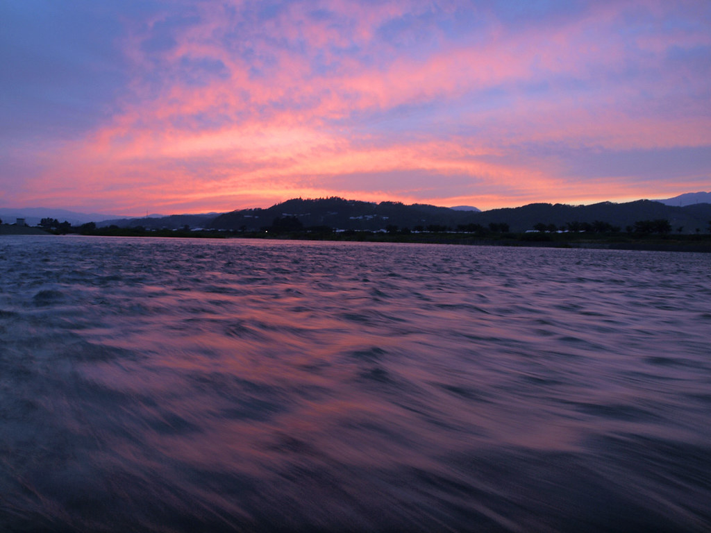
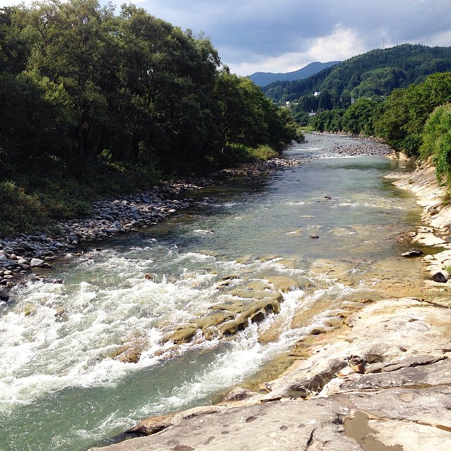
Riverside at sunset
Topographic Map of Nishikawa, Nishimurayama District, Yamagata Prefecture, Japan
Find elevation by address:

Places in Nishikawa, Nishimurayama District, Yamagata Prefecture, Japan:
Places near Nishikawa, Nishimurayama District, Yamagata Prefecture, Japan:
Oe
Tomeba, Sagae-shi, Yamagata-ken -, Japan
Tomizawa, Ōe-machi, Nishimurayama-gun, Yamagata-ken -, Japan
Sawaguchi, Ōe-machi, Nishimurayama-gun, Yamagata-ken -, Japan
Nishimurayama District
Tsukioka, Nishikawa-machi, Nishimurayama-gun, Yamagata-ken -, Japan
Asahi
Sagae
22-17 Tsuchihashi, Nakayama-machi, Higashimurayama-gun, Yamagata-ken -, Japan
Higashimurayama District
Nakayama
Kahoku
Yoshiwara- Mizonobe, Kahoku-chō, Nishimurayama-gun, Yamagata-ken -, Japan
Mount Gassan
3 Chome-1-13 Midorigaoka, Yamanobe-machi, Higashimurayama-gun, Yamagata-ken -, Japan
Yamanobe
番外地
Minamiyama, Ōkura-mura, Mogami-gun, Yamagata-ken -, Japan
Shirotori, Murayama-shi, Yamagata-ken -, Japan
Takaoka, Shirataka-machi, Nishiokitama-gun, Yamagata-ken -, Japan
Recent Searches:
- Elevation of Corso Fratelli Cairoli, 35, Macerata MC, Italy
- Elevation of Tallevast Rd, Sarasota, FL, USA
- Elevation of 4th St E, Sonoma, CA, USA
- Elevation of Black Hollow Rd, Pennsdale, PA, USA
- Elevation of Oakland Ave, Williamsport, PA, USA
- Elevation of Pedrógão Grande, Portugal
- Elevation of Klee Dr, Martinsburg, WV, USA
- Elevation of Via Roma, Pieranica CR, Italy
- Elevation of Tavkvetili Mountain, Georgia
- Elevation of Hartfords Bluff Cir, Mt Pleasant, SC, USA