Elevation of Nipigon River, Nipigon, ON, Canada
Location: Canada > Ontario > Thunder Bay District > Nipigon >
Longitude: -88.257413
Latitude: 48.9758362
Elevation: 184m / 604feet
Barometric Pressure: 99KPa
Elevation Map:
Satellite Map:
Related Photos:
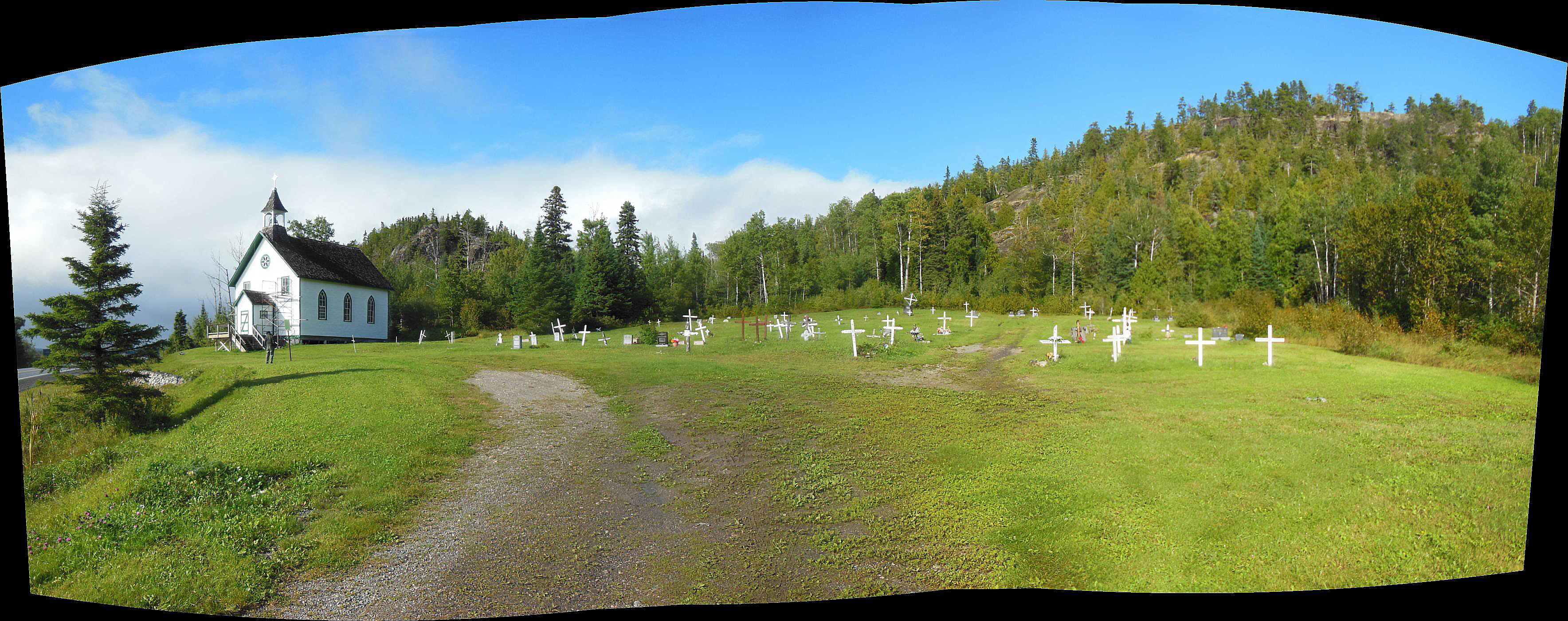
St Sylvester's Mission Church, near Nipigon, Ontario
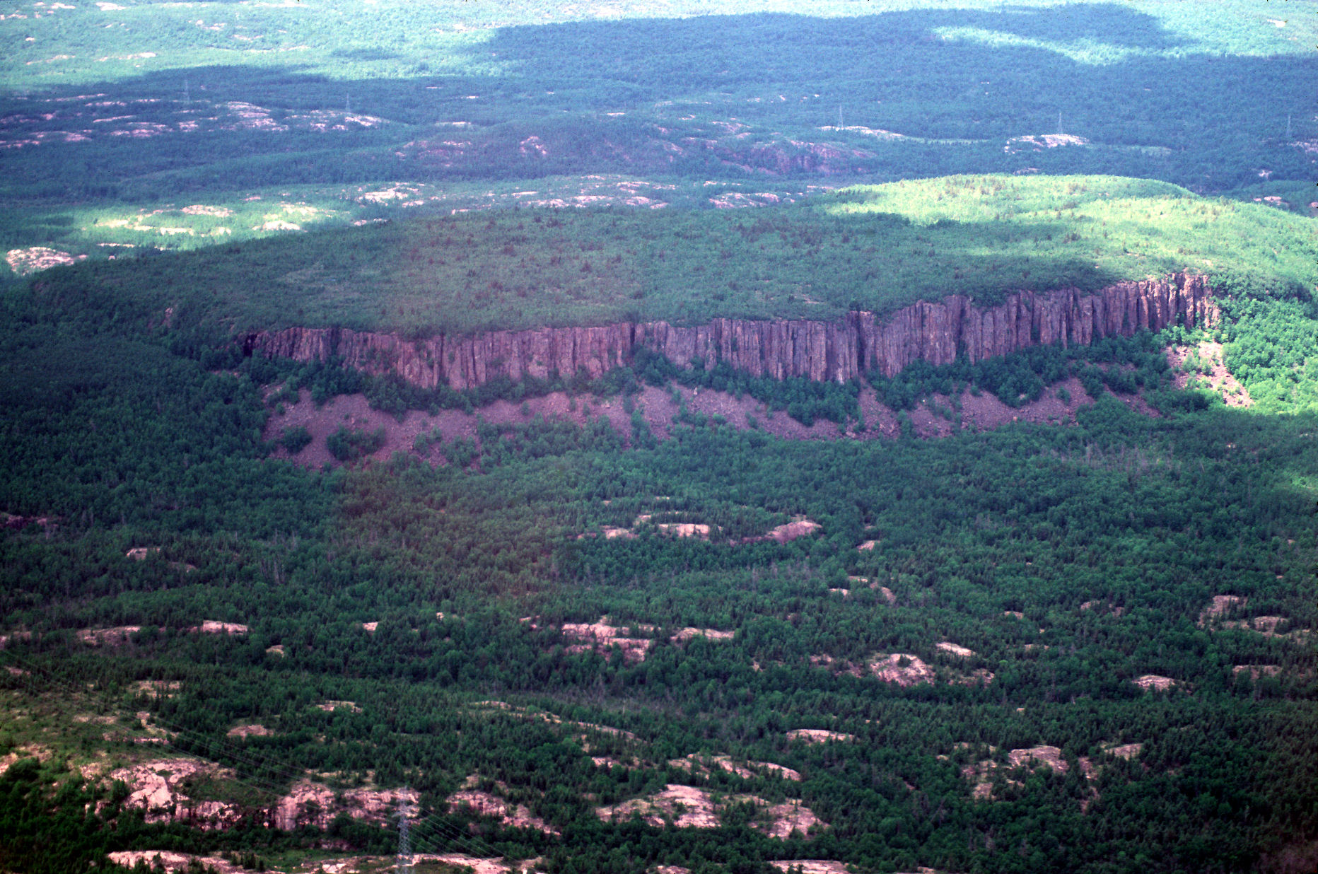
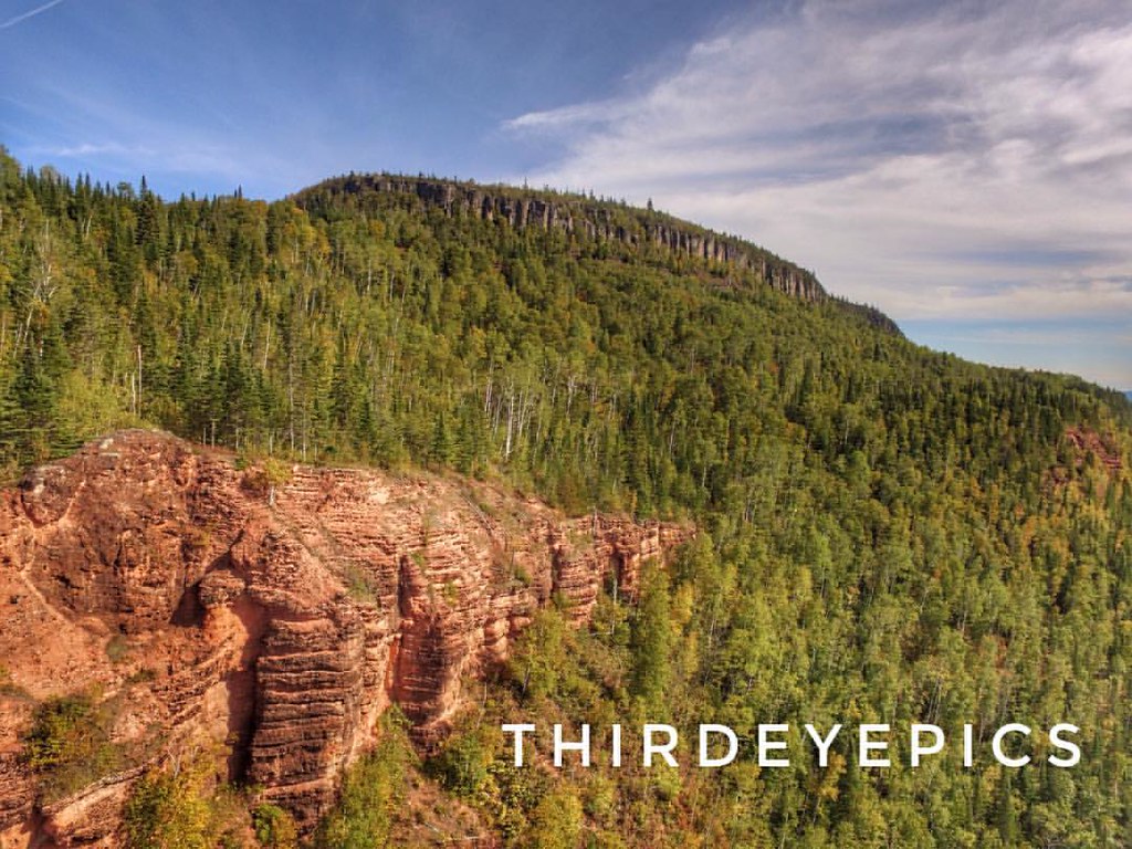
Diabase sill on Granite W of Red Rock Cuesta
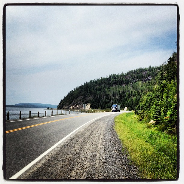
Lake Helen, North of Nipigon. What a road.
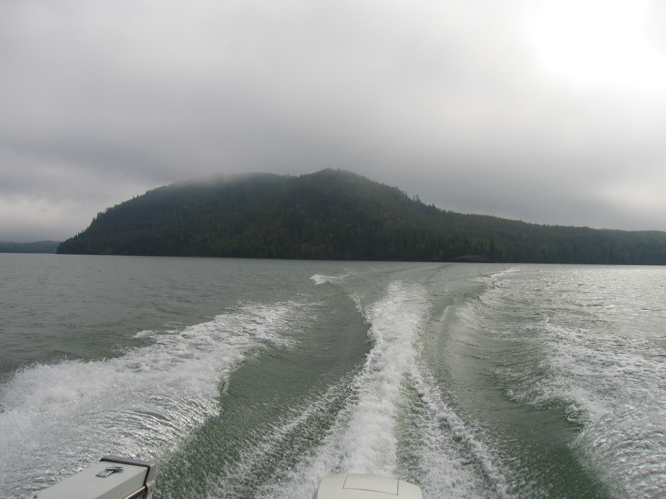
Vert Island departure

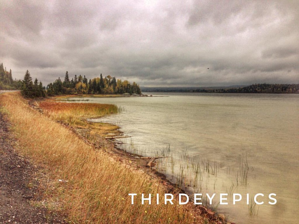
Hurkett Cove marsh panorama
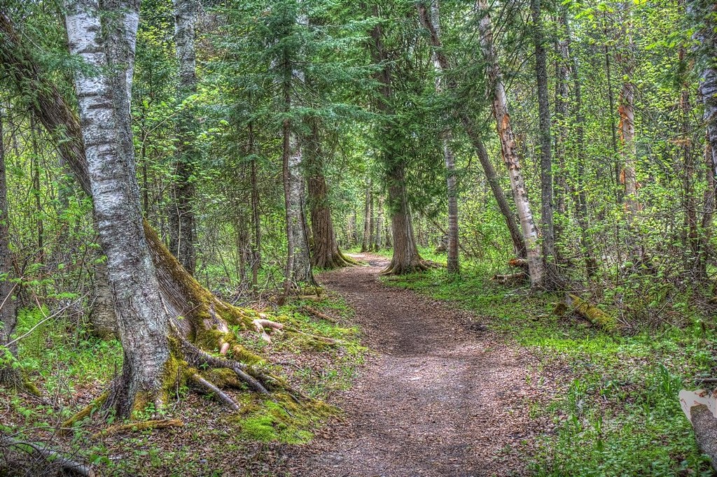
Walk in the Woods
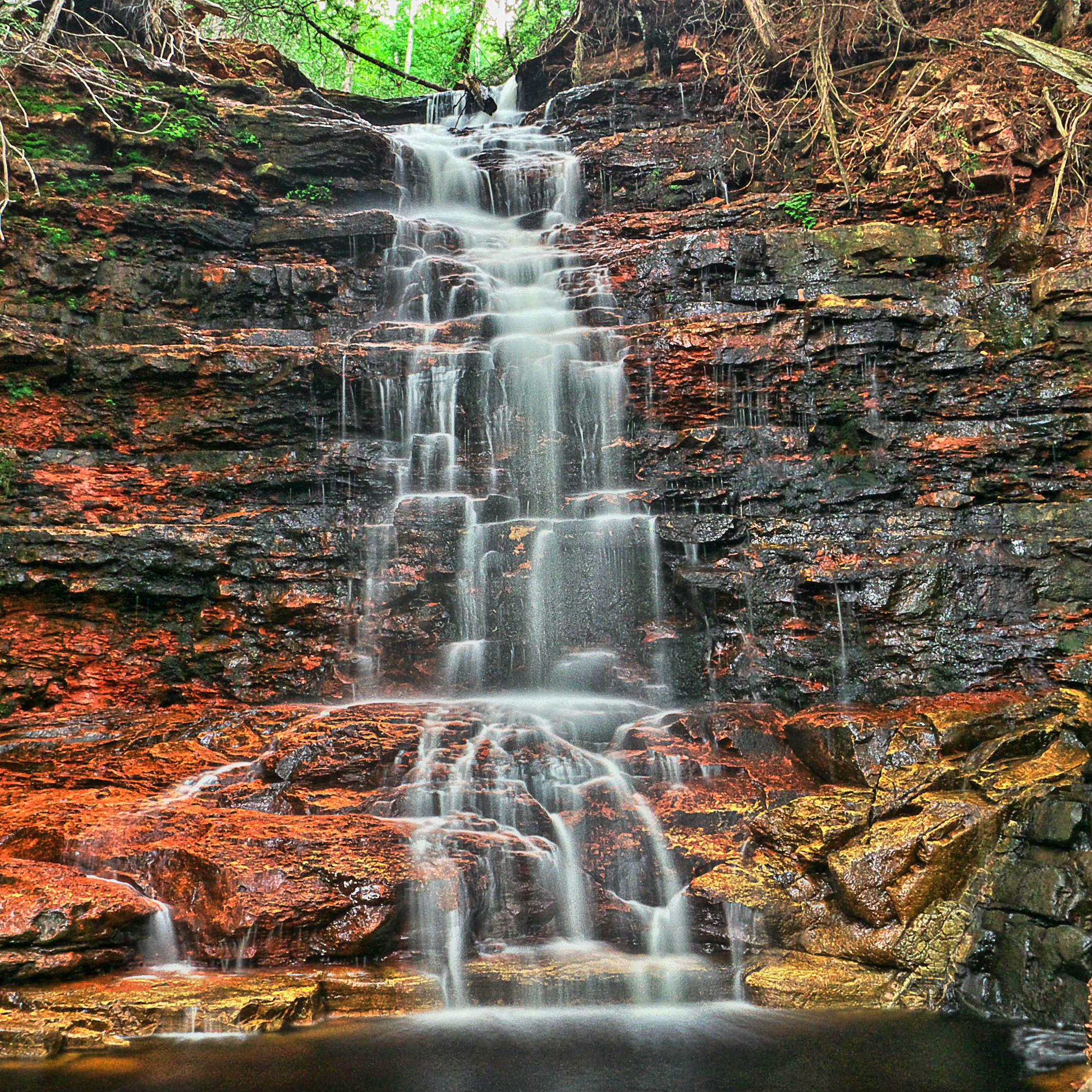
Masukama Falls
Red Rock, Ontario Just an epic day and some epic pictures. Very grateful. #landscapefromabove #landscapephotography #landscape #pocket_family #pocket_canada #landscape_lover #landscapes #drone #drones #dronestagram #dronephotography #dronepics #viewfrom
Red Rock Pano #landscape_captures #landscape #landscapephotography #landscapes #discoverontario #travel #traveltheworld #travelontario #droneacrosscanada #droneacrosscanadatour #pocket_canada #pocket_family #icu_canada #igs_can
Lake Helen #icu_canada #igs_can #pocket_canada #pocket_family #droneacrosscanada #droneacrosscanadatour #traveltheworld #travel #travelontario #discoverontario #landscapes #landscapephotography #landscape #landscape_captures

Day-03 (82)

Day-03 (84)

Day-03 (86)
Topographic Map of Nipigon River, Nipigon, ON, Canada
Find elevation by address:

Places near Nipigon River, Nipigon, ON, Canada:
Red Rock
83 Brompton Rd
81 Rankin St
Nipigon
115 Churchill St
Nipigon
Red Rock
Coughlin Road
Hurkett
313 Trans-canada Hwy
Cedar Island
Houghton Township
Recent Searches:
- Elevation of Congressional Dr, Stevensville, MD, USA
- Elevation of Bellview Rd, McLean, VA, USA
- Elevation of Stage Island Rd, Chatham, MA, USA
- Elevation of Shibuya Scramble Crossing, 21 Udagawacho, Shibuya City, Tokyo -, Japan
- Elevation of Jadagoniai, Kaunas District Municipality, Lithuania
- Elevation of Pagonija rock, Kranto 7-oji g. 8"N, Kaunas, Lithuania
- Elevation of Co Rd 87, Jamestown, CO, USA
- Elevation of Tenjo, Cundinamarca, Colombia
- Elevation of Côte-des-Neiges, Montreal, QC H4A 3J6, Canada
- Elevation of Bobcat Dr, Helena, MT, USA