Elevation of Ninnescah, KS, USA
Location: United States > Kansas > Sedgwick County >
Longitude: -97.546388
Latitude: 37.5040379
Elevation: 385m / 1263feet
Barometric Pressure: 97KPa
Elevation Map:
Satellite Map:
Related Photos:

Neal Shooting My G23C

Observatory at work

New Building_09 19 09_3419_edited-1

Last shot of the night

Stargazing party

Inside the dome

image_42[1]

Day 153 - A Side
IMG_1345[1]

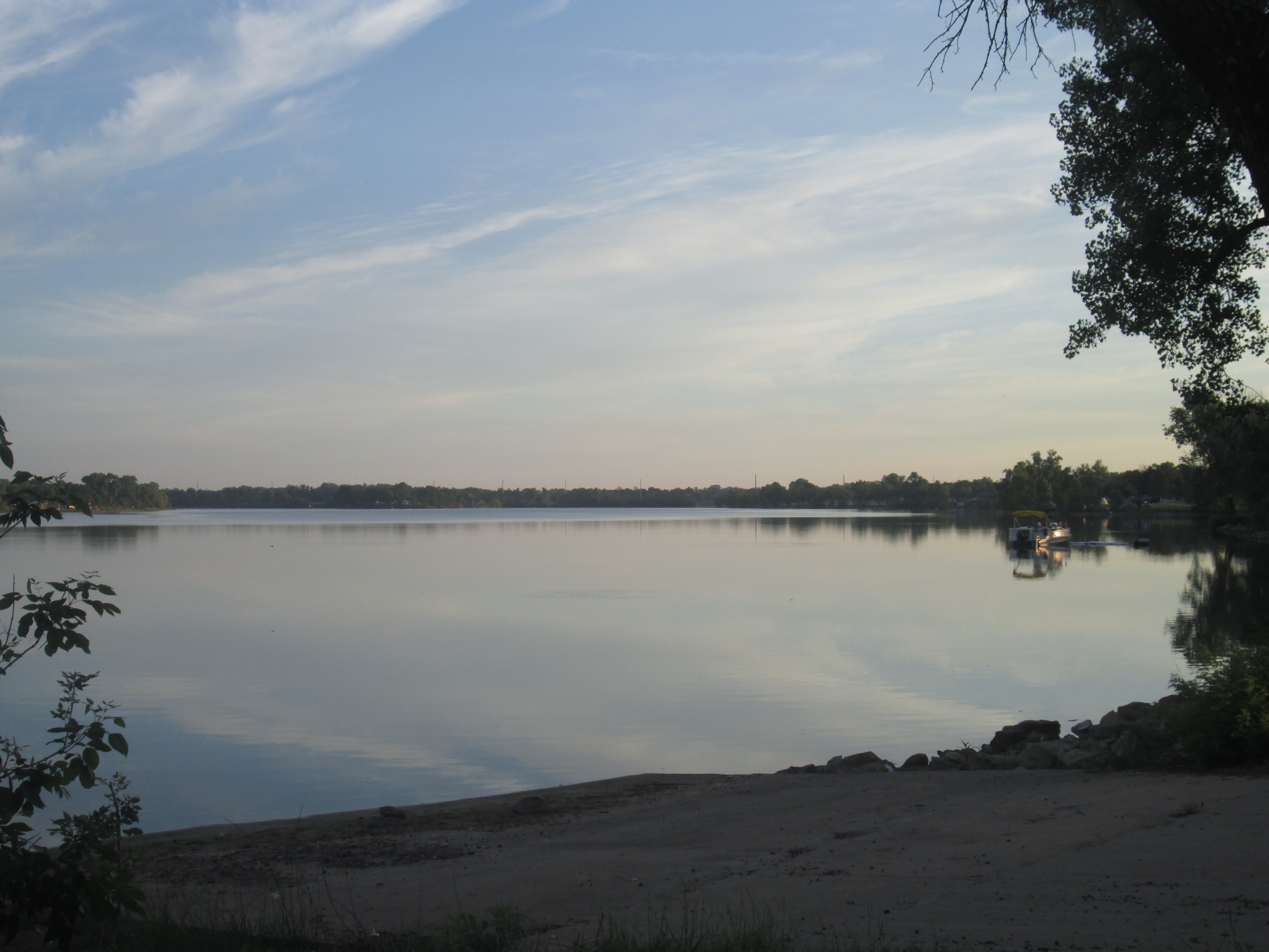
Lake Afton

IMG_1348[1]

Lake Afton

Lake Afton

New Building_09 19 09_3287_edited-1

Day 160 - Original

0704081358.jpg
Topographic Map of Ninnescah, KS, USA
Find elevation by address:

Places near Ninnescah, KS, USA:
10902 S 175th St W
10800 S 175th St W
Clearwater
S rd St W, Viola, KS, USA
Illinois
S Tyler Rd, Clearwater, KS, USA
Ohio
N Pacific Rd, Wellington, KS, USA
Sedgwick County
Goddard
N Main St, Goddard, KS, USA
814 N Conway Springs Rd
Oak Street Elementary
S Tyler Rd, Wichita, KS, USA
19944 W Kellogg Dr
2241 S Milstead Ct
Sumner
100 Ks-49
838 S 199th St W
10047 S Meridian St
Recent Searches:
- Elevation of Co Rd 87, Jamestown, CO, USA
- Elevation of Tenjo, Cundinamarca, Colombia
- Elevation of Côte-des-Neiges, Montreal, QC H4A 3J6, Canada
- Elevation of Bobcat Dr, Helena, MT, USA
- Elevation of Zu den Ihlowbergen, Althüttendorf, Germany
- Elevation of Badaber, Peshawar, Khyber Pakhtunkhwa, Pakistan
- Elevation of SE Heron Loop, Lincoln City, OR, USA
- Elevation of Slanický ostrov, 01 Námestovo, Slovakia
- Elevation of Spaceport America, Co Rd A, Truth or Consequences, NM, USA
- Elevation of Warwick, RI, USA