Elevation of Ningde, Fujian, China
Location: China > Fujian >
Longitude: 119.547932
Latitude: 26.665617
Elevation: 3m / 10feet
Barometric Pressure: 101KPa
Elevation Map:
Satellite Map:
Related Photos:

滩涂一片云☁

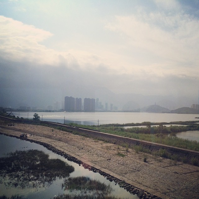
Dawn on Chinese Rail Journey

8/30/2018 part 5

8/30/2018 part 5

8/30/2018 part 5

⋯⋯
宁德市

117. China Road

114. China Road

2011-07-20 14-50-06_0148

2011-07-19 13-51-02_0145

2011-07-19 13-50-59_0144

2011-07-19 13-50-47_0143

2011-07-19 13-50-19_0142

2011-07-19 13-48-09_0139

2011-07-19 13-47-55_0138

2011-07-19 13-47-52_0137

2011-07-19 13-47-45_0136

2011-07-19 13-47-40_0135

2011-07-19 13-25-57_0134

2011-07-19 13-20-31_0133

2011-07-19 13-20-26_0132
Topographic Map of Ningde, Fujian, China
Find elevation by address:

Places in Ningde, Fujian, China:
Places near Ningde, Fujian, China:
Recent Searches:
- Elevation of Chesaw Rd, Oroville, WA, USA
- Elevation of N, Mt Pleasant, UT, USA
- Elevation of 6 Rue Jules Ferry, Beausoleil, France
- Elevation of Sattva Horizon, 4JC6+G9P, Vinayak Nagar, Kattigenahalli, Bengaluru, Karnataka, India
- Elevation of Great Brook Sports, Gold Star Hwy, Groton, CT, USA
- Elevation of 10 Mountain Laurels Dr, Nashua, NH, USA
- Elevation of 16 Gilboa Ln, Nashua, NH, USA
- Elevation of Laurel Rd, Townsend, TN, USA
- Elevation of 3 Nestling Wood Dr, Long Valley, NJ, USA
- Elevation of Ilungu, Tanzania