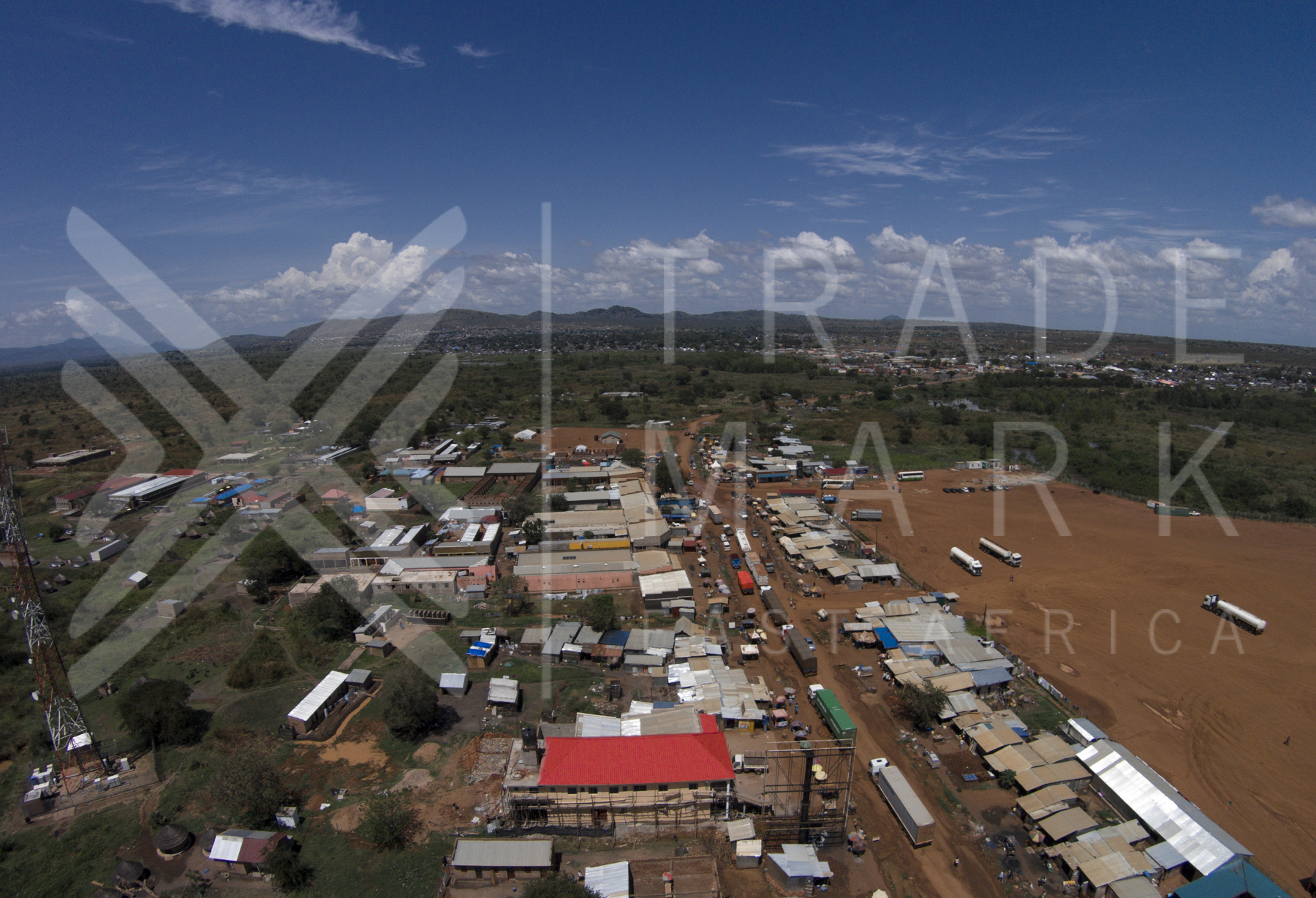
Elevation of Nimule, South Sudan
Location: South Sudan > Eastern Equatoria > Magwi >
Longitude: 32.0638586
Latitude: 3.5915846
Elevation: 631m / 2070feet
Barometric Pressure: 94KPa
Elevation Map:
Satellite Map:
Related Photos:

Elegu town, looking into Atiak, Southern Sudan.
TMEA-Uganda-263

NorthernCorridorPhotography-Uganda-262

SSUDAN-0224
Topographic Map of Nimule, South Sudan
Find elevation by address:

Places near Nimule, South Sudan:
Recent Searches:
- Elevation of Tater Hill, Oklahoma, USA
- Elevation of NY-, Friendship, NY, USA
- Elevation of 64 Danakas Dr, Winnipeg, MB R2C 5N7, Canada
- Elevation of 4 Vale Rd, Sheffield S3 9QX, UK
- Elevation of Keene Point Drive, Keene Point Dr, Grant, AL, USA
- Elevation of State St, Zanesville, OH, USA
- Elevation of Austin Stone Dr, Haslet, TX, USA
- Elevation of Bydgoszcz, Poland
- Elevation of Bydgoszcz, Poland
- Elevation of Calais Dr, Del Mar, CA, USA