Elevation of Nimmitabel NSW, Australia
Location: Australia > New South Wales > Snowy Monaro Regional Council >
Longitude: 149.300214
Latitude: -36.437263
Elevation: 965m / 3166feet
Barometric Pressure: 90KPa
Elevation Map:
Satellite Map:
Related Photos:

5139 on Bombala goods c1963

Soaring at FL120 (12,000ft altitude)
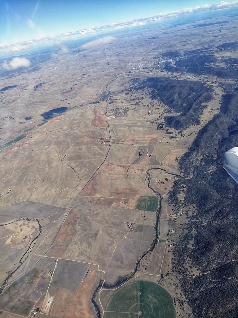
Soaring at FL120 (12,000 ft altitude)

Monaro Grasslands

Maclaughlin Abattoir

.

.

.

.

.

around Australia
Topographic Map of Nimmitabel NSW, Australia
Find elevation by address:

Places near Nimmitabel NSW, Australia:
19 Otway St
Cooma Visitors Centre
Cooma
White Manor Motel
Badja
Green Hills Firetrail
Bredbo
Galba
Wandella
Dignams Creek
Gulaga National Park
Gulaga National Park
Bermagui
Tilba Tilba
263 Corkhill Dr
Punkalla Tilba Road
Central Tilba
123 Brushgrove Ln
Brushgrove Lane
Sunnyside Road
Recent Searches:
- Elevation of Crystal Cir, Birmingham, AL, USA
- Elevation of N Railroad Ave, West Palm Beach, FL, USA
- Elevation of 55 Cassick Valley Rd, Wellfleet, MA, USA
- Elevation of Ironwood Dr, Minden, NV, USA
- Elevation of 高尾山口駅, Takaomachi, Hachioji, Tokyo -, Japan
- Elevation of 15 Victory Ave, Greenville, SC, USA
- Elevation of Kota Ternate Utara, Ternate City, North Maluku, Indonesia
- Elevation of Allon St, Oceanside, NY, USA
- Elevation of Carroll Creek Rd, Custer, SD, USA
- Elevation of Lust Road, Lust Rd, Florida, USA