Elevation of Niederabsdorf, Austria
Location: Austria > Lower Austria > Gänserndorf District >
Longitude: 16.8533685
Latitude: 48.5748403
Elevation: 154m / 505feet
Barometric Pressure: 99KPa
Elevation Map:
Satellite Map:
Related Photos:
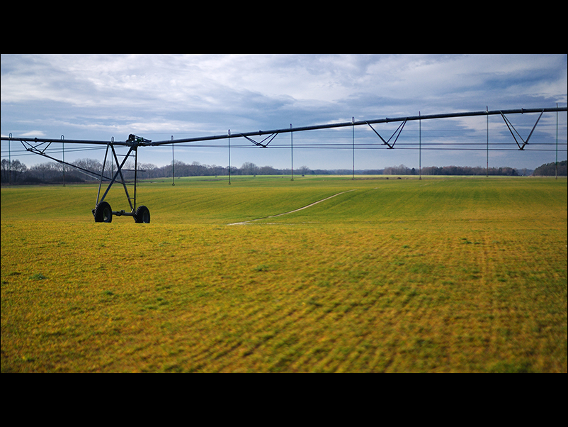
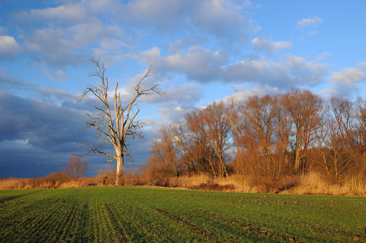
weaving the landscape
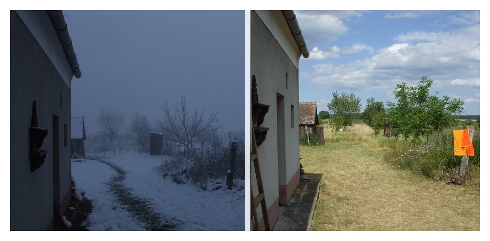
same view, different time

Slovakia, Záhorie region

Kellerberg-Abend 2
Австрия
hdr5-110
Za priekopou

ein Altarm wächst zu

Slovakia, Záhorie region
zaplavená lúka pri Komprzí

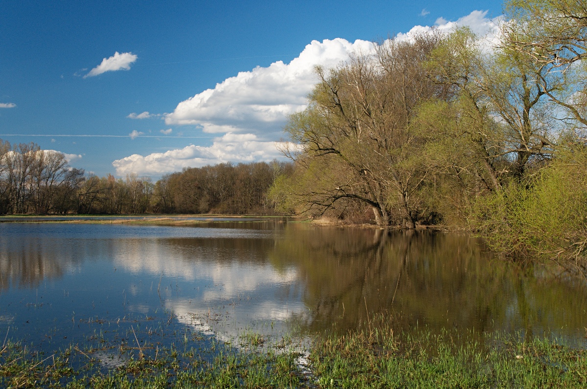
Einlaufbereich an der Thaya

Modern Landscape, Austria
Topographic Map of Niederabsdorf, Austria
Find elevation by address:

Places in Niederabsdorf, Austria:
Places near Niederabsdorf, Austria:
Kirchenberg, Niederabsdorf, Austria
Obere Hauptstraße, Ringelsdorf, Austria
Gänserndorf District
Břeclav District
Mistelbach District
Mikulov
Vinařská
Pod Hájkem /13, 01 Mikulov, Czech Republic
Strasshof An Der Nordbahn
Strasshof An Der Nordbahn
5b
Pillichsdorf
Pillichsdorf
Hochleithenstraße 34, Wolkersdorf im Weinviertel, Austria
Dolní Dunajovice
Hlavní 99, 85 Dolní Dunajovice, Czech Republic
Altmanns 13, Altmanns, Austria
Altmanns
South Moravian Region
Gemeinde Parbasdorf
Recent Searches:
- Elevation of Allon St, Oceanside, NY, USA
- Elevation of Carroll Creek Rd, Custer, SD, USA
- Elevation of Lust Road, Lust Rd, Florida, USA
- Elevation of Pleasant Valley Rd NW, Adairsville, GA, USA
- Elevation of Općina Šodolovci, Croatia
- Elevation of Šodolovci, Croatia
- Elevation of Old Clairton Rd, Jefferson Hills, PA, USA
- Elevation of st Ave SE, Lisbon, ND, USA
- Elevation of Steamboat Island Road Northwest, Olympia, WA, USA
- Elevation of Kootenai Trail Rd, Bonners Ferry, ID, USA