Elevation map of Newell County No. 4, AB T0J, Canada
Location: Canada > Alberta > Division No. 2 >
Longitude: -111.99621
Latitude: 50.6280575
Elevation: 770m / 2526feet
Barometric Pressure: 92KPa
Elevation Map:
Satellite Map:
Related Photos:

Petro-Canada_BrooksAB1

View of Brooks Aqueduct passing under railway track.

Badlands at Dinosaur Provincial Park. Moments later it was bucketing down and we were drenched. #badlands #dinosaurprovincialpark #landscape #jj_landscapes #alberta #canada
Alberta Brooks Aqueduct abandoned irrigation structure CPR 1910s

Baseball Diamond

Beef cattle

Veteran's Park

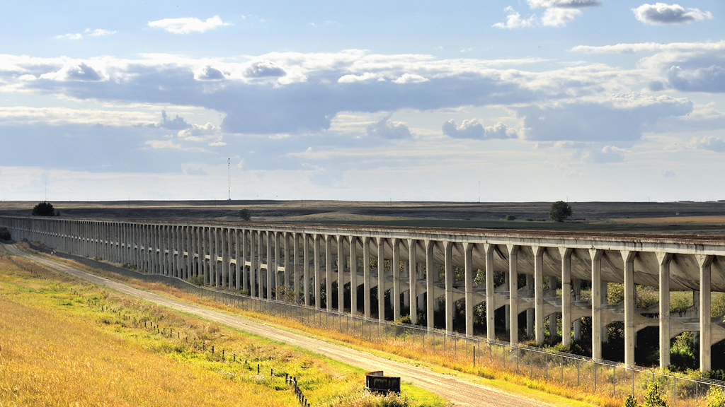
Brooks aqueduct - looking east

Rugged History

IMG_0293.jpg

Southern AB Field Trip D1-045 - Brooks Aqueduct (Oct-04-2016)

Southern AB Field Trip D1-049 - Brooks Aqueduct (Oct-04-2016)

IMG_0294.jpg
Topographic Map of Newell County No. 4, AB T0J, Canada
Find elevation by address:

Places in Newell County No. 4, AB T0J, Canada:
Places near Newell County No. 4, AB T0J, Canada:
1 Roseglen Dr, Rosemary, AB T0J 2W0, Canada
Rosemary
3 Ave, Bassano, AB T0J 0B0, Canada
Bassano
Special Area No. 2
Hanna
Richdale
Byemoor
Veteran
Recent Searches:
- Elevation of Elwyn Dr, Roanoke Rapids, NC, USA
- Elevation of Congressional Dr, Stevensville, MD, USA
- Elevation of Bellview Rd, McLean, VA, USA
- Elevation of Stage Island Rd, Chatham, MA, USA
- Elevation of Shibuya Scramble Crossing, 21 Udagawacho, Shibuya City, Tokyo -, Japan
- Elevation of Jadagoniai, Kaunas District Municipality, Lithuania
- Elevation of Pagonija rock, Kranto 7-oji g. 8"N, Kaunas, Lithuania
- Elevation of Co Rd 87, Jamestown, CO, USA
- Elevation of Tenjo, Cundinamarca, Colombia
- Elevation of Côte-des-Neiges, Montreal, QC H4A 3J6, Canada